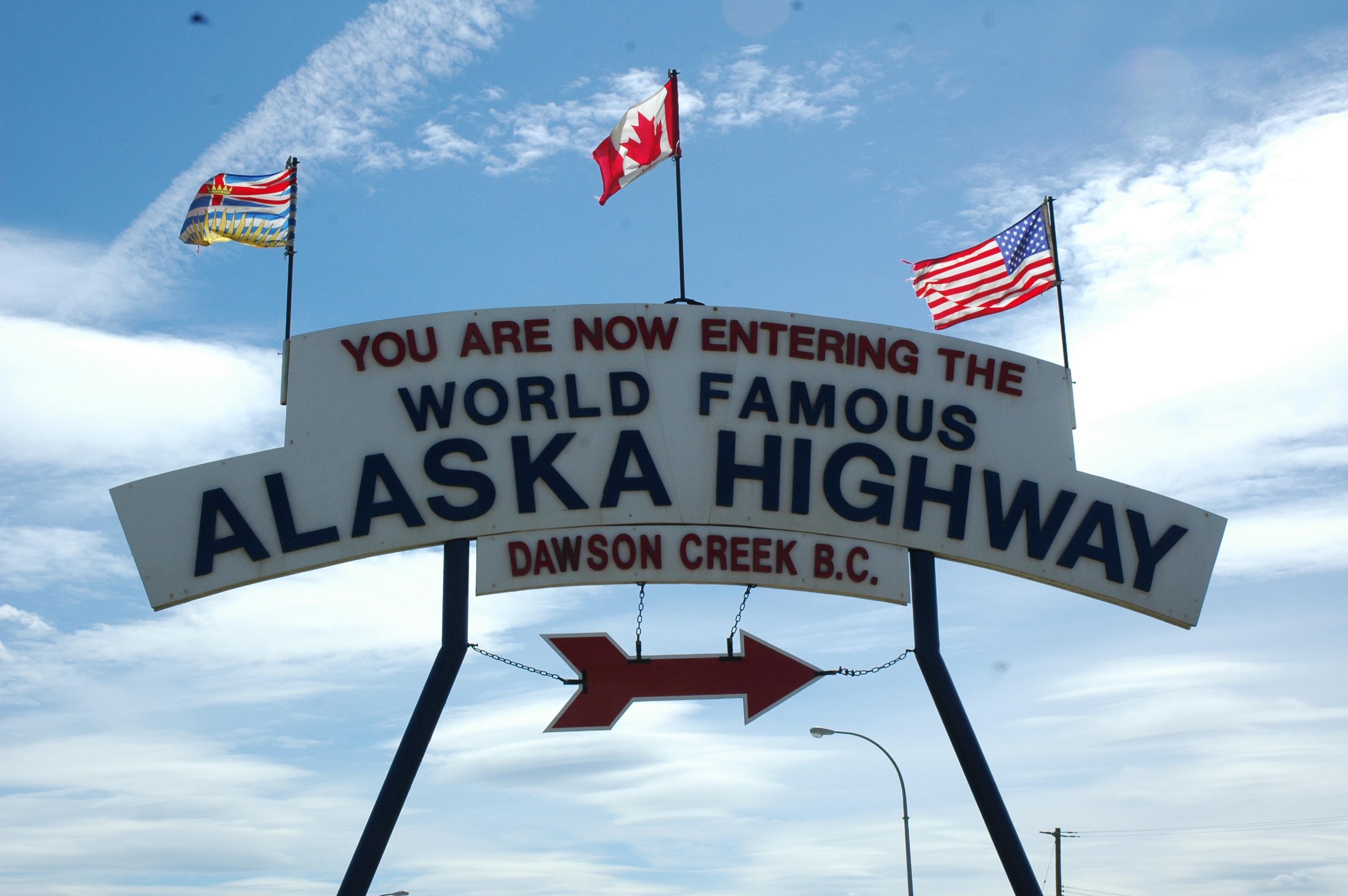
Dawson Creek, BC – The Journey Begins
Our Northwest Territories trip on the Mackenzie Highway ended in Peace River, Alberta. Once we left the Decho Trail we were ready and anxious to take on the Alaskan Highway sometimes known as the ALCAN. That being said after the 9 days and 2,000 miles of the NWT we were ready for a day off from driving. I guess you would call it a mental health time out. Reservations were made at the Mile 0 RV Park in Dawson Creek for two days. We had allocated 8 days to the ALCAN leg which had two extra days built in for “that” unknown adventure. The ALCAN was much easier to drive than we thought (or was led to believe) and most days covered around 300 miles. There were many construction delays along the way most stopping you for no more than 10 to 15 minutes. It eased one’s mind (after the Decho Trail) to know the next service was 50 to 100 miles instead of 150 to 200 miles. The towns along the way had a lot to offer with plenty of little side trips to make it interesting. The scenery was outstanding and so spectacular (at least to me) it was hard to keep your eyes on the road. I now understand why people keep coming back. After Peace River we stayed in Dawson Creek, BC; Fort Nelson, BC; Watson Lake, BC; Whitehorse, YT; Tok, AK; and the last night was near Delta Junction, AK. The final day into Fairbanks was 100 miles. Including the little side trips this leg of our journey covered over 1,600 miles. Just enough rain to be annoying to the photography aspect of the trip otherwise it was perfect.
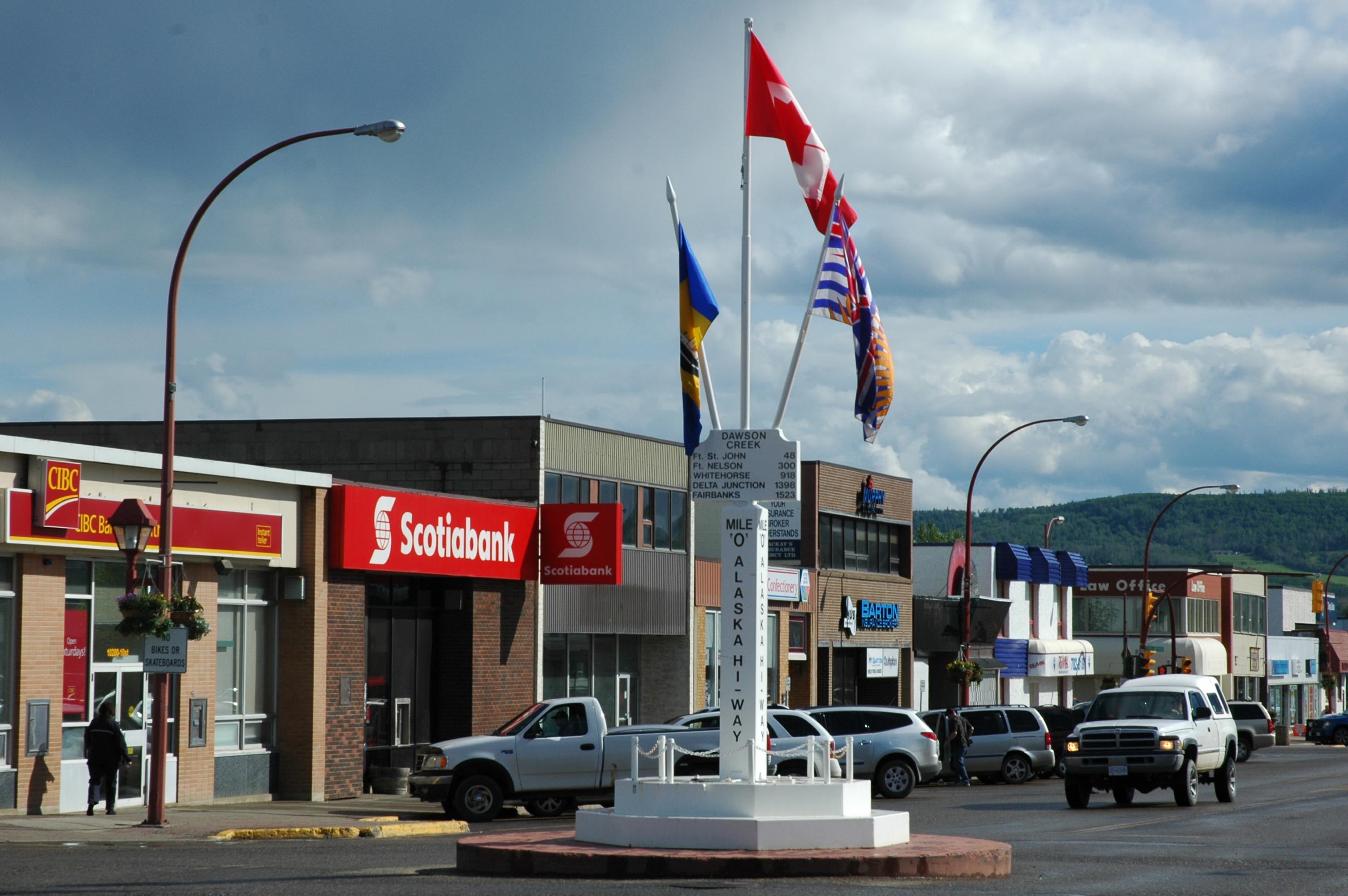
Dawson Creek – Mile 0

Alaskan Highway – Fixing the frost heaves and bumps goes on forever…
The Alaska Highway starts at Dawson Creek, BC and ends in Delta Junction, AK at mile post 1422 with another 100 miles into Fairbanks for a total of 1,500 miles. . Yes, there are mile posts everywhere. You will find most ads for services along the ALCAN have mile post numbers included. If you ever make the trip to Alaska buy a copy of the Milepost publication. It provides a very detailed account/analysis of the road and ever thing along the way. We are also using “Traveler’s Guide to Alaskan Camping” which also does a nice job of providing info without the blow by blow detail found in the Milepost. Both publications have their place.
It was cool to learn more about the ALCAN. It was initially built as a military highway in response to Pearl Harbor. I had to buy the book but did not get the T-shirt. The road was approved by Congress on February 14, 1942 and completed by November 20, 1942 with the help of thousands of military personnel and outside contractors. It was opened to the public in 1948 and has been undergoing continuous improvement since that time. The US actually started building the highway without the Canadian’s approval. We have seen that comment many times along the way. After WWII the US turn over their interest in the highway to the Canadian Government. All is well that ends well.
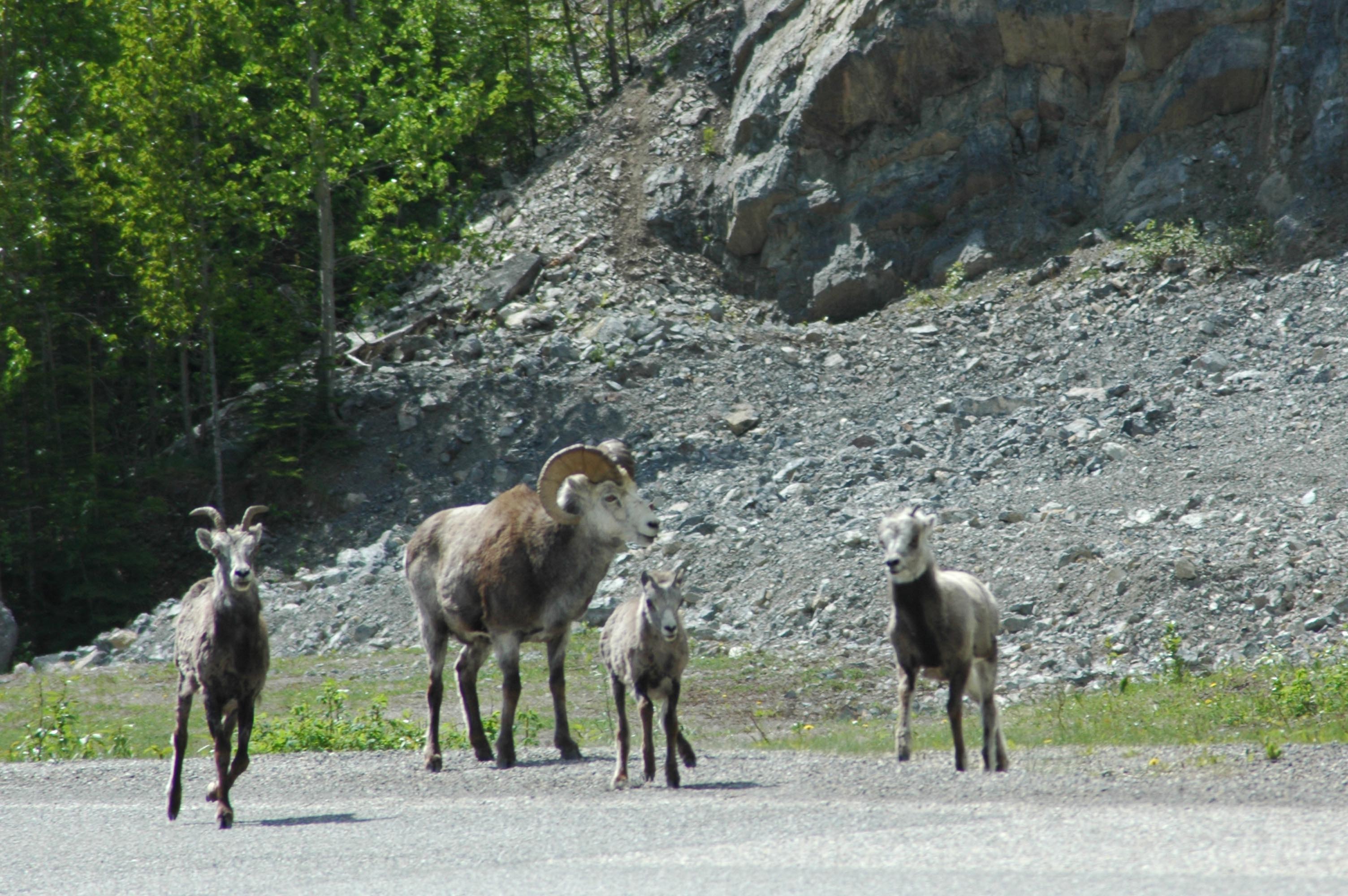
Wild life along the road – Stone Sheep
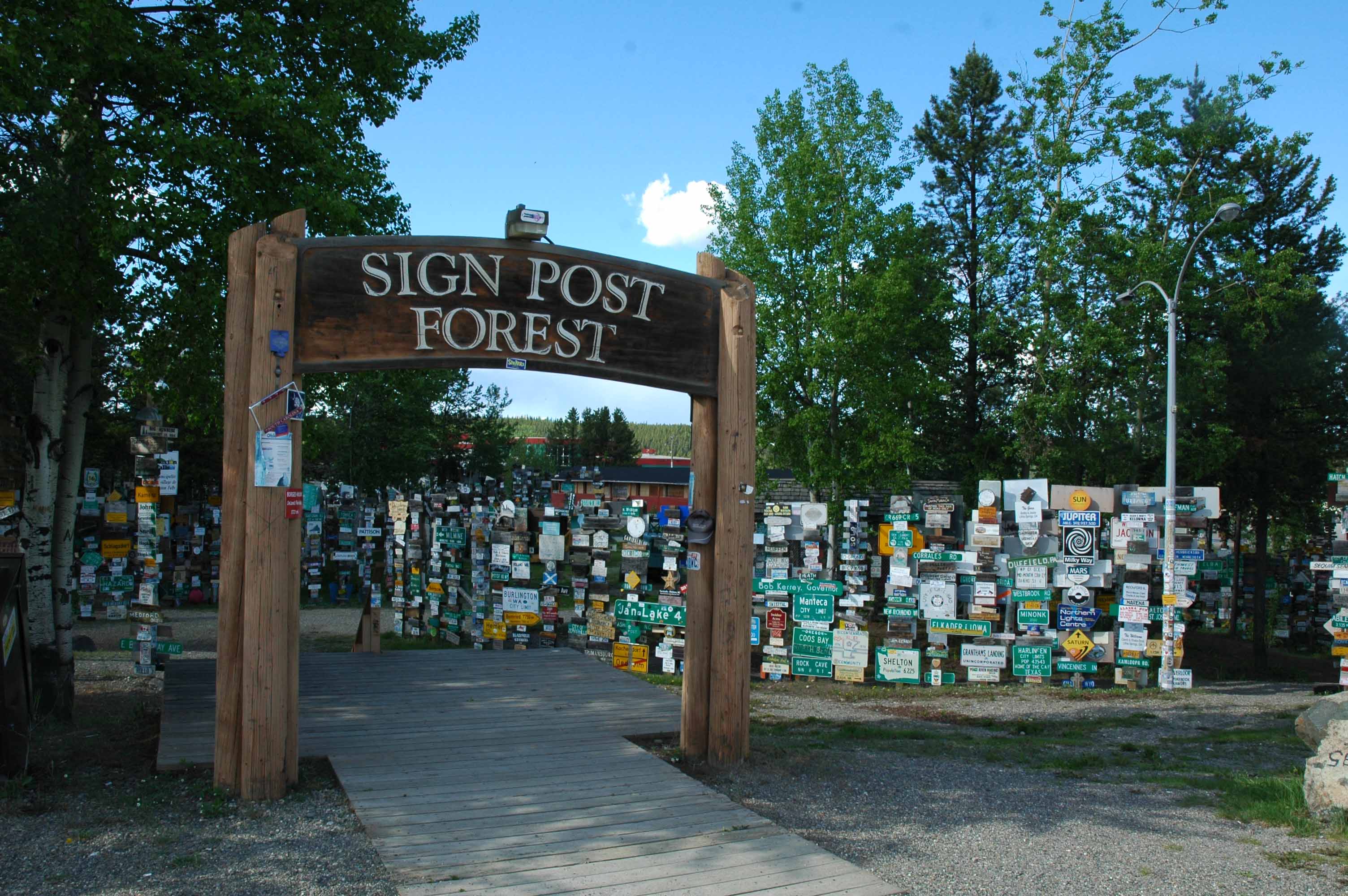
Watson Lake – Sign Post Forest
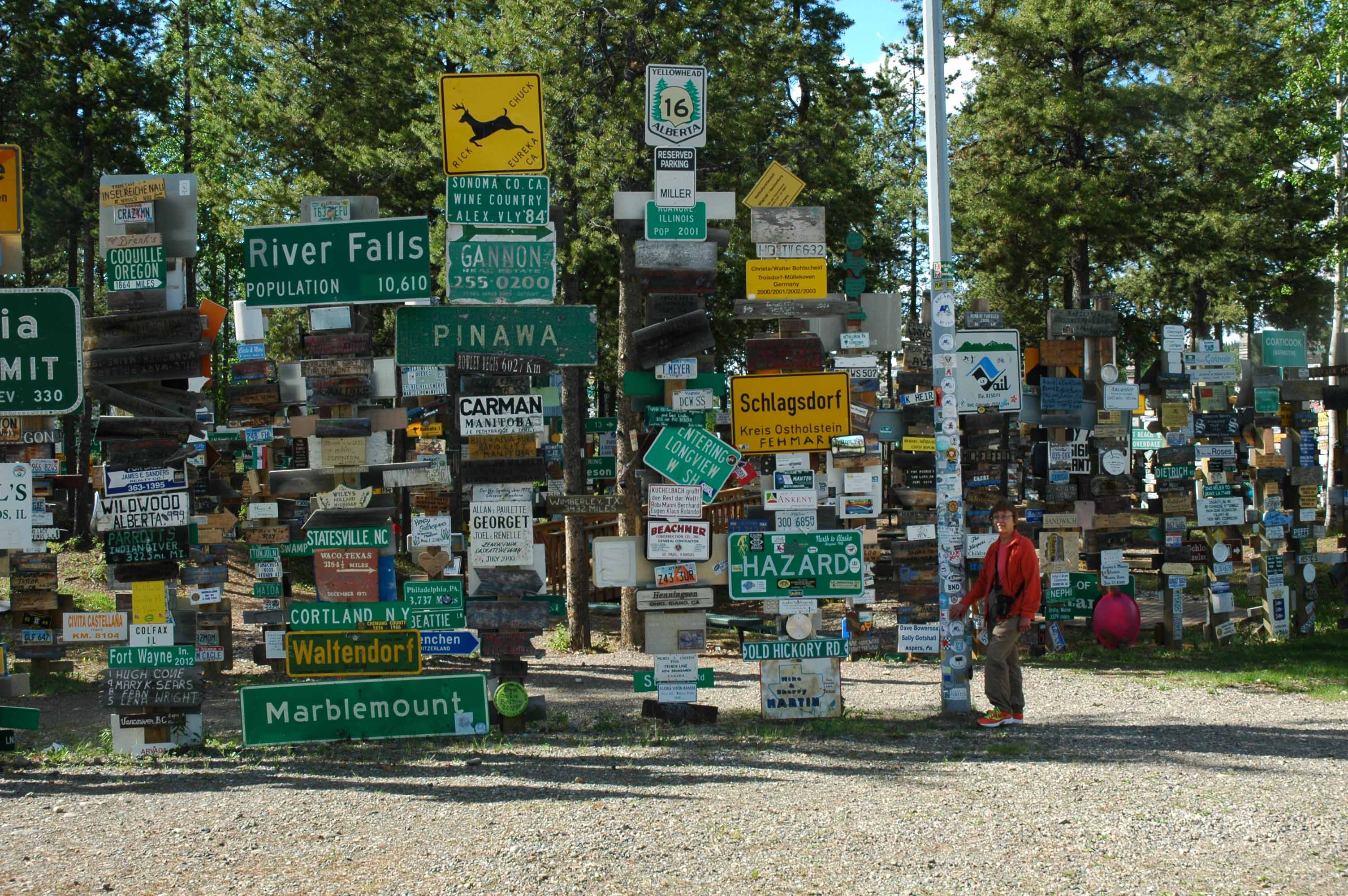
Sign Post – 72,000 and counting
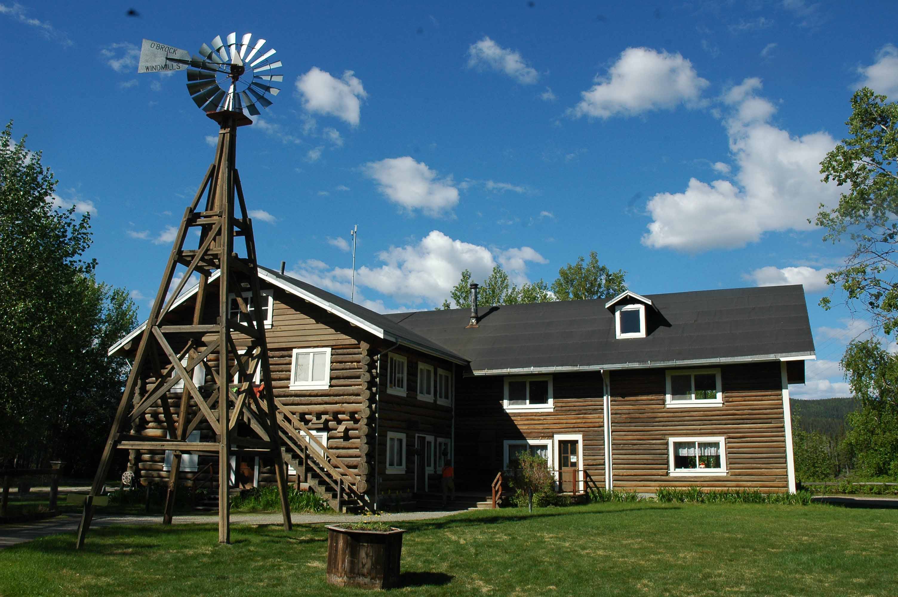
Rika’s Road House
A highlight of the highway was seeing wild life. One day we saw five black bears just hanging out along the road. The highway has no shoulders so if there is traffic you cannot stop to take a picture hence no bear pictures. Other sightings were buffalo, Stone Sheep and Moose. One of the highlights of the trip was the Sign Forest in Watson Lake, BC. It was started by an engineer working on the road in 1942. The sign forest now has over 72,000 signs. The plan is for us to hang ours on the way to Juneau in August. We bumped into a fascinating Alaskan State Park historic site called Rika’s Road House. We stayed the night where we caught up on local history about Rika, her road house and the interesting folks of her time from the turn of the century to the 60’s. She was over 90 when she died. Whitehorse, Yukon Territory is where we ended up using the other extra day. Whitehorse is the capital for the Territory. Total population in the Territory is 35,000 and over 60% live in Whitehorse. There is a lot to do here with well done museums, displays, trails and a nice downtown. We ran out of time so now plan to stop on the way back through. When we started four months seemed like it might be too much time…that is not the case.
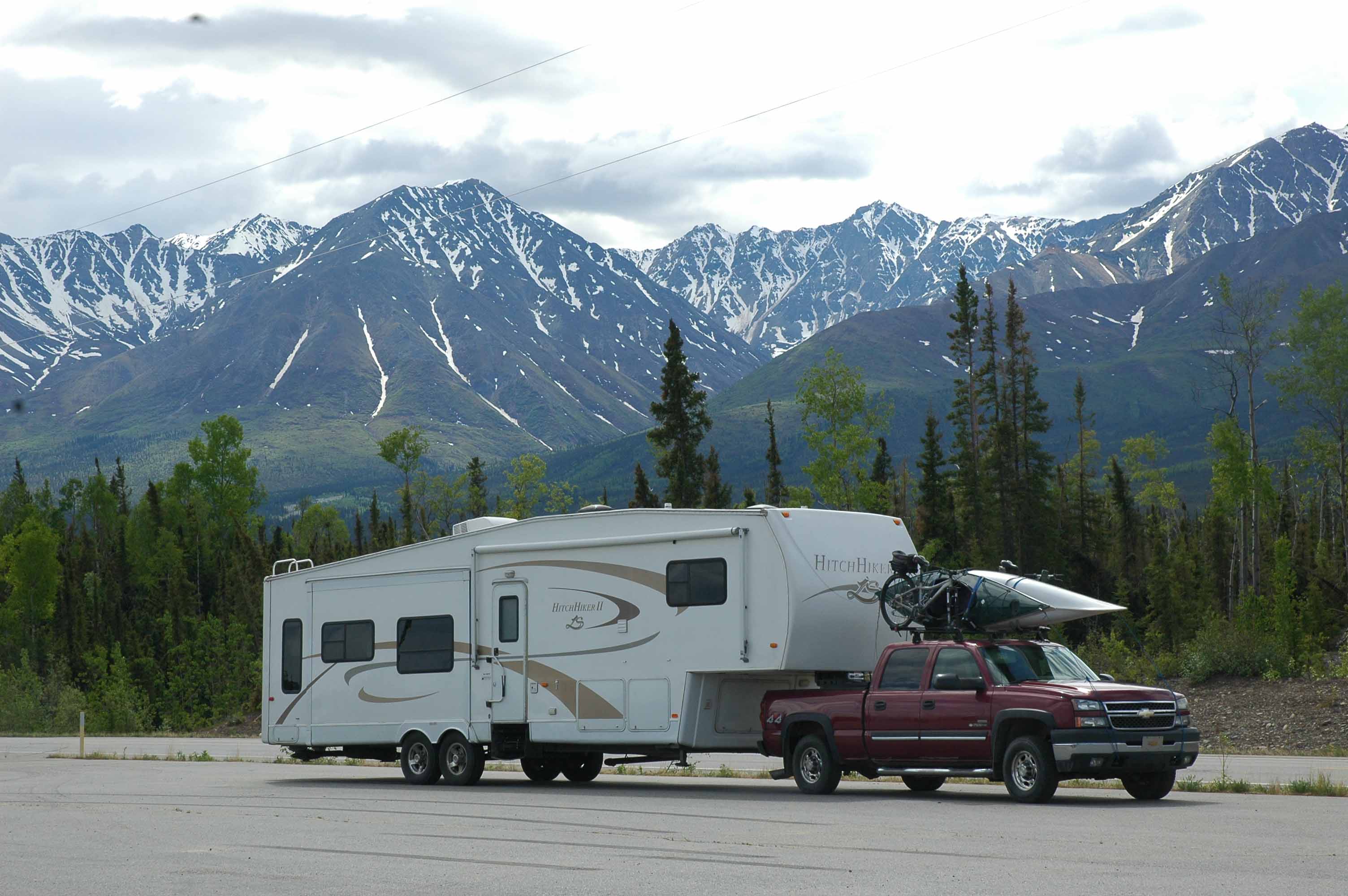
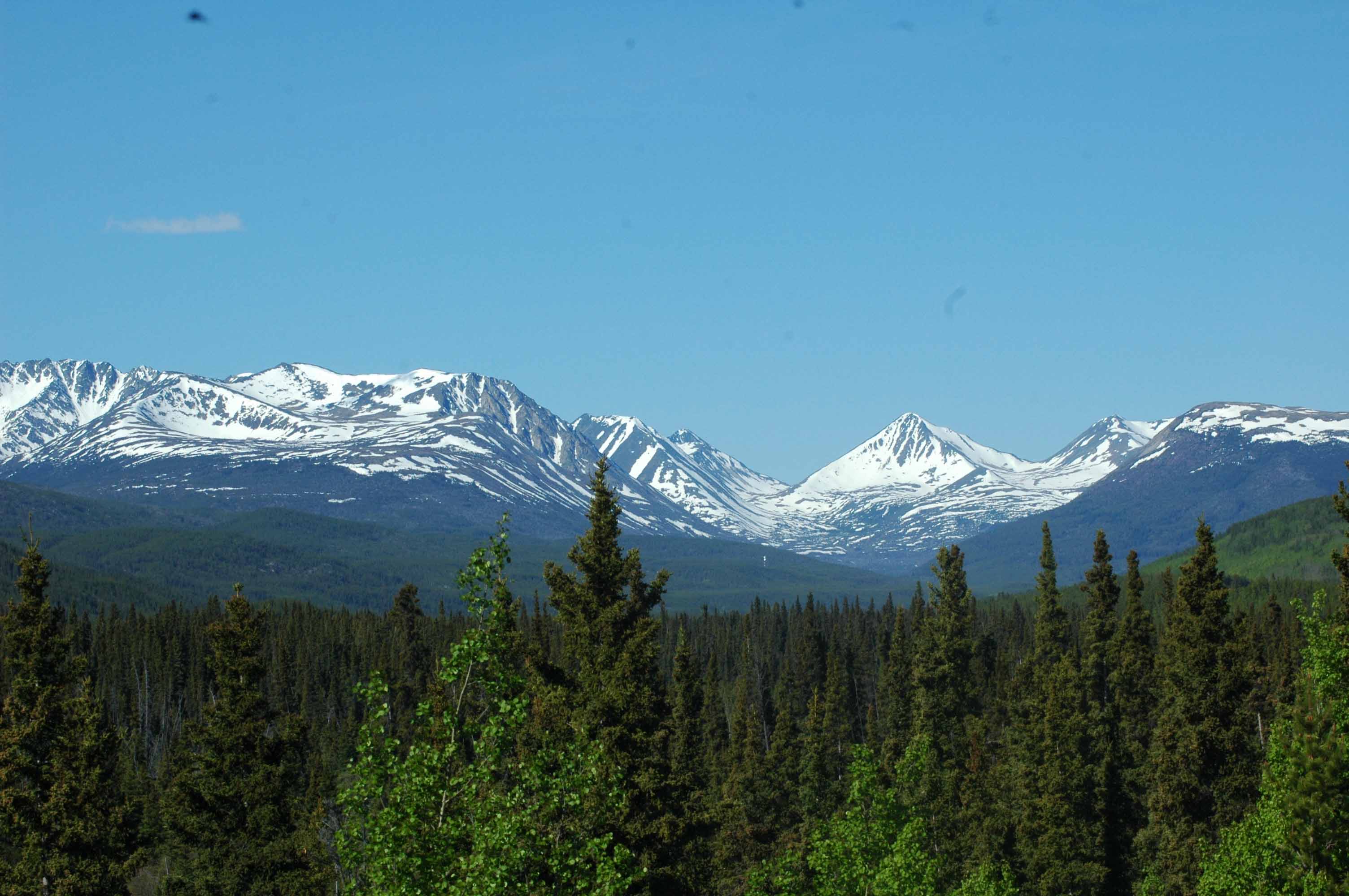
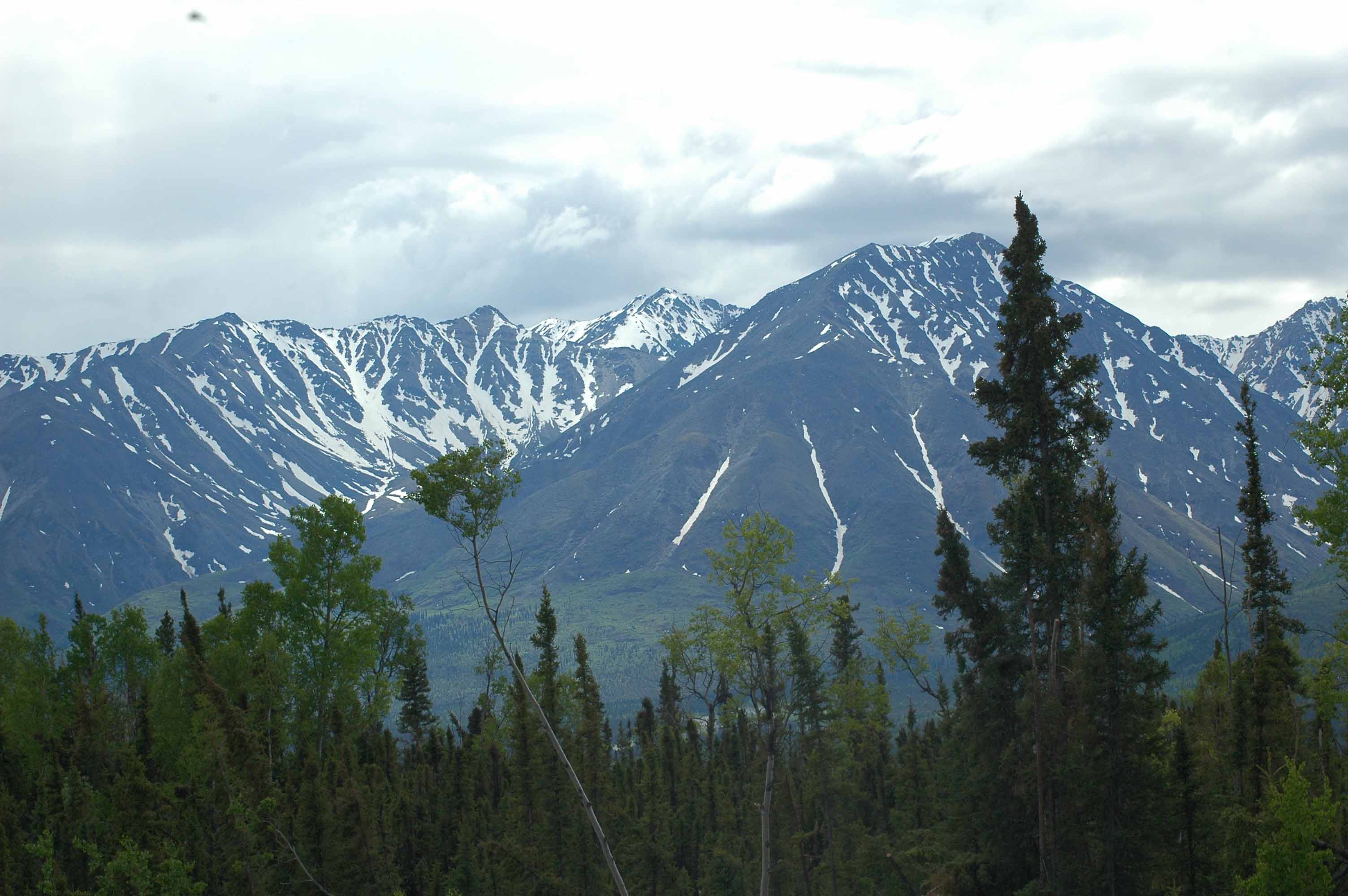
Mountains all the way
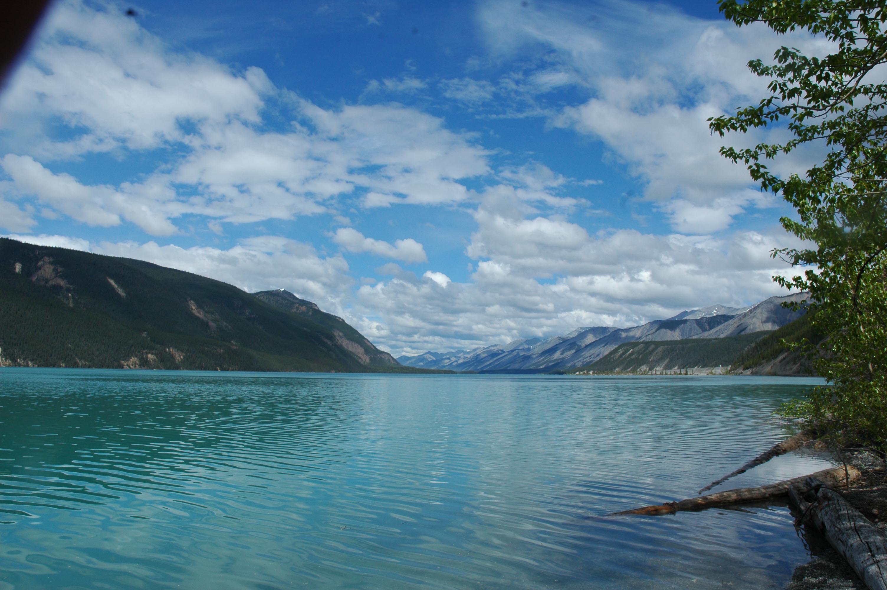
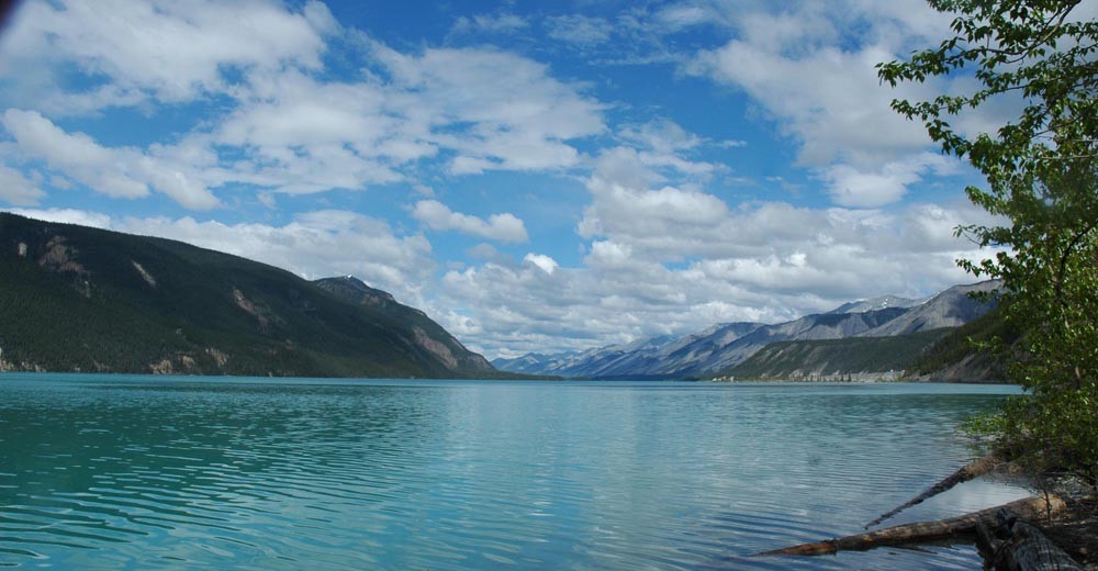
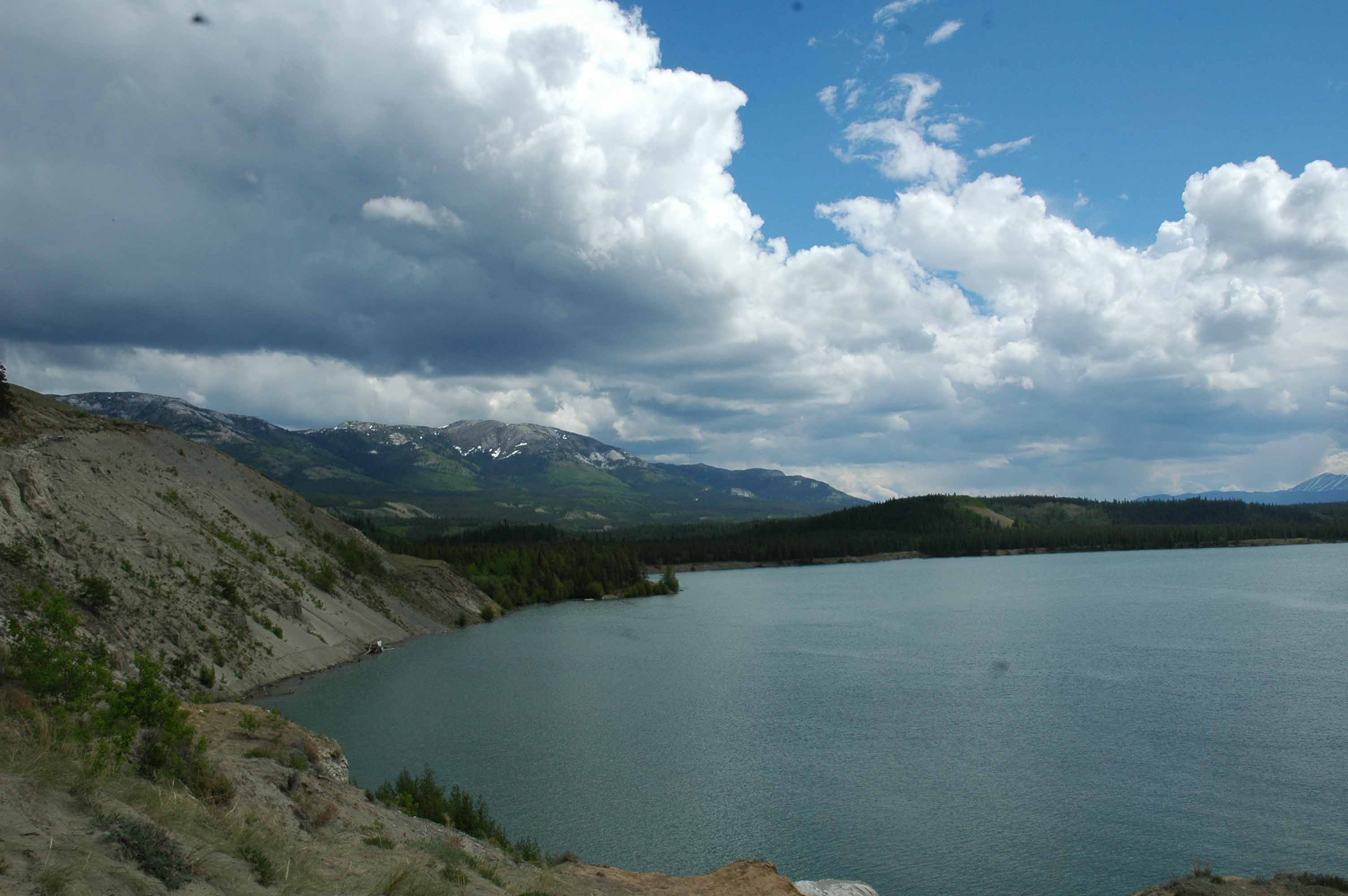
Munch Lake – A must see!
Muncho Lake in the rain…
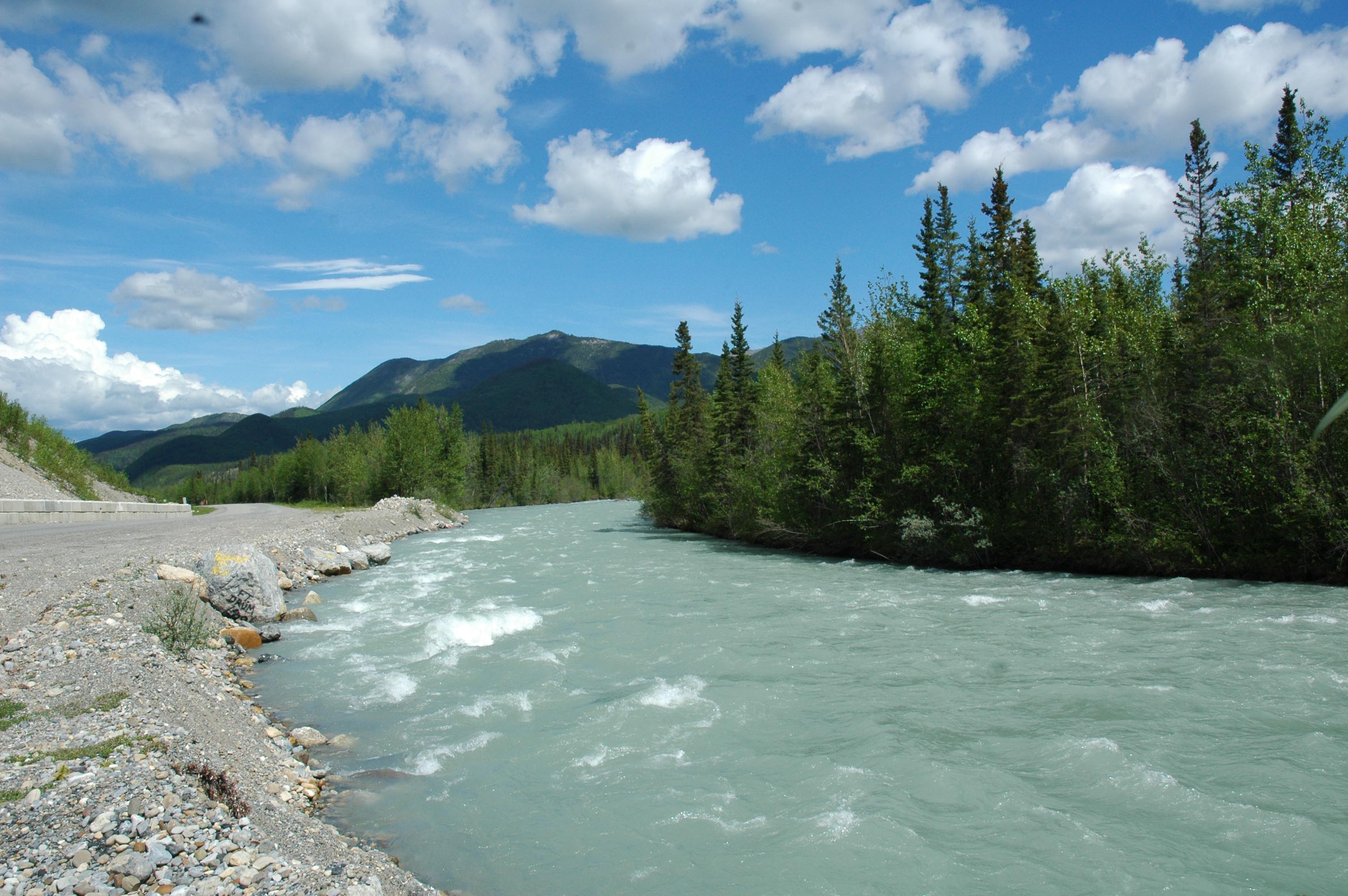
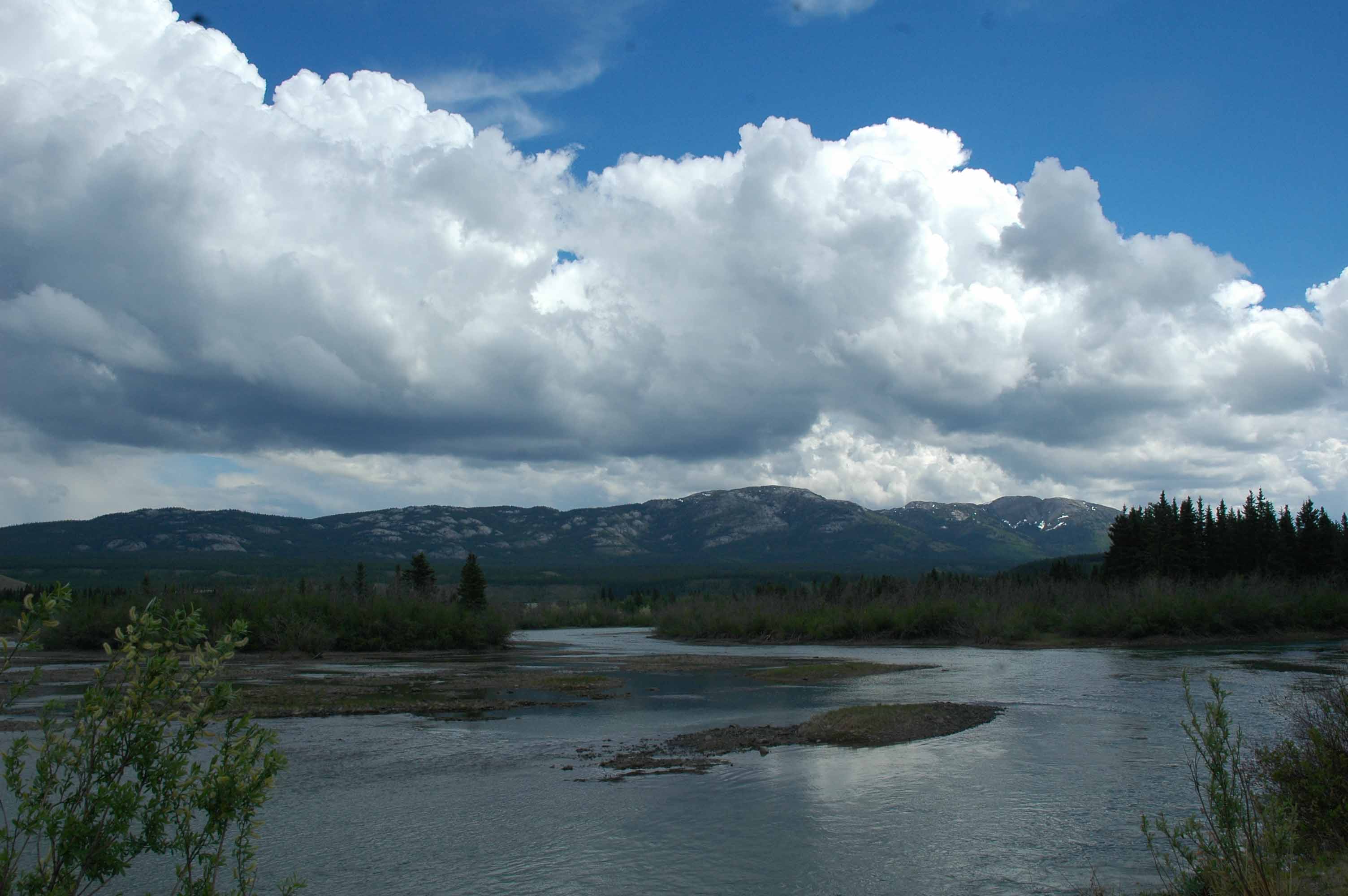
River view along the ALCAN
Looking West
Getting higher – lots of mountains to climb
“That” smokey View
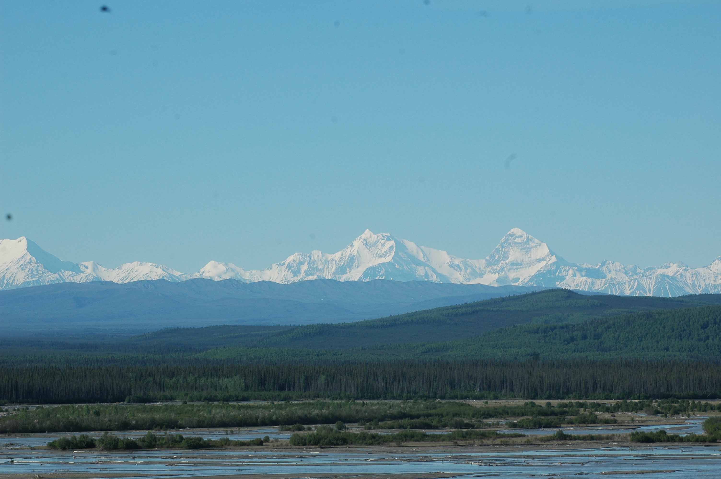
In Alaska – Tanana River
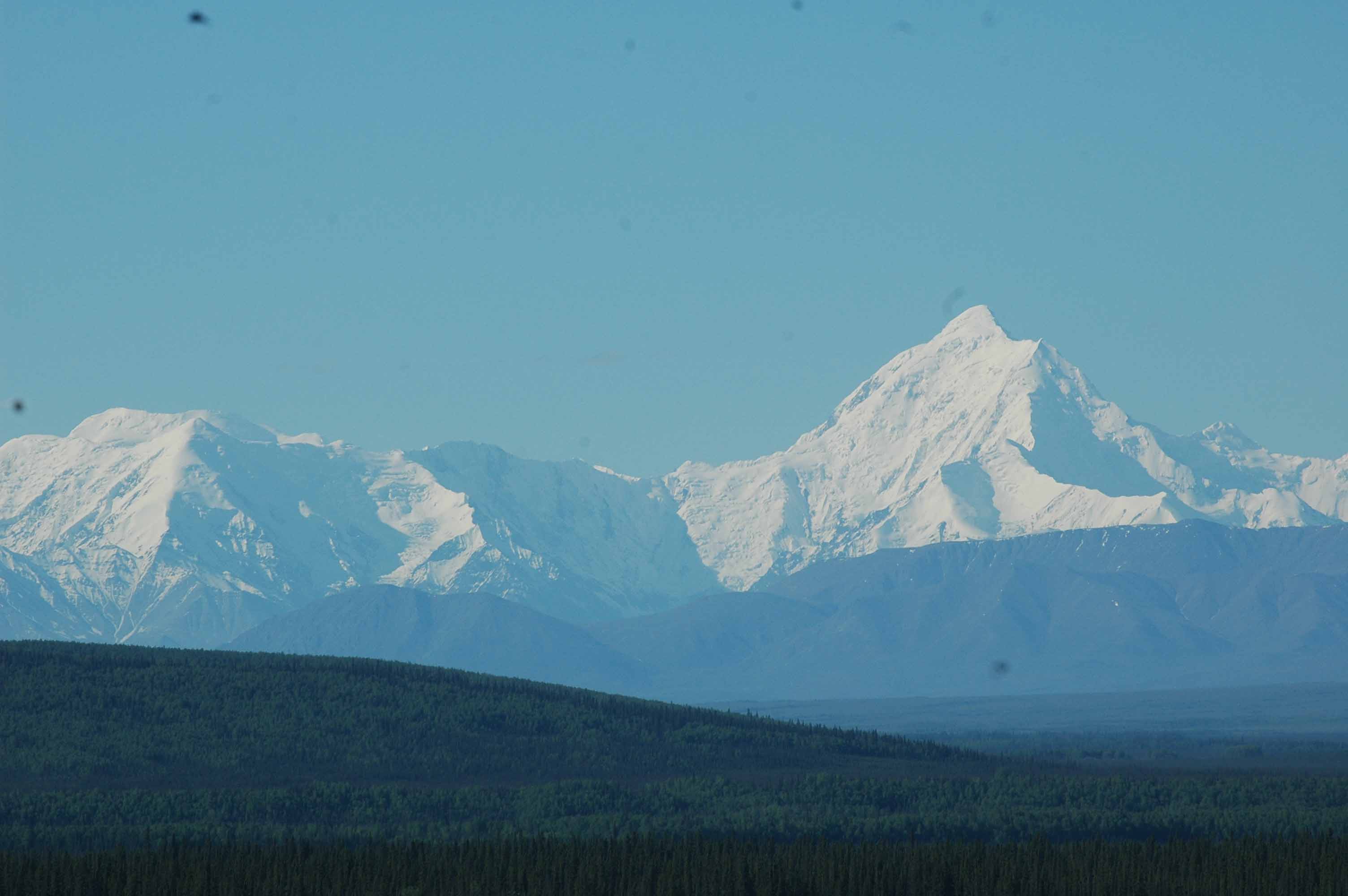
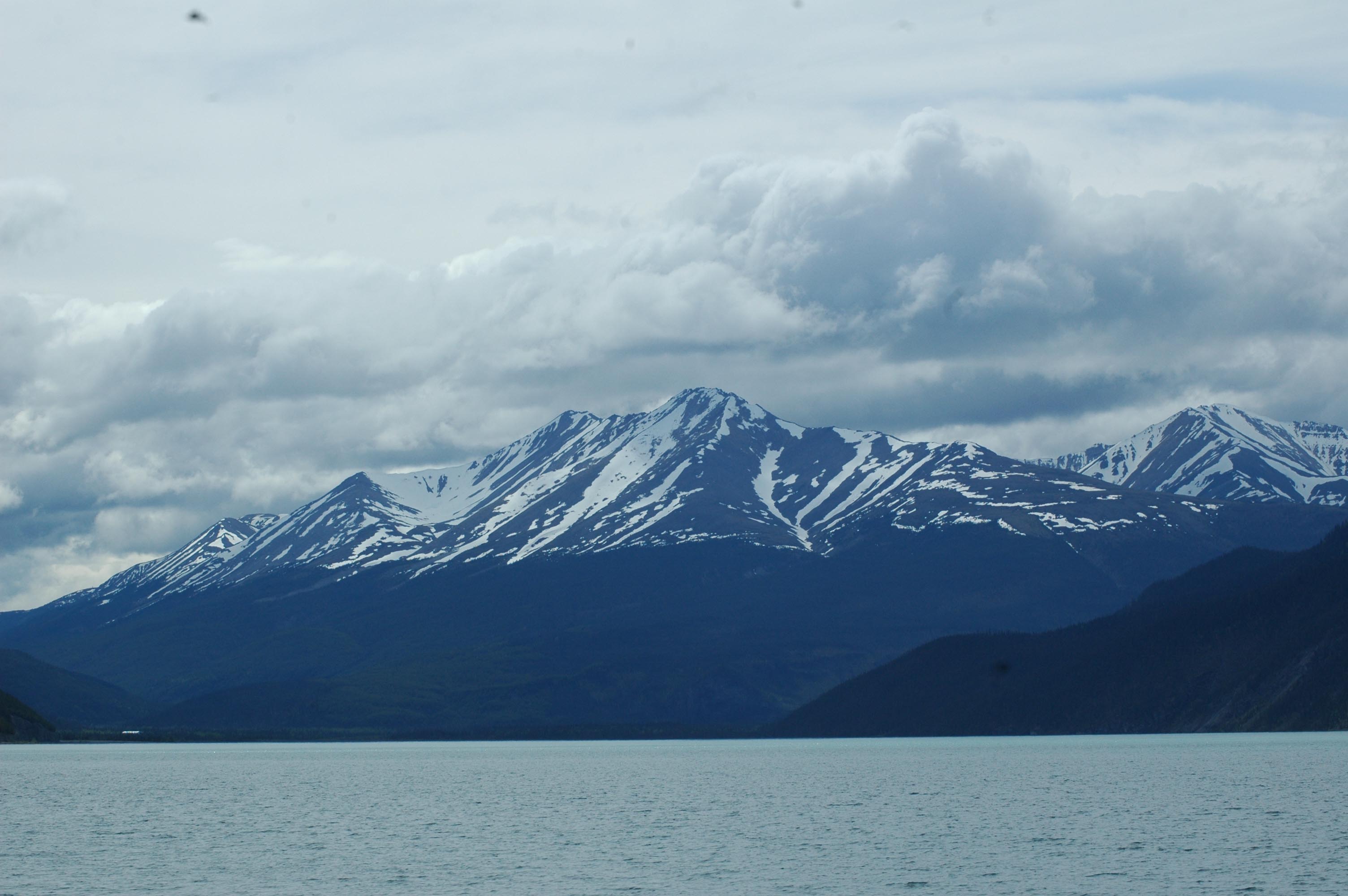
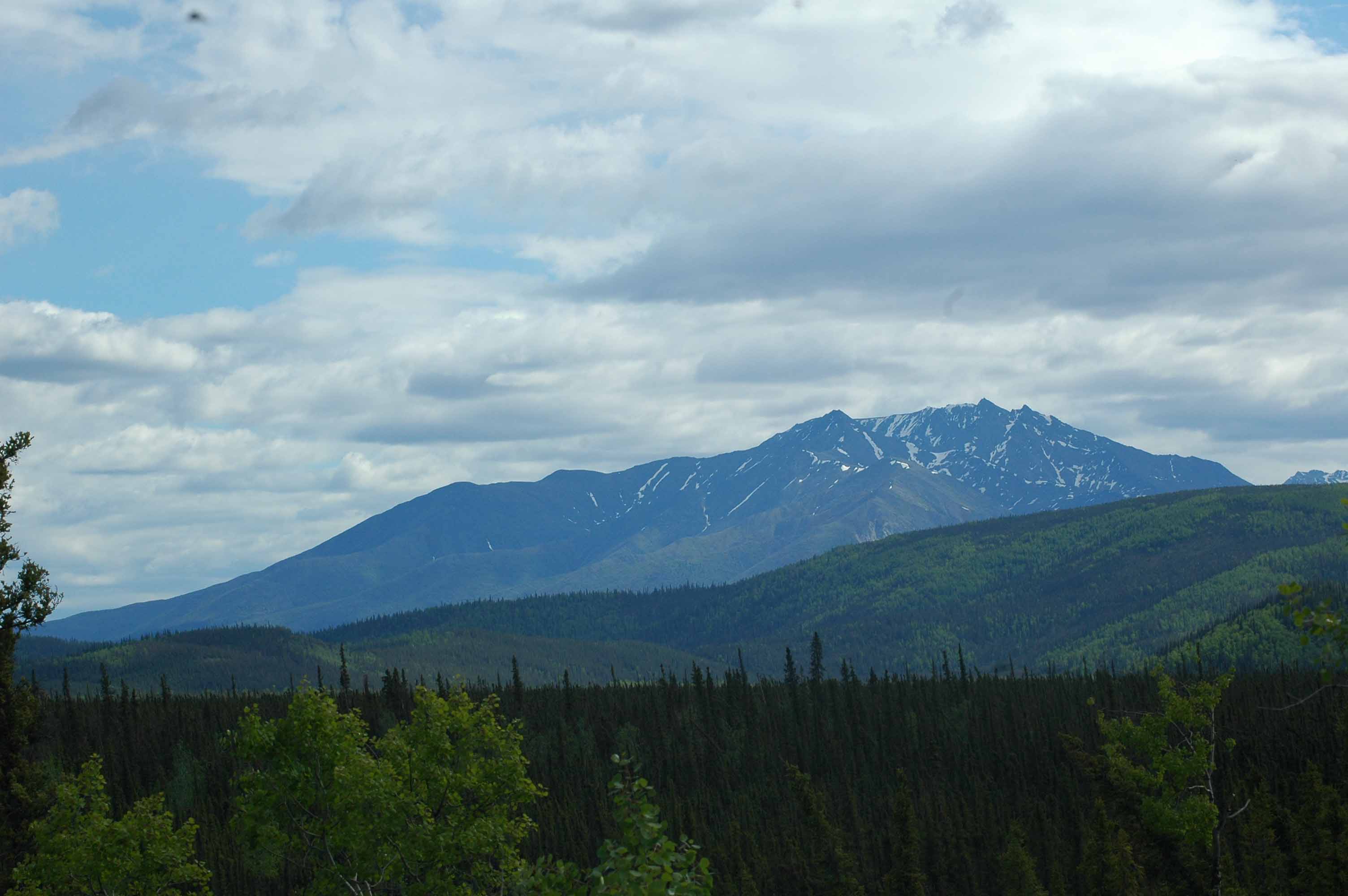
Alaska Mountains
Yukon River near Whitehorse
Yukon River above the Whitehorse Dam
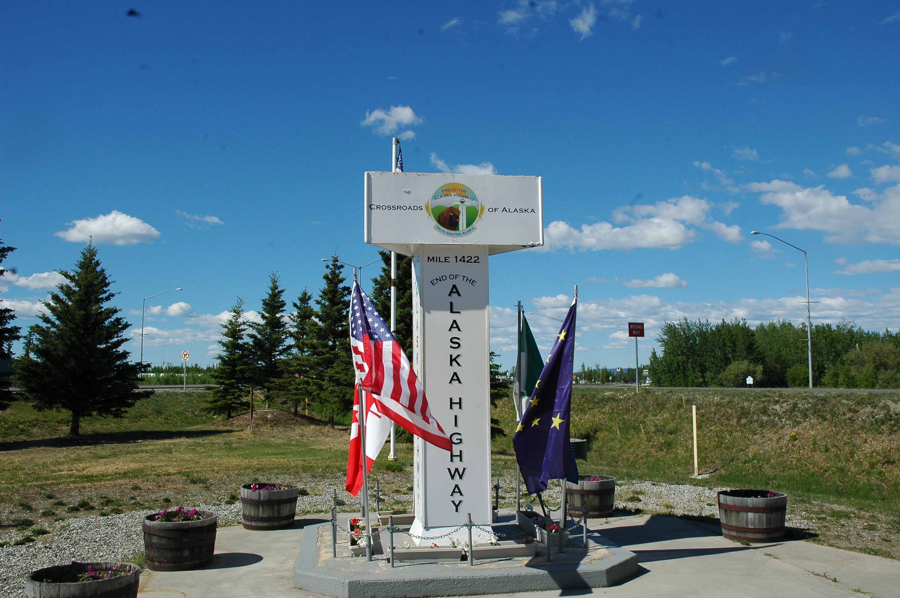
ALCAN highway Mile 1422 at Delta Junction, AK
What more can I say, it is all about the view. Here are some pictures selected from the several hundred that I took. There are so many pictures sorting them all out will have to wait until we get back in Michigan. Here is a little glimpse into life along the Alaskan Highway.
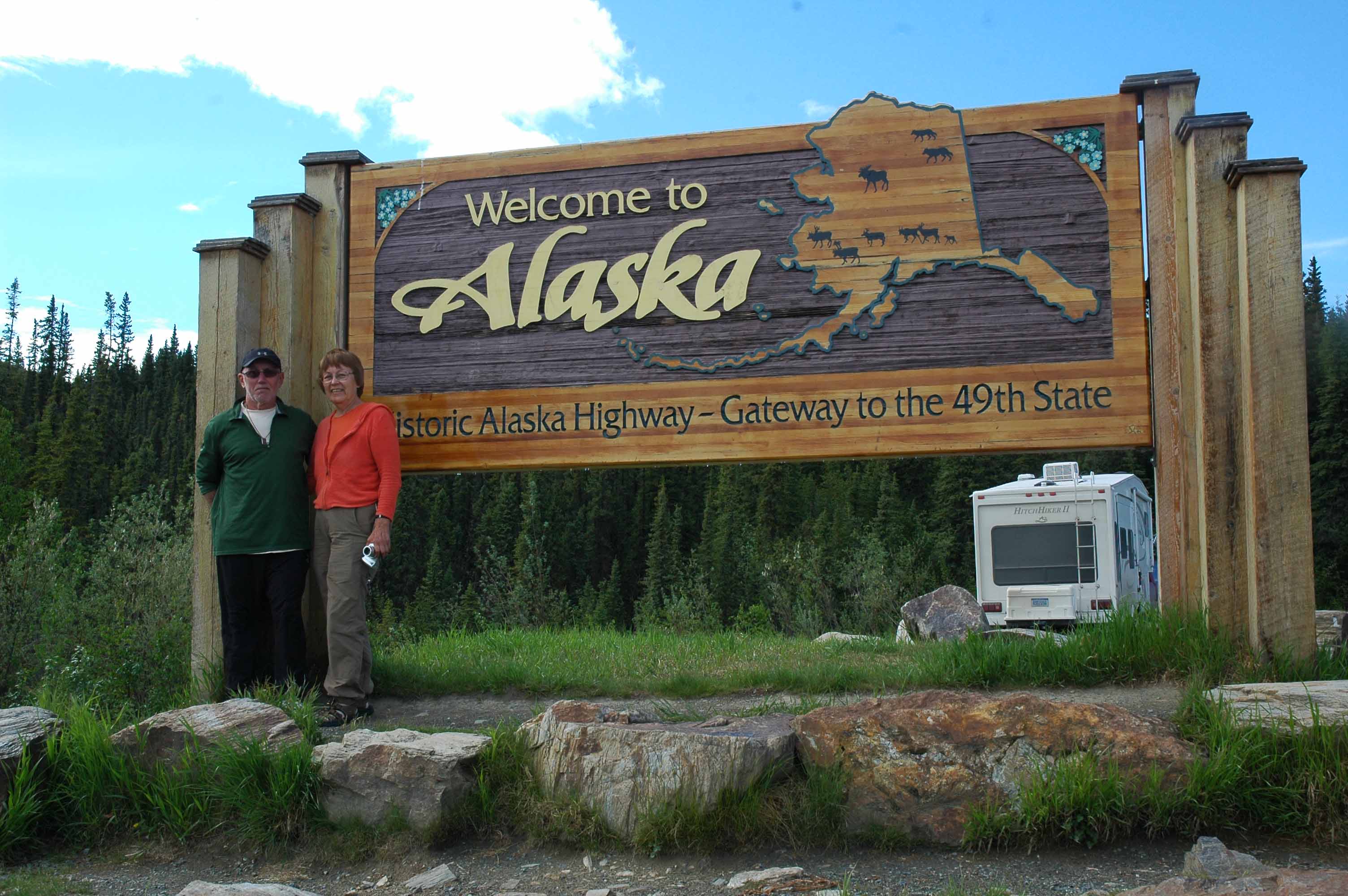
The goal is Alaska – We made it!
Here is proof positive that we made it to Alaska. The River’s Edge RV Park is working out great for us. The plan was to get the Alaskan Highway update posted before we left for Prudhoe Bay. However there just was not enough time. Stay tuned for an account of that adventure which will follow next.
God bless,
Larry and Jan