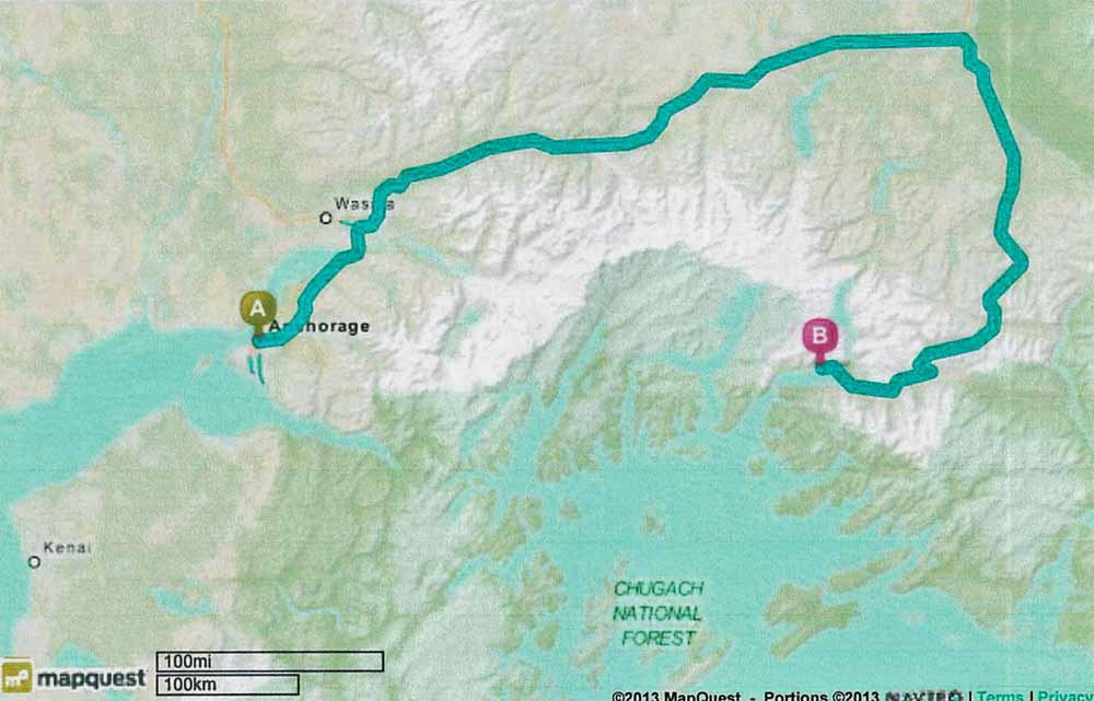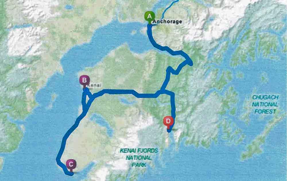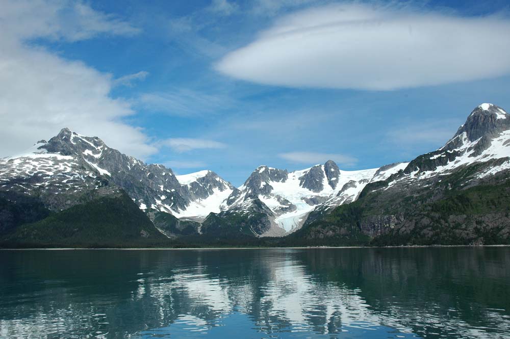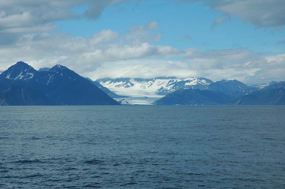
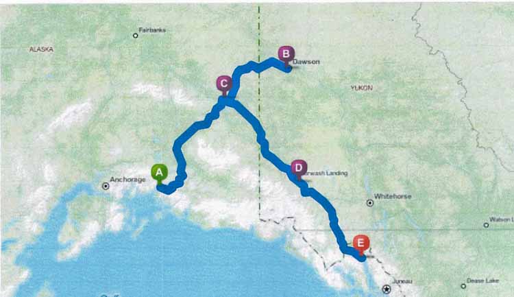
A=Valdez, AK; C=Tok, AK; B=Dawson City, YT; D=Kluane Lake, YT; E=Haines, AK
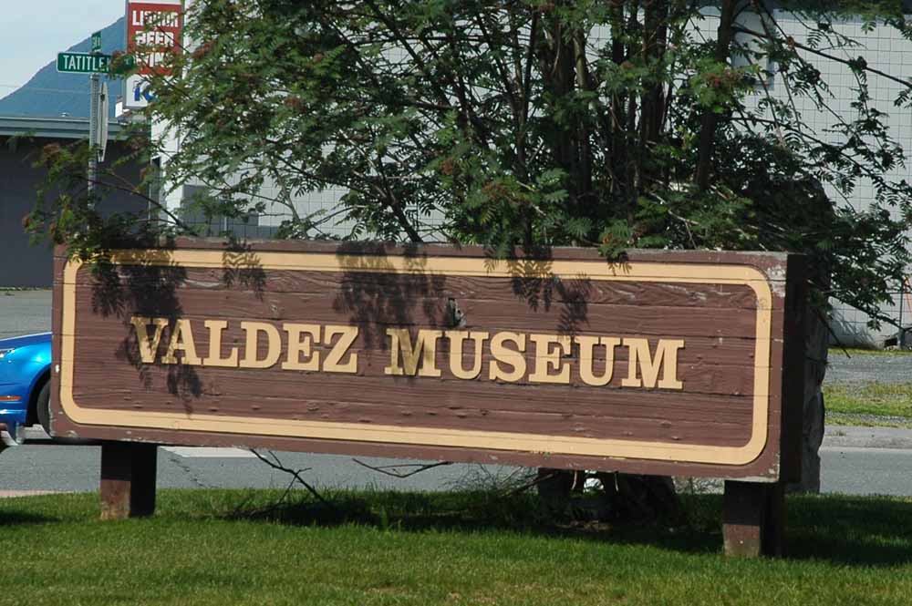
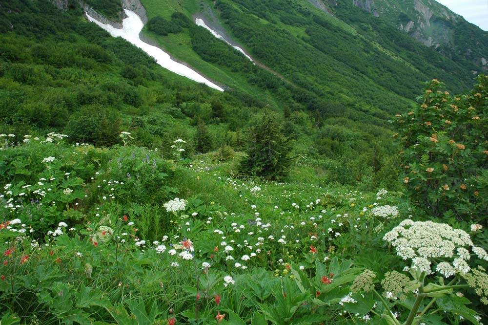
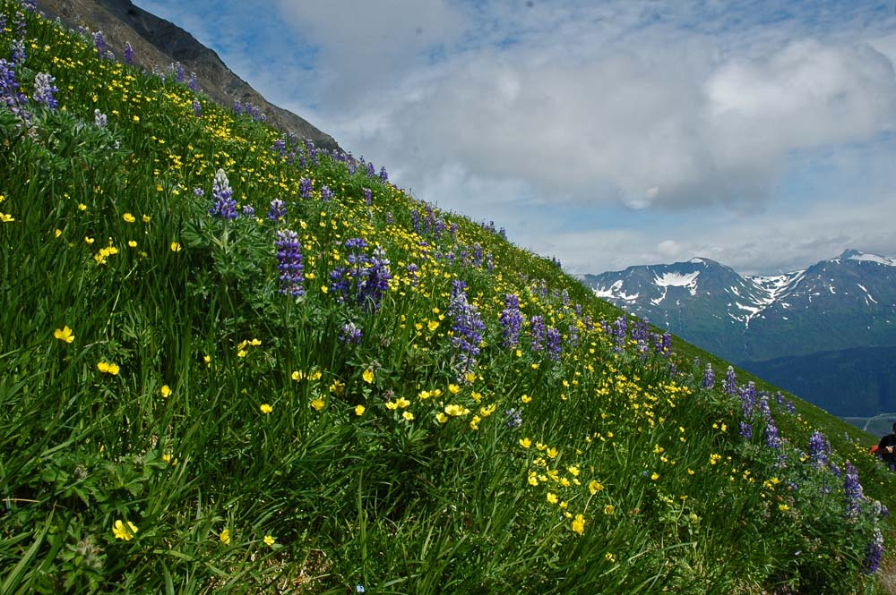
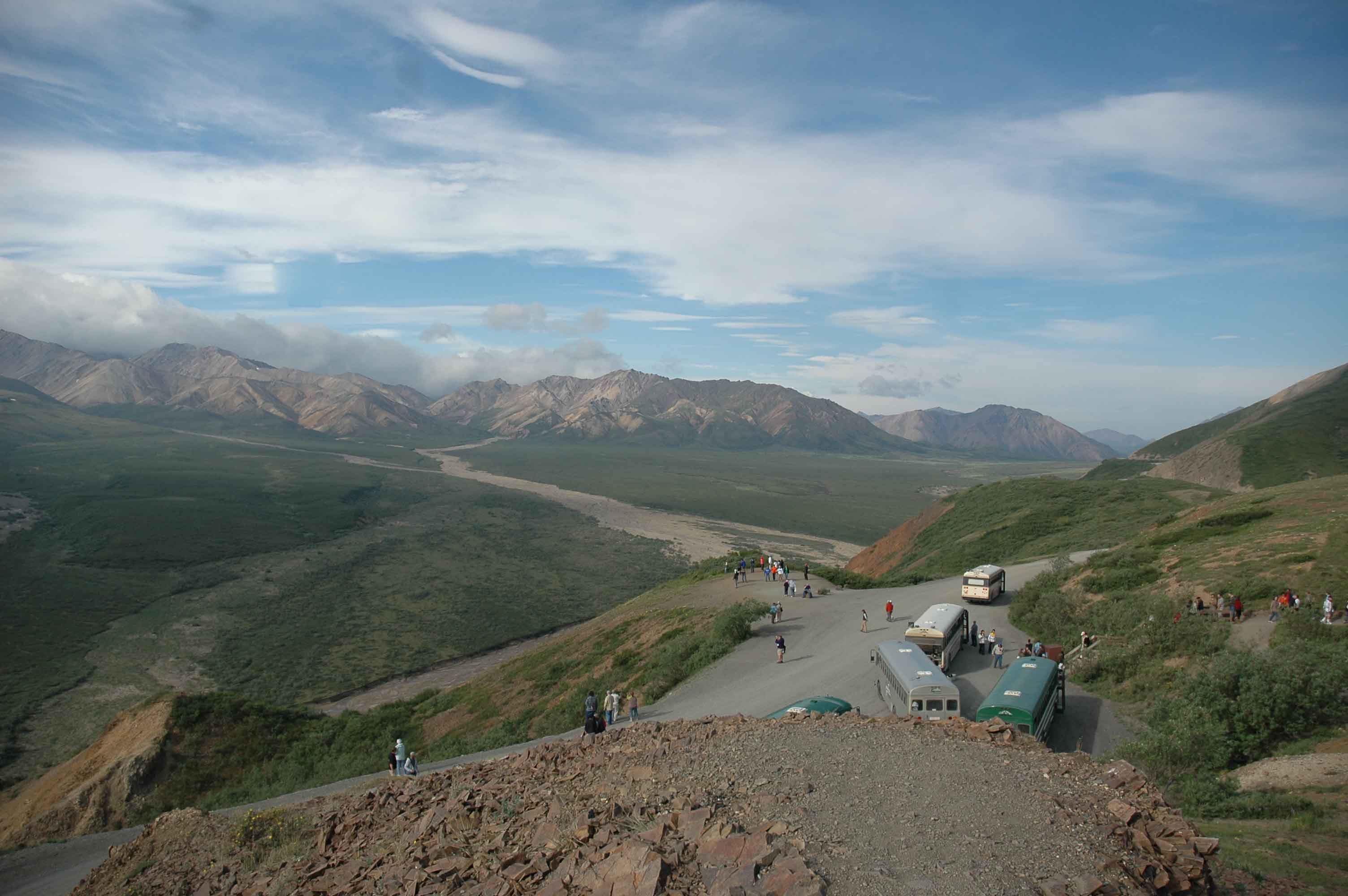
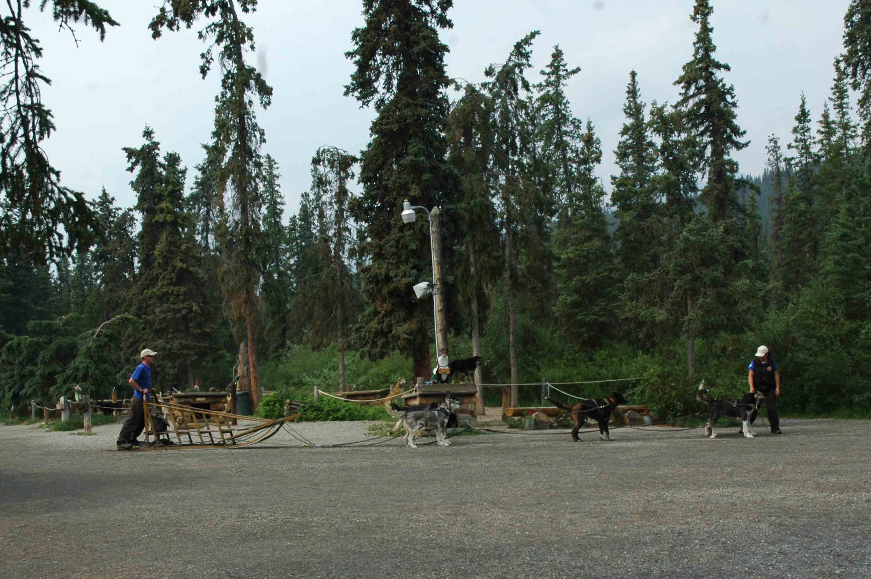
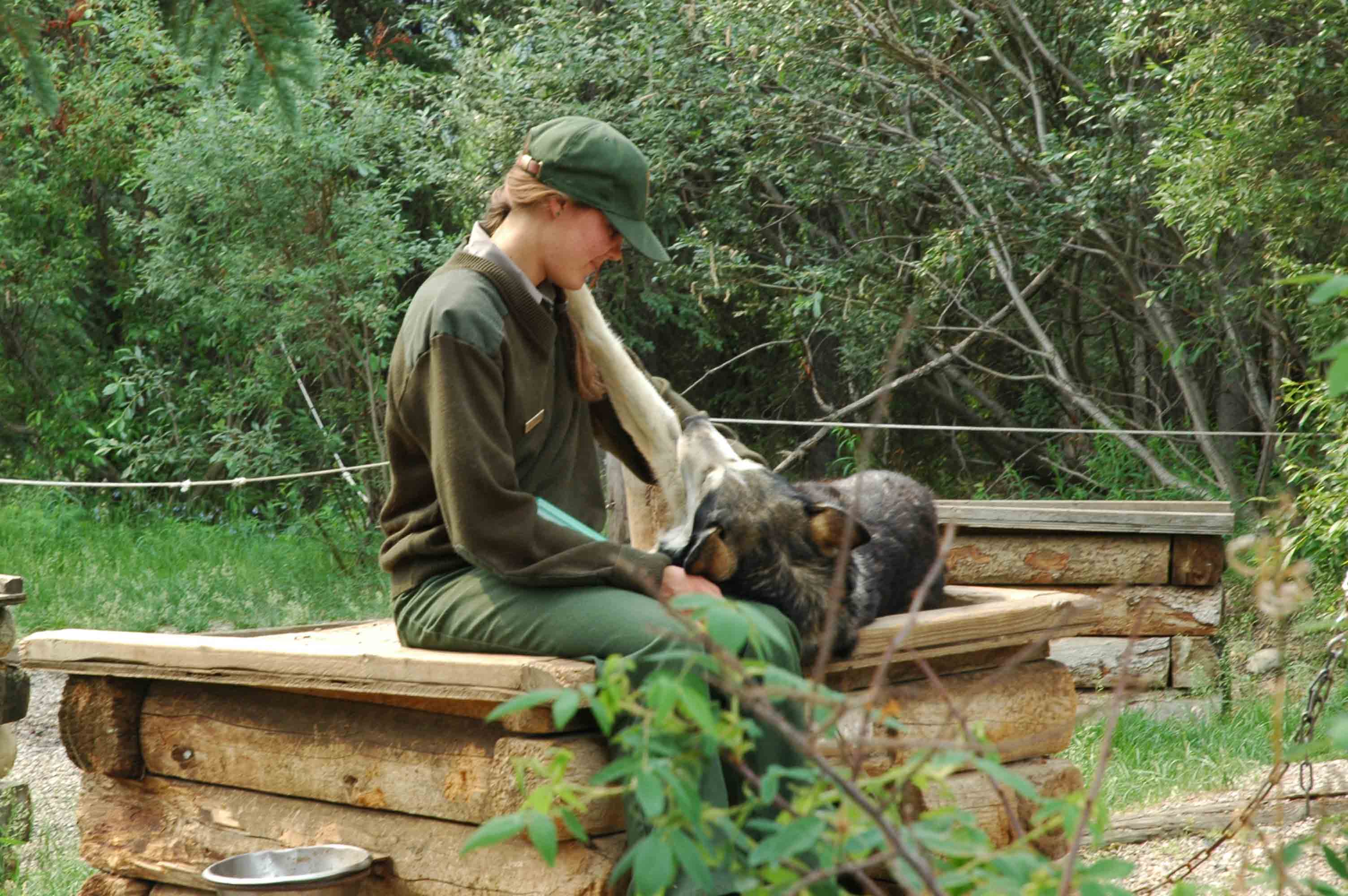
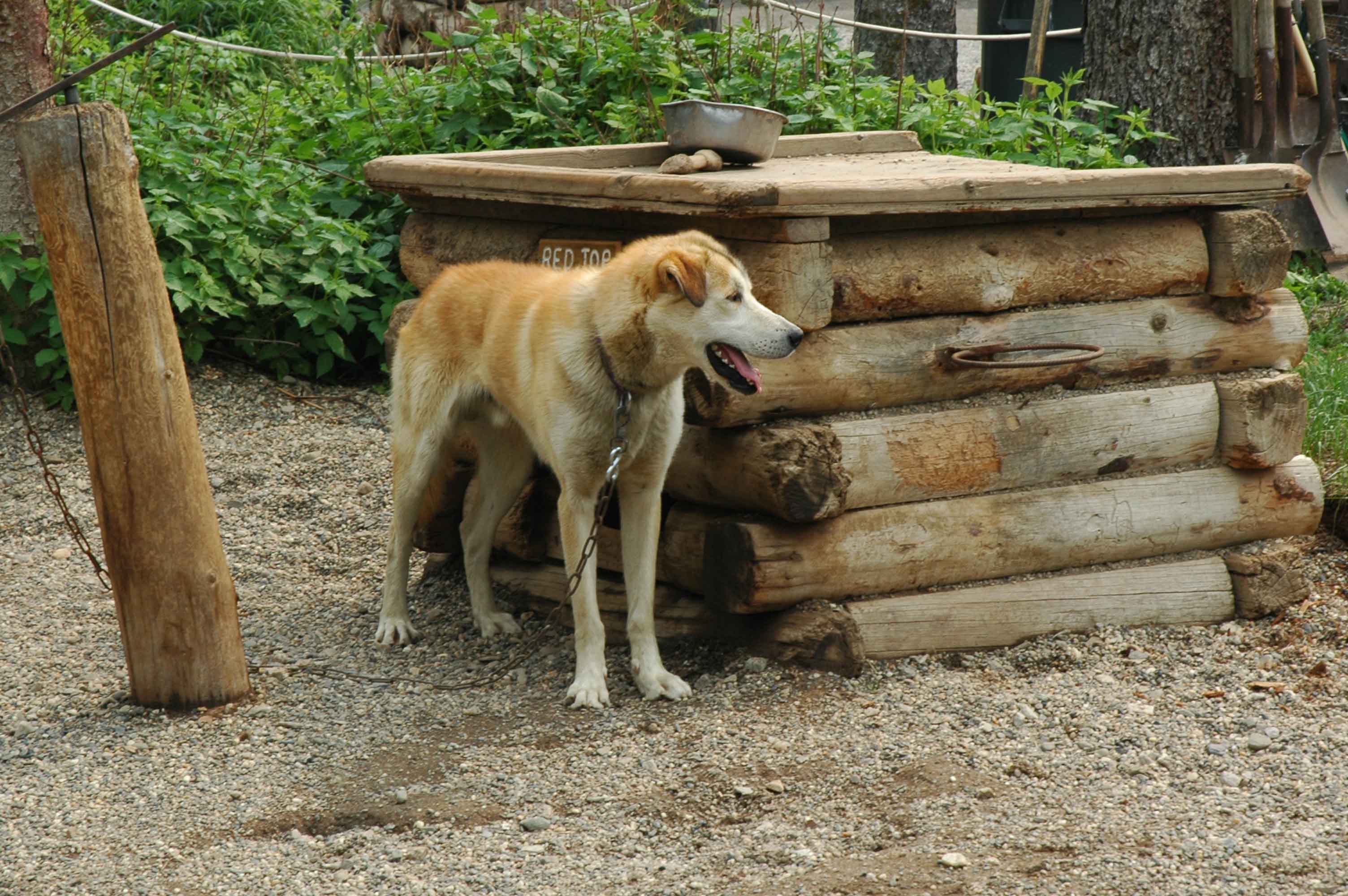
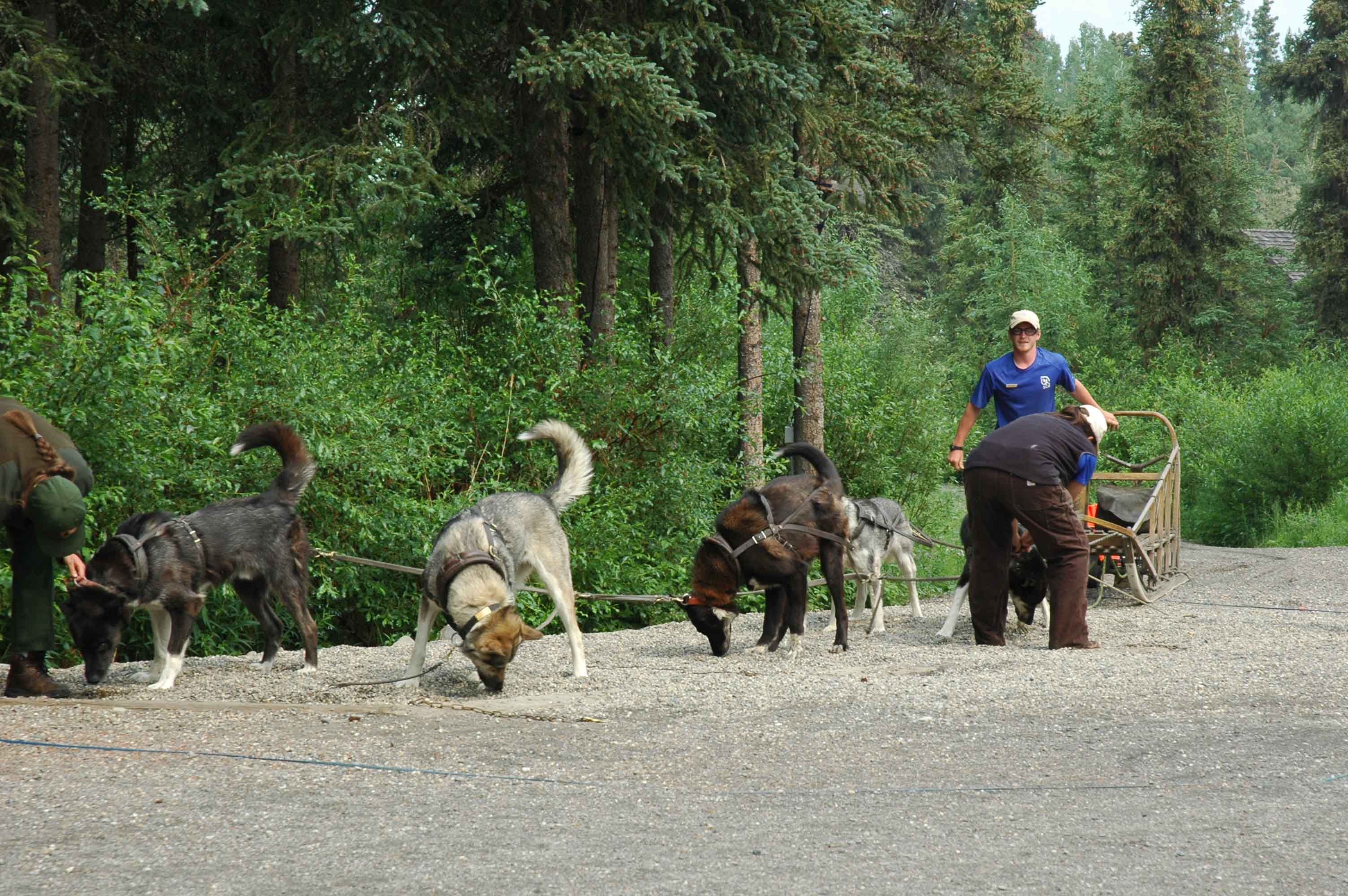
This section of the trip has taken us back inland. We truly enjoyed being along the coast for a bit. Following the route on the map you will see we started at Valdez then to Tok via the Richardson and Tok Cutoff Highways. Tok being the junction you come through both coming and leaving Alaska. After Tok we headed north on the Taylor Highway to Chicken. The RV got parked at the West Fork Campground (50 miles from Tok) while we made our way to Dawson City via the Top of the World Highway. After spending a couple of days in Dawson made our way back to Tok then East via the Alaskan Highway to Destruction Bay on Kluane Lake where we hung out for two days. This is a beautiful area. The final leg of the trip was to Haines Junction on the Alcan then South to Haines from Haines Junction. After Valdez there were four border crossings which are always different and sometimes can be interesting (…hopefully just entertaining). The weather and experiences were outstanding again. However the trip on the Alaska Highway in Yukon Territory was challenging. The frost heaves and pot holes were significant (much worse than in early June). We suffered some damage to the RV which made for a bad day on the road. However the Congdon Creek Park Territorial experience quickly put the Yukon back in our good graces!
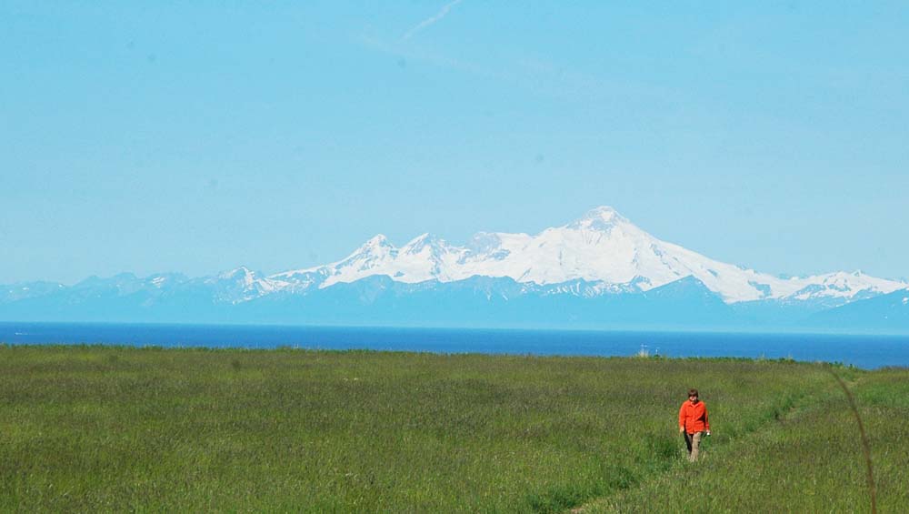
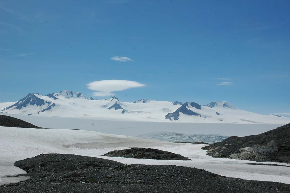
Mount Wrangell – Active Volcano
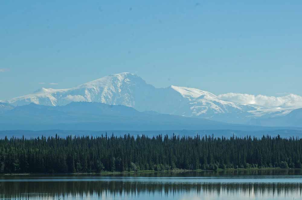
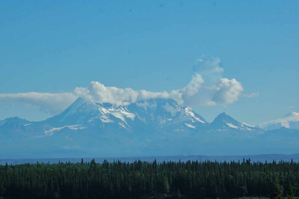
MT Drum – Wrangell Mountain Range
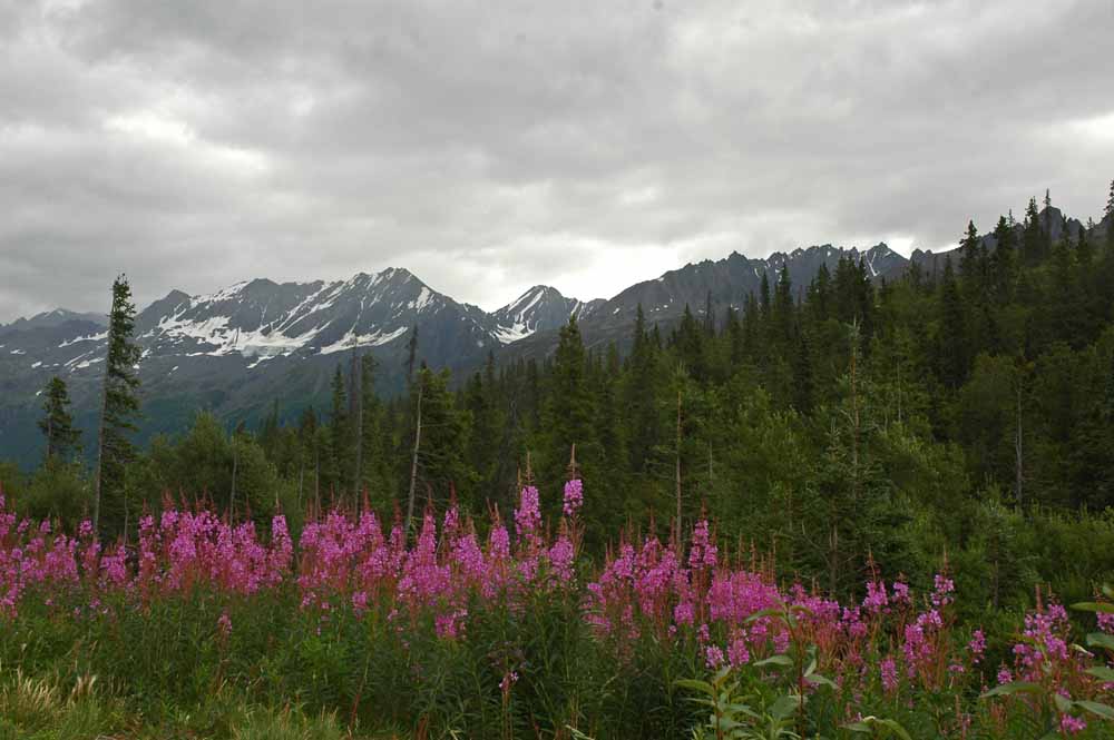
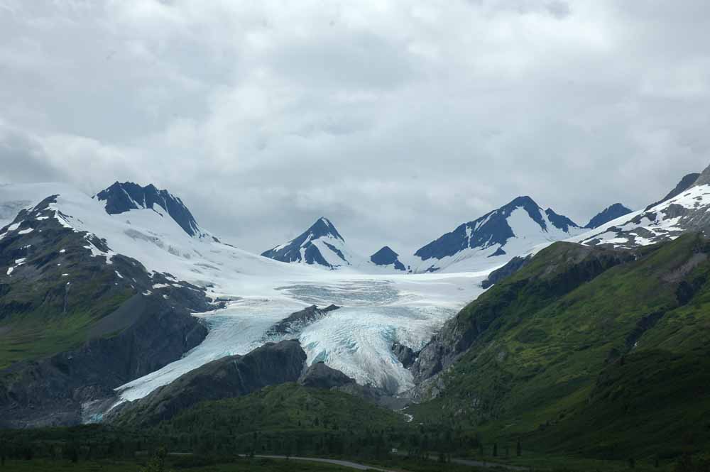
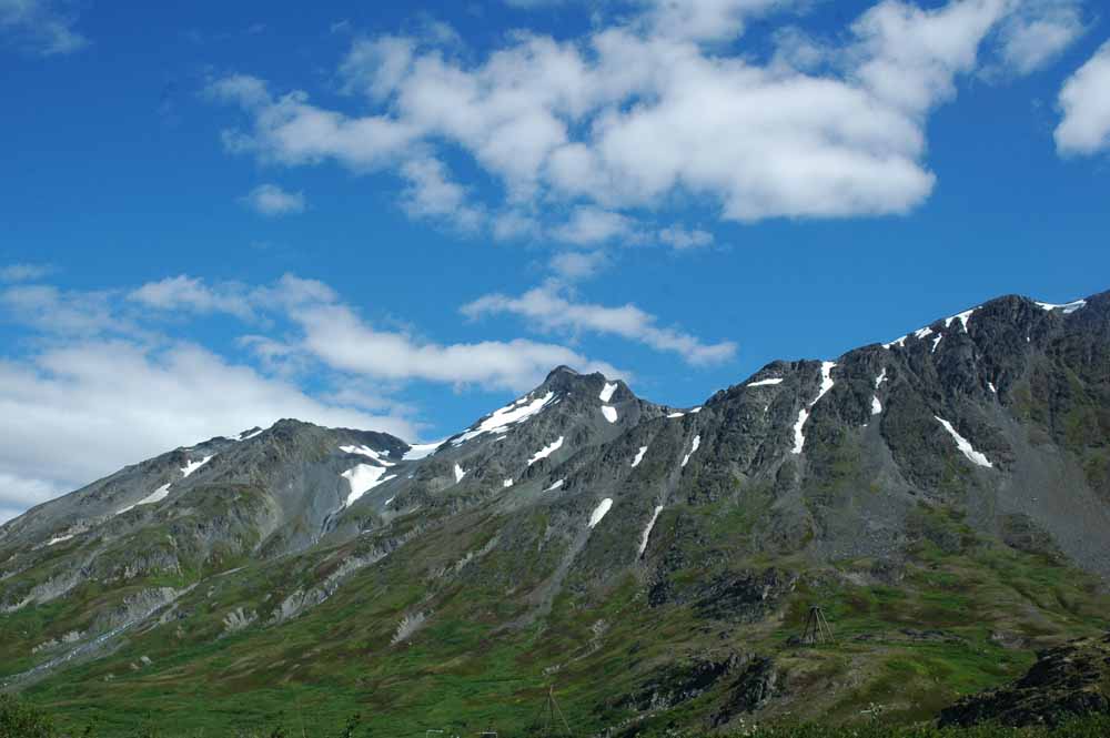
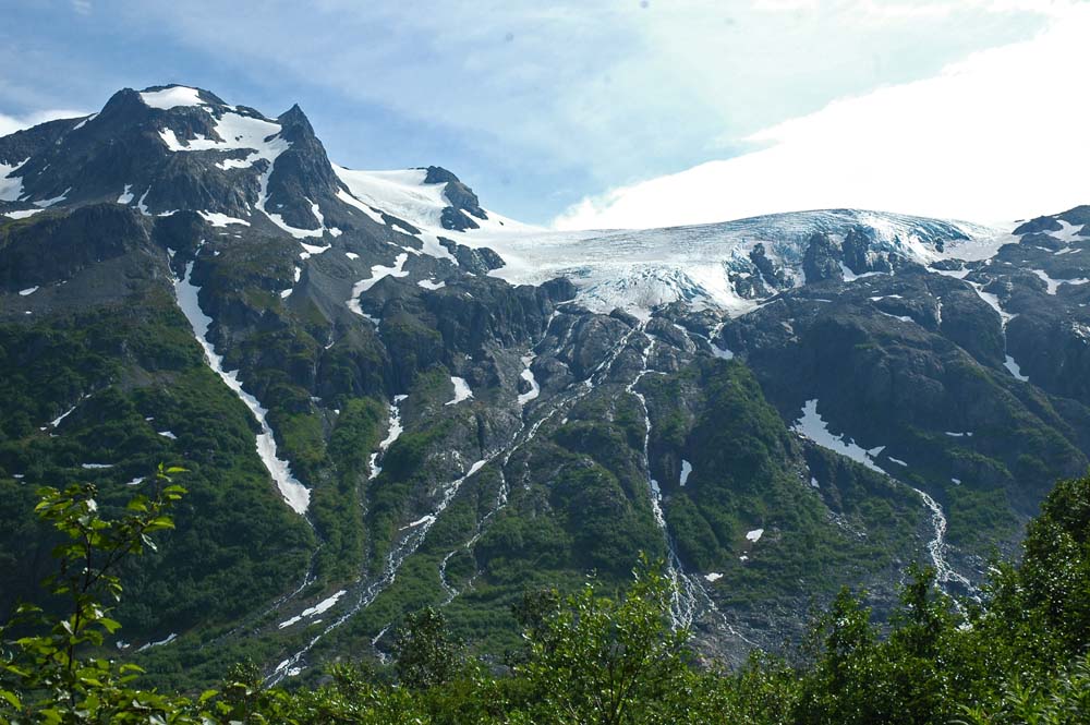
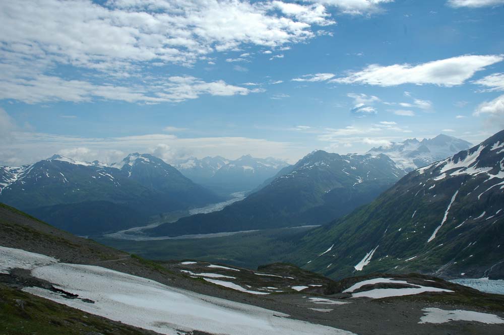
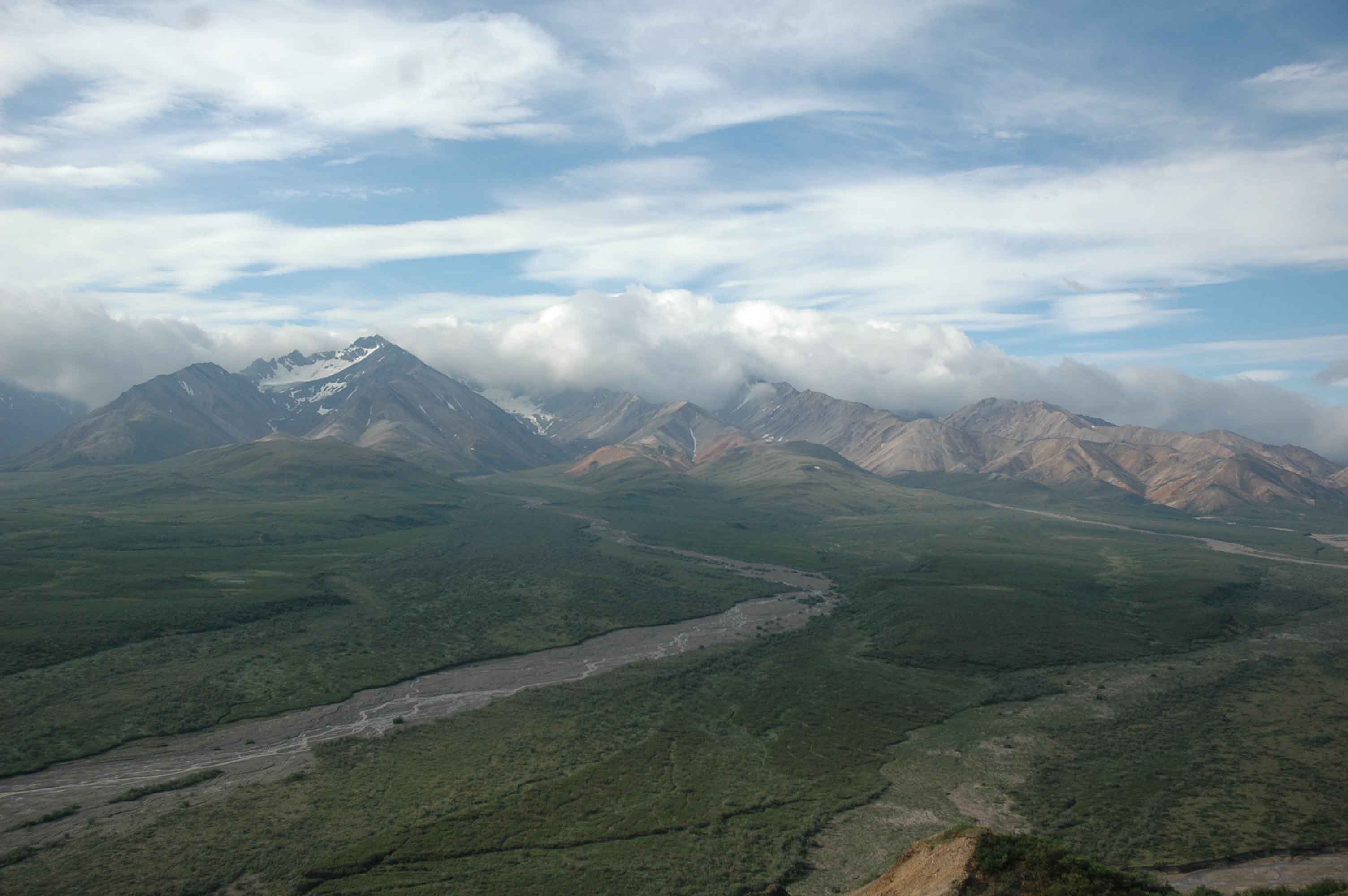
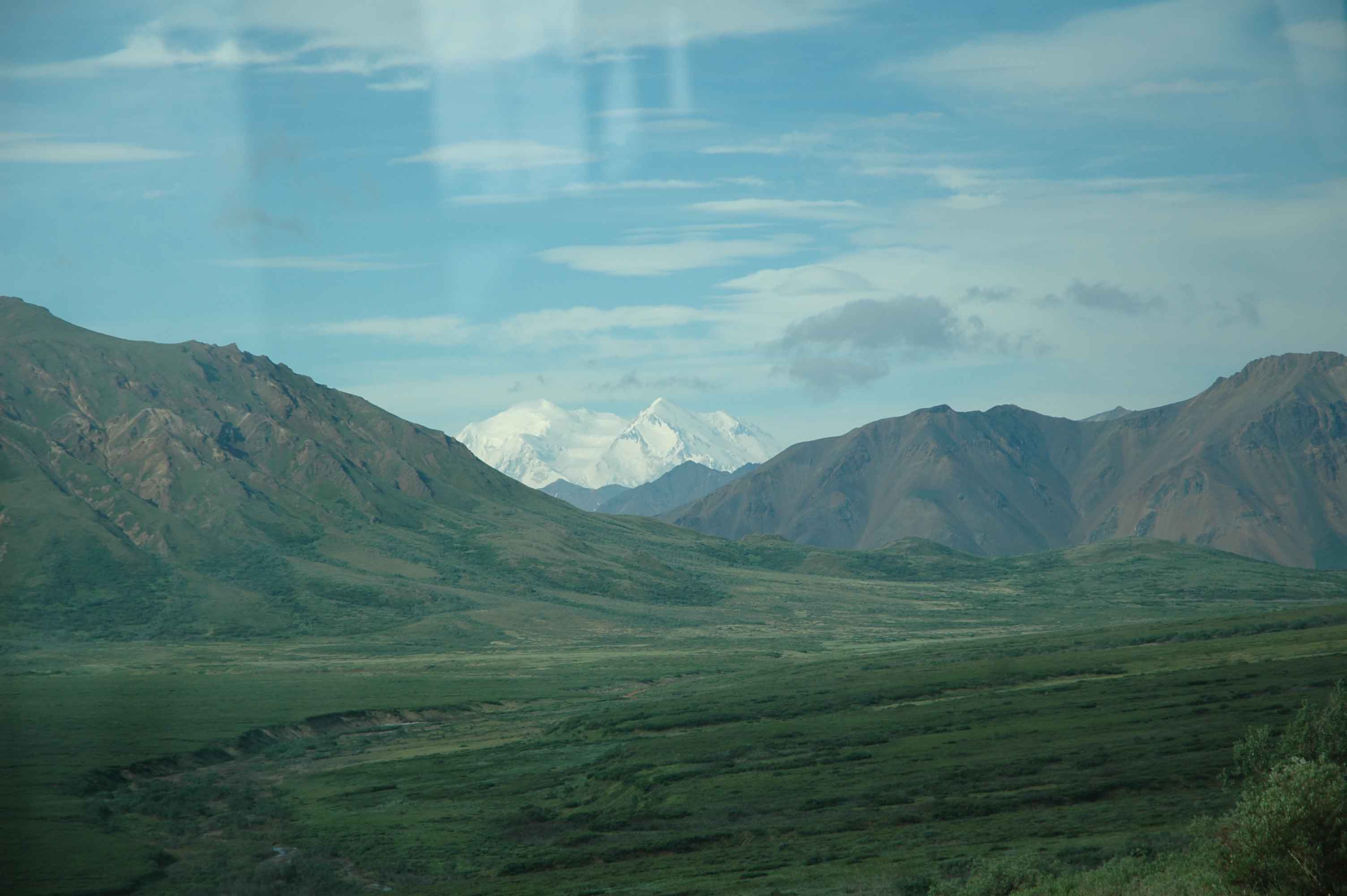
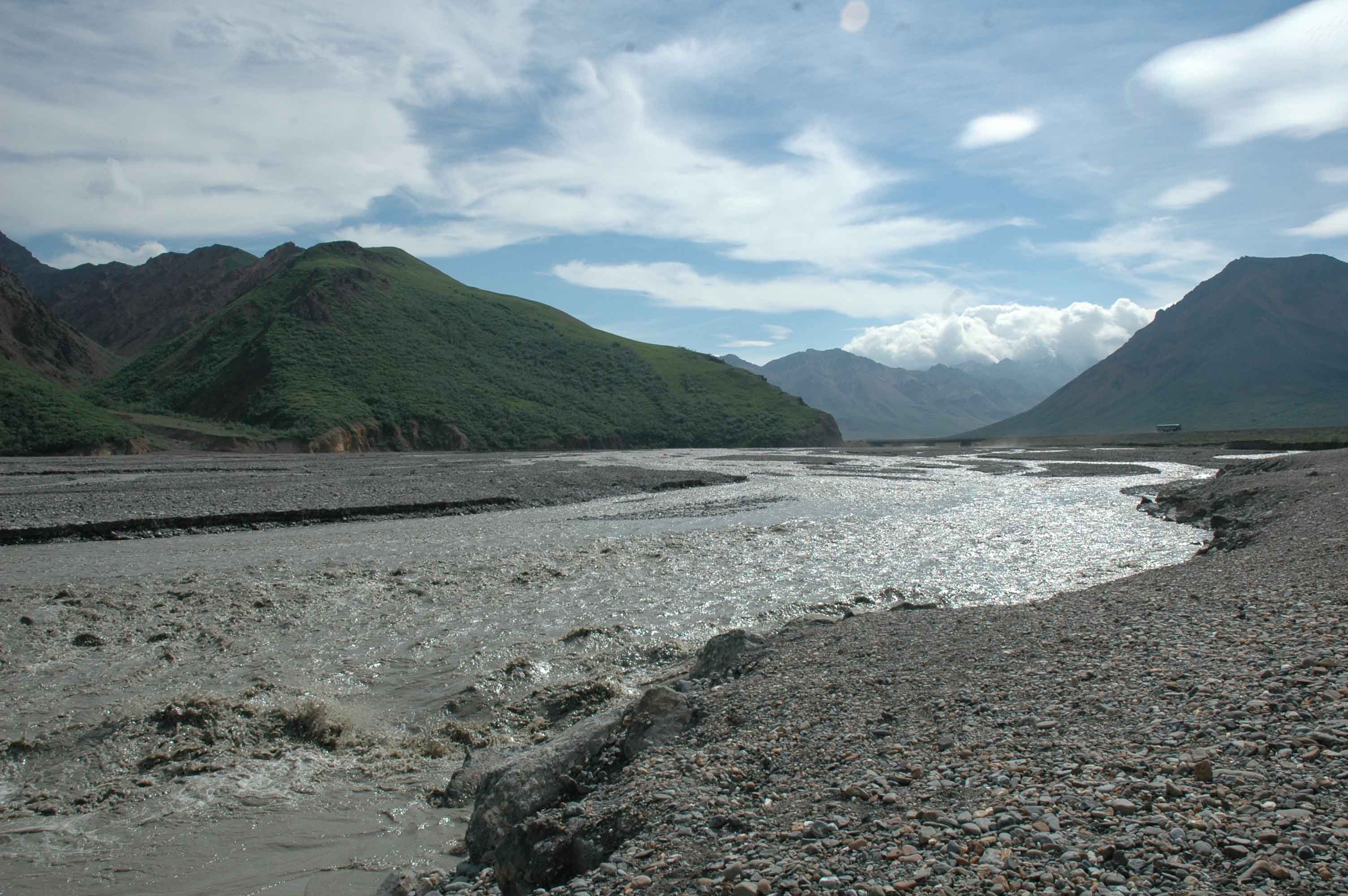
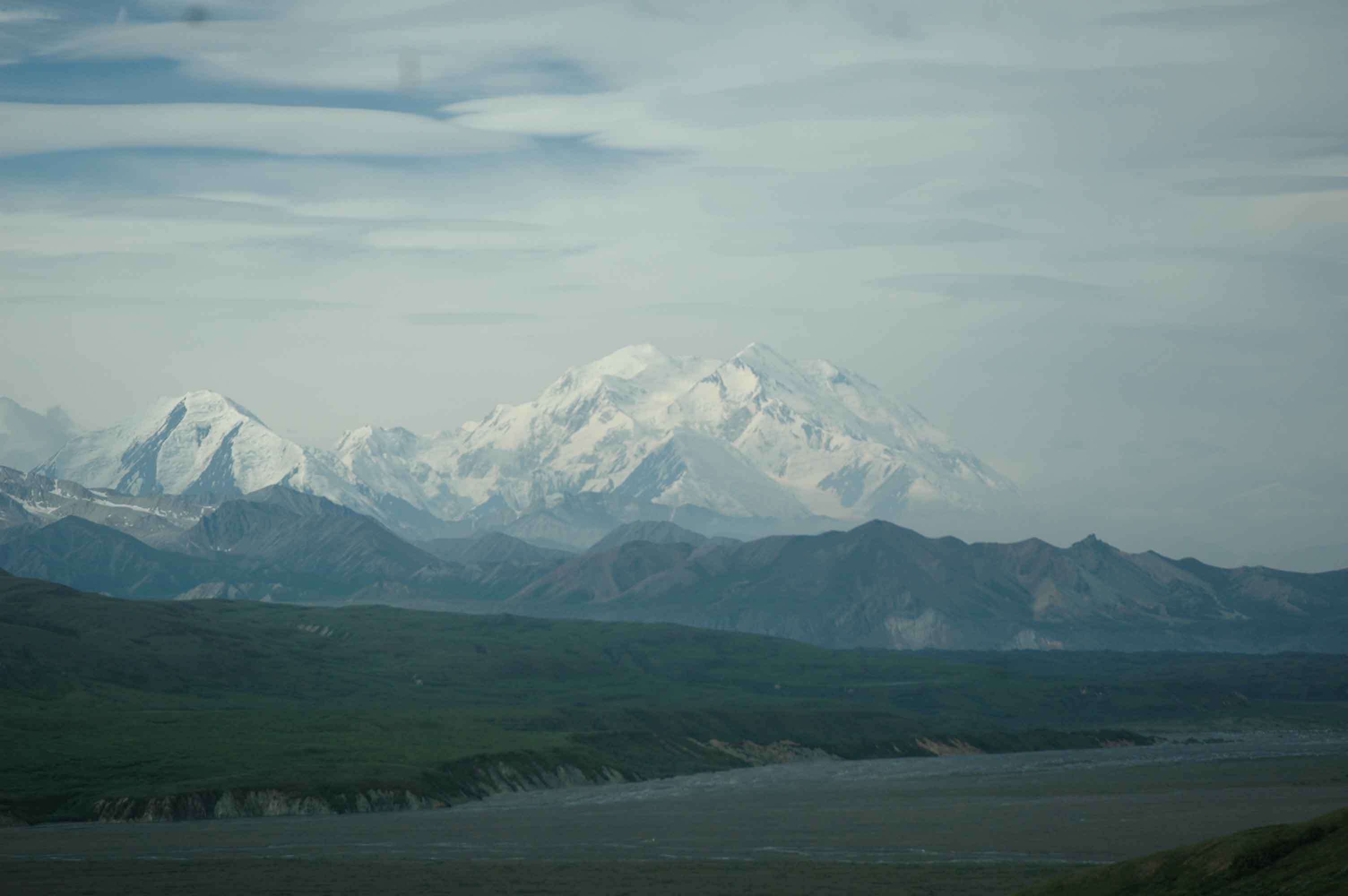
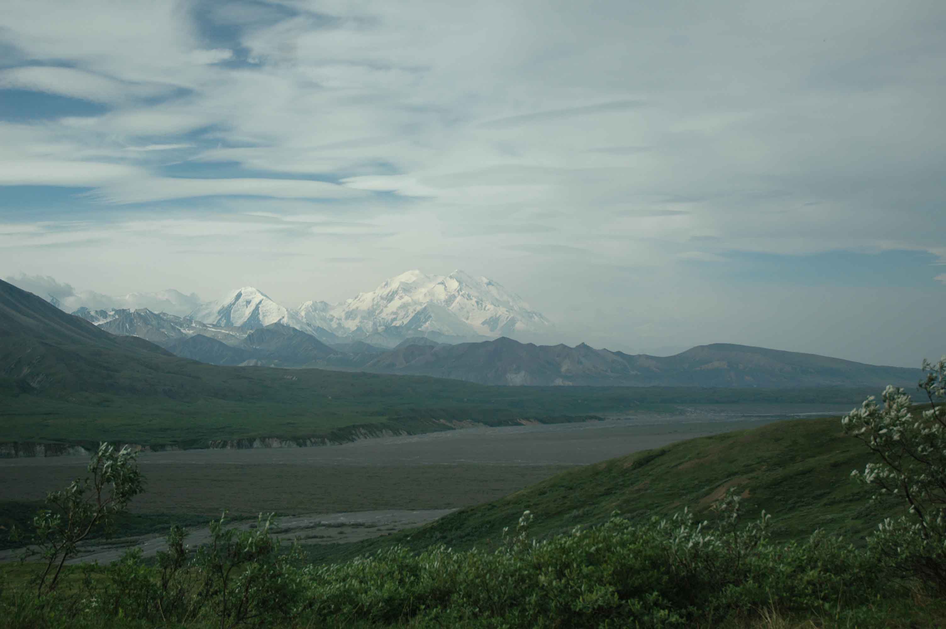
The time on the Richardson and the Tok Cutoff Highway was outstanding. After learning about Kennicott Mines and Wrangell Mountain Park wished we had planned time for a visit. The Wrangell Mountain Volcano and Mt. Drum were spectacular from a distance.
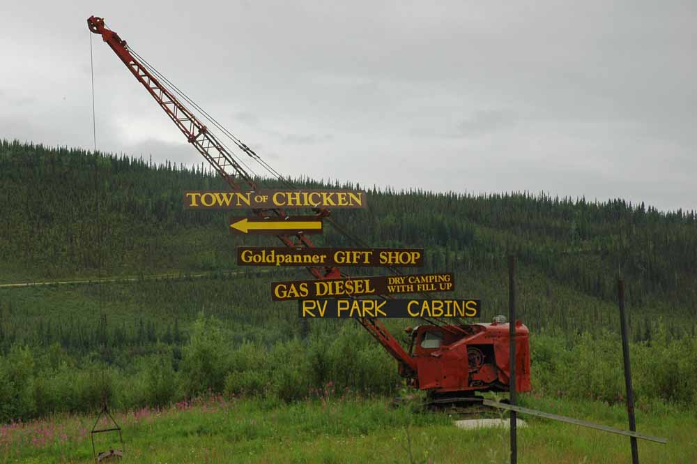
Chicken Welcome Sign…Old Dredging Crane
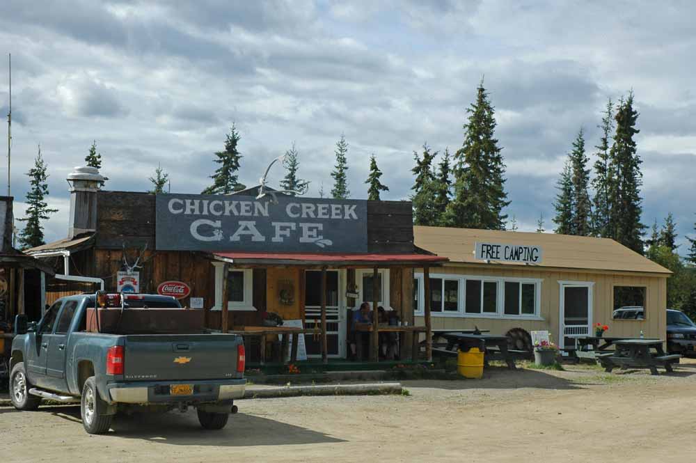
Downtown Chicken
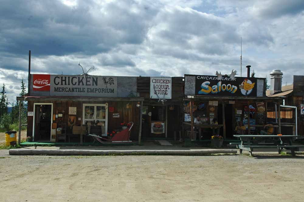
Downtown Chicken
Chicken was a fun, hokey and interesting stop over. The assessment was glad we did not stay there. The West Fork BLM campground was big rig friendly and close to the river.
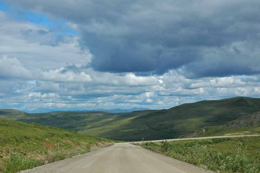
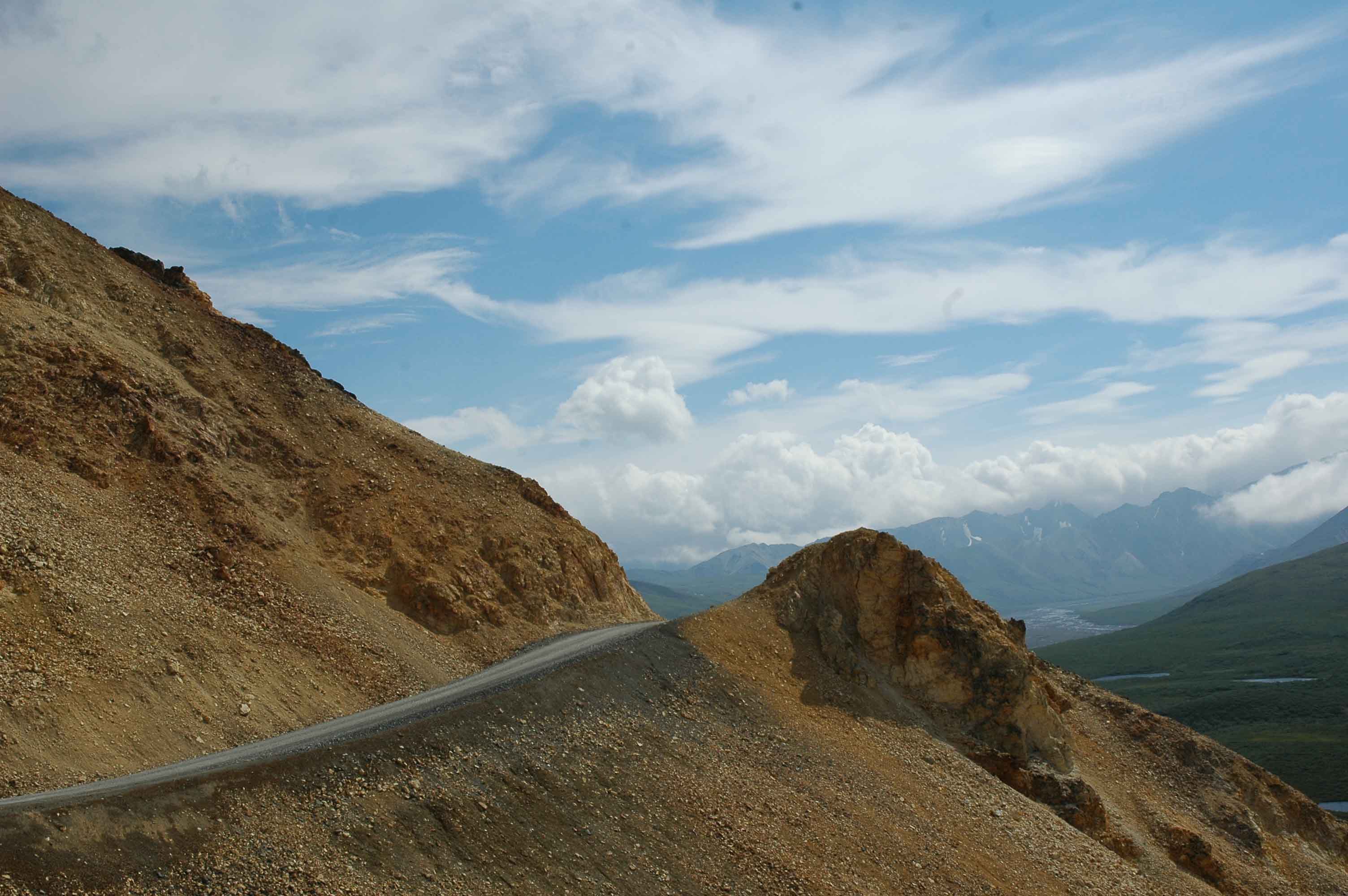
Top of the World Highway
Top of the World
Top of the World…Seems to go Forever!
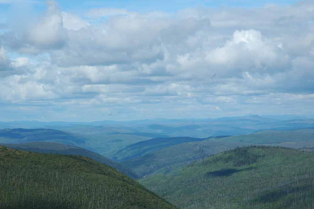
Top of the World View – Continued…
Yes, It Rained Going over the Top of the World!
The drive over the Top of World Highway was easier than expected (110 Miles from Chicken). We could have made it with the RV in tow. Going there was rain and fog. Coming back the views were much better with just a little haze. The Yukon portion of the highway was easy. The US section (about 40 miles) is very narrow and not as good shape. There are great views from the top along the entire stretch.
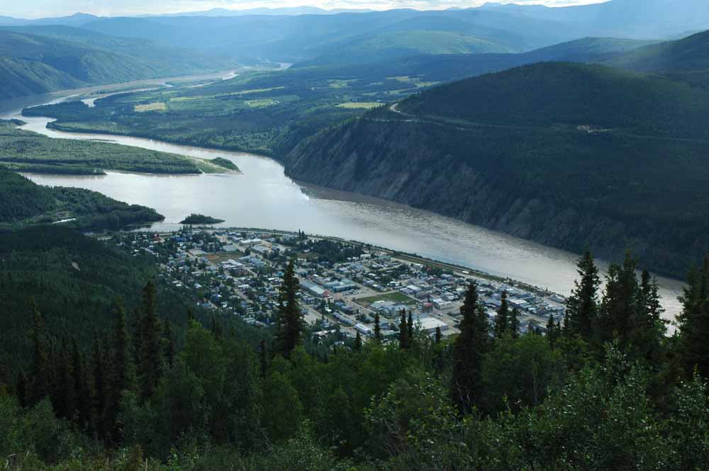
Dawson City Looking up the Yukon River Towards Whitehorse
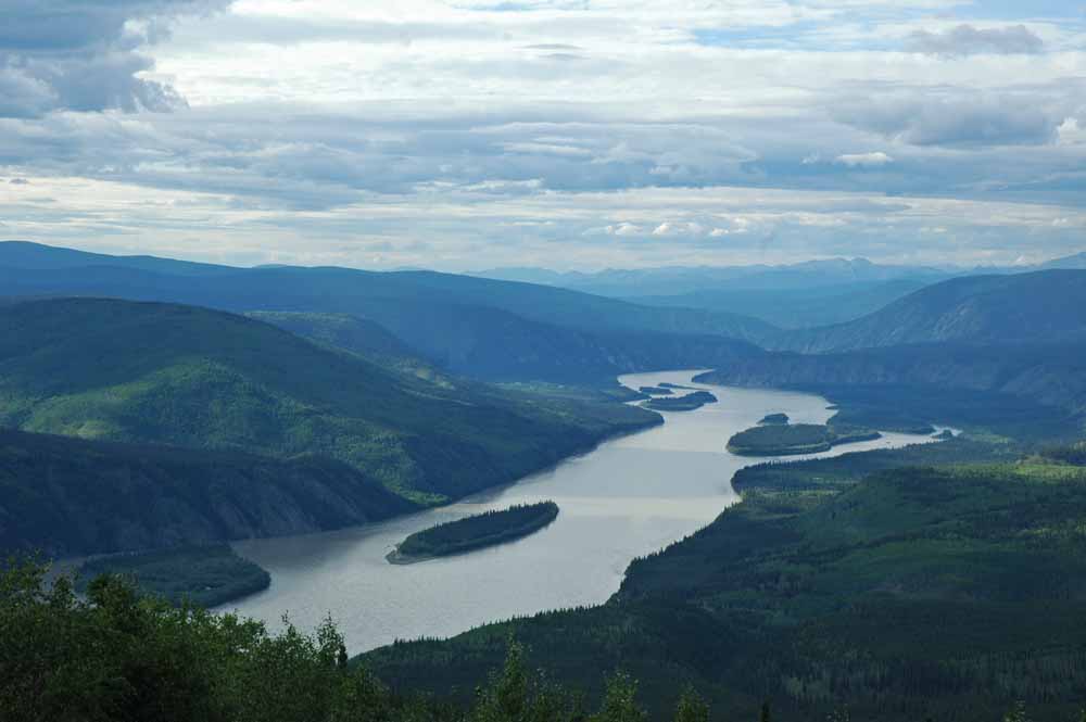
Photo Taken from the Dome Looking Down the Yukon Towards Forty Mile
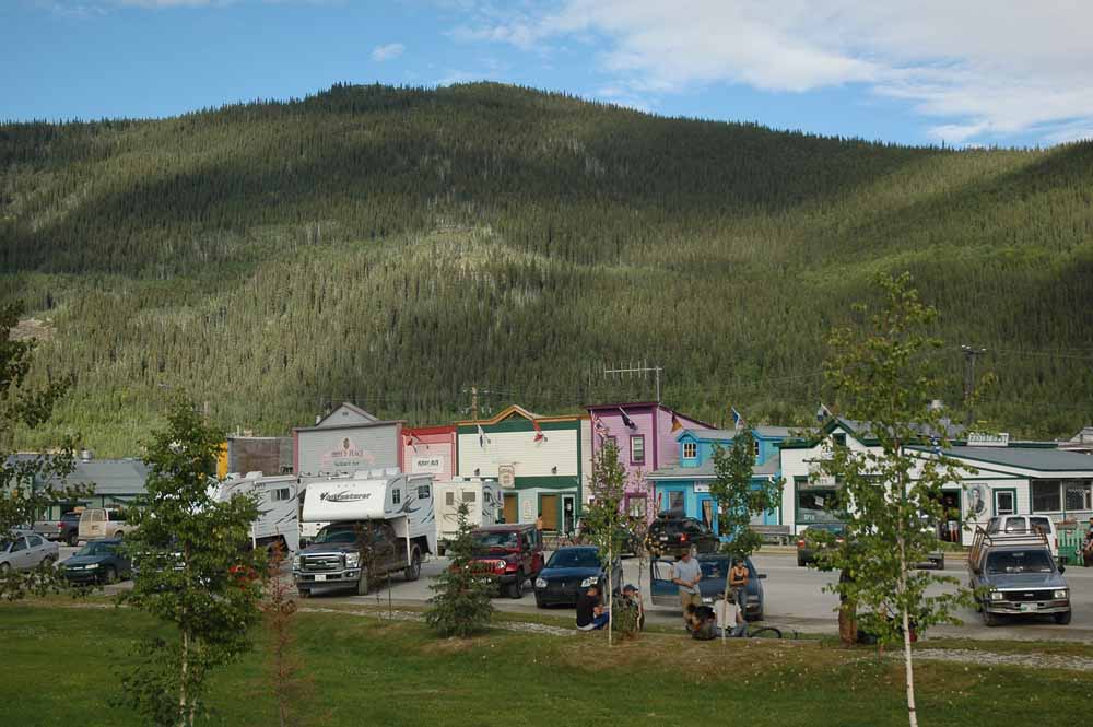
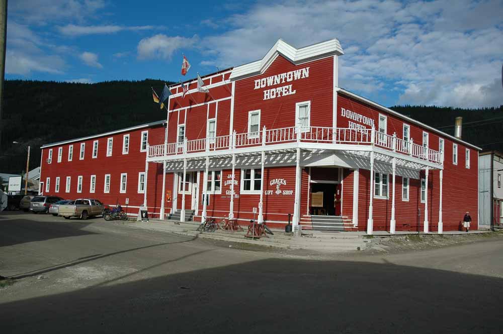
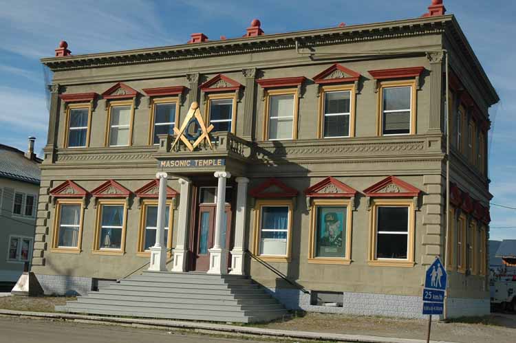
Downtown Dawson City, Yukon Territory
Life Without the RV is not that Bad – Nice Experience
Dawson Color
Dawson Restored
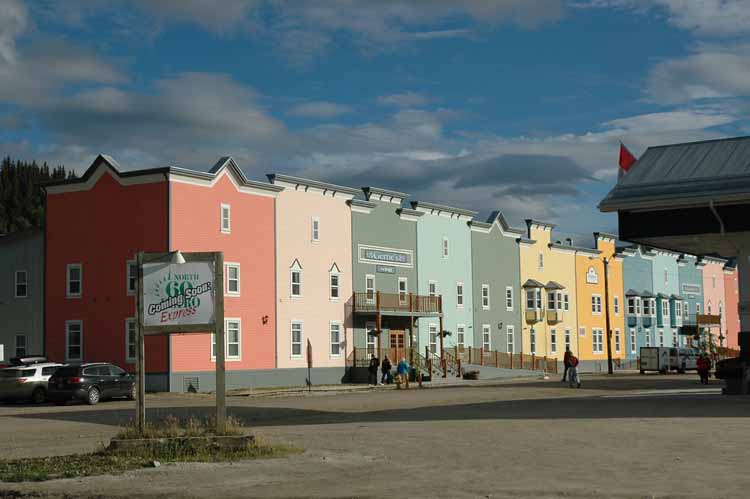
Dawson New Construction
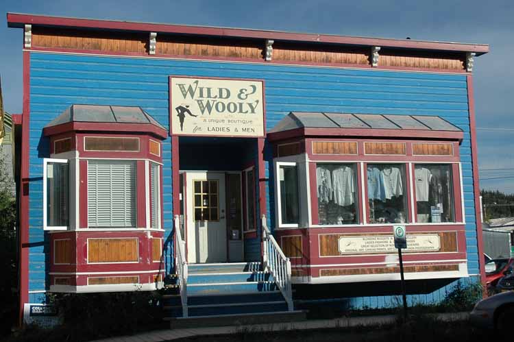
Fun Themes Through Out the Town!
Tin Cover Building made to look like Stone – Old Bank Building
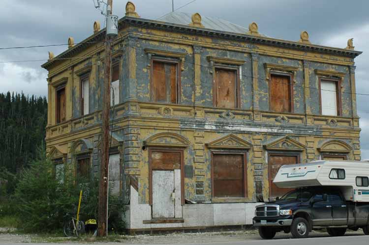
Tin Covered Building Gone Bad
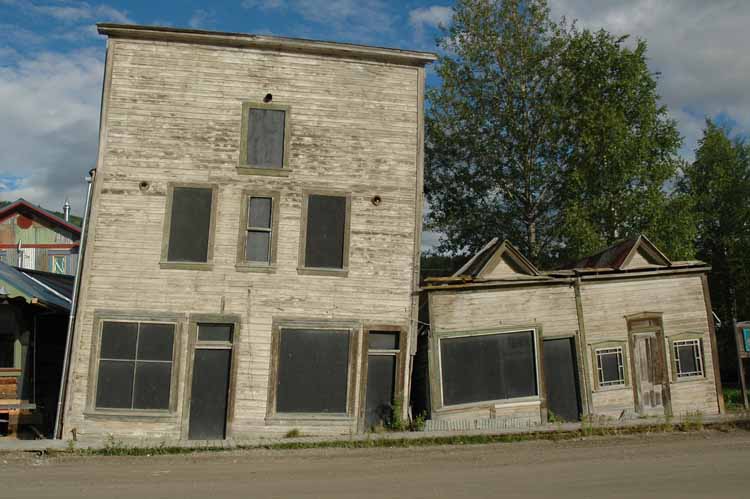
Victims of Permafrost
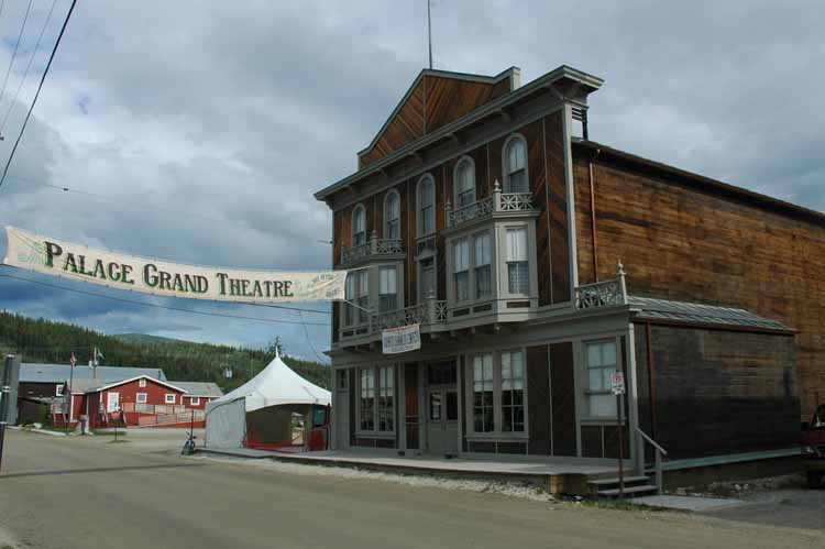
Palace Grand Theatre – Beautiful Inside
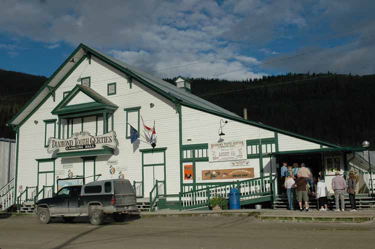
Diamond Tooth Gerties – Gambling and Can-Can Show
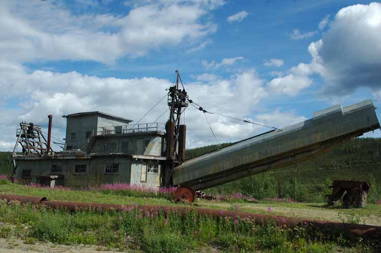
Dredging for Gold came after the Rush
Dawson City exceeded our expectations for two days and needed a third. The history of the area is rich with stories and how the area evolved from boom to bust then a tourist area managed by the Yukon Territorial Government and the Canadian Park Service. The selection of tours, exhibits, performances are plentiful and we did all that time allowed. The buildings are interesting with an active restoration program. I could do an entire blog on just Dawson City and the Gold Rush but will let the pictures tell the story. Today there is still considerable dredging activity trying to sort out all of the remaining gold. The total gold mined from the area is over a billion dollars.
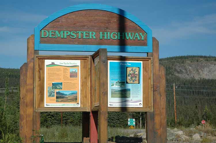
Dempster Highway to Inuvik, Northwest Territory
Dempster Rough but Colorful
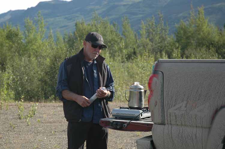
Coffee Break Along the Dempster…Almost as good as Starbucks
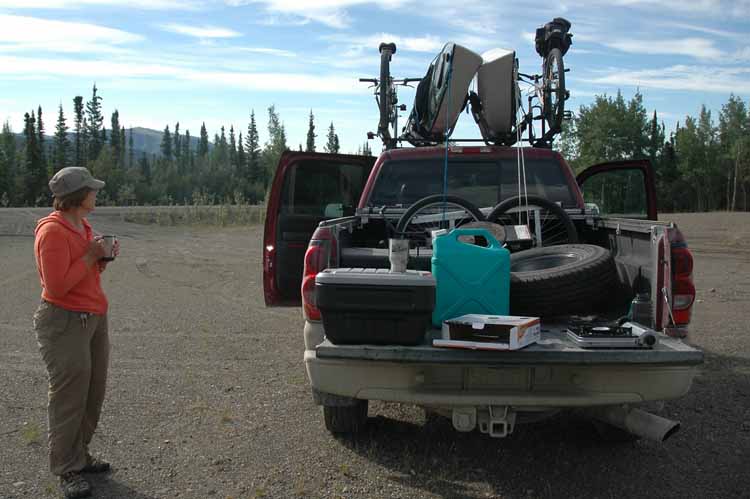
Is this what they call Tailgating!
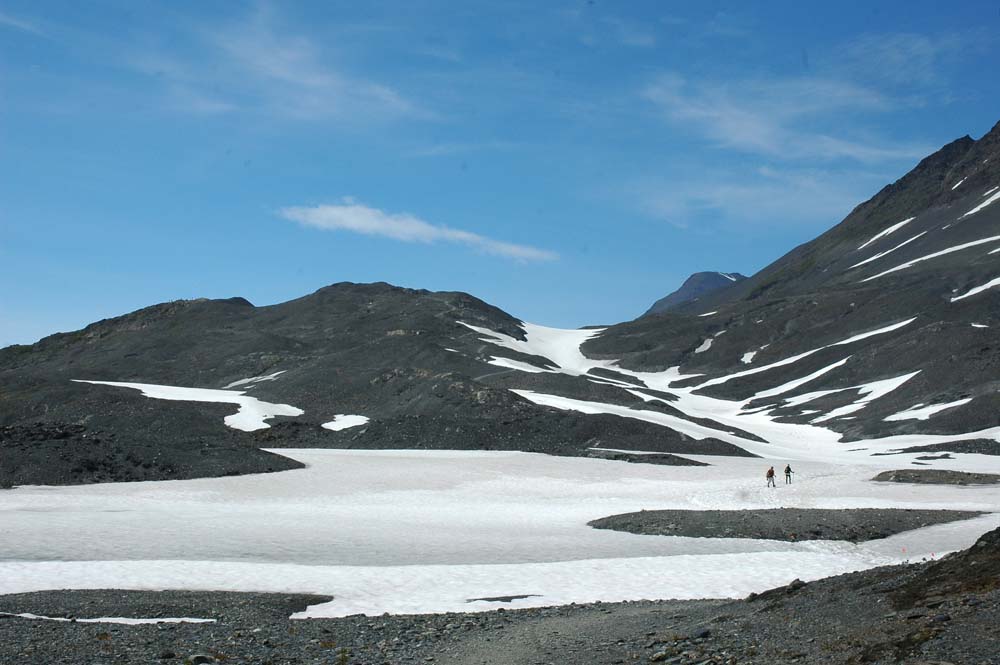
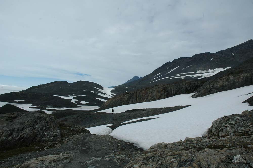
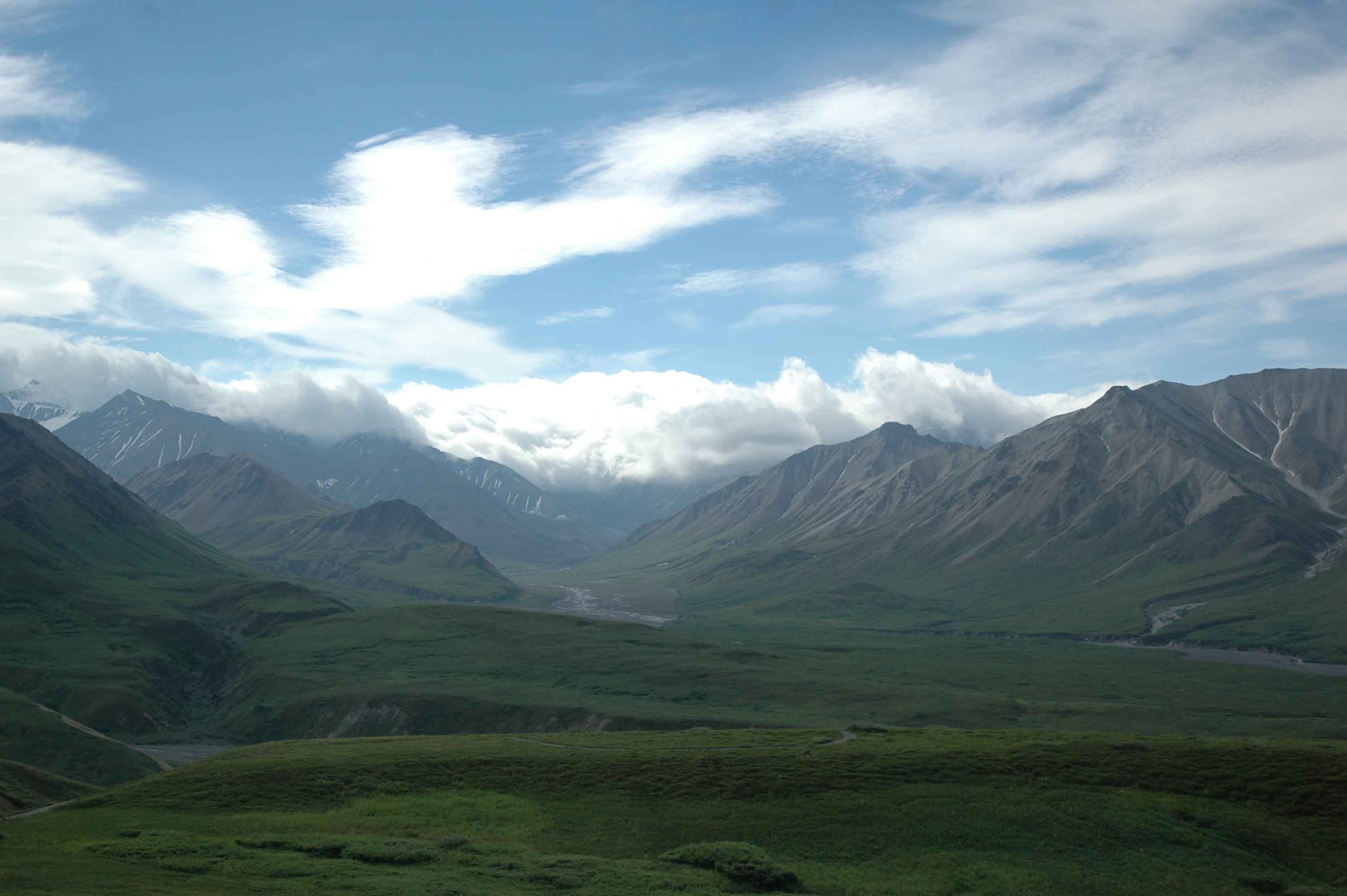
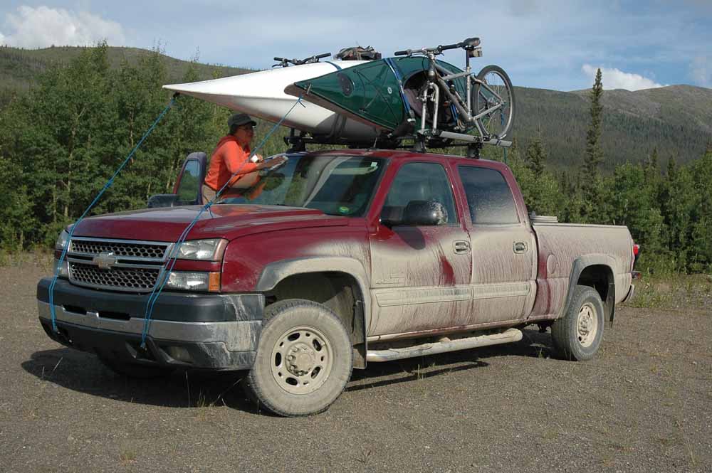
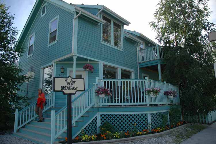
The Dempster Highway a 400 mile plus road to Inuvik ranks up there with the Dalton and Top of the World as a travel challenge. Although a trip to Inuvik was calling us we resisted the call and opted to do a short one day trip to the Tombstone Territorial Park (80 miles up the Dempster). Staying at the 5th Avenue Bed and Breakfast was a great experience, strongly recommended. However always needing a bit more coffee fix had to do the tailgate thing…
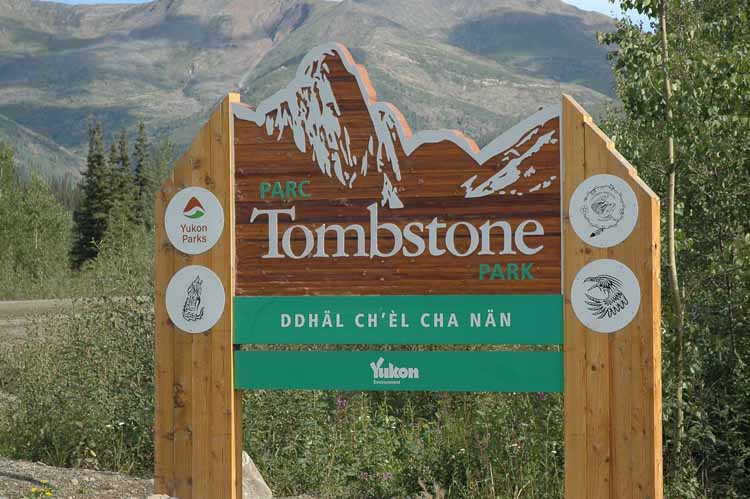
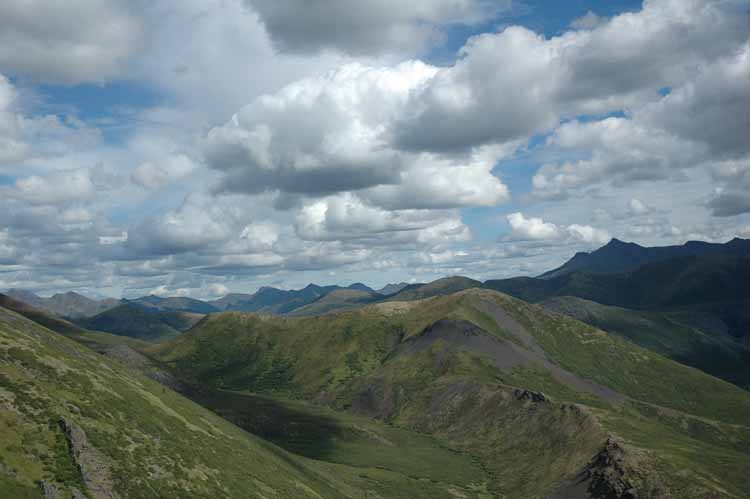
Tombstone Territorial Park – Worth the Trip
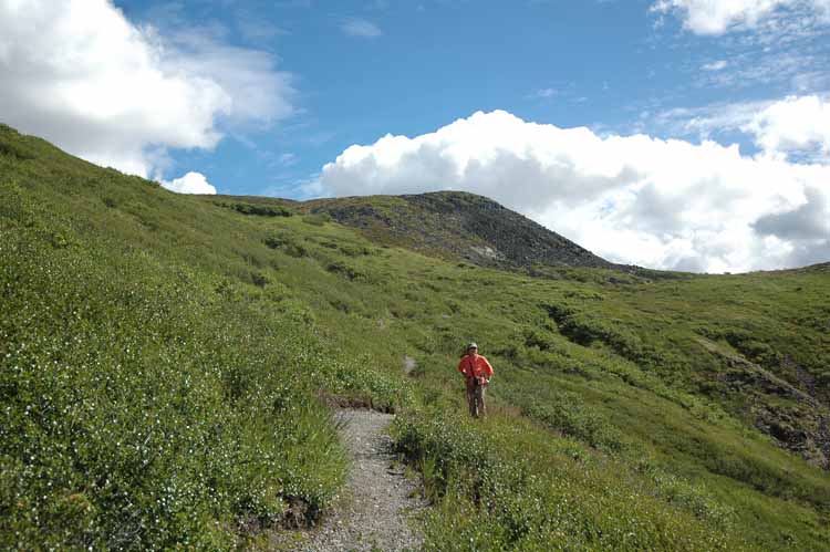
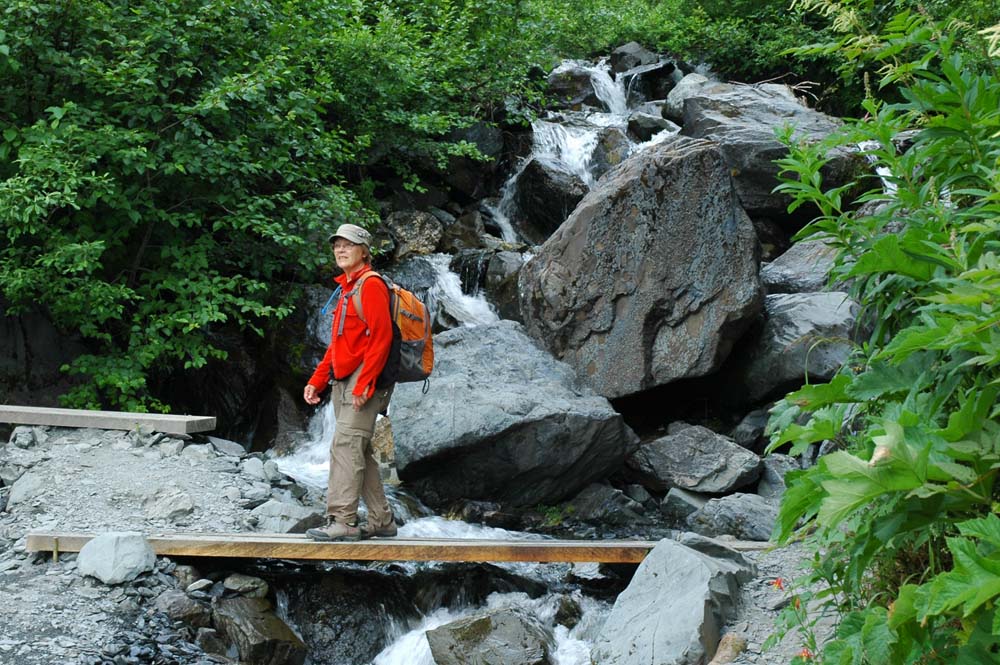
Goldside Hiking Trail…another nice climb!
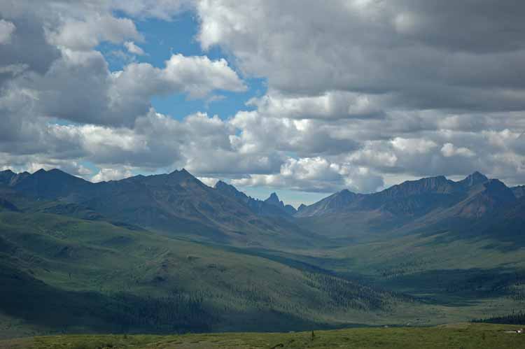
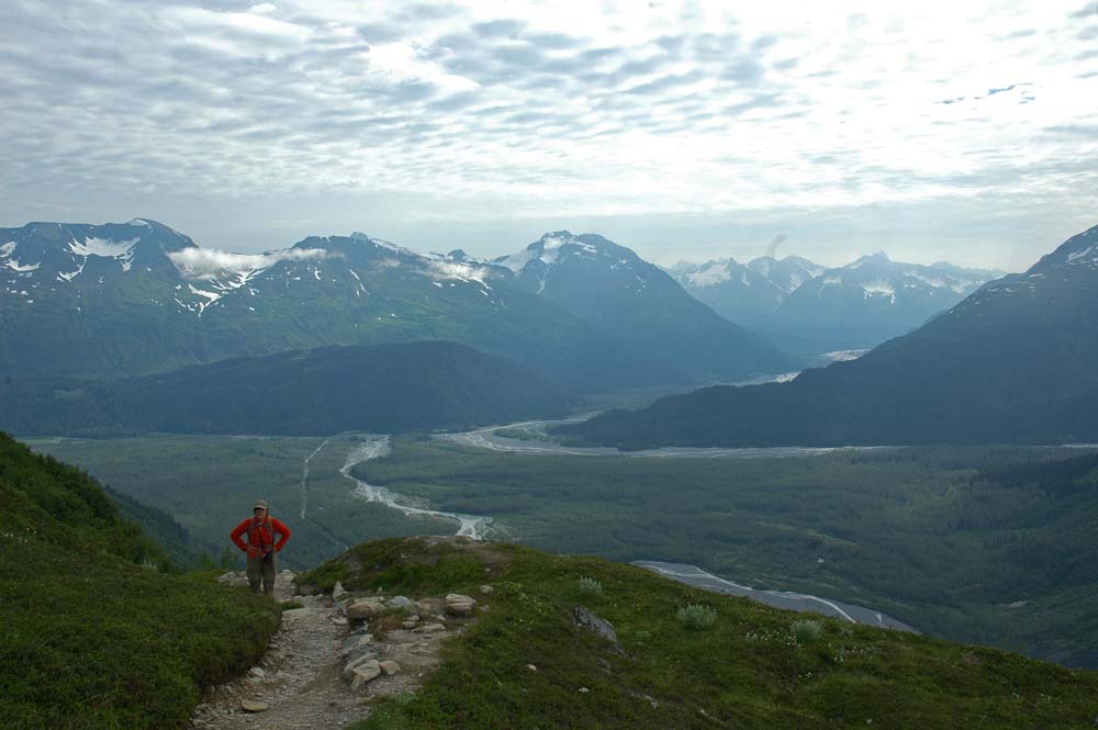
Goldside Trail View of the Tombstone Mountains
Another View from the Goldside Trail
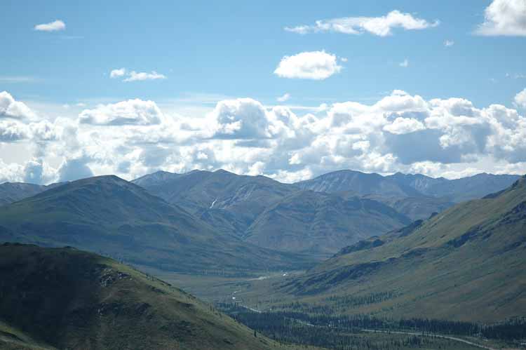
More Goldside Trail
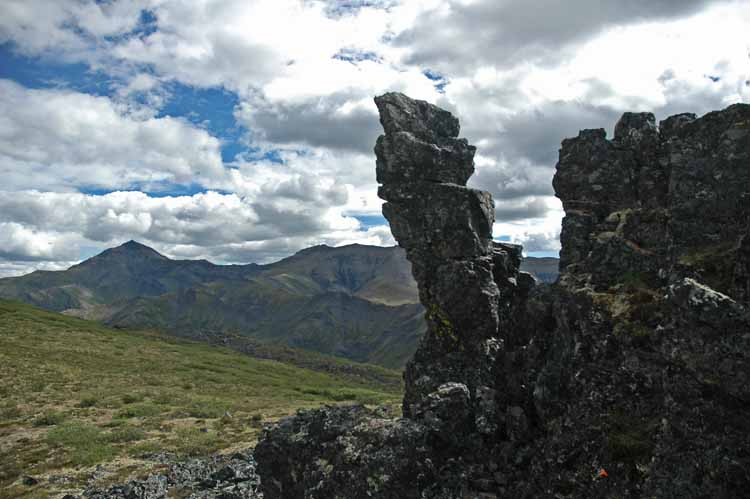
Goldside Rock Outcropping
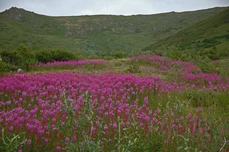
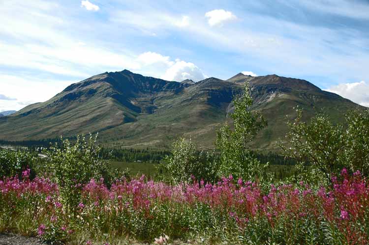
Fireweed comes after the fire!
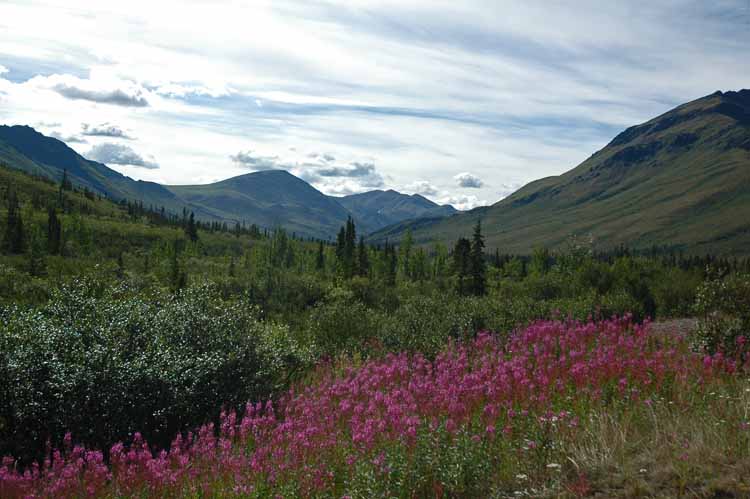
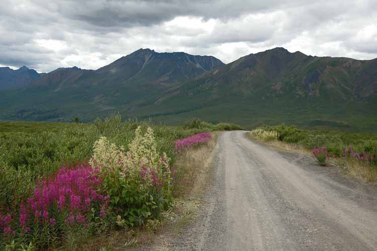
Photo Shot Along the Dempster
More from the Dempster
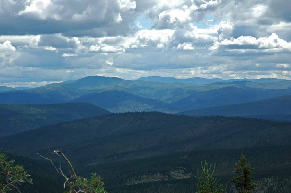
Tombstone Territorial Park
Tombstone…
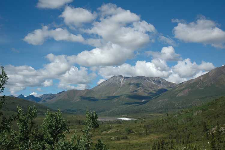
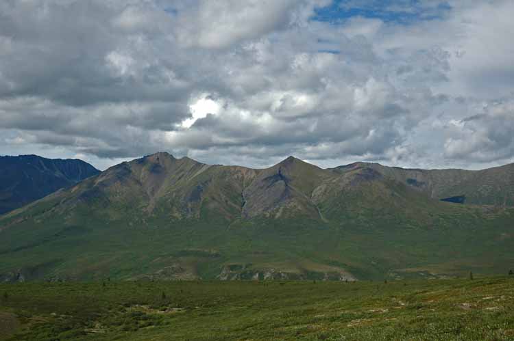
Very Varied Terrain Along the Dempster
Tombstone
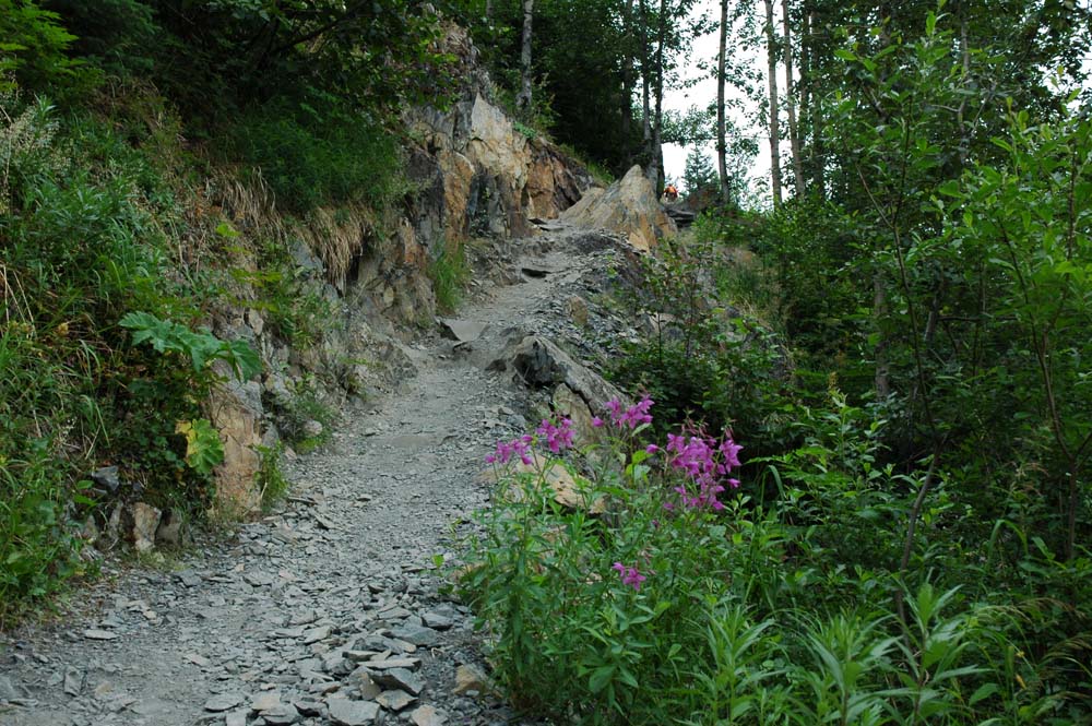
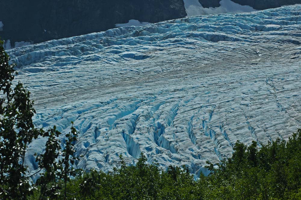
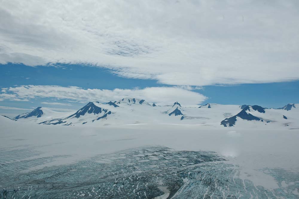
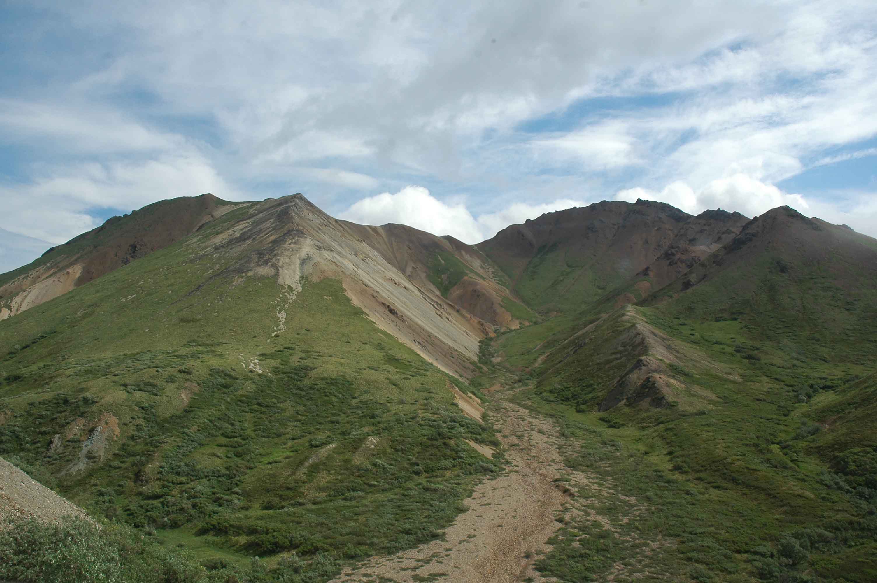
The side trip to the Tombstone Territorial Park was an exceptional experience (an easy day trip from Dawson). The lack of time seems to be a constant theme for this trip as there is always just one more hike that is calling us. The Goldside hike was outstanding. The views are breathtaking. We travelled the entire length of the park along the Dempster and enjoyed seeing the varied terrain.
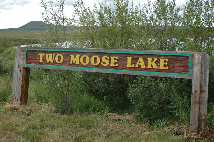
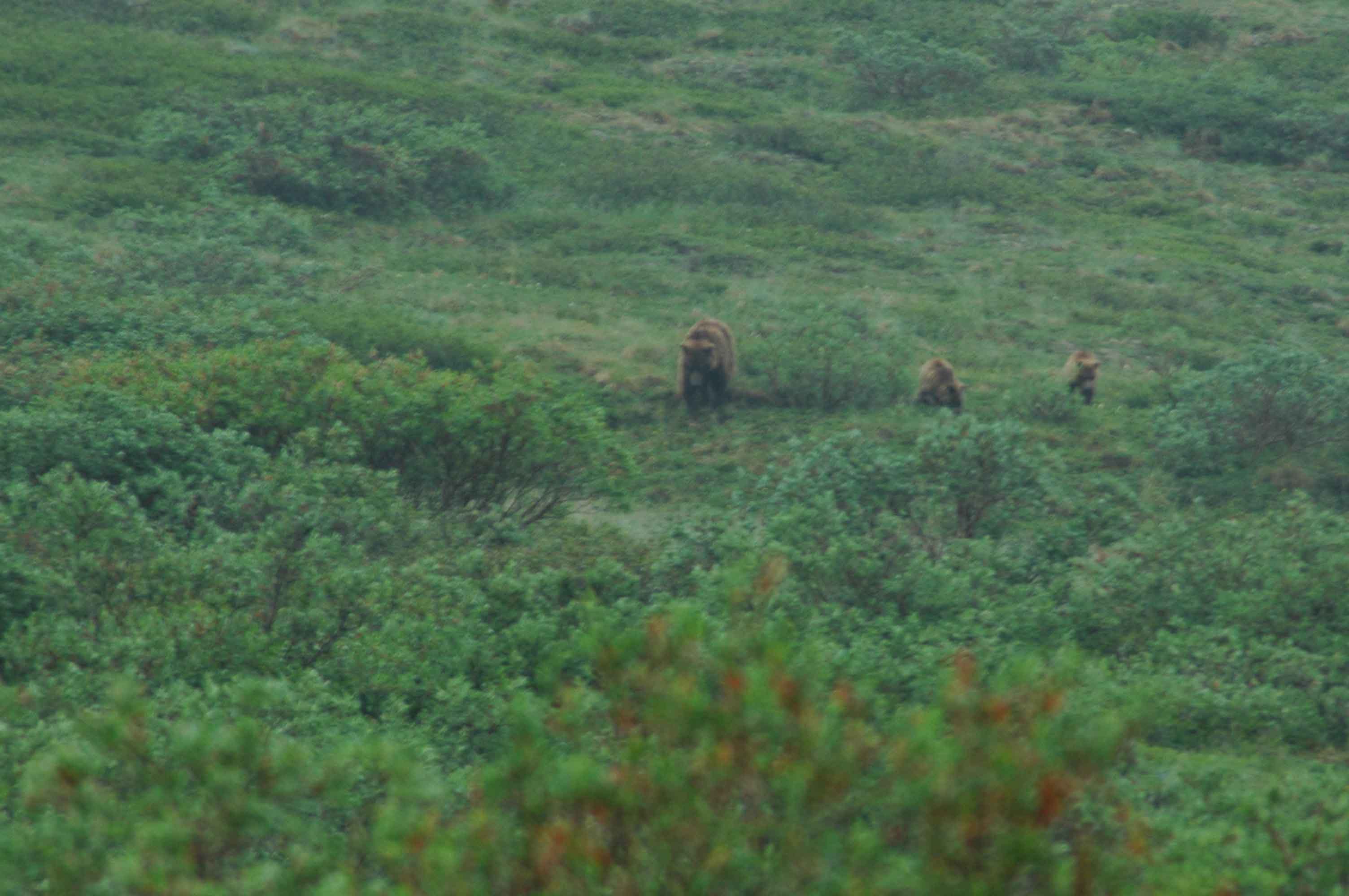
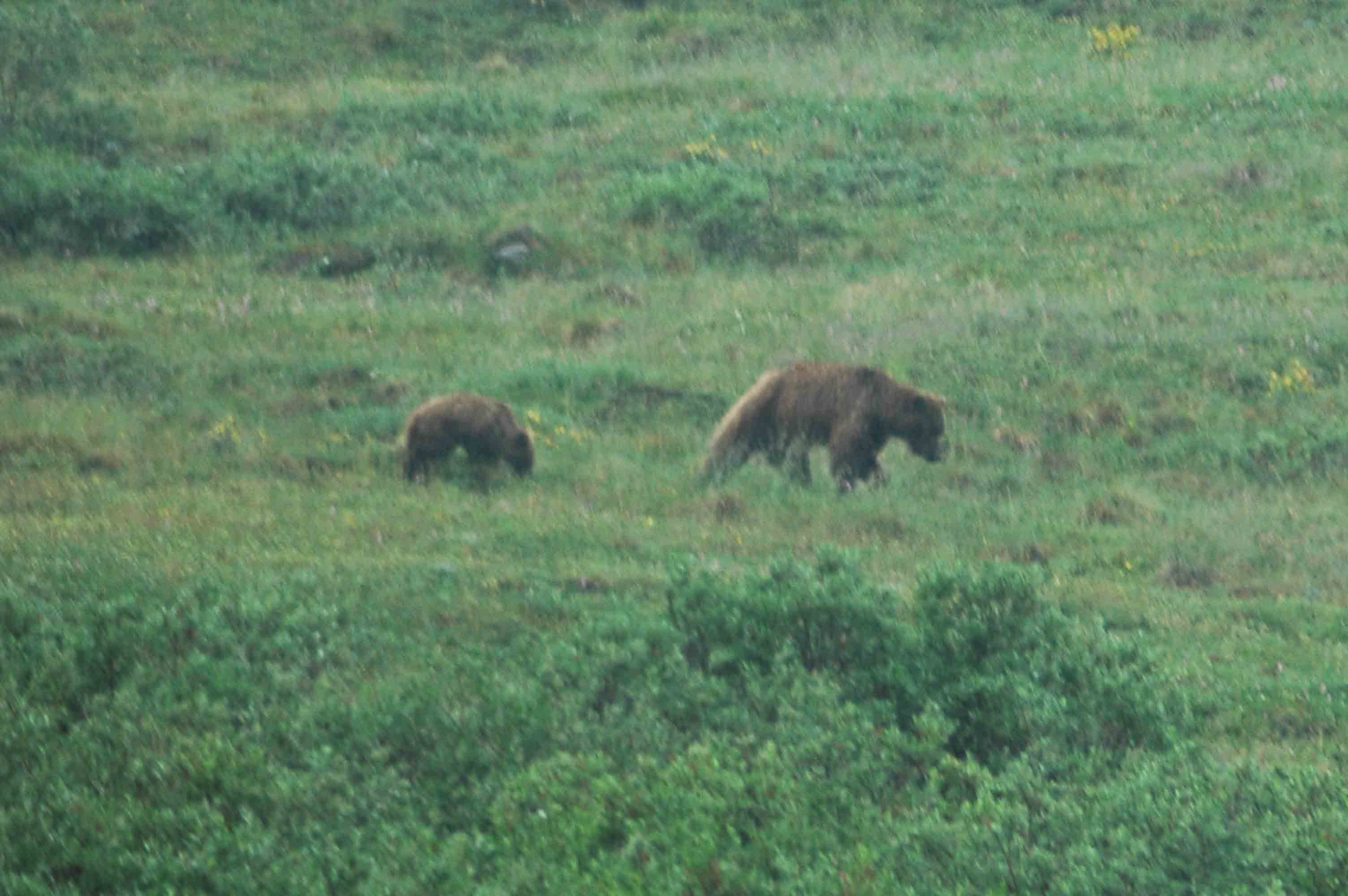
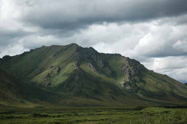
Tombstone Two Moose Lake
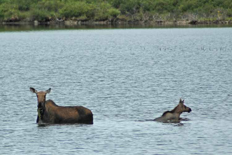
Two Moose in Two Moose Lake
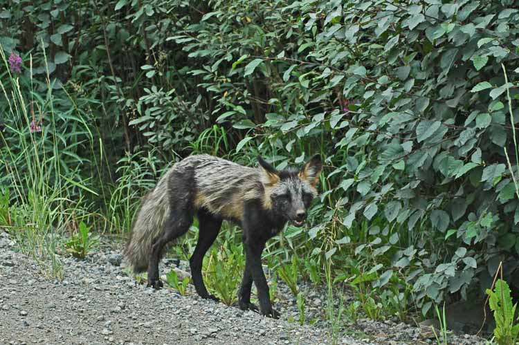
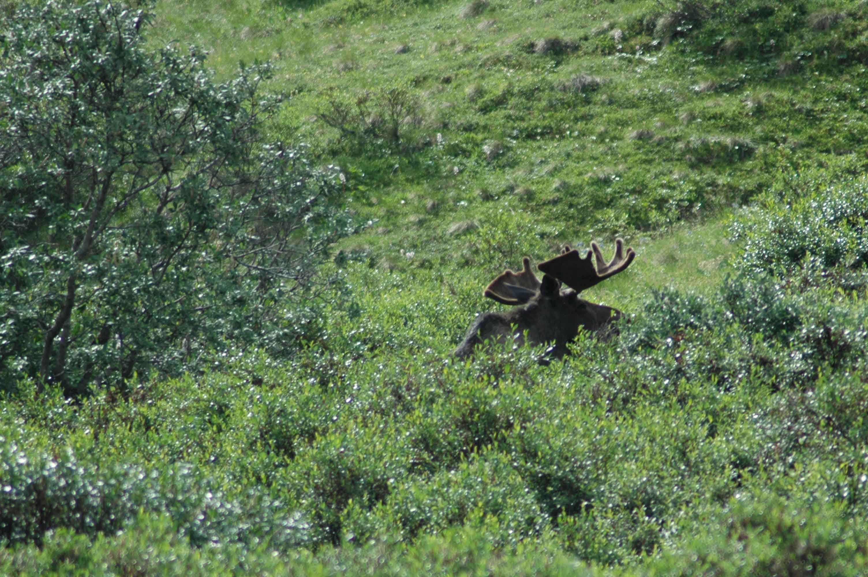
Artic Fox Along the Taylor Highway
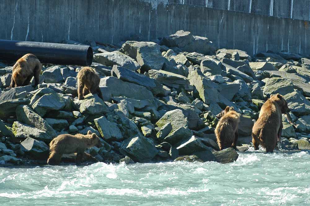
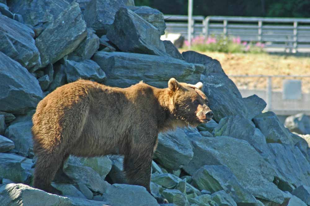
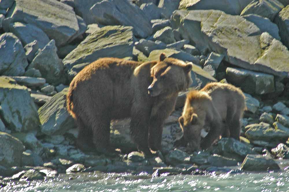
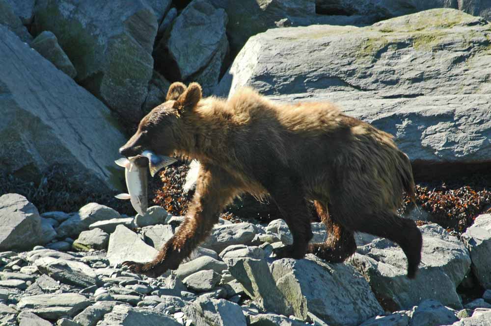
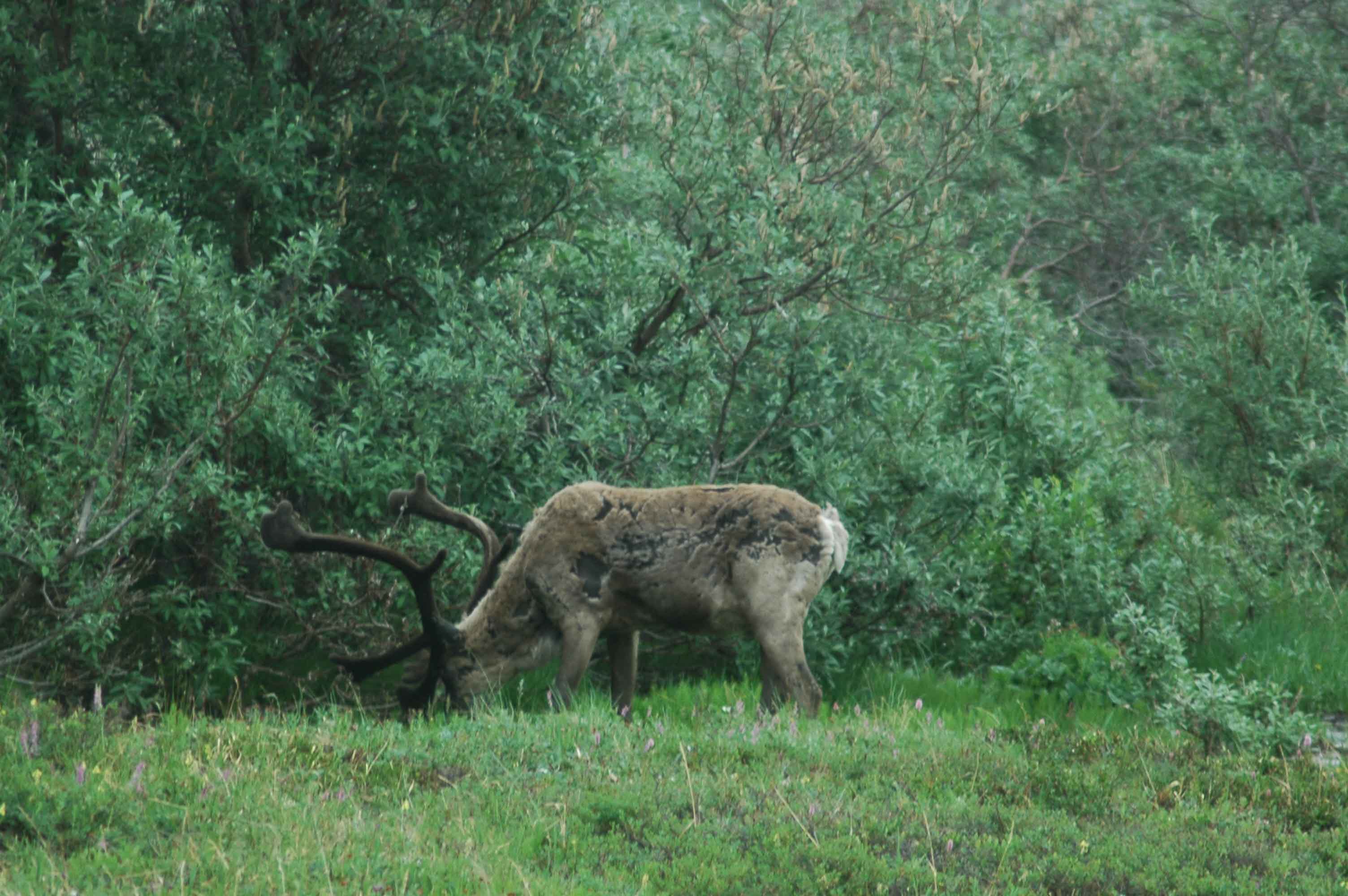
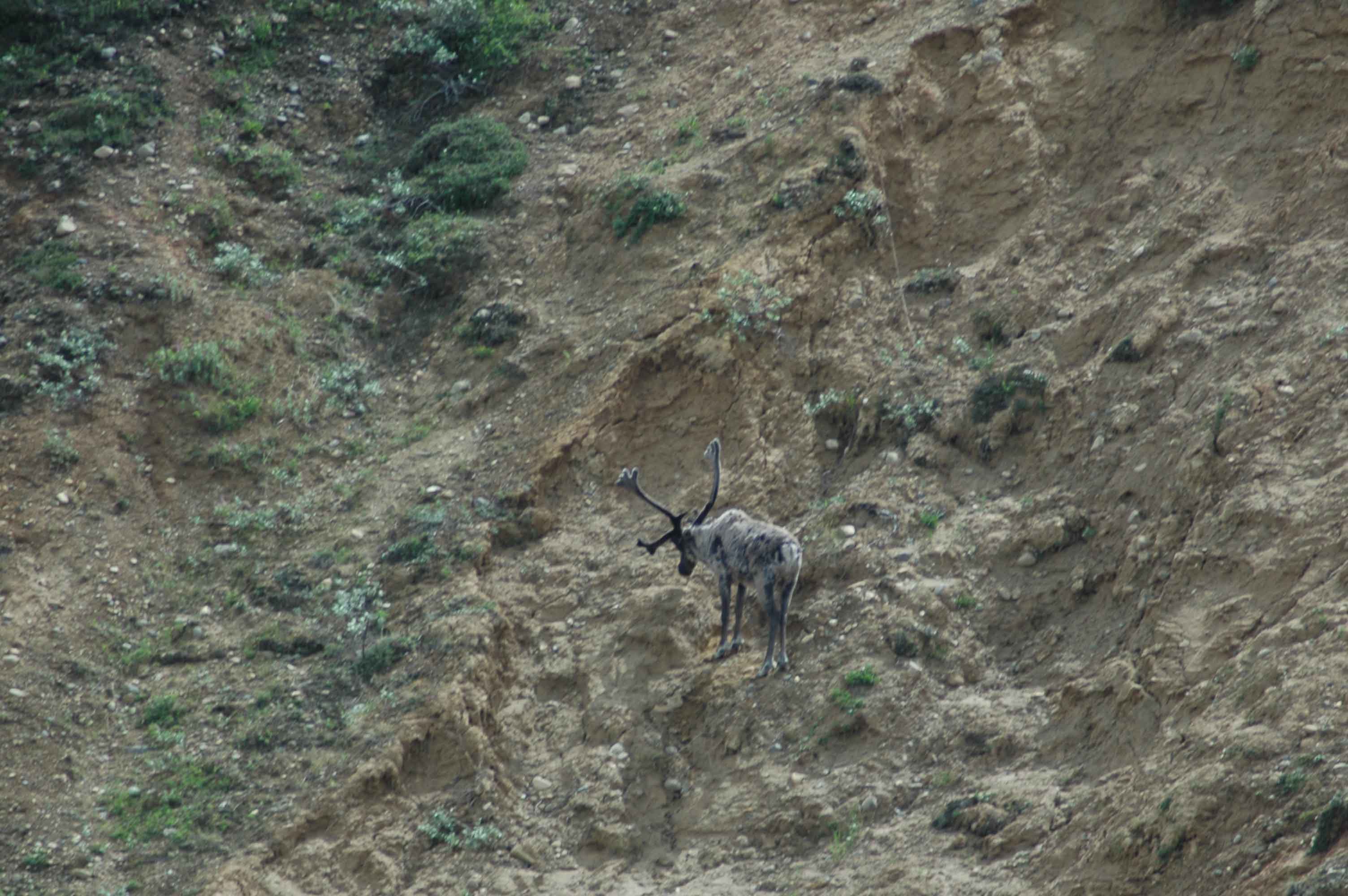
Sighting wildlife (except at Diamond Tooth Gerties) seemed to be the exception. We did catch a couple of moose and a black Arctic Fox along the road.
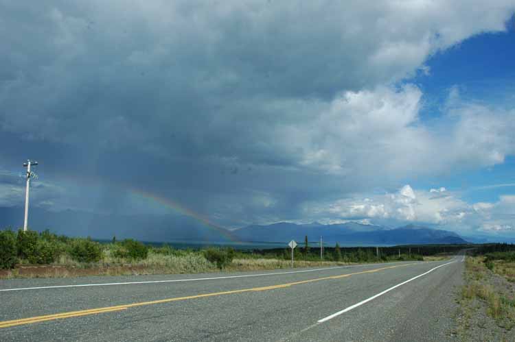
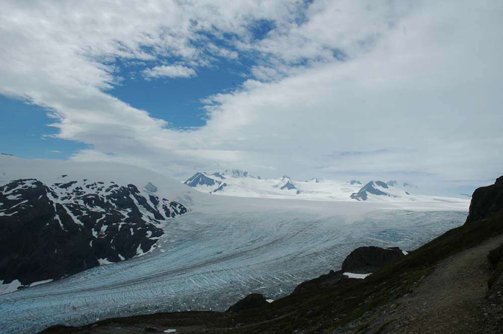
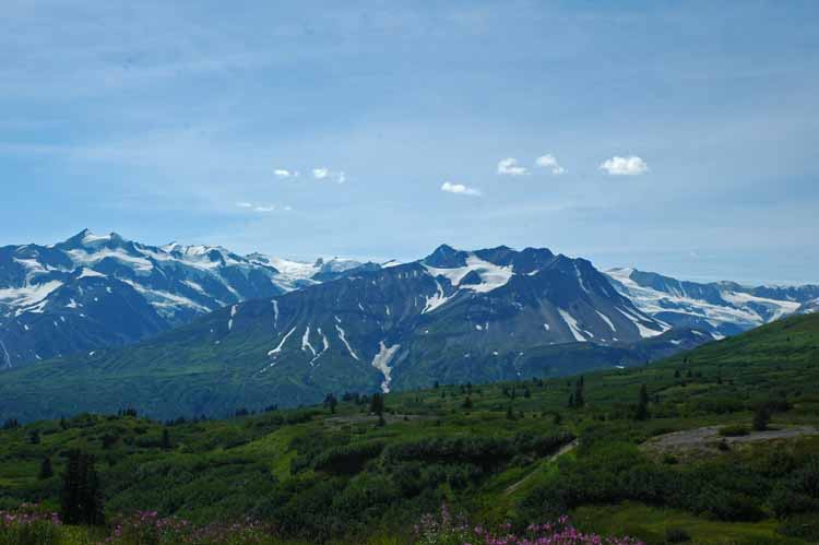
Back on the Alaskan Highway
Alaskan Highway View…Another Nice Day
Making our way to Haines we had to get back on the Alaskan Highway. We got to see the mountains this time (which were grand) that we had missed due to rain when we came into Alaska along this section of the road.
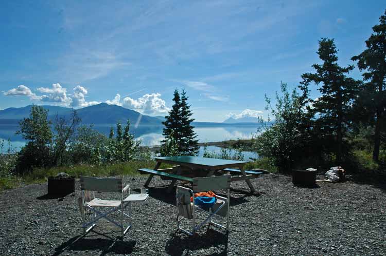
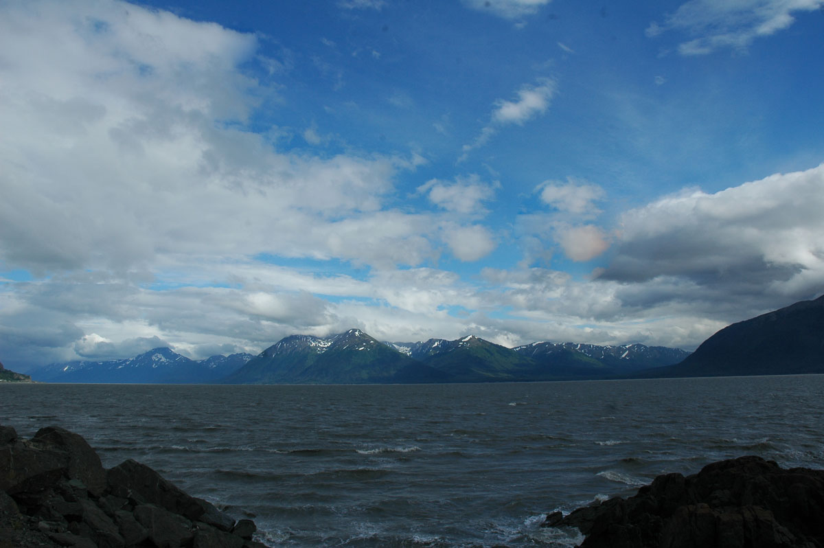
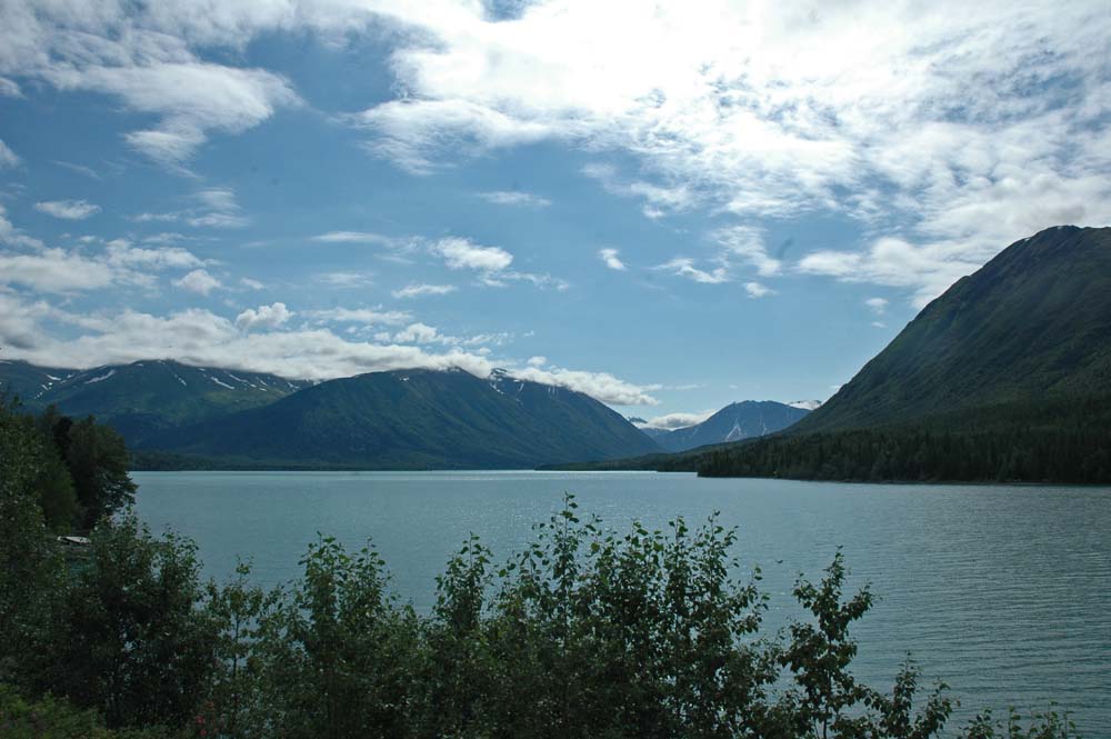
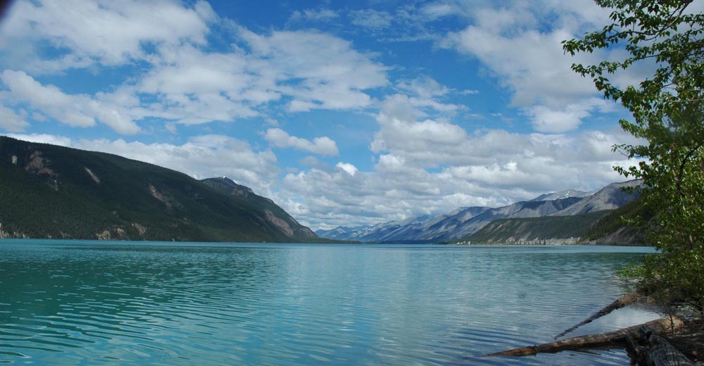
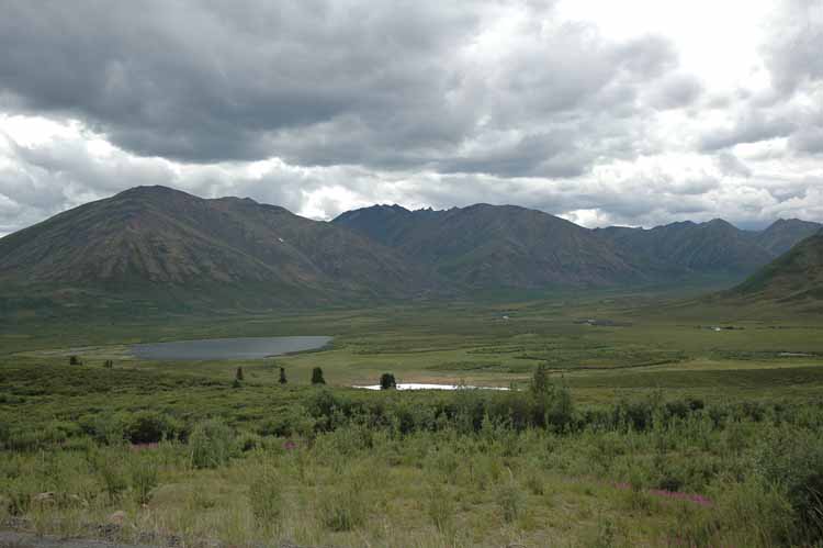
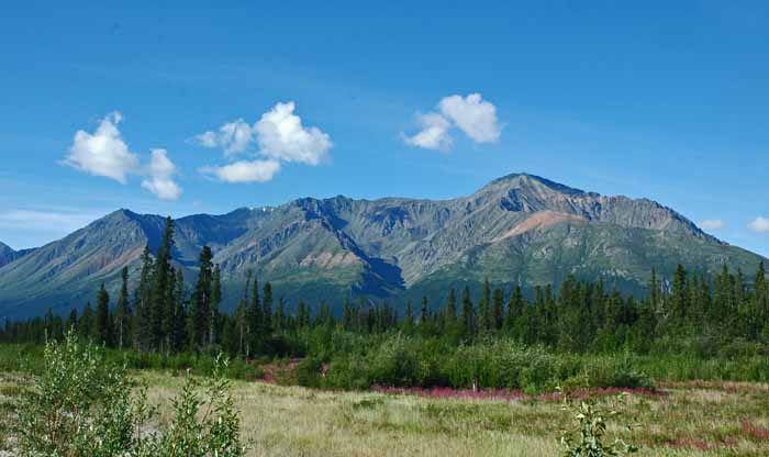
Congdon Creek Campground on Kluane Lake
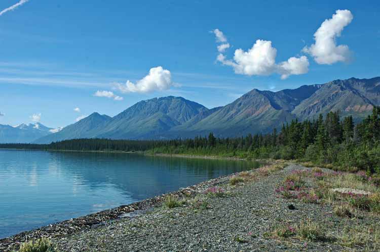
Kluane Lake
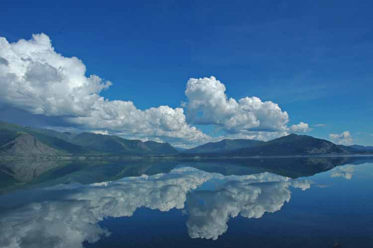
Kluane Lake
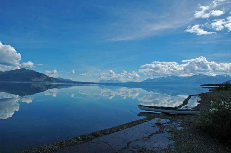
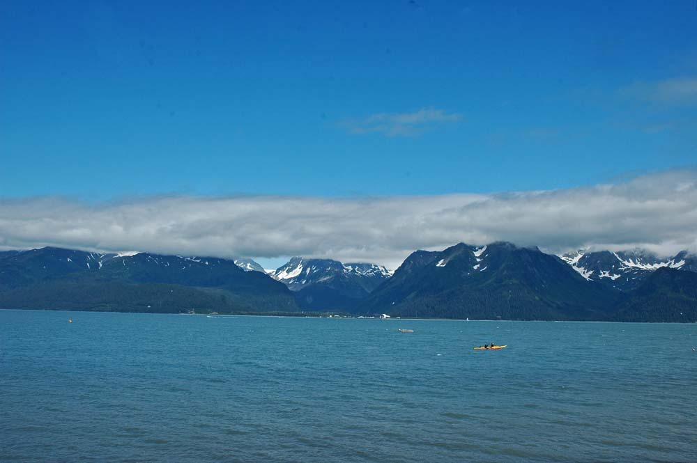
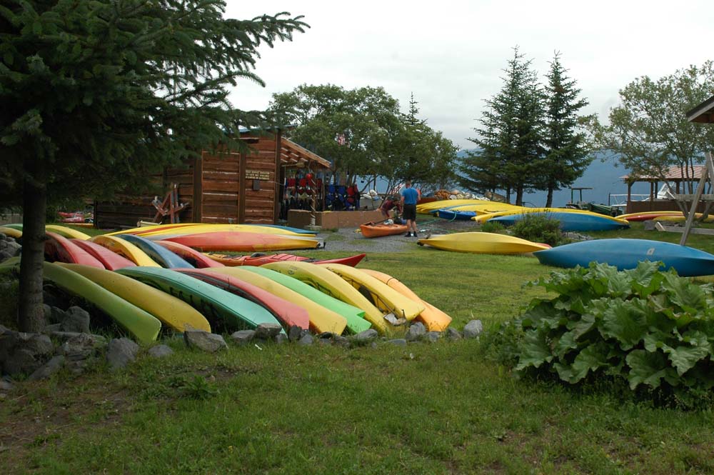
Perfect Setting to Launch the Kayak!
After seeing the Kluane Lake coming in to Alaska we had decided to stop on the way out. The lake is in a great setting and while we were there the weather was “picture perfect”. It was good to get away from the private RV parks and enjoy the Yukon Wilderness up close and personal.
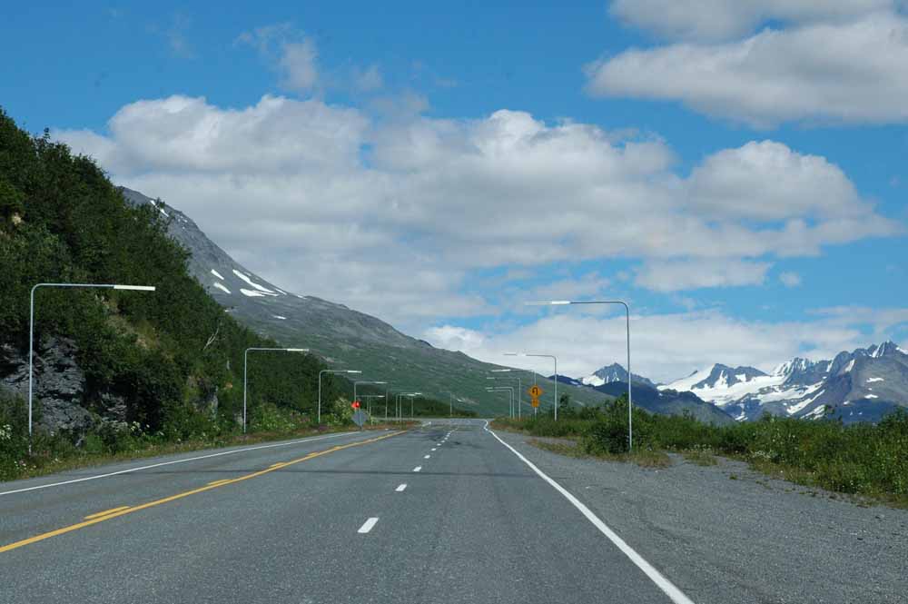
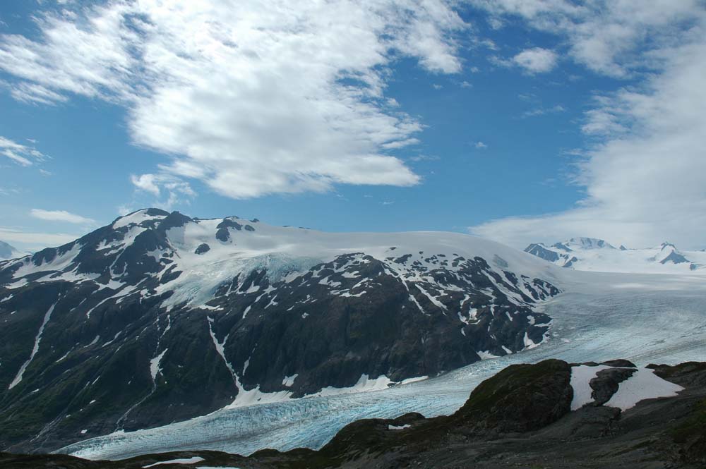
Road to Haines, AK
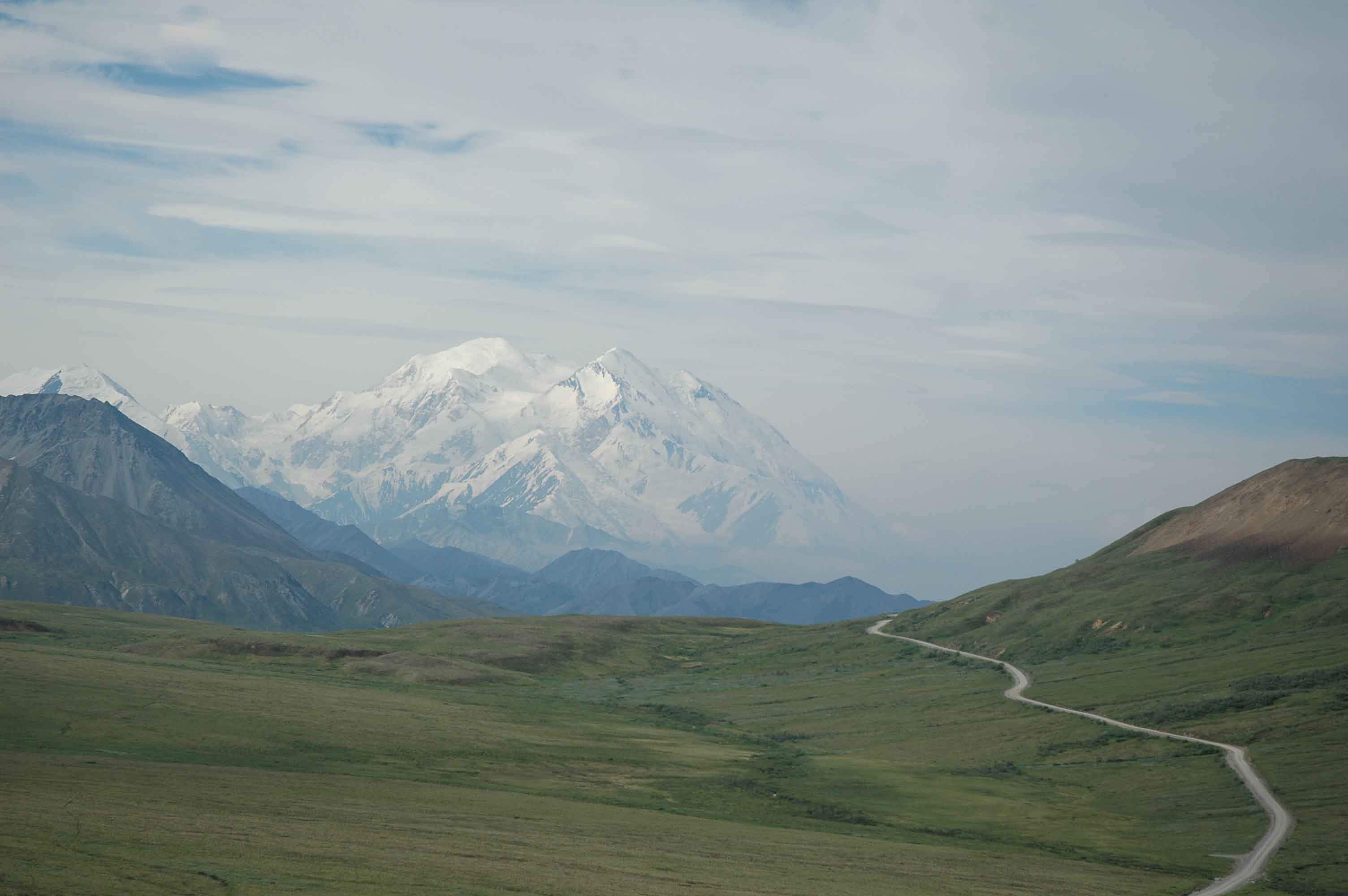
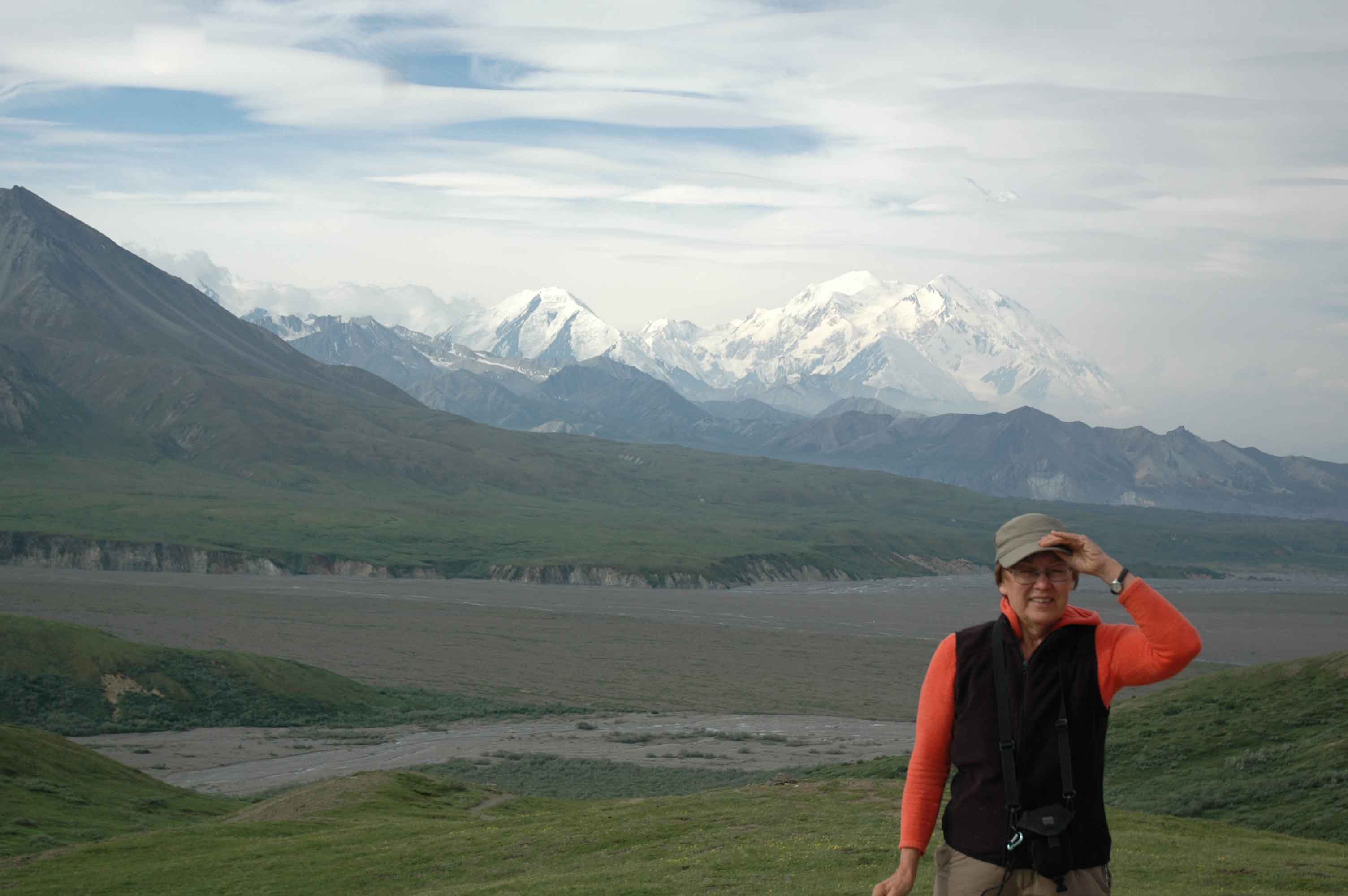
I think I said that the mountains to Valdez on the Richardson Hwy was a favorite. We now have to update that to the mountains from Haines Junction to Haines are even better (if you do not mind very large hills with steep grades).
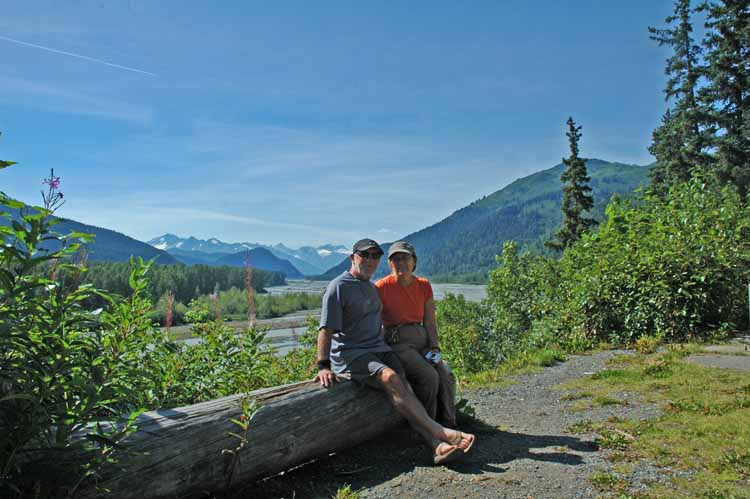
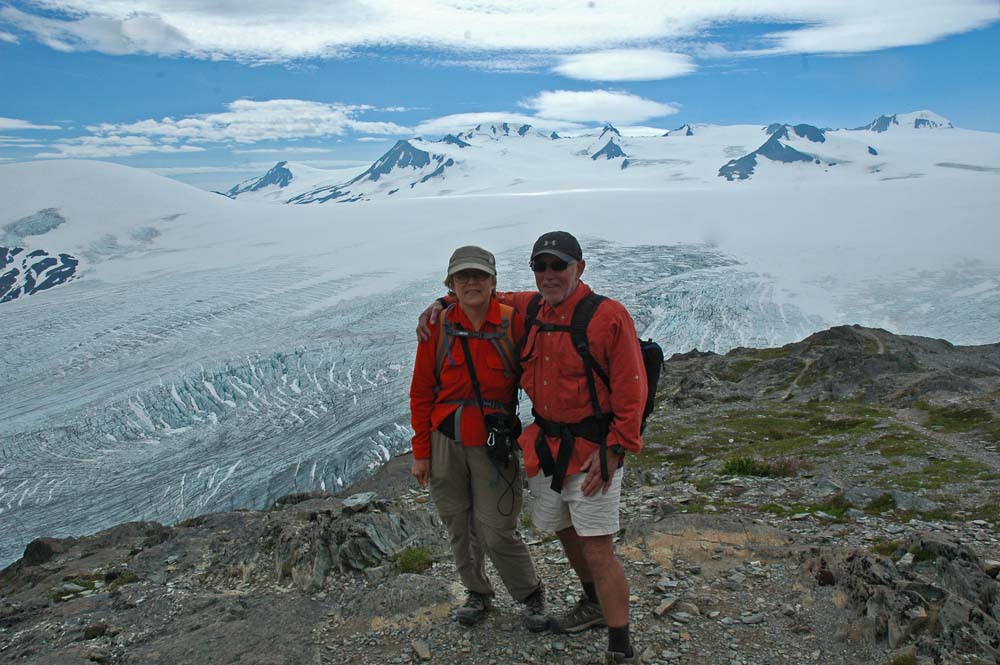
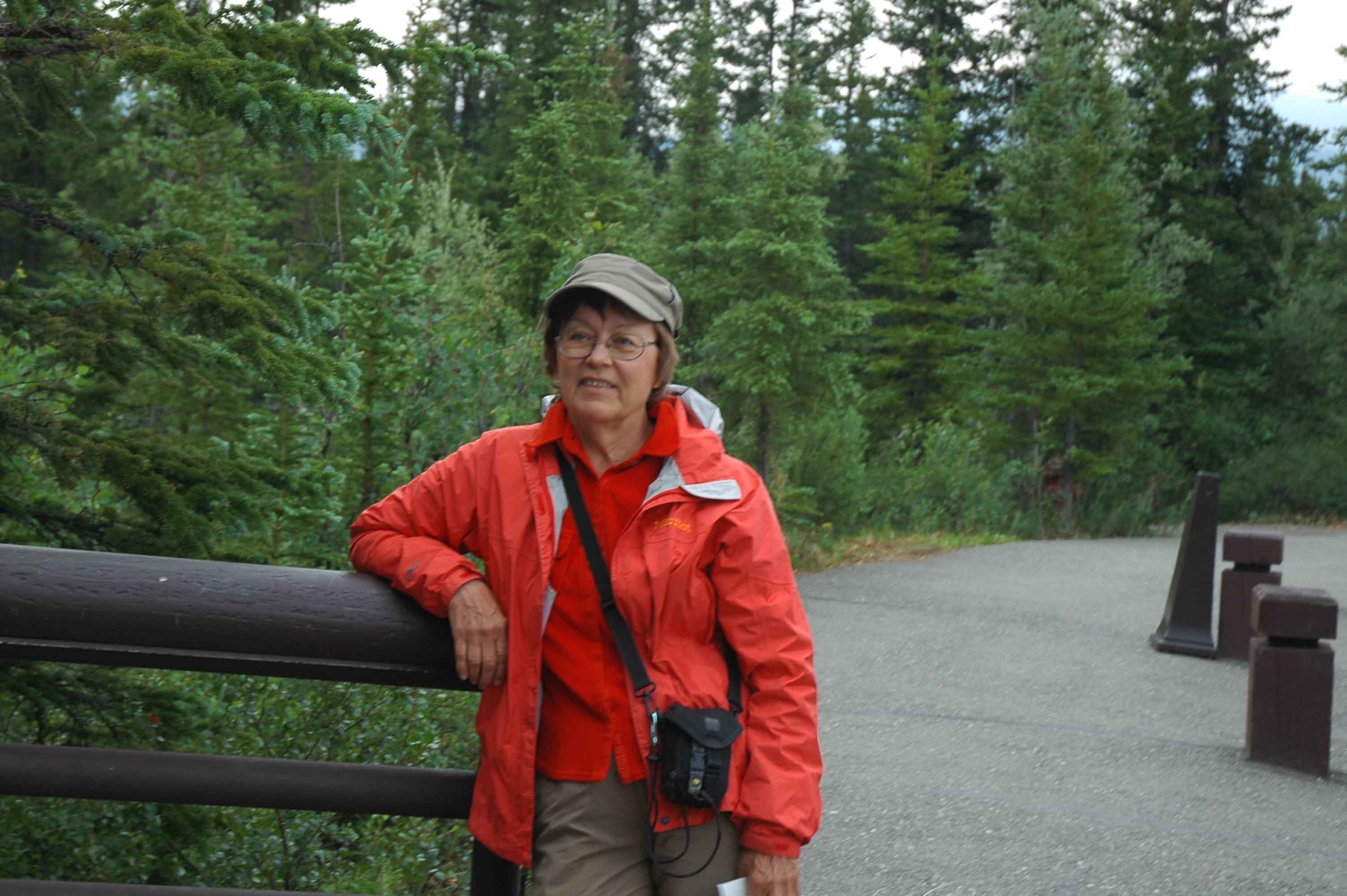
Seasoned Travelers taking a Break Outside Haines, AK
We are now settled in at the Hitch up RV Park in Haines. Looks like there will plenty to do here until we catch the ferry to Juneau.
God Bless,
Larry and Jan