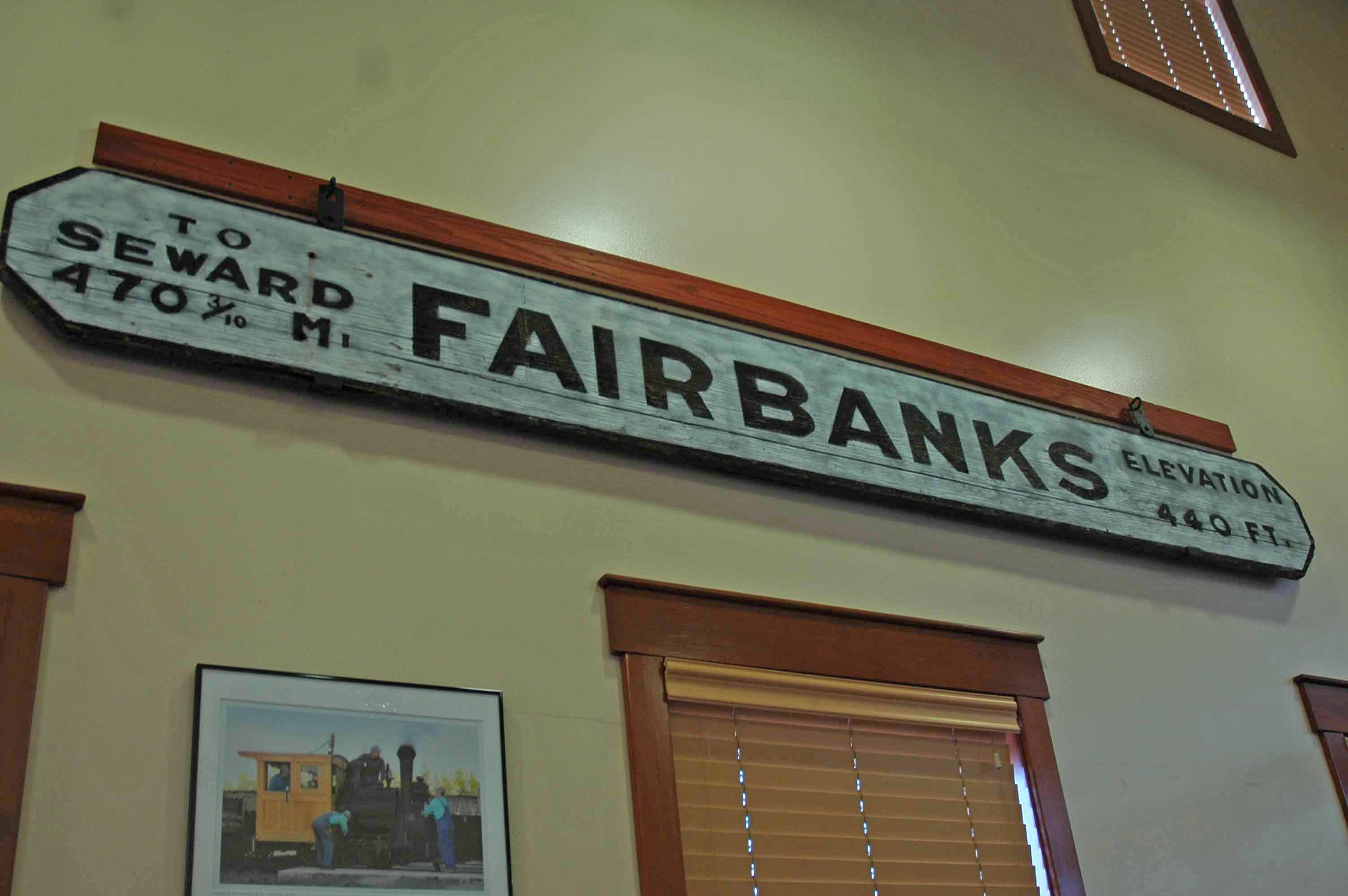
Fairbanks, Alaska – Pioneer Village Train Station
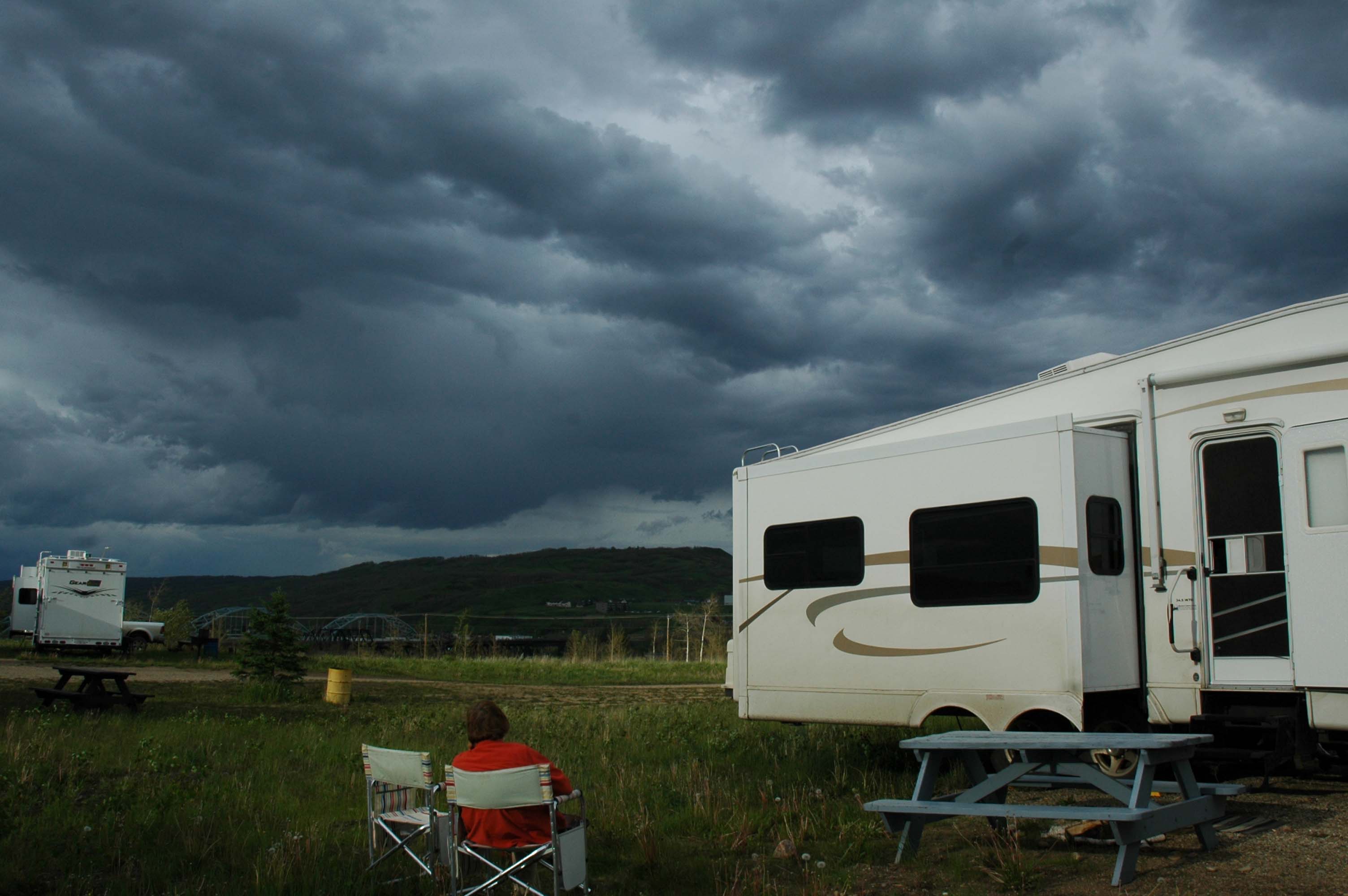
It is mind-boggling how fast time flies on the road. We left Traverse City on May 20th and sadly nearly one-third of our planned time on the road is already gone. We have logged over 6,500 miles with plans to cover much more. Fairbanks was the right place for us to change gears from the aggressive road schedule to style where we can stop and smell the roses! Yes, they have lots and lots of wild roses here in the North Country. The stay in Fairbanks has been eight days and if we had the time we would stretch it a few more. The RV Park was a sound strategic location and has worked out even better than we had expected. Jan and I have found that the city is a lot like any big city but it still has the rustic Alaskan look and feel. I was complaining about an event that I thought was a bit lame to a local. He told me to get with the program. This is Alaska and being outside and enjoying the wilderness is what is important! Message received…
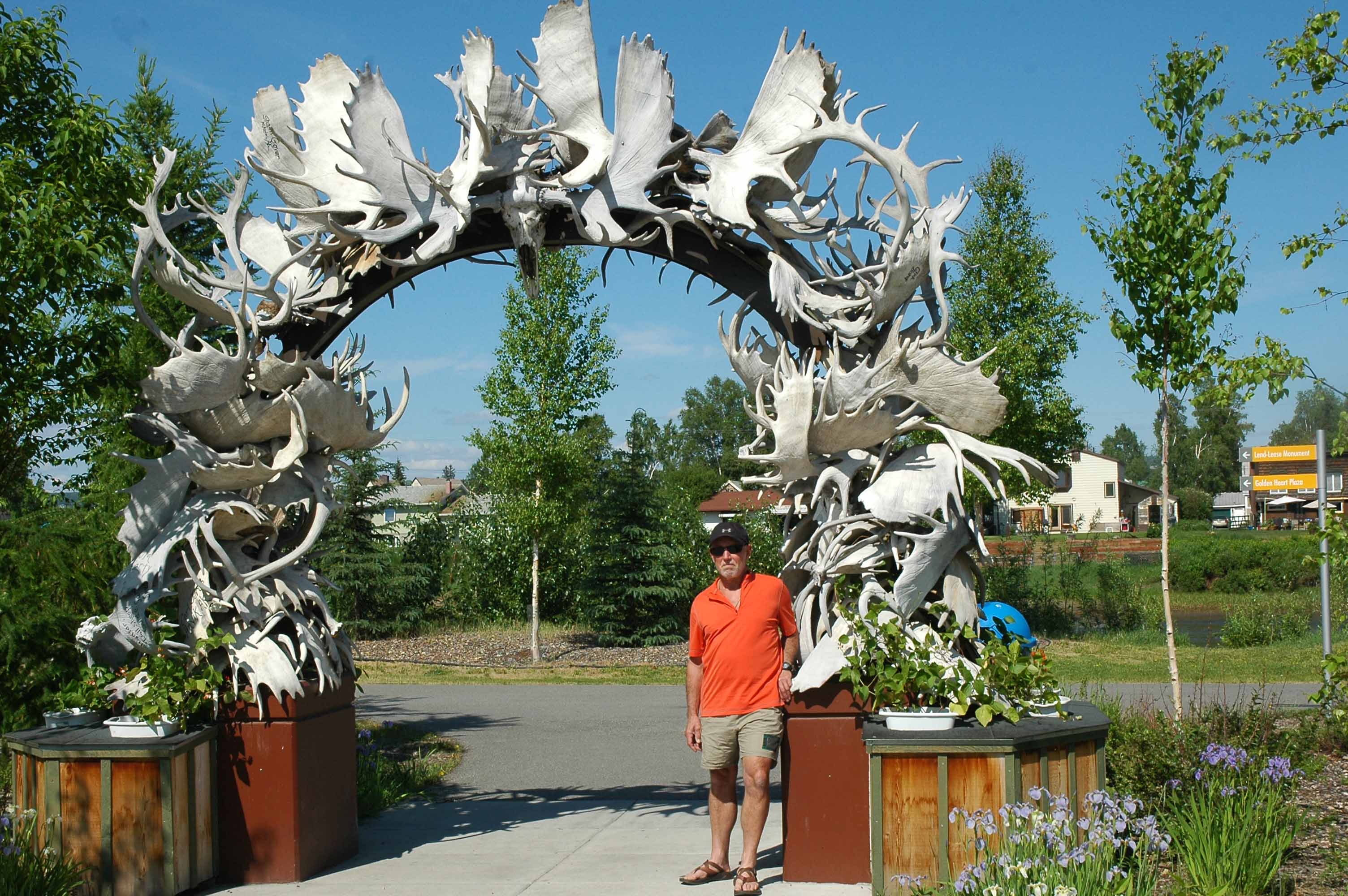
Photo Opt at the Fairbank’s Antler Arch
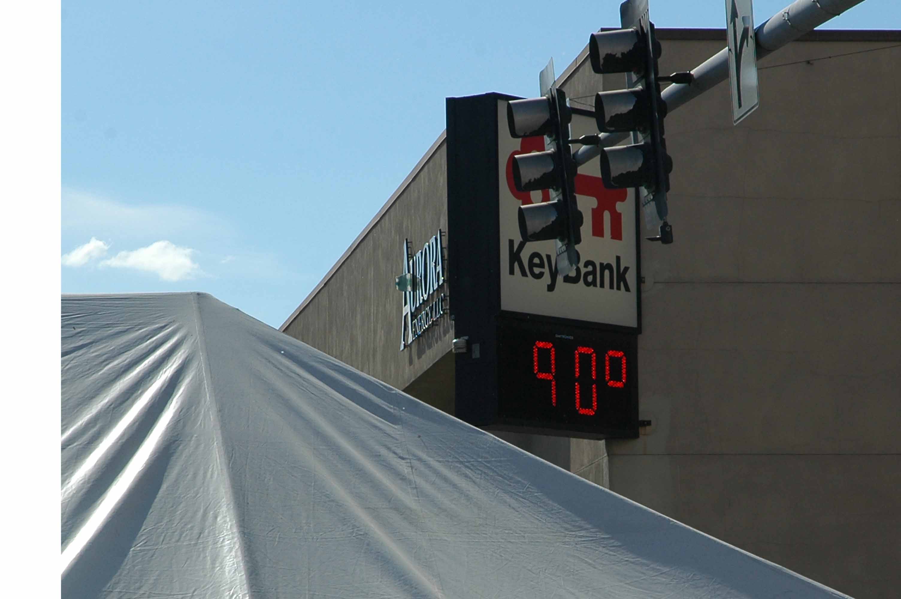
Unseasonably Hot!
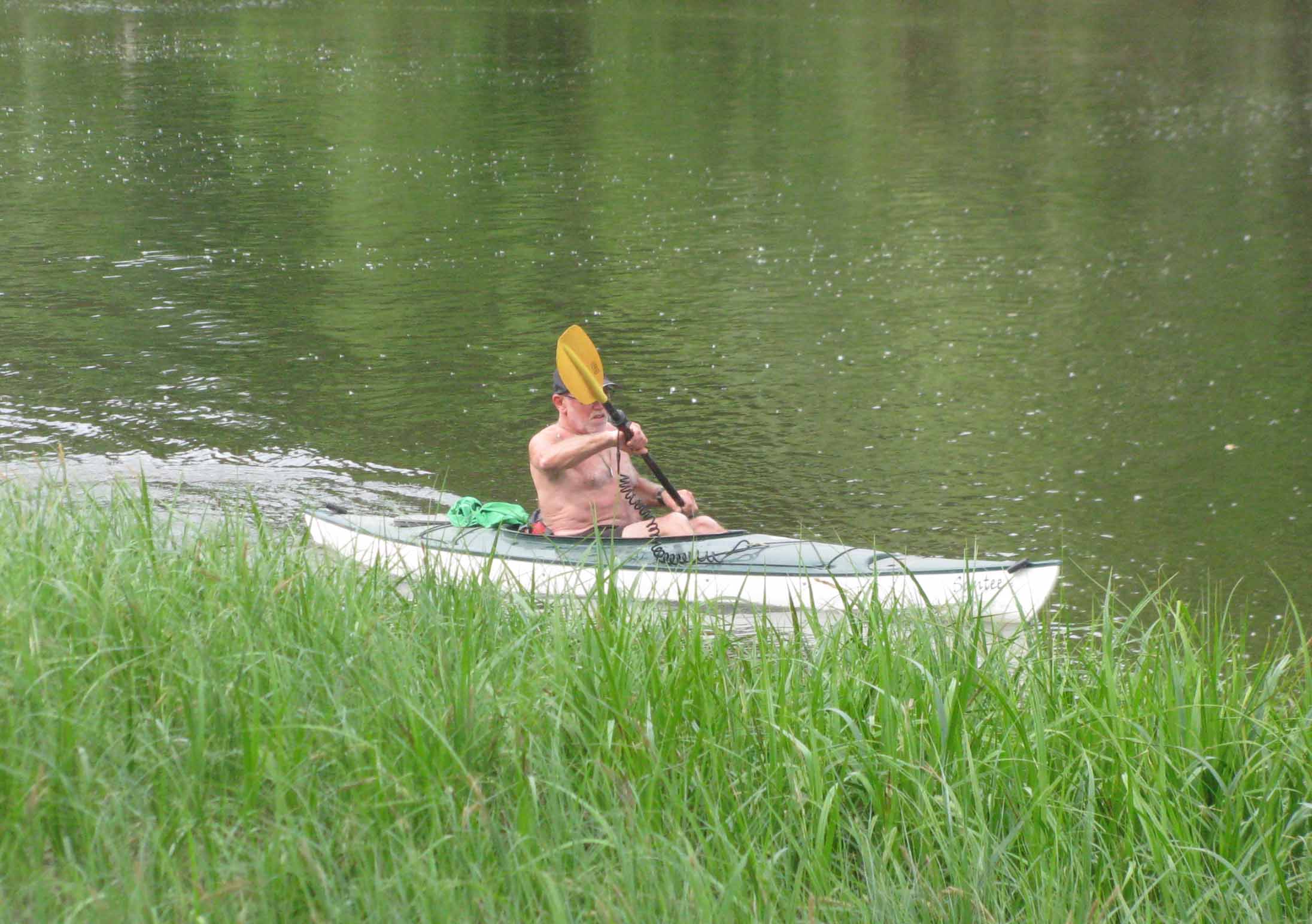
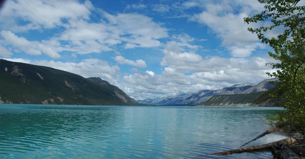
Kayaking the Chena
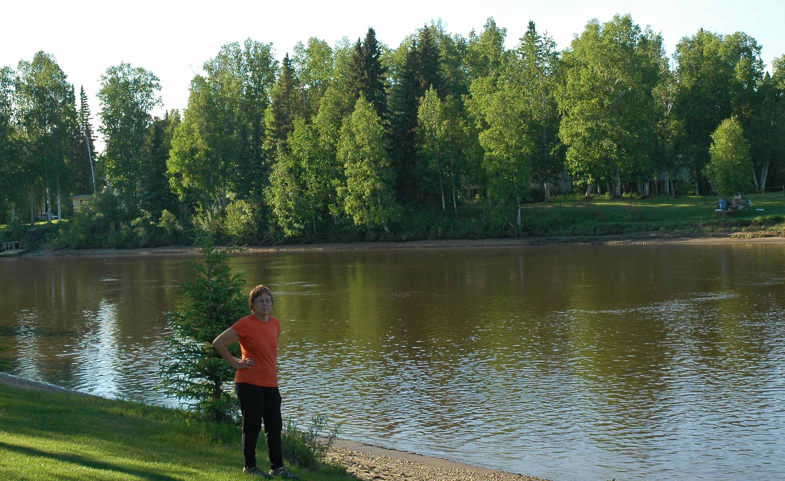
Although this part of the journey was a place to catch our breath we have managed to explore the area extensively. The Antler Arch downtown is where many pictures are taken by those passing through. There is a nicely done waterfront with lots to do and see. It has been hot while we are here according to local standards. We have found it to be quite pleasant and although it is hot there is no humidity. The bikeway here is impressive. I took advantage by doing several nice long bike rides. It was an easy five mile shot to downtown which we did several times. I was able to launch the kayaks right from the RV Park and enjoyed my time on the river.
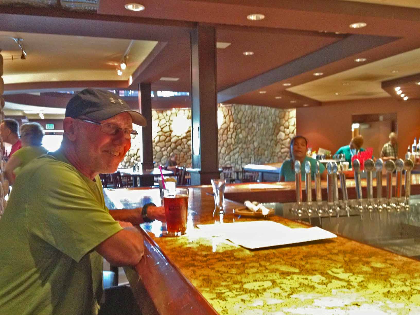
Silver Gulch Brewery – Checking out the local Micros
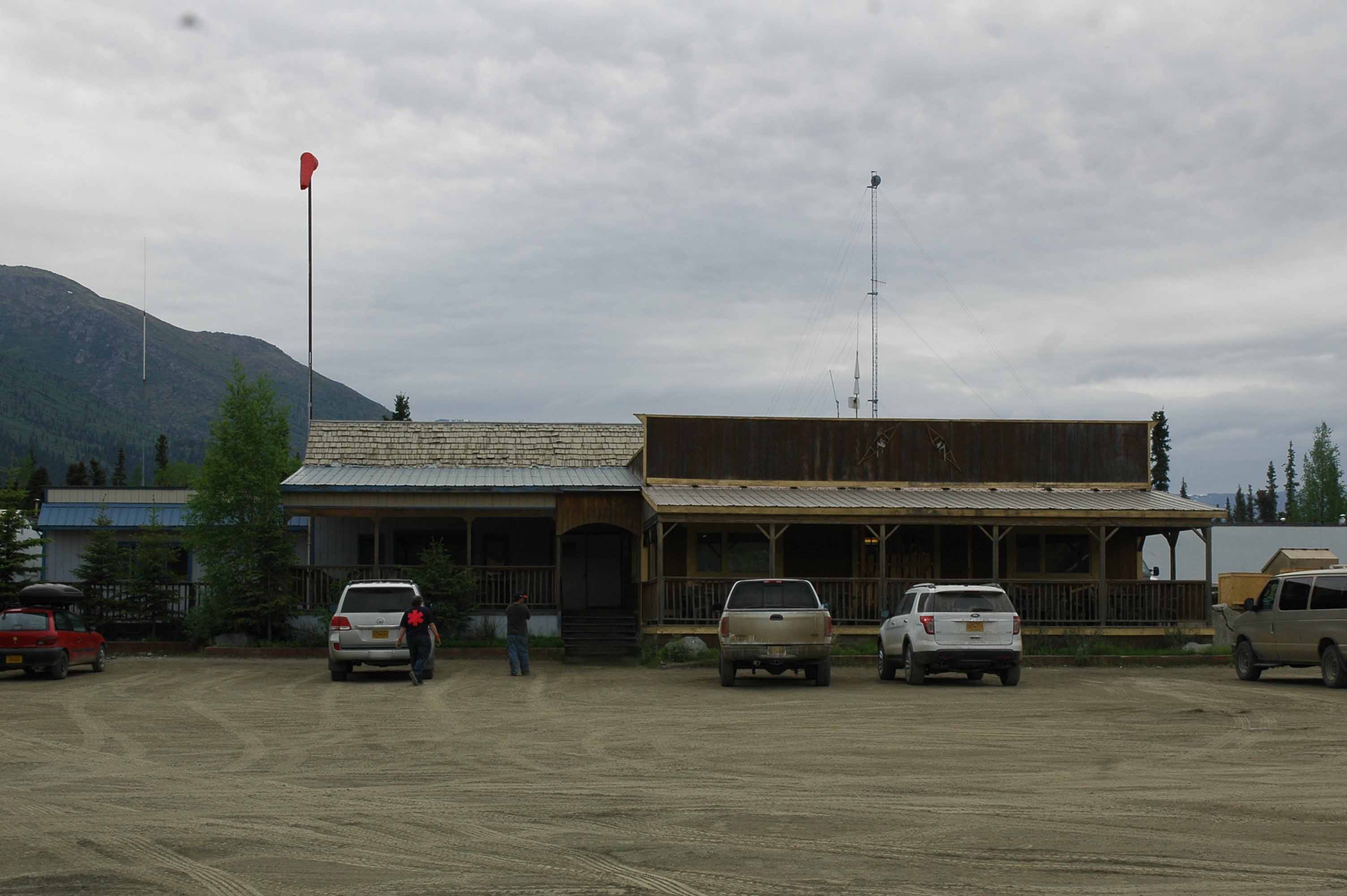
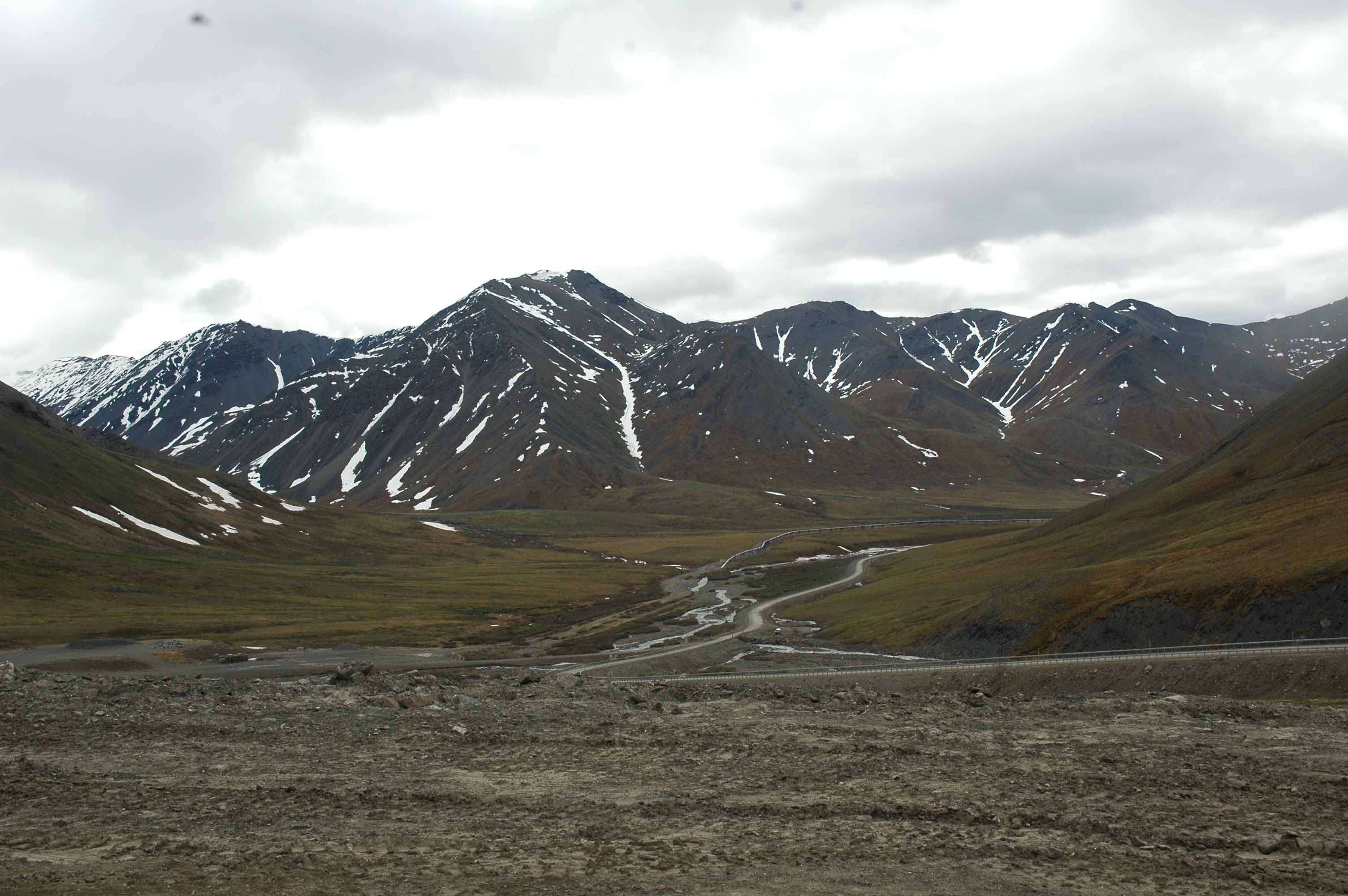
When we were in Coldfoot Camp they served a beer called Coldfoot Ale from the Silver Gulch Brewery. Of course since we were in Fairbanks, I had to check it out. They do a good job.
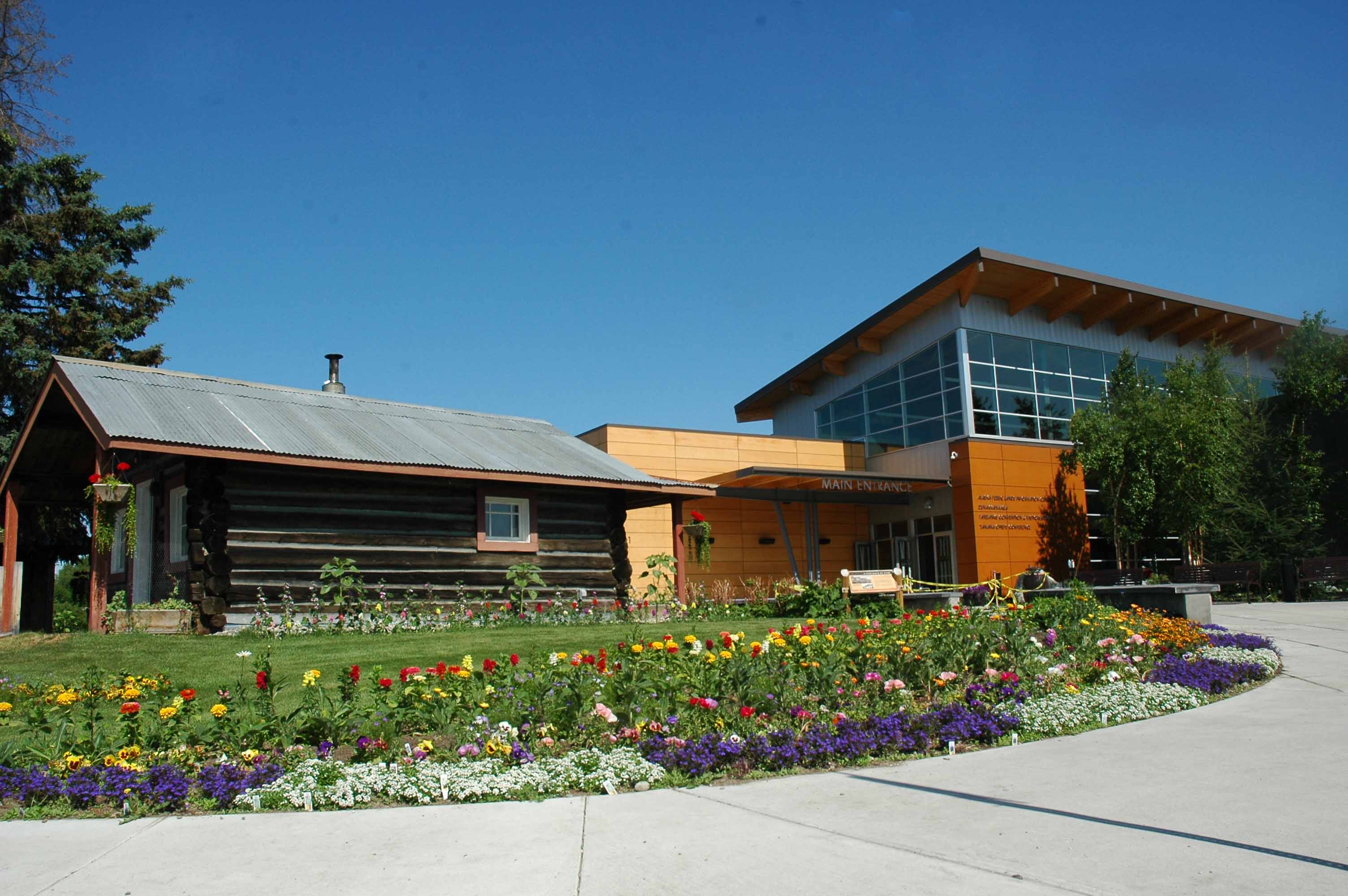
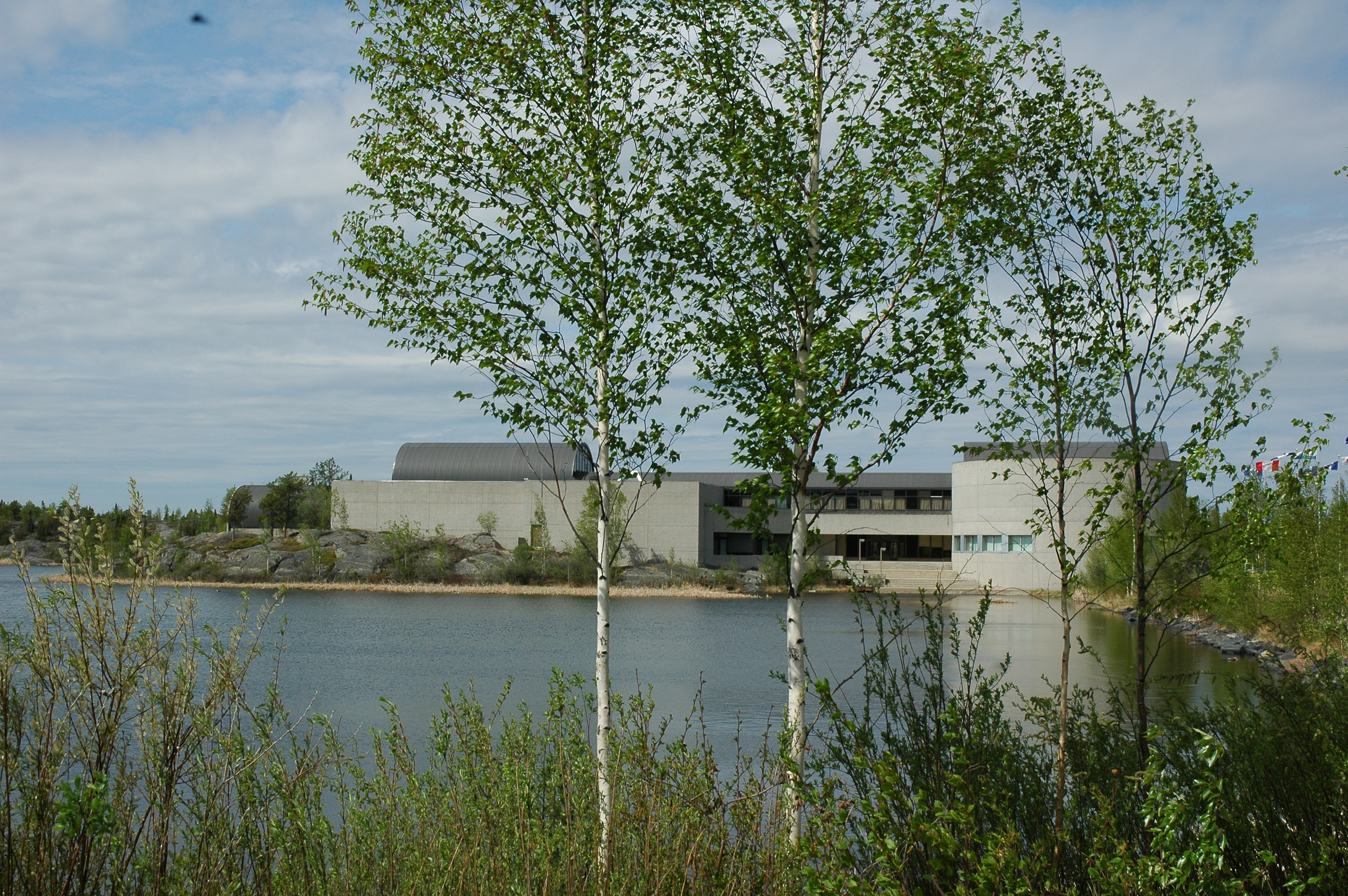
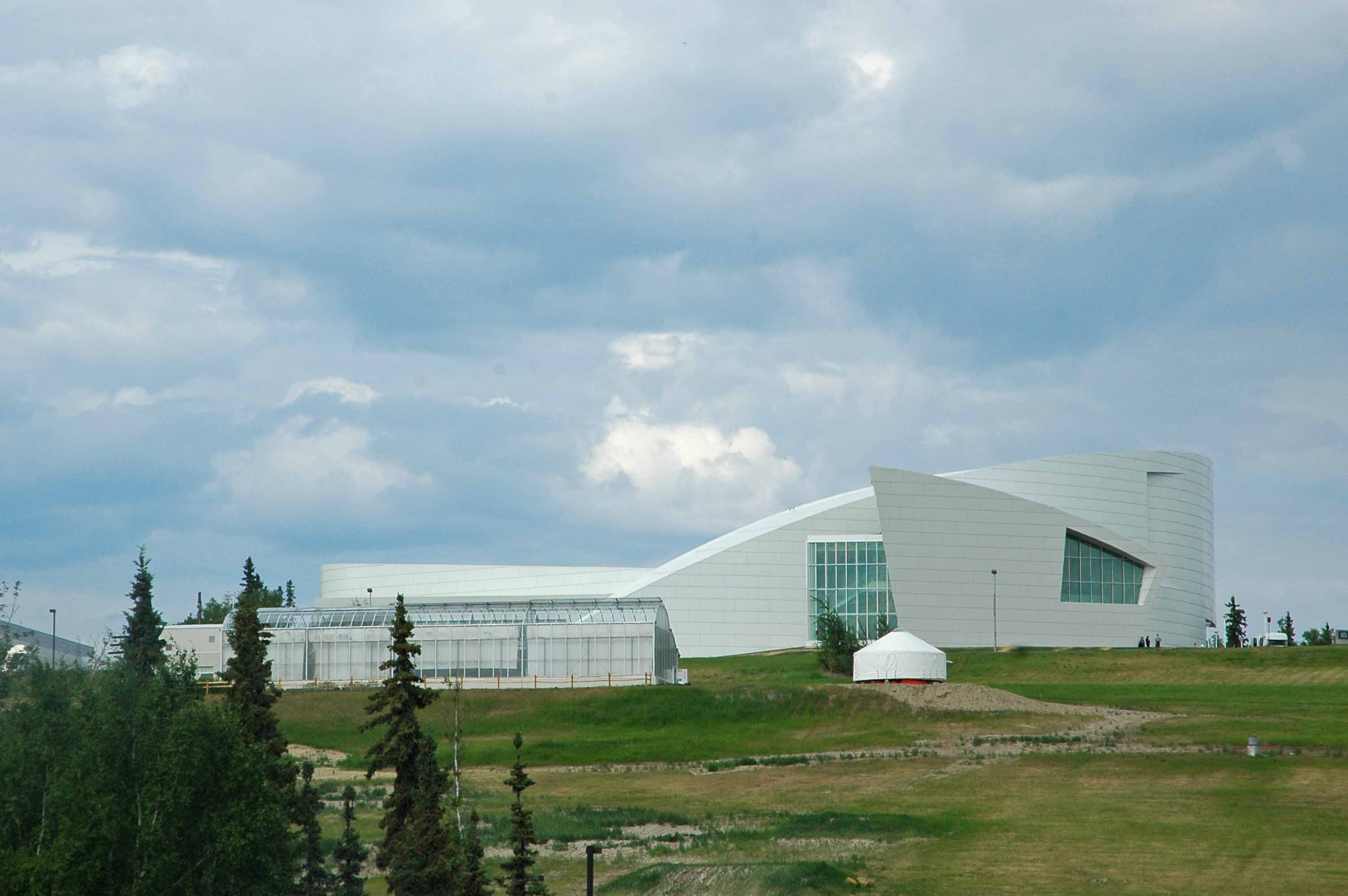
Fairbanks Visitor and Cultural Center
Fairbanks has an outstanding visitor center and cultural museum. We really enjoyed our time there and would recommend it as a must do.
University of Alaska Fairbanks – Cultural Museum
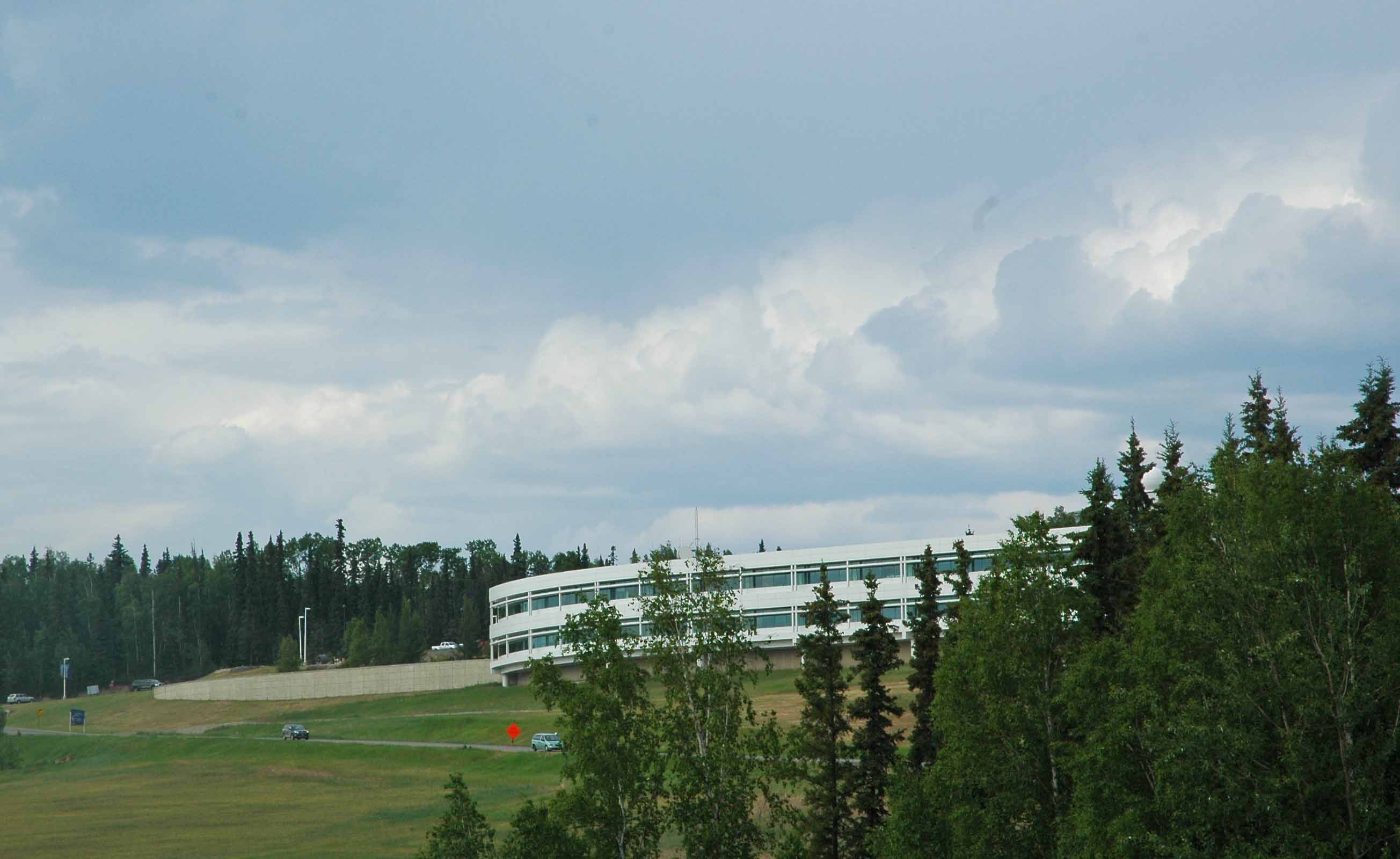
University of Alaska Fairbanks
The University of Alaska Fairbanks has a fine cultural museum. We hit it just right and got a behind the scenes tour with one other couple. The museum has a lot to offer and we could have spent more time there as well.
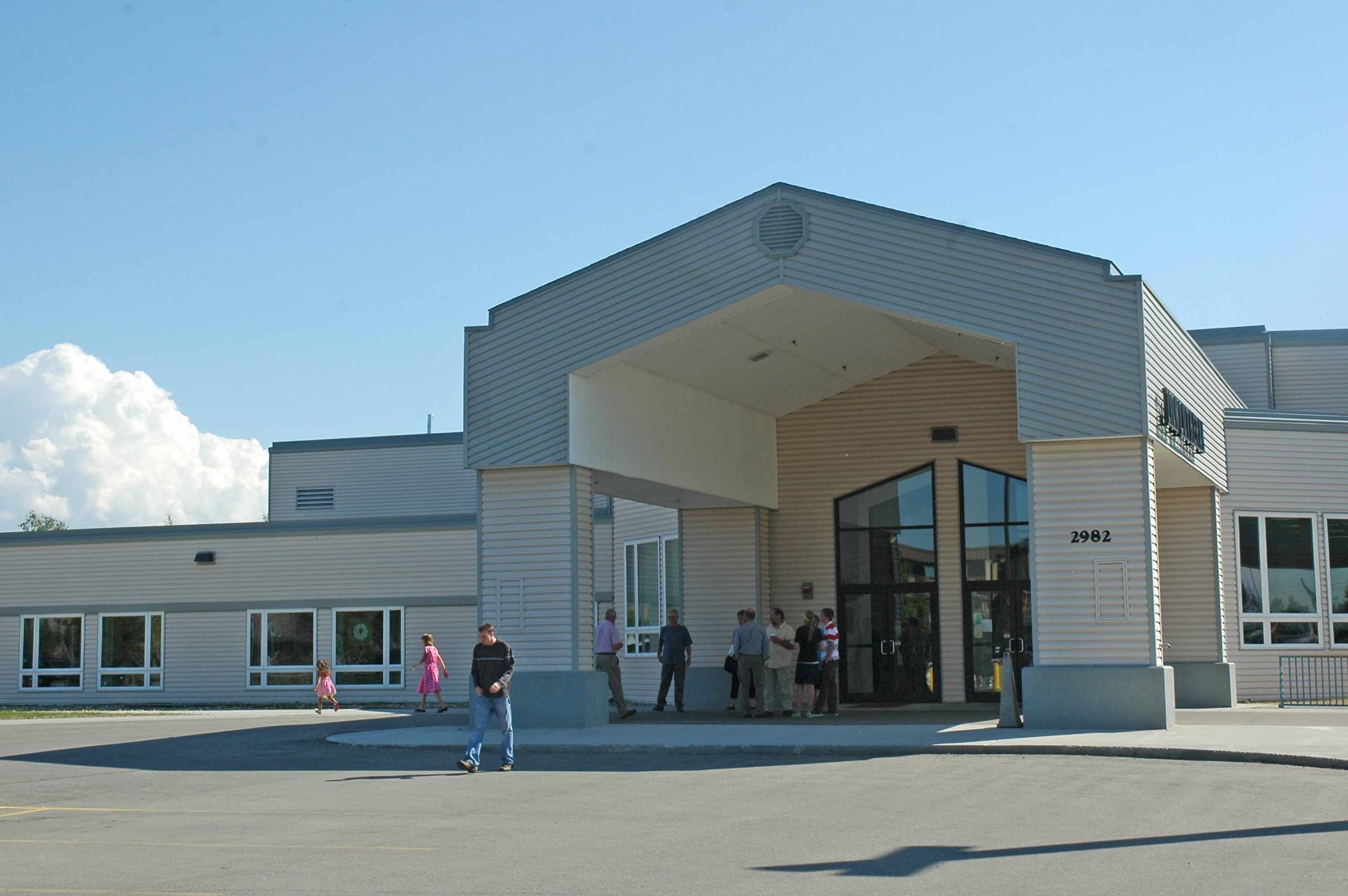
Zion Lutheran Church – Fairbanks, Alaska
So far on this trip our Sunday schedule did not match either time or place to take in a local church. We finally made it work here at the Zion Lutheran Church. It was a very dynamic upbeat experience both with the worship service and the outgoing members of the congregation.
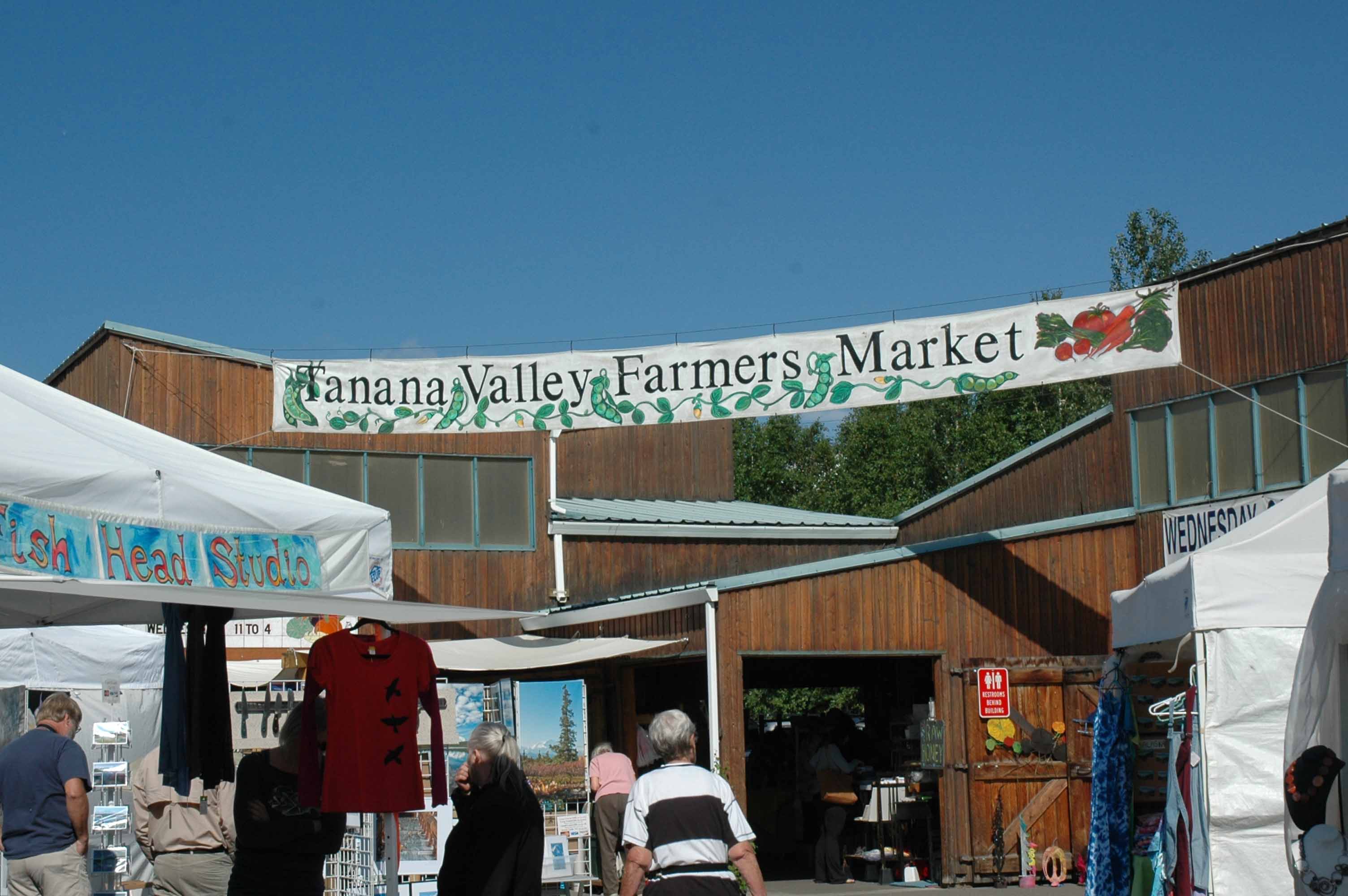
Tanana Valley Farm Market
Of course checking out farmer’s markets is always a favorite pastime for us.
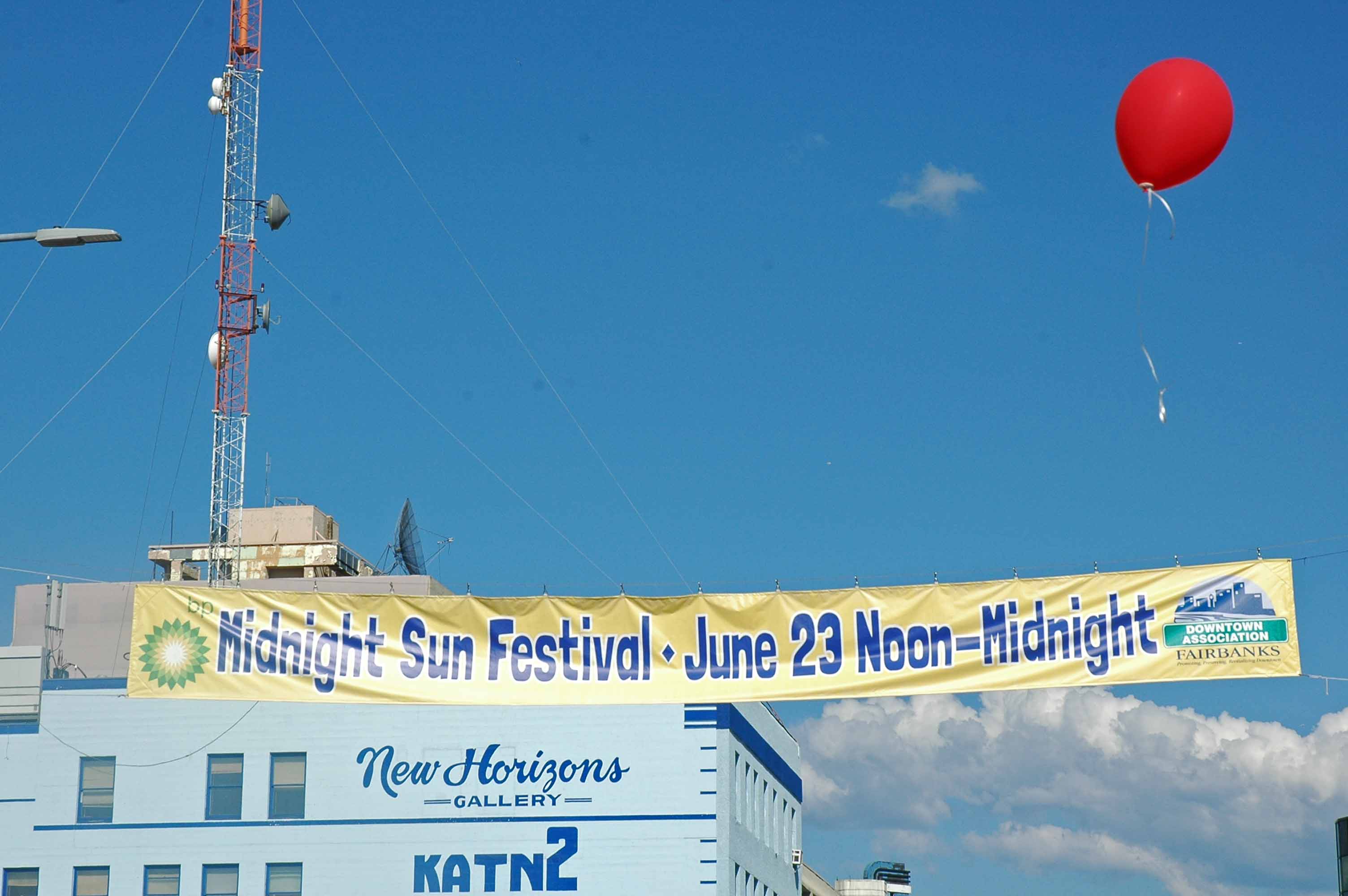
Midnight Sun Festival – “The big event in Fairbanks”
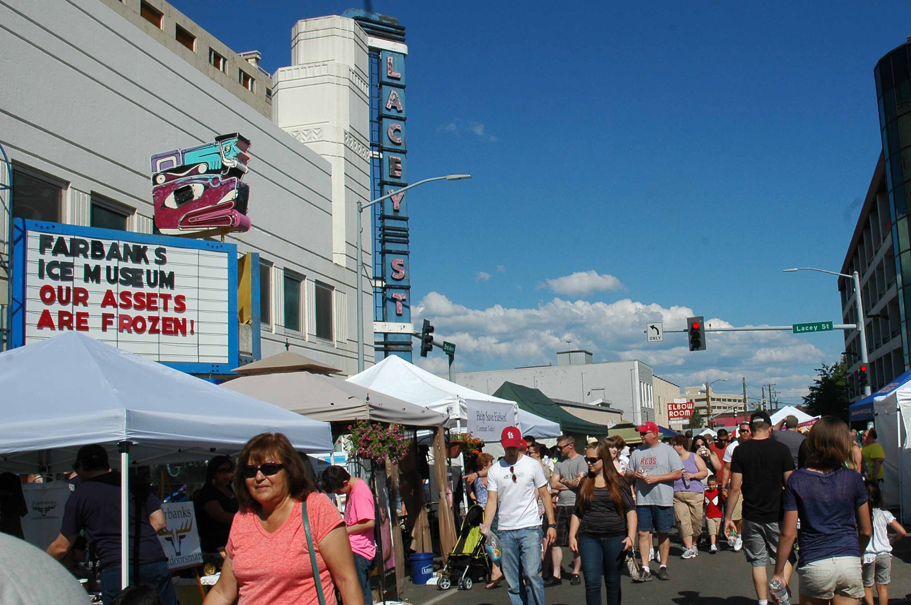
Midnight Sun Festival – Working the crowd
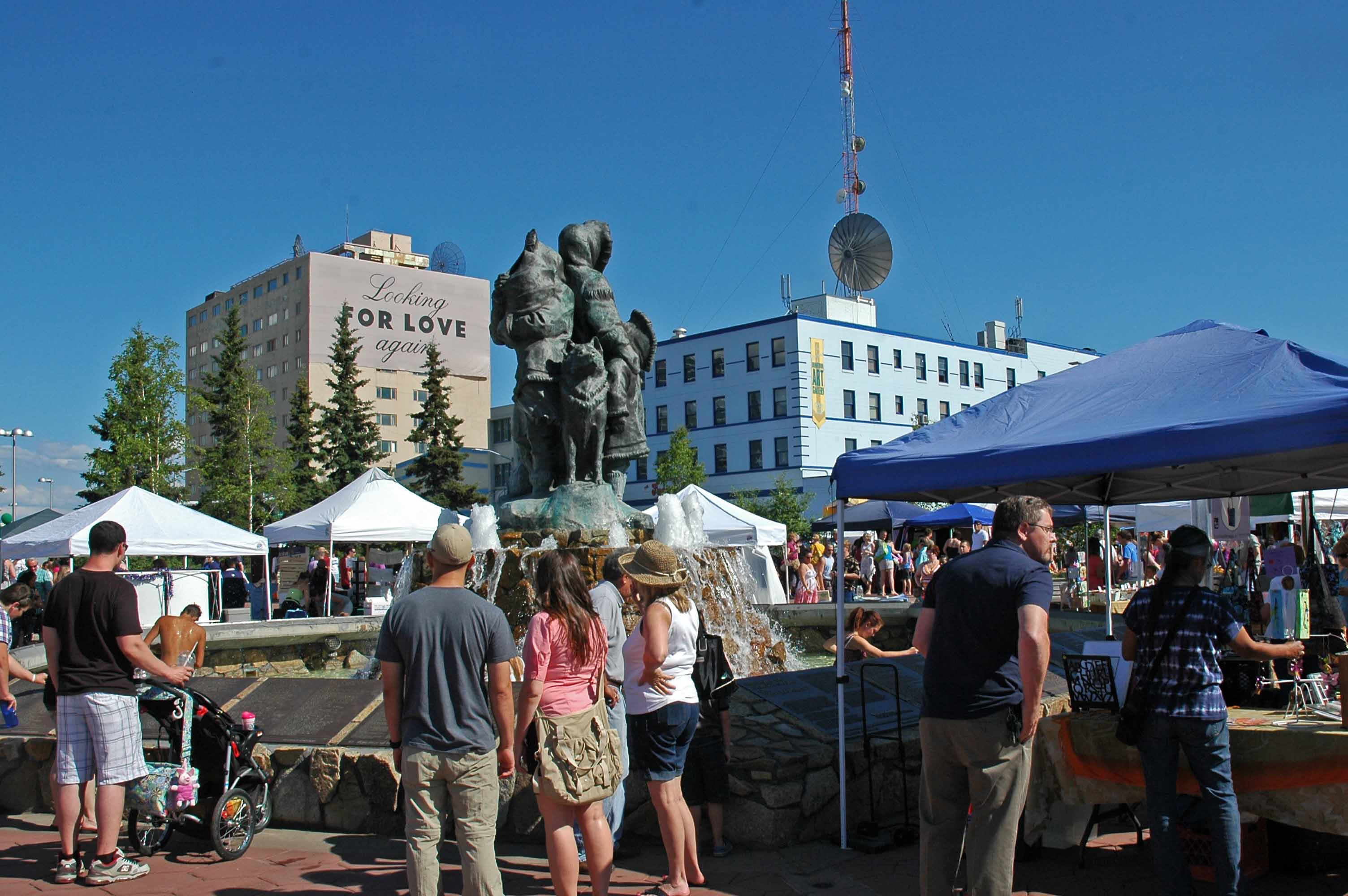
Midnight Sun Festival – Yes, there are lots of people!
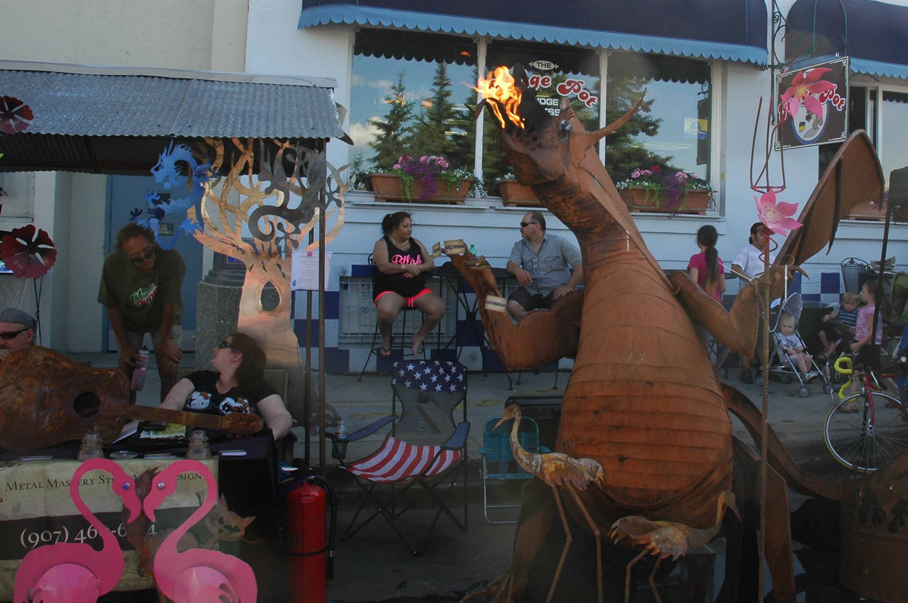
Midnight Sun Festival Vendor
The “big” annual event here is the summer solstices Midnight Sun Festival. It ran from noon to midnight and there were thousands of people. Lots of vendors with crafts, food, services and yes some political booths as well.
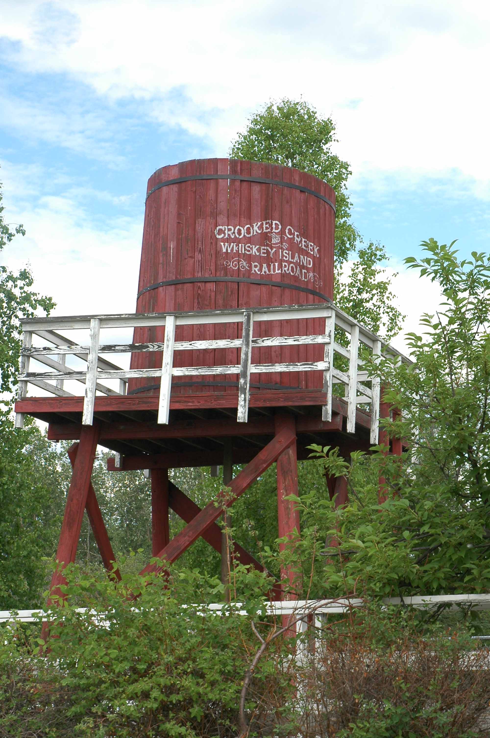
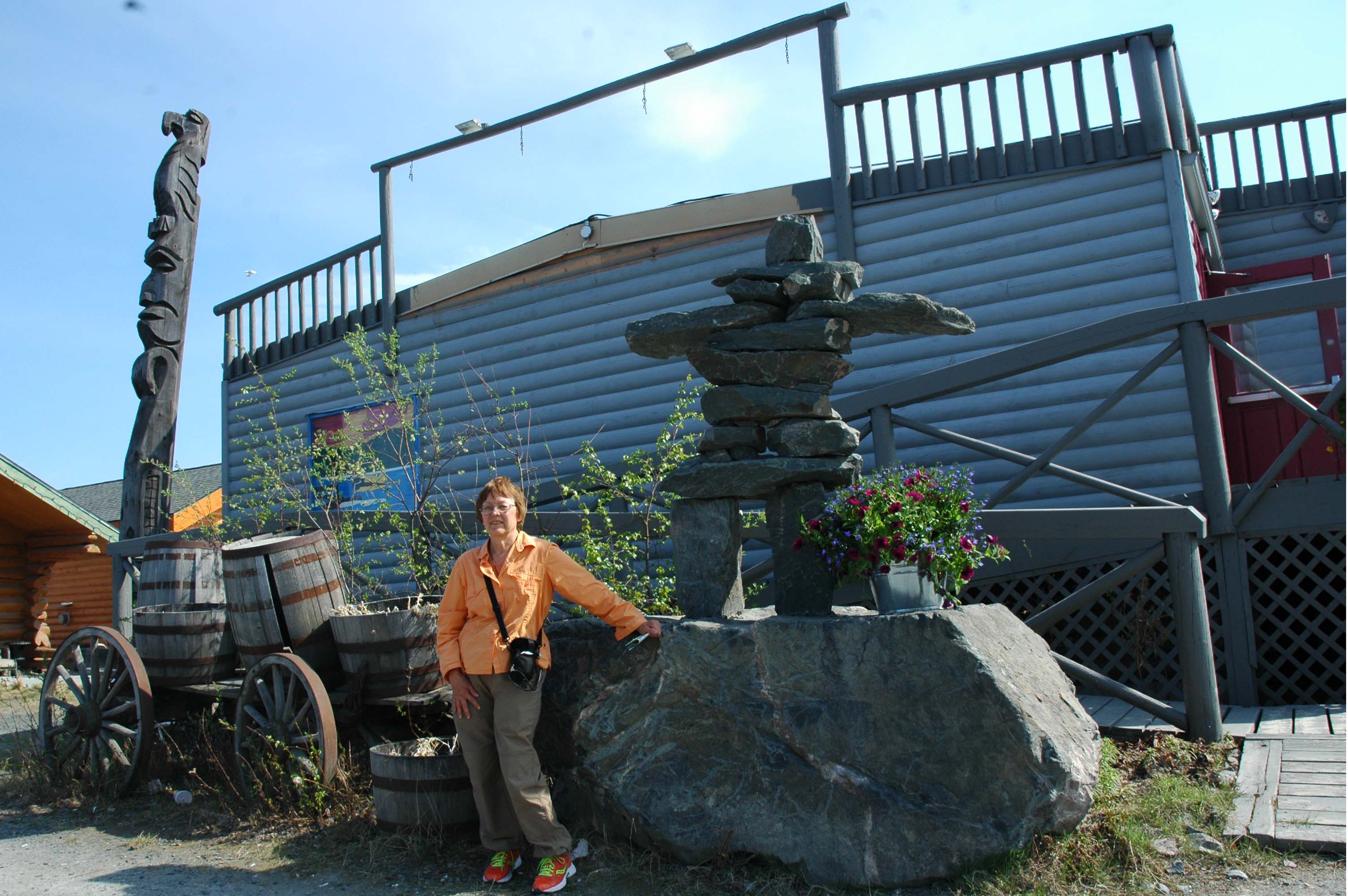
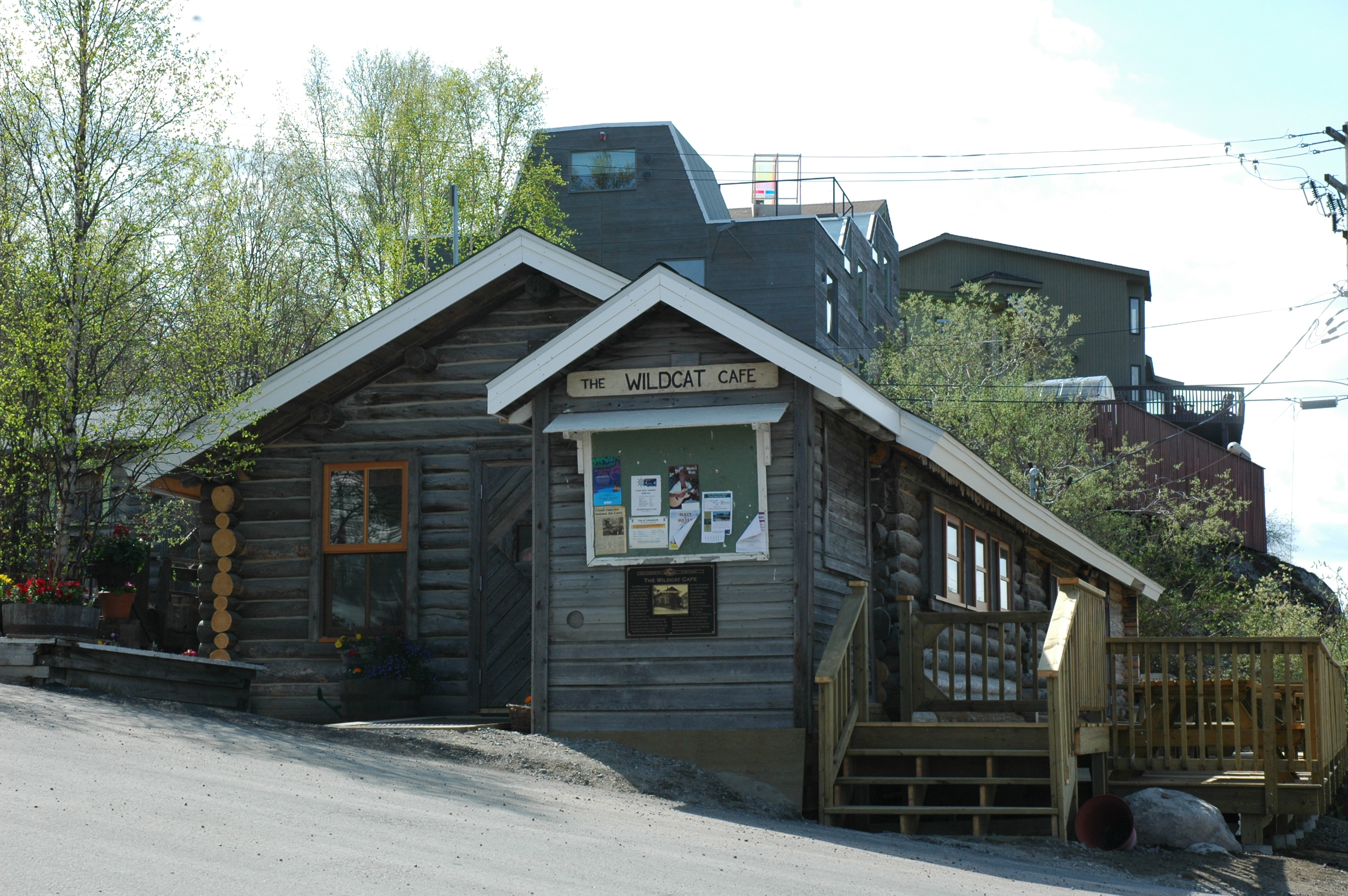
Pioneer Village
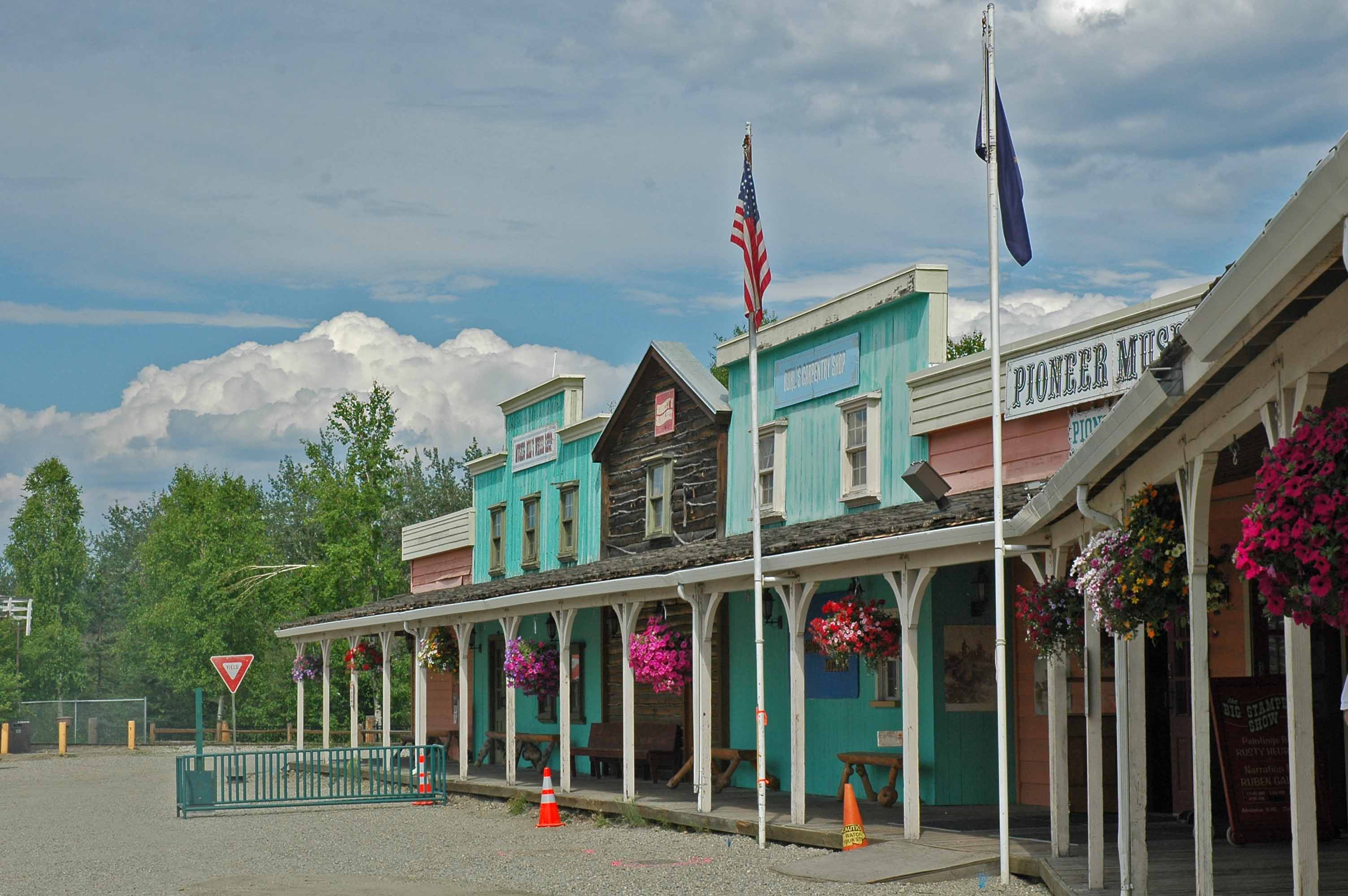
Pioneer Village
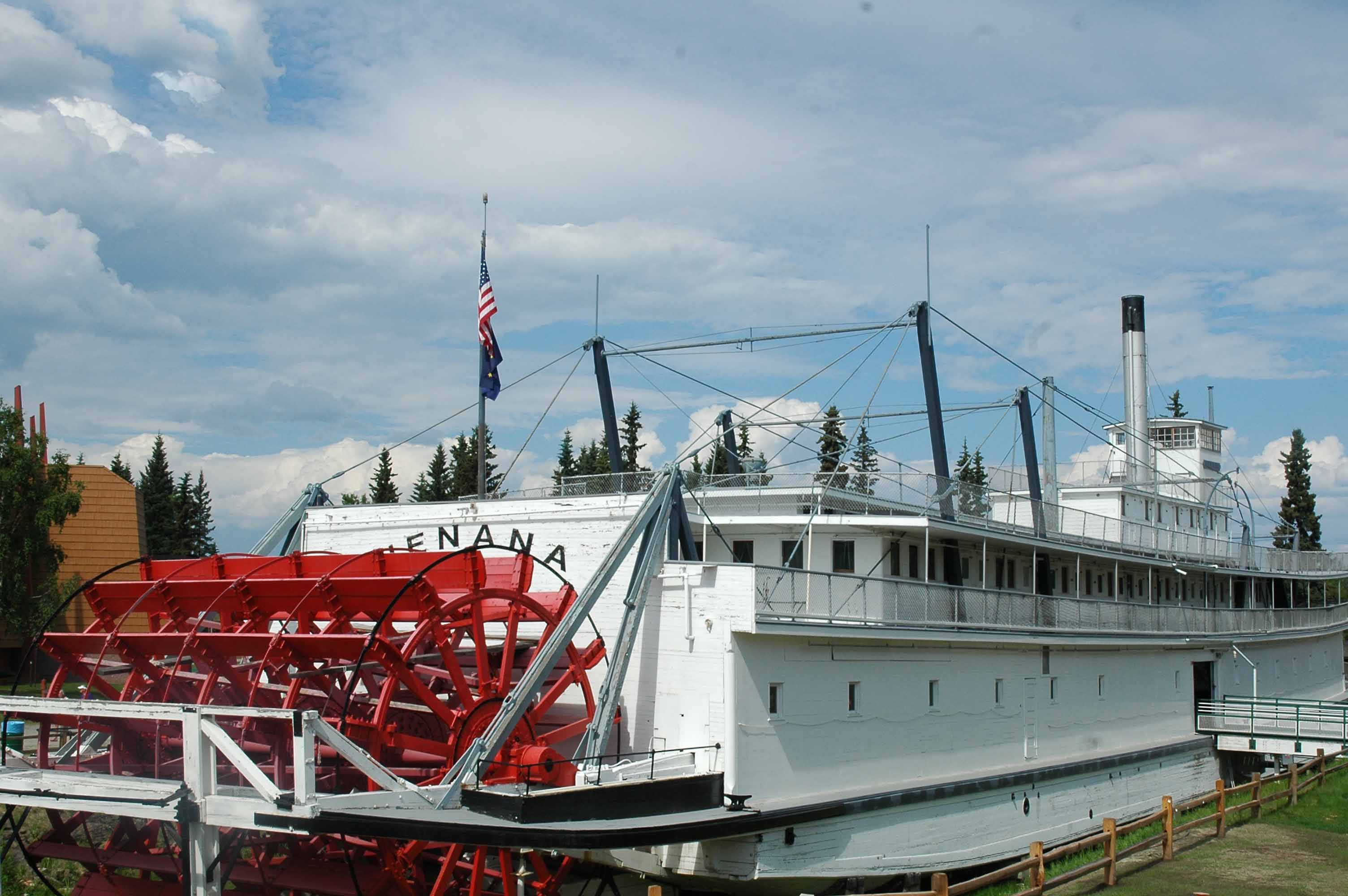
Pioneer Village
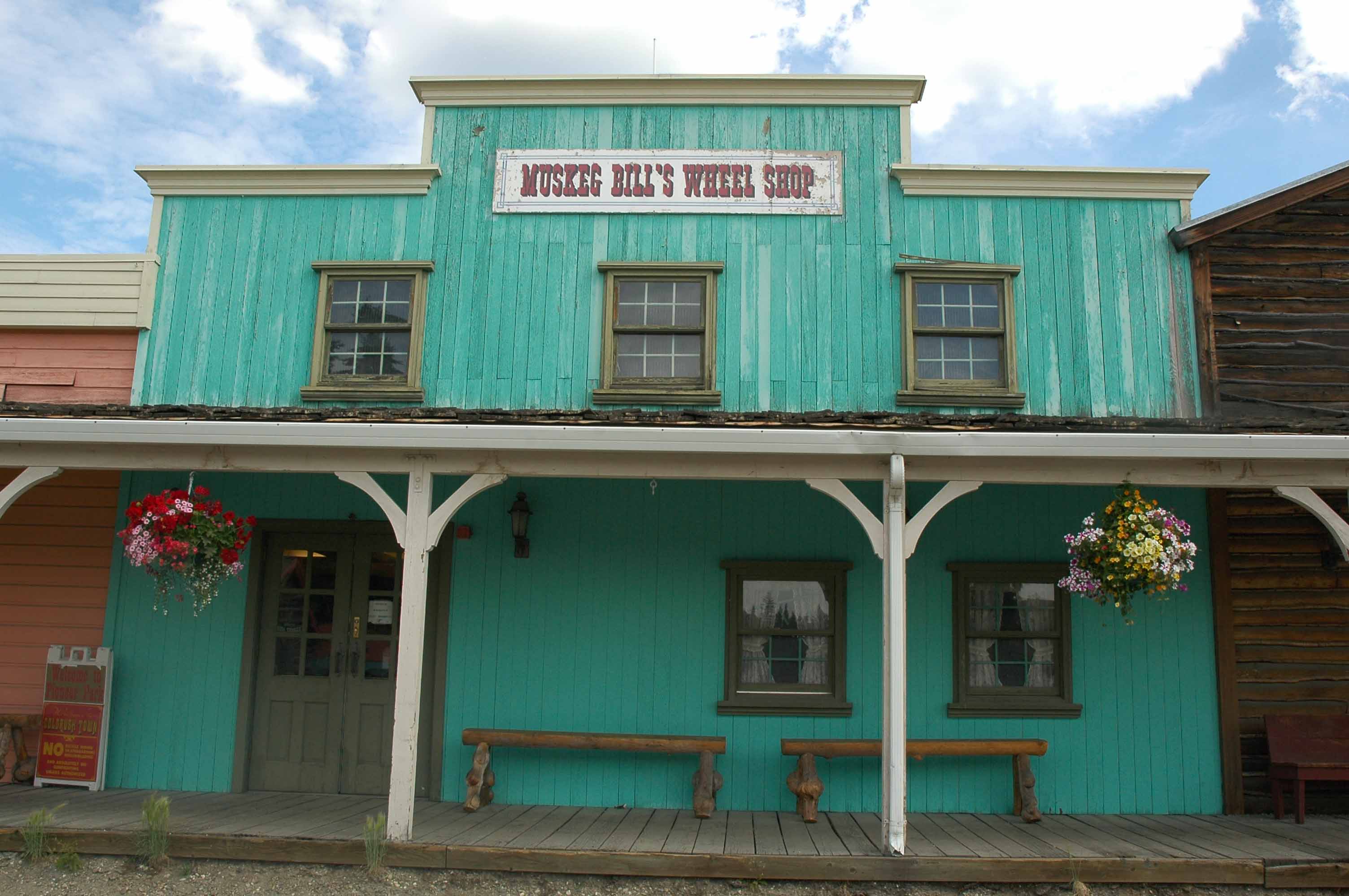
Pioneer Village
Fairbanks answer to a theme park is Pioneer Village. It was a great place to spend an afternoon. There are plenty of shops and museums. The park was created for the Fairbanks Centennial in 1967 using old buildings from downtown.
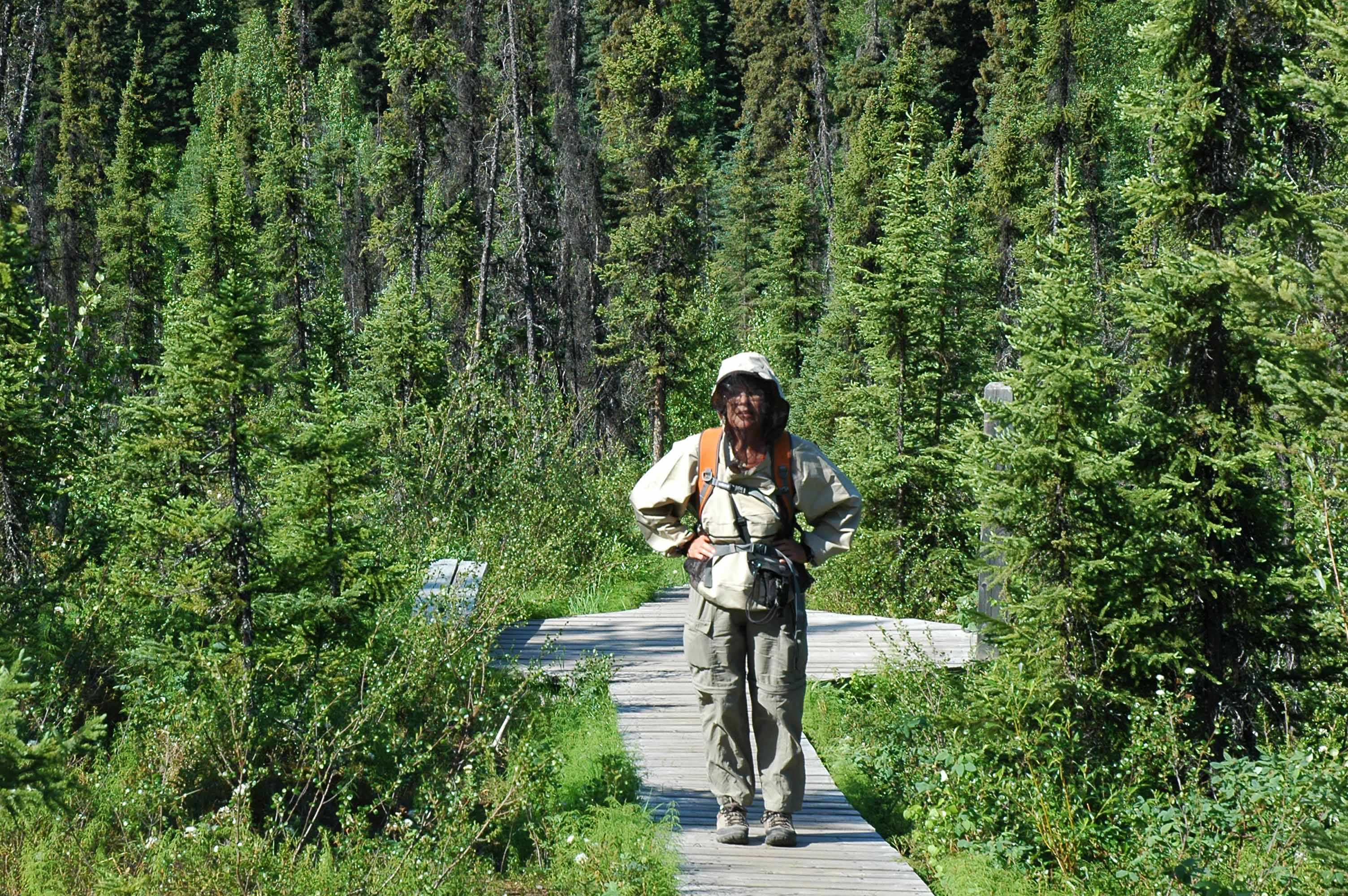
Yes, Here is proof the bug jacket worked
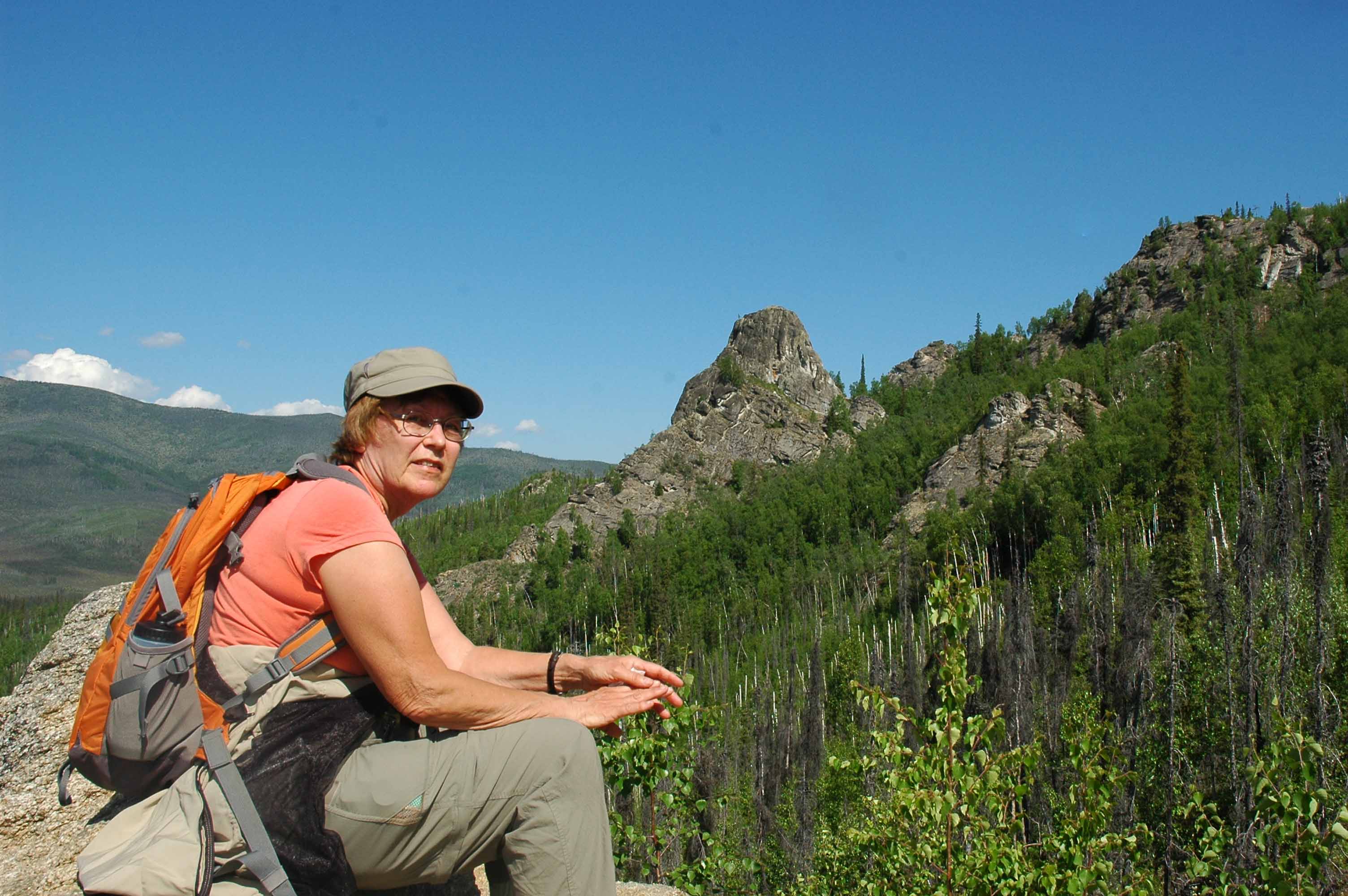
Recovering after a steep hike on the Angel Rock Trail
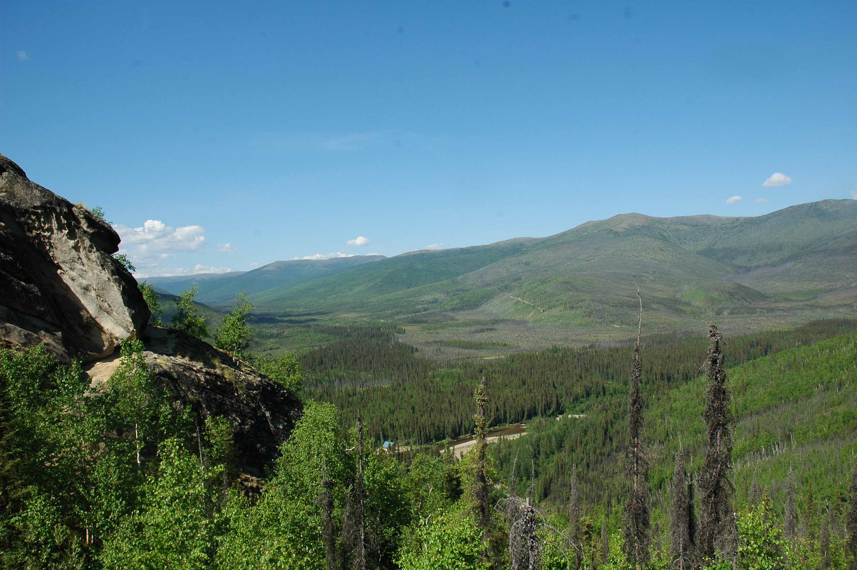
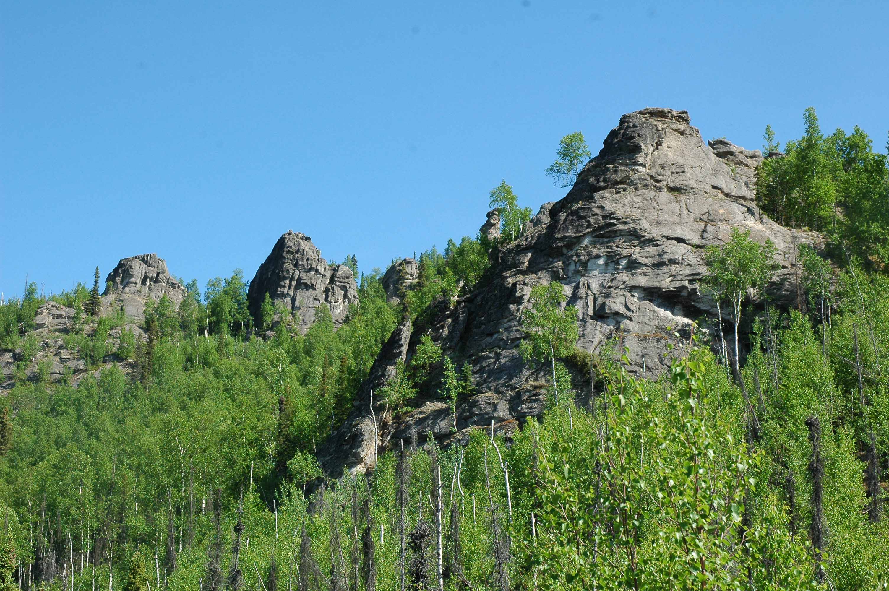
Chena River Recreation Area – Angel Rock Trail View
Chena River Recreation Area – Angel Rock Trail Photo
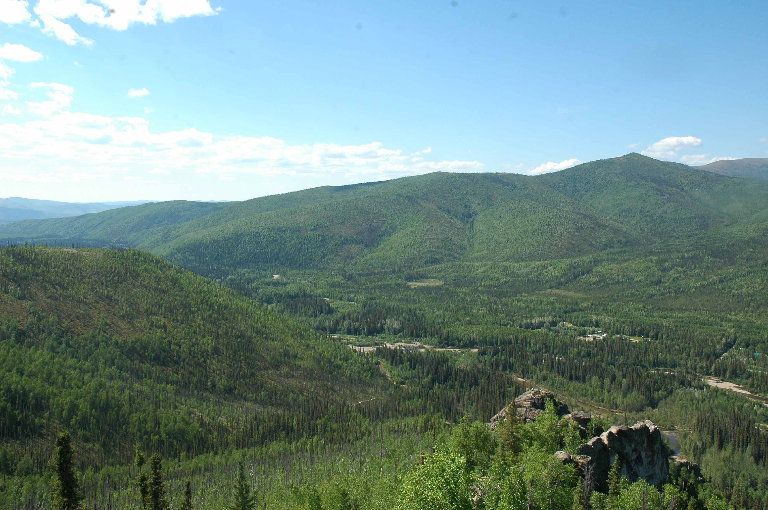
Chena River Recreation Area – Cool View
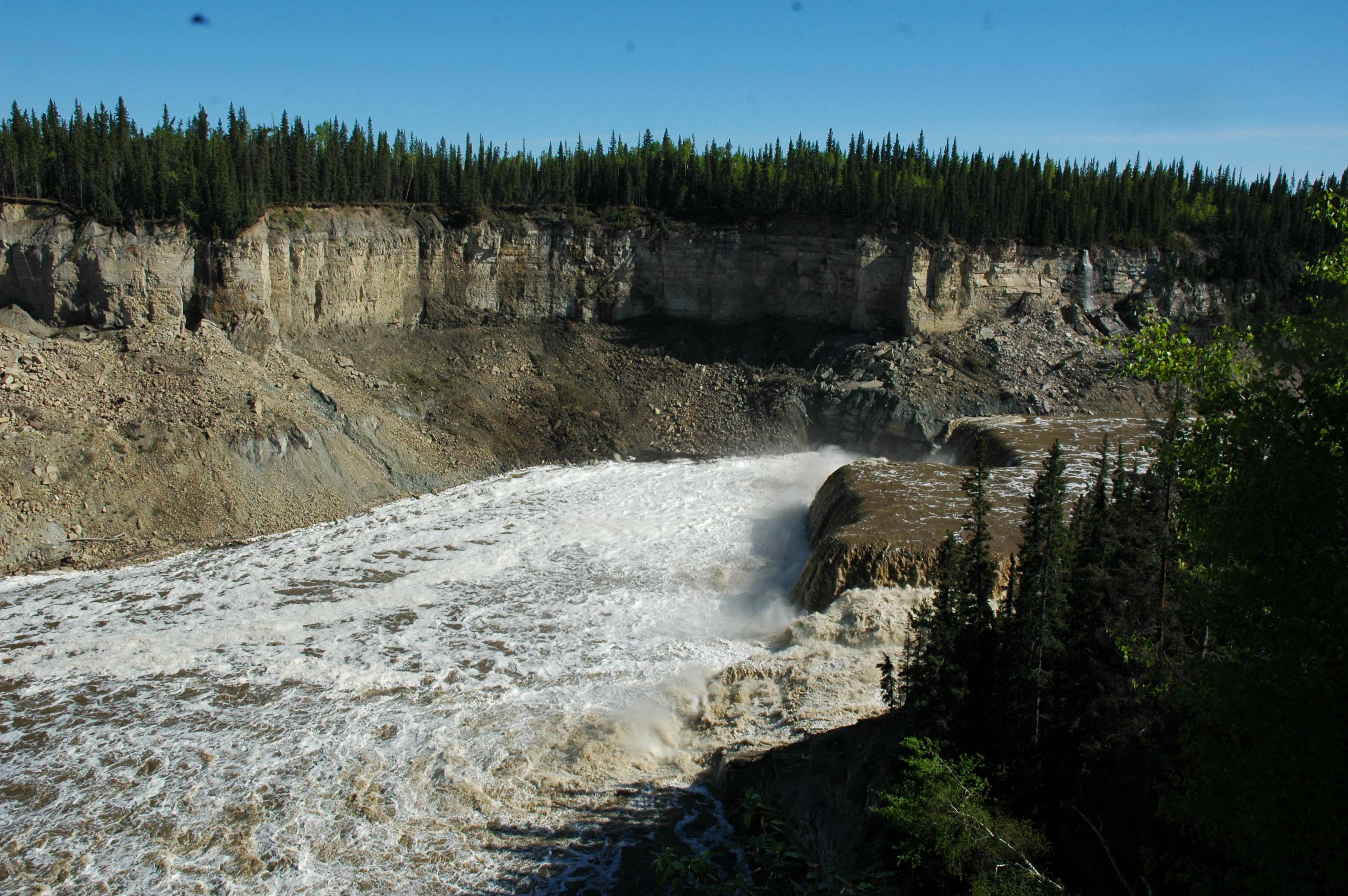
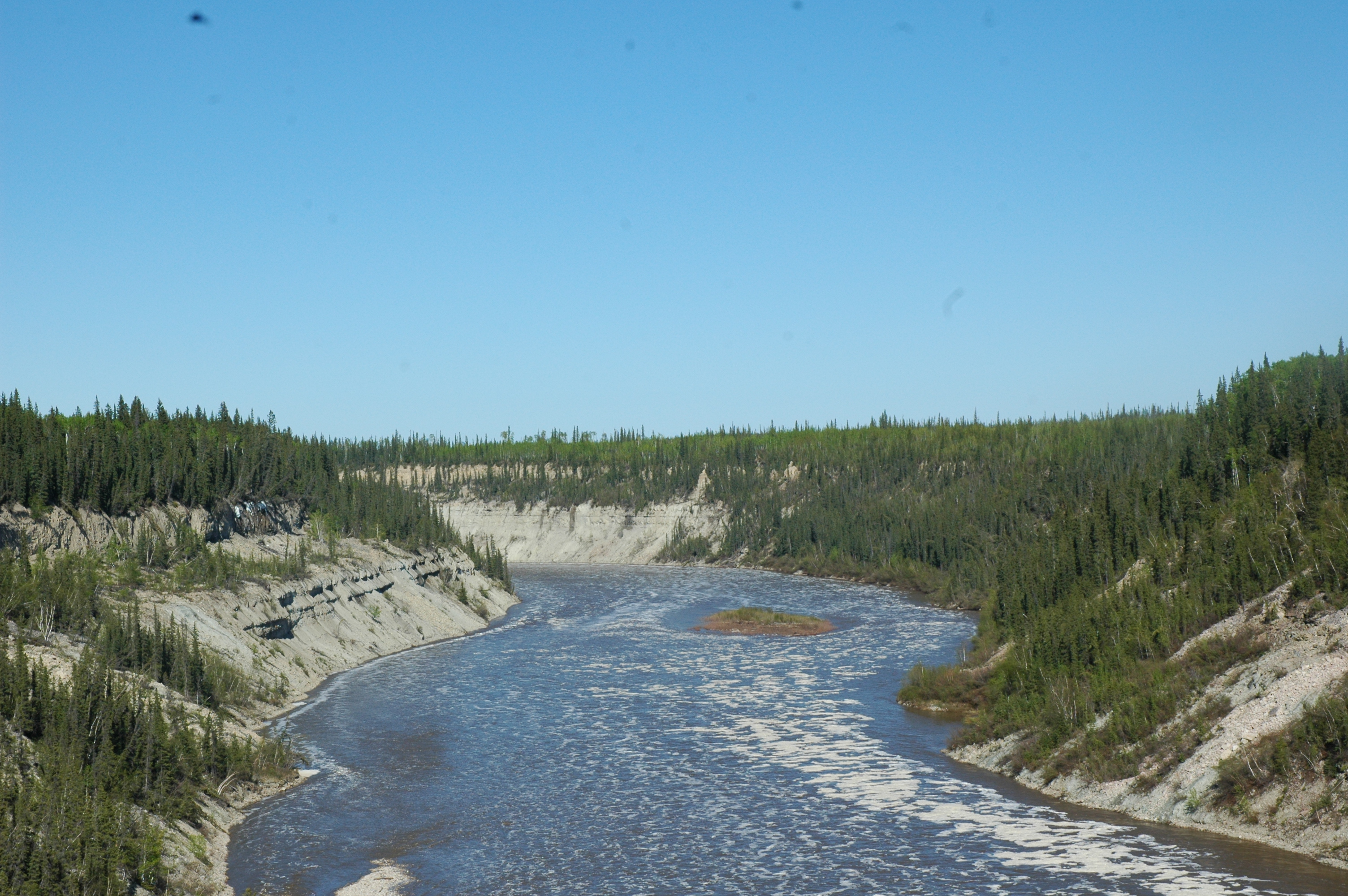
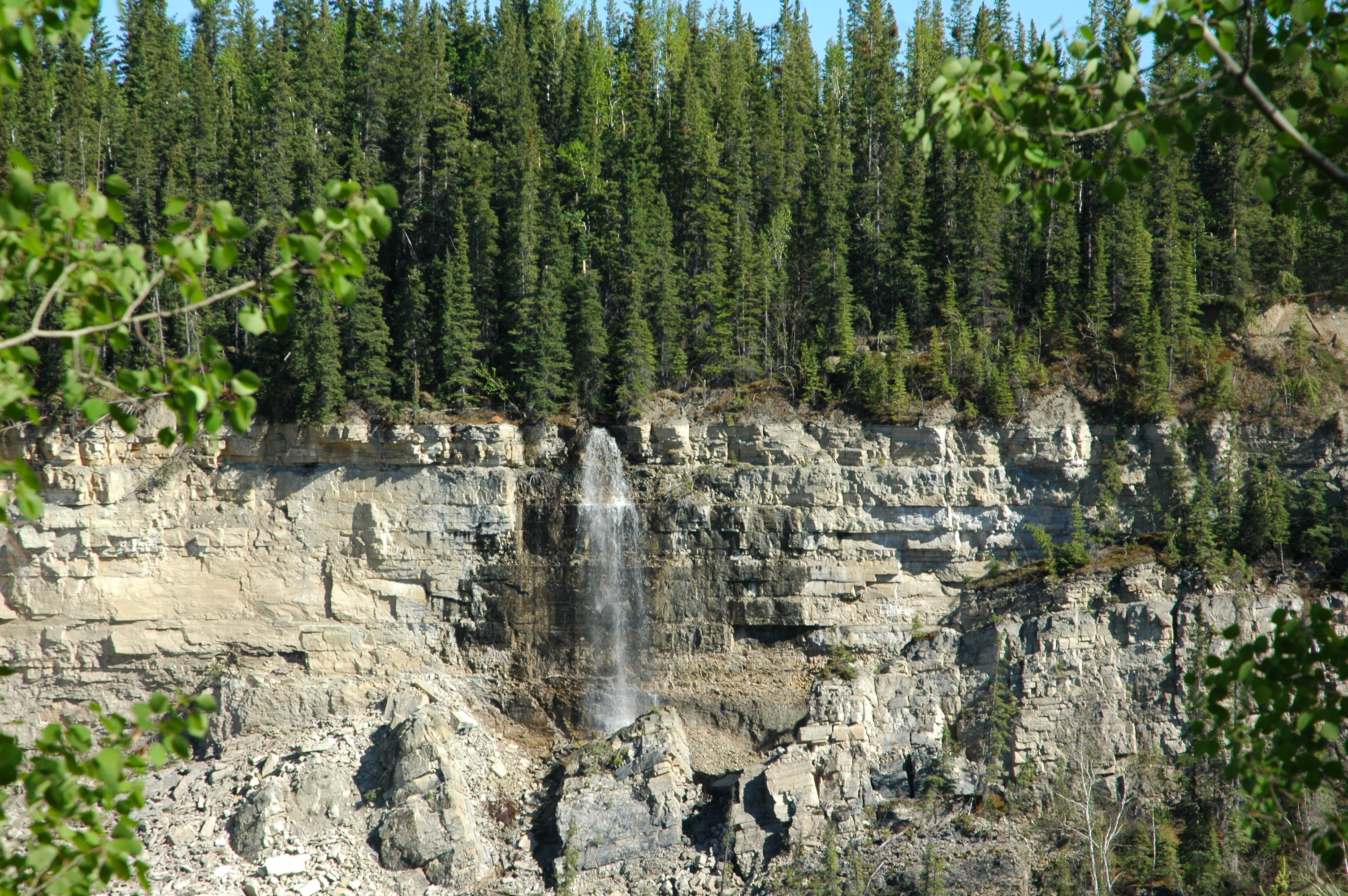
We did a trip out/up to the Chena Hot Springs. There was not enough time to take it in but there are plans to catch a hot springs or two later in the trip. The springs are located in the Chena State Recreation Area. They have some good hiking opportunities and we were looking for a good challenge. The selected trail was the Angel Rock Trail which climbs over 1,000 foot in the first mile. It was a great hike where we needed our new bug jackets to protect us from the hordes of mosquitoes. Once we got above the tree line we were good but getting there was a challenge. We also found out that we need to do a bit more training before the “next” challenge. Great views made the trip very worthwhile.
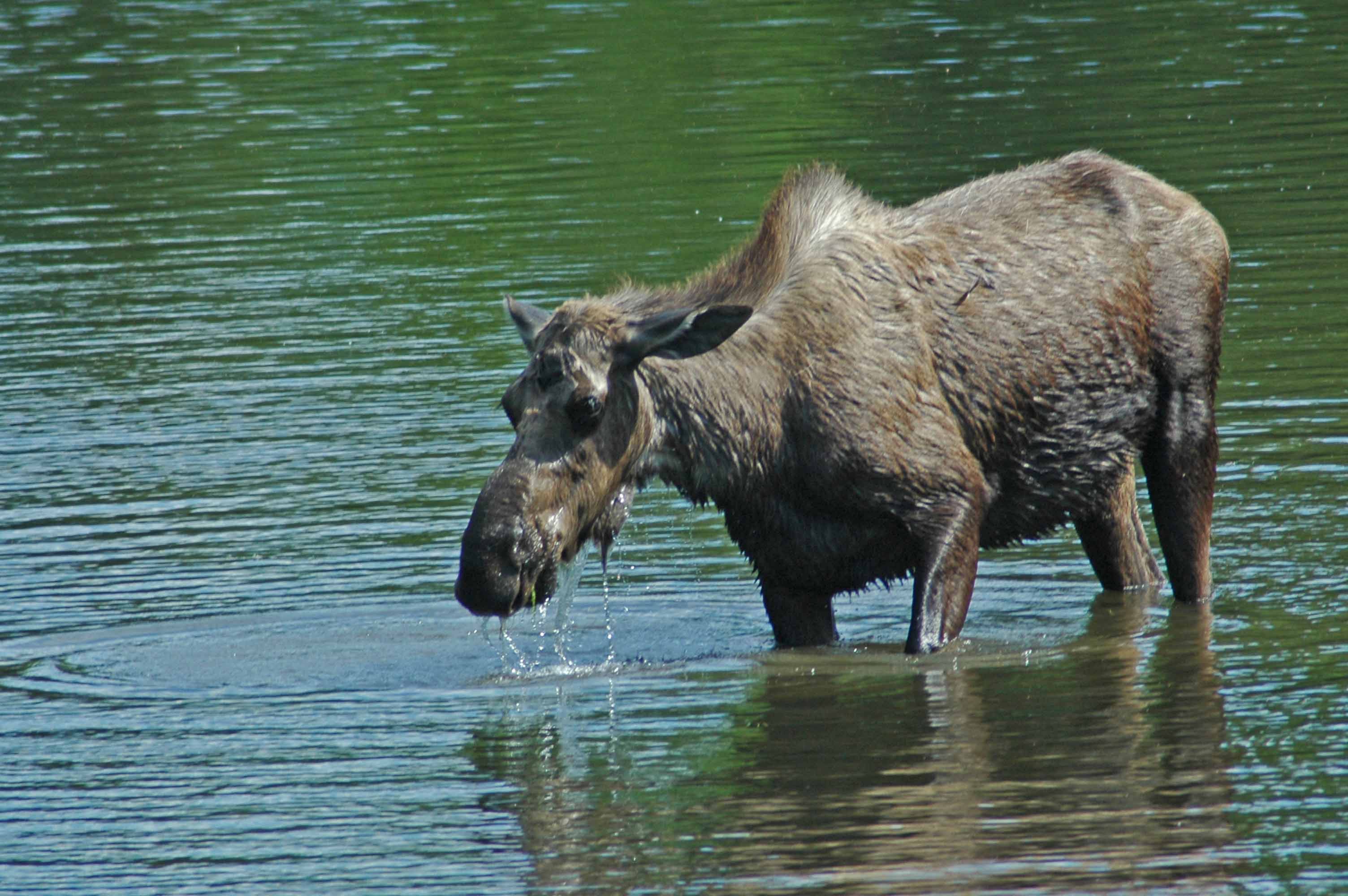
One Wet Moose Grazing in the Chena River
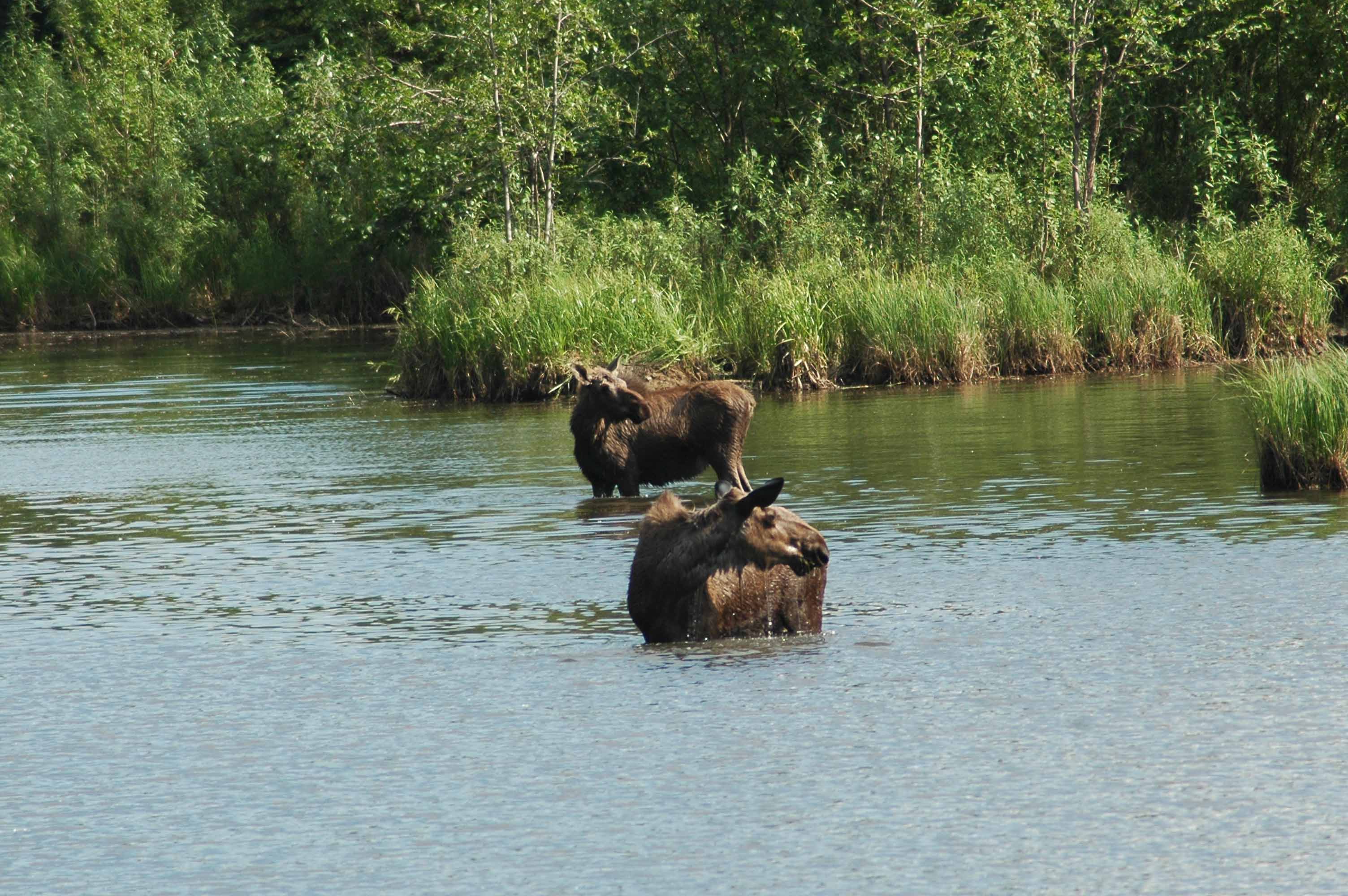
Moose Grazing in the Chena River
We found several moose grazing in the river. They kept getting closer so we had to move on…
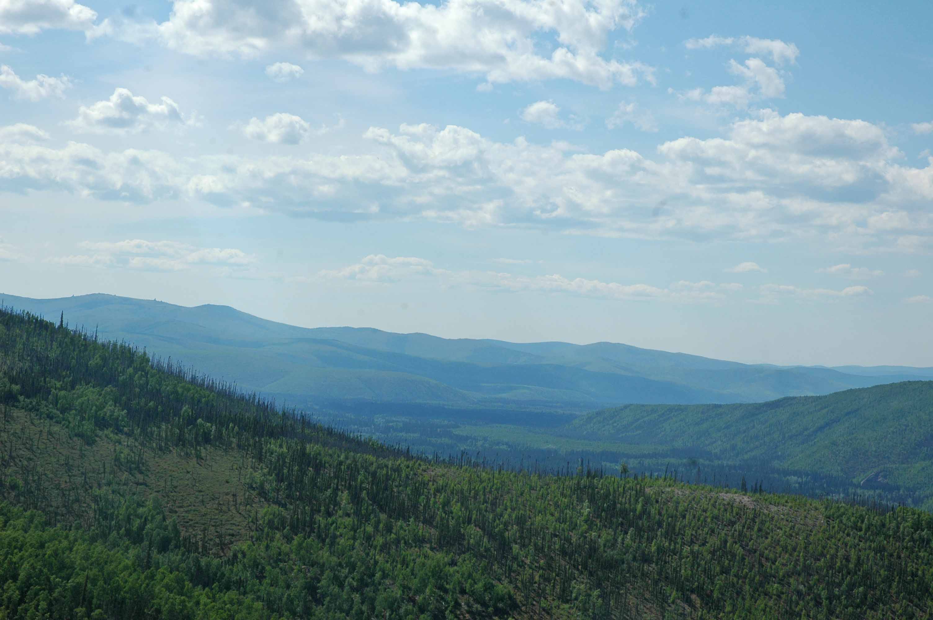
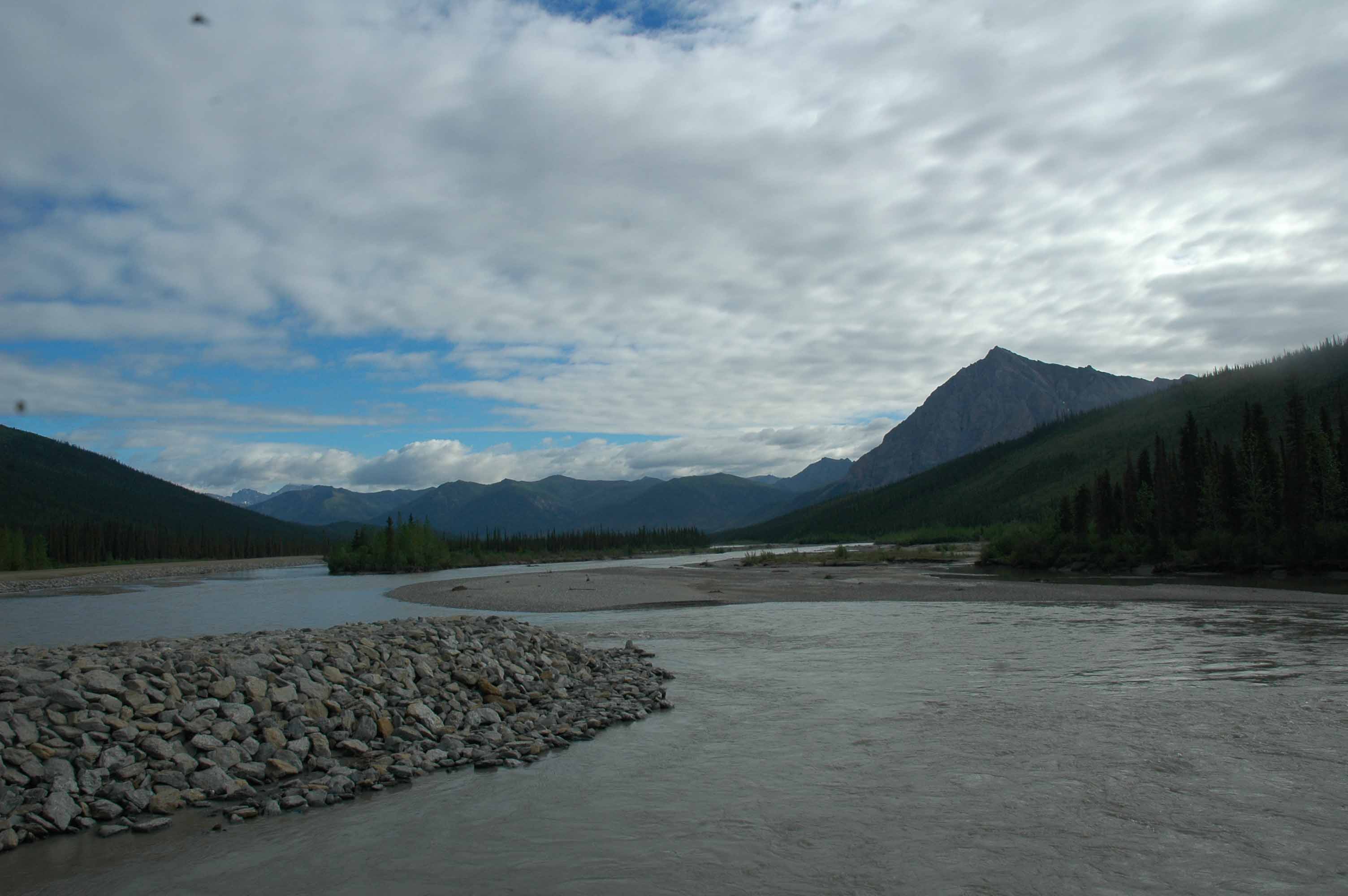
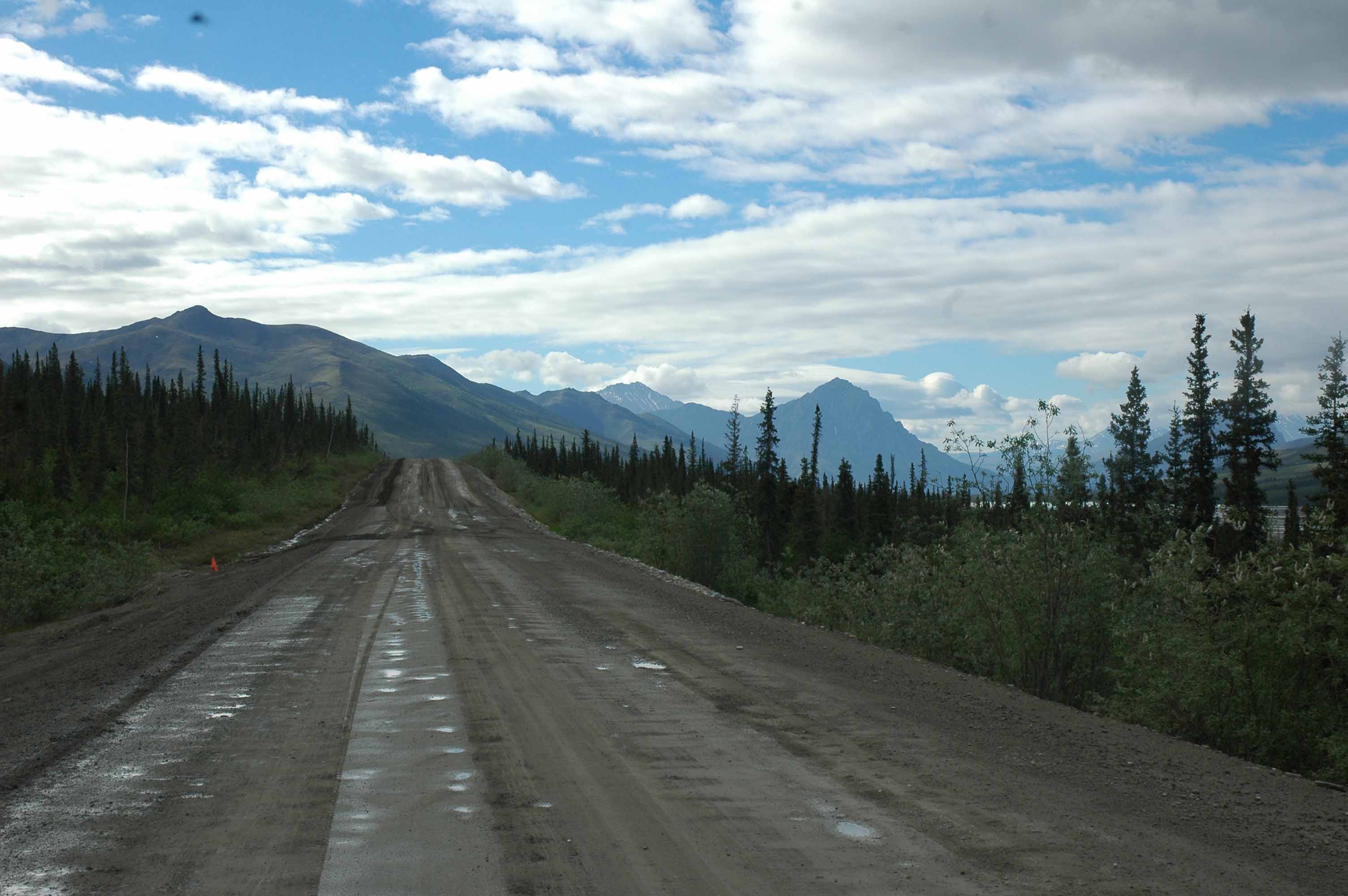
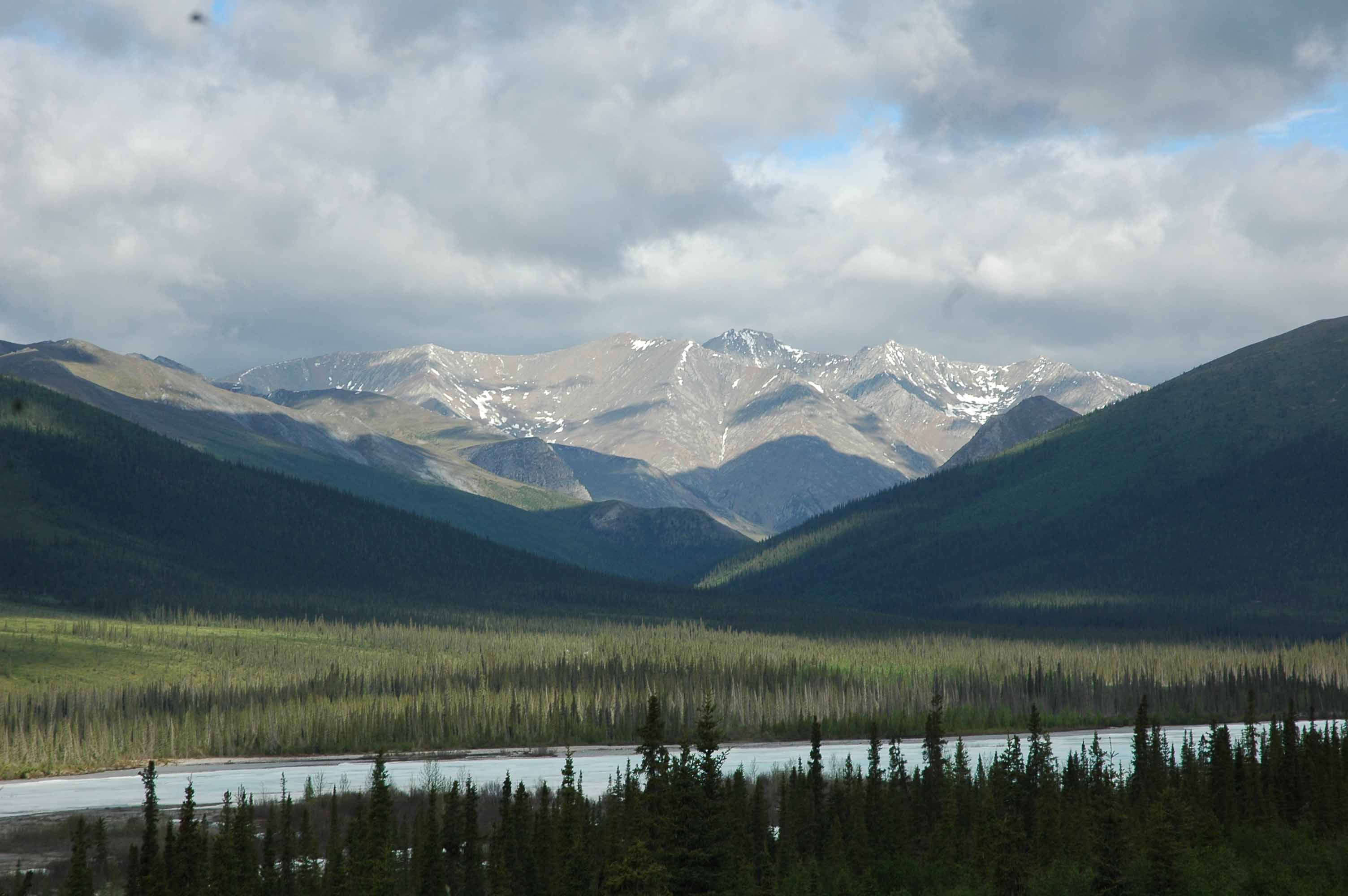
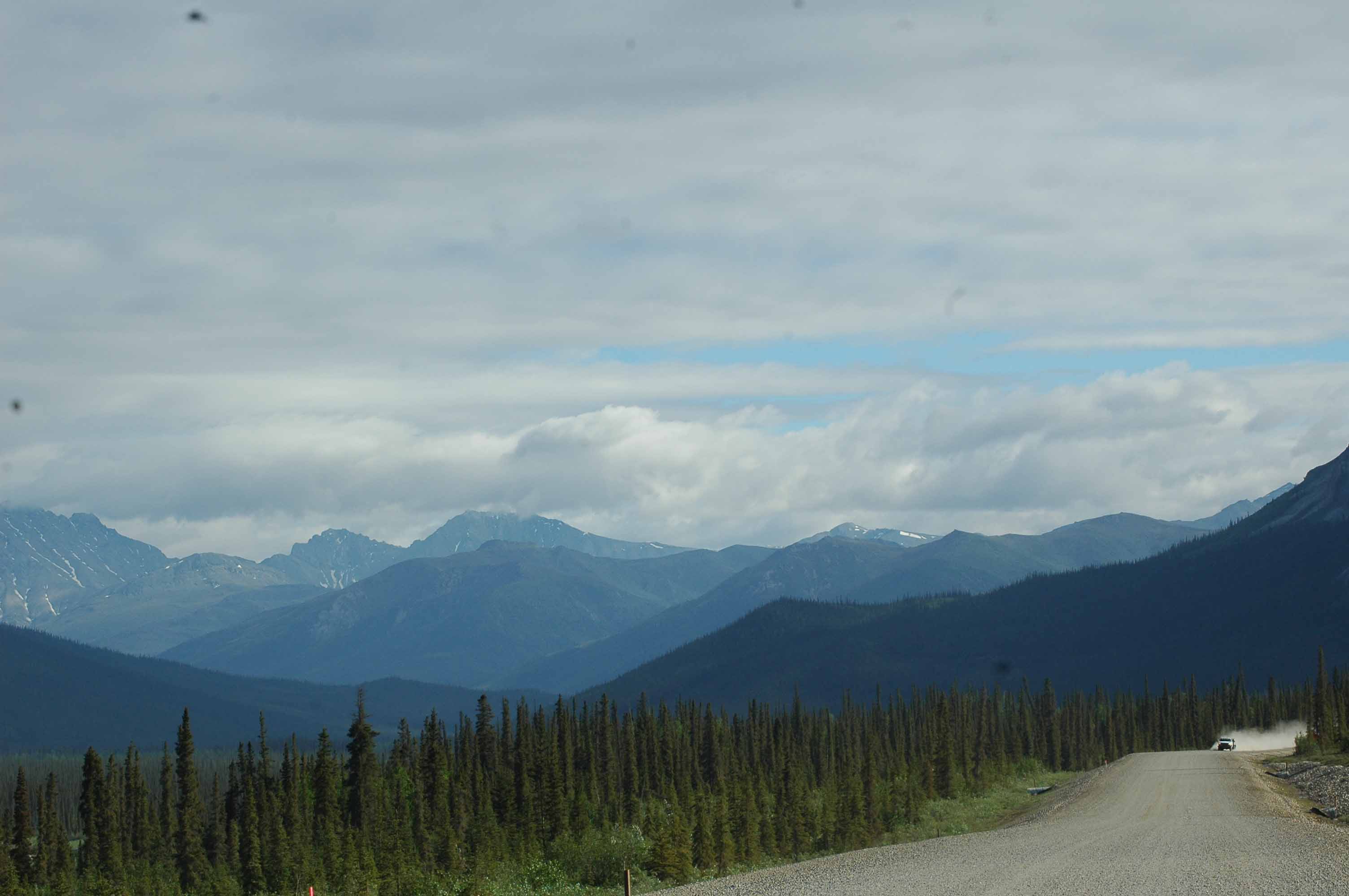
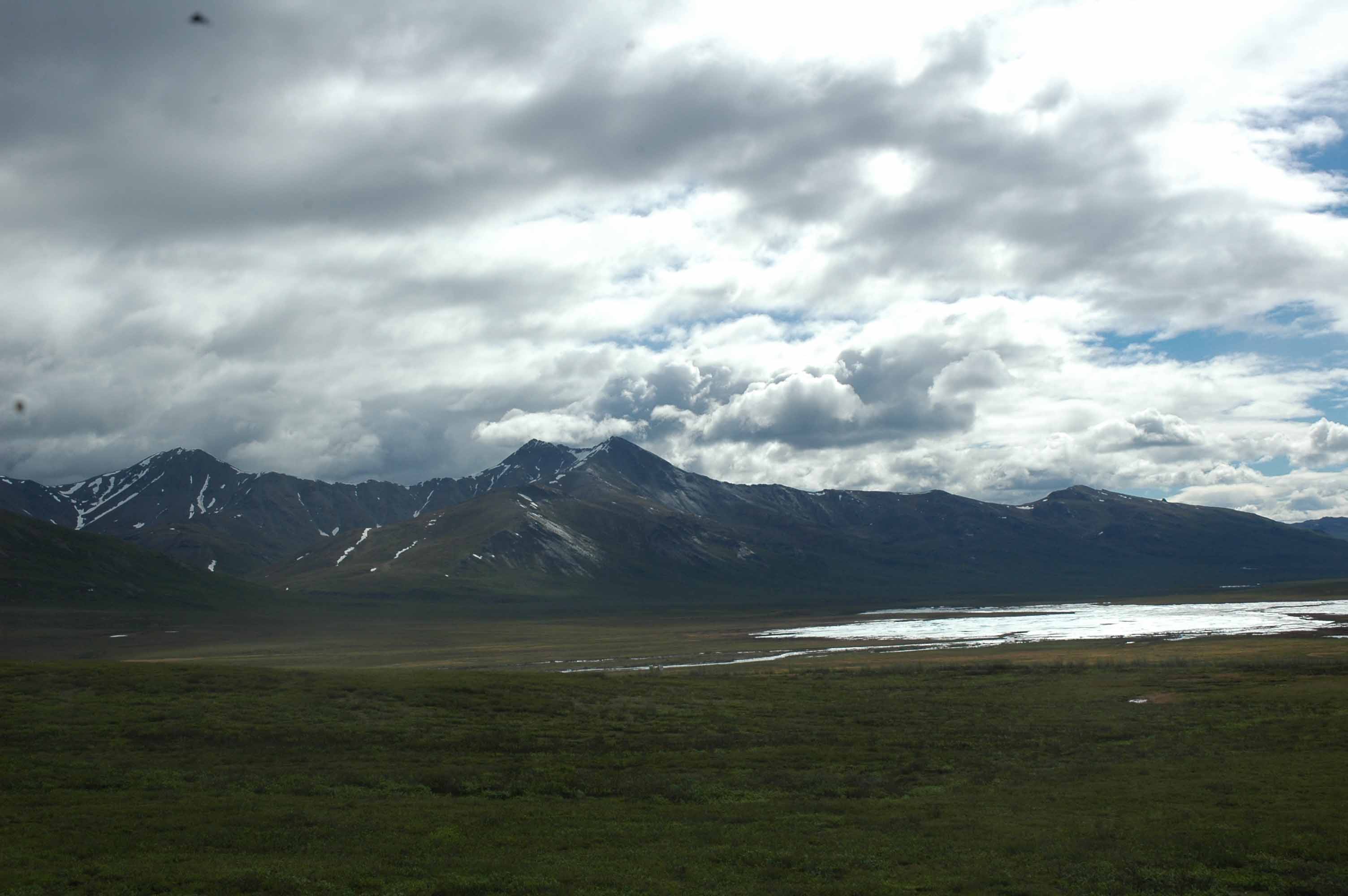
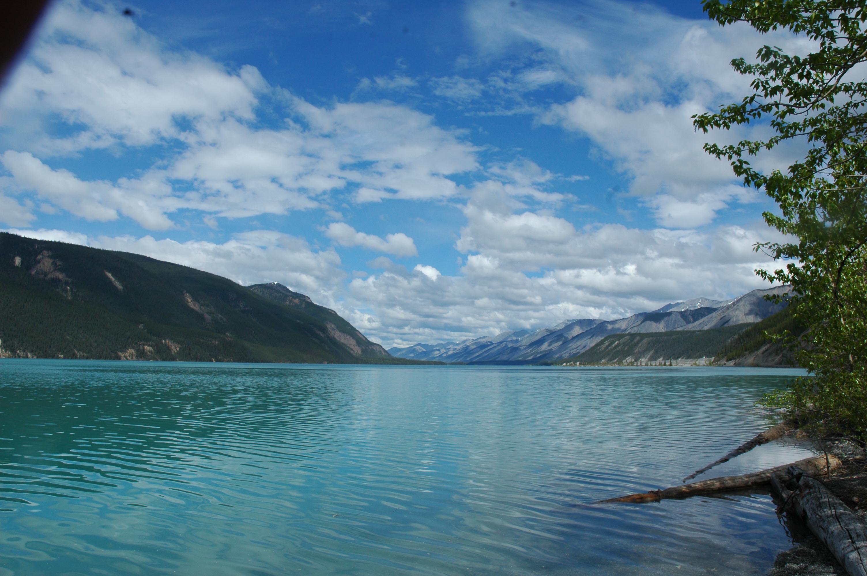
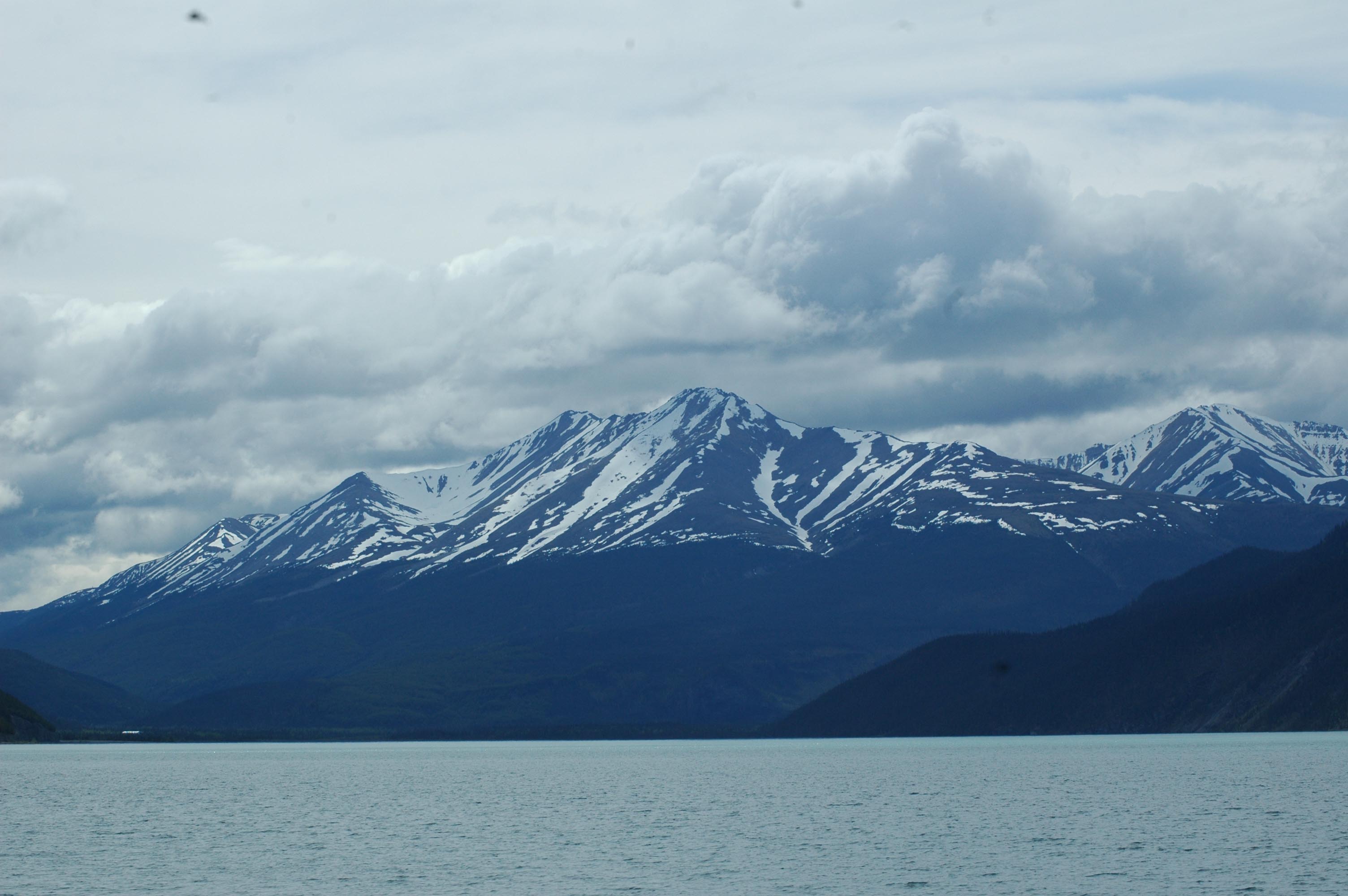
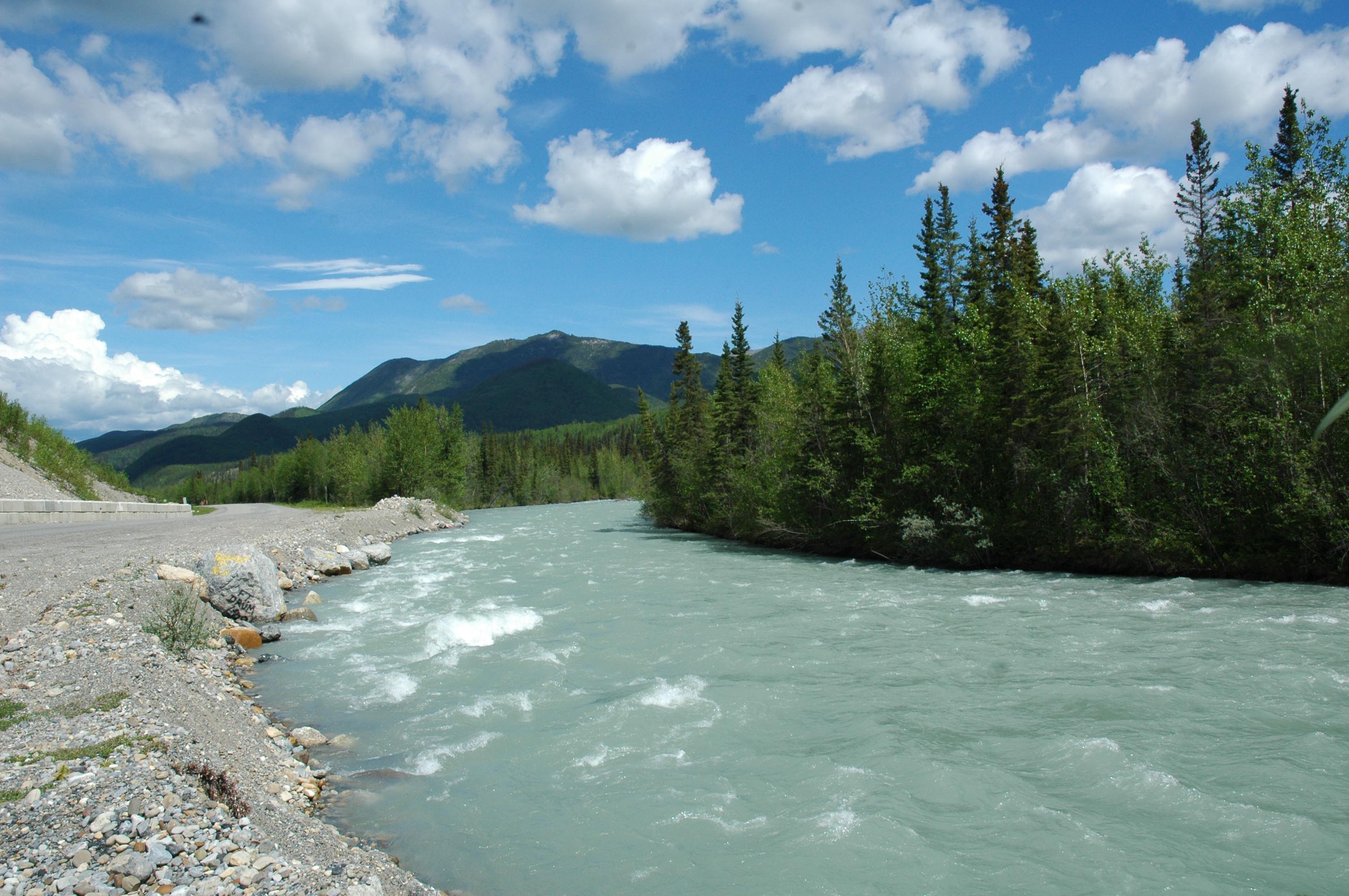
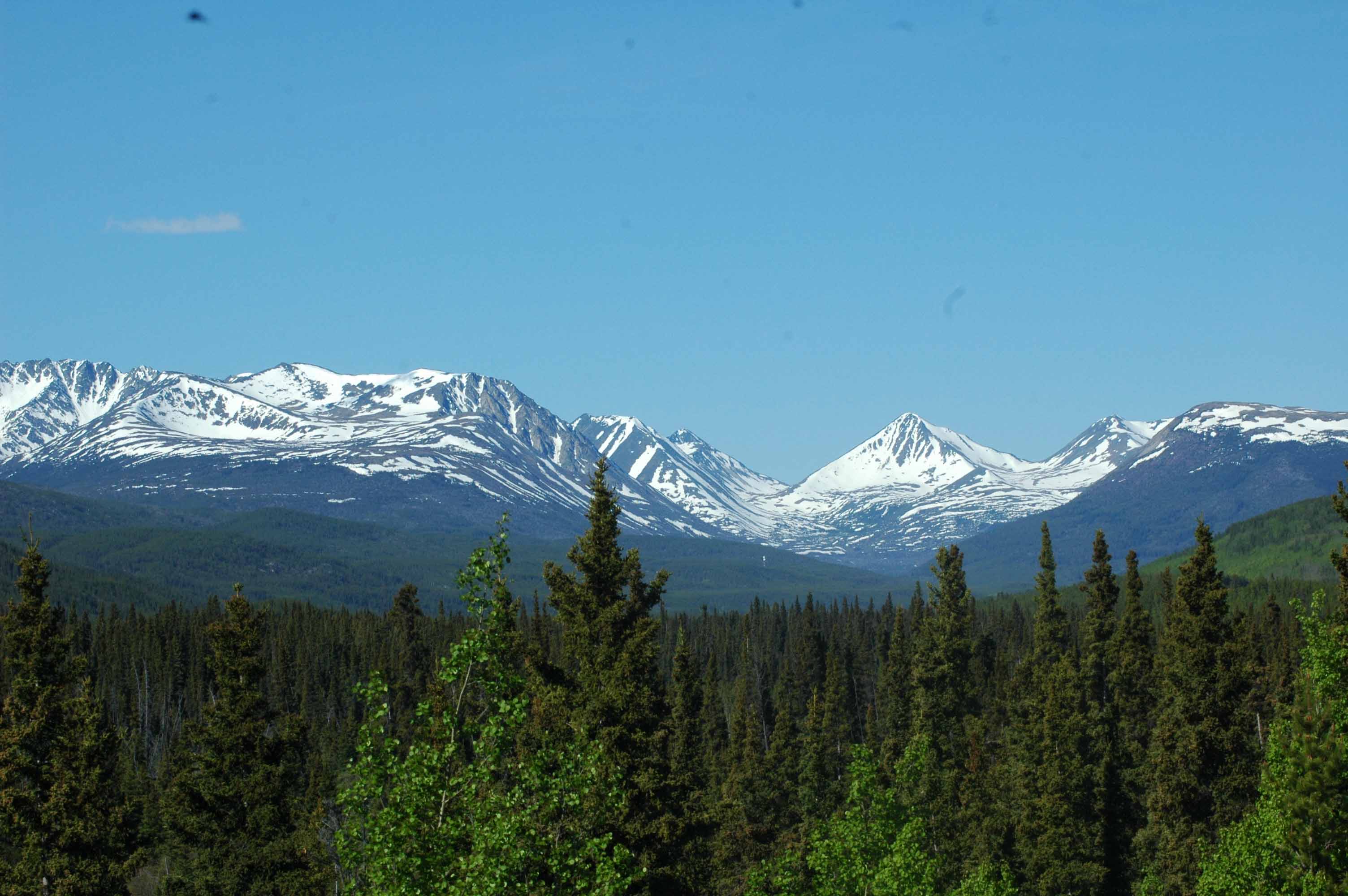
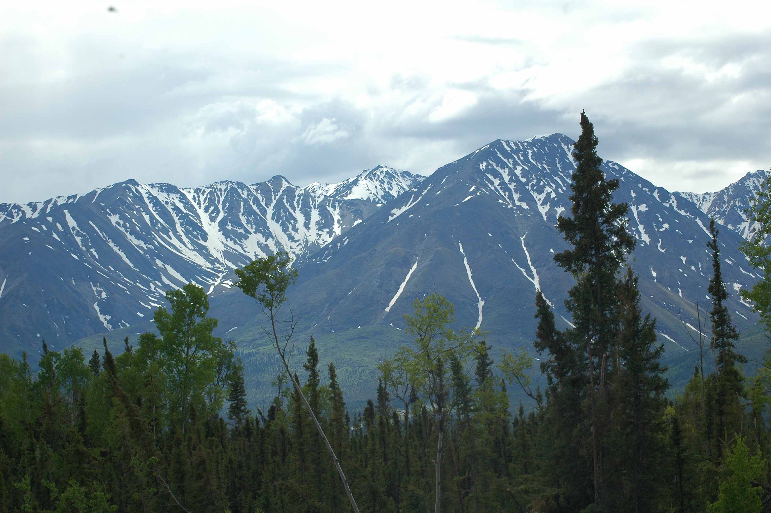
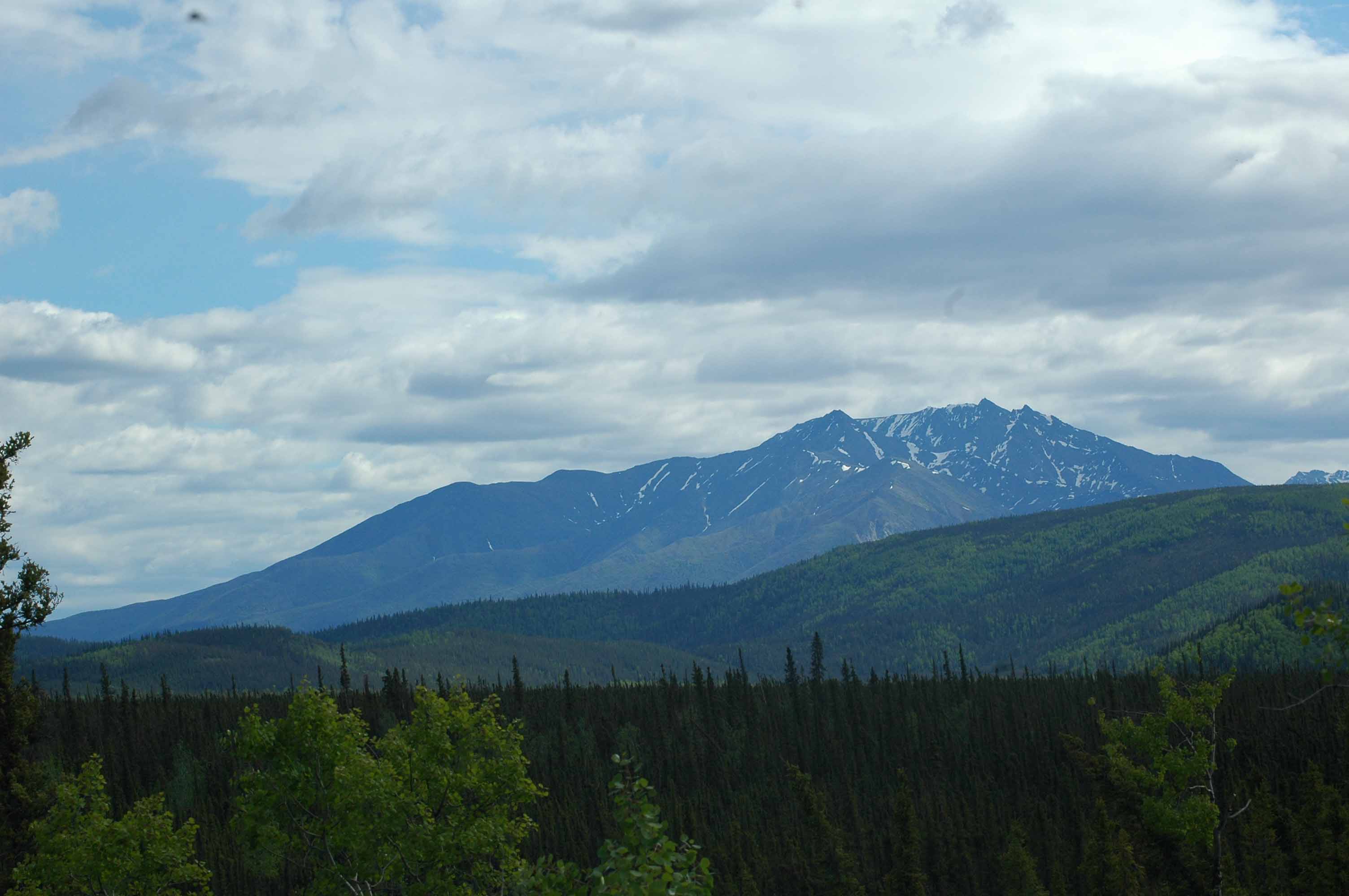
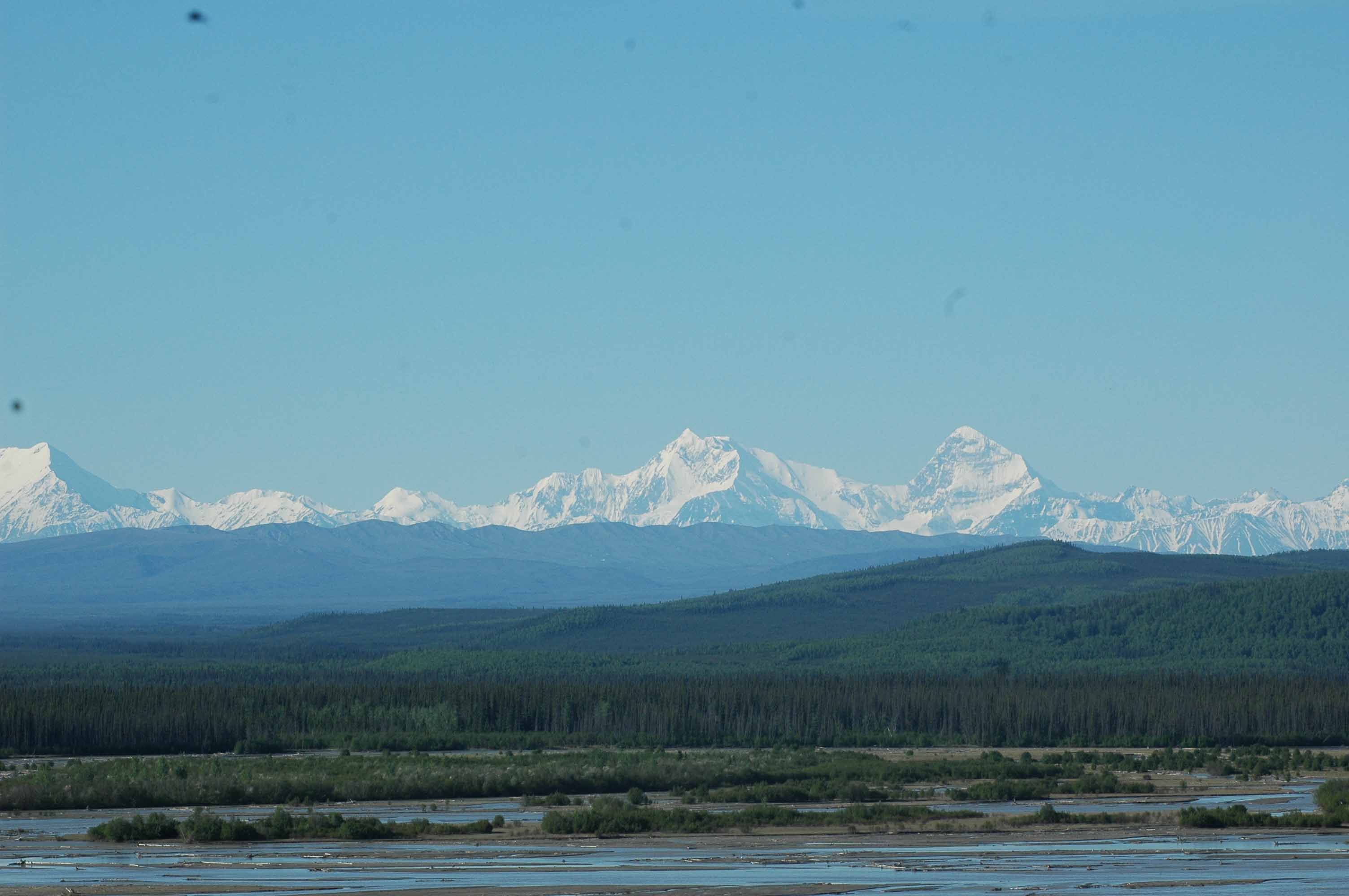
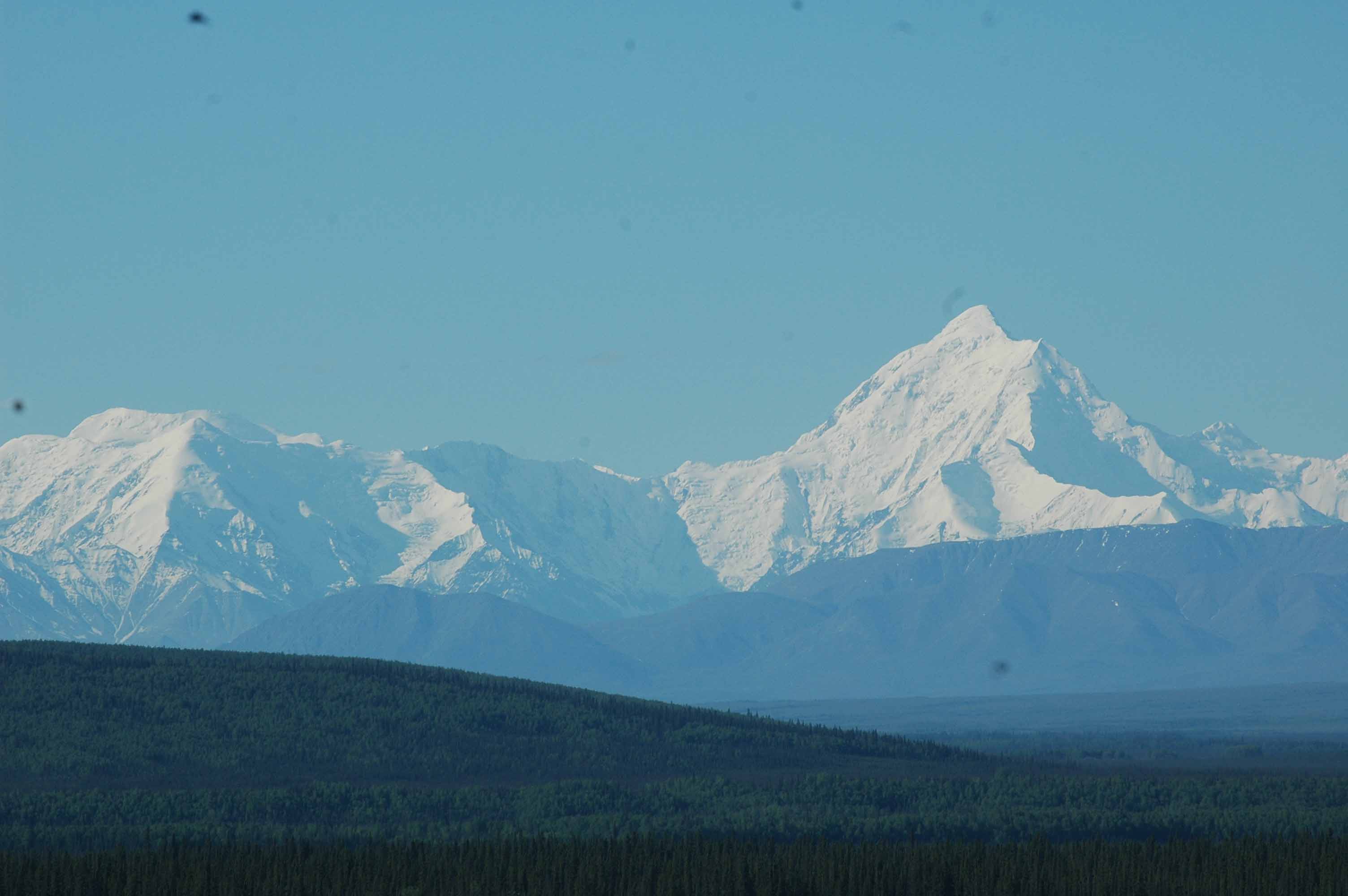
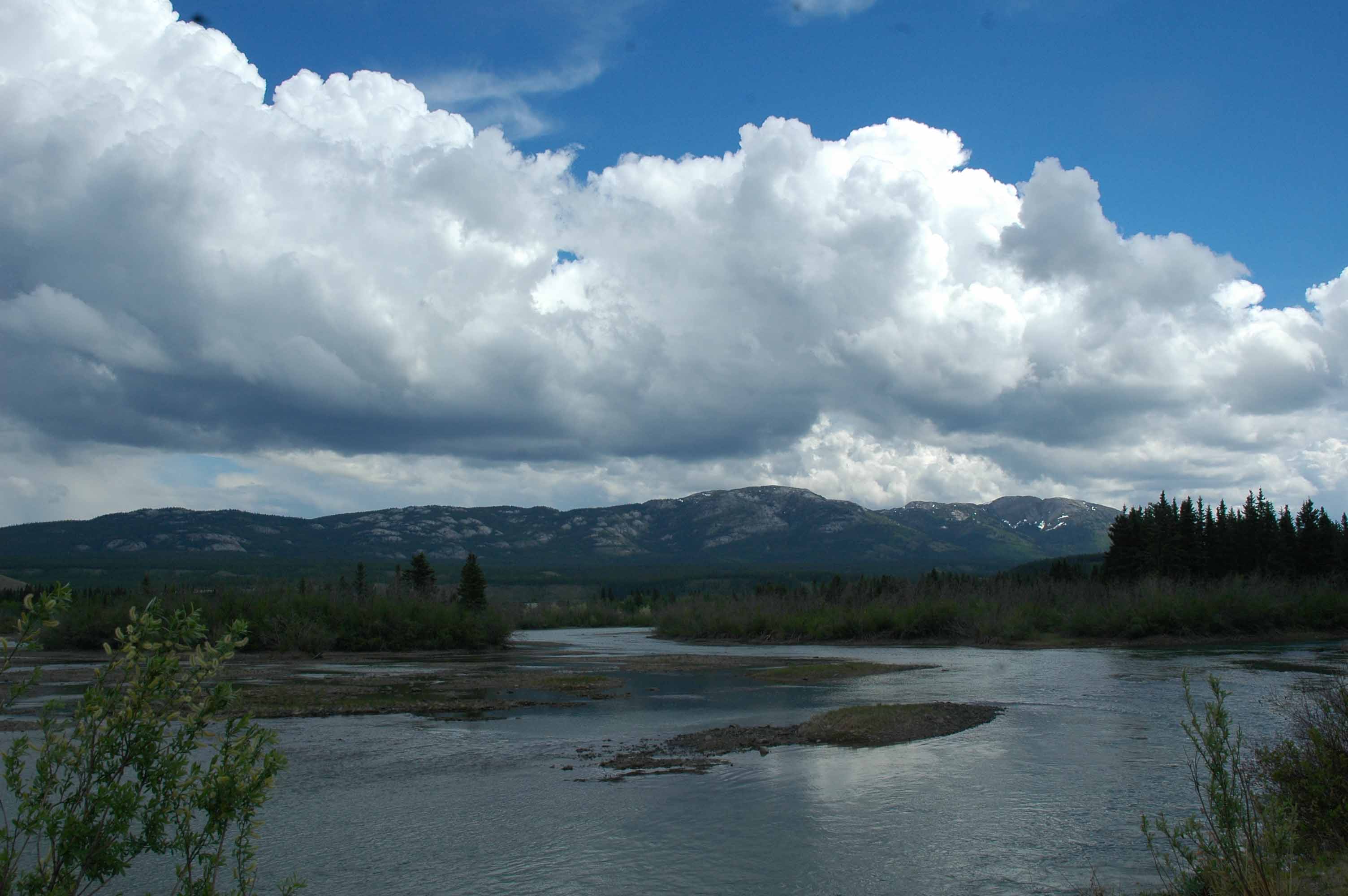
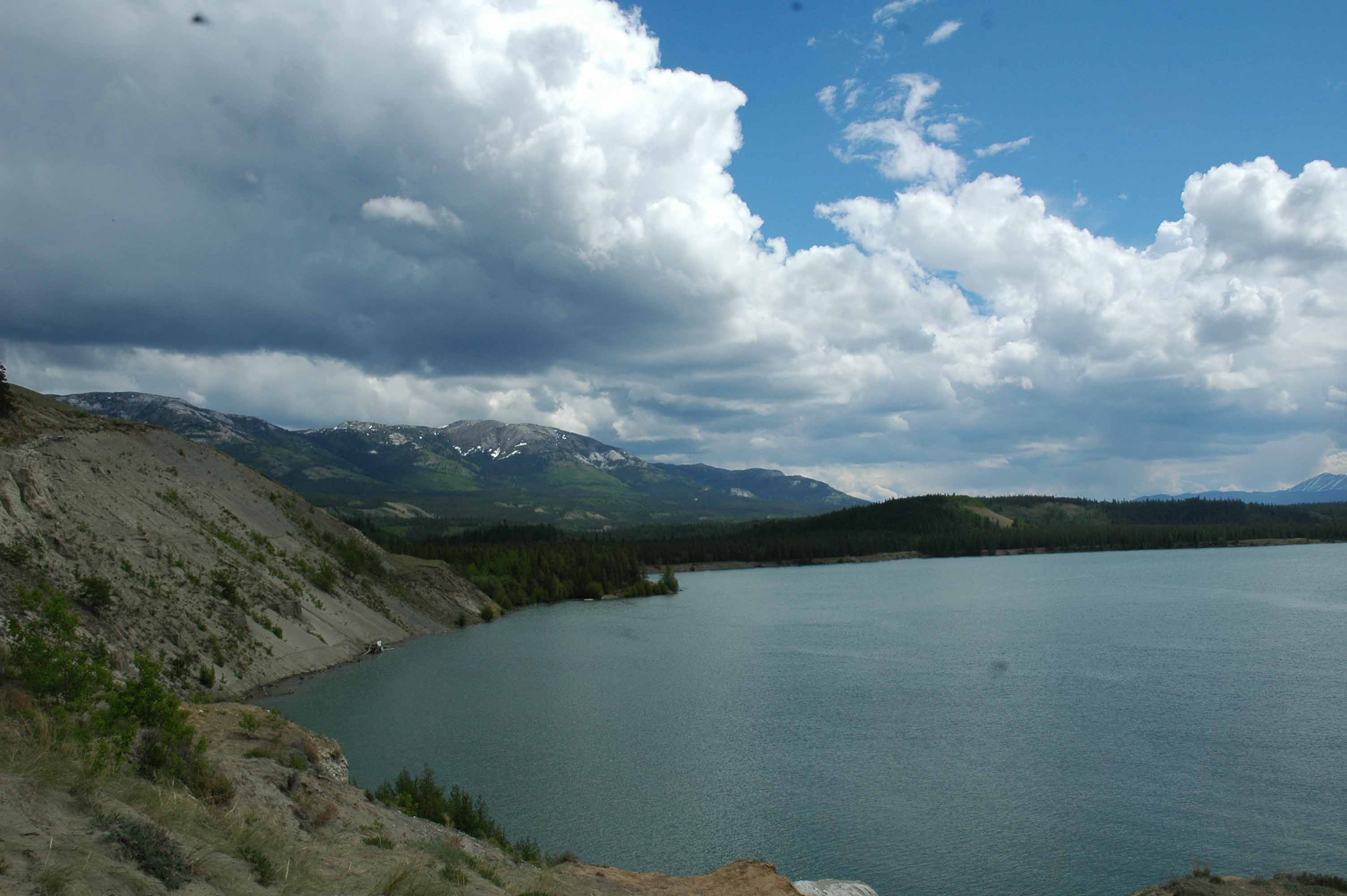
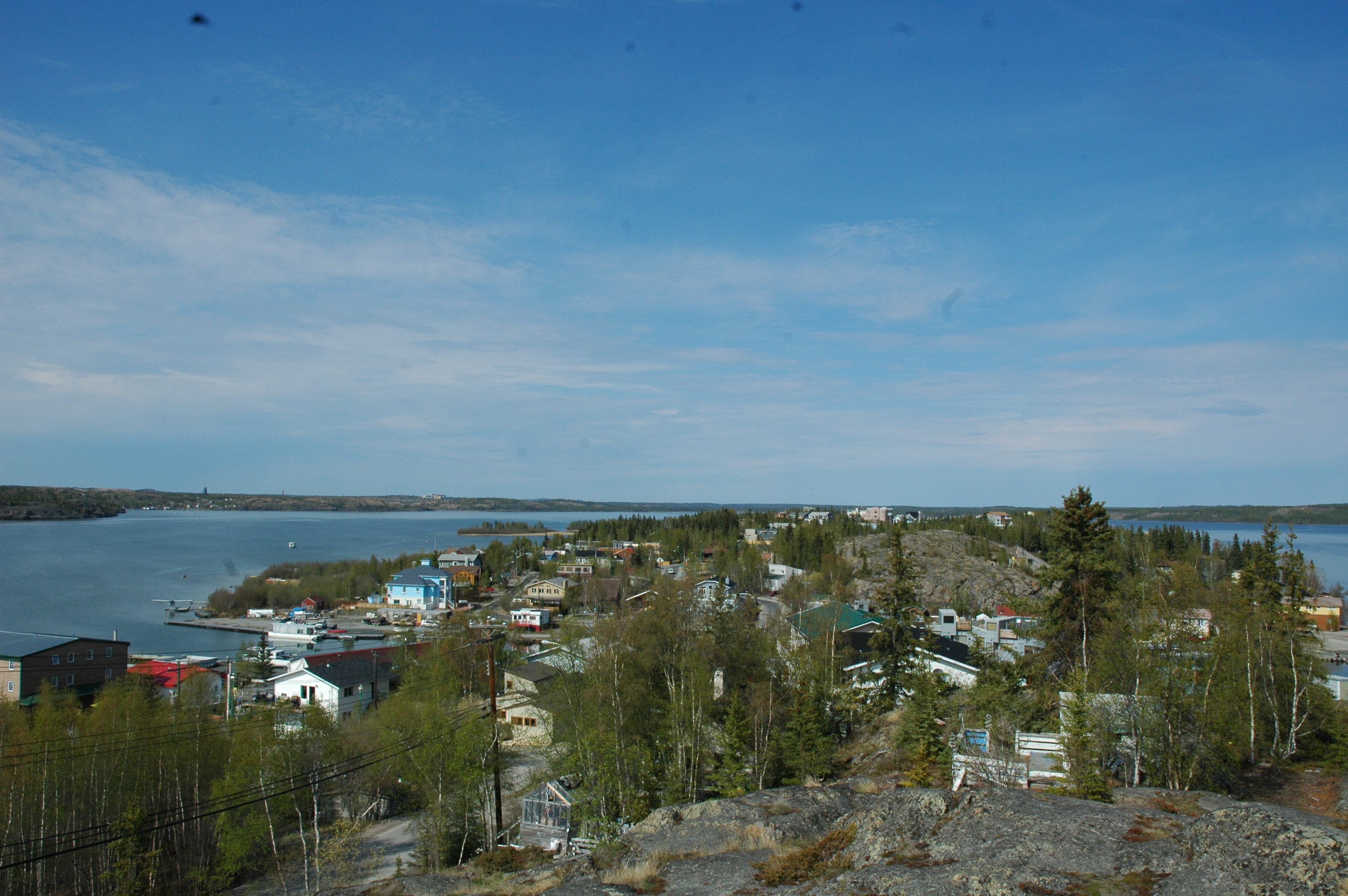
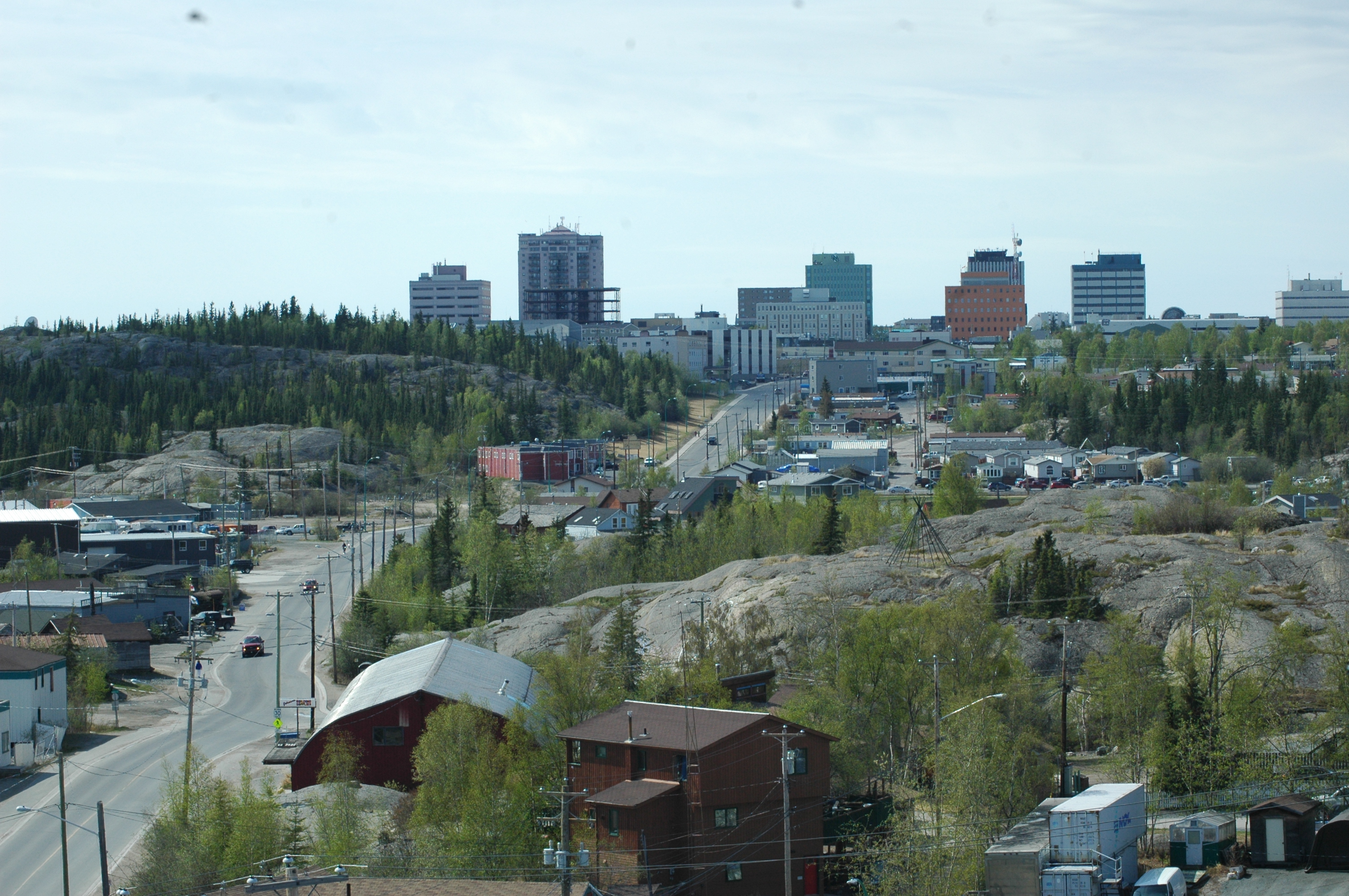
Fairbanks and Surrounding Area Has Great Views
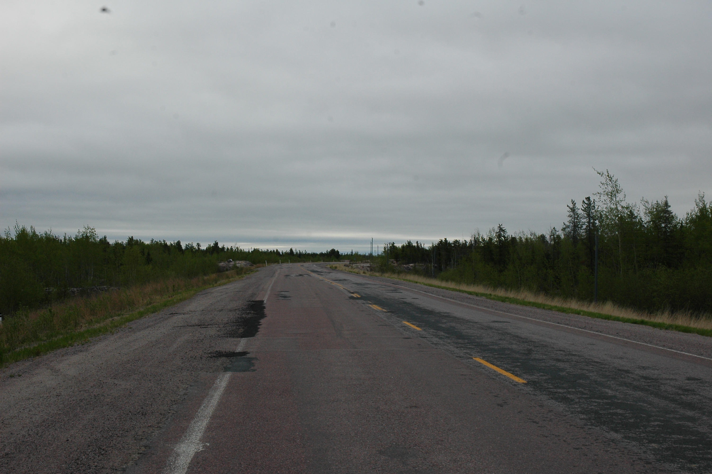
We will miss Fairbanks with all it hills and mountains. That being said Denali is calling us. We leave in the morning for four days. Reservations are made for the Cantwell RV Park and the Denali Shuttle Bus. The park campgrounds are filled so we end up driving 30 minutes every day. We plan to spend three days in the park. We hope the weather holds for hiking and some good photo opts for Mt. McKinley.
More later after we check Denali off our to do list…
God bless,
Larry and Jan