Monthly Archives: September 2019

Summer Travels 2019 – National Park Tour – Part Three

Greetings from Larry and Jan. We are back in South Carolina after an enjoyable summer adventure. Finding time on the trip for the blog post is a challenge so this post is not as timely as I would like. Finding the balance between getting out on the trail and sitting behind the computer screen is a push, pull effort, well at least for me. This is the third post for our National Park Tour – 2019 covering the last four NPs. FYI, there will be two more posts. The fourth post will be the time spent with the Snyder Clan in Michigan then finishing the blog posts with our time in Michigan back to South Carolina.

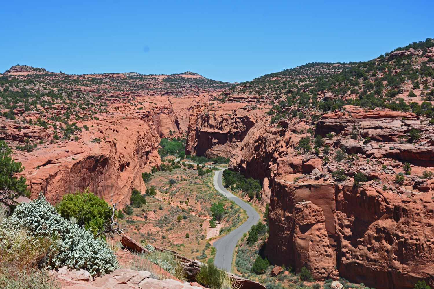
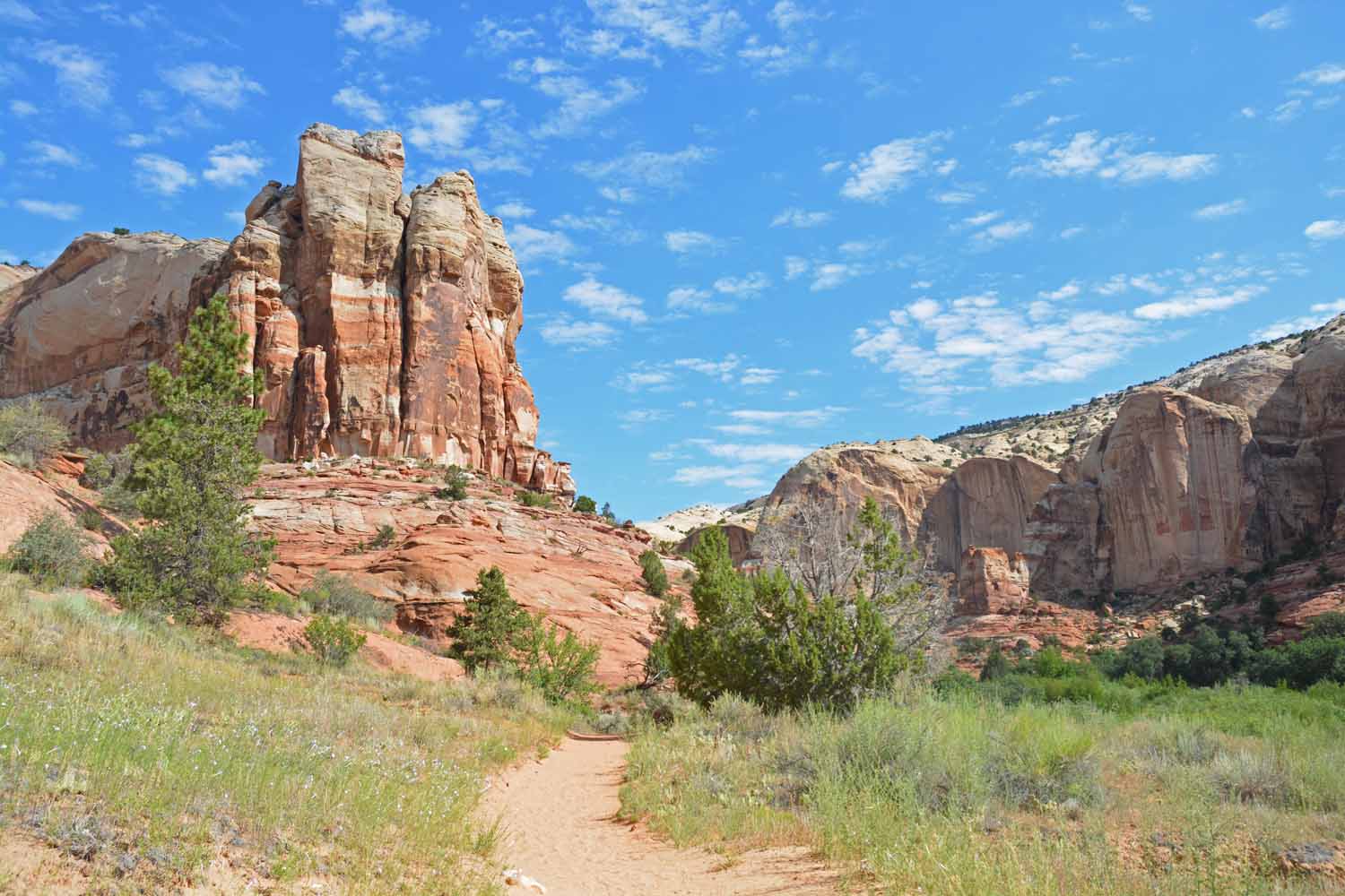
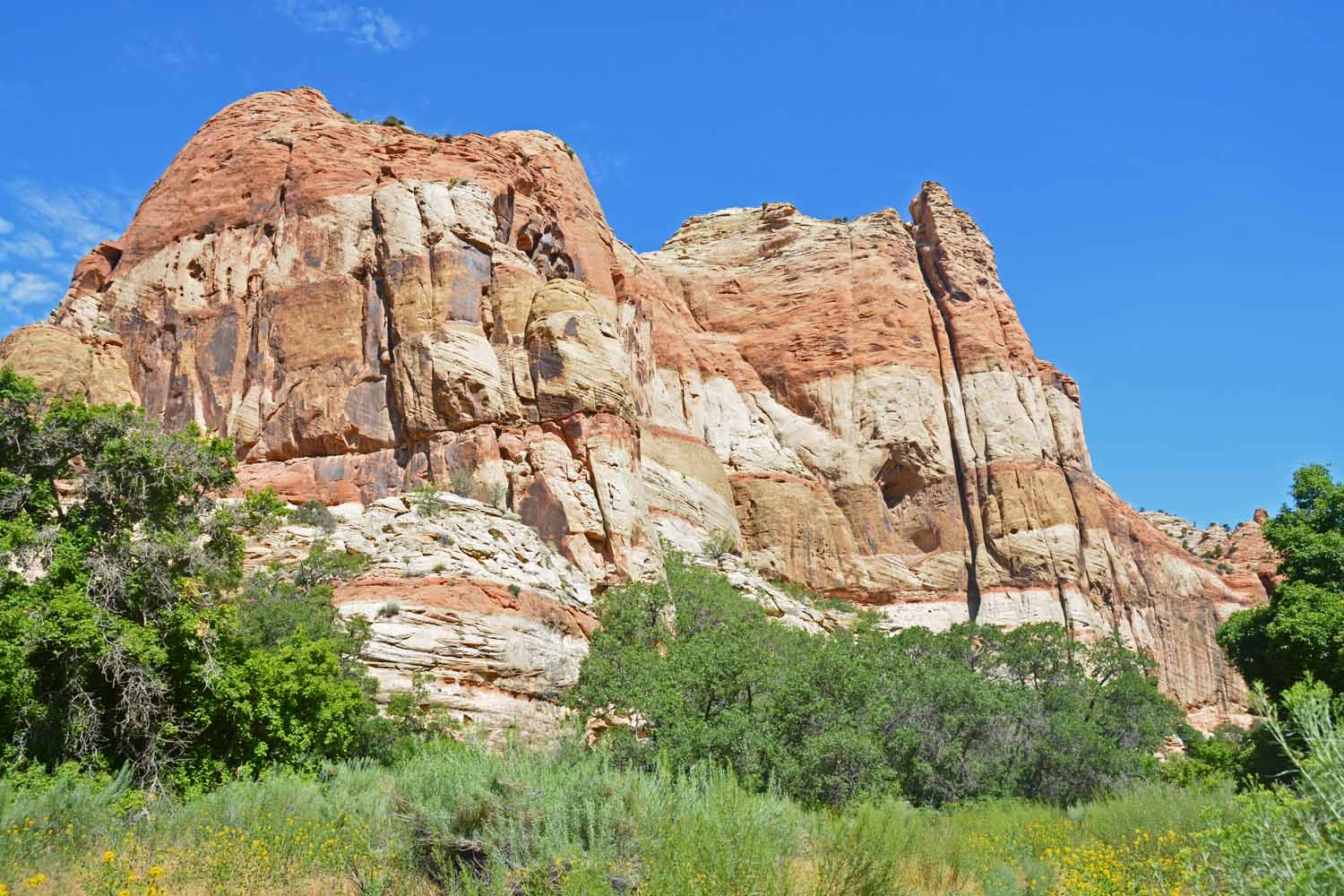
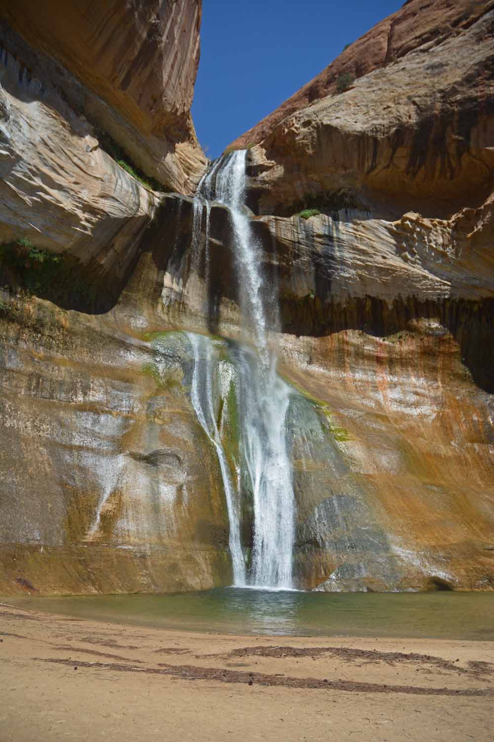
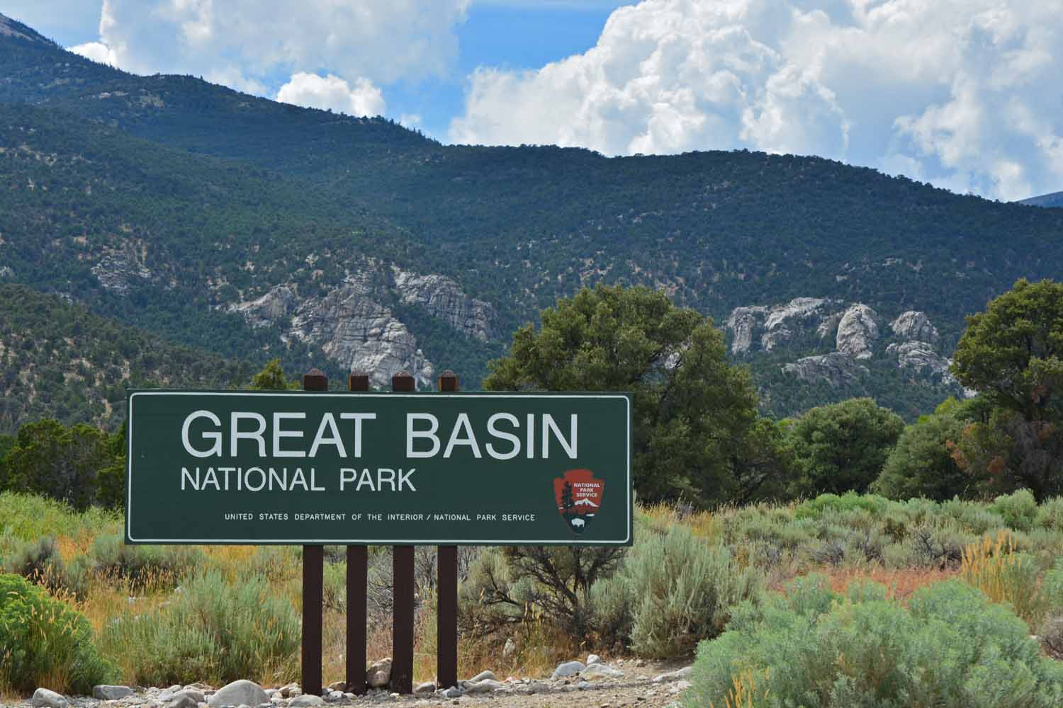
This phase of the summer ended up being a wind down as we worked our way towards the mid-west. These parks were not as dramatic as those earlier in the south and west, although we found them interesting in their own rite.

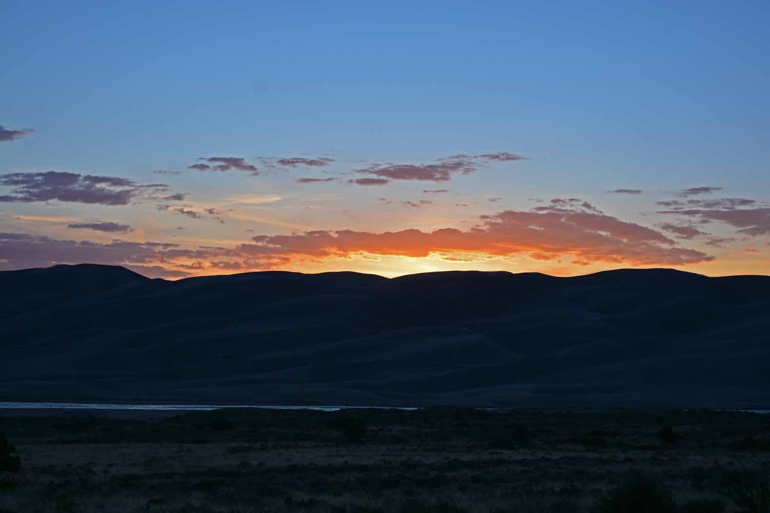
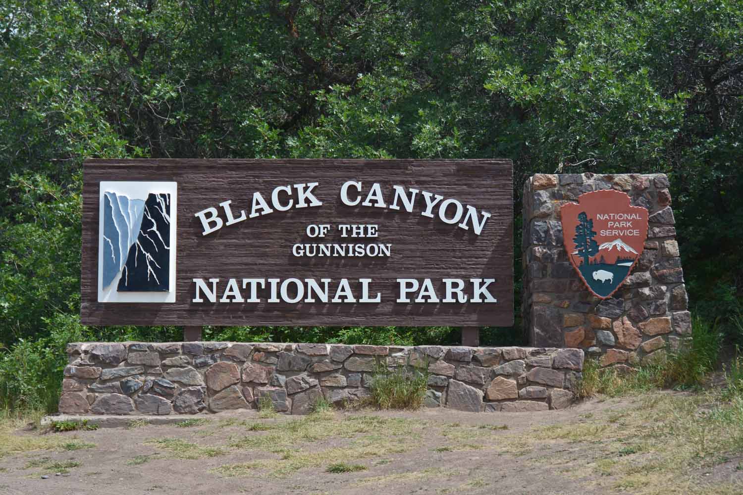
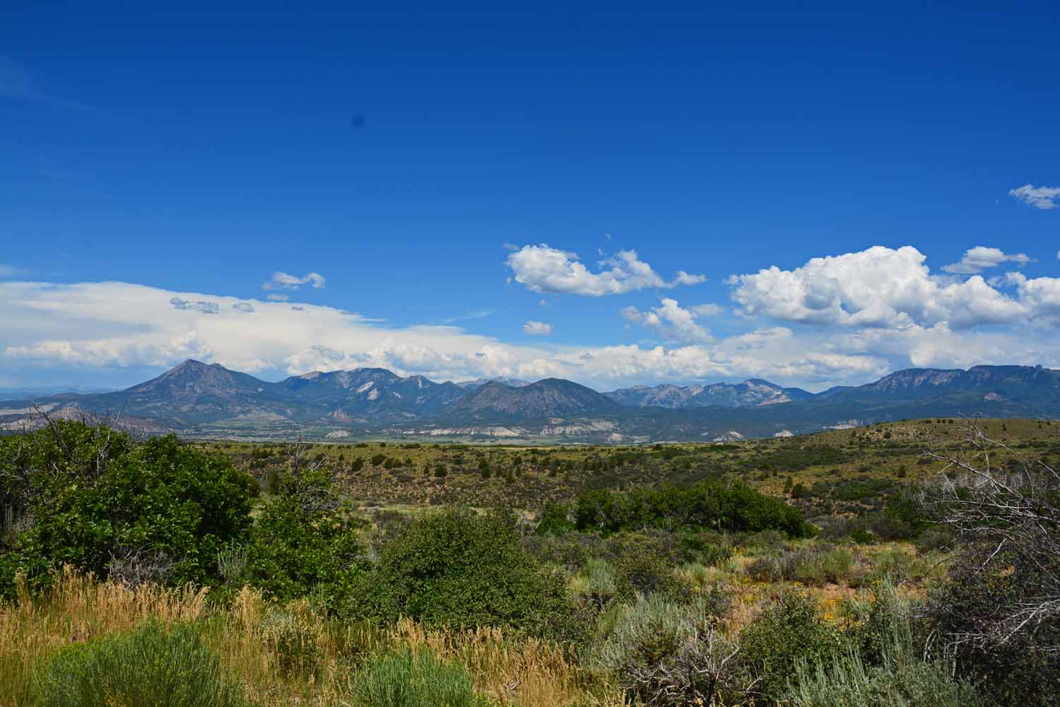
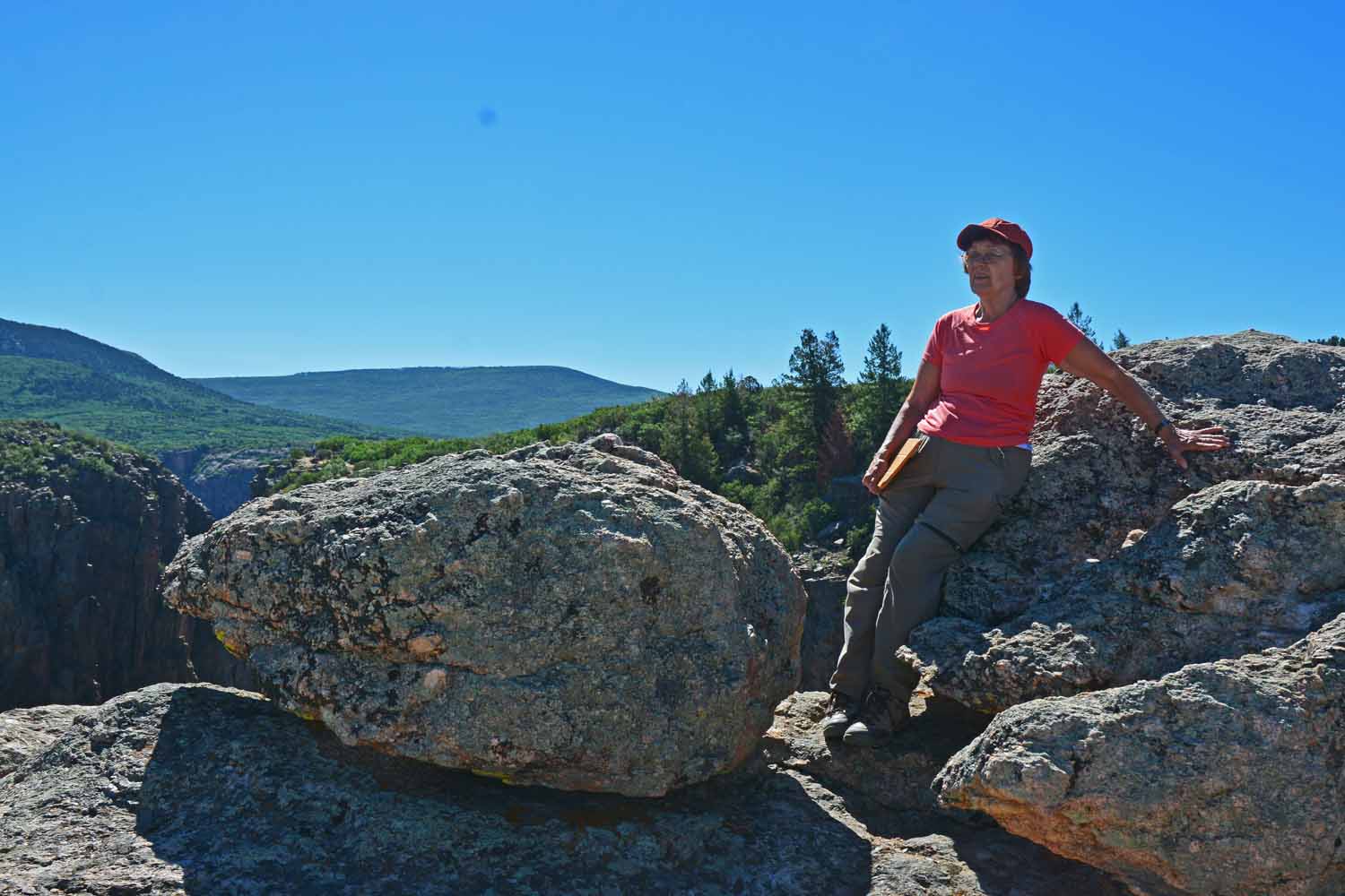
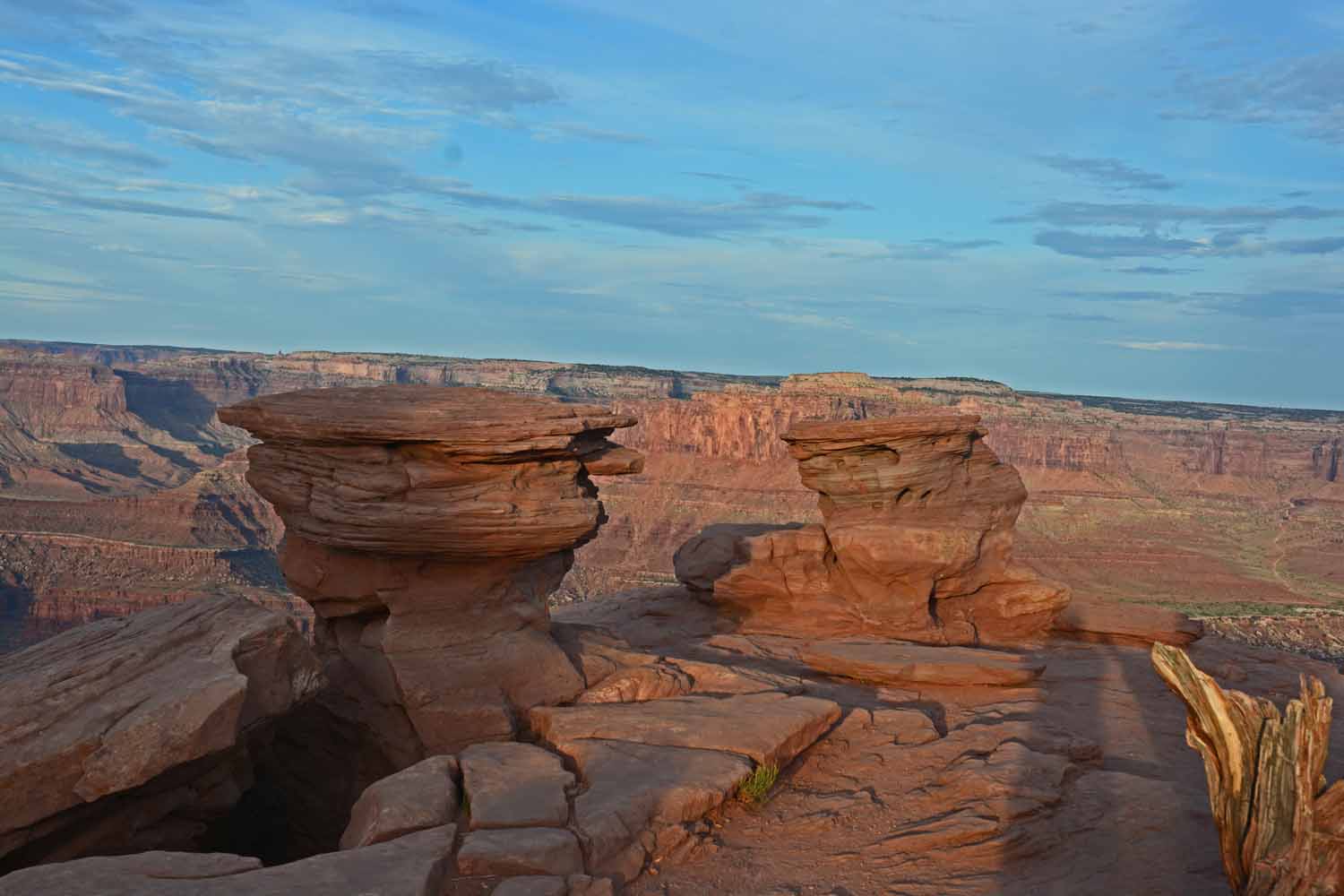
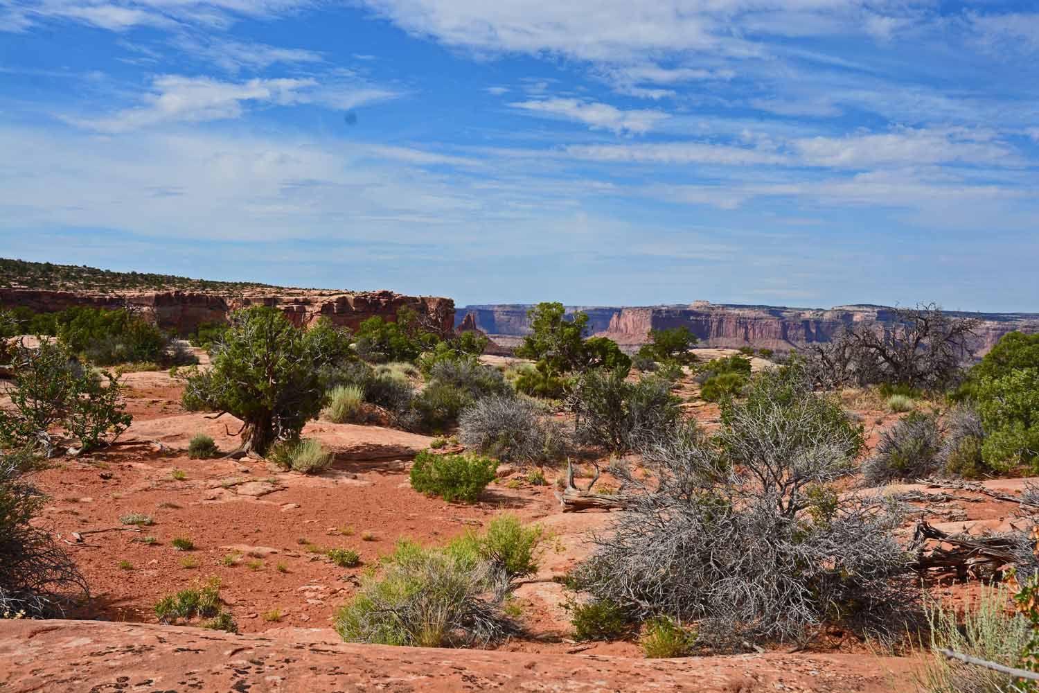
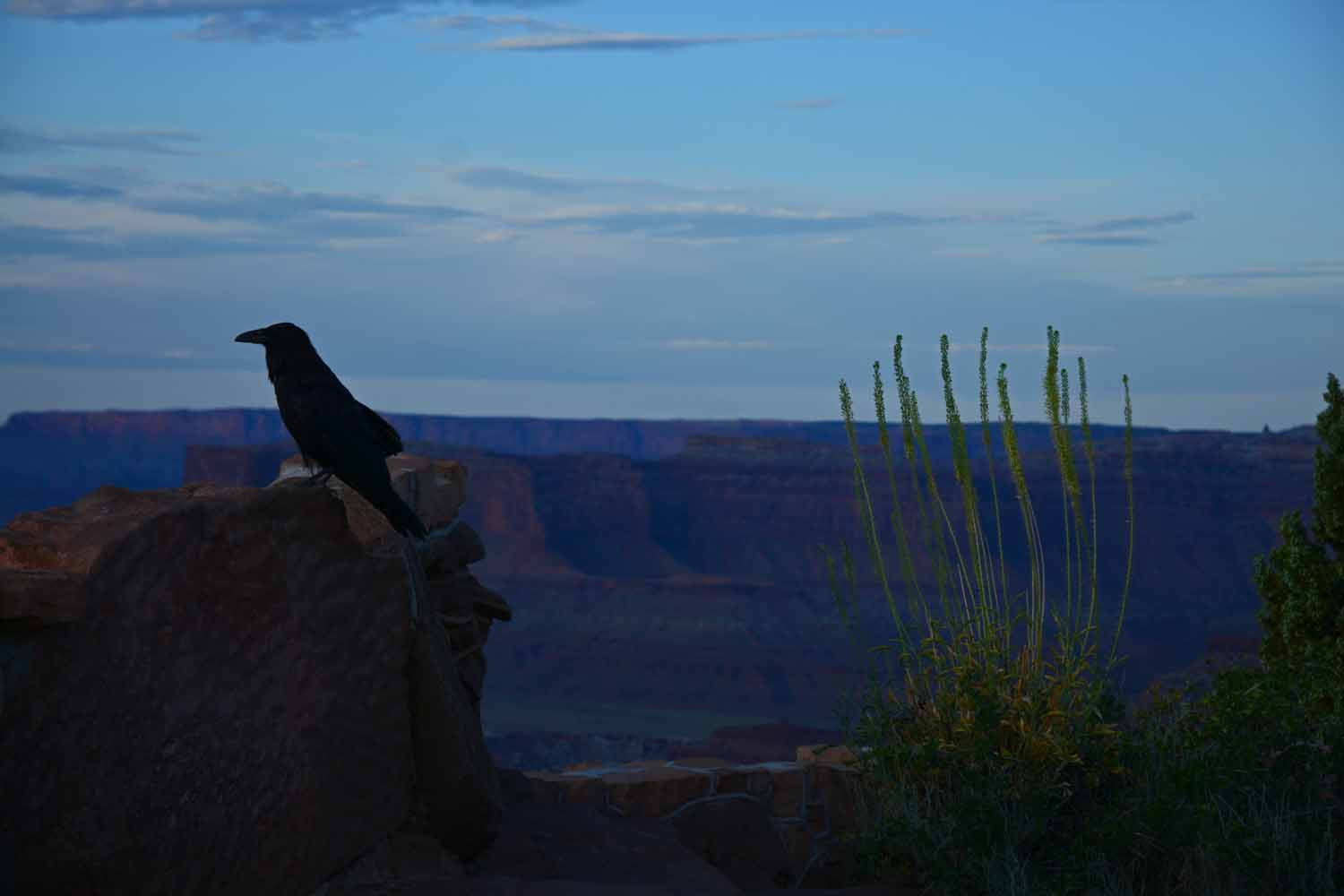
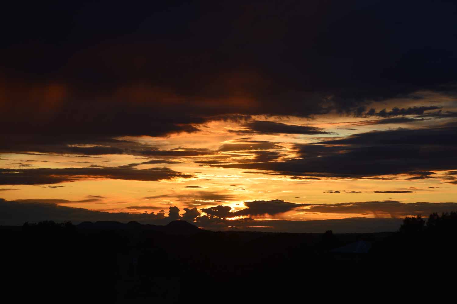
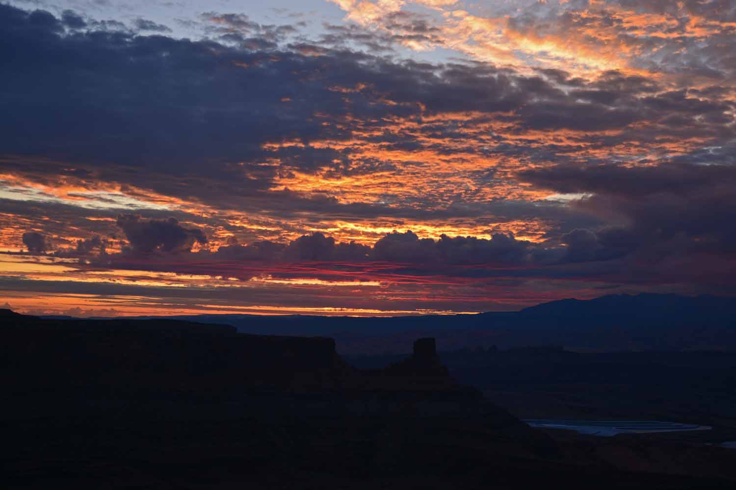
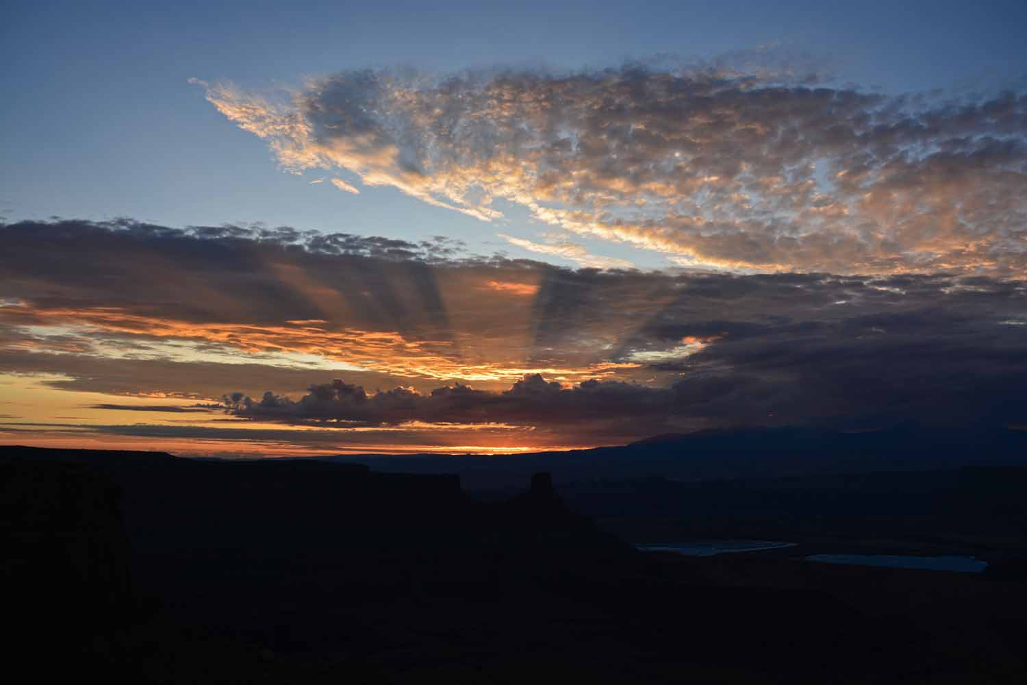
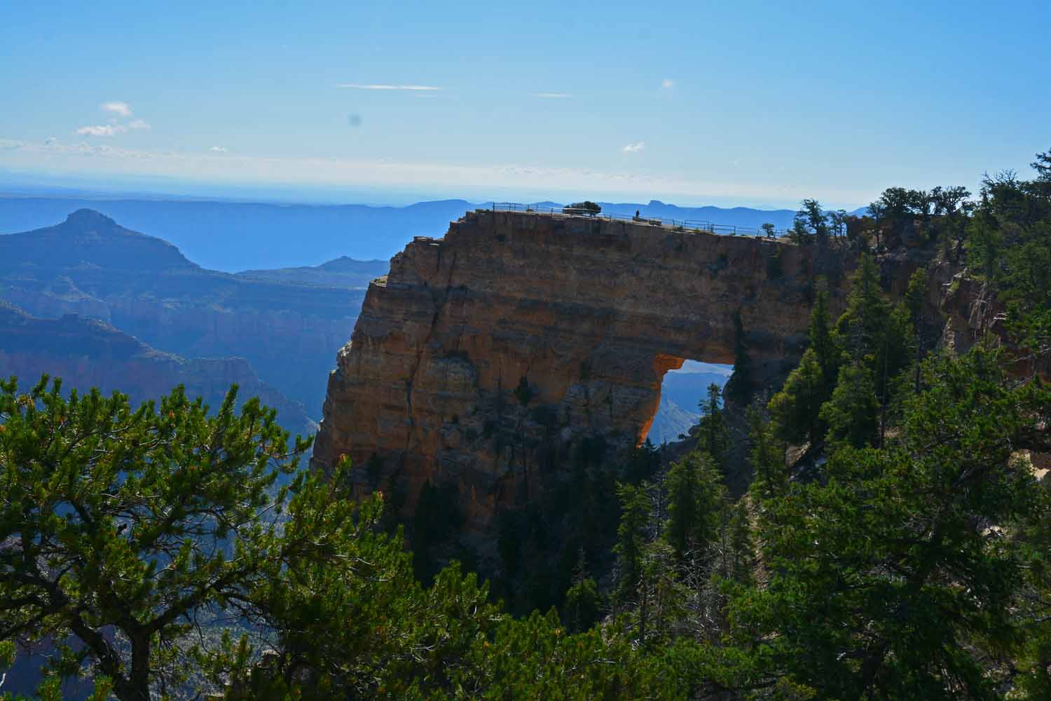
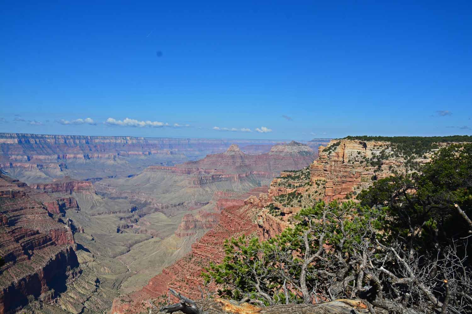
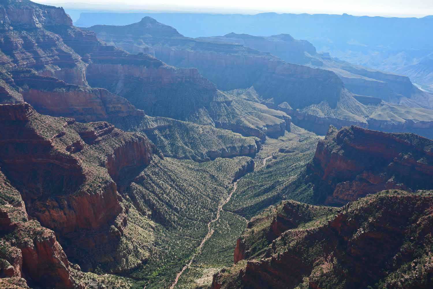
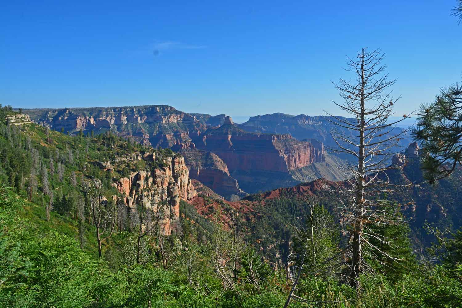
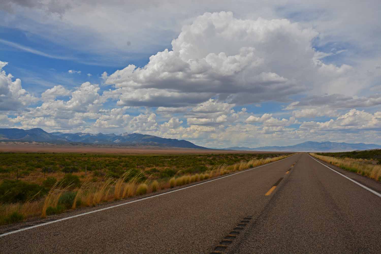
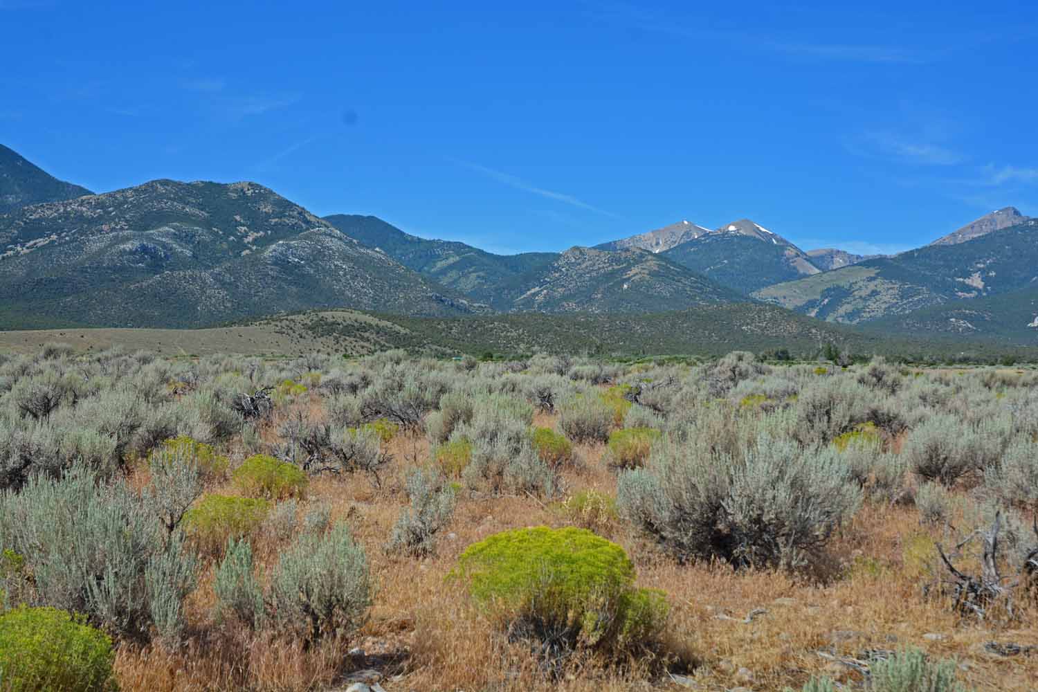
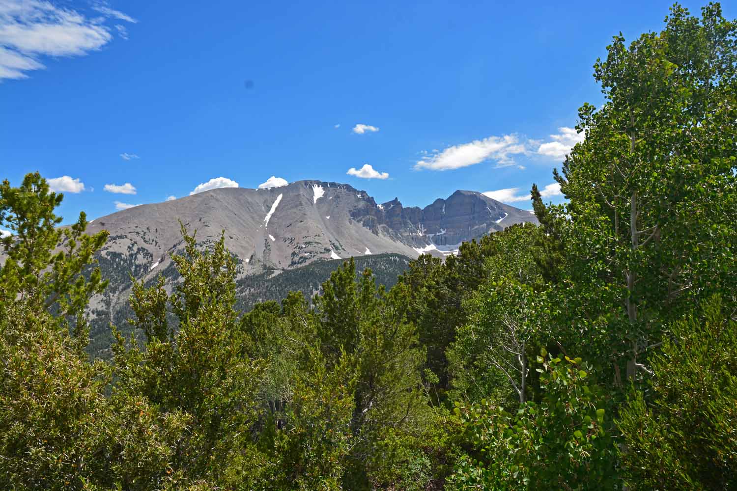
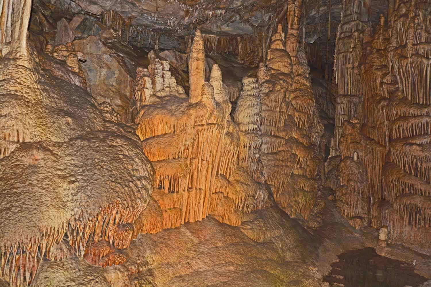
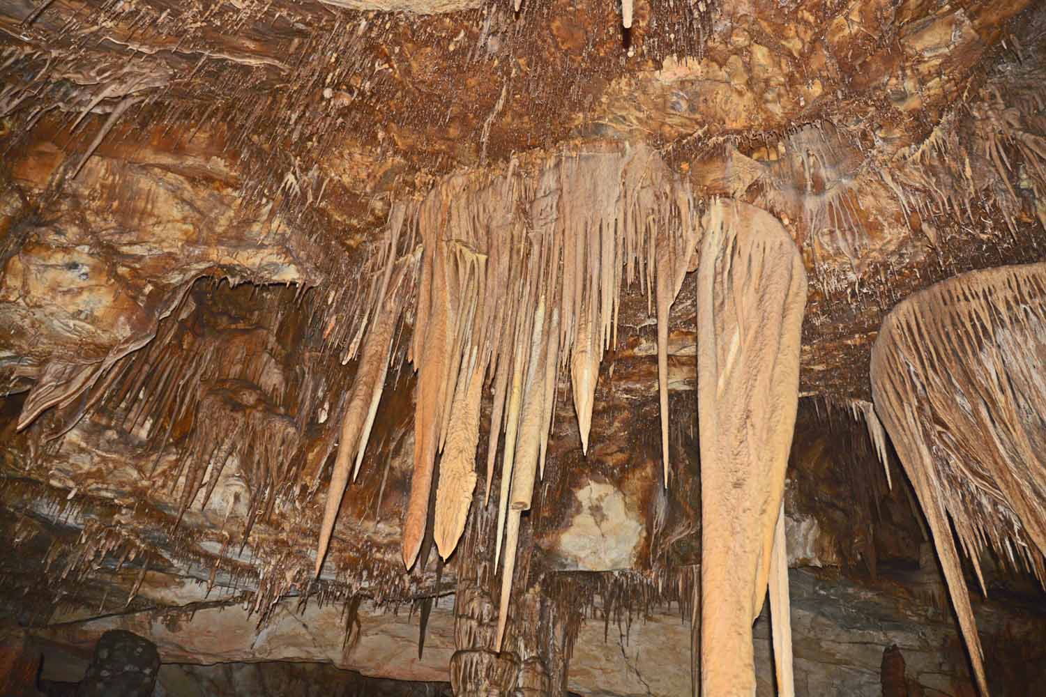
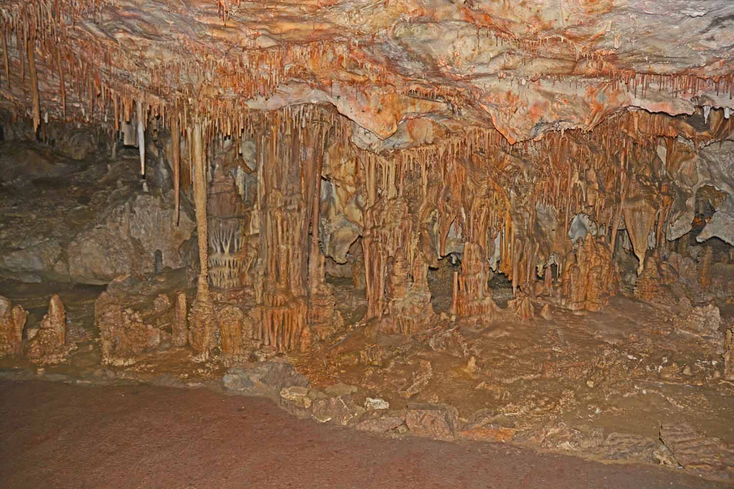
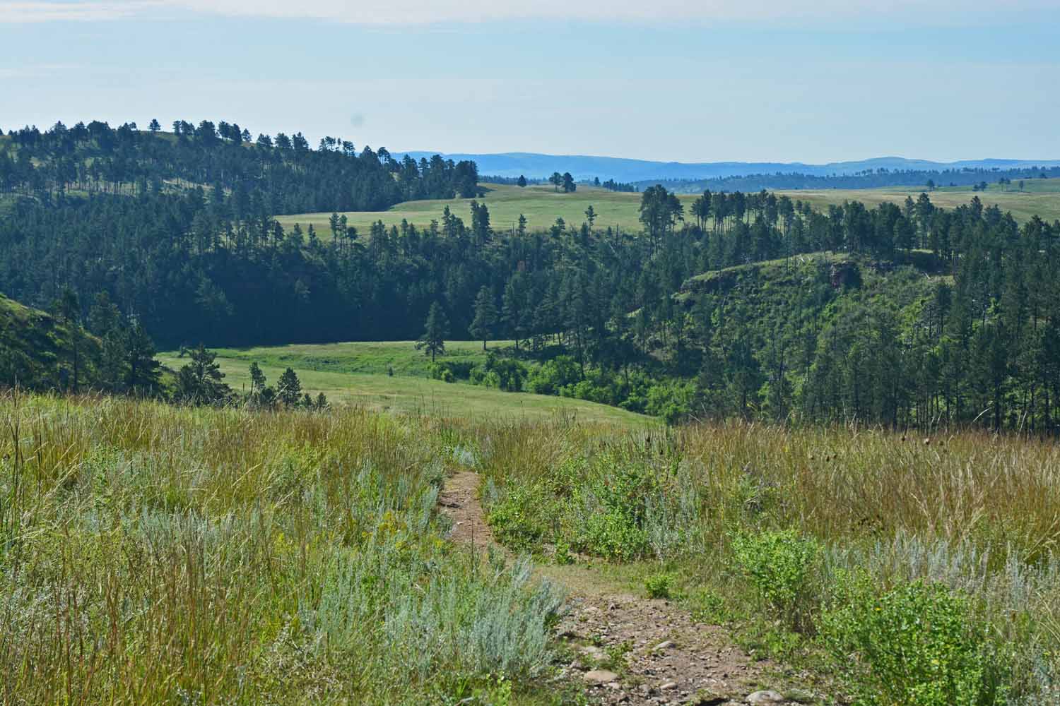
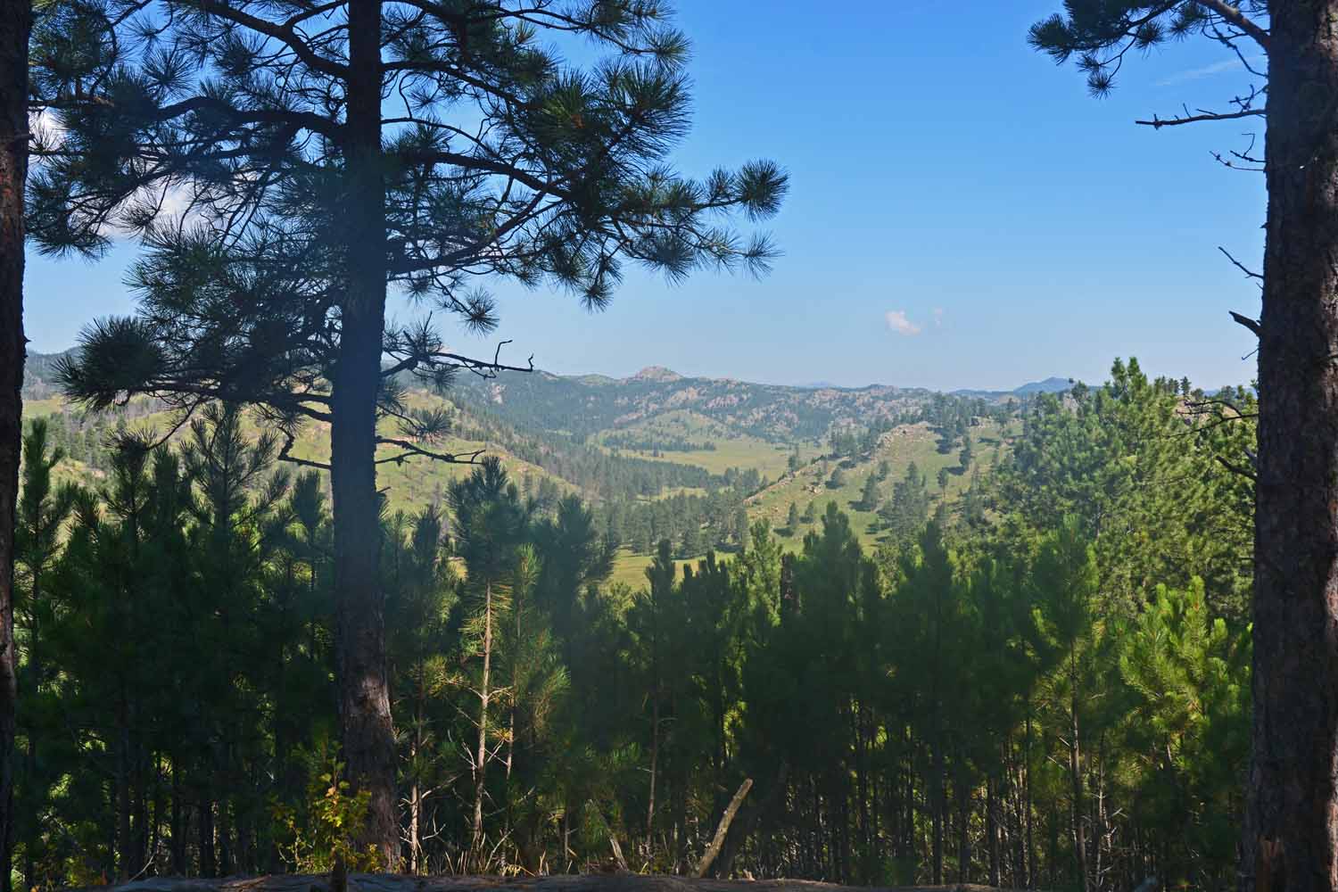
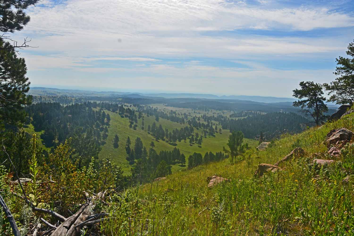
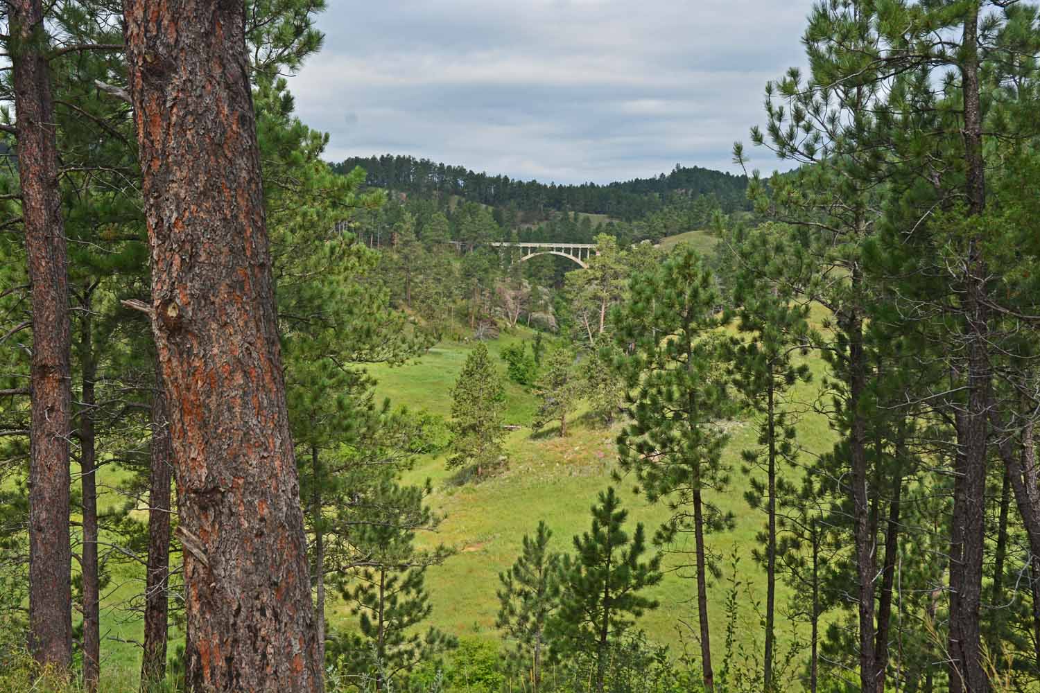
After leaving the Nevada and Utah desert we headed to Hot Springs, South Dakota to the Wind Cave National Park. The main attraction is the cave. The bad news was the cave was closed due to a broken elevator and would not reopen for several weeks. However, we were able to regroup and find plenty to do. The park is not just about the cave. The setting is great plus lots of diverse wildlife. If you are looking for prairie dogs and bison this is a good stop for you. The park is close to the Custer State Park and Mt Rushmore which were nice side trips.

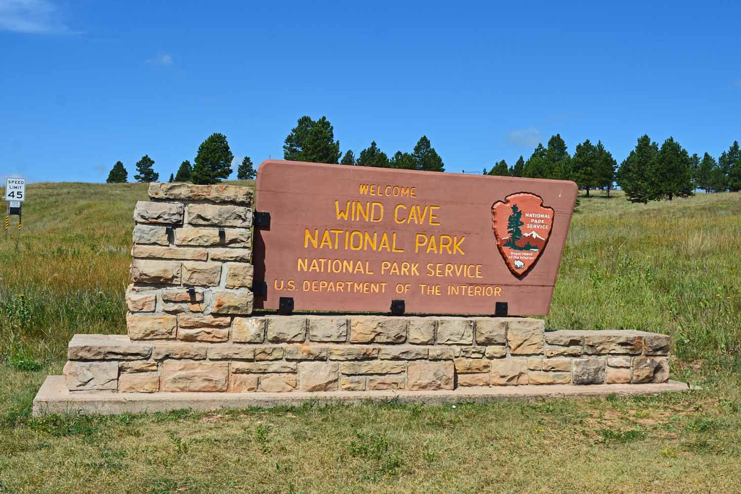
Wind Cave National Park – Sadly the elevator was broken

Getting to Wind Cave was half the fun. Fun stop along the way in South Dakota. Love the West!

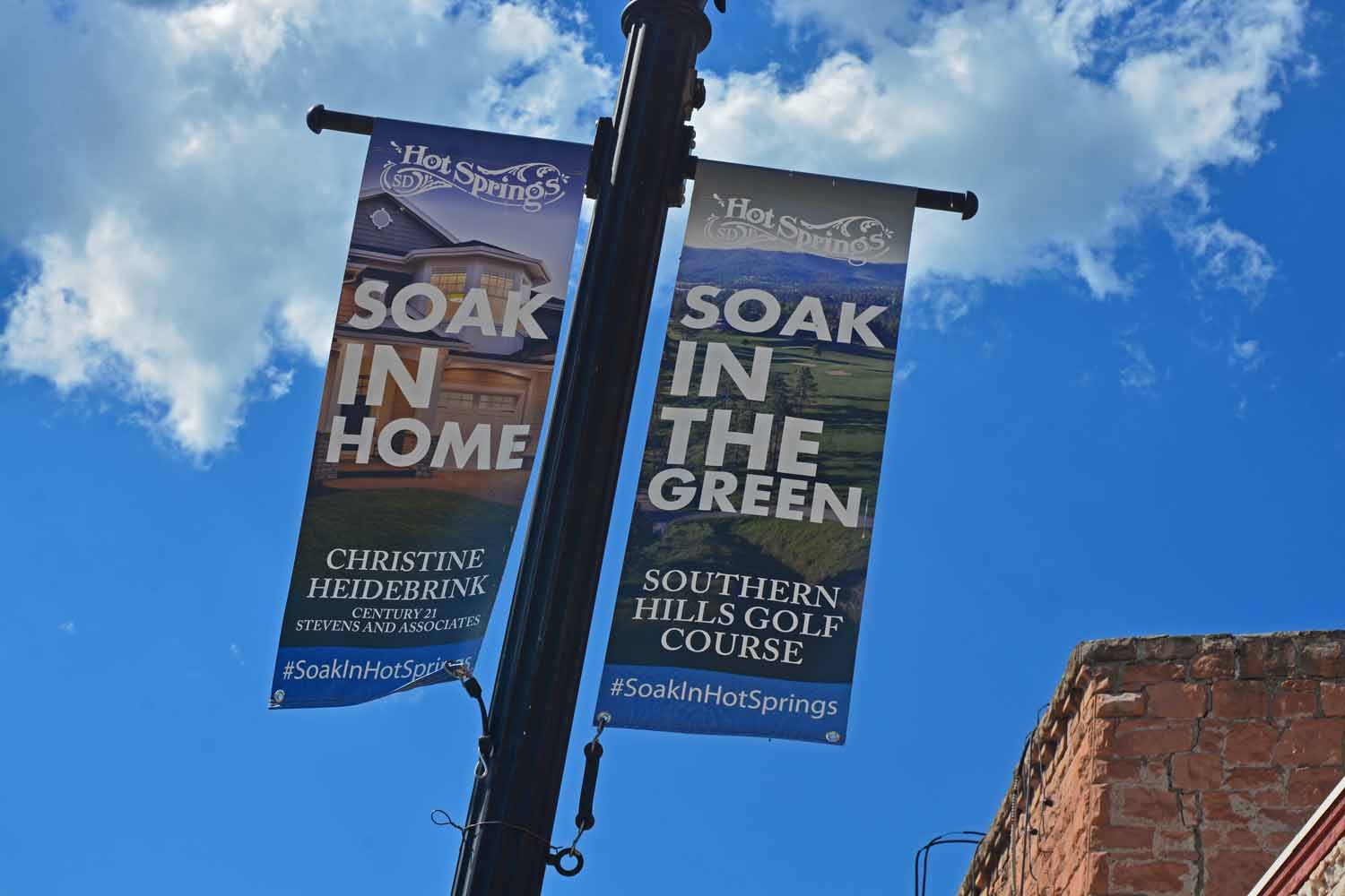
Hot Springs, South Dakota the home of Wind Cave National Park

Had plenty of time to tour the countryside plus found interesting hikes.

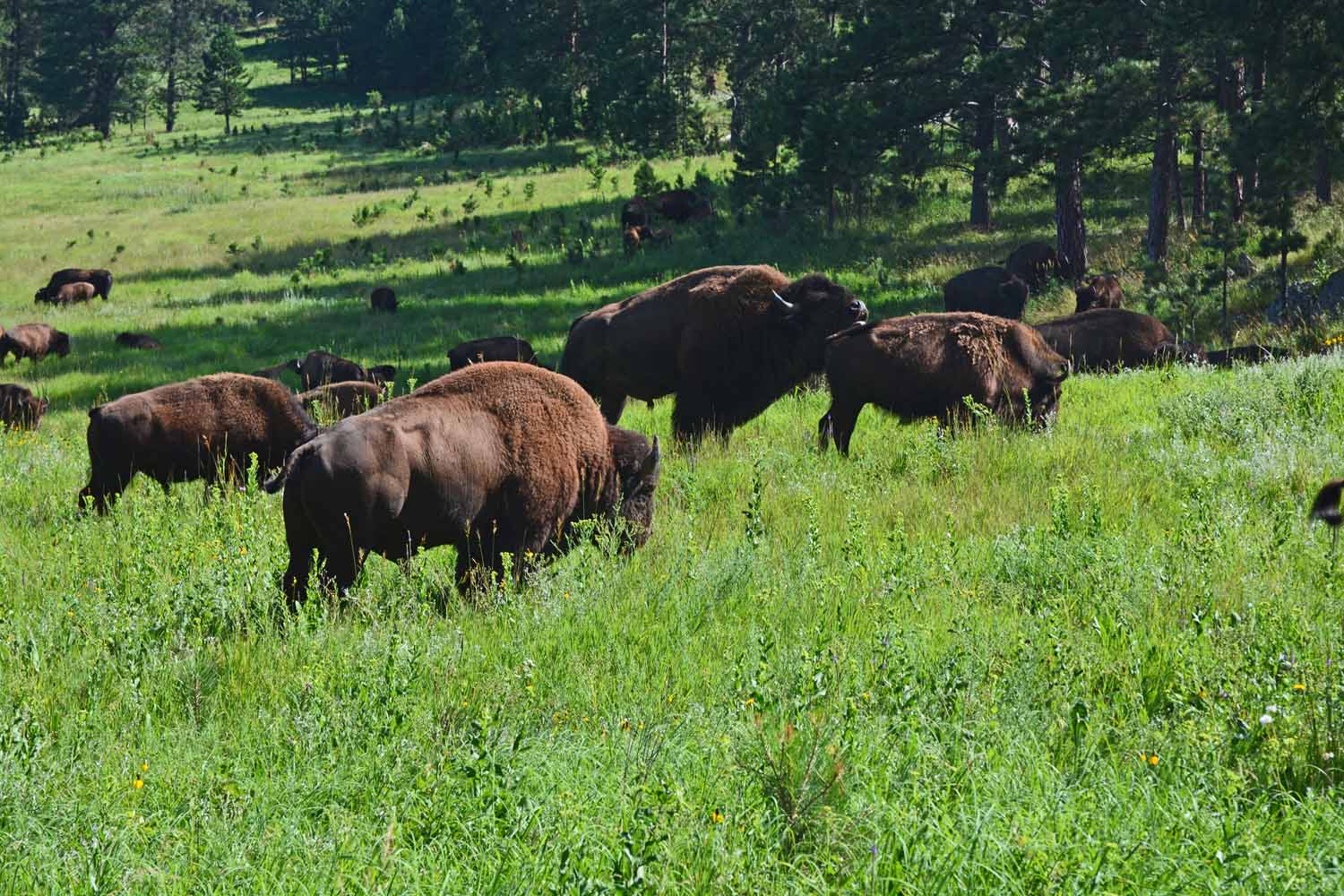
The Wind Cave Park Service proud of the pure Bison gene pool. Yes, they can be found everywhere.

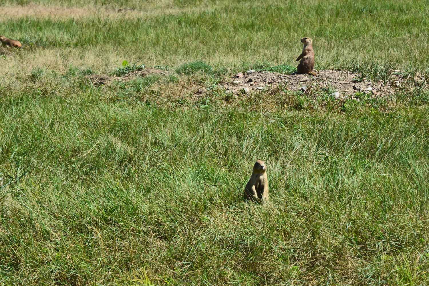
This stop confirmed there is still a large number of Prairie Dogs in South Dakota.

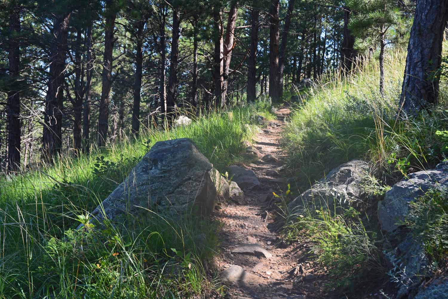
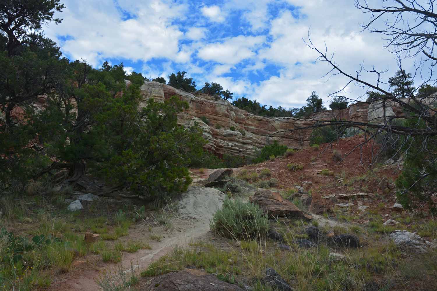
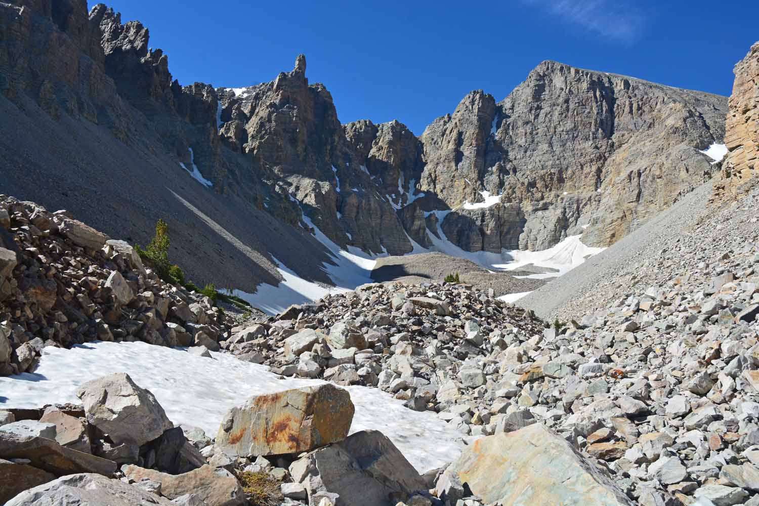
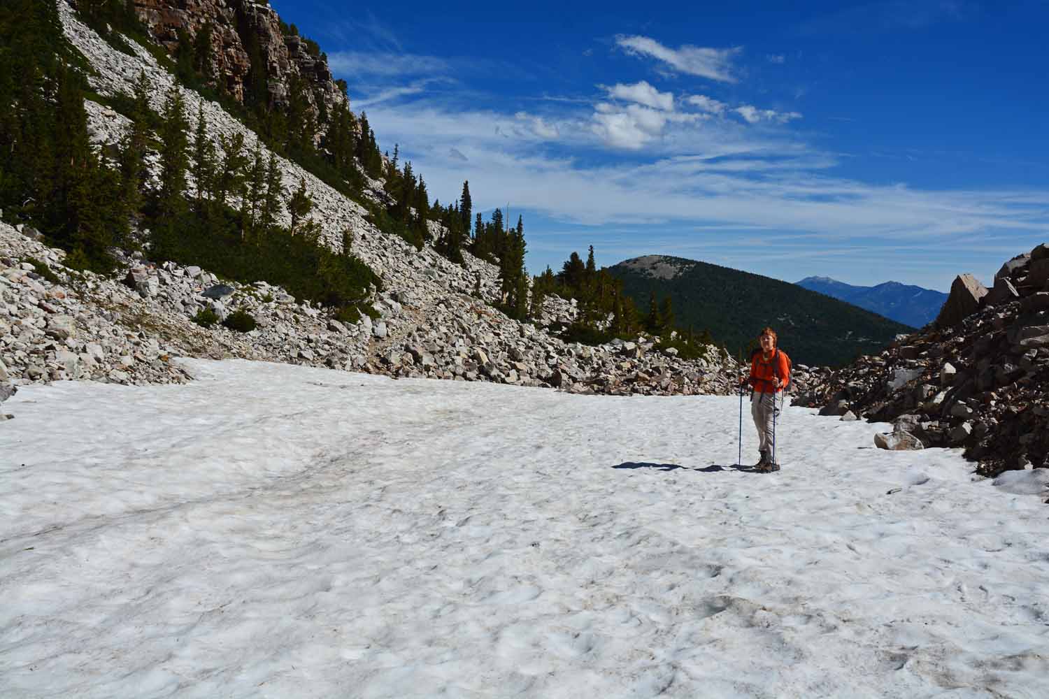
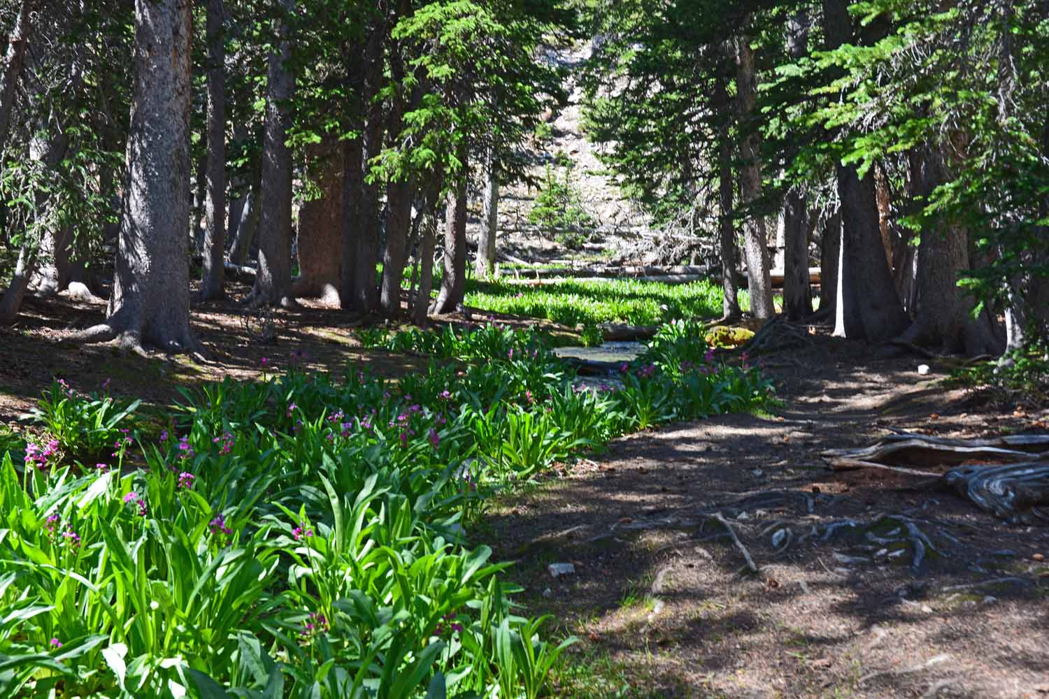
Although no big mountains to climb at Wind Cave, found some nice hiking trails to explore.

Nice stop along the trail. This country has a charm all of its own.

Looking north to the Badlands…

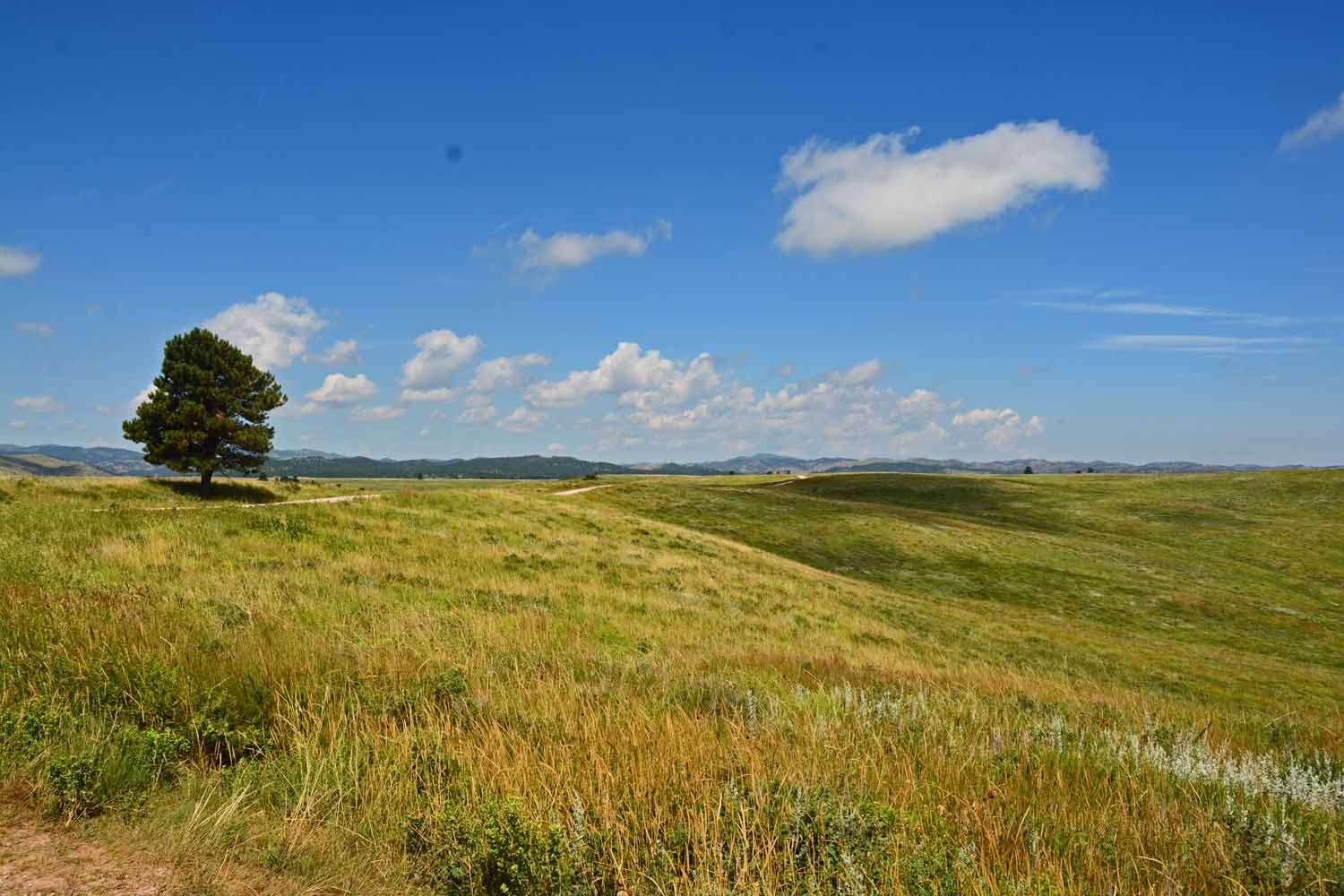
…also found some nice drives. Fun country!

Took a nice drive through the South Dakota Custer State Park ending up in the Badlands.

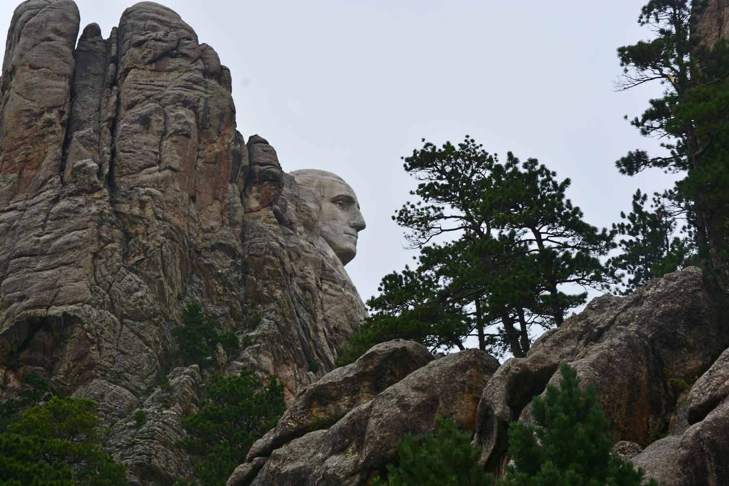
Passed by Mt Rushmore without stopping…

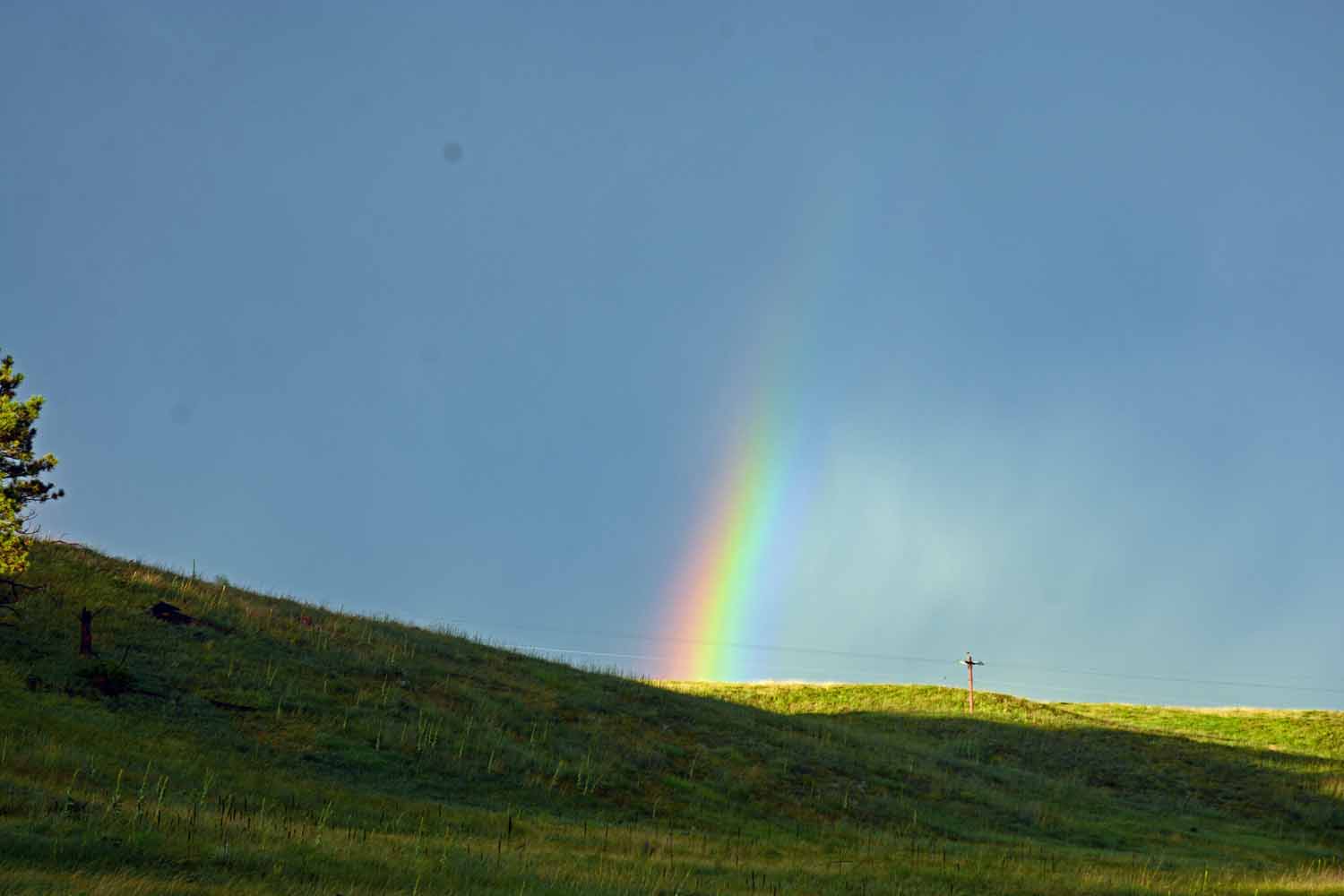
Rained the last day, produced a fun rainbow!

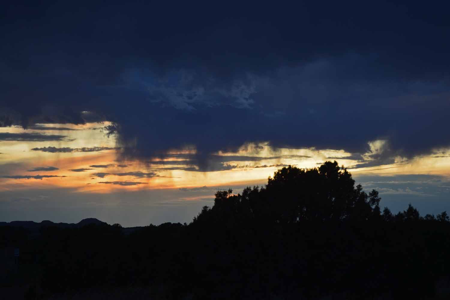
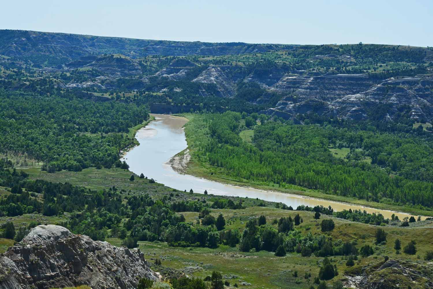
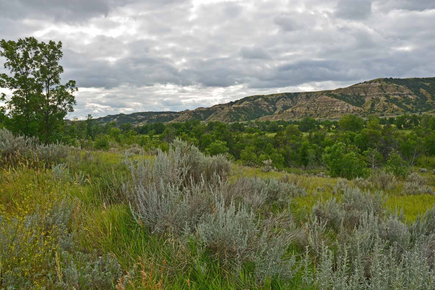
Our next move was north to North Dakota, the Theodore Roosevelt National Park. The heart of this park is the Little Missouri River and the Badlands setting. This park also has a lot of bison. Nice trails along the river plus the Badlands are just fun to experience.

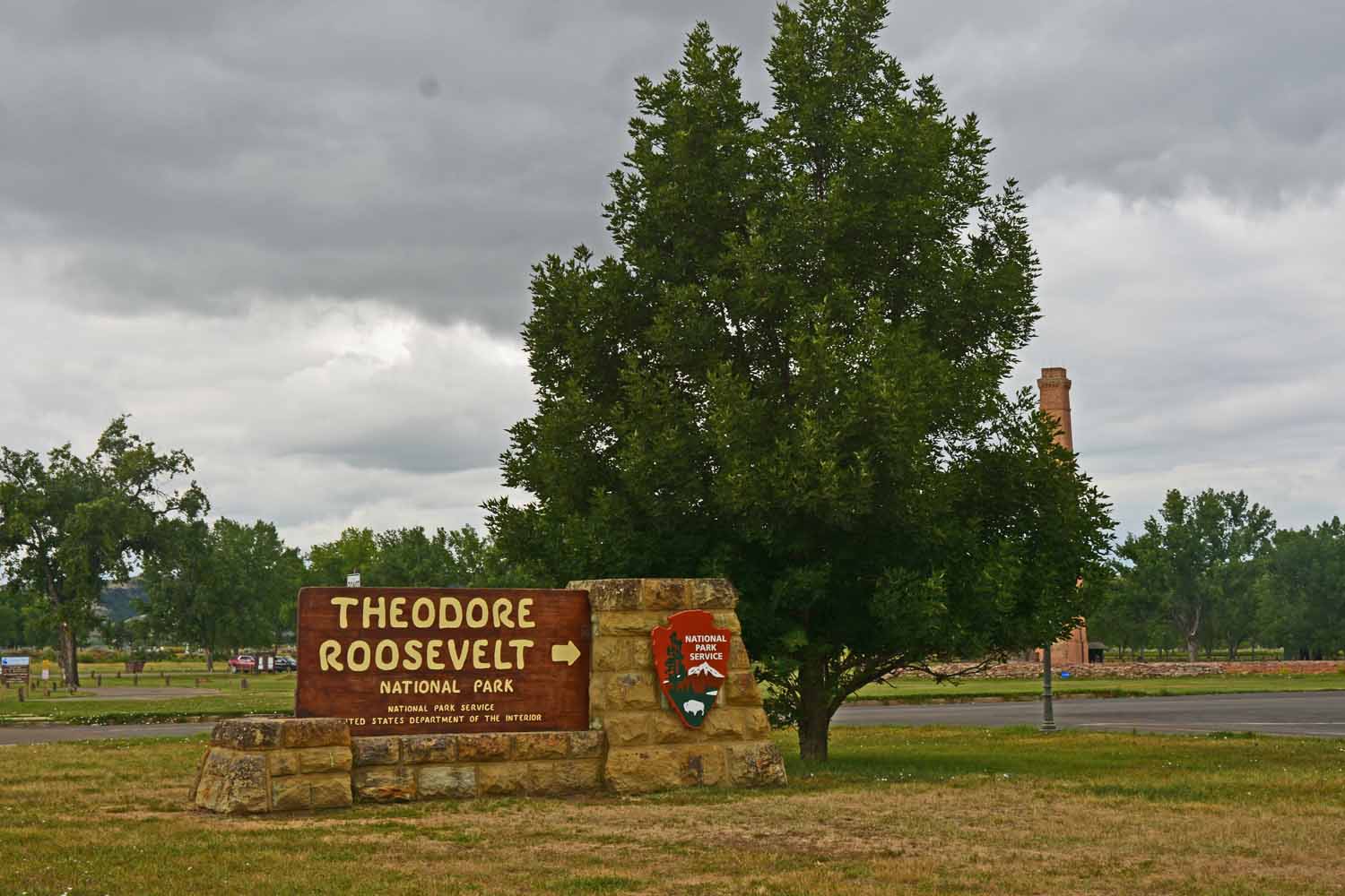
Onward to North Dakota, the Theodore Roosevelt National Park

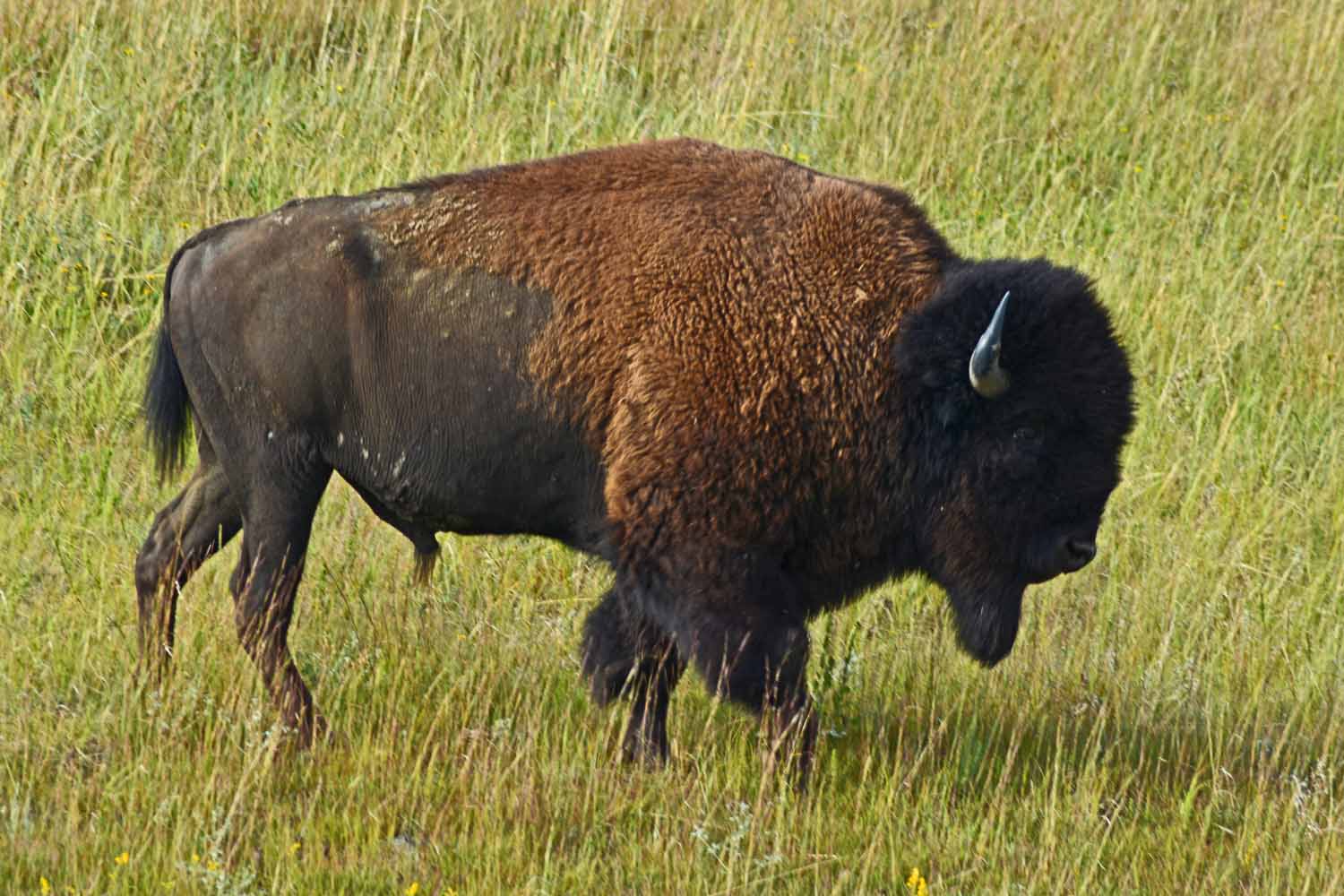
…more bison at Theodore Roosevelt.

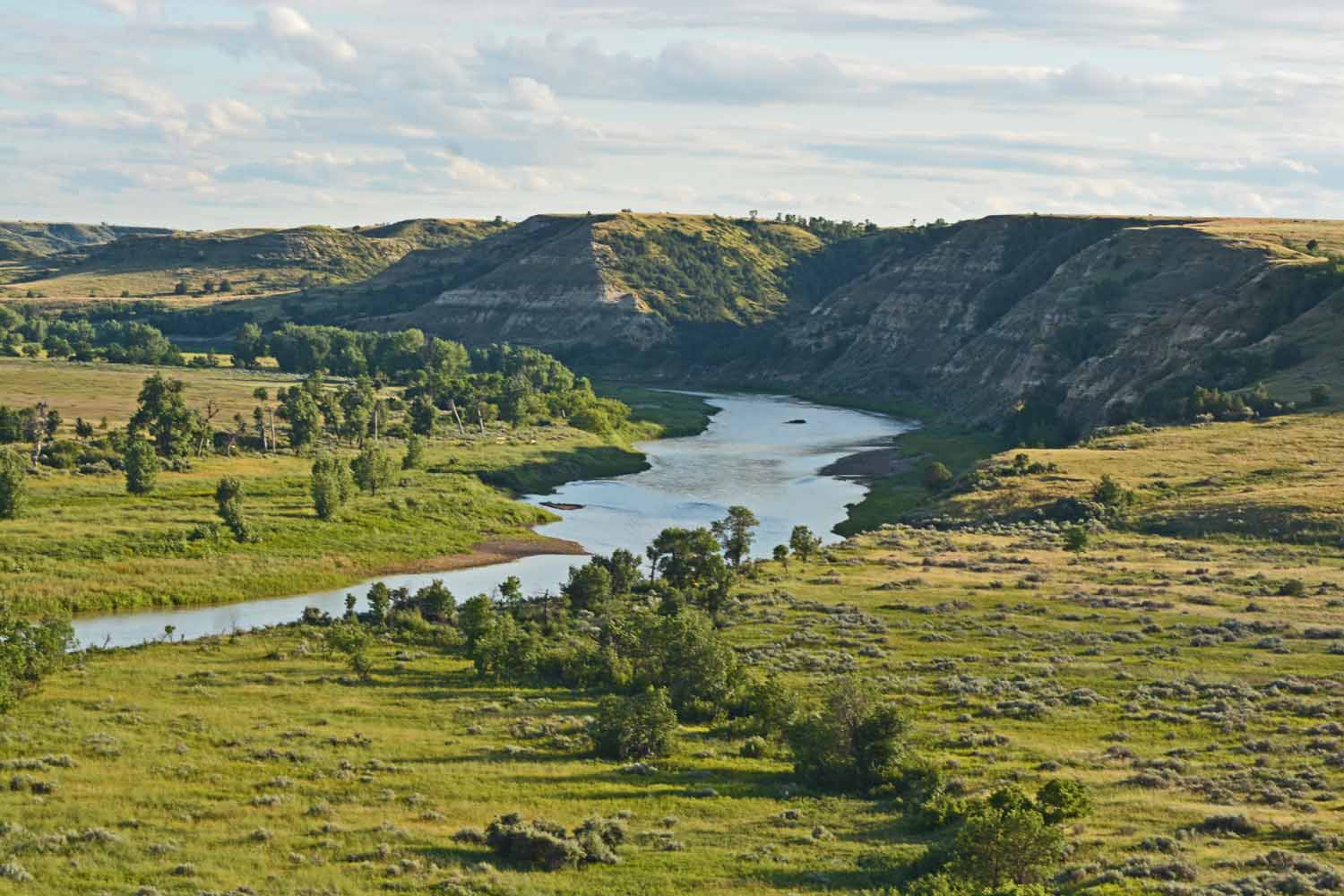
This area is the Little Missouri River Badlands. This it in the south unit.

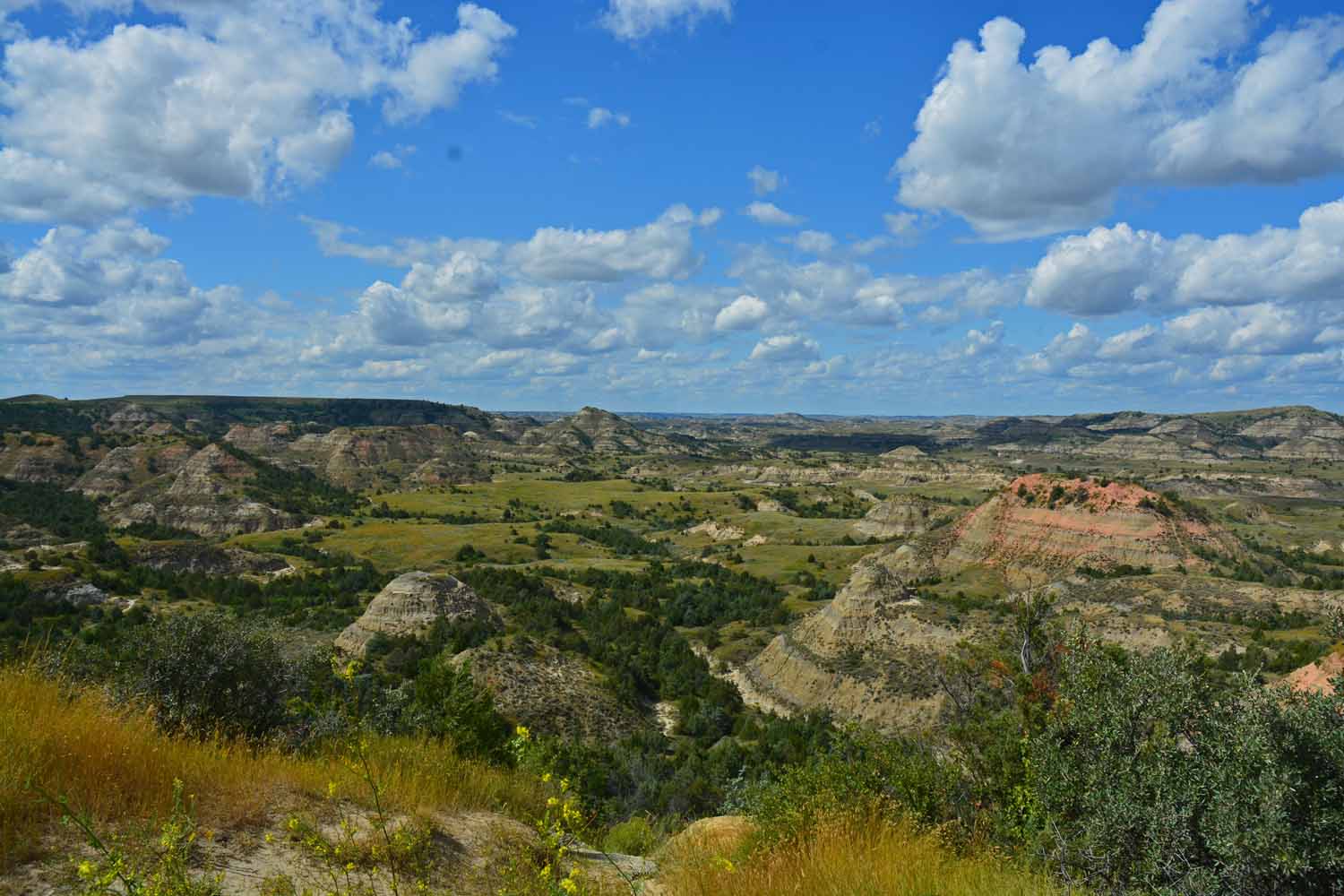
South Unit Bad Lands.

Nice South Unit Drive, not many places to hike.

The North Unit is a 80 mile drive from the South. Cool day trip to the Nouth Unit. Just over a 80 miles one-way.

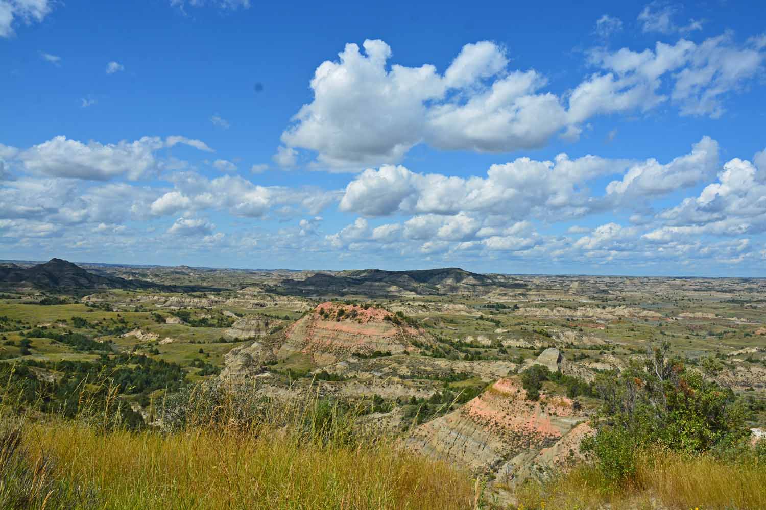
The North is just a little different.

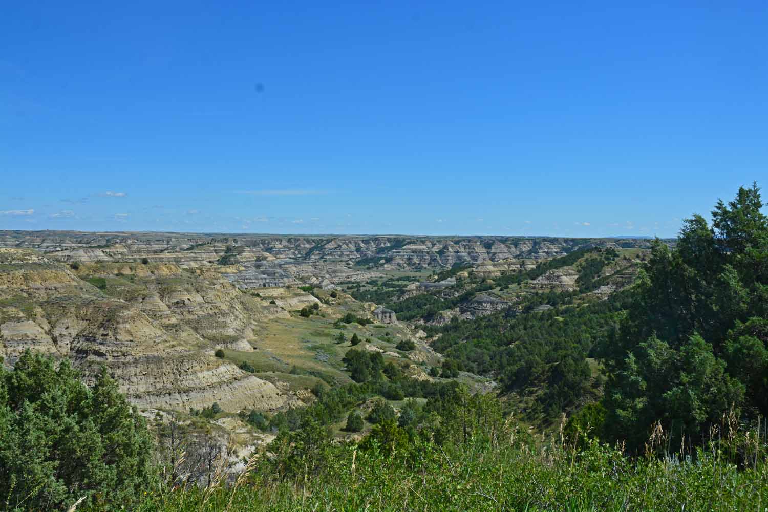
The North Unit still has that “Bad Lands” look.

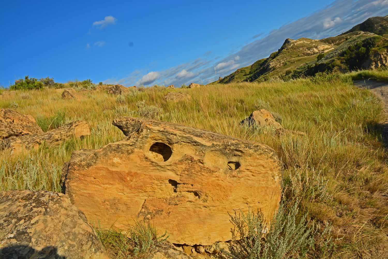
Found this guy on a short hike. Thought he had an interesting expression.

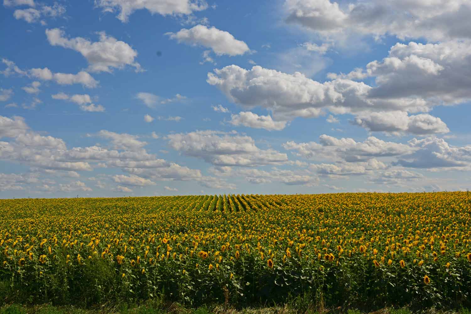
On the way back, just outside of Medora found many fields of sunflowers. Of course it took several shots to get just that “right one”.

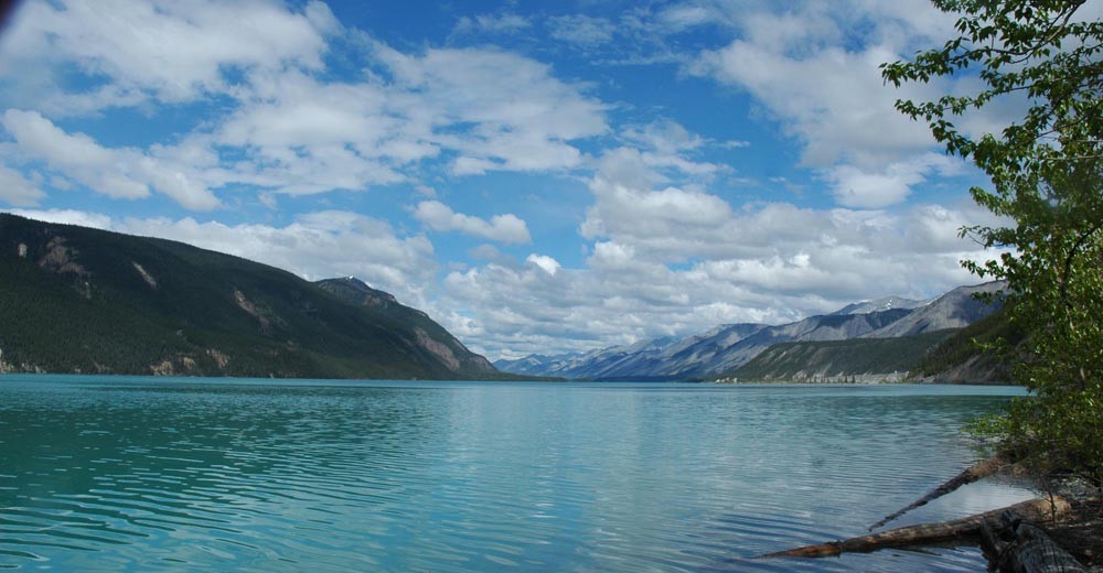
Moving from the Badlands, the next stop was International Falls, Minnesota and Voyageurs National Park. This park is all about the water and the historic waterway made famous by the French-Canadian Voyageurs. The park’s history is grounded in the era of fur trading in the 1700s between the Ojibwe Indians, the traders and filling the demand of the European markets. The Voyageurs were the transporters of their day. Lots of lore that made this an interesting and educational stop. Today this area supports a large sports fishing effort plus there is a strong environmental focus on the ecosystem. At this point we wished we had brought the kayaks. It was fun to poke around International Falls which reminded us of cities we had visited north of the border.

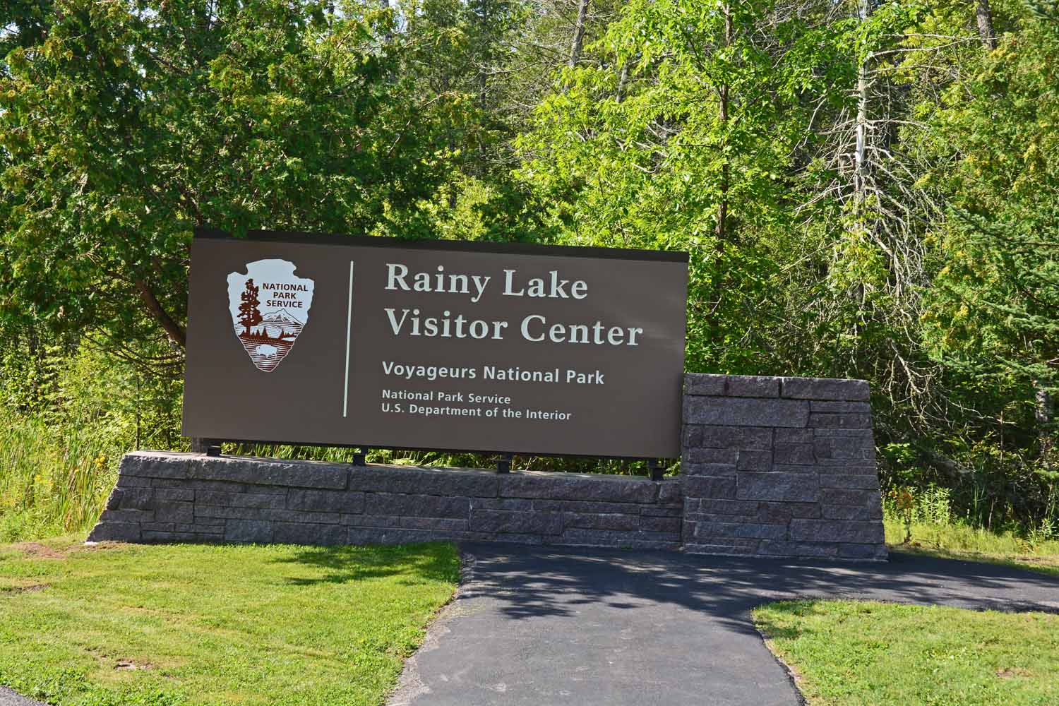
Moving north to Voyageurs National Park at International Falls, Minnesota.

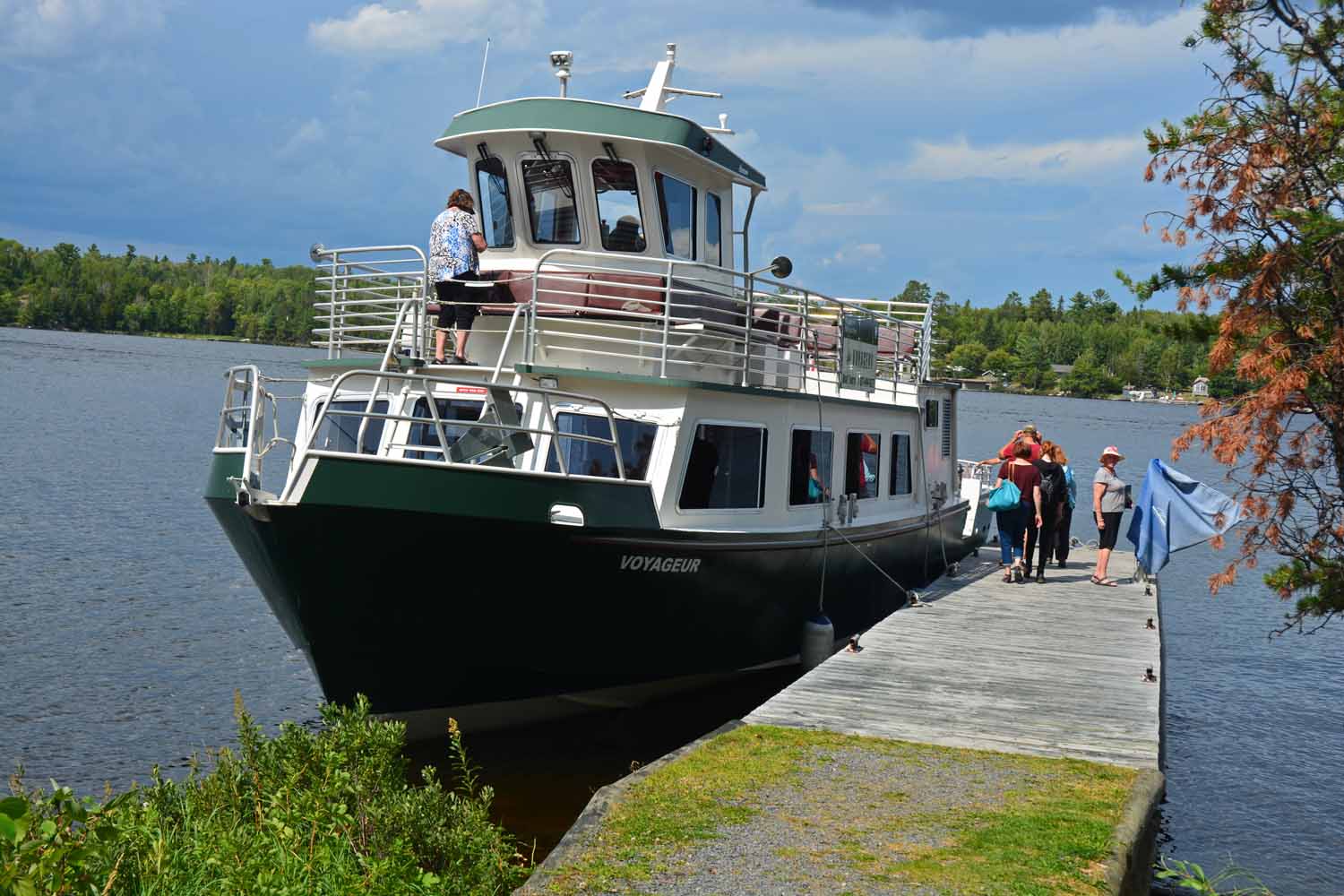
No hiking here but lots of water. Over 200,000 acres to explore by boat.

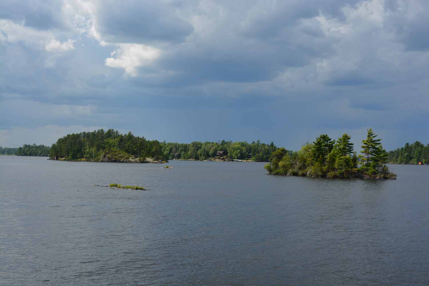
Rainy Lake…got very wet on our tour plus had to duck a bit of lighting!

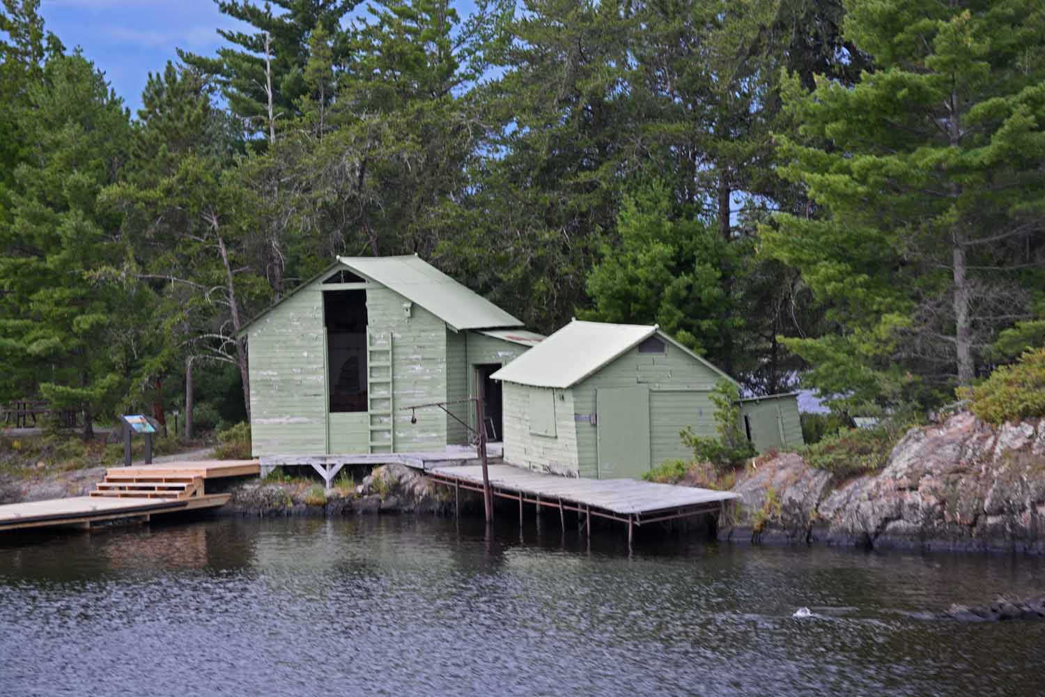
Fishing camp of the past. No more commercial fishing here.

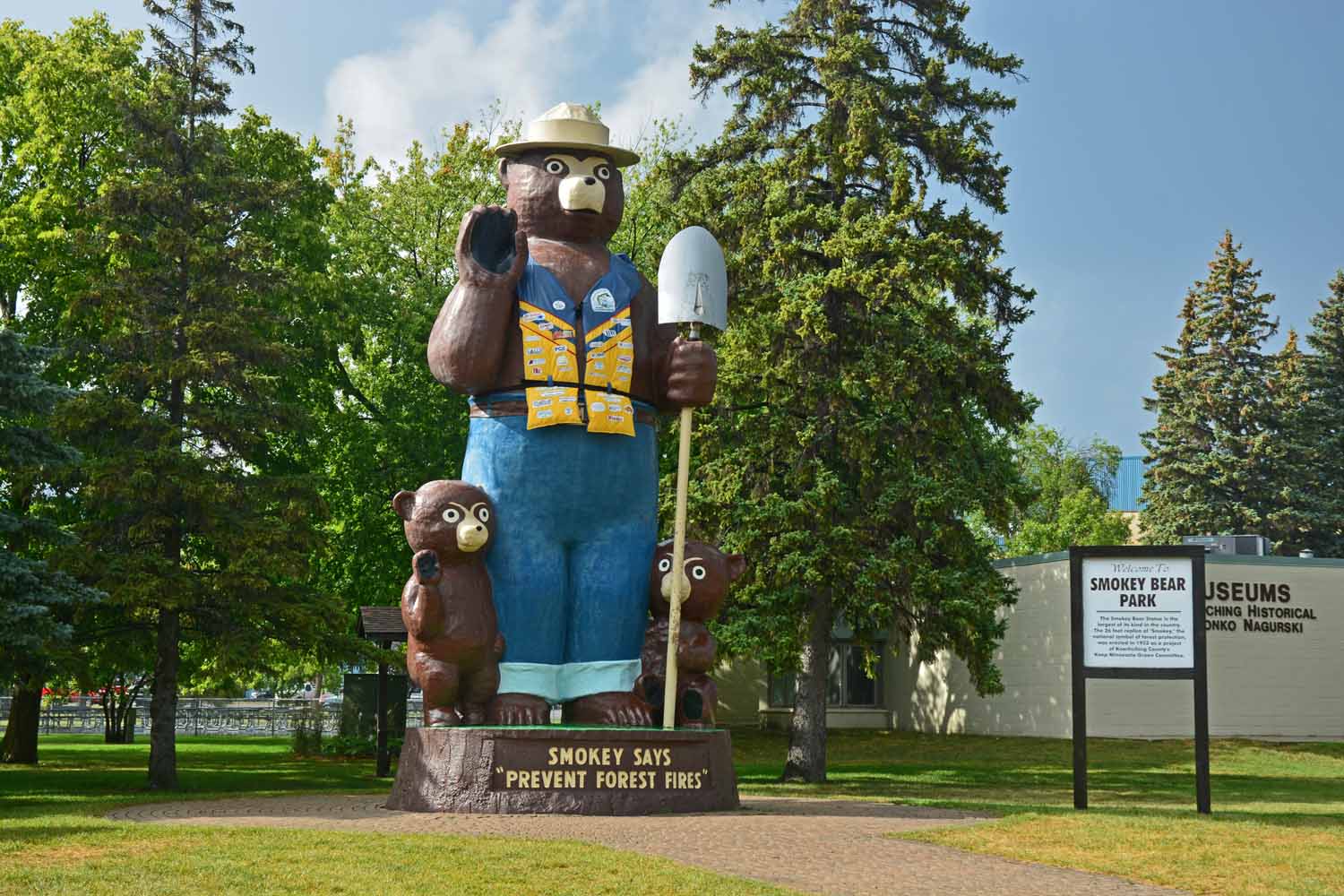
Had fun checking out International Falls. Even got to meet Smokey the Bear.

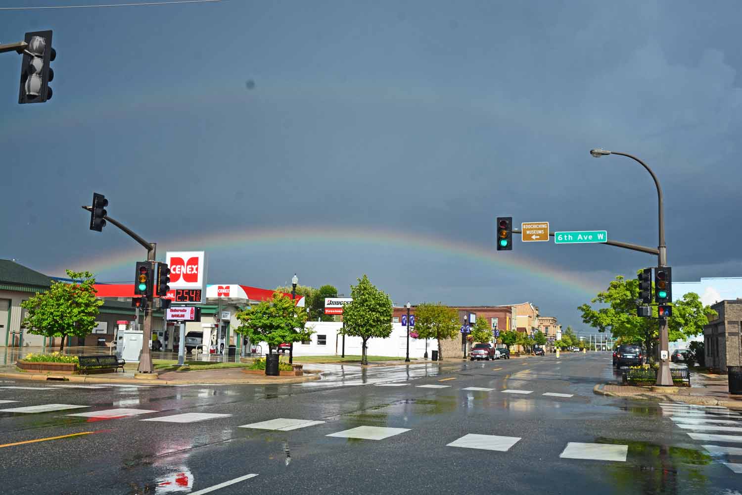
…more rain! The upside another rainbow.

Our future travel plans include spending time along the Mississippi River. On the way back south, we stopped at Sandy Lake, a Corps of Engineers park at the head waters of the Mississippi. Stay tuned as we take on that adventure in the next year or two. Again, we wished we had the kayaks and a fishing rod.

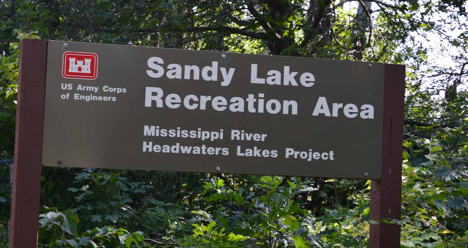
Just had to check out Sandy Lake. Head water for the Mississippi.

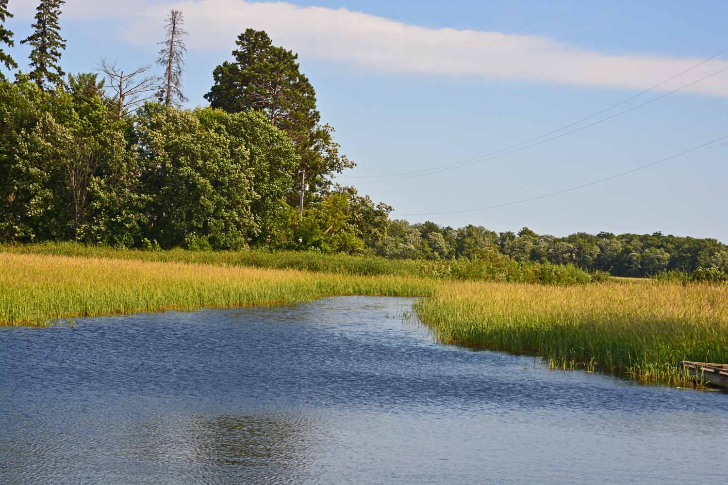
Interesting area…lots of wildlife and plenty of fishermen.

The final national park was Cuyahoga Valley. Our RV site was near Akron. Over the years had been by this park many times and did not know it existed. The park is centered around the canal between Cleveland and Akron opened in 1827. The park has over 125 miles of trails for hiking and biking. The park includes the Cuyahoga and Crooked Rivers. Here we hit the trails but wished we had our bikes to take full advantage of the canal tow path. Lots of history to check out. The plan is to go back and make this a destination stop.

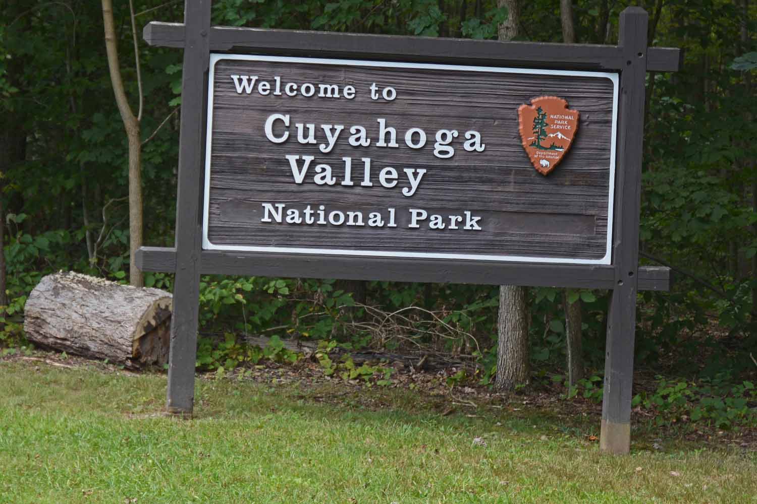
Last National Park on this tour – Cuyahoga Valley National Park…between Cleveland and Akron, Ohio.

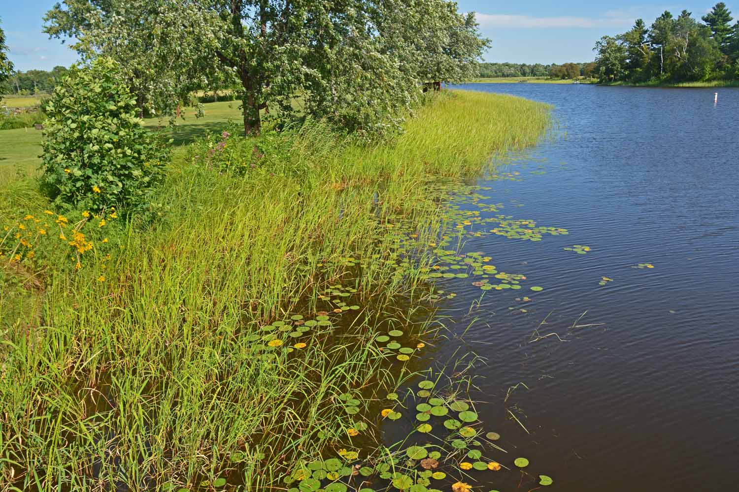
Stayed at a RV park in Akron, the Nimisila Reservoir Metro Park.

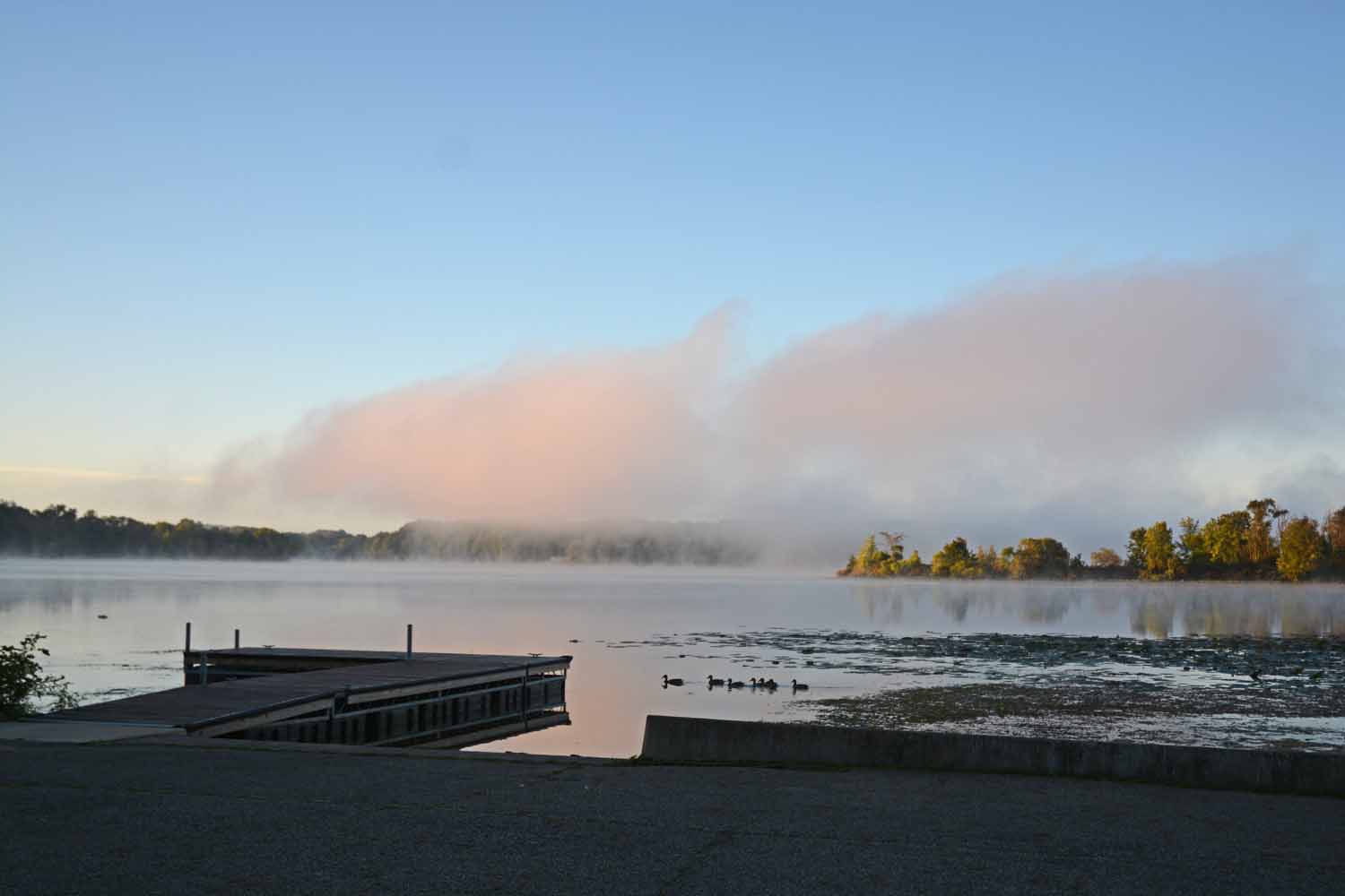
Early morning shot at Nimisila with ducks in the background and a slight feel of fall in the air…

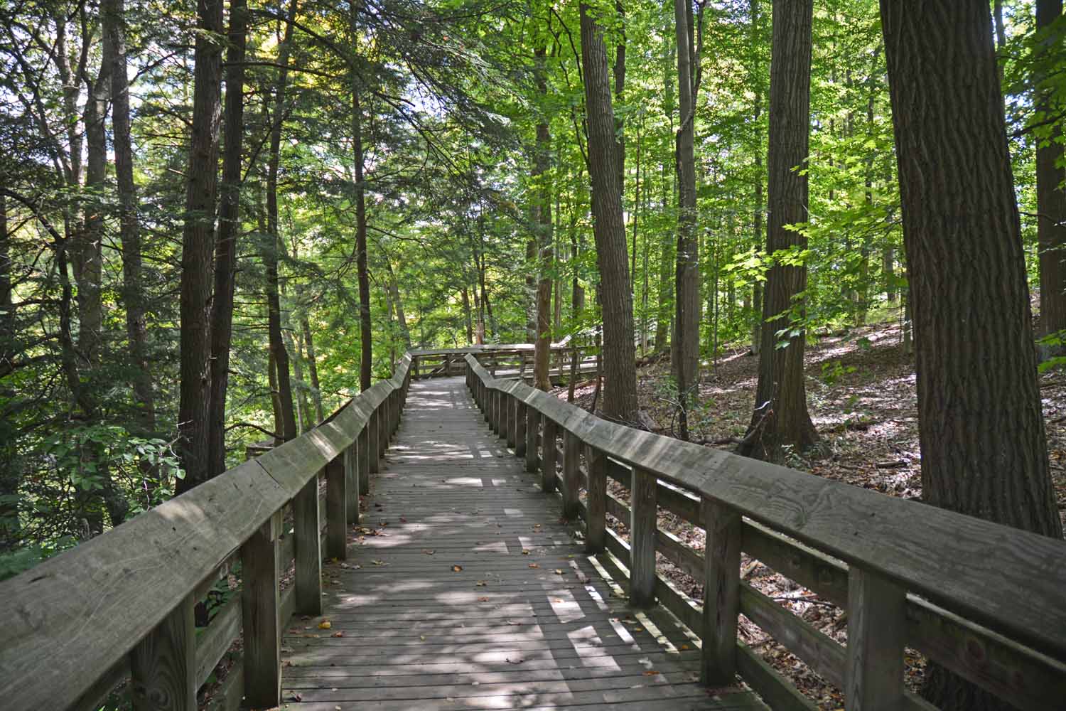
Cuyahoga Hiking Trail follows the canal and the river.

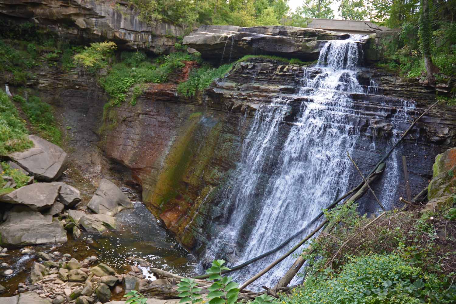
Brandywine Falls an awesome view along the trail.

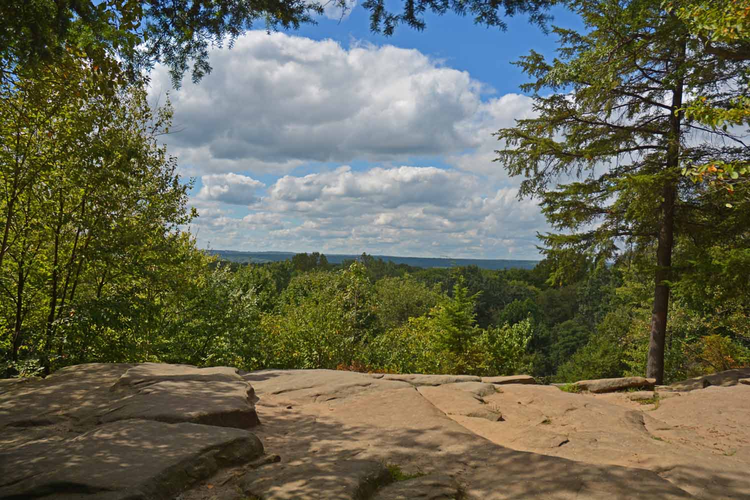
Ended our time here along the Cuyahoga Gorge Rim Trail.

The rest of the trip was more about visiting with friends and family. Made a stop at Traverse City to see if we could go back home again. The next posting coming very shortly.

God bless,

Larry and Jan

Summer Travels 2019 – National Park Tour – Part Two

The 2019 summer tour of the national parks continues. Leg two of the trip is now past history. This section tended to be off the grid resulting in a mismatch of internet access and time available. In trying to figure out what to call this leg the lowest common denominator seemed to be the desert, most of it in the high desert. The stops along the road were the national parks of the Grand Sand Dunes, Black Canyon of the Gunnison, Grand Canyon-north rim, and the Great Basin. Utah state parks also called us to Dead Horse and the Escalante Petrified Forest which included time at the Grand Staircase-Escalante National Monument. This leg was just short of three weeks.

Once we got past the generator side trip, things have gone fairly well. Well, except for the encounter of a rock with the under carriage of the RV. That is a story for another time. The weather has been really good except hitting the Grand Canyon at the monsoon season. Although the daily routine quite often does require working around the midday heat.

The first stop was the Grand Sand Dune. The area is unique in that it maintains itself with wind and water. It was created by nature from grains and pebbles from nearby mountains. It has kept its overall presence for hundreds of years. Lots to do here climbing/hiking the dunes and climbing nearby mountains plus just playing in the water which is relaxing. Normally the water in the creek would be gone by this time but this year there has been plenty of rain.

Great Sand Dues National Park and Preserve South Dakota

Great Sand Dune and the Medano Creek

Medano Creek the ripples are actually a type of wave action. Great place for family with children.

Great Sand Dunes is self contained. It continually rebuilds itself. Very cool!

Very early morning hike at the top of the first ridge. Still a couple of miles left to get to the peak.

Early morning hike and was able to catch the sunrise. The Medano Creek at the base of the mountains.

The next stop was the Black Canyon of the Gunnison. Really did not know what to expect here. The gorge cut by the Gunnison is dramatic. It is so deep and steep it is hard to see the bottom. The striated painted wall cliffs are impressive. There are rim hikes as it is not very practical to hike down. Great place to visit and take pictures, not a lot of hiking for us.

Black Canyon of the Gunnison National Park. Very different experience with great views.

Coming into the park set the stage for leaving the desert and climbing the mountains.

Jan stopping to enjoy the view as we climbed higher.

The canyons are deep, steep and narrow. Hard to find an angle to get a good photo. The Gunninson is way down there…

Canyon view…best in person.

Gunnison River up close. The drive down into the canyon was steep. Very good test of the exhaust brakes on the truck.

Last time we were in Utah we fell in love with Moab and the Dead Horse Point State Park. It looks like a smaller Grand Canyon which it makes easier to hike and get good photo shots. It is a favorite place for photographers to get outstanding sunrise and sunset pictures. At the bottom is the Colorado River which you will see again, once we get to the Grand Canyon. The park gets its name from The Legend of Dead Horse Point. There is an area in the canyon called the neck where the cowboys of old would herd wild horses to pick the best. The story goes once they left the remaining herd behind in the corral where they perished within a few feet of the river. They also mine Potash here which is pumped into pools, dried and they used for fertilizer. Yes, we plan to come here again.

Dead Horse – Utah State Park near Moab…repeat visit…this is surely a favored stop.

Colorado River is impressive…

The potash ponds stand out in the canyon. Not sure it adds to the view. However, the color makes for a great picture.

West rim view. The detail is amazing.

Jan hiking on the east rim.

Lots of interesting formations. Yes, I took a lot of photos and was hard to pick just one.

Looking from the rim trail you can see we are in the desert.

This guy joined me while I was waiting for the sun to come up. Lots of Ravens around to make life interesting. They will pick up anything glittery.

Dead Horse is a great spot for sunrises. This is day one.

Sunrise day two.

Sunrise day three.

Sunset from the campground. It rained almost every evening and this day was no exception.

Last time we visited Utah there was not enough time to catch the Grand Staircase-Escalante area. This is diverse and colorful area as you will see from the photos. The landscape puts on a show all by itself. The layers and the colors never stop. There are many slot canyons which are fun to explore and experience. We did a lot of hiking and driving. At the end we wished we had one more day!

Grand Staircase-Escalante National Monument. Known for the colorful layers in the mountains and cliffs. Another great adventure in Utah.

Grand Staircase mountains…

Long view from the top.

The Grand Staircase is known for its slot canyons and red rock. Nature here at its best.

Great hikes, just fun to be on the trails. Note the different rock on each side of the canyon.

This drive from Escalante to Canyonland is highly recommended. Loved the views being between the canyons.

The Calf Creek trail has impressive views. There were a large number of folks also enjoying this hike.

The layered rocks, the different colors makes for an interesting experience.

Calf Creek Falls the reward at the end of the trail. This is listed as the highest falls in Utah.

Cool shot with trees in the foreground. The Utah red rock is dominate however.

In this shot the sky is a nice backdrop for the different color rocks. The Grand Staircase at its best!

A destination side trip is Devil’s Garden. However getting there was 30 plus miles on a very rustic road which was an adventure in its own rite.

This is a small representation of Devil’s Garden. It was a truly unexpected experience. Reminded us of Bryce Canyon just down the road a 100 miles.

Great shot. Had a fun time there even with the temps pushing 100.

We sited the RV at the Escalante Petrified Forest State Park. This park actually had a lot of Petrified Wood more than we have seen at previous stops over the years. Unpredictably, we spent some time exploring the park and trails. There was an easy /lower trail which was curated and very fascinating. The higher section was more aggressive, more interesting and not well marked. Yes, I got lost on one of those early morning hikes. Mainly because, I was more interested in what was along the trail instead of focusing on where I was going. However, I did find my way back, eventually.

The base camp for the stop in Escalante was the Petrified Forest State Park. An unexpected experience. Actually there was a lot of Petrified wood everywhere.

The park had a small lake and a very large dam. Walking the dam you could see where the main road use to go. For some reason this scene caught my eye telling a story of days gone-by.

The petrified wood here is very colorful. This piece along the trail and standing the test of time.

The petrified trail in the state park was brutal. Was an early morning walk getting into a little more than I bargained for. Note the large pieces of petrified wood along the trail.

The Grand Canyon-North Rim was out of the way for this trip. After doing the South Rim a few years back it just seemed like we should do it. The word on the street was it is not as busy. The footprint seemed smaller. In the four days that we were there we did all the trails we wanted and saw many great sights/views. The weather did get in our way but never stopped us for a full day. Good experience and yes, we could go back if the opportunity ever presented itself.

The north rim of the Grand Canyon has been calling us. It is hard to get to so this time it was a destination.

The lodge at the park. Great place to hang out. Being there in the monsoon season gave us plenty of time to check it out. Here is a shot from the last day when finally there was sunshine.

The trail to Bright Angel Point. Great day for a hike. Earlier in our trip we did this walk with rain coats.

This point is called angels window.

Colorado River at the bottom of the canyon. Can you find where it goes?

It is a long hike to the bottom. At least a two day hike down and back.

Grand Canyon

More Grand Canyon views. Note all the haze from local fires and smog from the West.

Grand Canyon, still hard to see the Colorado River.

View from one of the rim trails. We did several during our stay. Great experience!

Set the timer on the camera for this shot. You can surely tell this was over posed!

The final stop for this leg was the Great Basin National Park in Baker, Nevada. You have to want to go there as you need get through the desert if you come from the south. The high elevation worked ok but glad we had got to practice breathing thin air before we got here. It was very hot during our time here. The park also has the Lehman Caves which are unique in their own rite. The hikes were challenging and rewarding. The remoteness for this park was a bit scary. The pictures tell the story of our stay which was fun, interesting and educational.

Next stop was the Great Basin National Park in Nevada.

Lots of desert to get to this park. Drove all day and ended up in Baker which has a population of 68.

Finally the desert gives way to the mountains.

Great mountain setting, very high, a self-contained basin in a somewhat narrow area in Nevada and California. Any rain that falls here stays here. It is a sagebrush desert with very interesting shallow salt lakes, marshes, and mud flats.

A surprise was Lehman Caves. Actually most of the visitors came for this experience.

Lehman Cave – very different, has lots of history and was a much different experience than Carlsbad earlier in the trip.

More cave pics…

A large area dedicated to the Bristlecone Pine trees. The oldest living trees dating back over 2,000 to 3,000 years or more. This tree just refuses to die adapting to adversity successfully.

Bristlecone Pine Grove

Another fun hike here to 13,000 feet to the Wheeler Glacier. It is getting smaller over time. Still a nice experience to get away from the 100 degree temps at the bottom of the mountain.

Jan on the glacier, getting ready to head back down.

Teresa Lake has great color plus a fun stop heading back down the mountain.

Stella Lake a second stop on the trail. There are fish here but none in Teresa Lake. Still above 12,000 feet.

This creek was below the lakes. It was a tranquil natural park like setting. Note the Wild Primroses along the creek. Nice way to end the hike.

This completes this section for the trip. Next time there will be more national parks, four to be exact. The last post will be our time with family and friends as we get back to Michigan and the Midwest. This trip has gone so fast. It is hard to grasp that the trip is already 50% over. Really enjoying seeing the country and meeting new people. Home is still a long way off and is not calling us back.

God Bless,

Larry and Jan