Yosemite to Joshua Tree National Parks – Summer Travels 2016 – Part Three

This will be the third posting for our summer of 2016 travels. Last year was Utah and this year the majority of our time is being spent in California. After leaving Lassen NP we looked forward to the next stop at Yosemite NP. Getting from Lassen to Yosemite was one of our bigger travel days and the roads to get there were technical as many of them were in the mountains. I must say by the end of this summer I will have certainly earn my mountain driving badge.

Our expectation was Yosemite would be crowded but our hope being after Labor Day the crowds would be down. Our travel plans had us there on a weekend which in retrospect was not good planning. There were three times we had to sit in grid lock traffic seemly for hours. There was lots of construction but there were also so many people. By the end of our stay our response was to just dumb down our itinerary to avoid the masses. The bike became the main mode of transportation. Many of the park services were already being cut back as it is considered the shoulder season. With all this activity left us trying to imagine what the peak season experience would be like.

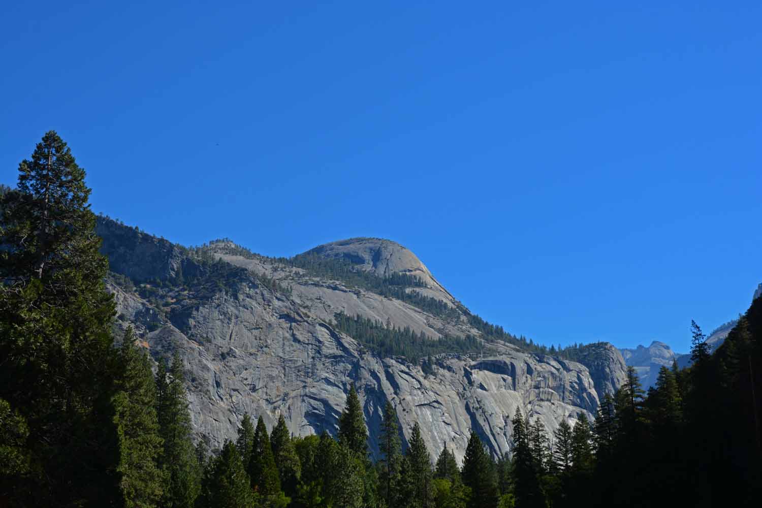
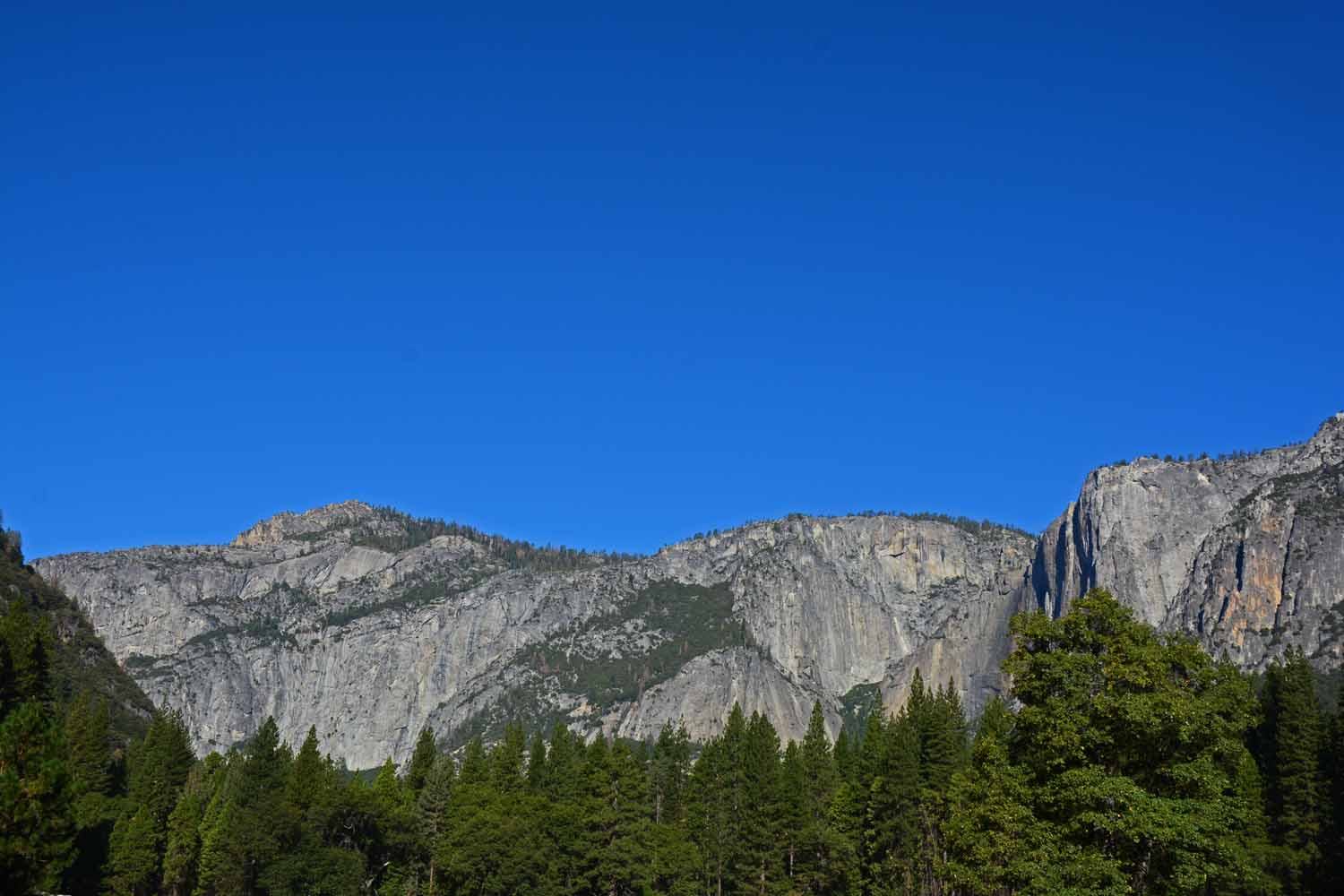
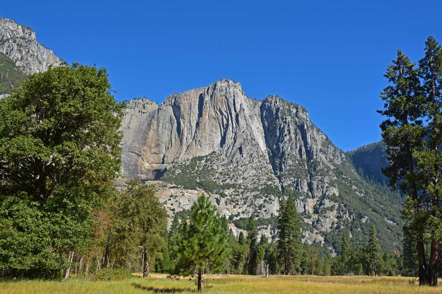
That being said Yosemite is a beautiful place. It has so much to offer, the hikes are great and the views are outstanding. Pictures to follow of our experiences with the High Sierras, the Valley and Granite Cliffs.
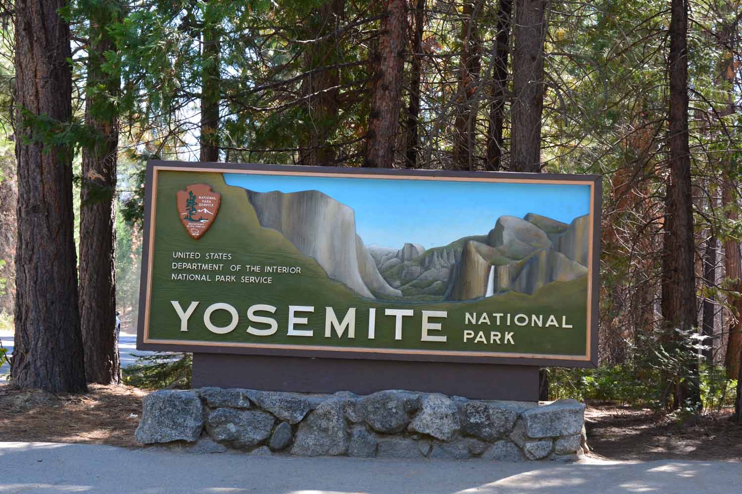
Yosemite NP has been on the bucket list for a long time.  It was good to finally get there to see if all the good things we heard were true.

Yosemite NP has been on the bucket list for a long time. It was good to finally get there to see if all the good things we heard were true.
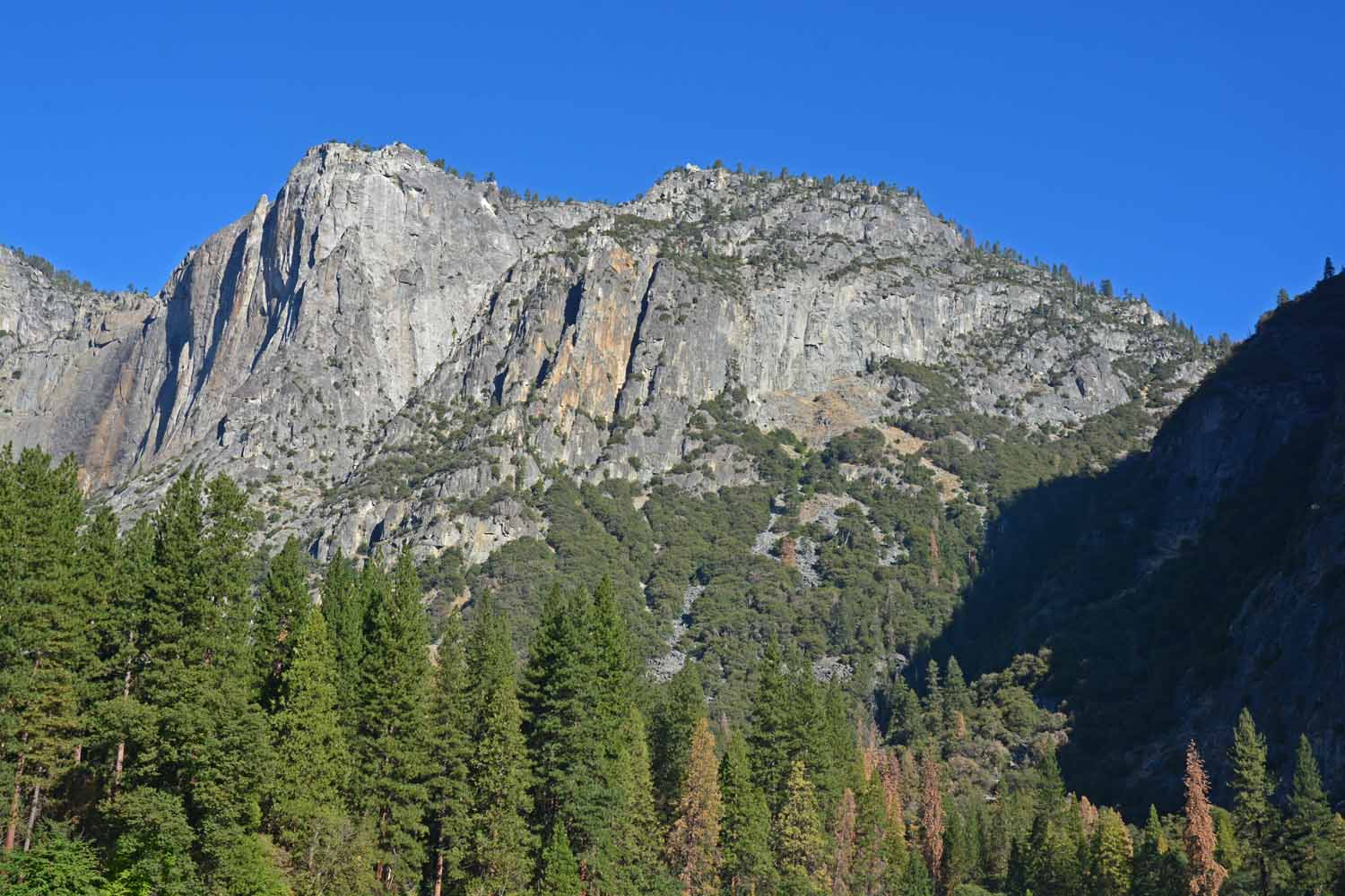
Lots of granite in Yosemite.  One of the more famous is El Capitan.  It is imposing and very photogenic in the valley looking up!

Lots of granite in Yosemite. One of the more famous is El Capitan. It is imposing and very photogenic in the valley looking up!
Another great granite formation is Half Dome.  It is sheer on one side and dome  like on the other three. It never was a full dome and was created by volcanic activity.   There is a very popular hike to the top which we did not do as it was too much on "the edge" to suit Larry's comfort zone.  We did get to view it from several different vantage points however.

Another great granite formation is Half Dome. It is sheer on one side and dome like on the other three. It never was a full dome and was created by volcanic activity. There is a very popular hike to the top which we did not do as it was too much on “the edge” to suit Larry’s comfort zone. We did get to view it from several different vantage points however.
Half Dome from the valley floor.

Half Dome from the valley floor.

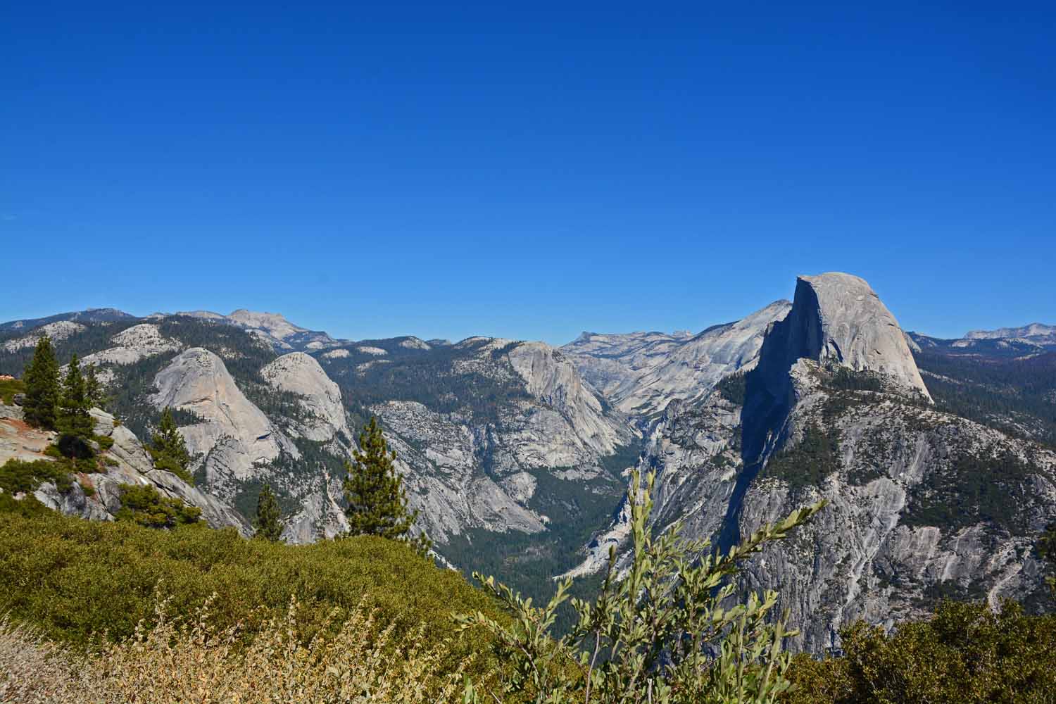
Half Dome from the side and up on the mountain.  You had to be there to get the full impact of the grandeur of the park.

Half Dome from the side and up on the mountain. You had to be there to get the full impact of the grandeur of the park.
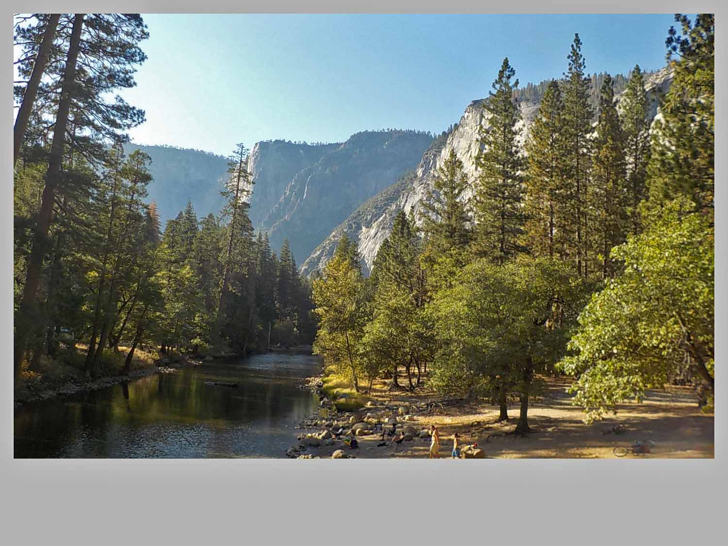
Taken from the valley floor.  The beauty of the Yosemite NP is breathtaking.

Taken from the valley floor. The beauty of the Yosemite NP is breathtaking.

Took this on a bike ride through the valley.  Great spot for hikers to get in the water to cool off after a long hike.  The weather was great for our visit mostly in the 80's which made the water inviting.

Took this on a bike ride through the valley. Great spot for hikers to get in the water to cool off after a long hike. The weather was great for our visit mostly in the 80’s which made the water inviting.
Another bike ride photo.  Everywhere you went there was another photo opportunity.

Another bike ride photo. Everywhere you went there was another photo opportunity.

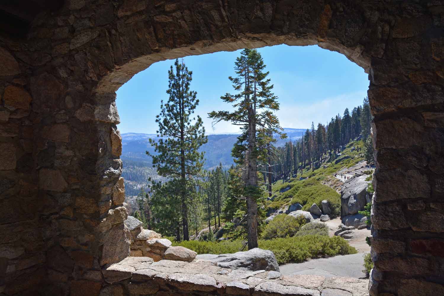
If you have not experienced the drive to Glacier Point at Yosemite, it is highly recommended.  It takes more than a hour to make your way up the mountain road.  There is a lot to see along the way and once you get there you are looking across the valley to the other side.  This picture is framed from a stone building at the top.

If you have not experienced the drive to Glacier Point at Yosemite, it is highly recommended. It takes more than a hour to make your way up the mountain road. There is a lot to see along the way and once you get there you are looking across the valley to the other side. This picture is framed from a stone building at the top.
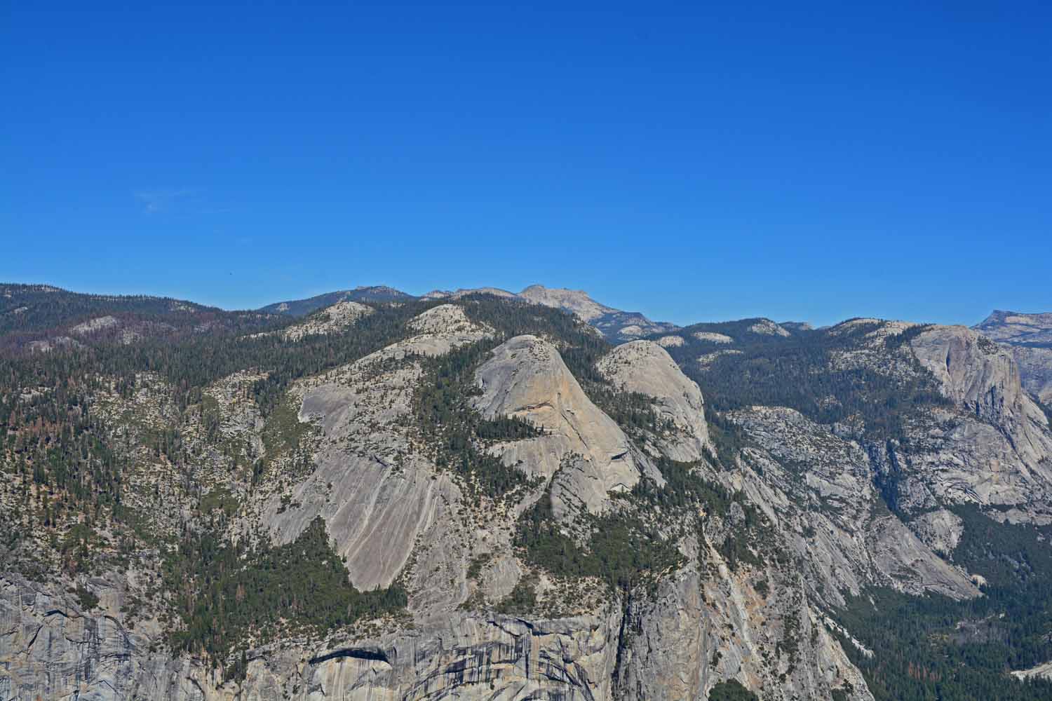
View from Glacier Point looking across the top of the mountains.

View from Glacier Point looking across the top of the mountains.

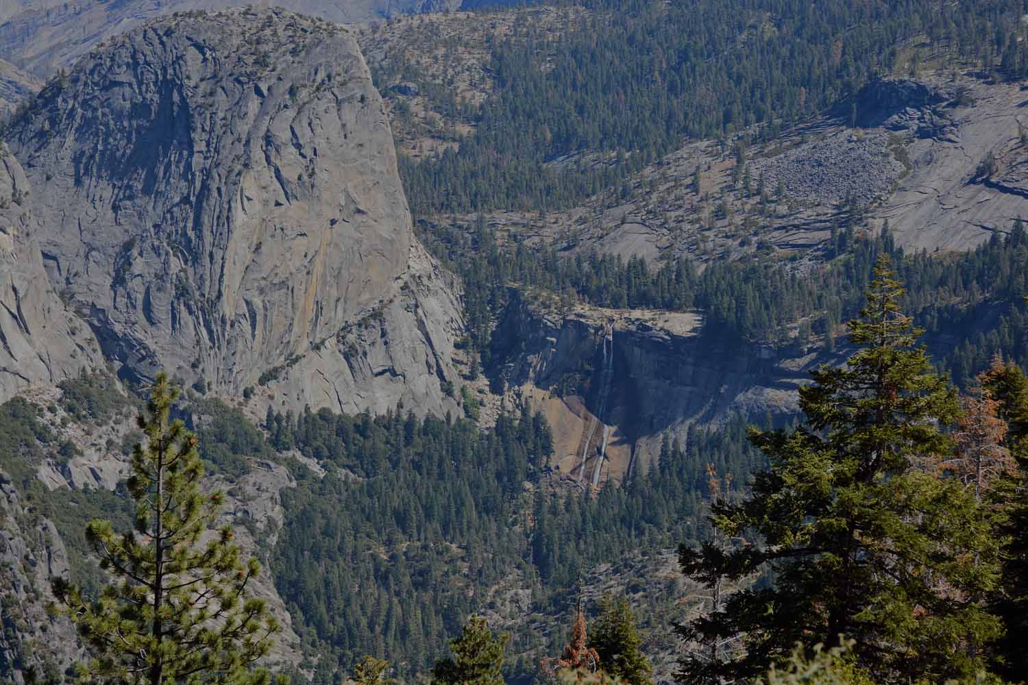
In September the Yosemite waterfalls slows down to trickle.  This shot is from Glacier Point looking across the valley.  We did not hike the trails to the falls so this is the only picture you will get.

In September the Yosemite waterfalls slows down to trickle. This shot is from Glacier Point looking across the valley. We did not hike the trails to the falls so this is the only picture you will get.

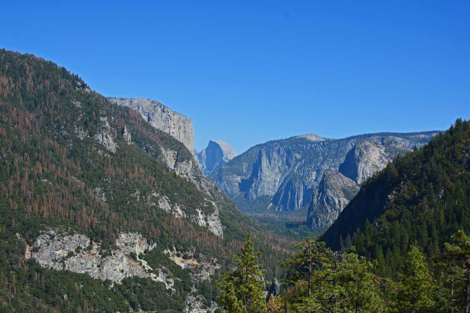
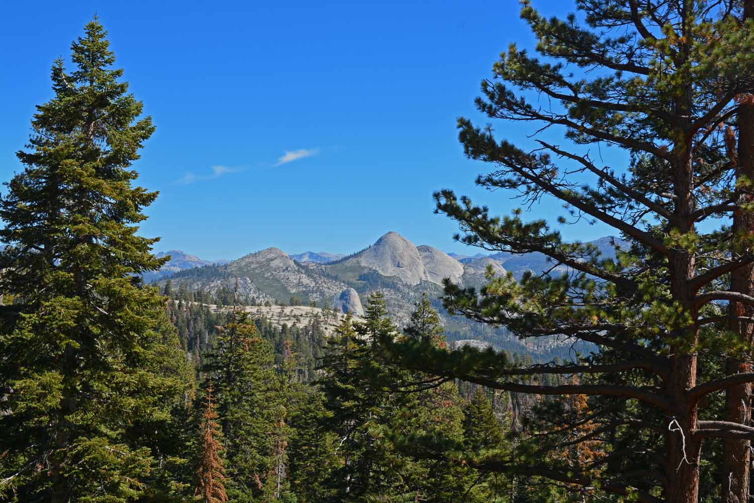
Can you pick out Half Dome...  Taken from the Glacier Point road.

Can you pick out Half Dome… Taken from the Glacier Point road.

The next stop was Sequoia and King Canyon National Park. They are connected but driving through them in just one day would be hard. The internal park road is very narrow, winding and travel is slow. One day we spent at Sequoia which gave us enough time to do hikes and see most of the park available by road. The next day was King. To get there we took the country road short cut. All I can say is it was not made for two cars to pass in some places and it seemed like either one side of the truck or the other was always on the edge. Even with the logistic challenges these two parks are outstanding for different reasons. One had great trees and the other great mountains. Our base camp in Three Rivers was one of the better park picks so far this trip. Again pictures to follow so judge for yourself…
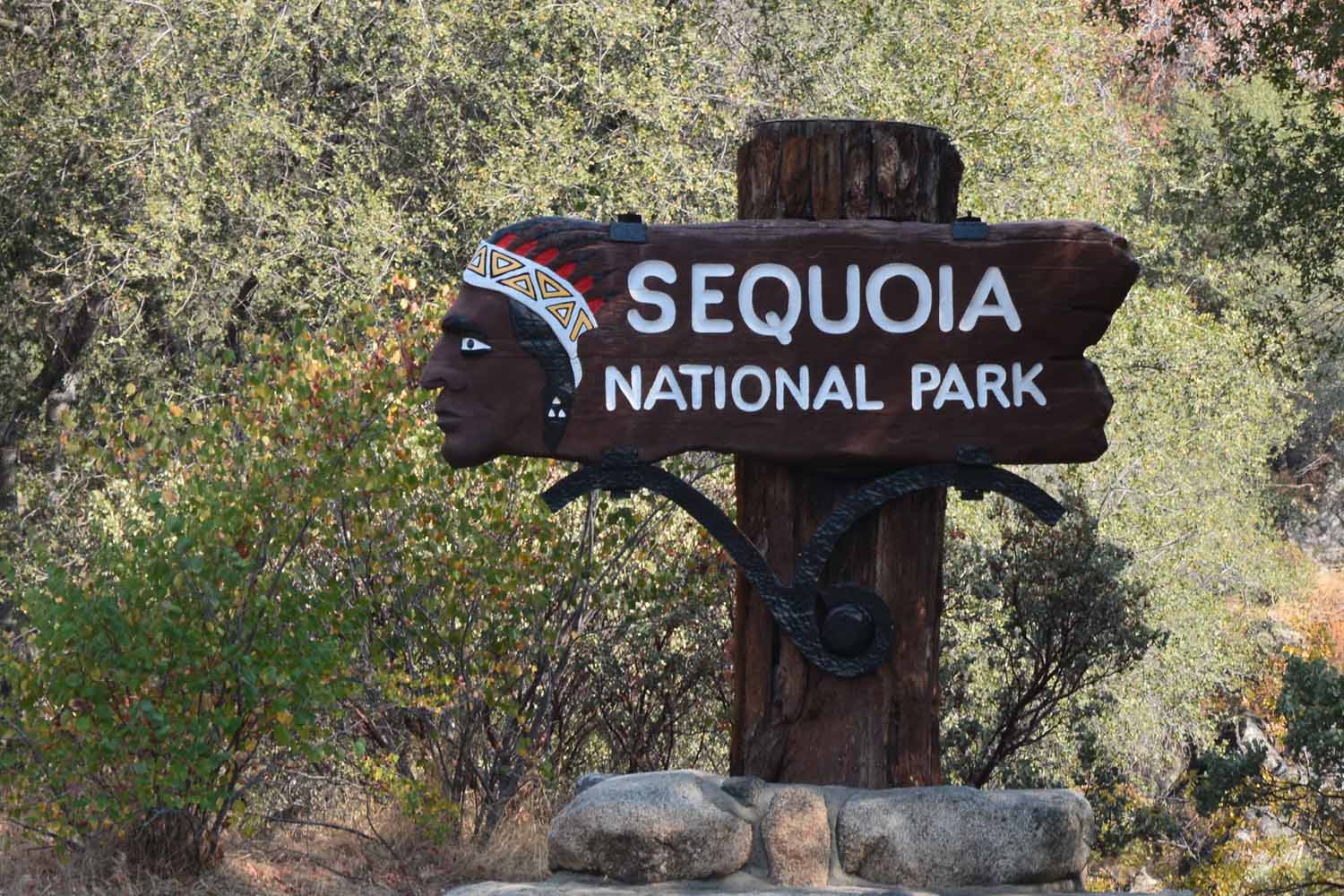
Sequoia was a day drive from Yosemite.  Another awesome national park in the Sierra Nevada Mountains.

Sequoia was a day drive from Yosemite. Another awesome national park in the Sierra Nevada Mountains.
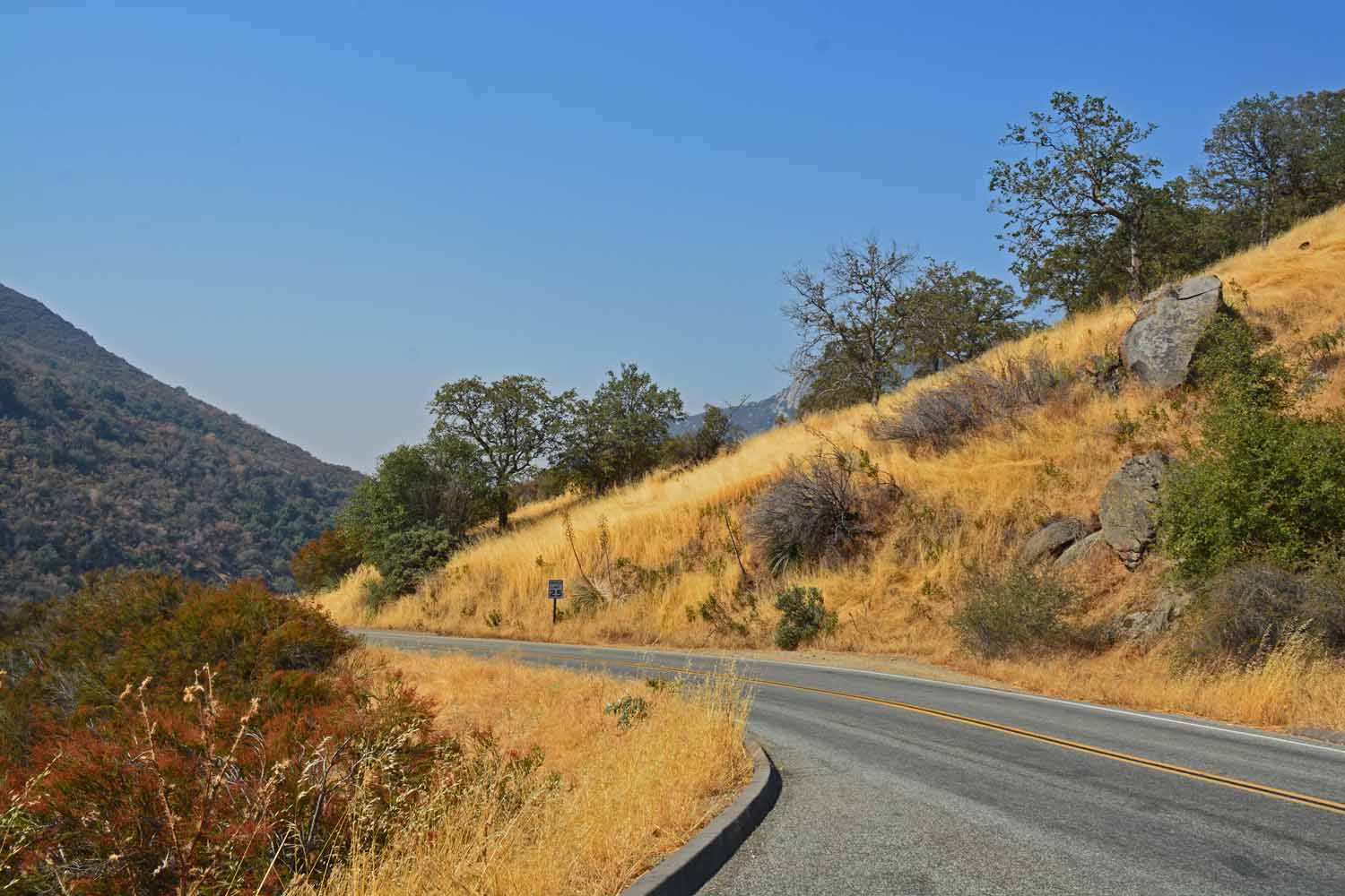
There has been a lack of rain in this area for several years.  The grass was brown and many of the trees are under stress as you will see from the following photos.  That being said the golden grass makes for a great background in this shot set off by the green shrubs and blue sky.
There has been a lack of rain in this area for several years. The grass was brown and many of the trees are under stress as you will see from the following photos. That being said the golden grass makes for a great background in this shot set off by the green shrubs and blue sky.

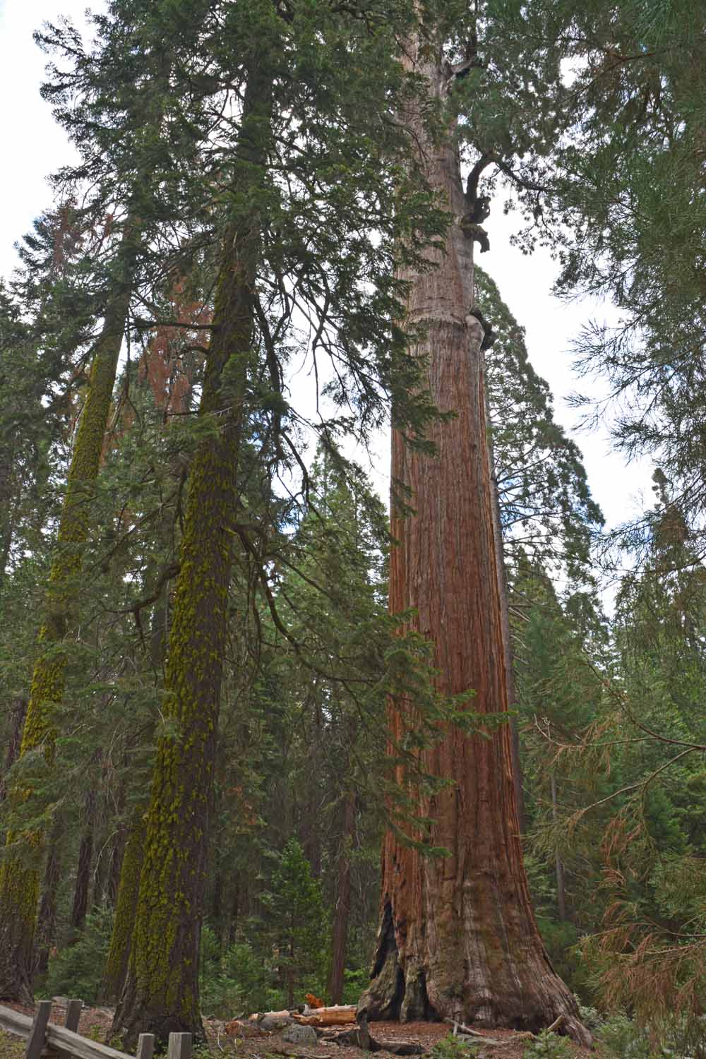
We now get to experience the big Sequoia Trees the namesake for the National Park.  They are not as large as the Redwoods on the coast but they are still massive.   Sequoia are generally found inland and at elevations of  5,000 to 7,000 feet.  The canopy is not as dense which means you get a lot more light to work with.  Getting a better understanding of the Sequoia's was a learning experience.

We now get to experience the big Sequoia Trees the namesake for the National Park. They are not as large as the Redwoods on the coast but they are still massive. Sequoia are generally found inland and at elevations of 5,000 to 7,000 feet. The canopy is not as dense which means you get a lot more light to work with. Getting a better understanding of the Sequoia’s was a learning experience.
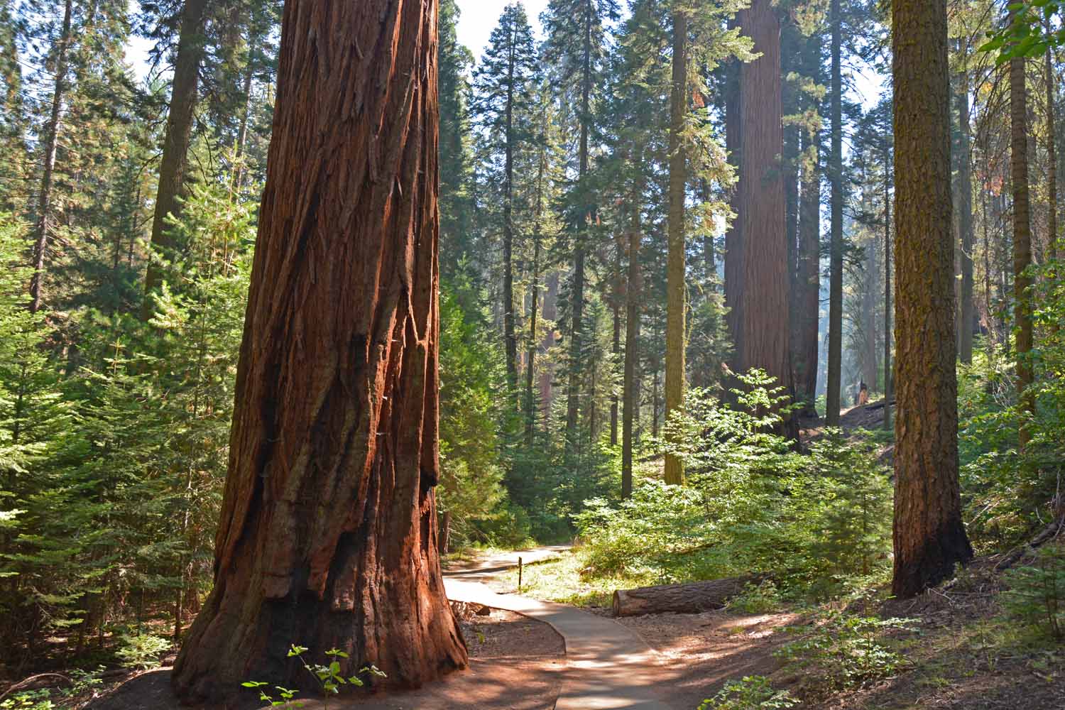
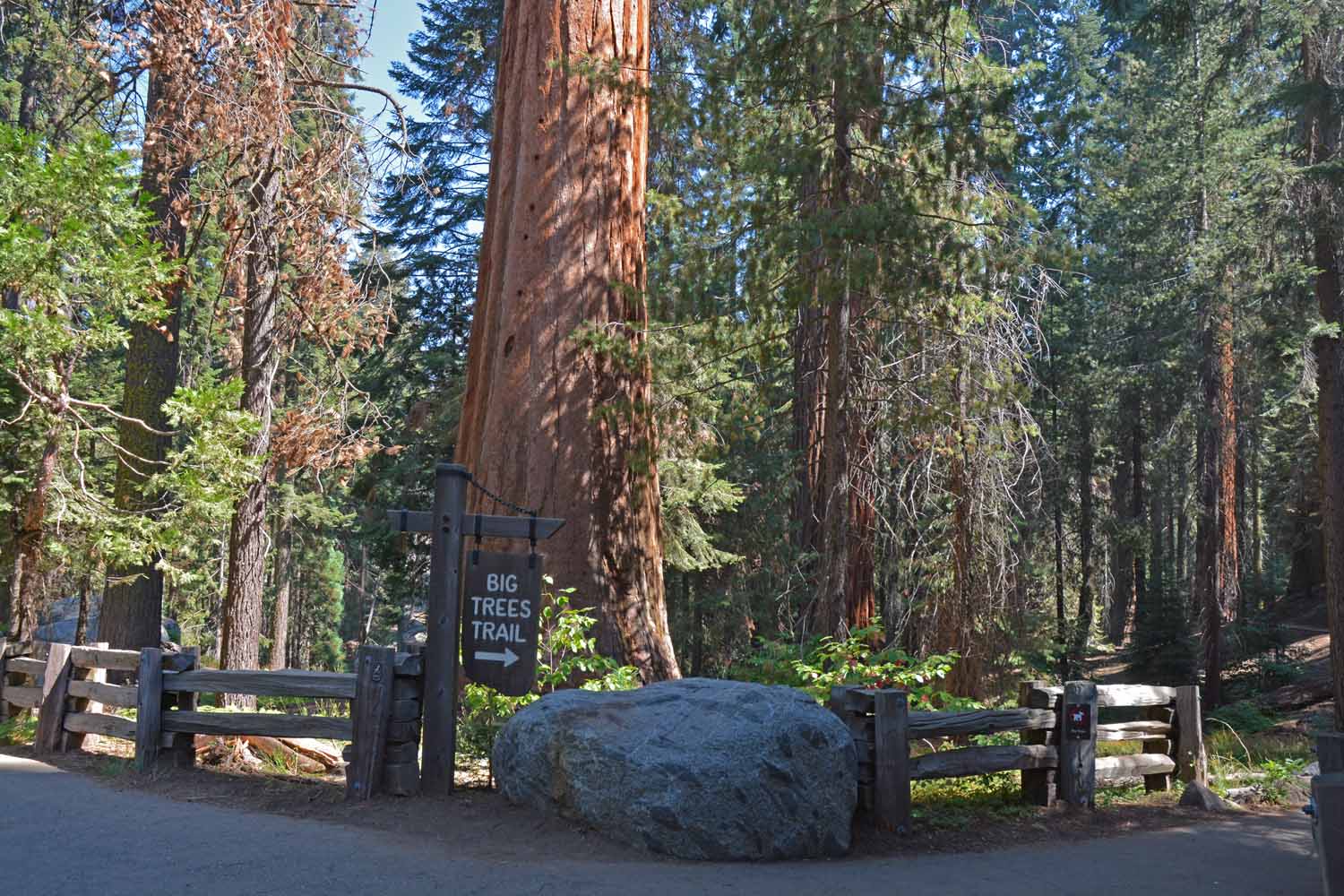
Fun trails through the big trees...

Fun trails through the big trees…

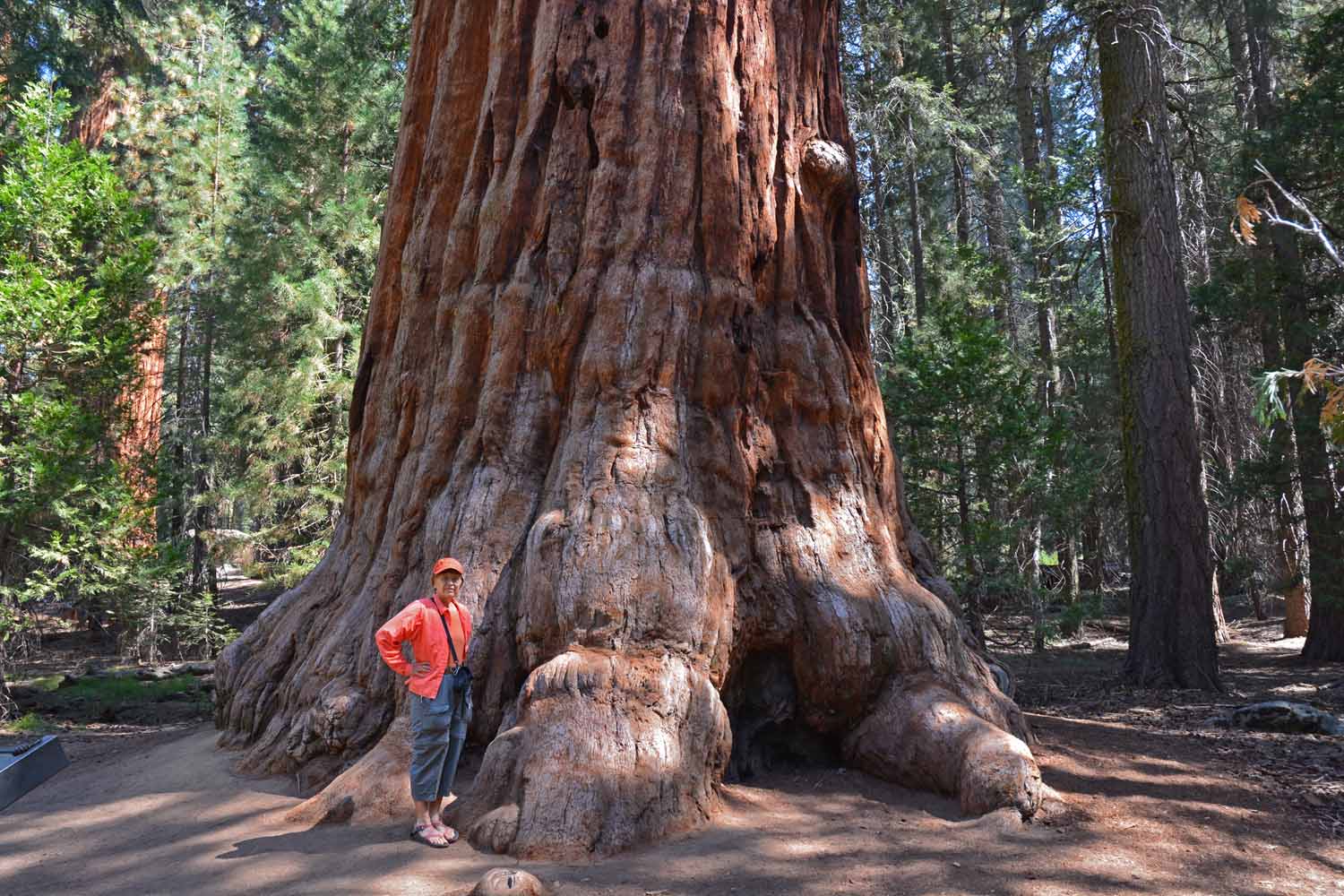
Here you can get an idea of size...

Here you can get an idea of size…

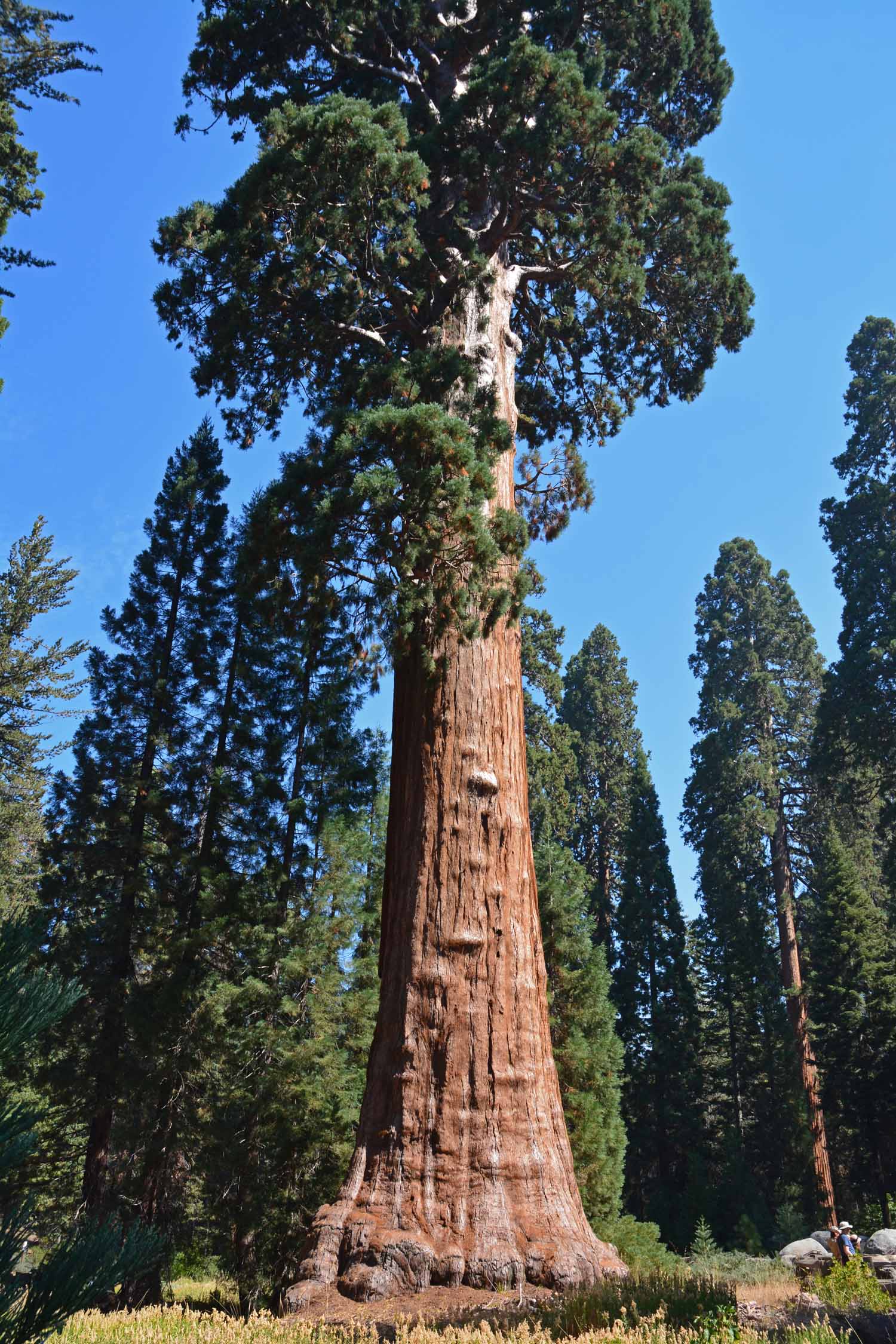
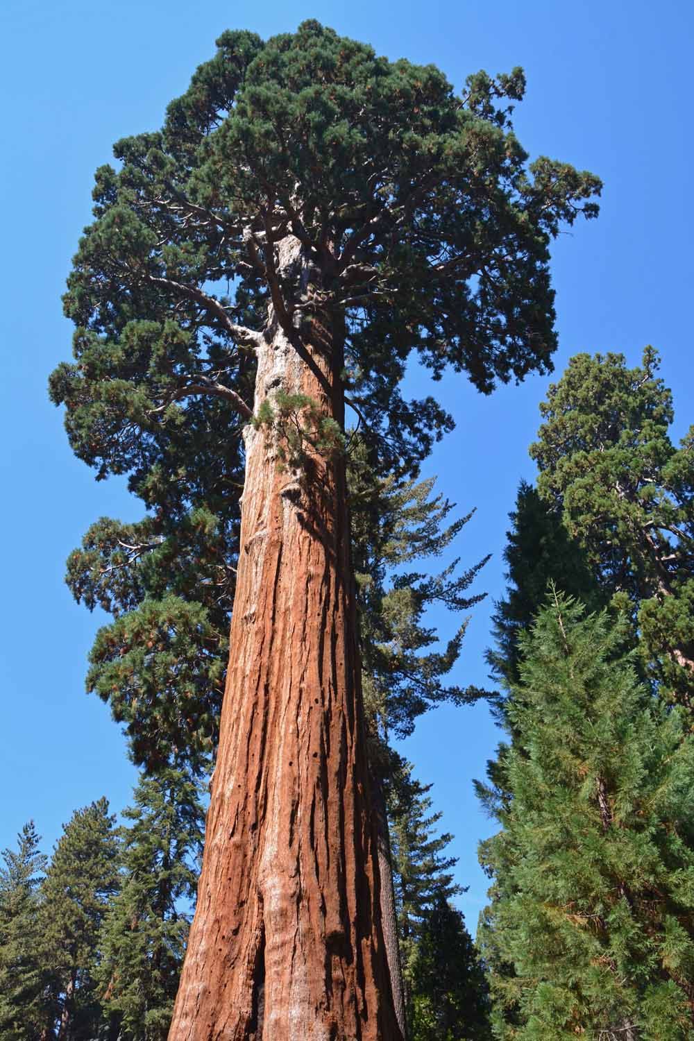
This is a big Sequoia from the bottom up!

This is a big Sequoia from the bottom up!

This it the same tree from the top down...

This it the same tree from the top down…

They name their trees here...mostly after Generals.

They name their trees here…mostly after Generals.

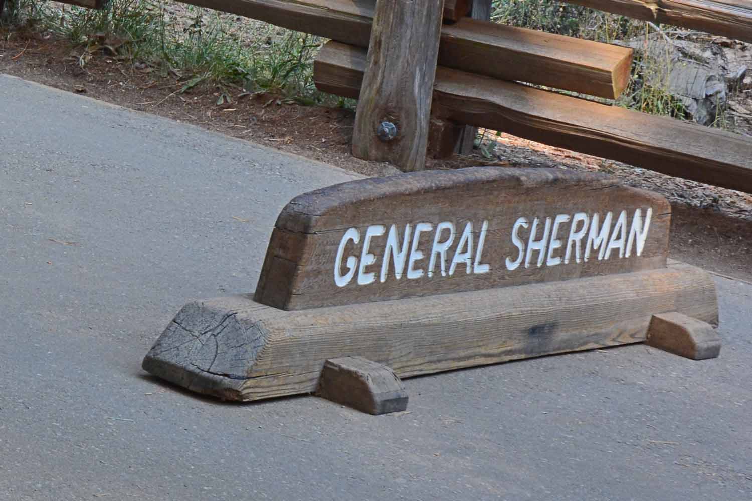
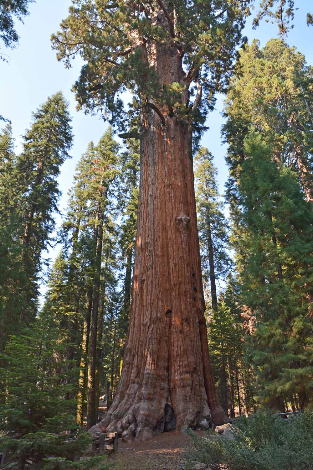
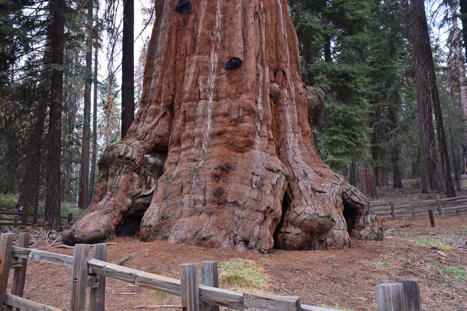
This tree is called General Sherman.  The stats for this tree were impressive.

This tree is called General Sherman. The stats for this tree were impressive.

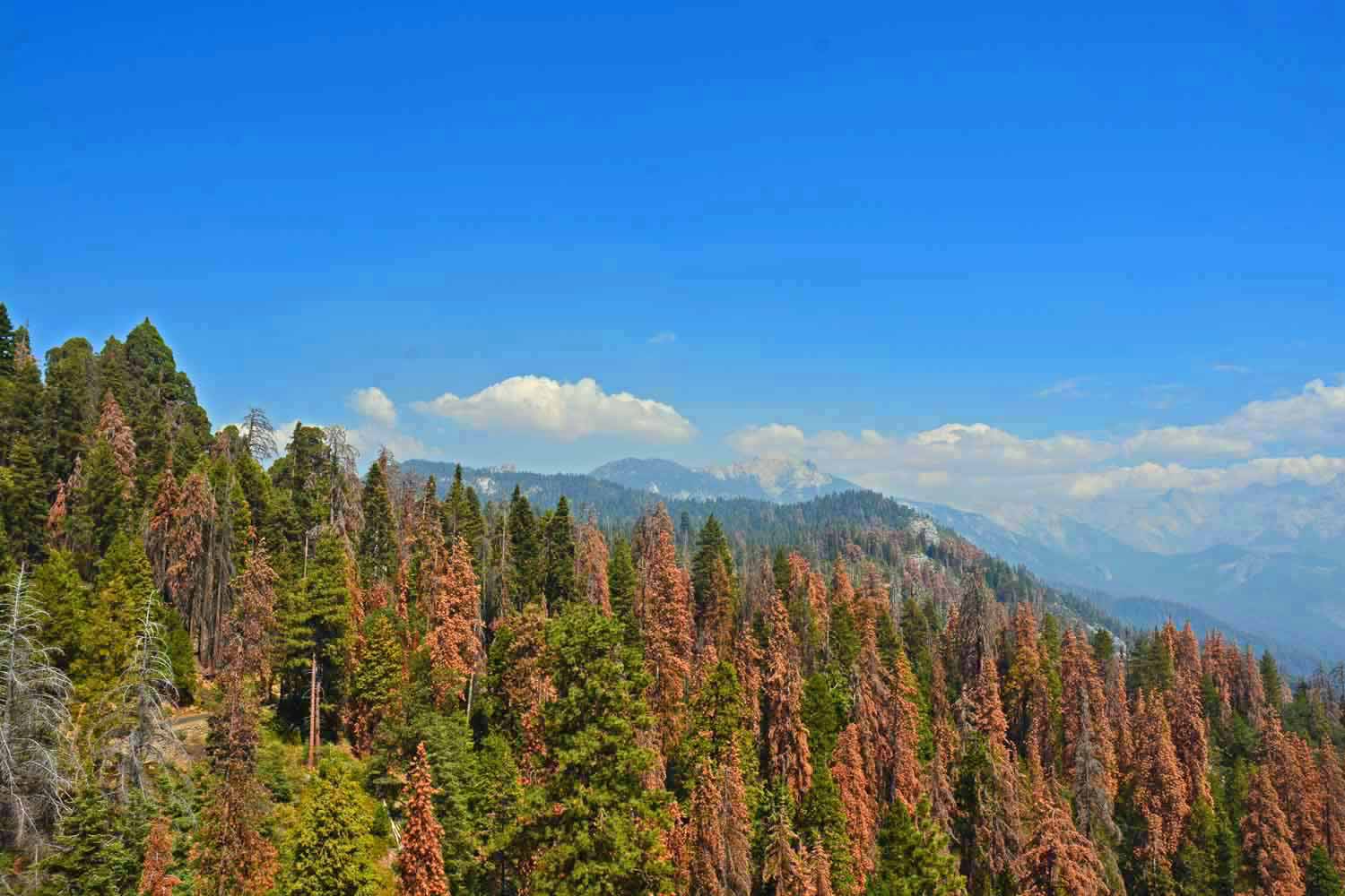
Note the dead and/or dying trees.  Otherwise nice view across the Sierra Nevada's.

Note the dead and/or dying trees. Otherwise nice view across the Sierra Nevada’s.

Another mountain view...with some snow at the peaks...

Another mountain view…with some snow at the peaks…

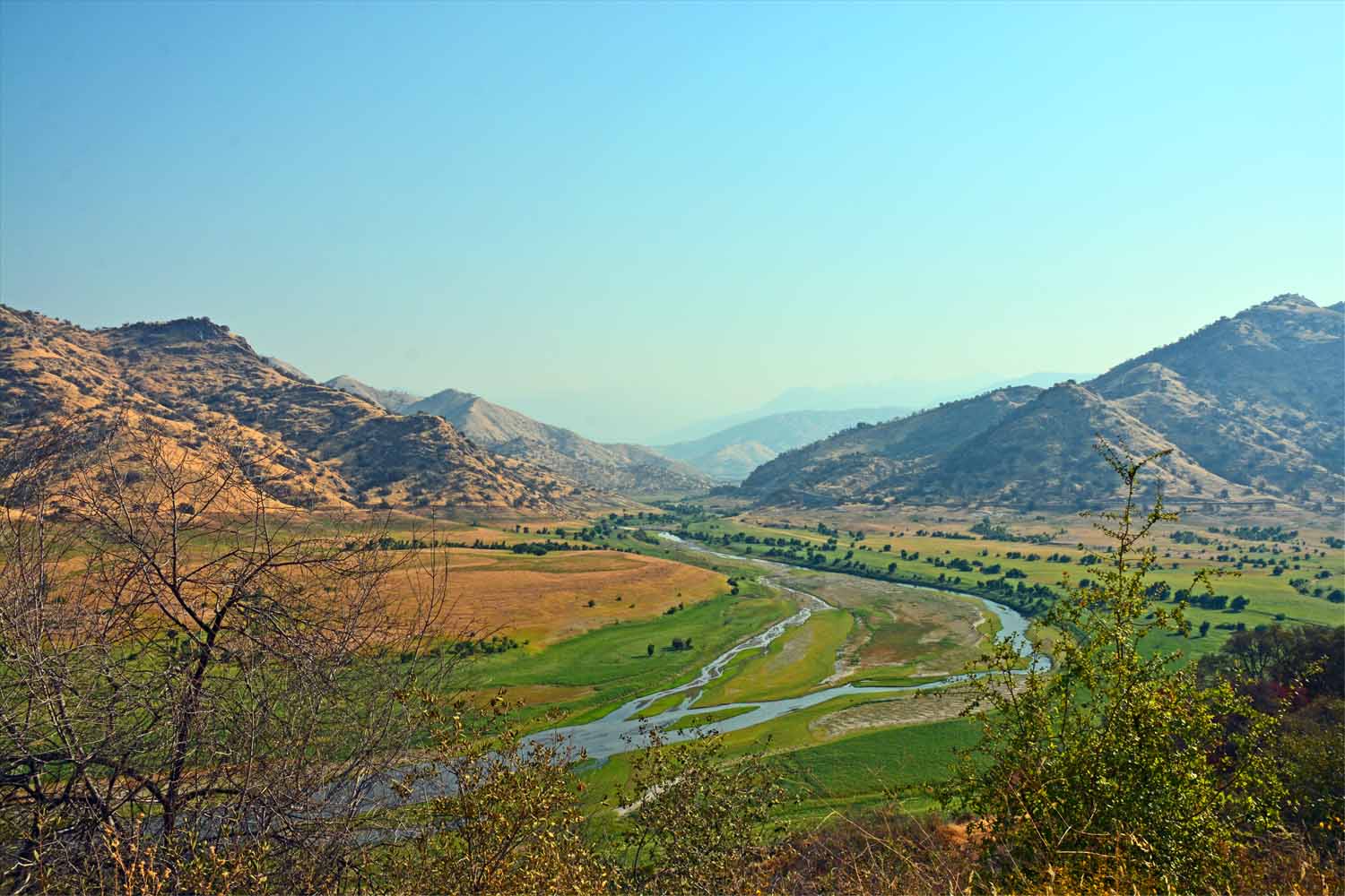
Kaweah River here center stage:  The area here is called Three Rivers where Kaweah, North and East Fork come together.  There is a large Corps of Engineer dam near here.

Kaweah River here center stage: The area here is called Three Rivers where Kaweah, North and East Fork come together. There is a large Corps of Engineer dam near here.
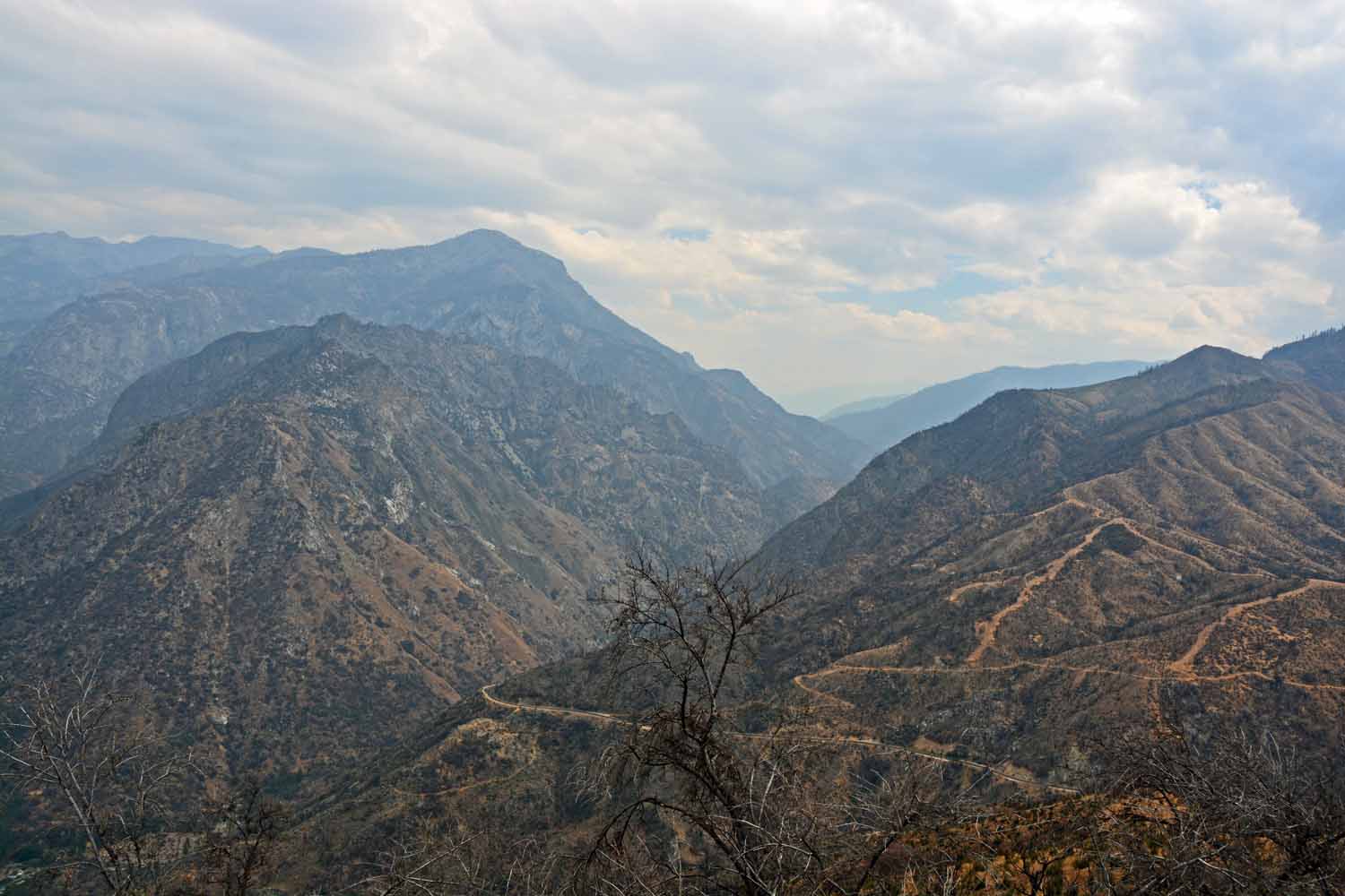
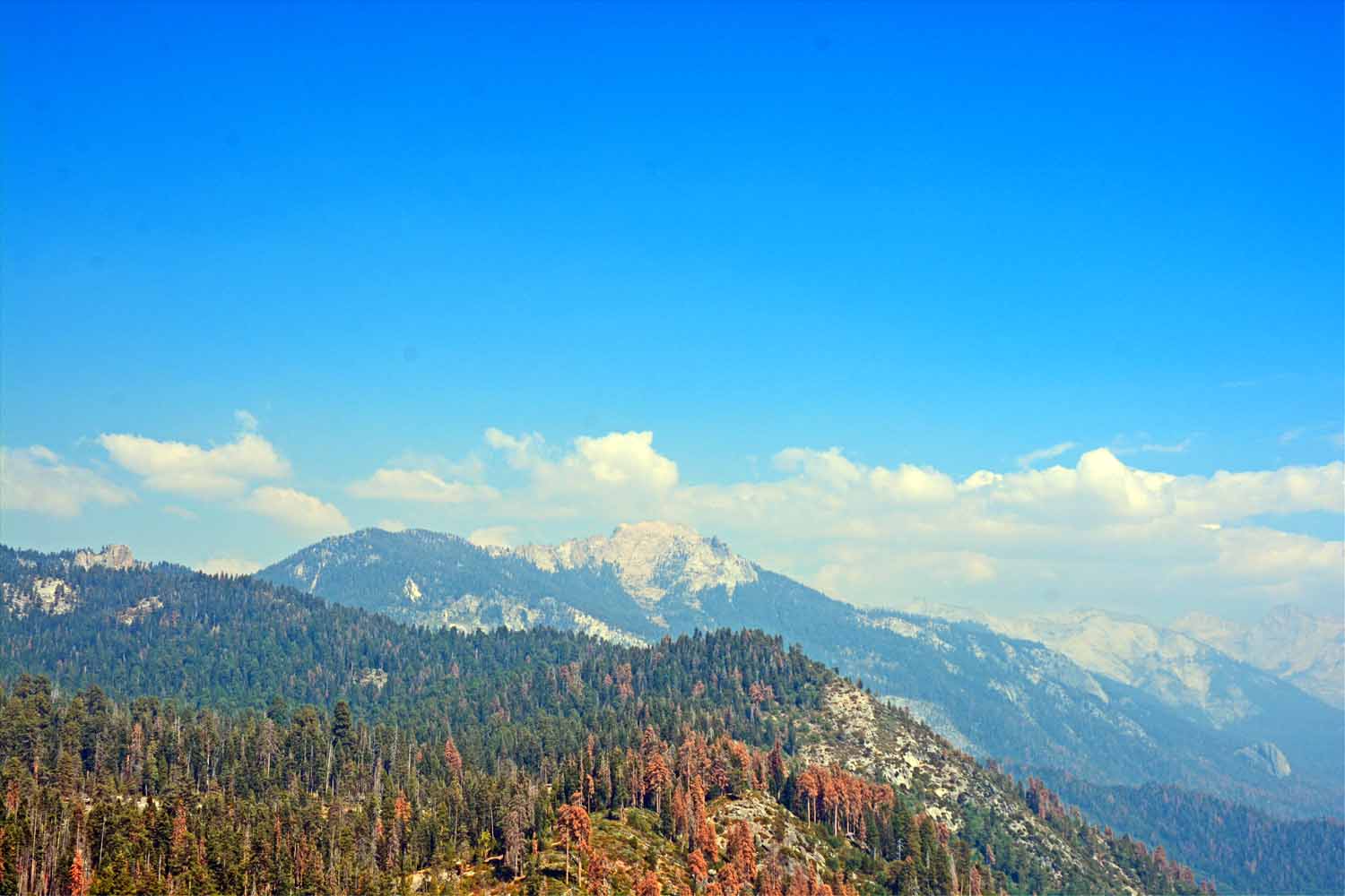
More mountain views of the Sierra Nevada's.

More mountain views of the Sierra Nevada’s.

I liked this perspective.  You can see the haze from the California fires which gives the distance views a certain soften edge.
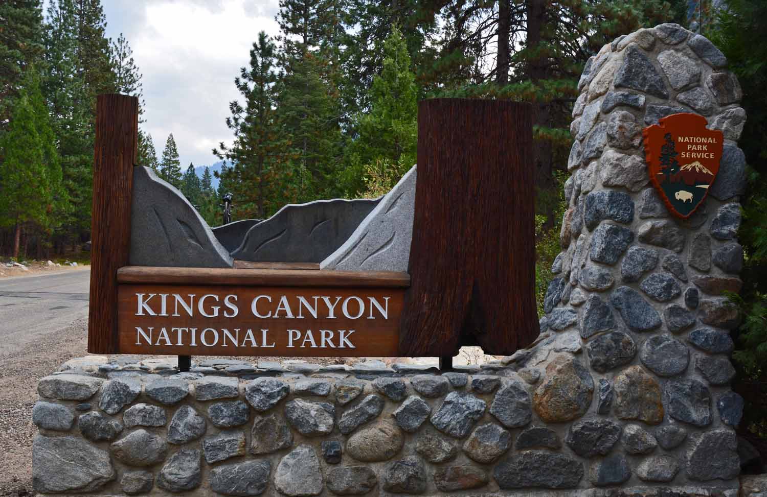
I liked this perspective. You can see the haze from the California fires which gives the distance views a certain soften edge.

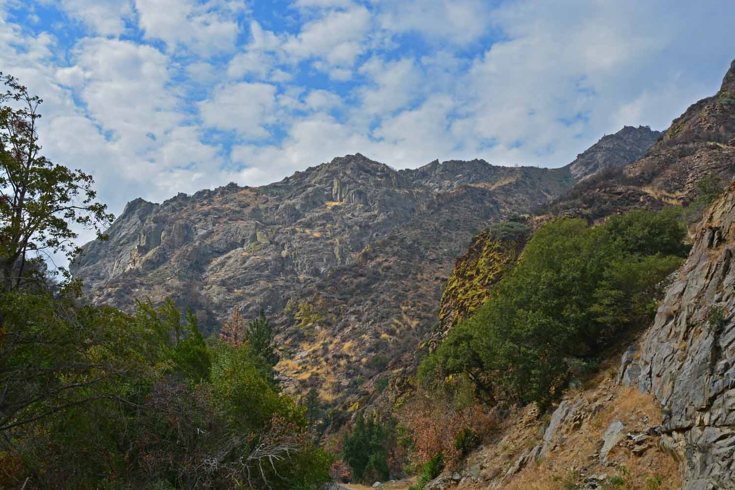
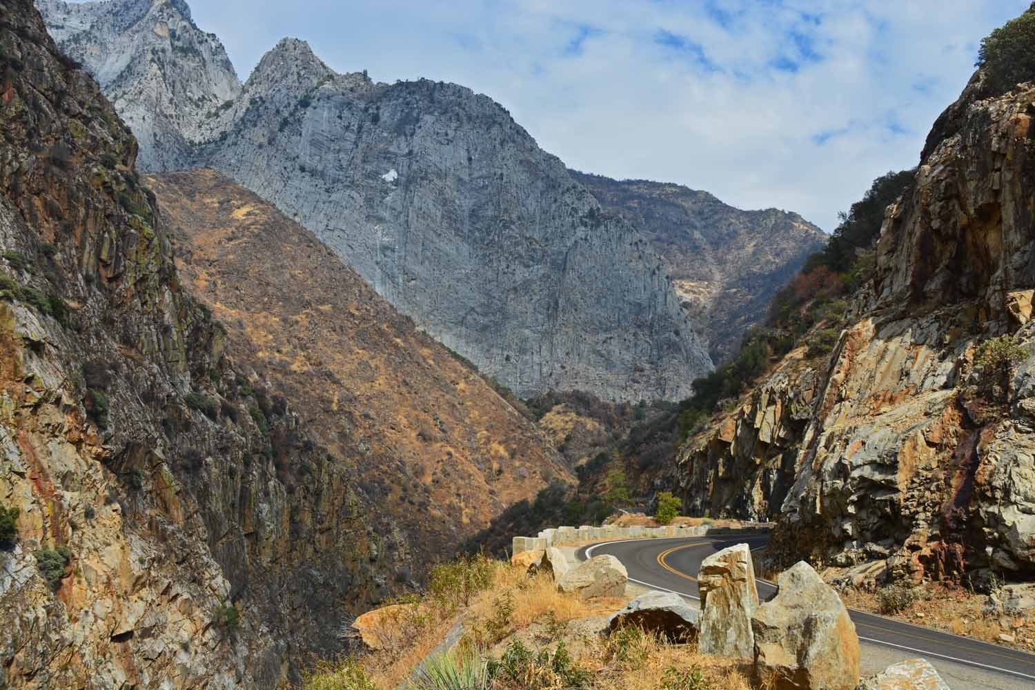
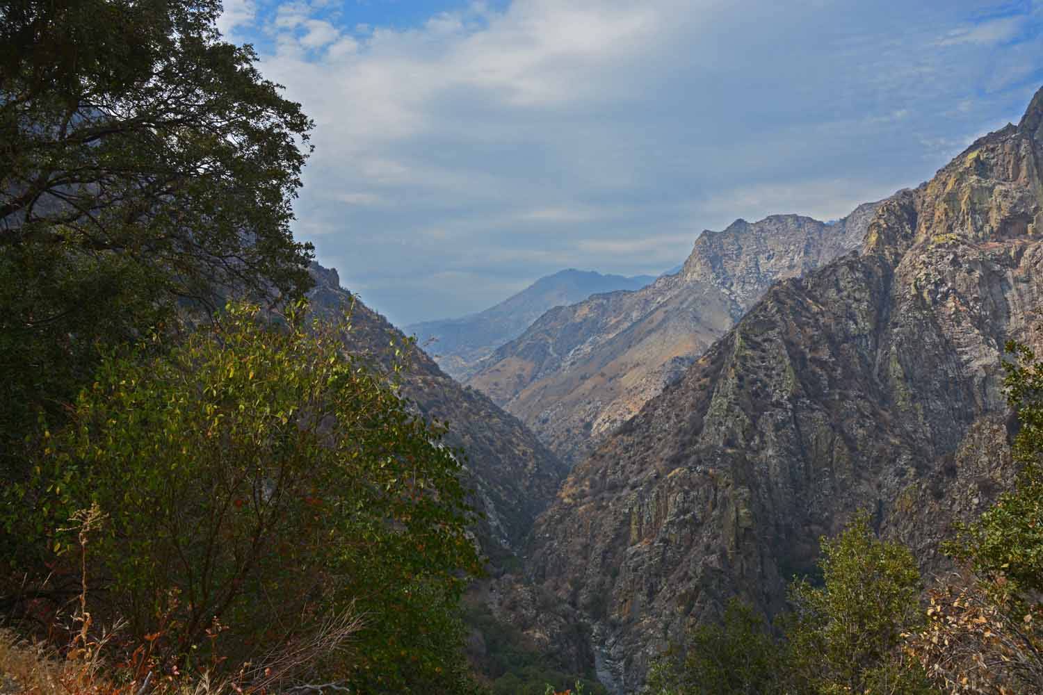
Before planning this trip we had not heard of the Kings Canyon National Park.  Sequoia and King are managed together.  They each have their own personalities.  Sequoia is more forest like with mountains and King with more mountains with forest.  It does take some driving to see both on some very tricky mountain roads.

Before planning this trip we had not heard of the Kings Canyon National Park. Sequoia and King are managed together. They each have their own personalities. Sequoia is more forest like with mountains and King with more mountains with forest. It does take some driving to see both on some very tricky mountain roads.
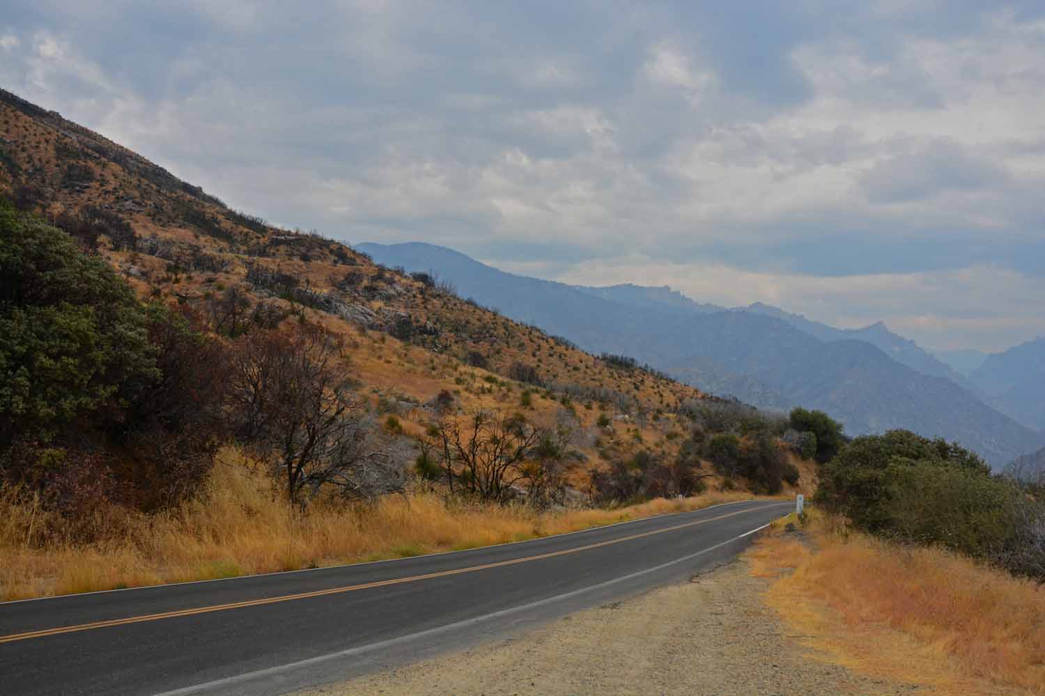
We took a short cut to King National Park which still takes several hours.  The drive through the country was an exceptional experience one that we really enjoyed.  However coming back to our RV site at night the trip seemed twice as long...

We took a short cut to King National Park which still takes several hours. The drive through the country was an exceptional experience one that we really enjoyed. However coming back to our RV site at night the trip seemed twice as long…
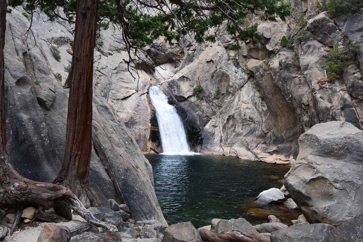
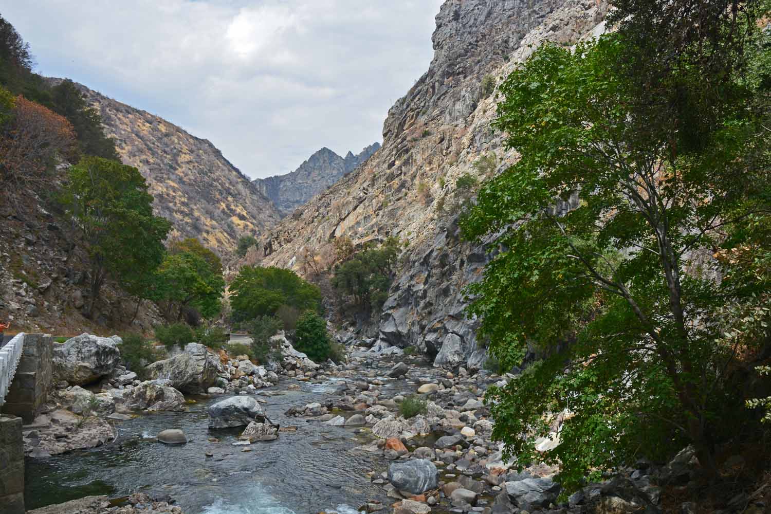
King's Canyon King River...nice stop to check out the scenery.

King’s Canyon King River…nice stop to check out the scenery.

Falls along the road...easy trek to get there!

Falls along the road…easy trek to get there!

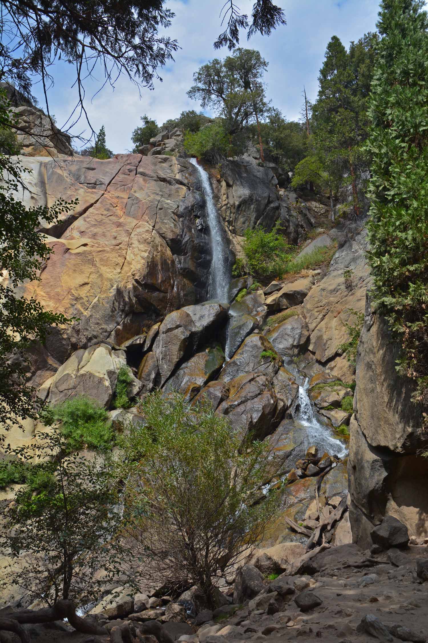
Grizzly Falls again a short trek from the parking lot.  In the spring this falls is much more dramatic.

Grizzly Falls again a short trek from the parking lot. In the spring this falls is much more dramatic.
Kings Canyon landscape

Kings Canyon landscape

We kept stopping for another photo.

We kept stopping for another photo.

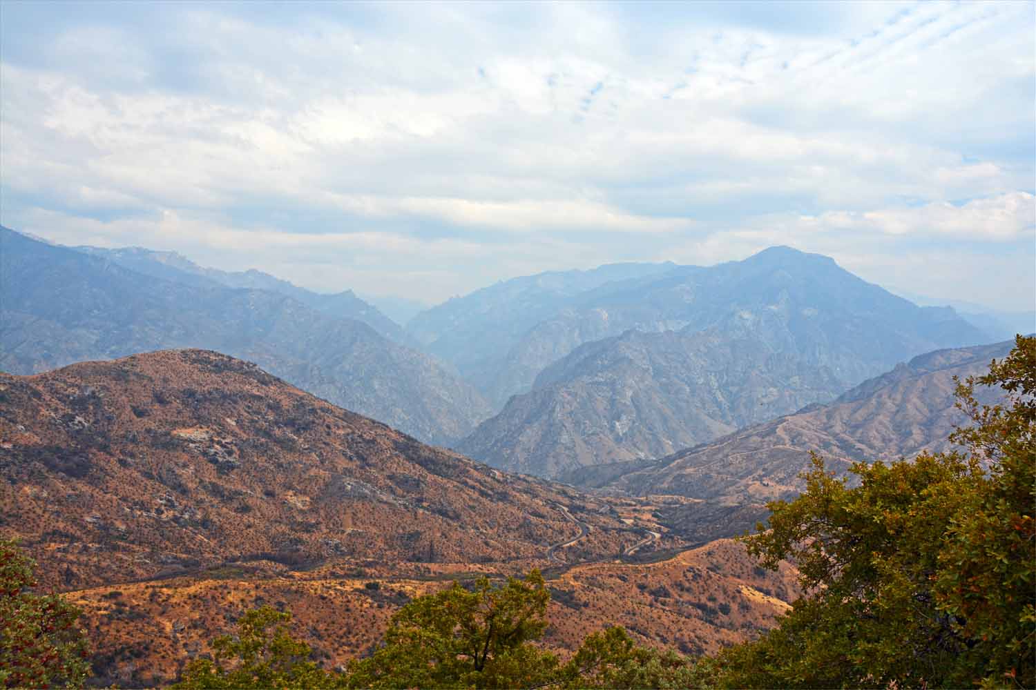
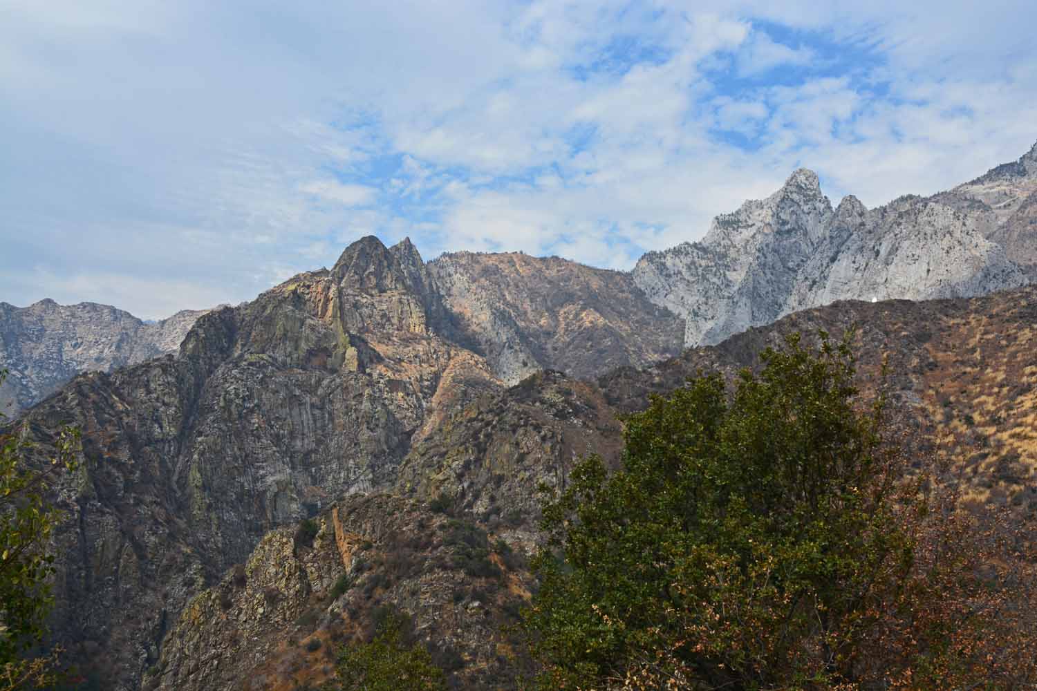
King's Canyon was a great experience.  Lots of mountain views.

King’s Canyon was a great experience. Lots of mountain views.

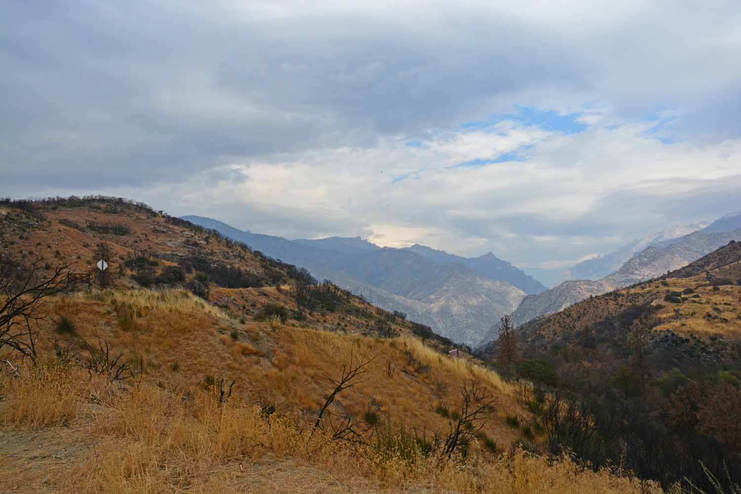
Long view down the canyon

Long view down the canyon

If you think we are higher than the last picture, you are right!

If you think we are higher than the last picture, you are right!

King has its own walk in the forest...

King has its own walk in the forest…

This tree is called General Grant.  Evidently they had a Northern theme when picking names.  No placard picture here as there were just too many people to work around.

This tree is called General Grant. Evidently they had a Northern theme when picking names. No placard picture here as there were just too many people to work around.
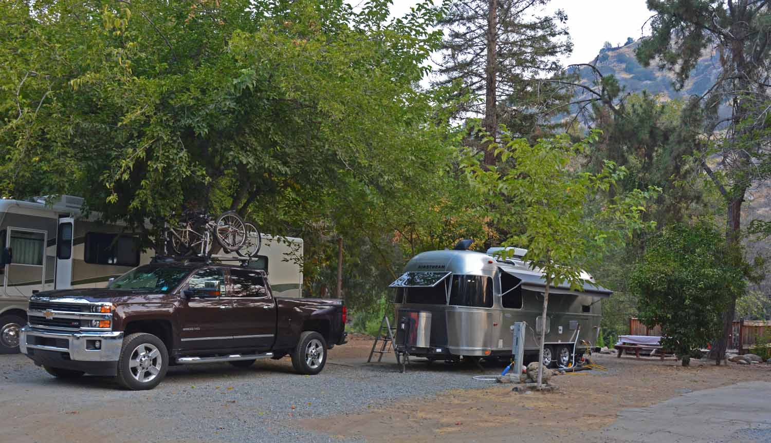
At Sequoia/King we based camped at the Sequoia RV Ranch park.  It was a great find and enjoyed our deck overlooking the river.

At Sequoia/King we based camped at the Sequoia RV Ranch park. It was a great find and enjoyed our deck overlooking the river.
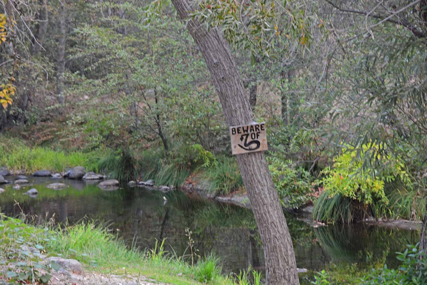
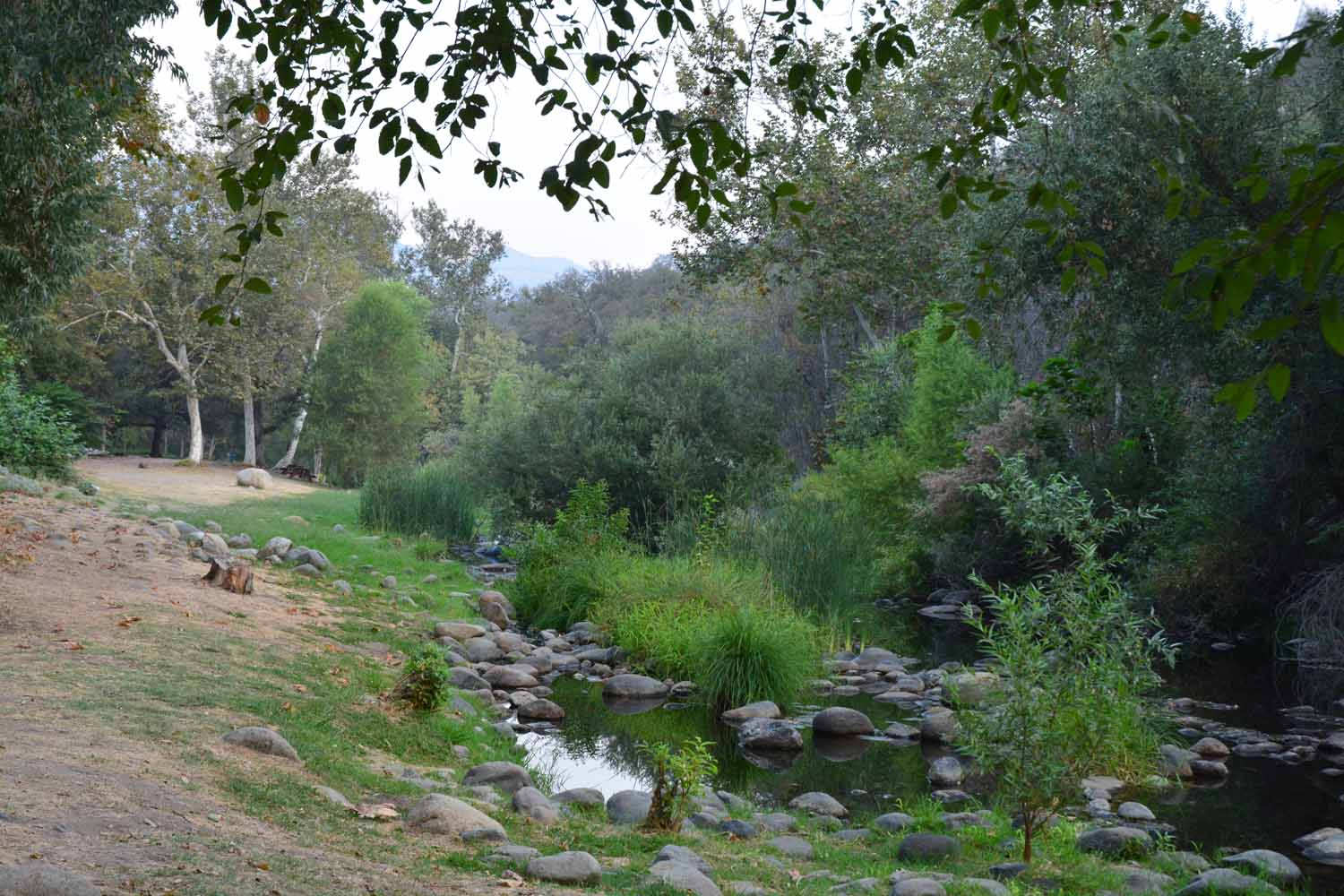
The river which was highly marketed was pretty tame this time of the year.

The river which was highly marketed was pretty tame this time of the year.

This park had the old fashioned swimming hole.  The water was spring fed so it cooled you down at the end of the day.  It was really deep I could not touch bottom.  However Jan did not get in once she learned that Rattle Snakes can swim...

This park had the old fashioned swimming hole. The water was spring fed so it cooled you down at the end of the day. It was really deep I could not touch bottom. However Jan did not get in once she learned that Rattle Snakes can swim…

Death Valley was unknown to us and we did not know how to plan. On our trip we met folks who loved it and others who did not. One of the biggest unknowns was the heat factor. We chose to stay in a private park in order to have AC. That was a good call by the way. However, while we there is was cooler than normal only in 80s and 90s only pushing above a 100 a few times. The one thing we were not prepared for was the size of the National Park. It is almost 5,300 square miles. To get from one location to the other took a lot more time than we had planned. Our take away at the end of the trip is it is a beautiful place, it is unique setting, the mountains are gorgeous but it can be harsh if you are not well prepared to cope with the elements.

Our RV park was in Lone Pine, California. The town sits on the edge of the Alabama Mountains. This was the setting for Hollywood to do TV shows and movies in years past. Yes, we paid our ten dollar fee to the museum.

The pictures tell the story of our travels for this stop…
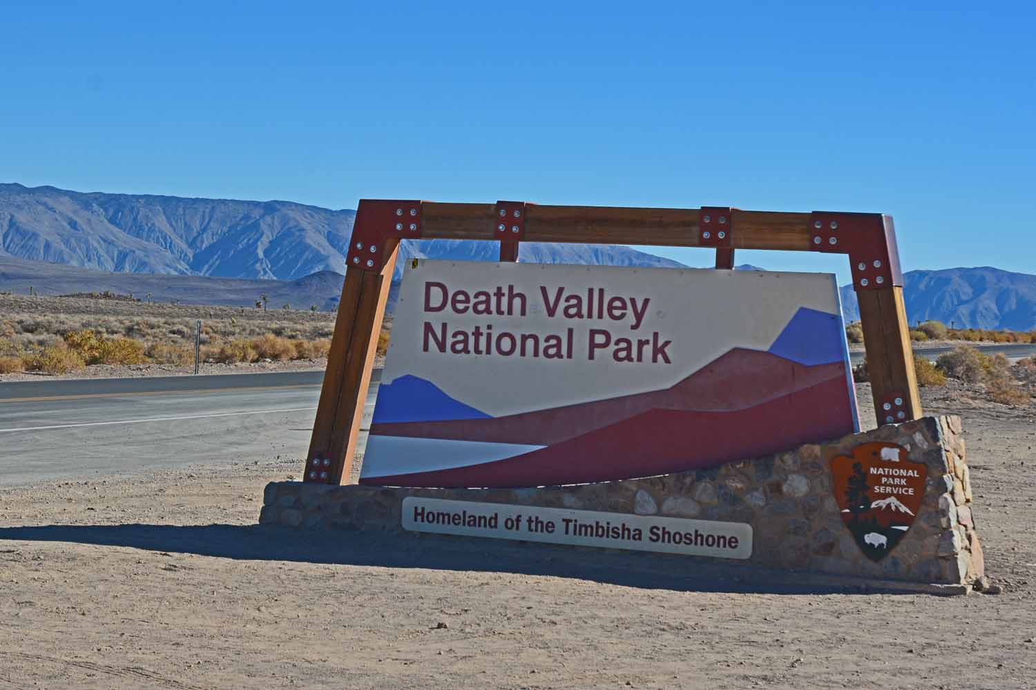
Death Valley was an unknown.  At the end of the day it was a great experience.  It is a huge area and we drove over 250 miles in one day just taking in all that it had to offer.

Death Valley was an unknown. At the end of the day it was a great experience. It is a huge area and we drove over 250 miles in one day just taking in all that it had to offer.
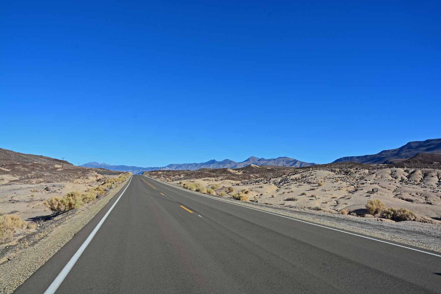
As we enter the desert it is clear we have left the mountains and any green behind us.

As we enter the desert it is clear we have left the mountains and any green behind us.

This is Death Valley

This is Death Valley

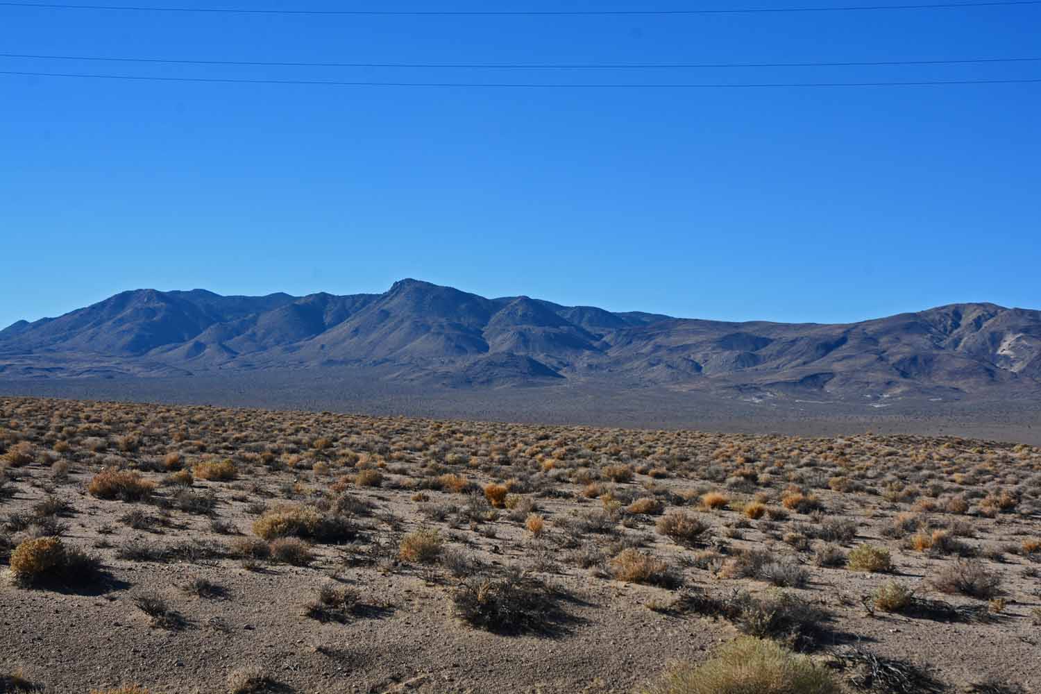
Although it does have mountains too!

Although it does have mountains too!

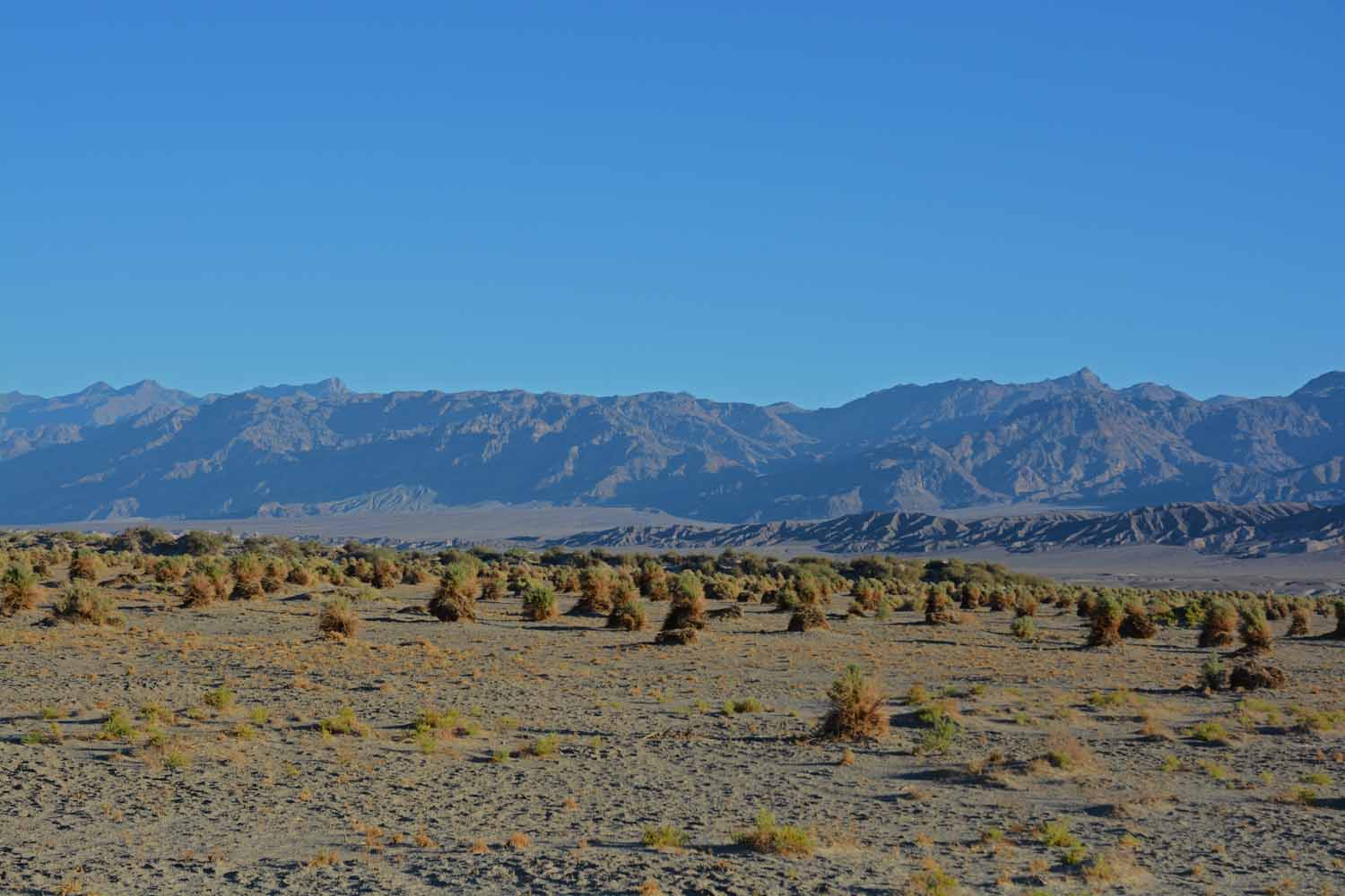
 This is call the Devil's Corn field.  A desert plant that looks like it was planted.


This is call the Devil’s Corn field. A desert plant that looks like it was planted.

The Devils Corn Field was certainly different from anything we have seen before...

The Devils Corn Field was certainly different from anything we have seen before…

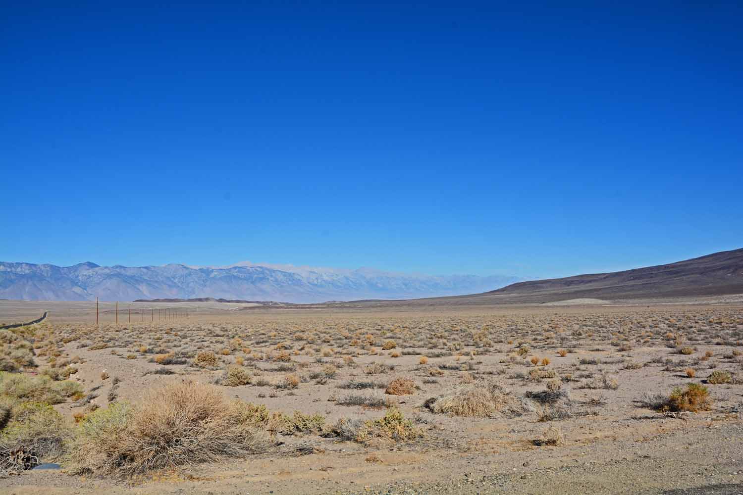
This is generic Death Valley.  Looks dry and desert like.

This is generic Death Valley. Looks dry and desert like.

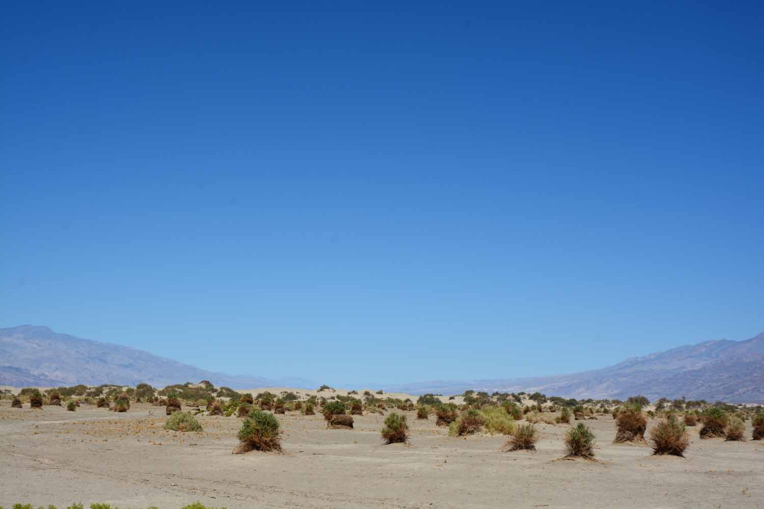
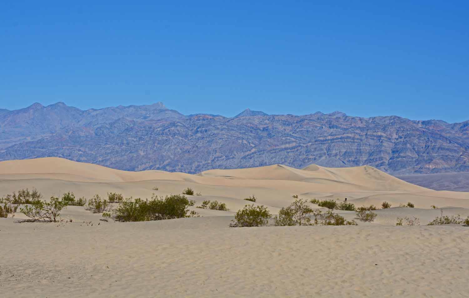
Not much real sand in the desert.  There are some dunes in this one localize area.

Not much real sand in the desert. There are some dunes in this one localize area.

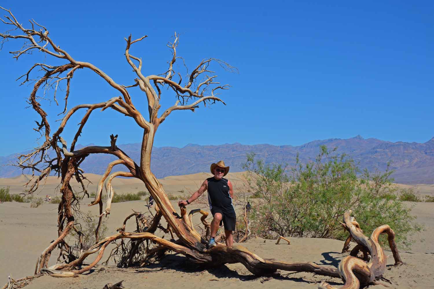
Larry bought a cowboy hat at the local general store.   Not sure it carries off the look in true western style.  However it does keep the sun out of your eyes.  The marketing tag said a hat with an attitude.

Larry bought a cowboy hat at the local general store. Not sure it carries off the look in true western style. However it does keep the sun out of your eyes. The marketing tag said a hat with an attitude.
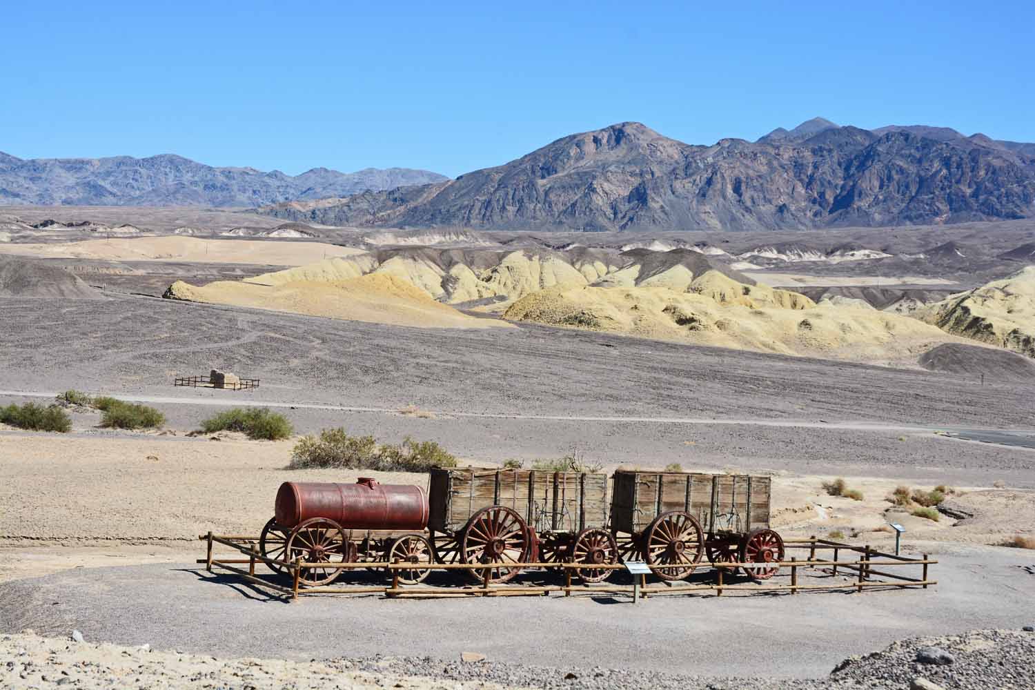
Death Valley is where 20 team Borax originally came from.  Actually it was 18 mules and two guide horses.  They needed the mule power to get their product up and out of the valley.  The 20 team handle was created by a marketing firm and is still used today.

Death Valley is where 20 team Borax originally came from. Actually it was 18 mules and two guide horses. They needed the mule power to get their product up and out of the valley. The 20 team handle was created by a marketing firm and is still used today.
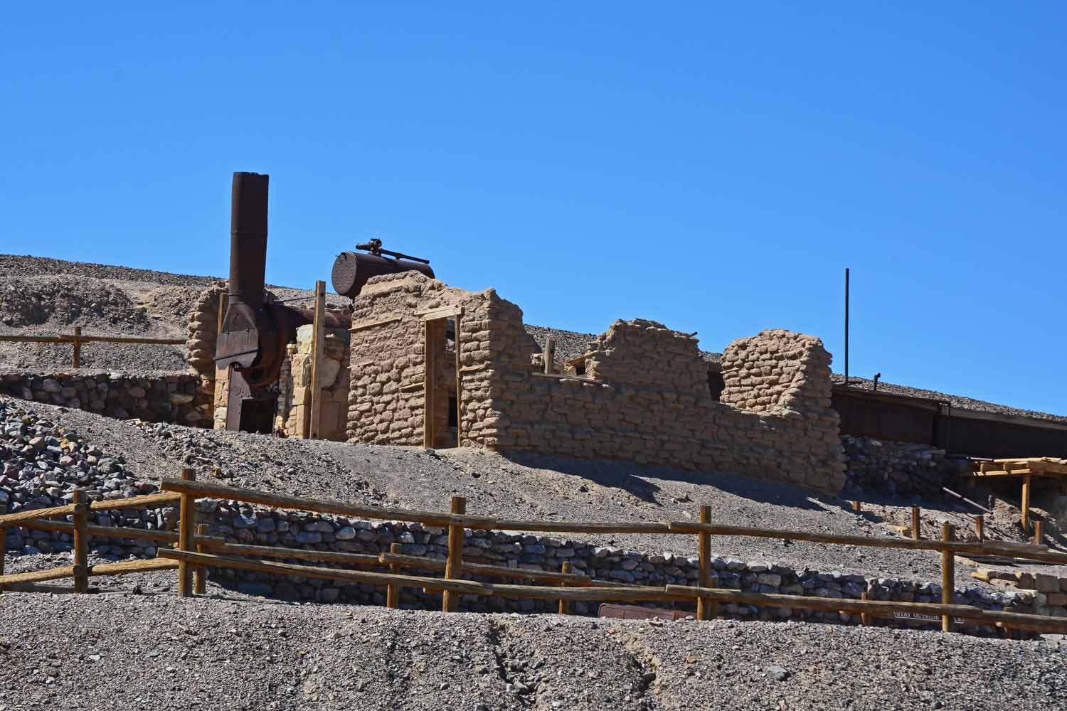
This is the production end of the Borax process.  It is no longer done in this part of the world.

This is the production end of the Borax process. It is no longer done in this part of the world.

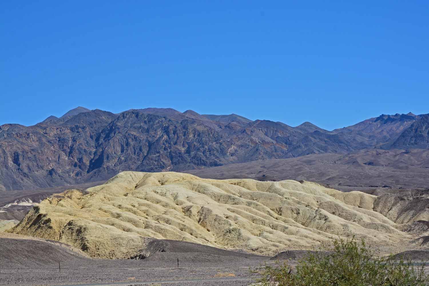
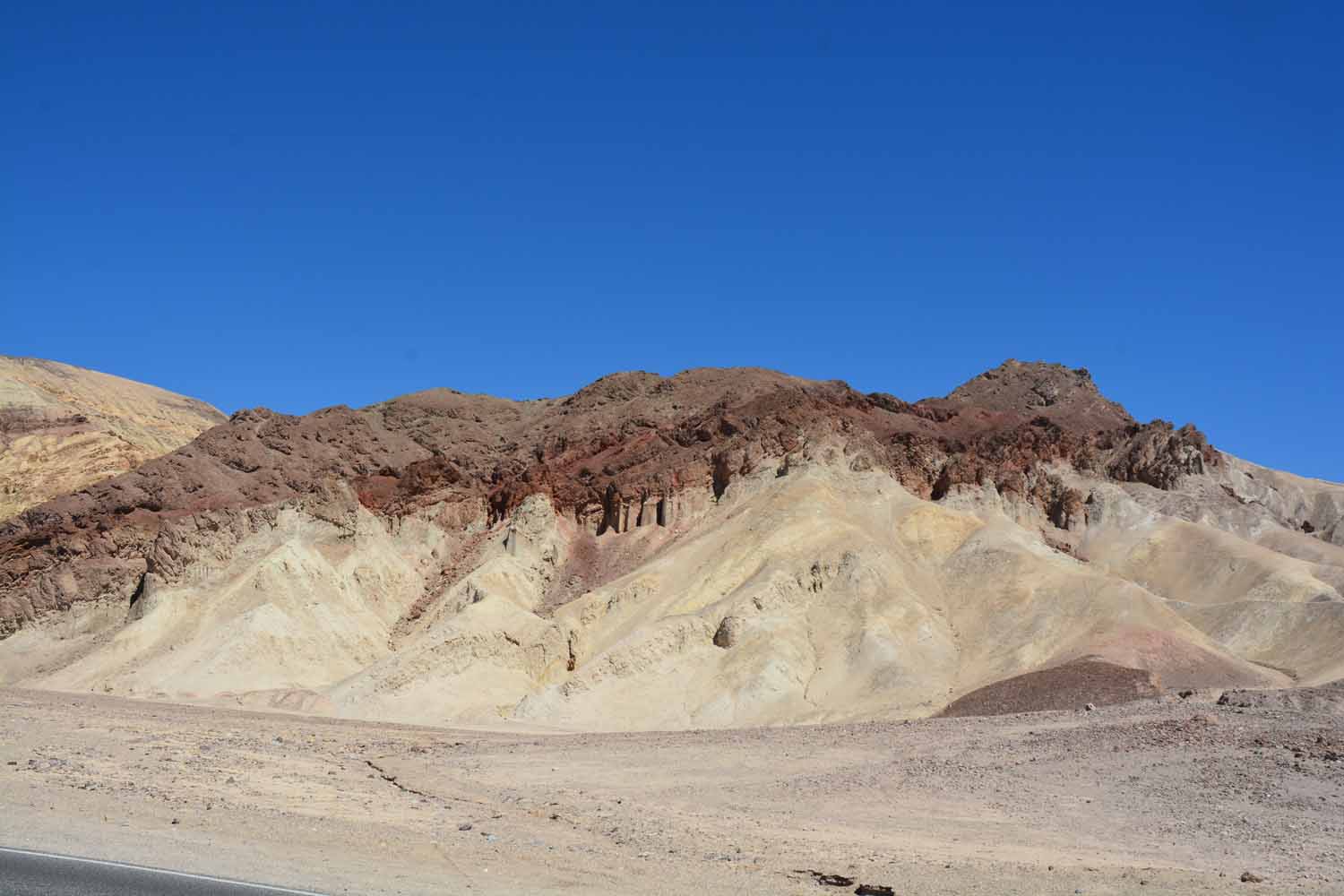
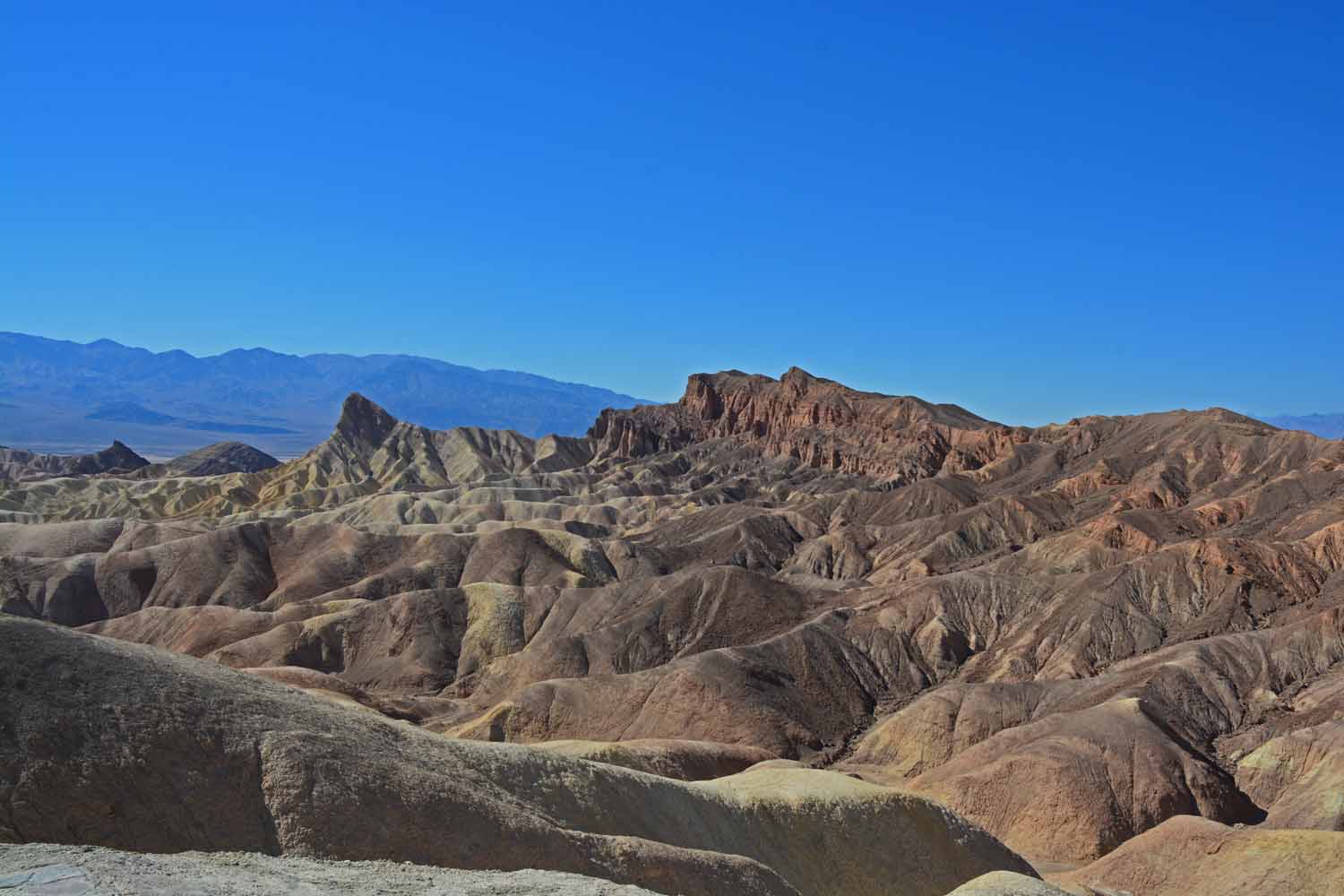
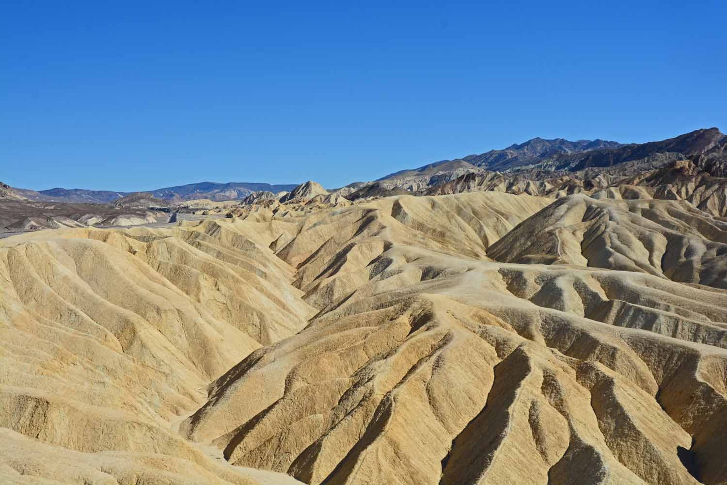
The terrain was ever changing.  This formation stood out.

The terrain was ever changing. This formation stood out.

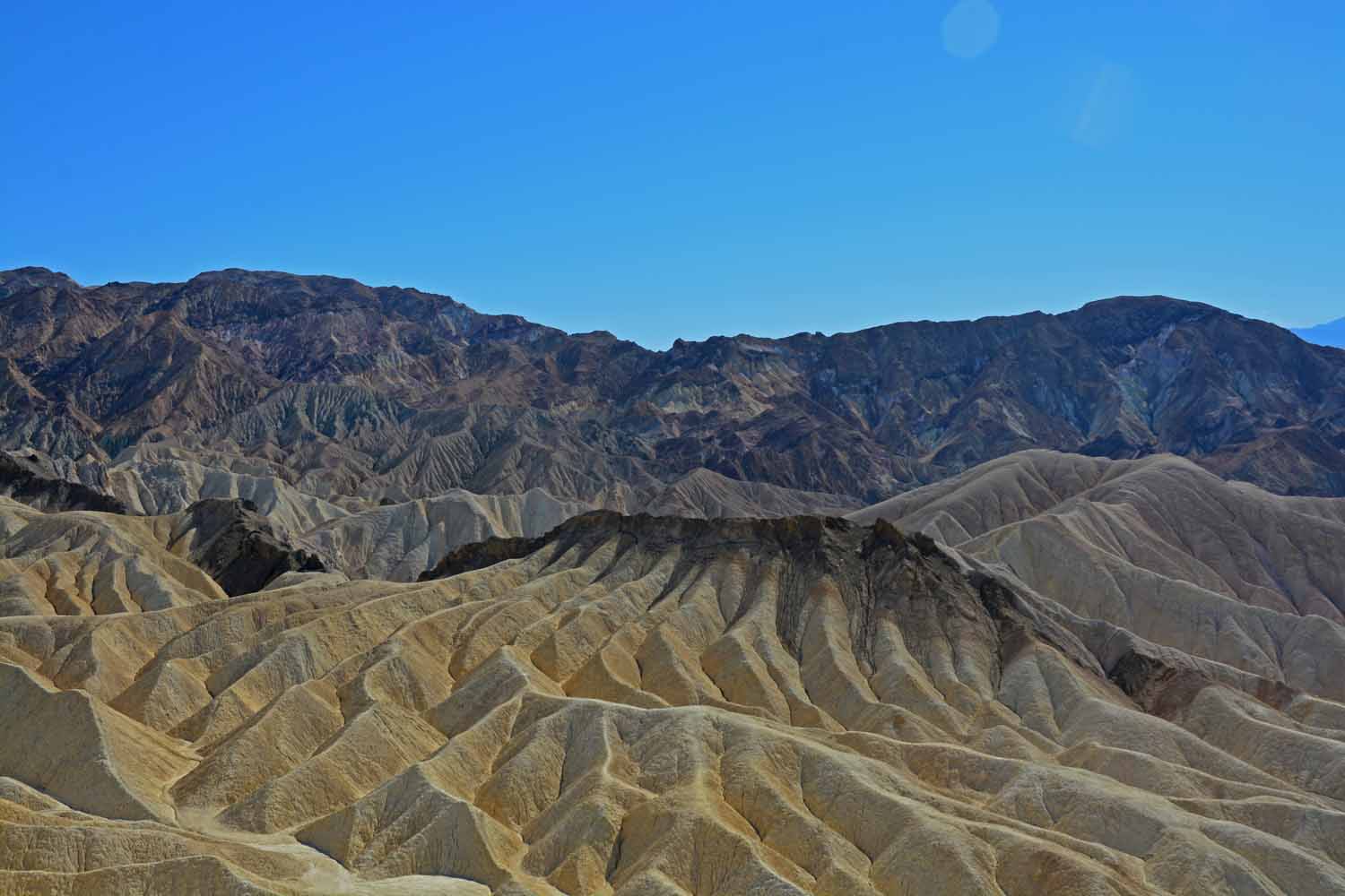
The coloration here caught my eye.

The coloration here caught my eye.

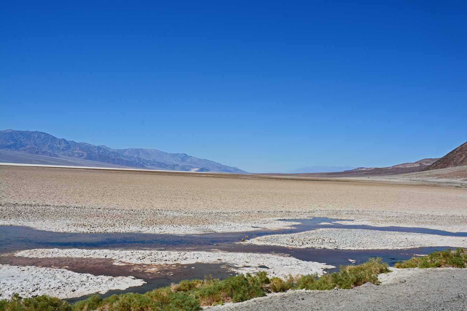
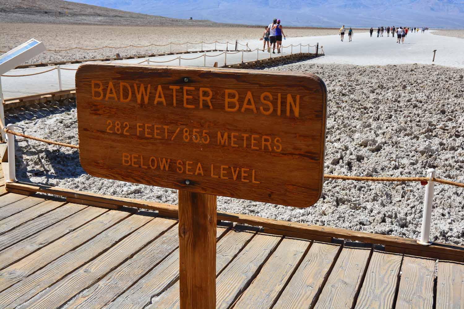
In the salt flats at Badwater Basin you are below sea level.  Actually the sediment here from the mountain run off over time is over 12,000 ft deep.  This depression is due to volcanic activity.  Per the curation the area is getting ready for another eruption.  We had lots of company on our walk out to the flats.

In the salt flats at Badwater Basin you are below sea level. Actually the sediment here from the mountain run off over time is over 12,000 ft deep. This depression is due to volcanic activity. Per the curation the area is getting ready for another eruption. We had lots of company on our walk out to the flats.
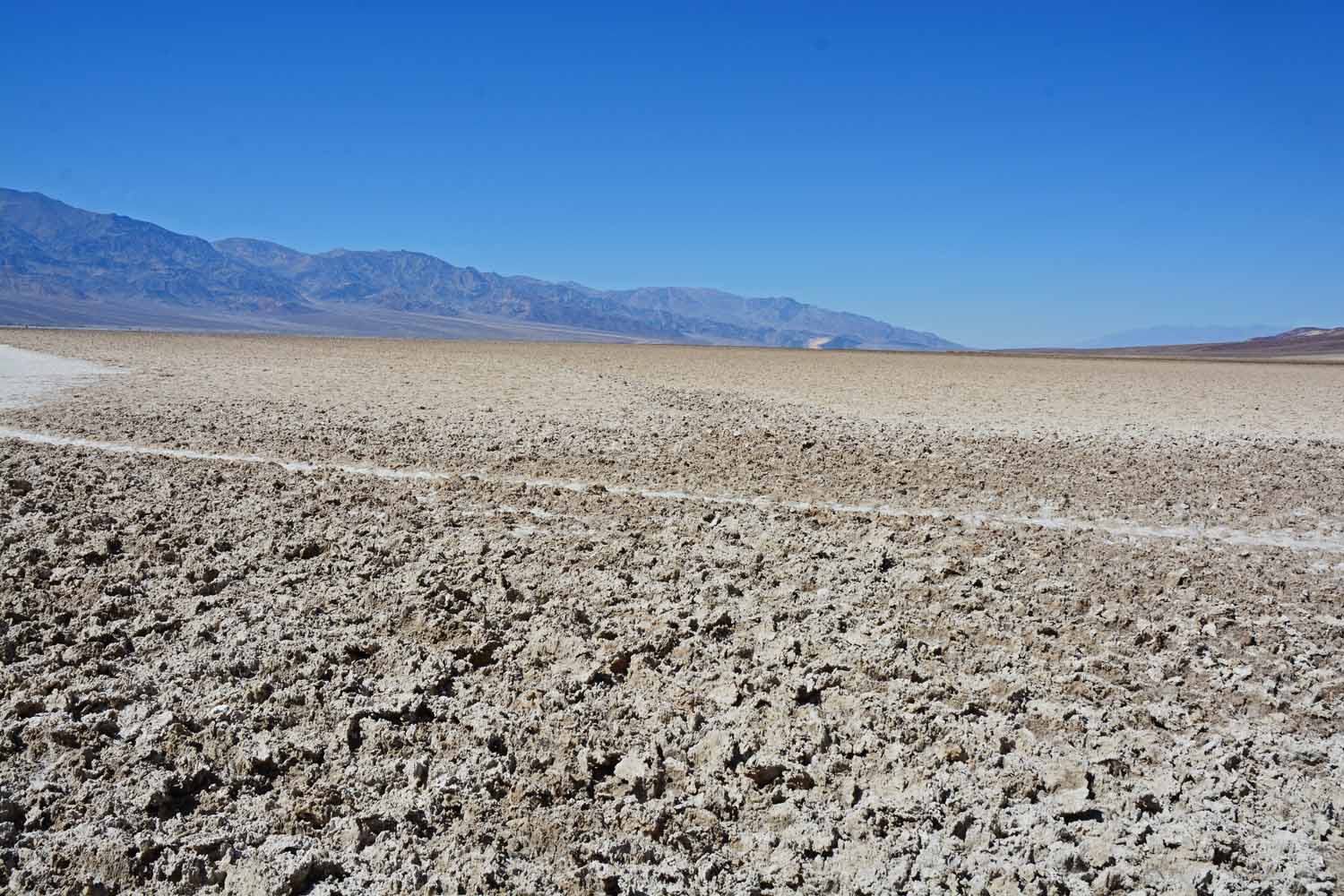
Taken coming into the salt beds...

Taken coming into the salt beds…

When we were there it was dry.  No water to be found here.  Interesting to look at but not sure you would want to live here.

When we were there it was dry. No water to be found here. Interesting to look at but not sure you would want to live here.
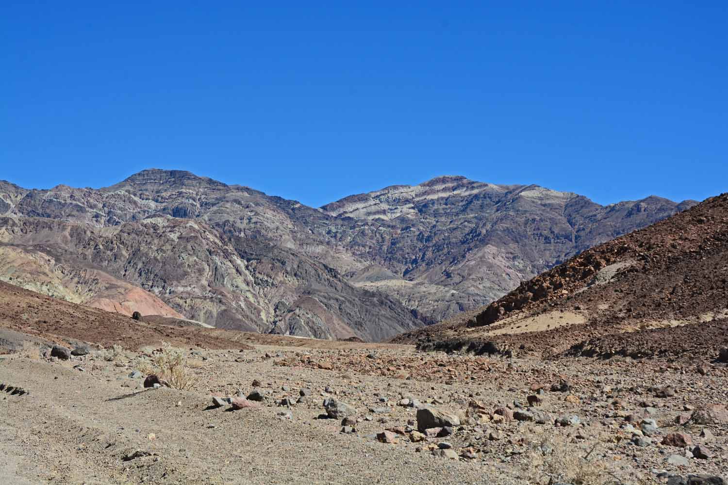
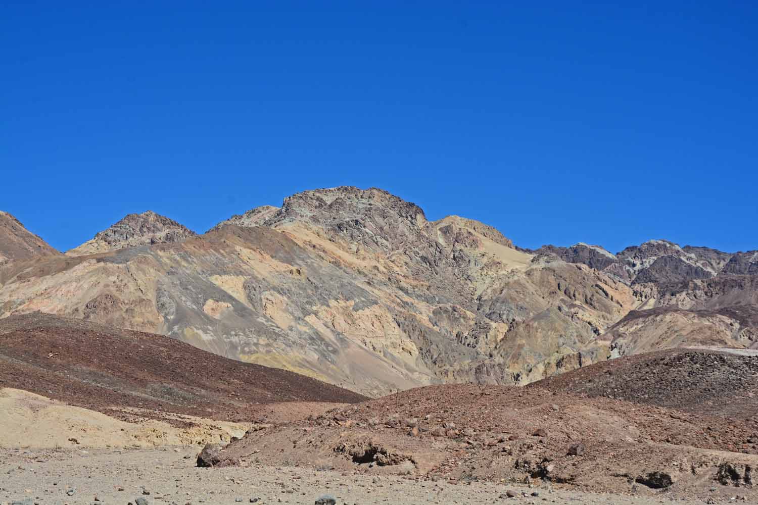
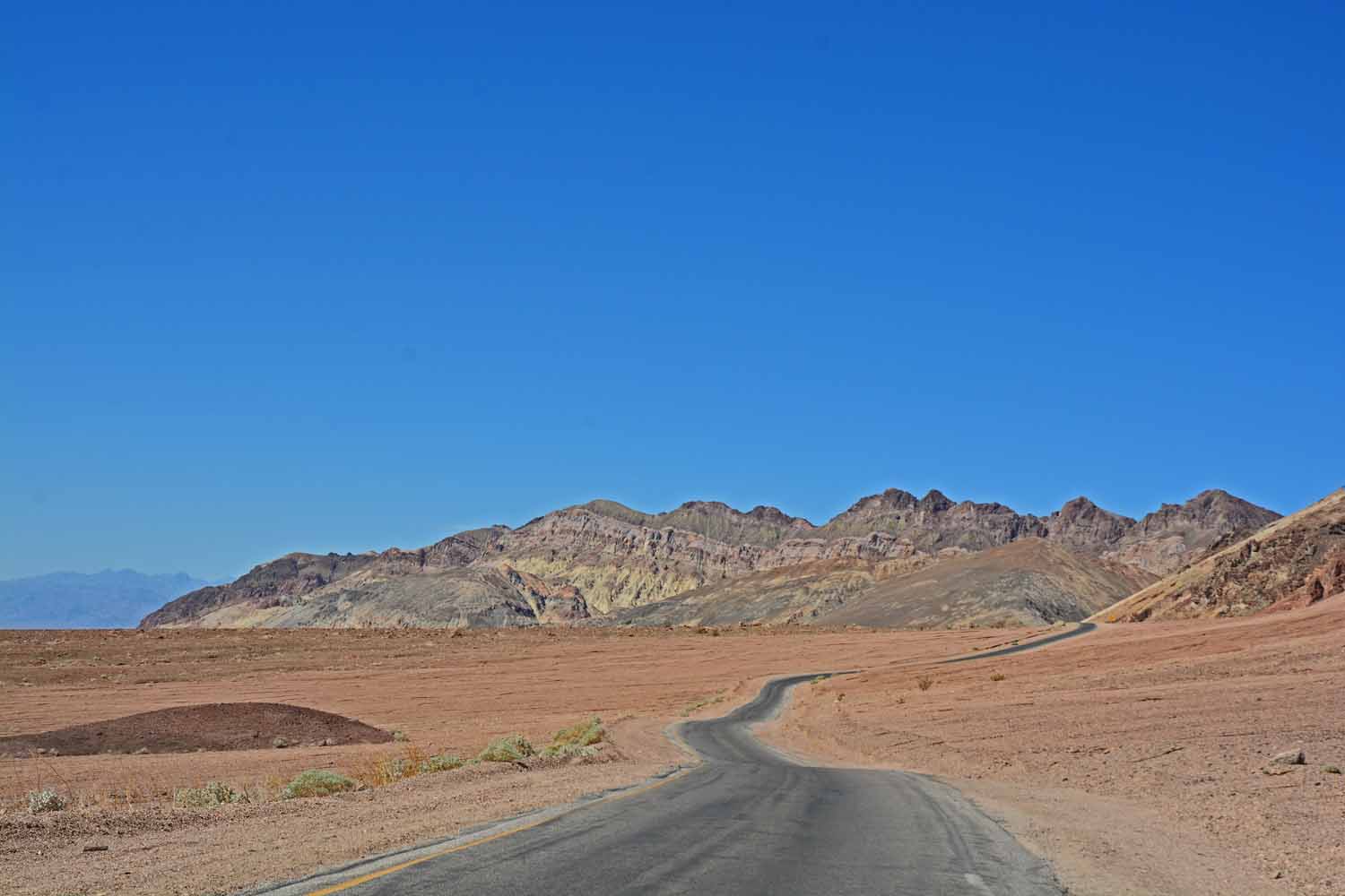
There is a drive through the mountains called the Artist drive.  The road is narrow, has lots of curves and for the driver it is eyes on the road.  However the coloration in the rock is over the top and worth the effort...

There is a drive through the mountains called the Artist drive. The road is narrow, has lots of curves and for the driver it is eyes on the road. However the coloration in the rock is over the top and worth the effort…
Artist drive shot...looks good from here.

Artist drive shot…looks good from here.

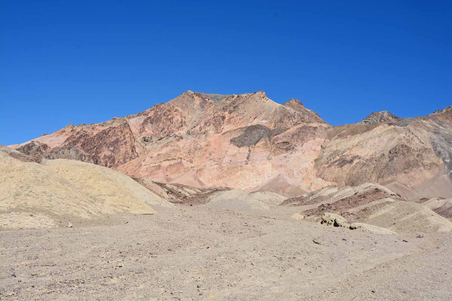
Jan liked the colors in this shot.

Jan liked the colors in this shot.

The terrain gets more interesting.  Looks a little like the Bad Lands in South Dakota.

The terrain gets more interesting. Looks a little like the Bad Lands in South Dakota.

On the Artist drive the views continue to get better.

On the Artist drive the views continue to get better.

The different colors here complement each other, don't you think?

The different colors here complement each other, don’t you think?

Death Valley is a long winding trail.  As I said before we drove over 250  miles checking it out.

Death Valley is a long winding trail. As I said before we drove over 250 miles checking it out.

We found this notice scary.  At Kings Canyon and Death Valley  there are a lot of Tarantulas.  You see them on the road all the time.

We found this notice scary. At Kings Canyon and Death Valley there are a lot of Tarantulas. You see them on the road all the time.
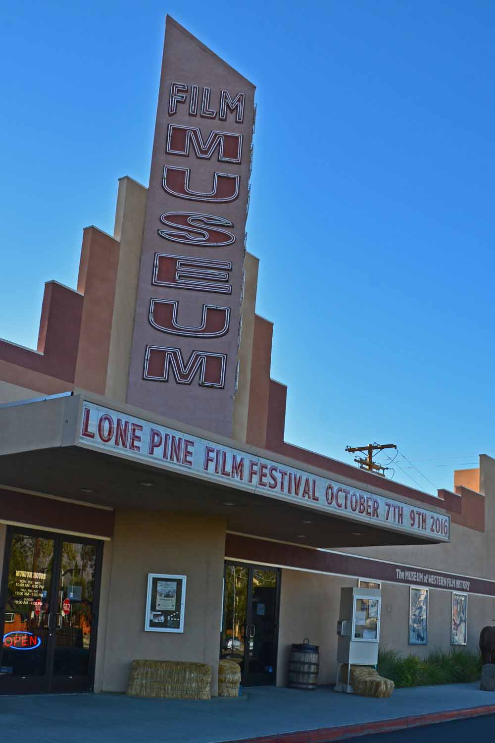
Lone Pines California in the Alabama Hills is close to Hollywood and where many of the western TV shows and movies in the 40's, 50's, 60's and 70's were shot.  The Museum of Western Film was originally created by a Roy Rogers relative.  It is now run by the city of Lone Pine.  There are tours that will take you to where the action took place.  A throw back in time for sure...

Lone Pines California in the Alabama Hills is close to Hollywood and where many of the western TV shows and movies in the 40’s, 50’s, 60’s and 70’s were shot. The Museum of Western Film was originally created by a Roy Rogers relative. It is now run by the city of Lone Pine. There are tours that will take you to where the action took place. A throw back in time for sure…
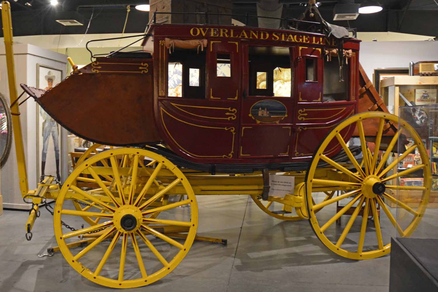
Lots of old cars from the movies and the stage coach that was used in many films are on display.

Lots of old cars from the movies and the stage coach that was used in many films are on display.

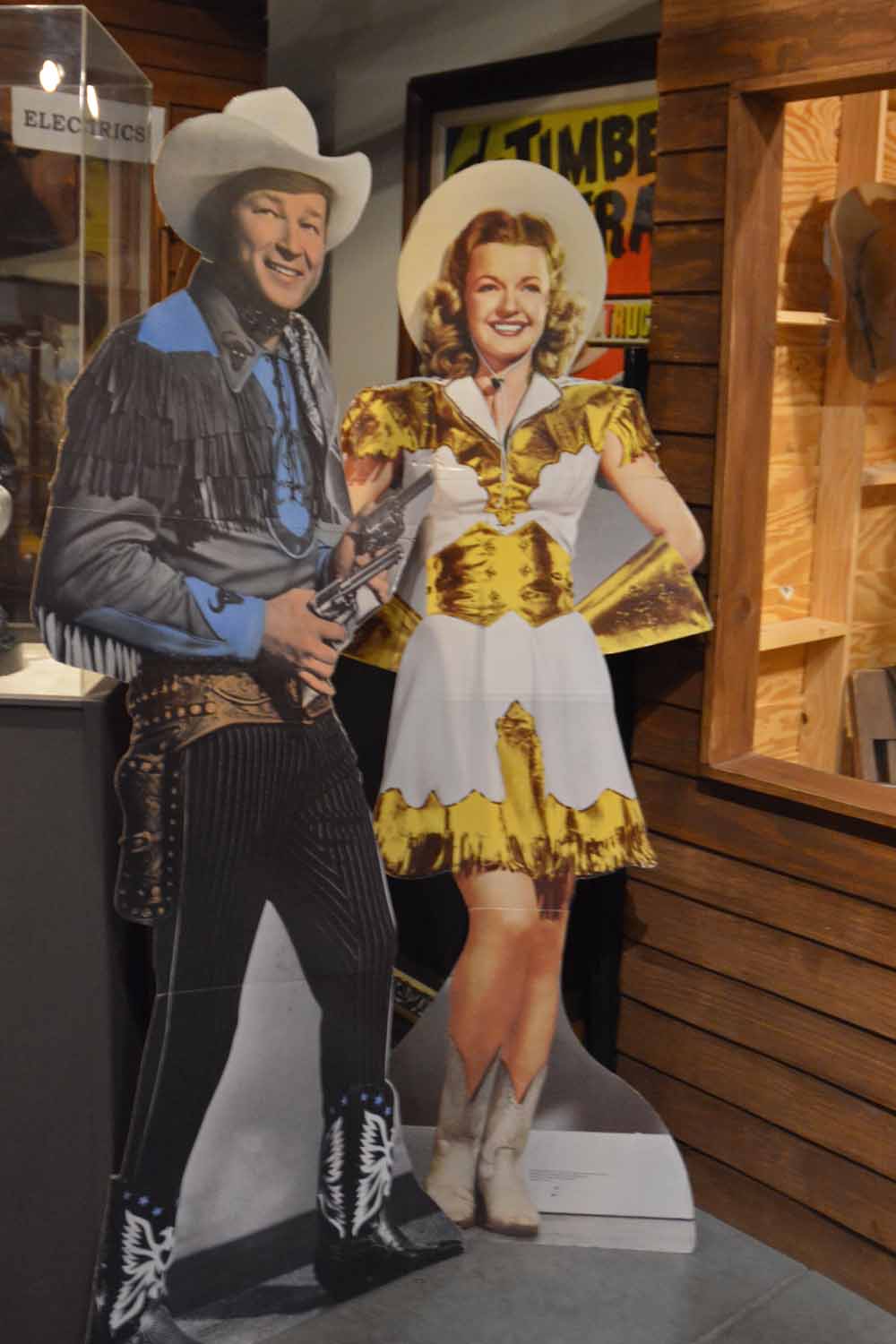
Are you old enough to remember Roy Roger and Dale Evans.  If so you fit into our generation.  Grandpa Snyder had his first TV in 1948 and at our house it was 1954.  "Those were the days".

Are you old enough to remember Roy Roger and Dale Evans. If so you fit into our generation. Grandpa Snyder had his first TV in 1948 and at our house it was 1954. “Those were the days”.

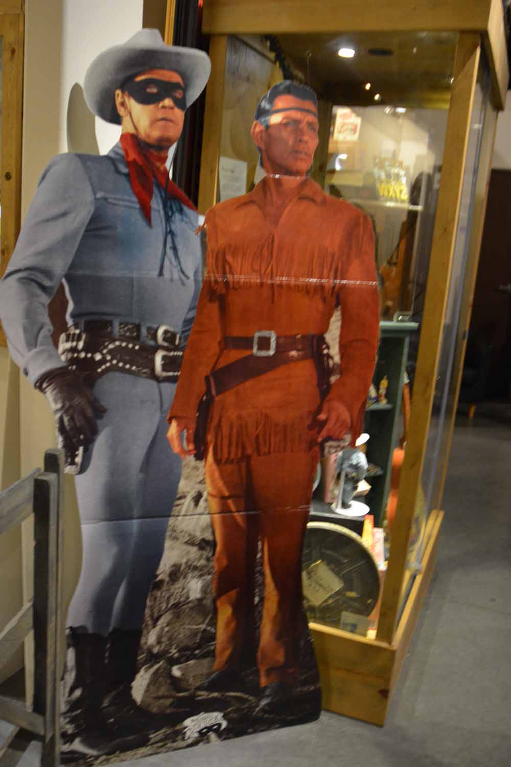
Lone Ranger and Tonto were an important part of our TV life in the 50's.

Lone Ranger and Tonto were an important part of our TV life in the 50’s.

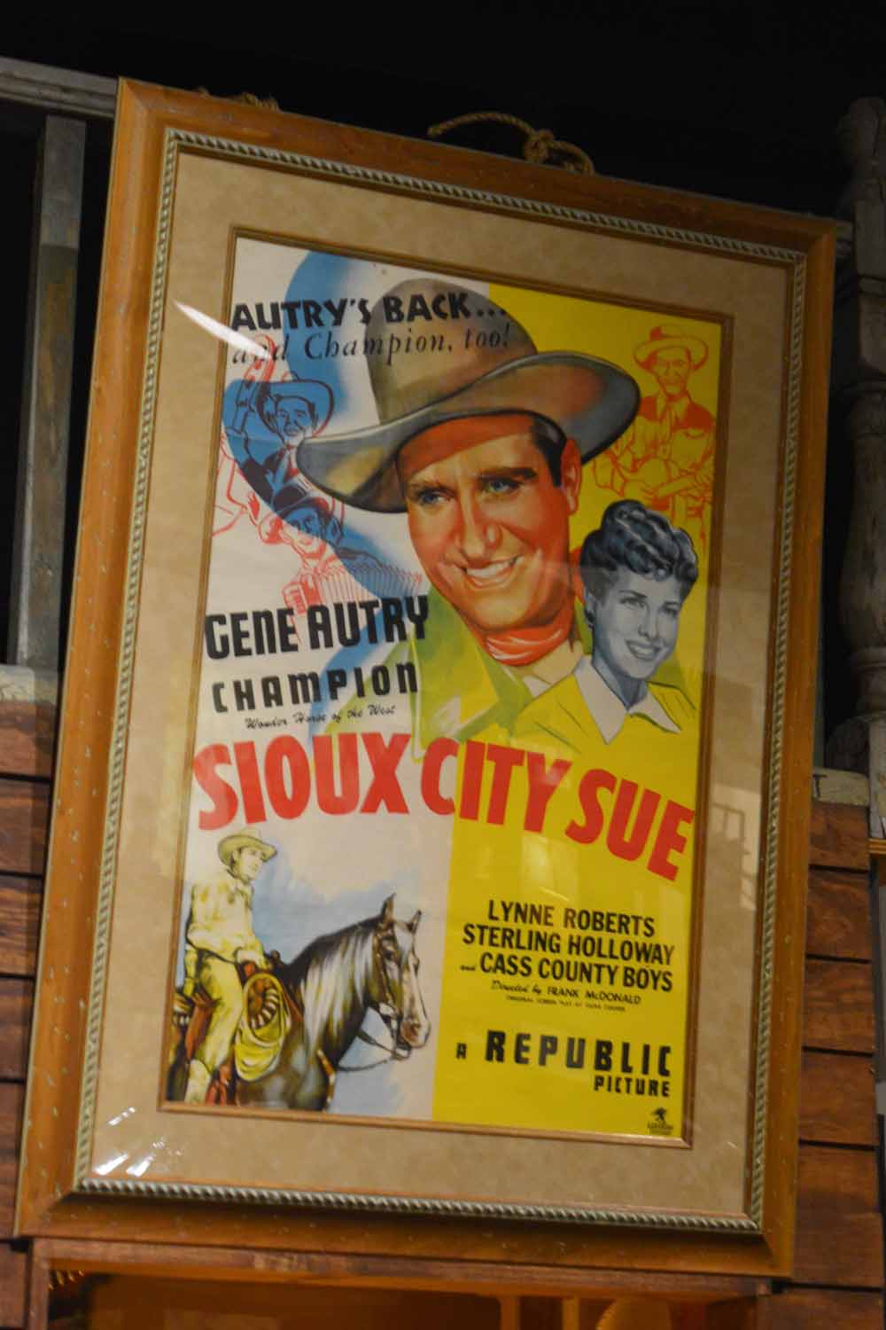
Oh Ya...then there was Gene Autry the singing cowboy.

Oh Ya…then there was Gene Autry the singing cowboy.

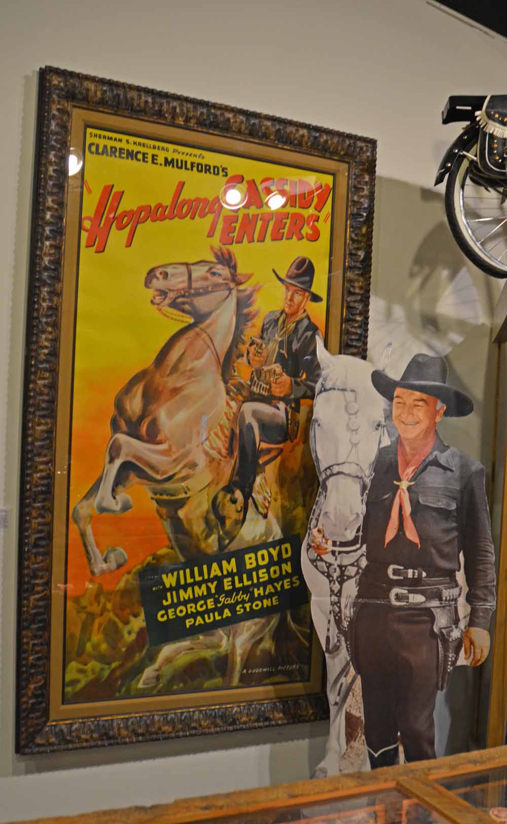
Who could forget Hopalong Cassidy.  Not sure he was ever my favorite.

Who could forget Hopalong Cassidy. Not sure he was ever my favorite.

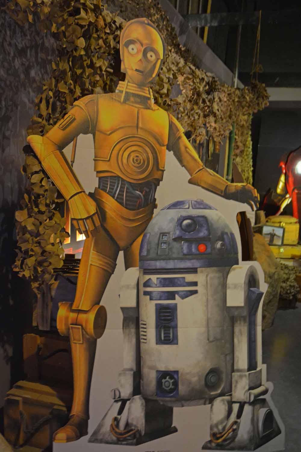
At Lone Pines in the Alabama mountains many scenes from Star Wars were shot.

At Lone Pines in the Alabama mountains many scenes from Star Wars were shot.

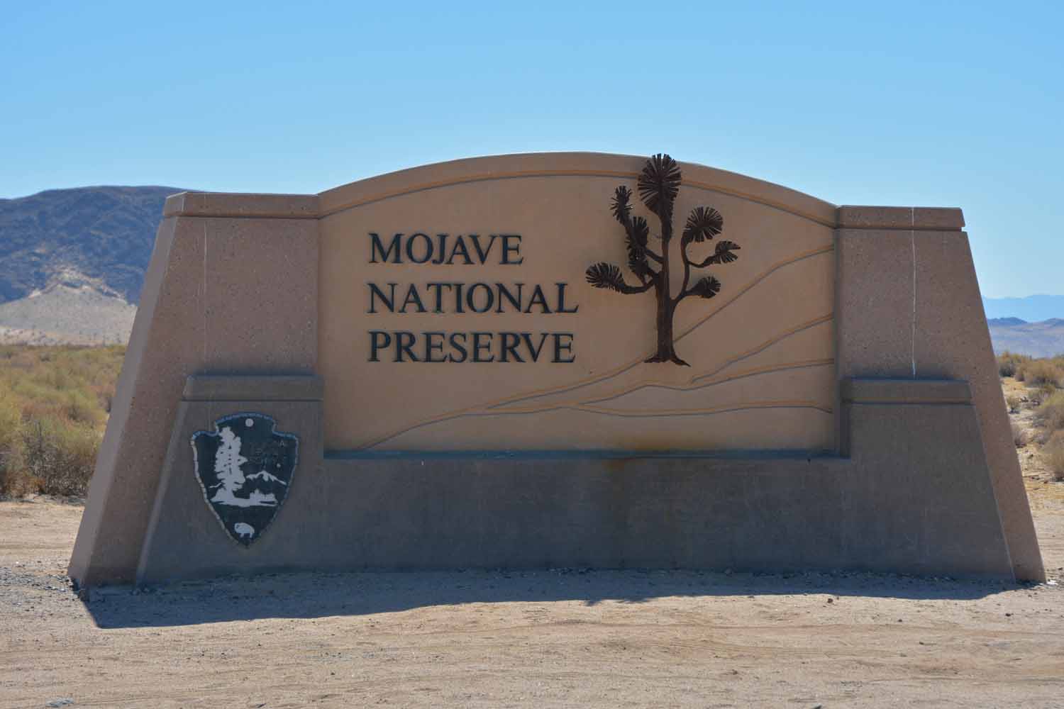
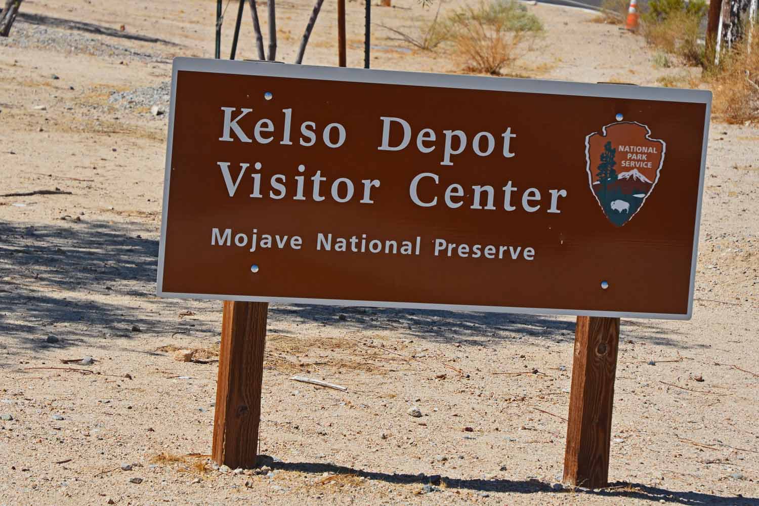
Leaving Death Valley, we headed to the Mojave National Reserve. It was a bit out the way but as long as we were doing this desert “thing” we would stay with it. Mojave was interesting, it was much hotter and not as complex as Death Valley. The visitor center in the middle of the preserve was an old railway stop. We spent an hour or two there learning about the desert and how the railroads utilized this stop.
Next stop after Death Valley was the Mojave Desert.

Next stop after Death Valley was the Mojave Desert.

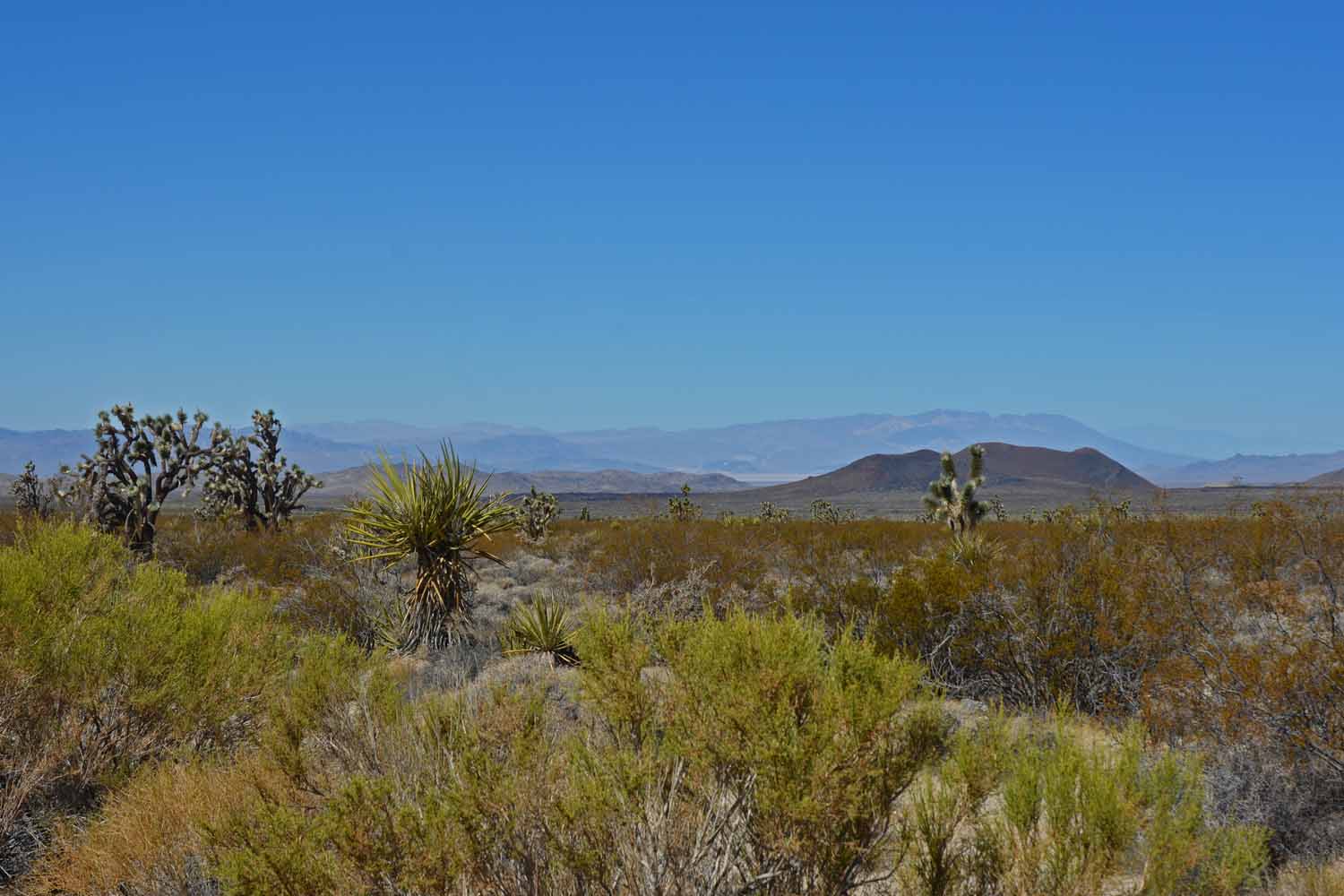
Ok, we are still in the desert.  Yes it was very hot.  The tourist season does not start here until November.

Ok, we are still in the desert. Yes it was very hot. The tourist season does not start here until November.
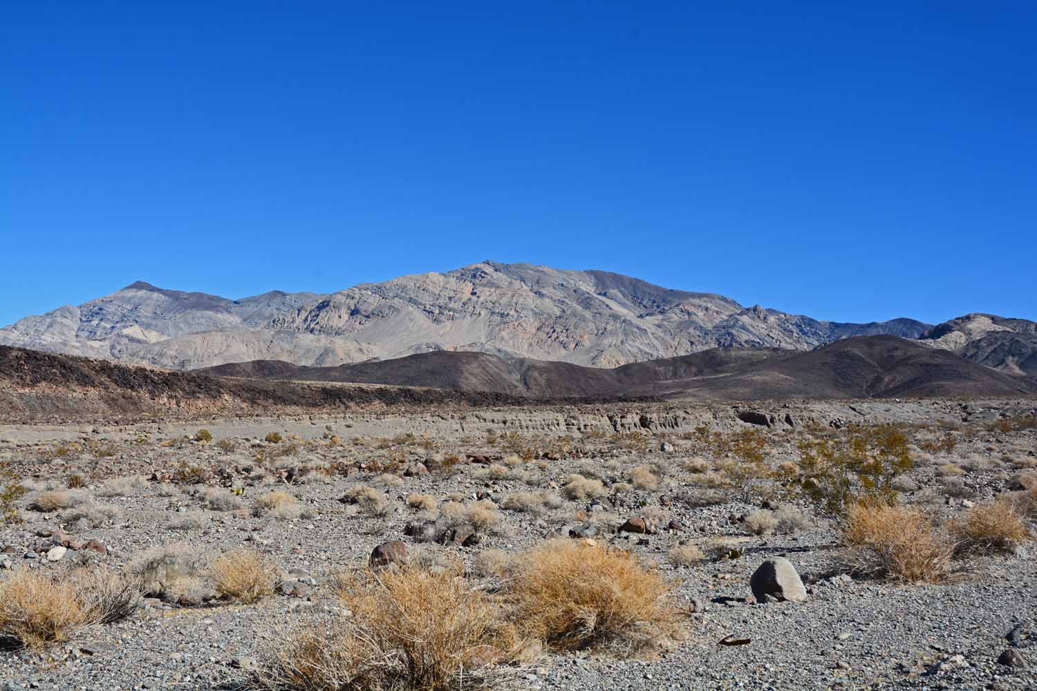
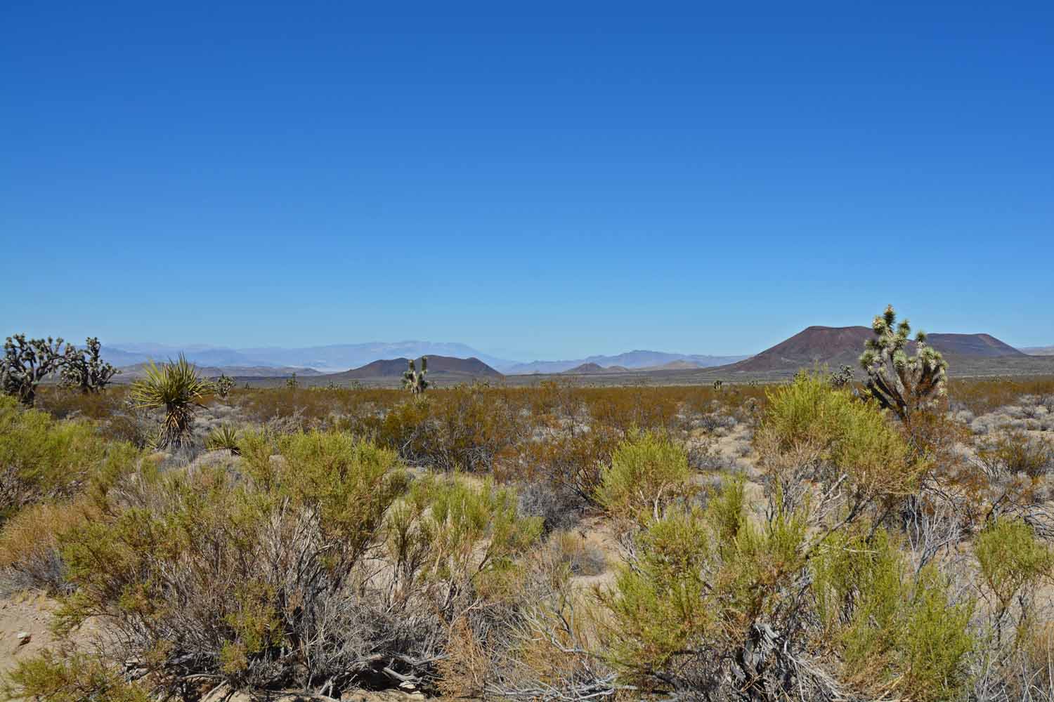
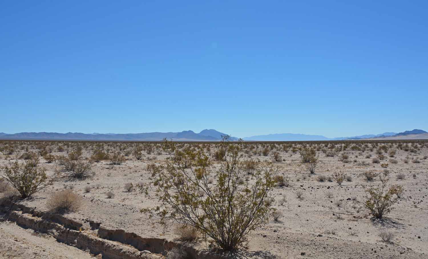
Mojave has mountains too.  Typical shot of the landscape.

Mojave has mountains too. Typical shot of the landscape.

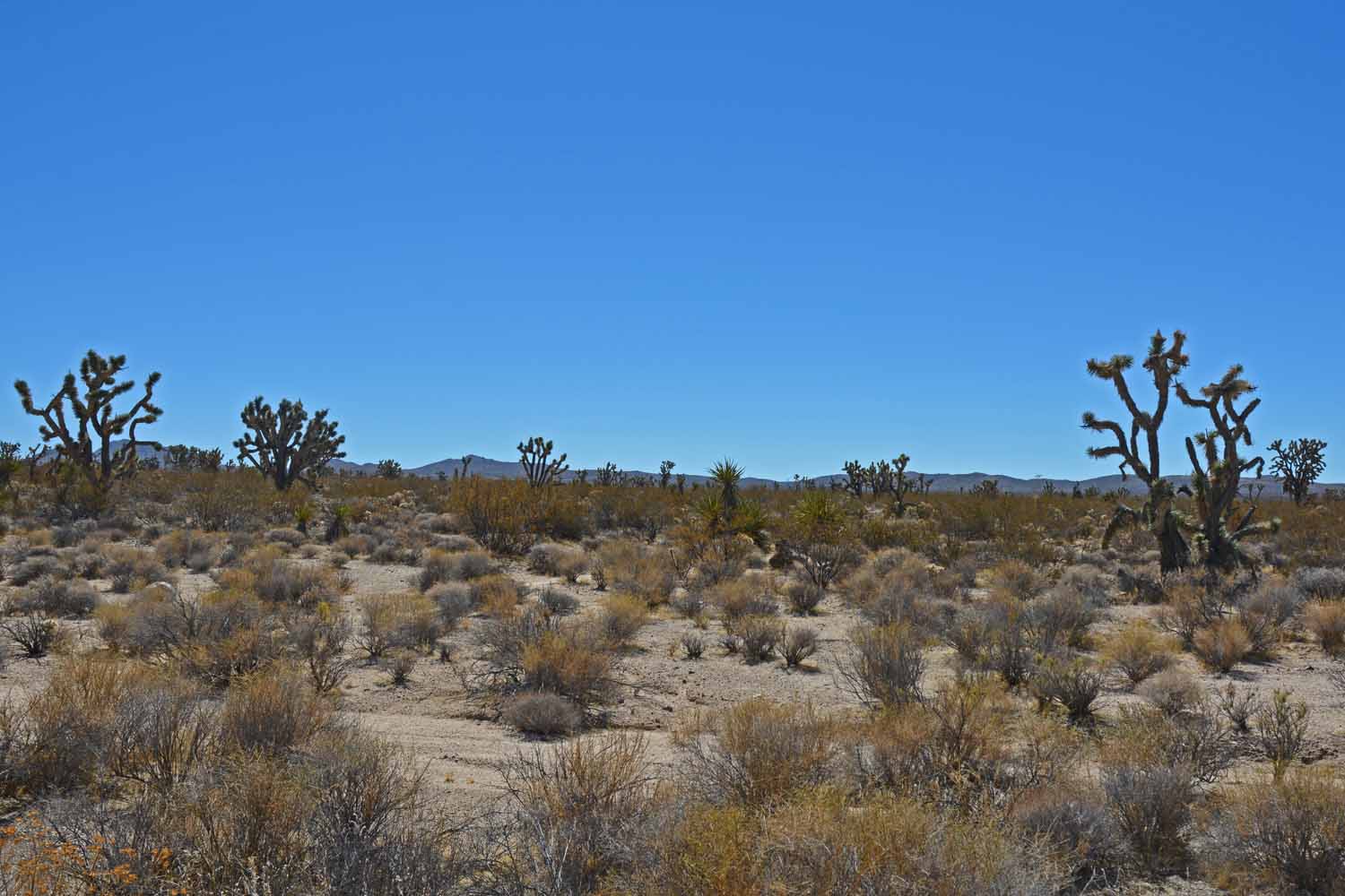
In the Mojave you start to see Joshua Trees.

In the Mojave you start to see Joshua Trees.

This picture is true Mojave Desert.

This picture is true Mojave Desert.

Here we are stopping again to take more photos.  The desert is beautiful in its own way.

Here we are stopping again to take more photos. The desert is beautiful in its own way.

The visitor center is in the middle of the desert.  It is at the Union Pacific stop where they built a large hotel to compete with the Eastern Railroad lines.
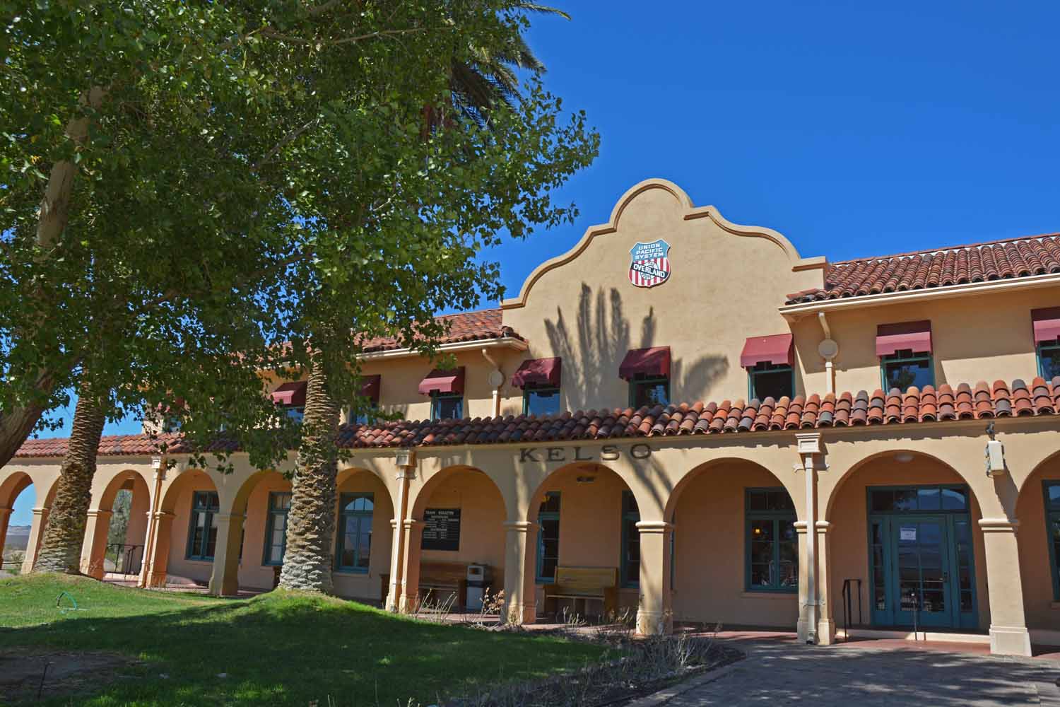
The visitor center is in the middle of the desert. It is at the Union Pacific stop where they built a large hotel to compete with the Eastern Railroad lines.

Here is the Union Pacific hotel and restaurant.  Nice stop to get a drink and catch up on the local history.

Here is the Union Pacific hotel and restaurant. Nice stop to get a drink and catch up on the local history.

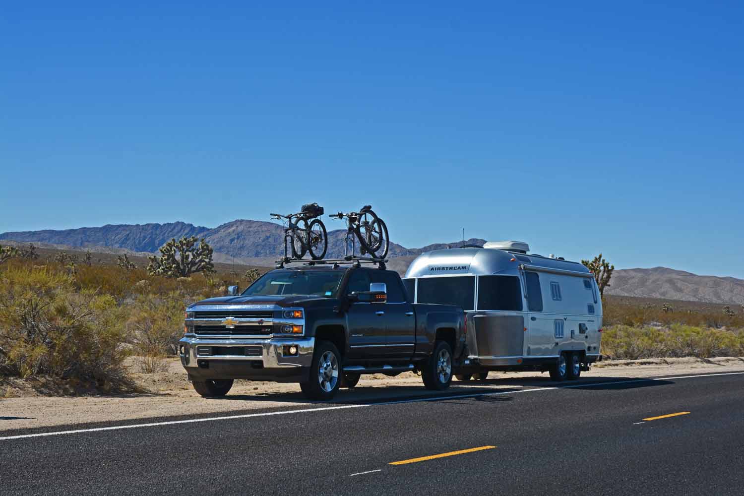
Our stay after Mojave was Needles, California. One of the many desert cities trying to survive the elements and remote location to the rest of the world. When we left there we traveled old highway 66 to Joshua Tree National Park. This section of 66 goes through the desert and clearly can be summed as a place time forgot.
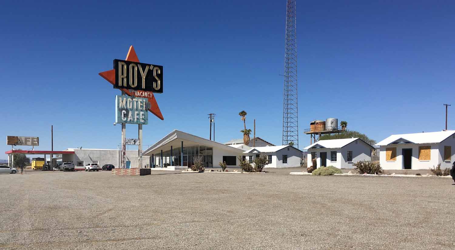
Traveling from Mojave to Joshua Tree National Park we traveled down a portion of old Route 66.  It is interesting to see what is left and try to envision what it was like in the 40's, 50's and 60's before the interstates.  Jan took this and thought it was a cool picture that captured a point in time.  For Larry the story that comes to mind is the book "Who Moved the Cheese"...with the theme of how to deal with change.

Traveling from Mojave to Joshua Tree National Park we traveled down a portion of old Route 66. It is interesting to see what is left and try to envision what it was like in the 40’s, 50’s and 60’s before the interstates. Jan took this and thought it was a cool picture that captured a point in time. For Larry the story that comes to mind is the book “Who Moved the Cheese”…with the theme of how to deal with change.

Jan and I had been to Joshua Tree once before over ten years ago. Our visit at that time was one to primarily observe an eclipse of the moon in the darkness of the desert. At the time we were staying on the coast near Los Angeles. All I can remember about that trip was coming back to LA after midnight in a traffic jam that moved at 80 miles an hour. This time we got to know the area much better. Really enjoying our time there. The rocks and the Joshua Trees are just fun to look at. There were some really nice hikes, some nice flat ones and one or two that really challenged us as. This area is also known for its rock climbing opportunities. Last time we were there we saw lots of activity this time we were before the rock climbing season started.
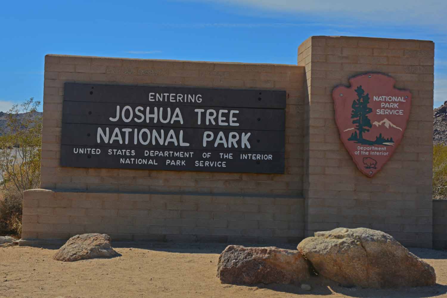
Jan and I toured Joshua Tree many years ago on trip from Disney World.  This was our first encounter with the High Desert.  It called us back on this trip where we had more time to take in the sights and explore the trails.
Jan and I toured Joshua Tree many years ago on trip from Disney World. This was our first encounter with the High Desert. It called us back on this trip where we had more time to take in the sights and explore the trails.

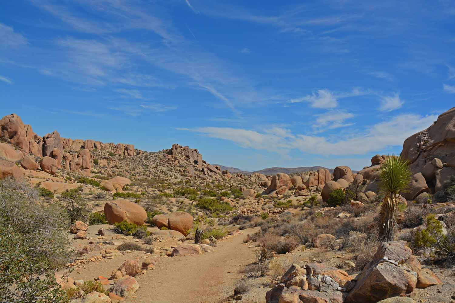
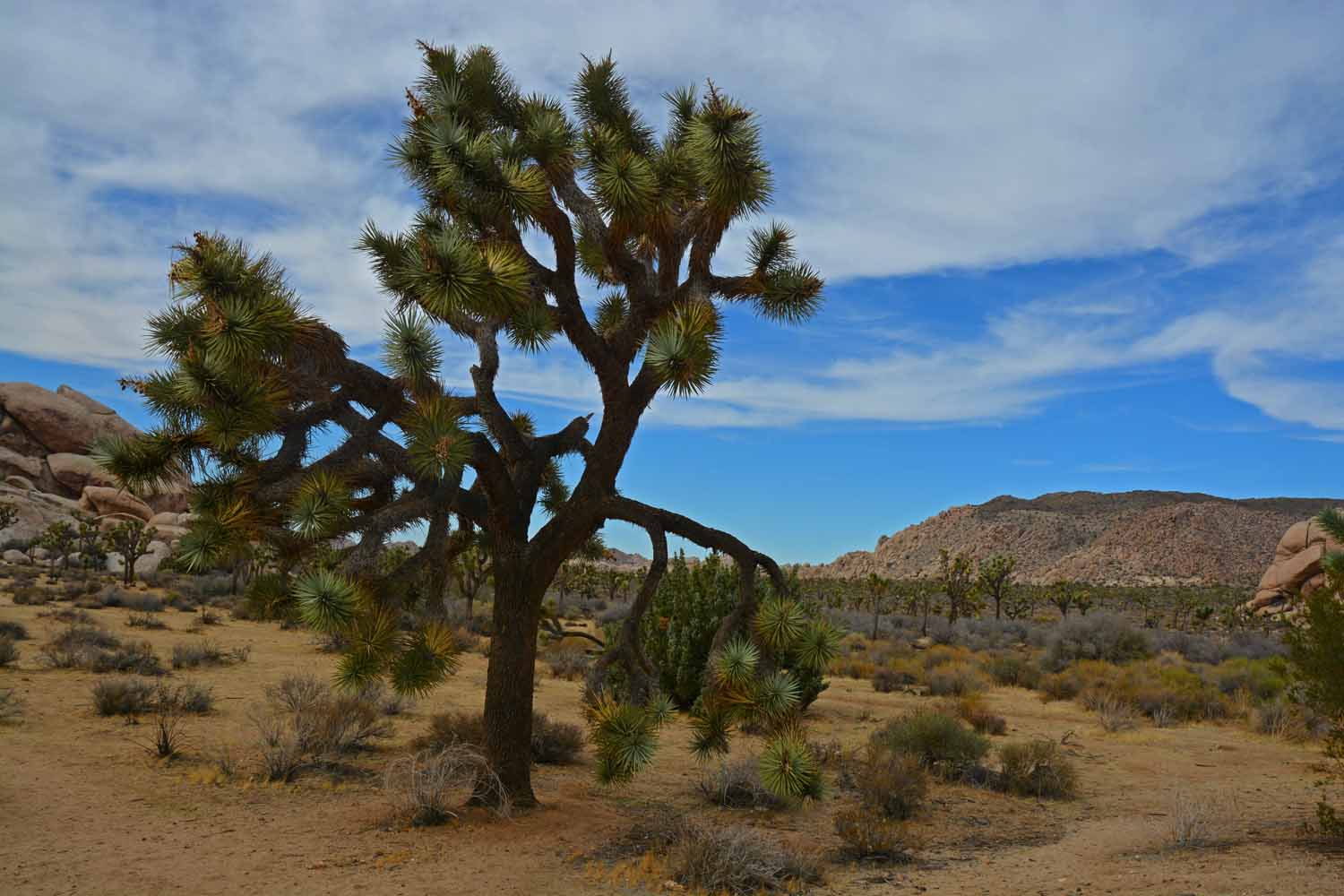
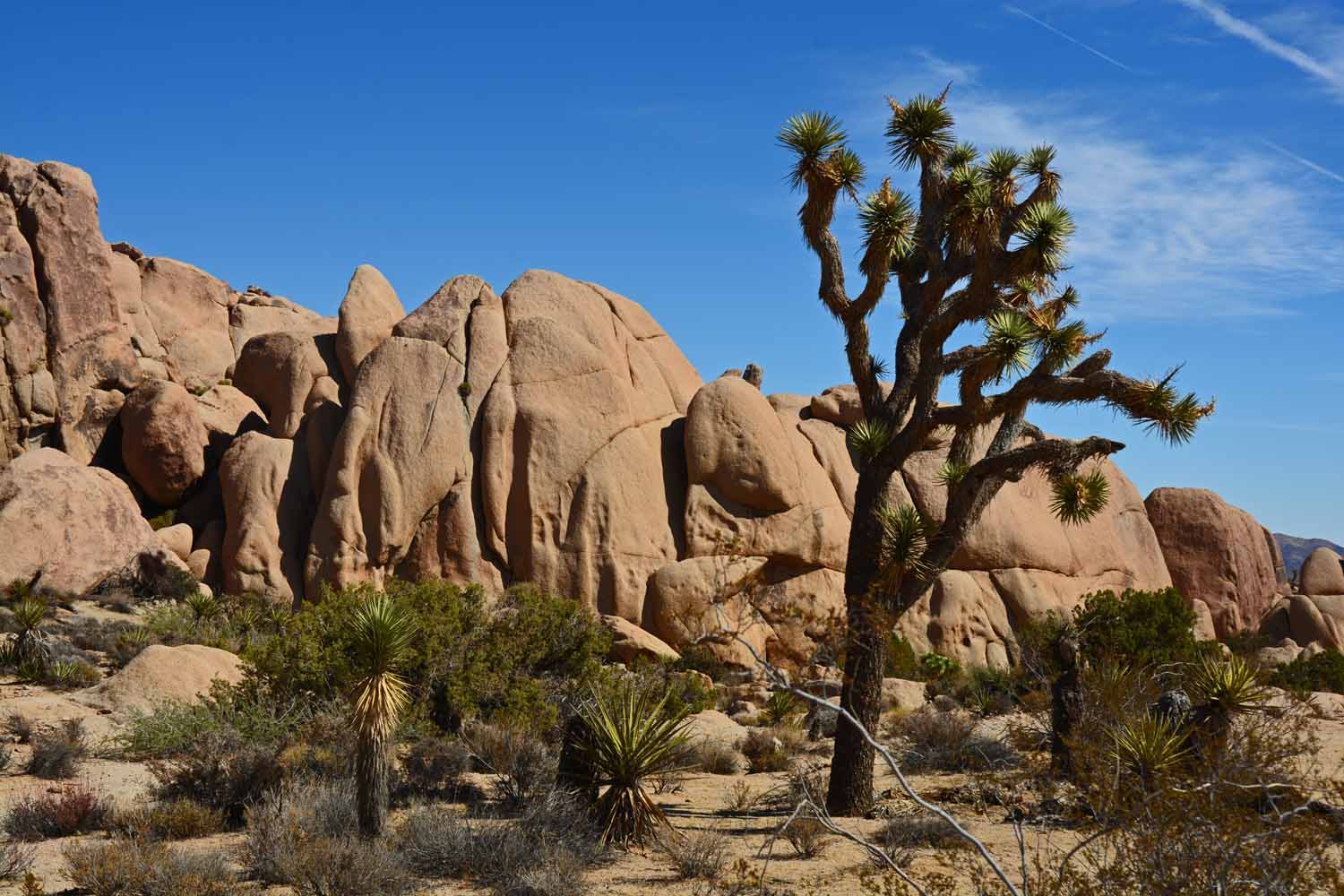
This shot was taken on one of several hikes.  The Joshua Trees are impressive and very different from what you see in the Mid-west and the East.
This shot was taken on one of several hikes. The Joshua Trees are impressive and very different from what you see in the Mid-west and the East.

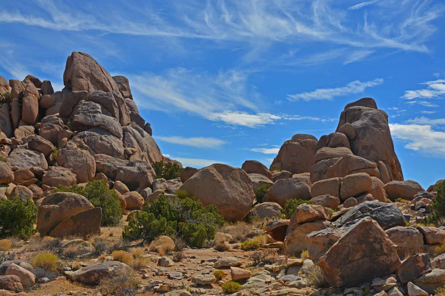
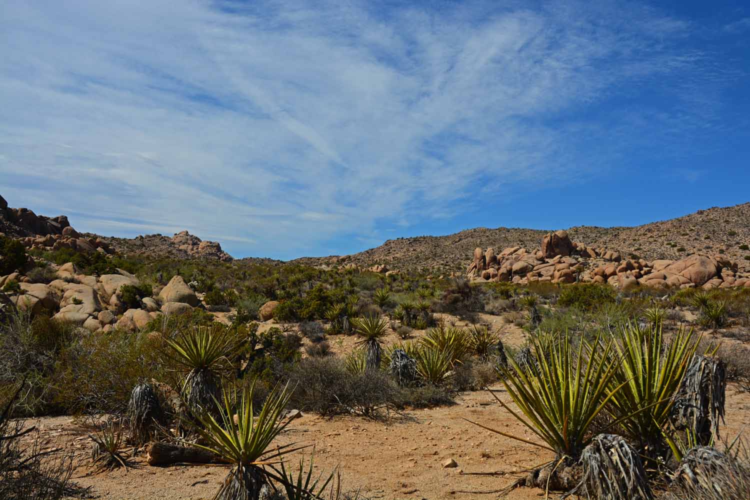
Joshua Tree is still the desert.  However it is much different experience than Death Valley or Mojave.

Joshua Tree is still the desert. However it is much different experience than Death Valley or Mojave.
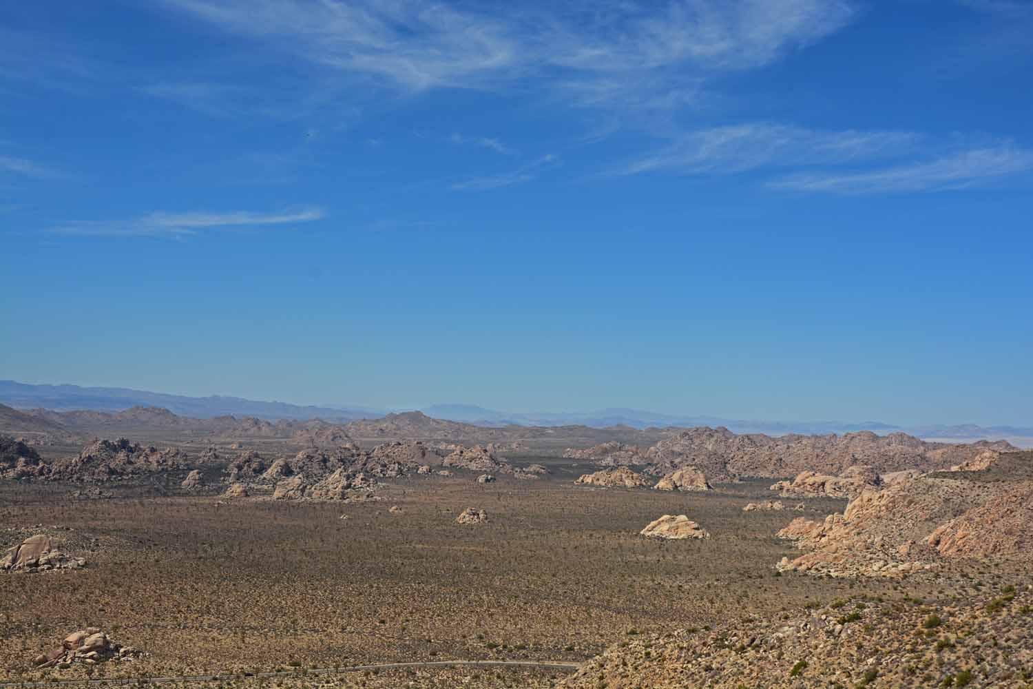
The blue sky sure helped sets this photo off...

The blue sky sure helped sets this photo off…

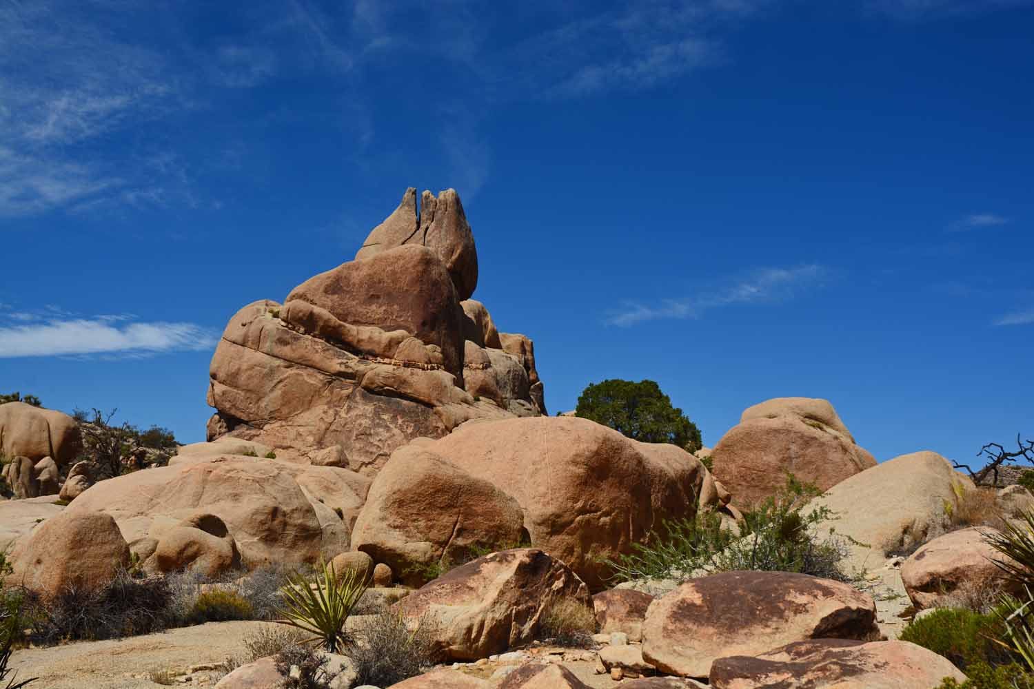
This is split rock on the Split Rock trail.  Sort of looks like something out of an old movie.

This is split rock on the Split Rock trail. Sort of looks like something out of an old movie.

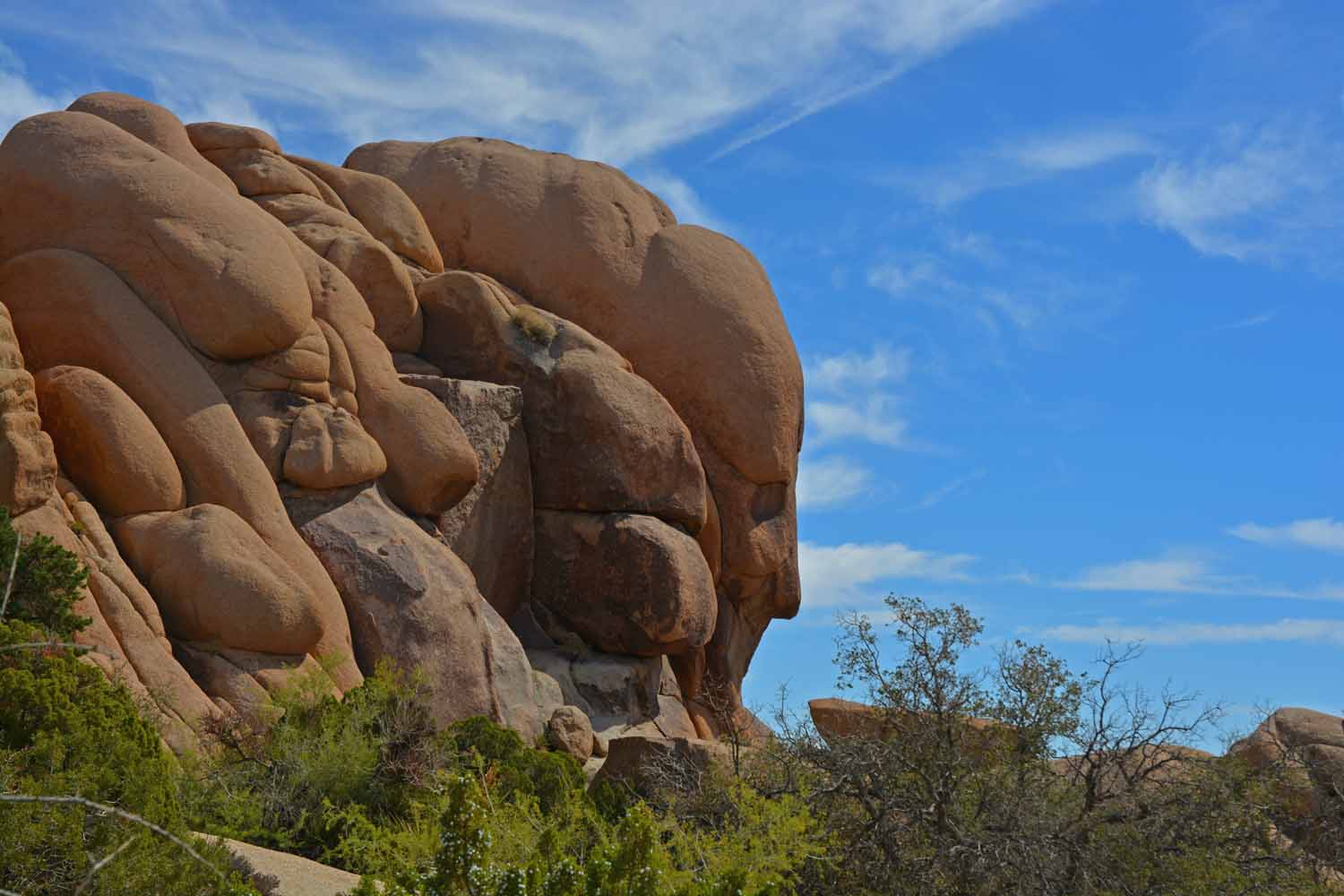
This was call face in the rock.  Took a bit of walking to get here.

This was call face in the rock. Took a bit of walking to get here.

This is Split Rock trail.  It was a very different hiking experience.  It did keep us entertained.

This is Split Rock trail. It was a very different hiking experience. It did keep us entertained.

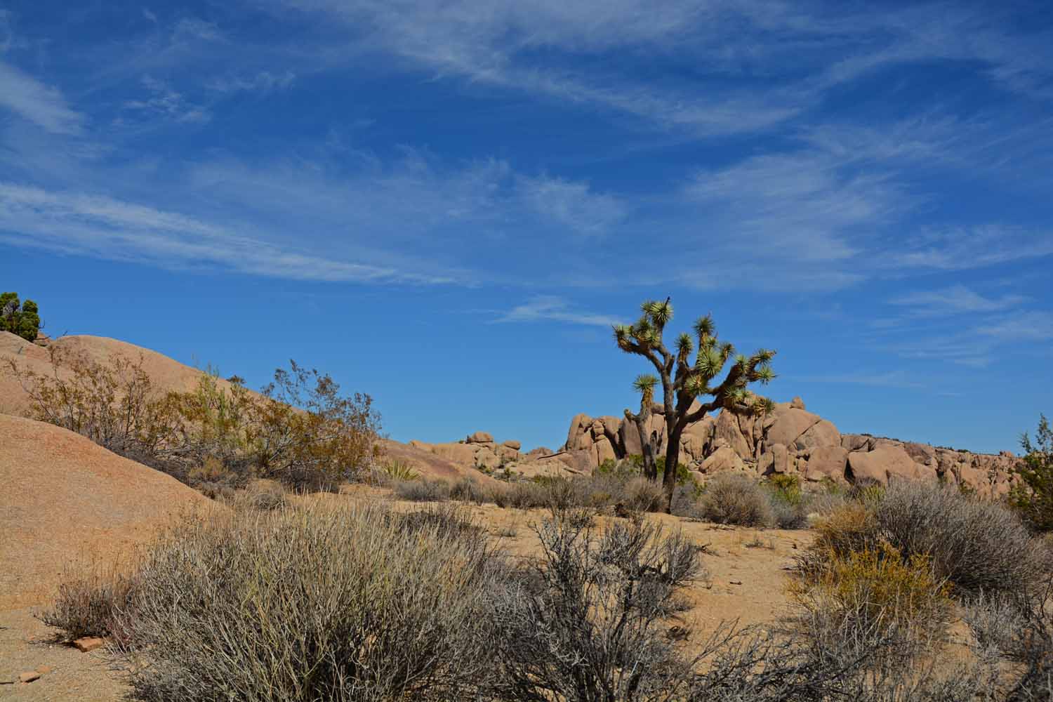
Had to shoot this Joshua Tree against the blue sky.

Had to shoot this Joshua Tree against the blue sky.

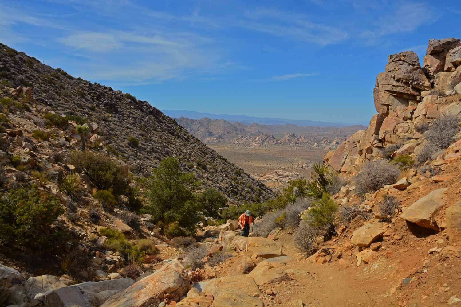
We did do one major hike called the Ryan's Mountain Trail.  This shot was taken early on the climb up.

We did do one major hike called the Ryan’s Mountain Trail. This shot was taken early on the climb up.
Here is Jan working her way up the Ryan's Mountain Trail...

Here is Jan working her way up the Ryan’s Mountain Trail…

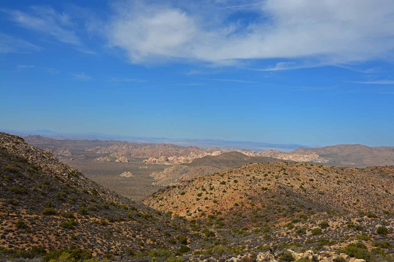
The views get better the higher you go.

The views get better the higher you go.

This is a very old Joshua Tree.  Some trees here are several hundred years old.

This is a very old Joshua Tree. Some trees here are several hundred years old.

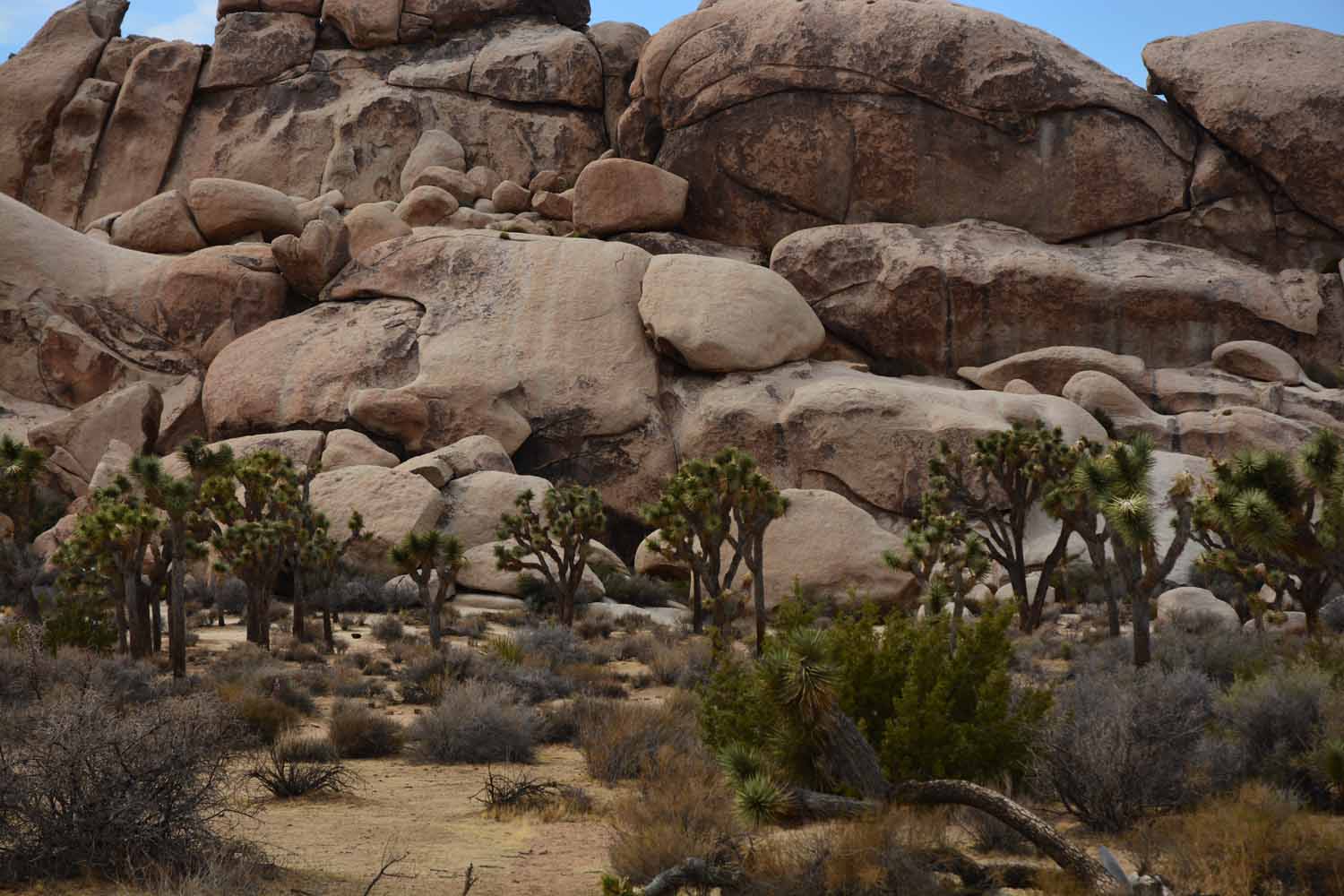
Not sure if the trees are small here or the rock are large.

Not sure if the trees are small here or the rock are large.

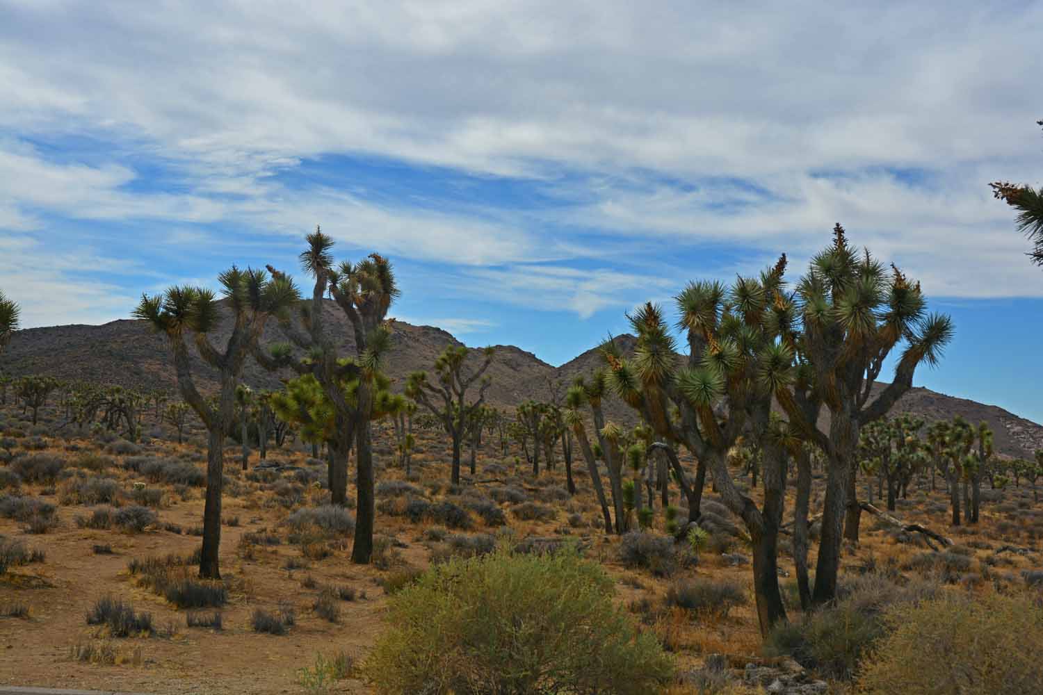
More Joshua Trees...

More Joshua Trees…

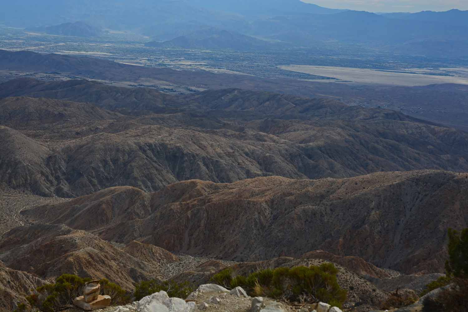
This is not that great of a photo but there is lot going on here.  You can see Palm Springs where there are over 300 golf courses.  You can see the San Bernardino Mountains and a mountain range in Mexico.  The Salton Sea is in the distance and if you look closely you can see the Sans Andreas Fault.  While we were there and after we left there was Earthquake activity in the Salton Sea and it raises the concern that it would trigger a reaction from the Sans Andreas Fault.
This is not that great of a photo but there is lot going on here. You can see Palm Springs where there are over 300 golf courses. You can see the San Bernardino Mountains and a mountain range in Mexico. The Salton Sea is in the distance and if you look closely you can see the Sans Andreas Fault. While we were there and after we left there was Earthquake activity in the Salton Sea and it raises the concern that it would trigger a reaction from the Sans Andreas Fault.

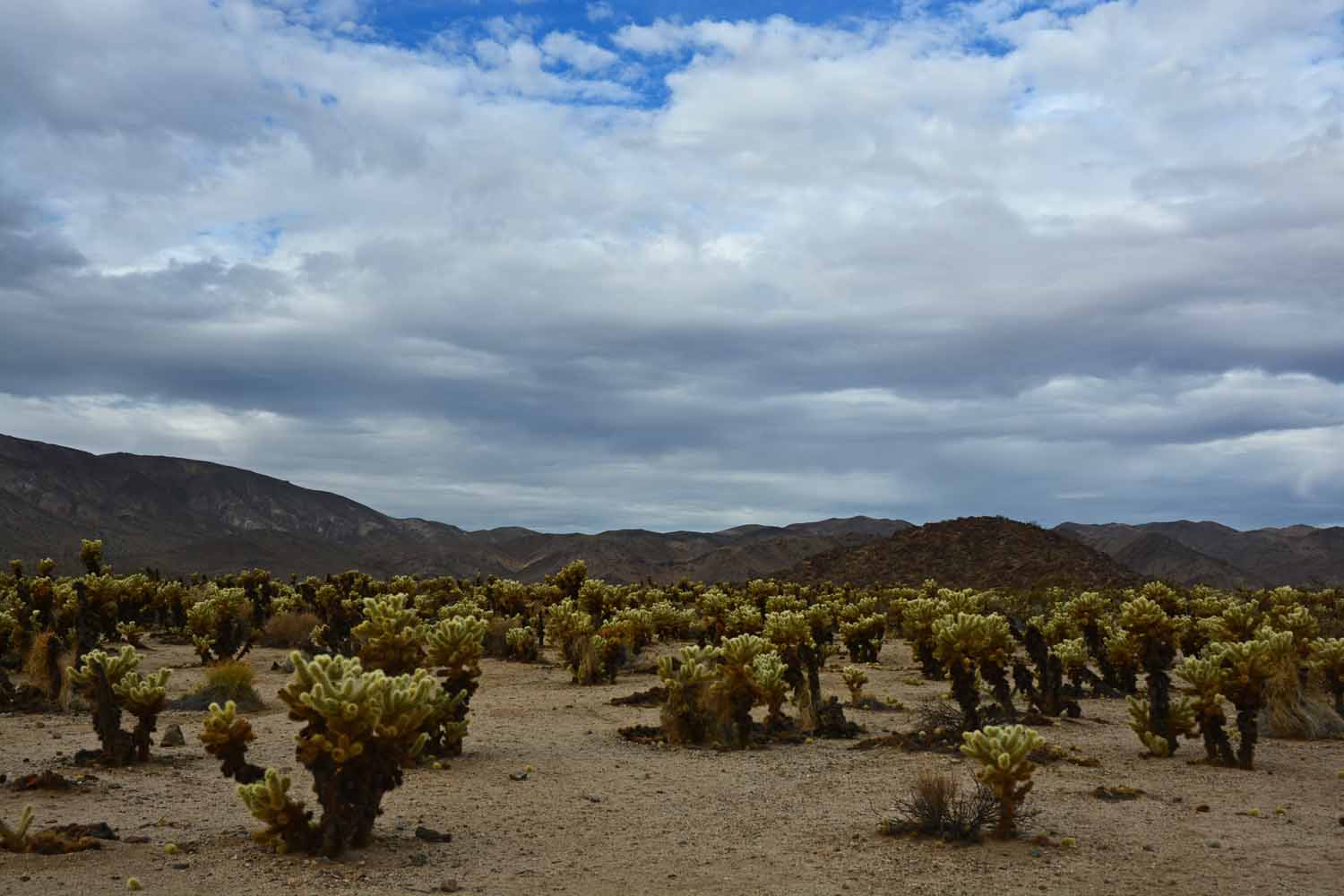
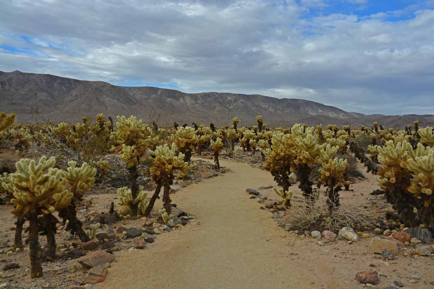
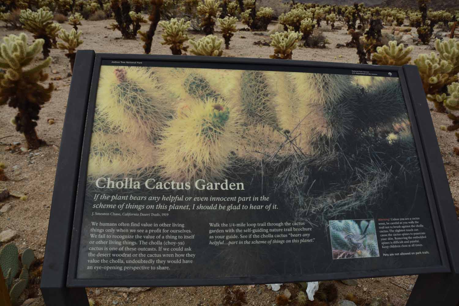
We made a stop at the Cholla Cactus Garden.  These are called jumping cactus and have a bad reputation.

We made a stop at the Cholla Cactus Garden. These are called jumping cactus and have a bad reputation.
Cholla Cactus Garden where one wants to be careful not to get too close.

Cholla Cactus Garden where one wants to be careful not to get too close.

There was a nice trail through the Cholla Cactus Garden.

There was a nice trail through the Cholla Cactus Garden.

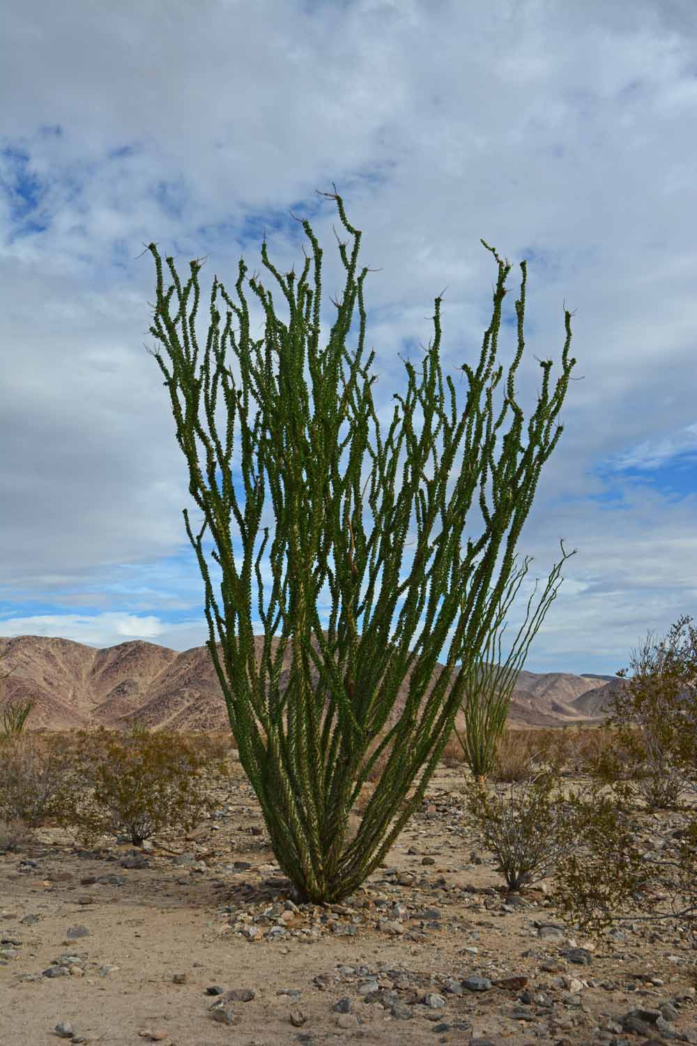
We found these plants fascinating.  They are Ocotillo plants and interestingly they are deciduous.  These plants loose their leaves when it is dry so they complete the cycle several times a year.  They were all green when we saw them as there had been recent rains.

We found these plants fascinating. They are Ocotillo plants and interestingly they are deciduous. These plants loose their leaves when it is dry so they complete the cycle several times a year. They were all green when we saw them as there had been recent rains.

We are loving being on the road seeing new places and meeting new people. Now we are in the final leg of this trip. The plans for our winter stay on the Gulf coast are falling into place. It will be great to get back to catch up with everyone at The Ridge. Larry is looking forward to getting back to the gym and for Jan back to working on her piano keyboard skills. One more blog update for this trip when we get back in less than two weeks.

God Bless,

Larry and Jan
One thought on “Yosemite to Joshua Tree National Parks – Summer Travels 2016 – Part Three
Leave a Reply

Your email address will not be published. Required fields are marked *

This site uses Akismet to reduce spam. Learn how your comment data is processed.