Mt. Rainier to Lassen Volcanic National Park – Summer Travels 2016 – Part Two

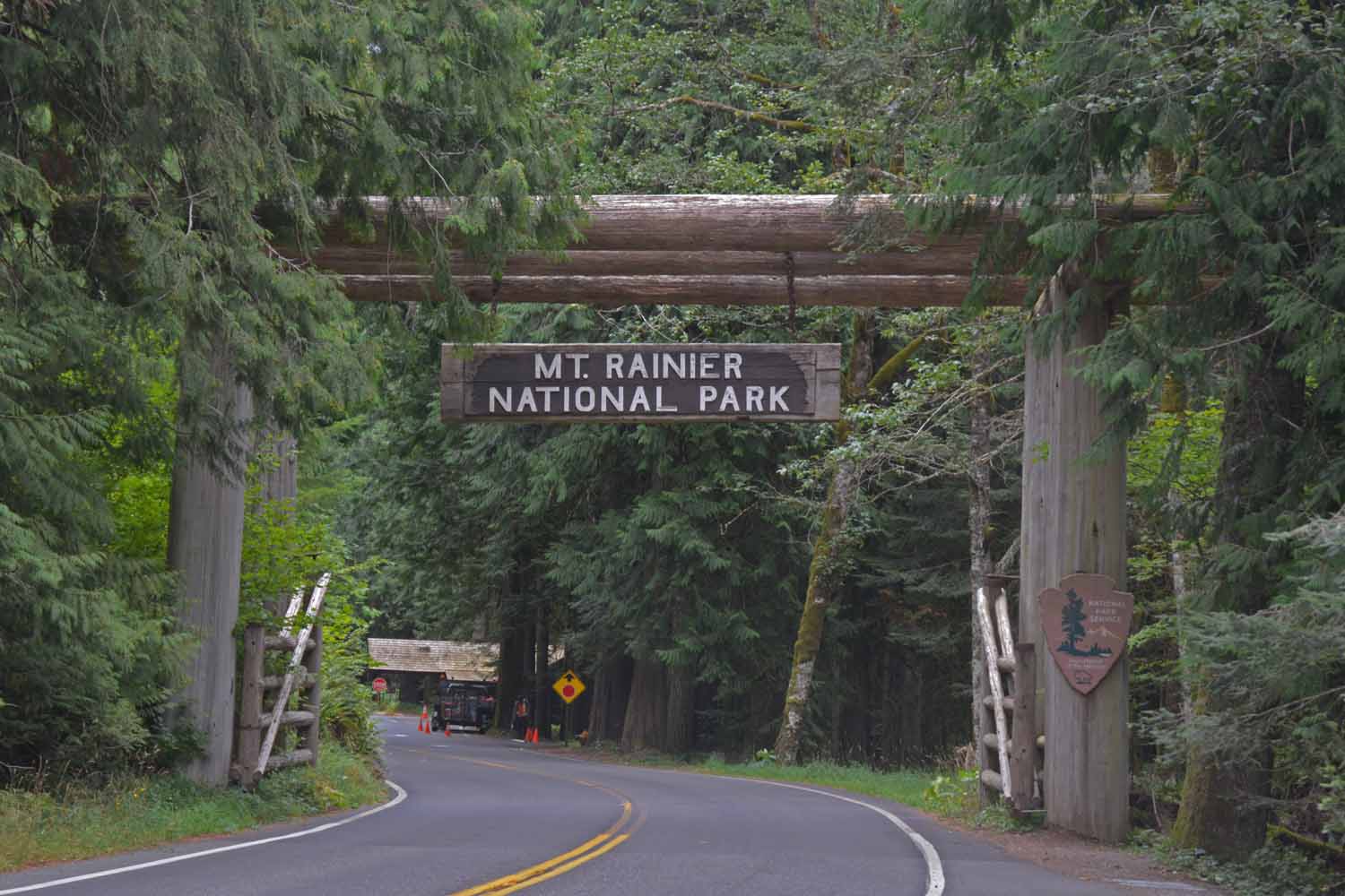
Leaving Seattle, we headed southeast to Mt. Rainier. This is a return visit and both of us were looking forward to hiking and taking in some good views. As we arrived it turned very cold, rainy and the next day the prediction was snow. The hiking trails were closed, we were cold so out of character we packed our bags and moved on as the front had settled in for a few days. We added a couple of days to our stay at Port Angeles near the Olympic National Park.
Ten years ago we visited Mt Rainier.  It had just snowed and there were clear views and lots of sunshine.  This time rain, snow and fog which hampered our plans to explore the mountain and hike the trails.
Ten years ago we visited Mt Rainier. It had just snowed and there were clear views and lots of sunshine. This time rain, snow and fog which hampered our plans to explore the mountain and hike the trails.

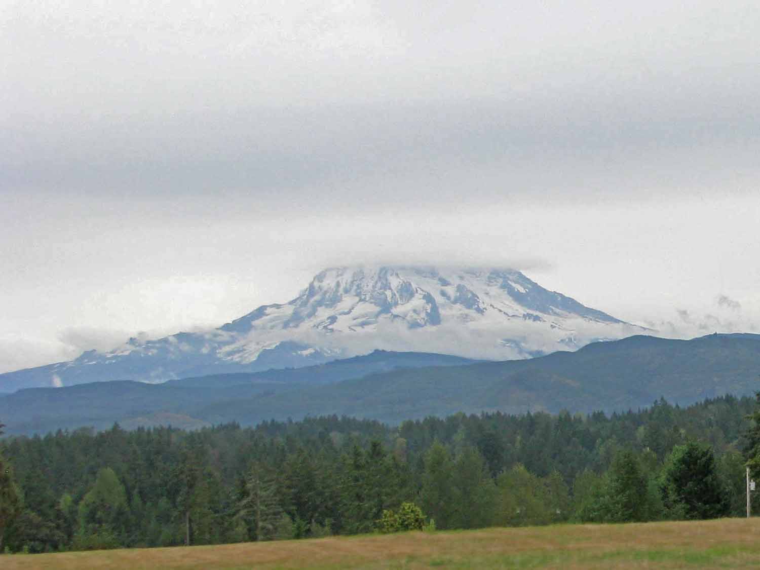
The mountain did peek through as we were leaving and this is the only good photo we got.

The mountain did peek through as we were leaving and this is the only good photo we got.

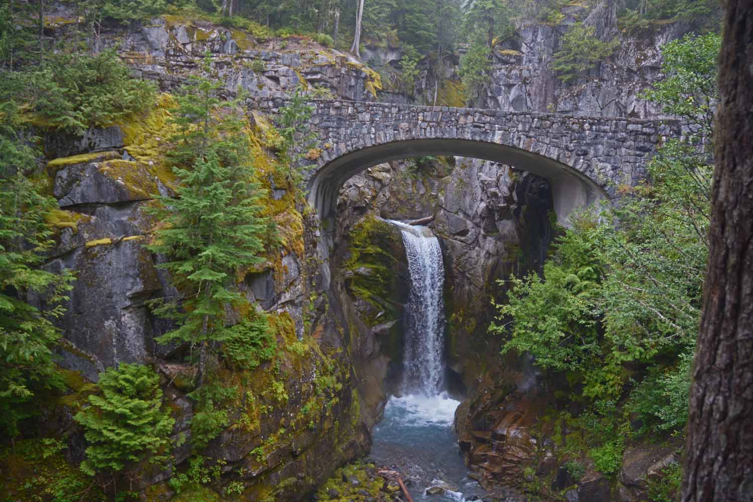
Fine stone work on this bridge and nice view of the falls as we make our way into the park.

Fine stone work on this bridge and nice view of the falls as we make our way into the park.

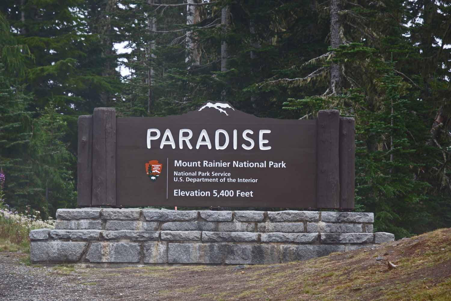
Our campground site was at Paradise...but the weather surely was not treating us nice.

Our campground site was at Paradise…but the weather surely was not treating us nice.

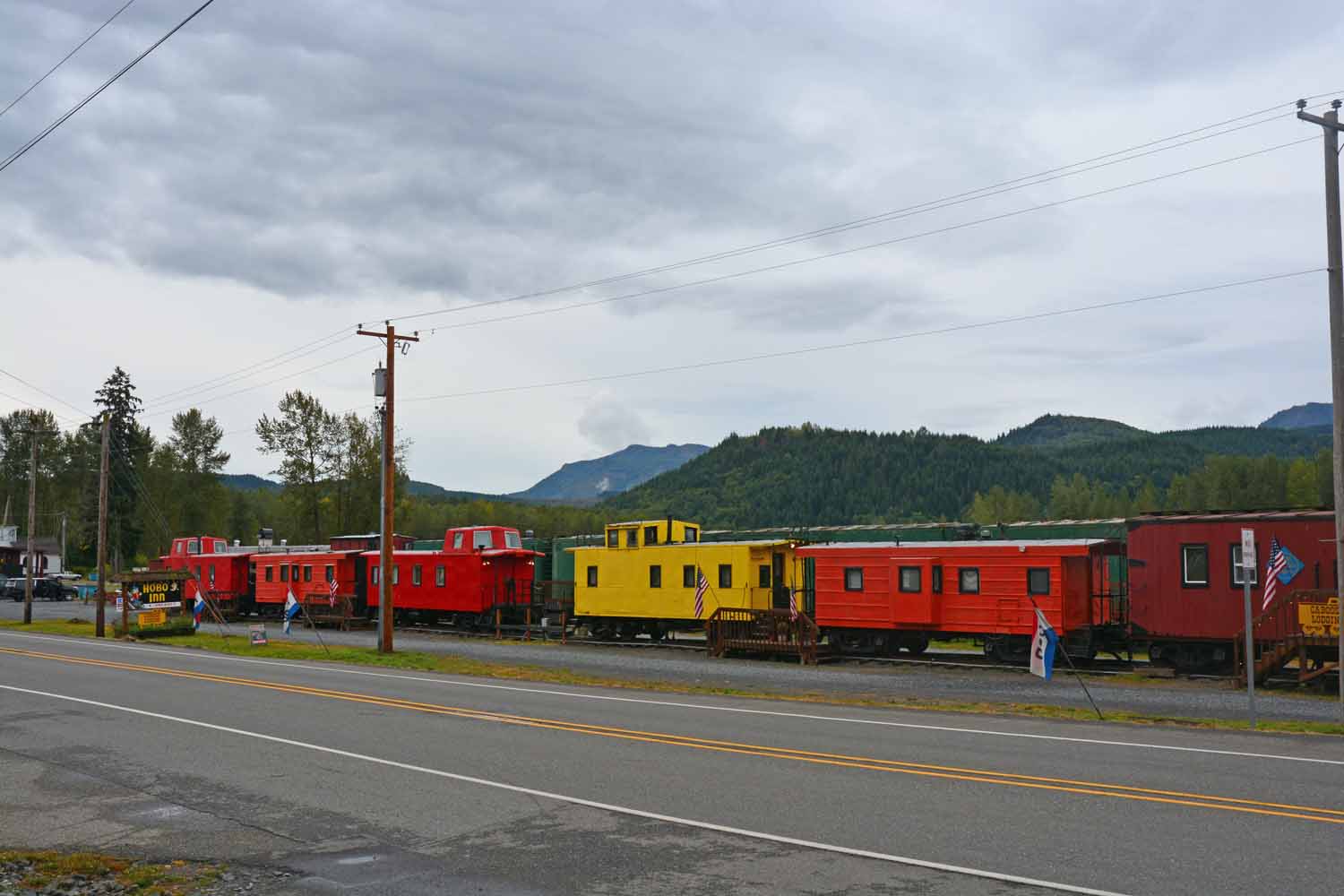
As we left Mt Rainier we stopped along the way to check out the Hobo Inn.  Looked liked it would be an interesting place to spend the night.

As we left Mt Rainier we stopped along the way to check out the Hobo Inn. Looked liked it would be an interesting place to spend the night.

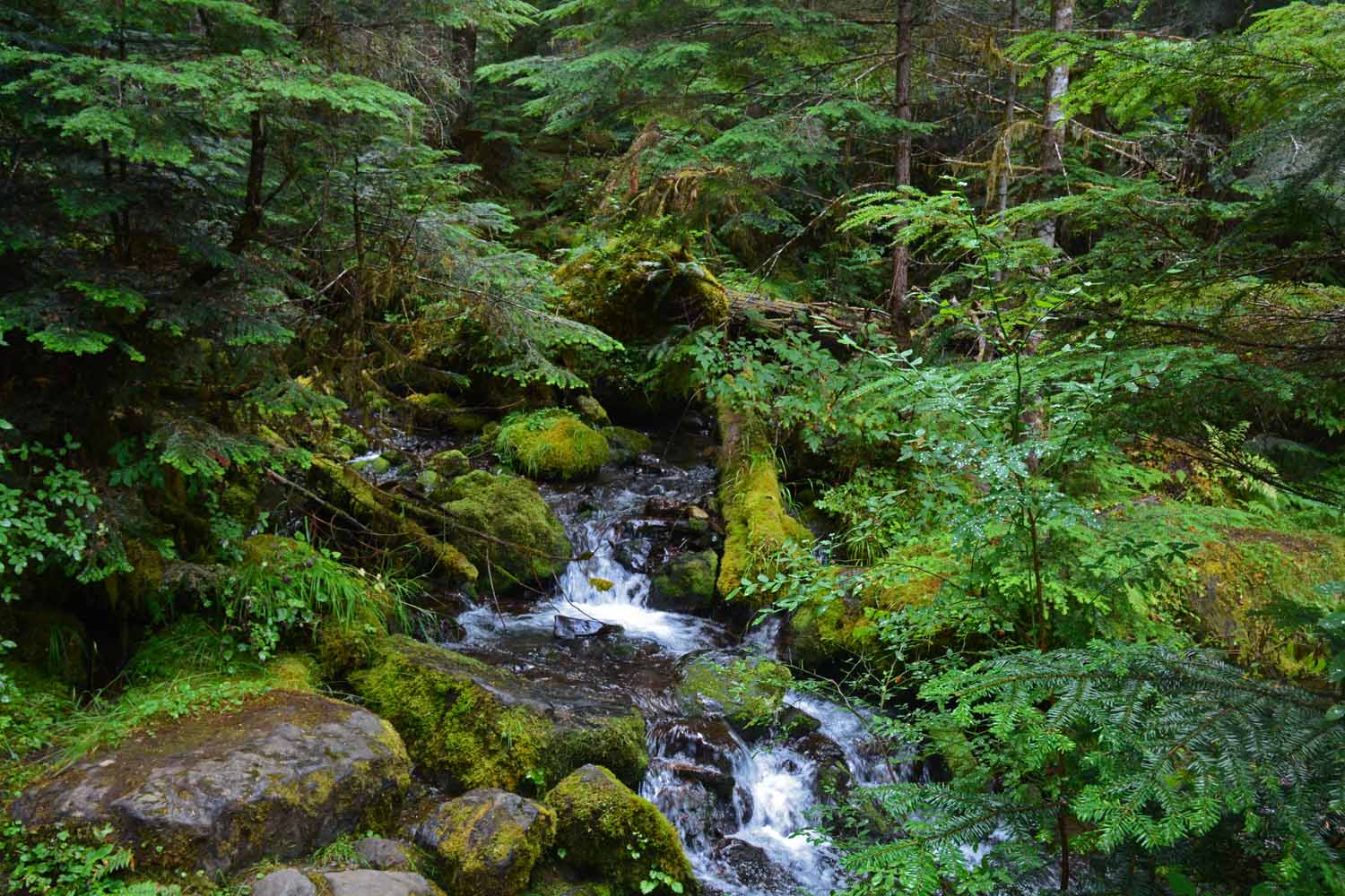
In past travels we had taken a day trip from Seattle to the Olympic National Park. We ended up spending six days here this time. There was still more to do and we are talking about coming back. The Olympic Park is a temperate Rain Forest. Everything was lush and green all be it a bit on the cool side and damp all the time. There were lots of nice hikes plus the area is very interesting. There were lots of side trips as the following pictures will tell.
Next up was Olympic National Park.  When we visited Washington a decade ago we spent a day checking out the park.  Looked forward spending more time here.

Next up was Olympic National Park. When we visited Washington a decade ago we spent a day checking out the park. Looked forward spending more time here.
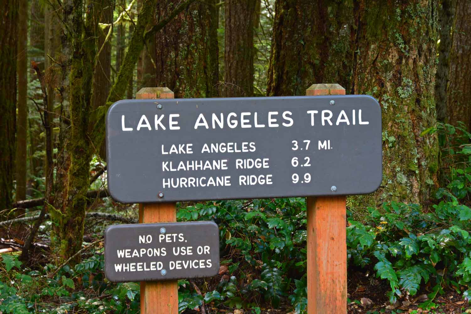
One our bigger hikes so far was to Lake Angeles.  The trail climbed over 2,600 ft. to 6,500 ft.  The goal was a lake at the end in a canyon with a high cliffs setting.

One our bigger hikes so far was to Lake Angeles. The trail climbed over 2,600 ft. to 6,500 ft. The goal was a lake at the end in a canyon with a high cliffs setting.
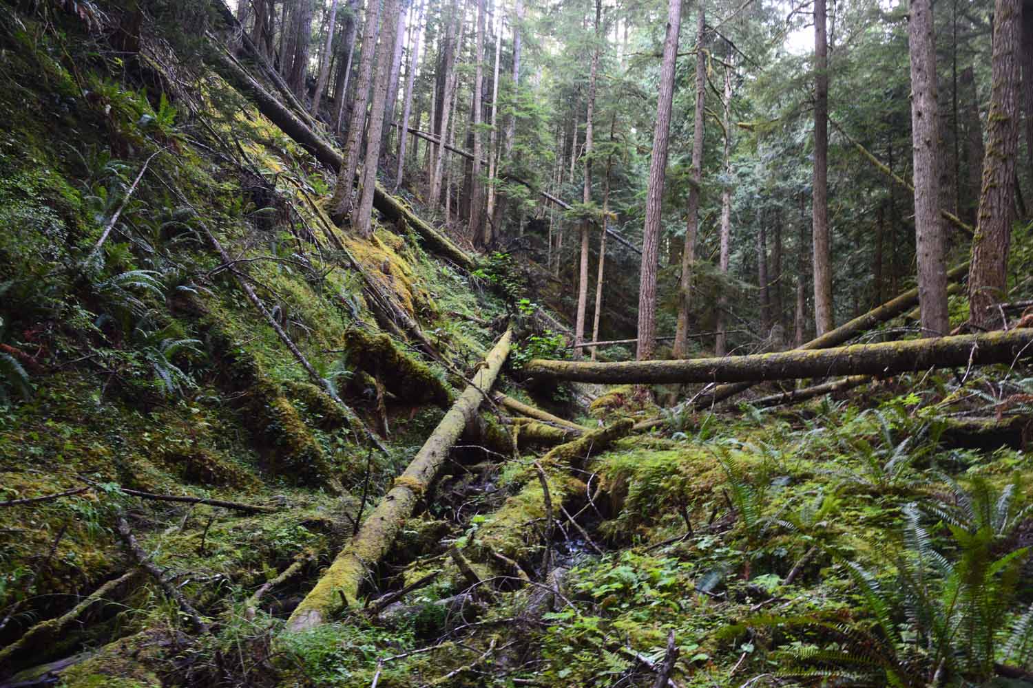
The trail was very interesting.  Here we got to experience a rain forest setting at high altitudes.  The terrain was very rugged as you can see.

The trail was very interesting. Here we got to experience a rain forest setting at high altitudes. The terrain was very rugged as you can see.
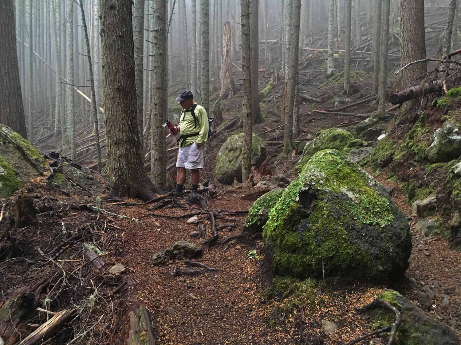
Larry taking a water break.  The temps were in the 60s when we started and by the time we reached the top was in the low 40s.

Larry taking a water break. The temps were in the 60s when we started and by the time we reached the top was in the low 40s.
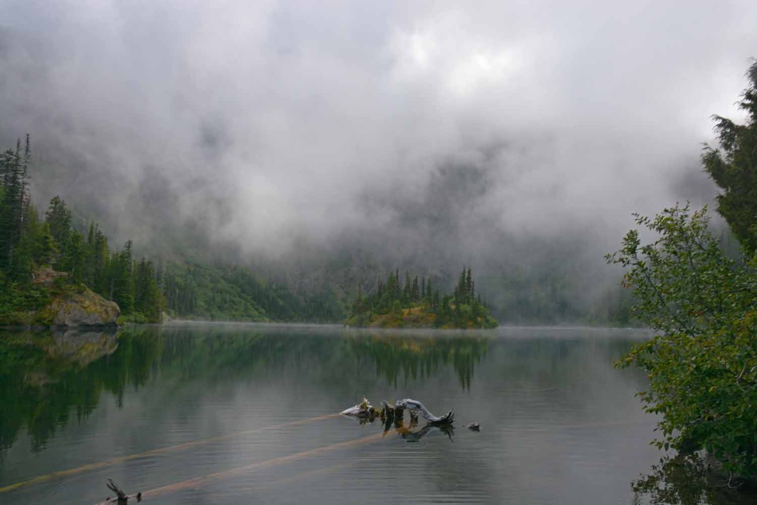
Along the trail there were lots of small water falls all calling for me to take another photo!

Along the trail there were lots of small water falls all calling for me to take another photo!

This is the end of the trail.  We had to wait a long time to even get this shot as the top of the mountain was socked in by fog.  It was a great setting but you will need to take my word for that...The nice thing about the wait was we got to talk with the campers who settled in near by.

This is the end of the trail. We had to wait a long time to even get this shot as the top of the mountain was socked in by fog. It was a great setting but you will need to take my word for that…The nice thing about the wait was we got to talk with the campers who settled in near by.
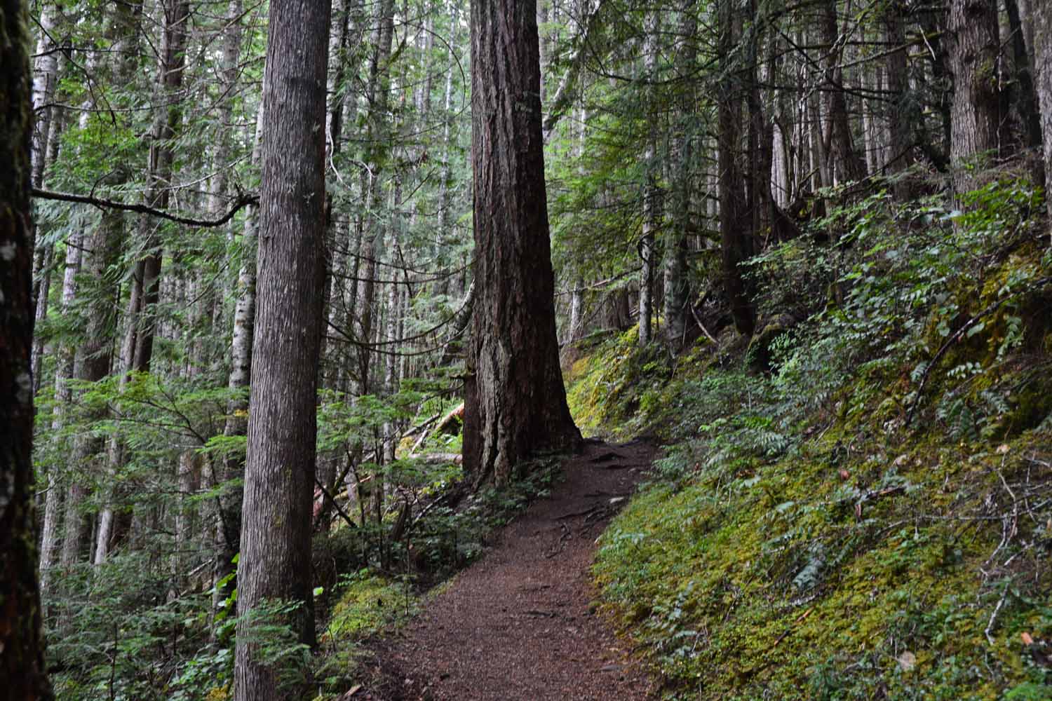
The hike back down was cool and rainy but both of us still enjoyed the experience.  When we got back it was still 60 and sunny at the lower level.

The hike back down was cool and rainy but both of us still enjoyed the experience. When we got back it was still 60 and sunny at the lower level.
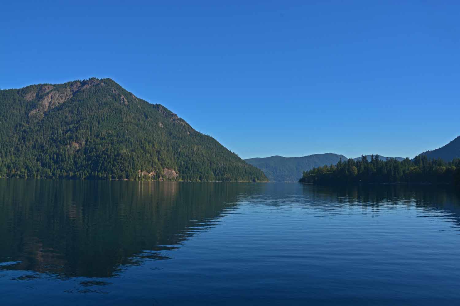
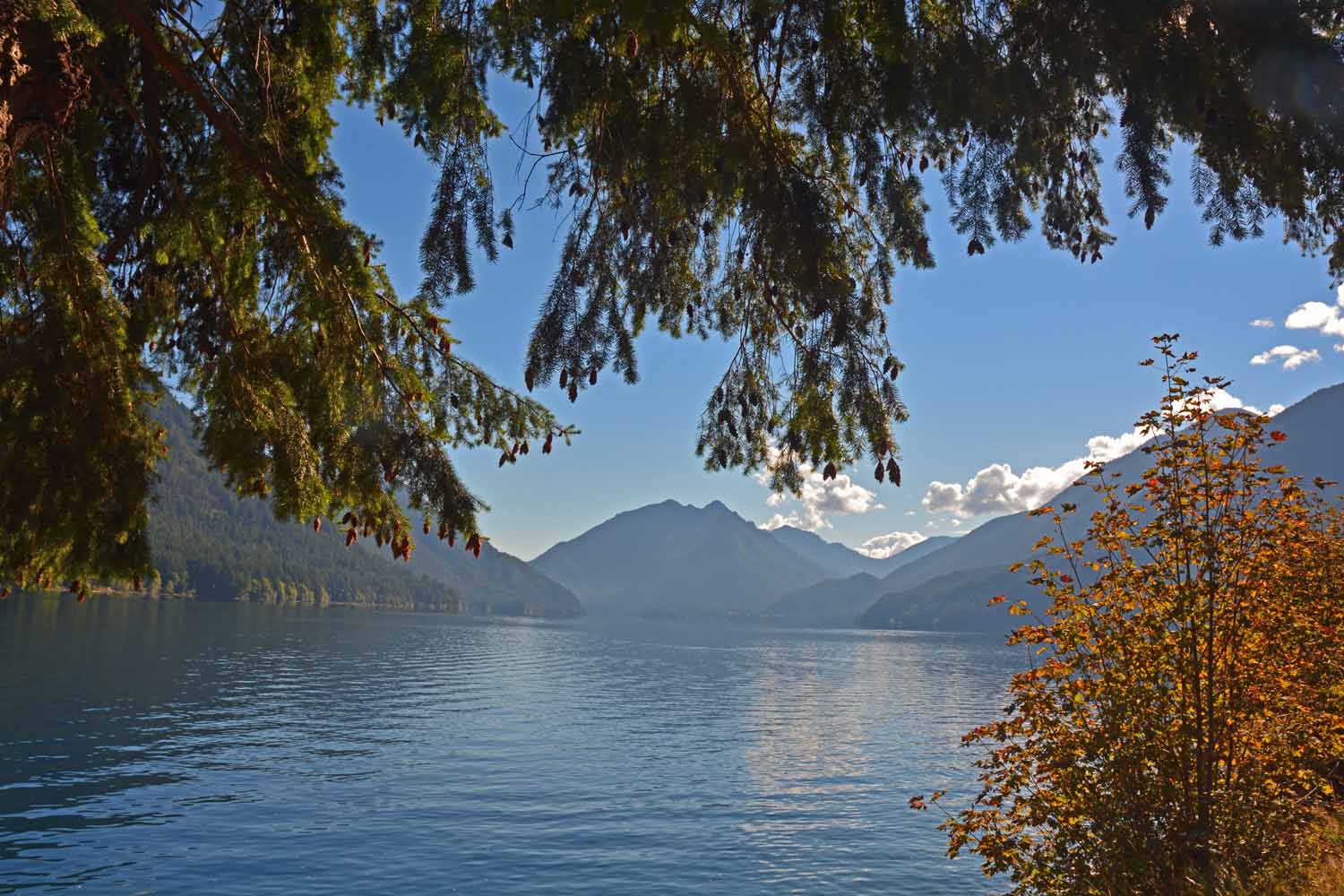
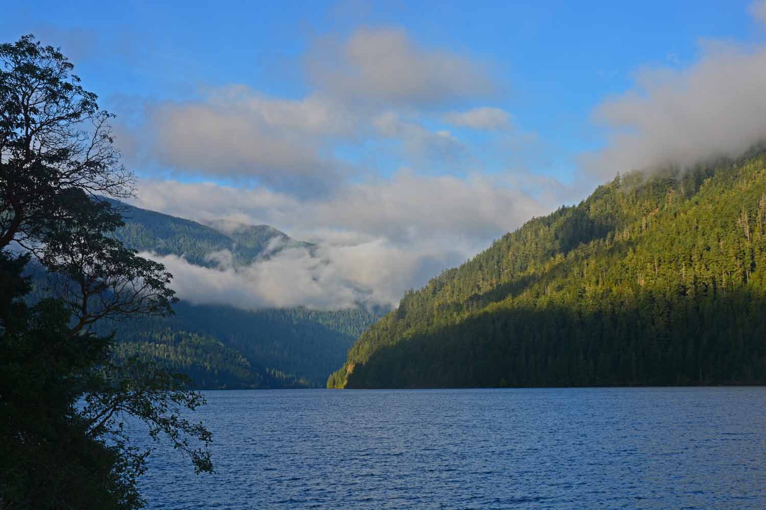
Highway 101 makes it way through the park.  Lake Crescent is a long and large lake along the road.  The setting was breathtaking.

Highway 101 makes it way through the park. Lake Crescent is a long and large lake along the road. The setting was breathtaking.
This is an early morning shot of Lake Crescent on one of several road trips within the park.

This is an early morning shot of Lake Crescent on one of several road trips within the park.

Another picture of Lake Crescent at the end of the day on our way back to base camp.

Another picture of Lake Crescent at the end of the day on our way back to base camp.

Olympic National Park is the setting for a temperate rain forest.  One of the places we visited was Hoh which gets high marks for it beauty.

Olympic National Park is the setting for a temperate rain forest. One of the places we visited was Hoh which gets high marks for it beauty.
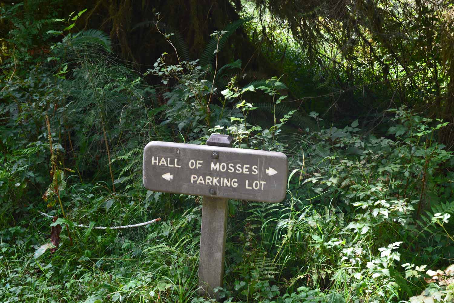
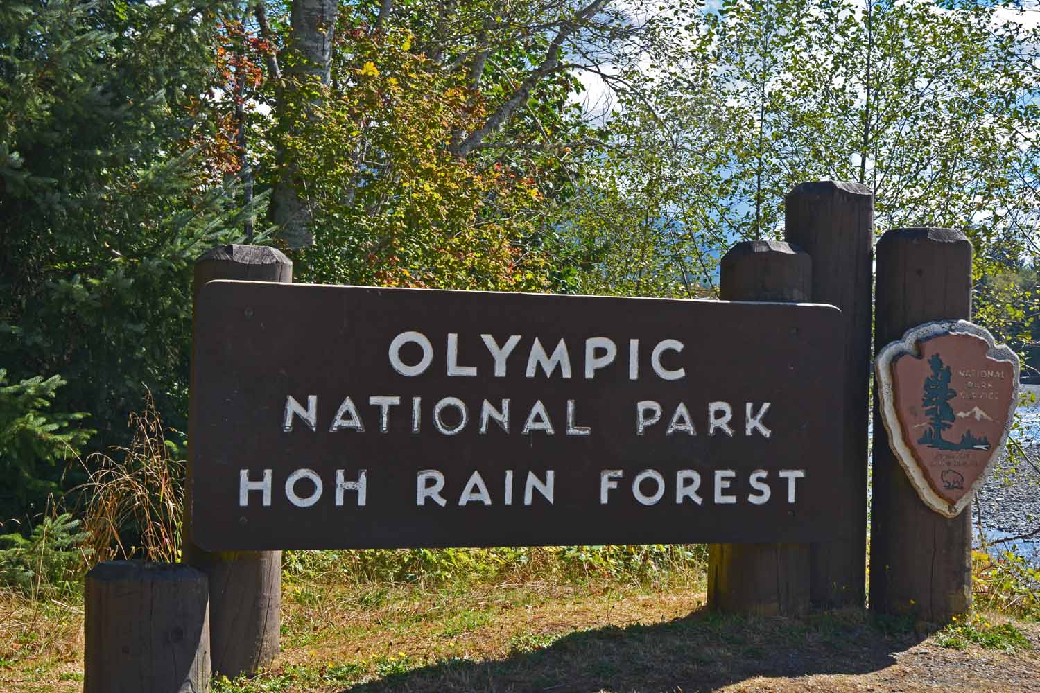
This sign tells one a lot about what to expect on this hike.

This sign tells one a lot about what to expect on this hike.

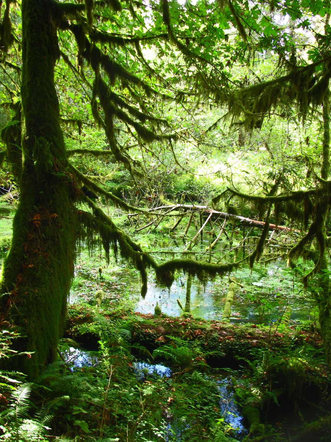
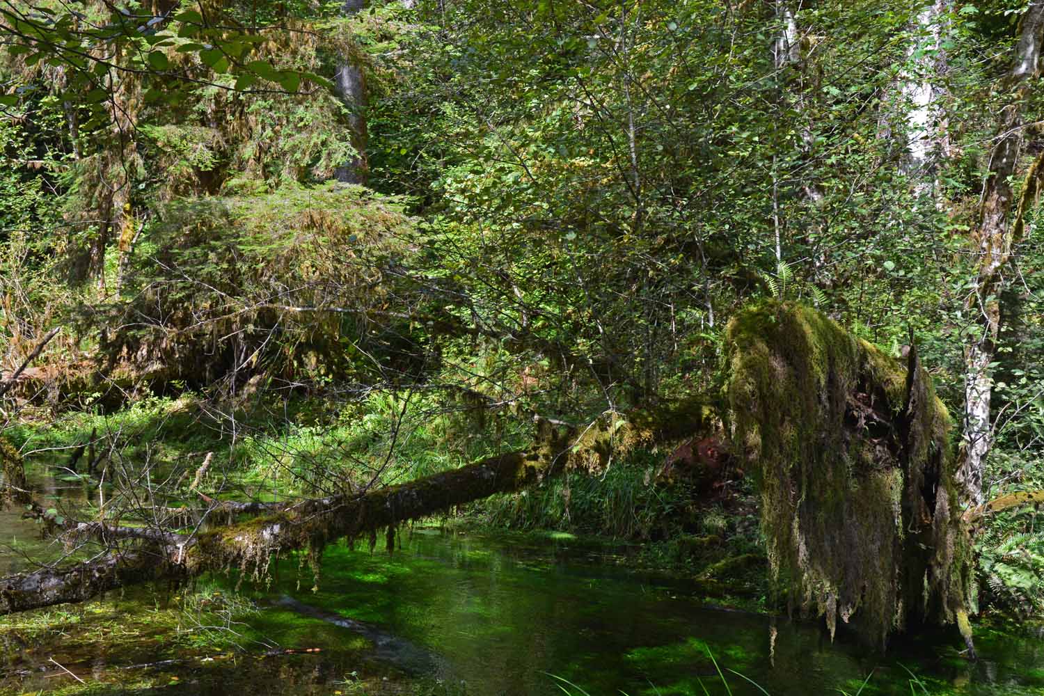
The colors in a rain forest are vivid.  The many scenes were captivating and enjoyed this hike immensely.

The colors in a rain forest are vivid. The many scenes were captivating and enjoyed this hike immensely.

Green is the in color here.  Reminded me of the Lord of the Rings setting.

Green is the in color here. Reminded me of the Lord of the Rings setting.

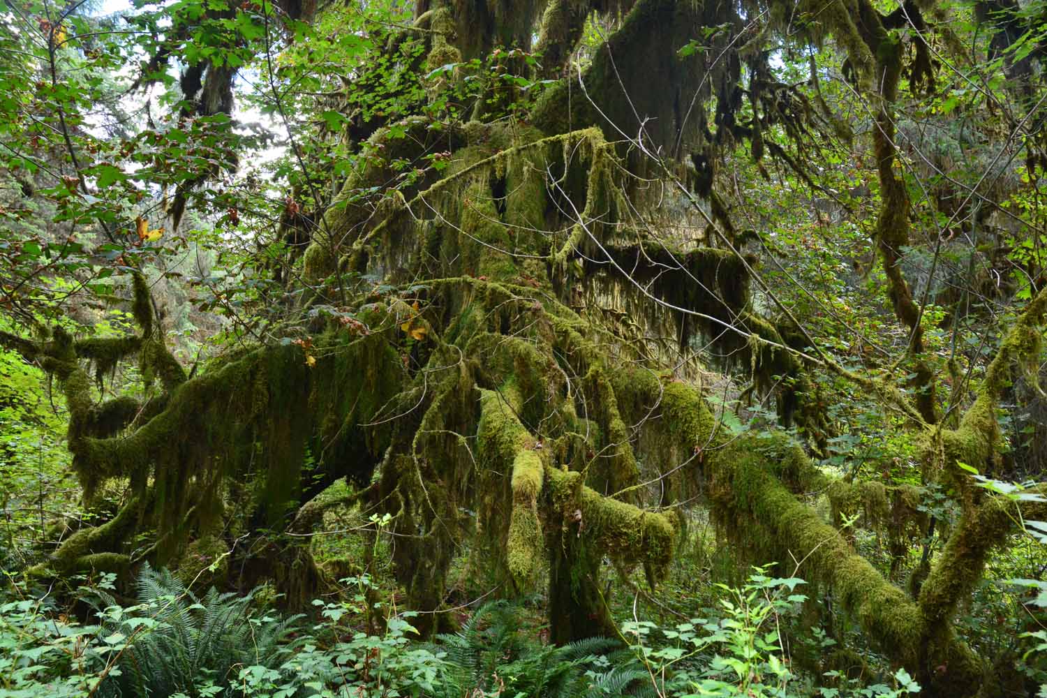
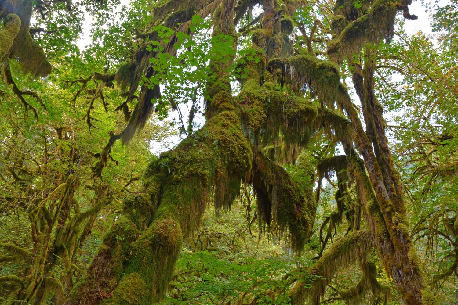
You certainly can use you imagination with all the different looks the moss makes.  This tree certainly tells a story.

You certainly can use you imagination with all the different looks the moss makes. This tree certainly tells a story.
If you ever get the chance it is worth the trip to check out this National Park.

If you ever get the chance it is worth the trip to check out this National Park.

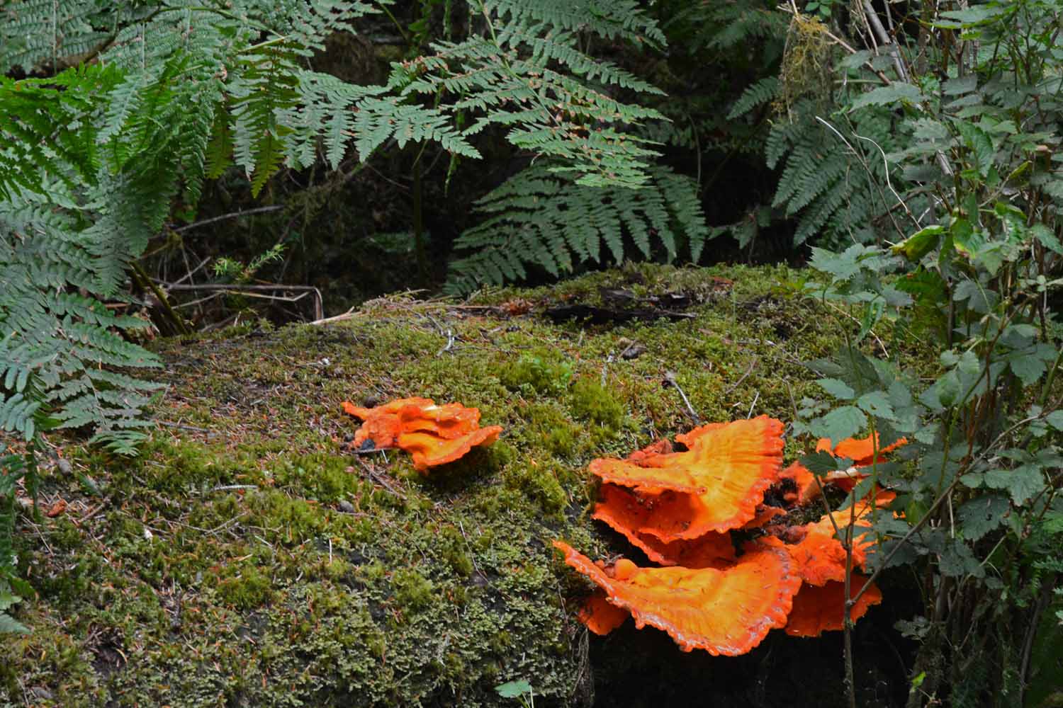
The color of orange stood out against the green background.  Just had to take a close up shot!

The color of orange stood out against the green background. Just had to take a close up shot!

Jan took this shot and was one her favorites.

Jan took this shot and was one her favorites.

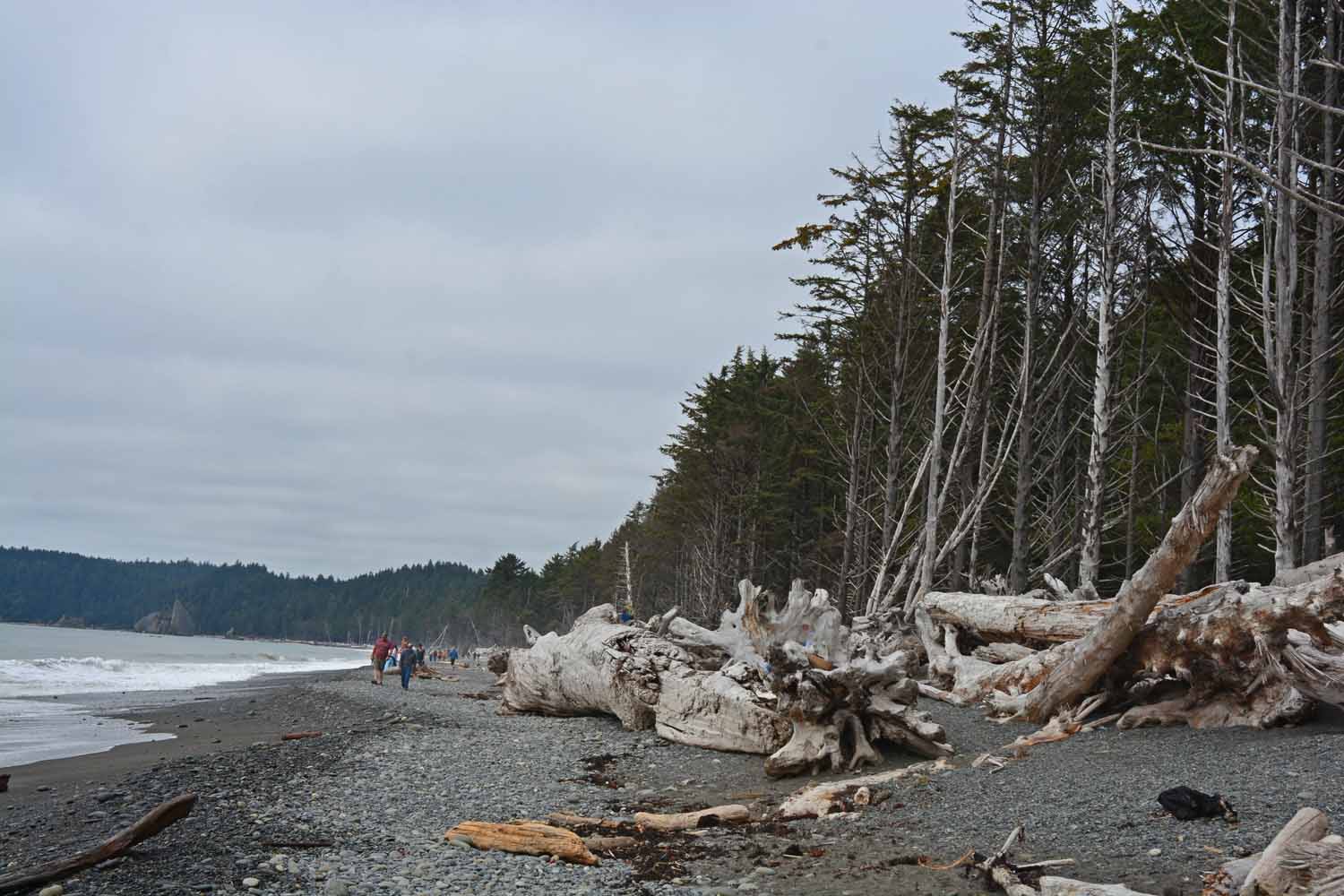
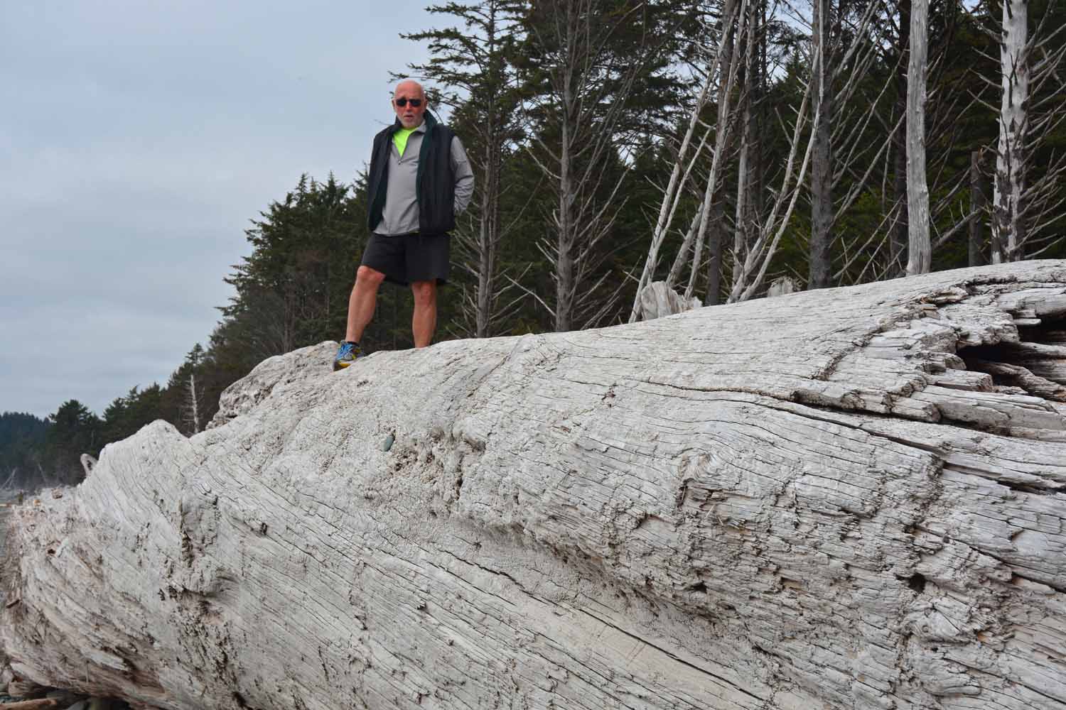
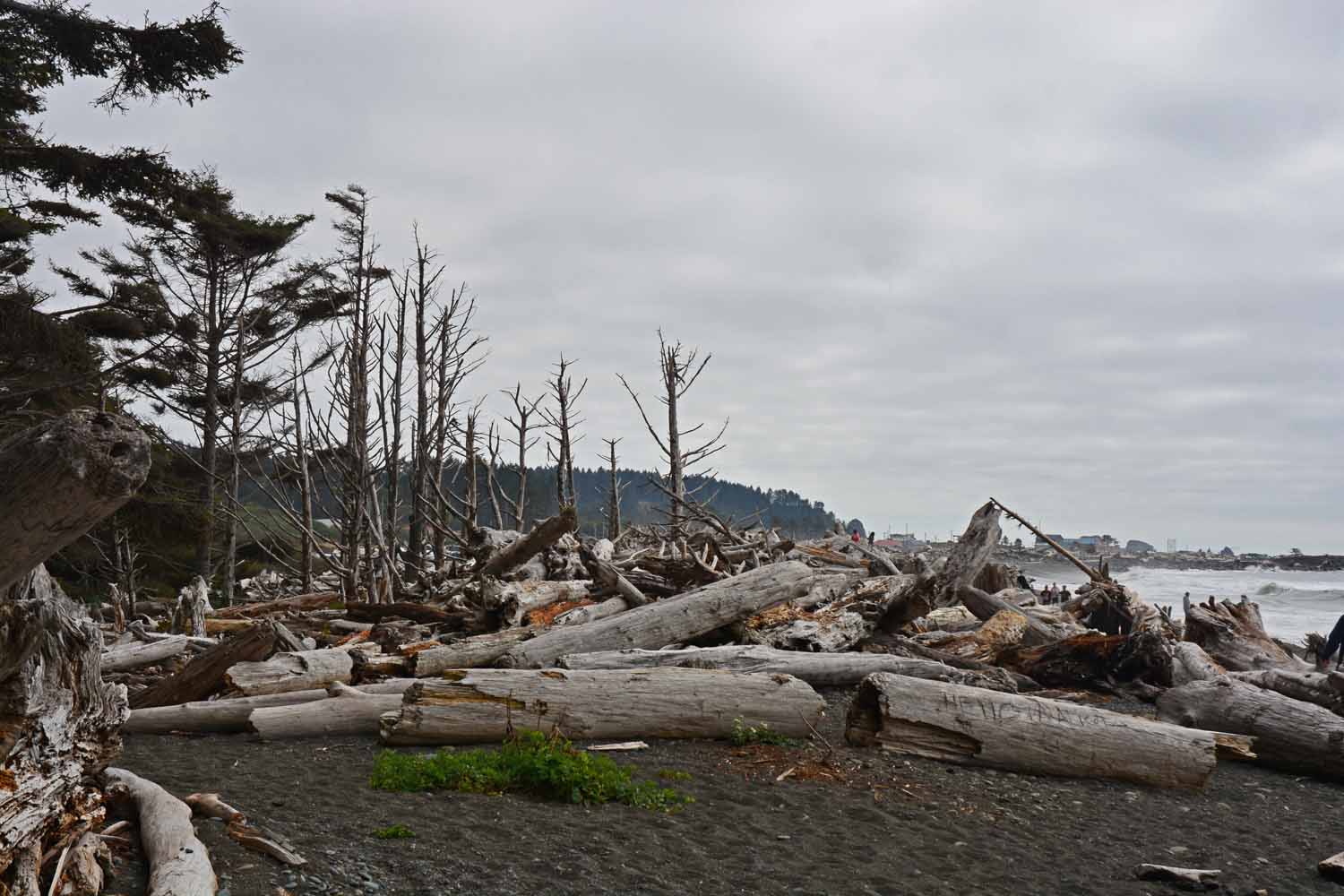
This is Rialto Beach on the ocean.  The setting was certainly unexpected.  The power of the water to bring all these logs ashore is impressive.  We found a great campground here and will certainly stay there next time we visit.

This is Rialto Beach on the ocean. The setting was certainly unexpected. The power of the water to bring all these logs ashore is impressive. We found a great campground here and will certainly stay there next time we visit.
The beach was interesting with lots of Agates.

The beach was interesting with lots of Agates.

This is Larry getting on top of things.

This is Larry getting on top of things.

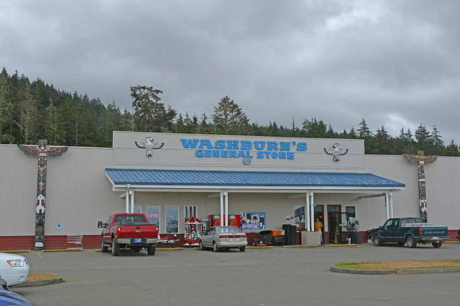
A trip out to Cape Flattery was recommended.  The area has share oversight with the Makah Indians.  You had to buy a permit at the general store to tour the area.  The culture here is very protective of the area.

A trip out to Cape Flattery was recommended. The area has share oversight with the Makah Indians. You had to buy a permit at the general store to tour the area. The culture here is very protective of the area.
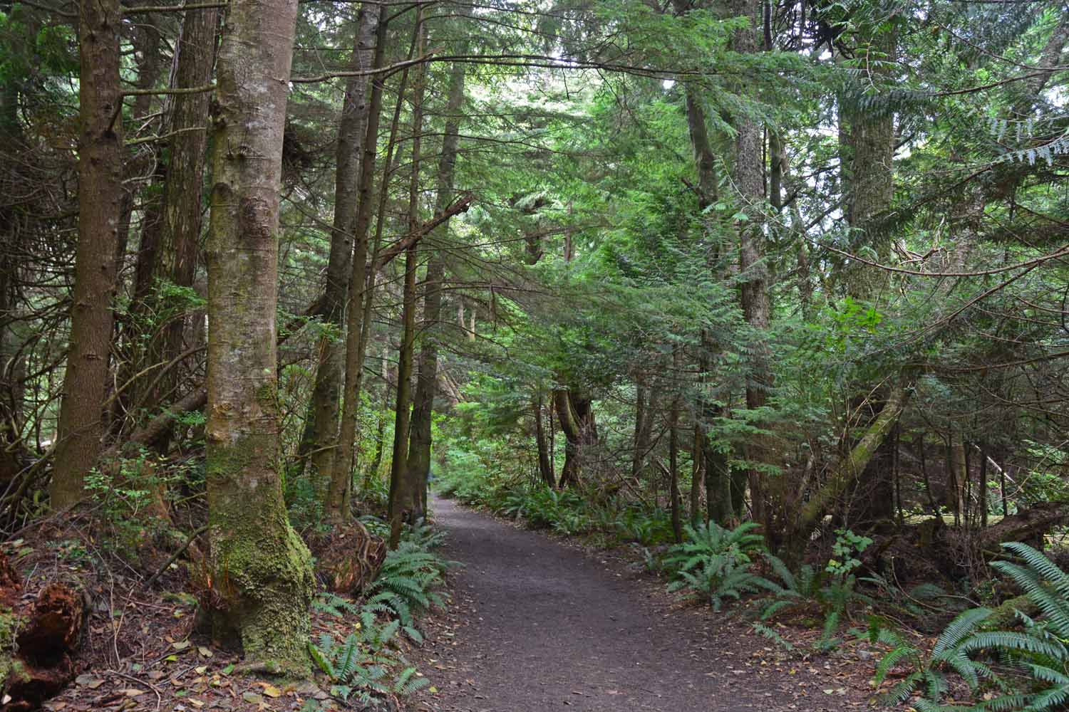
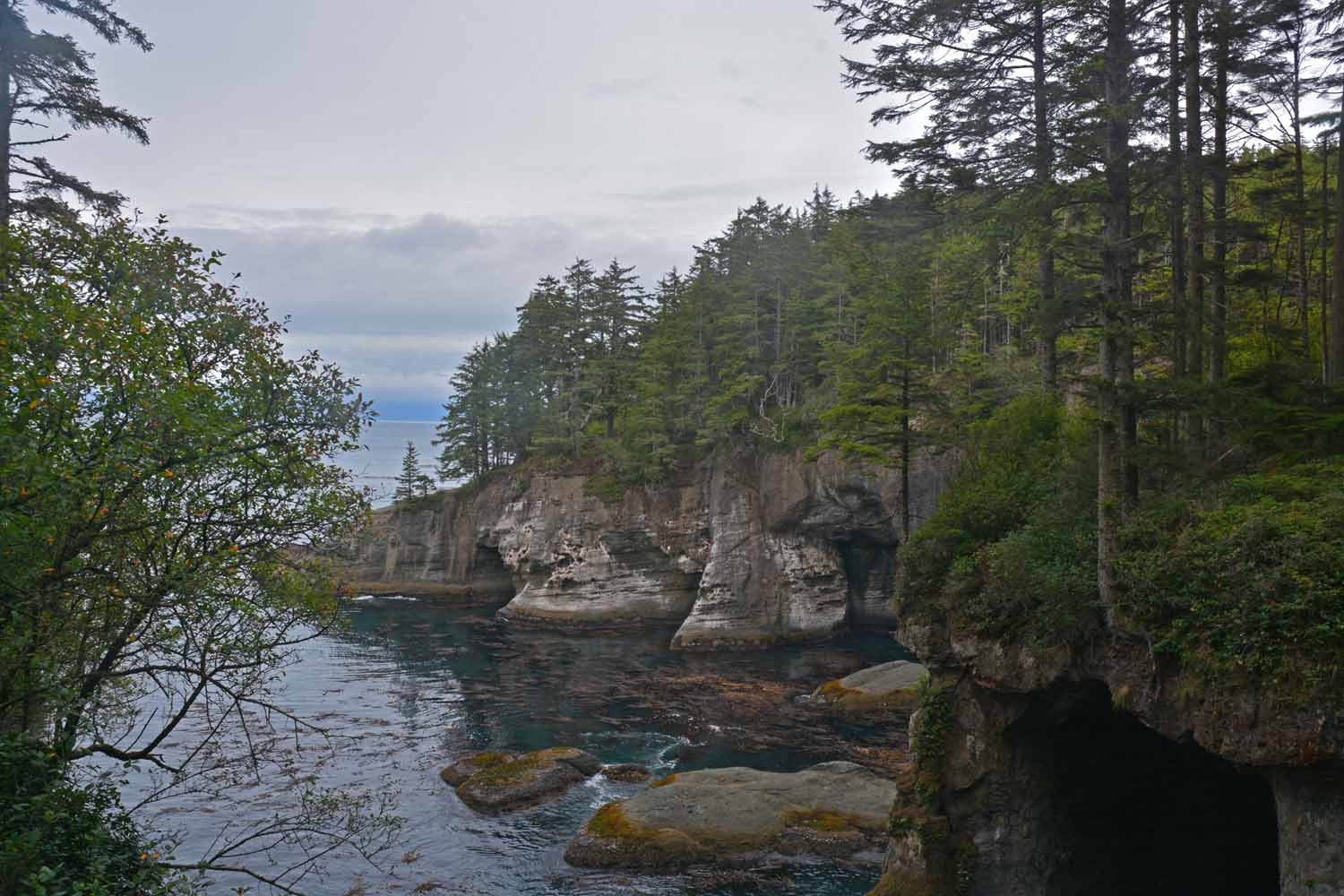
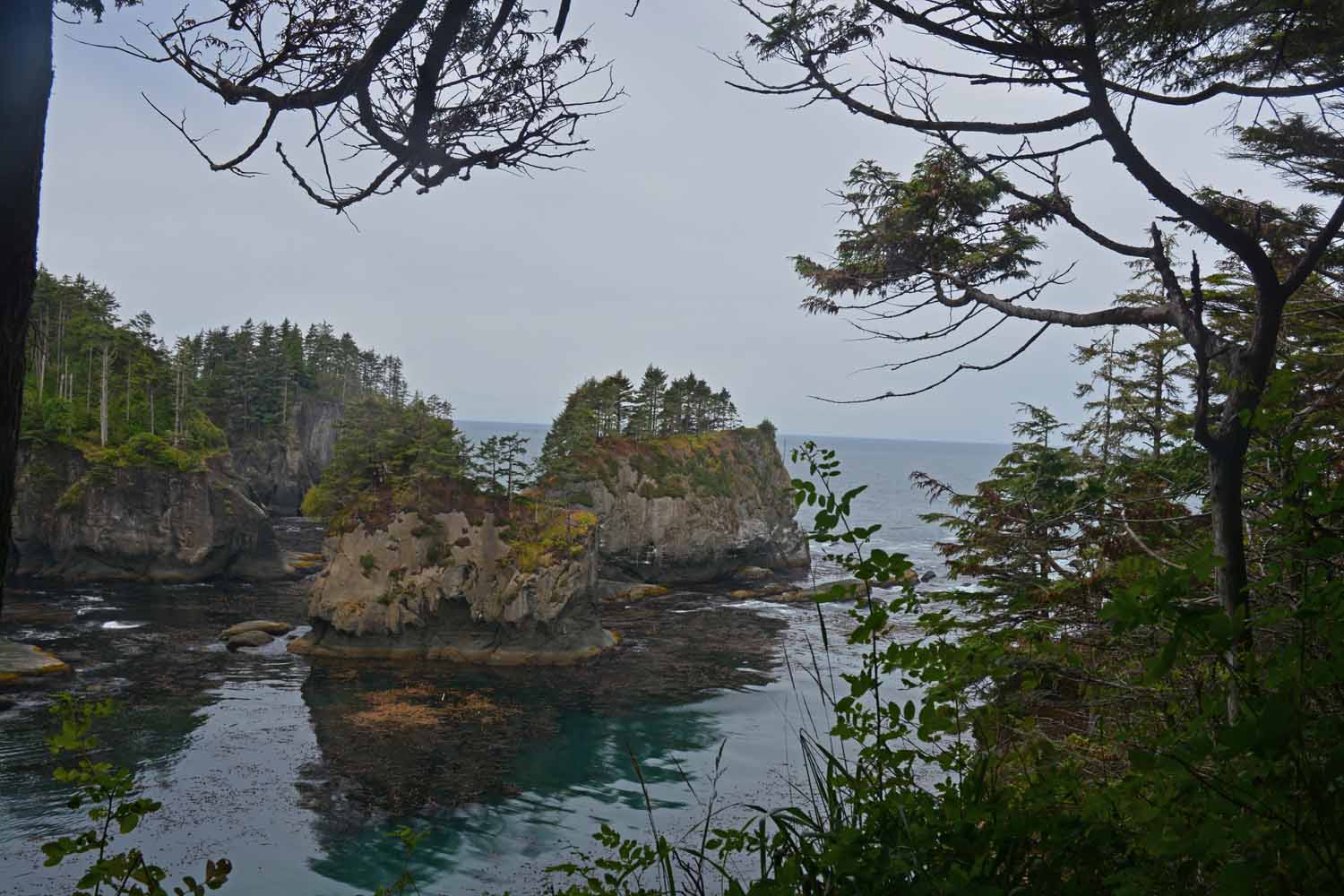
Cape Flattery is also a rain forest but not so dense.  The trail out to the point was extremely interesting with a fairly easy walk.

Cape Flattery is also a rain forest but not so dense. The trail out to the point was extremely interesting with a fairly easy walk.
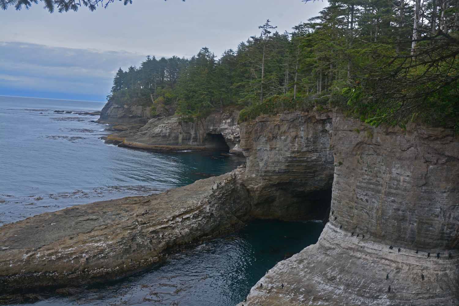
This is Cape Flattery looking north.

This is Cape Flattery looking north.

This is Cape Flattery looking south.

This is Cape Flattery looking south.

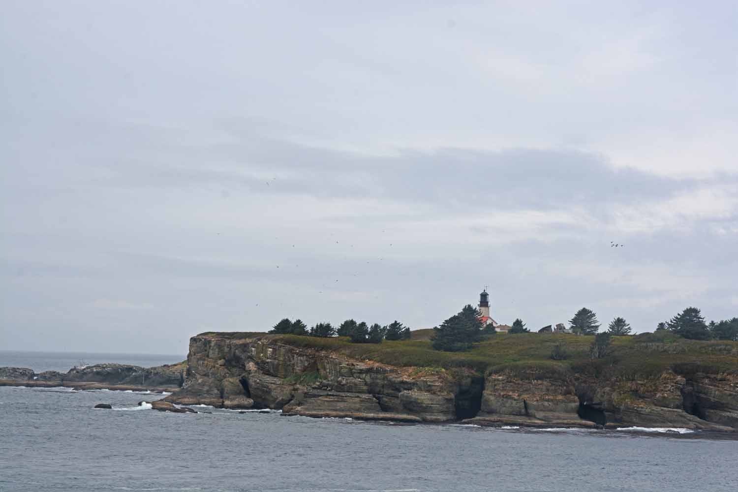
Of course there would be a lighthouse...

Of course there would be a lighthouse…

There are big caves here.  The care taker told us Yachts even enter them.

There are big caves here. The care taker told us Yachts even enter them.

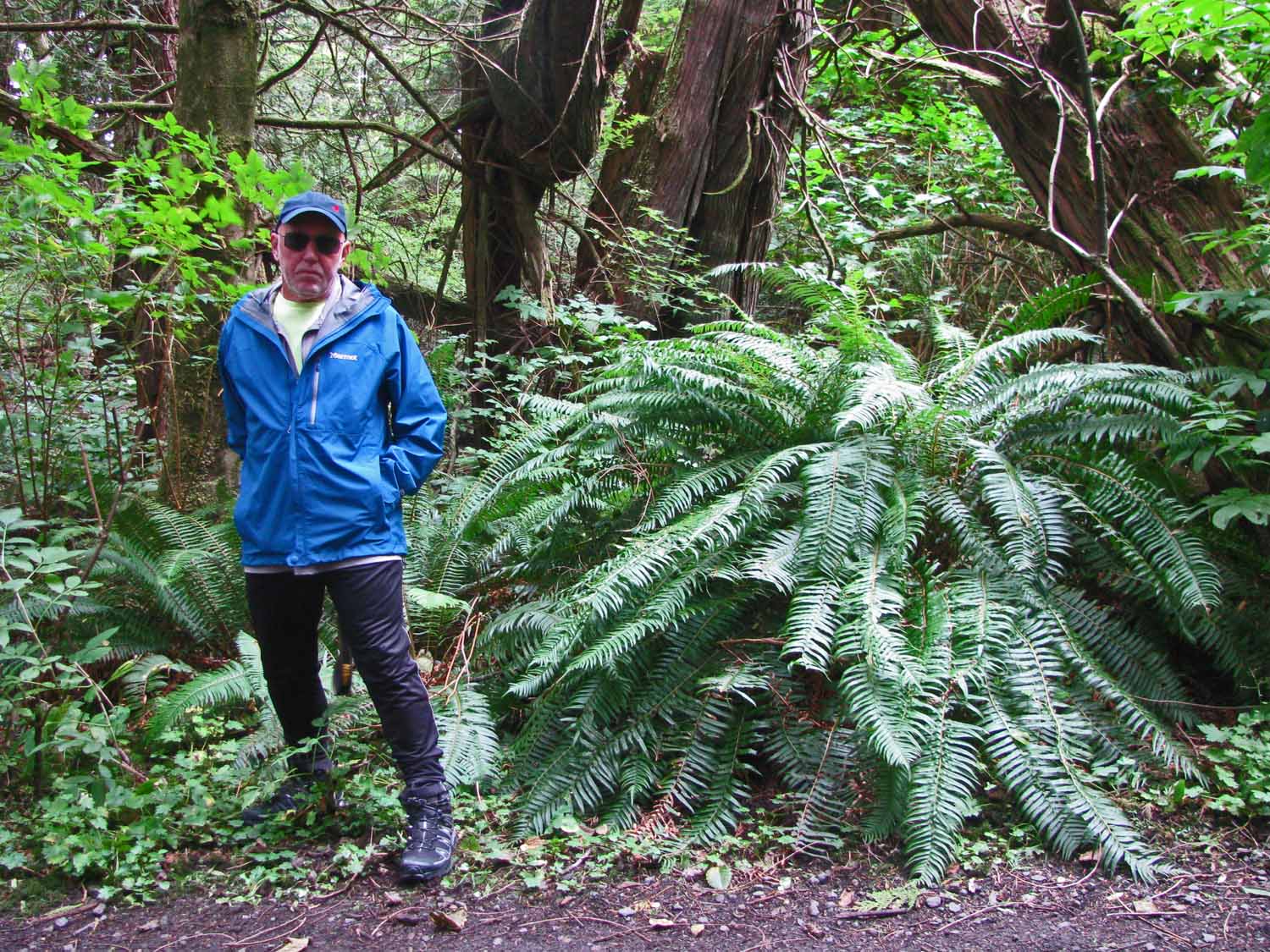
The trip out to the Cape was rainy and cold as you can see by the way Larry is dressed!  Gore Tex worked well here.

The trip out to the Cape was rainy and cold as you can see by the way Larry is dressed! Gore Tex worked well here.

Leaving Olympic we headed south down the Washington and Oregon coast on Highway 101. The end of the story, this is a great experience. There were two nights in campground along the coast. The sights and views were outstanding. The road has lots of curves and is not a fast drive with the RV in tow.
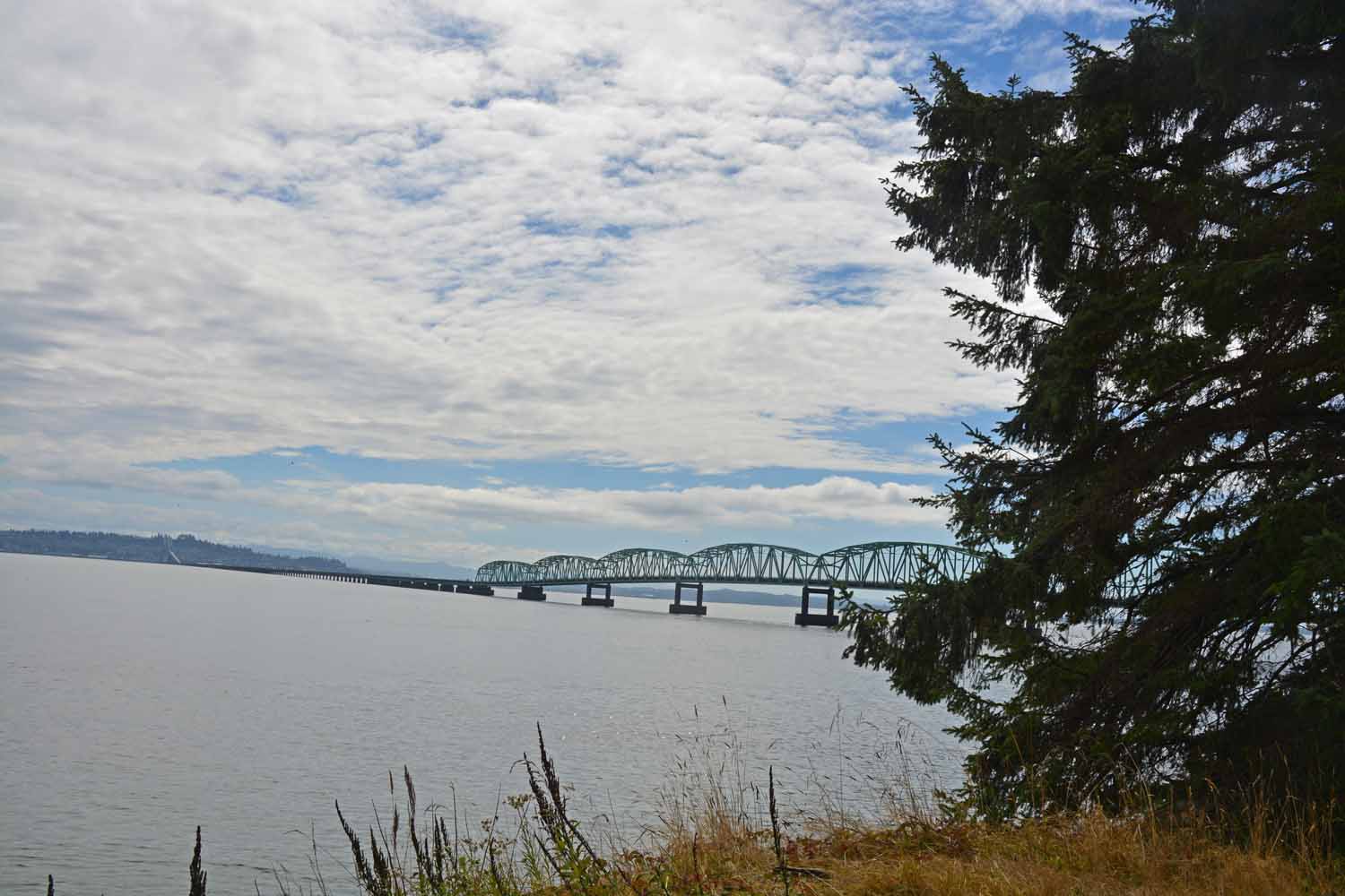
Crossing the Columbia River again as we leave Washington heading down the Oregon Coast.

Crossing the Columbia River again as we leave Washington heading down the Oregon Coast.

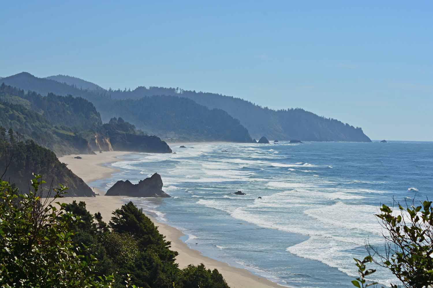
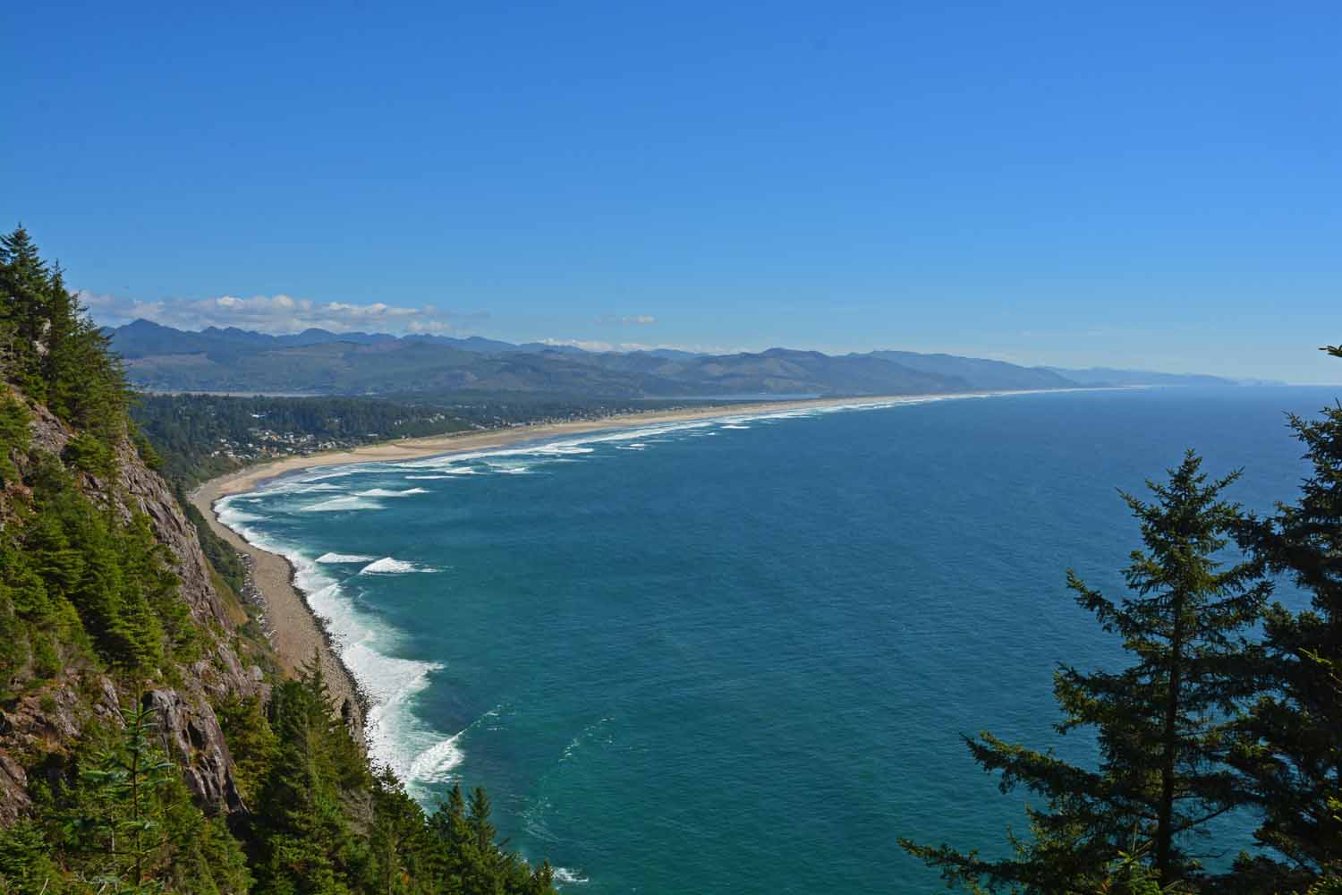
The Oregon coast is gorgeous.  The drive on 101 heading south was a rewarding experience.

The Oregon coast is gorgeous. The drive on 101 heading south was a rewarding experience.

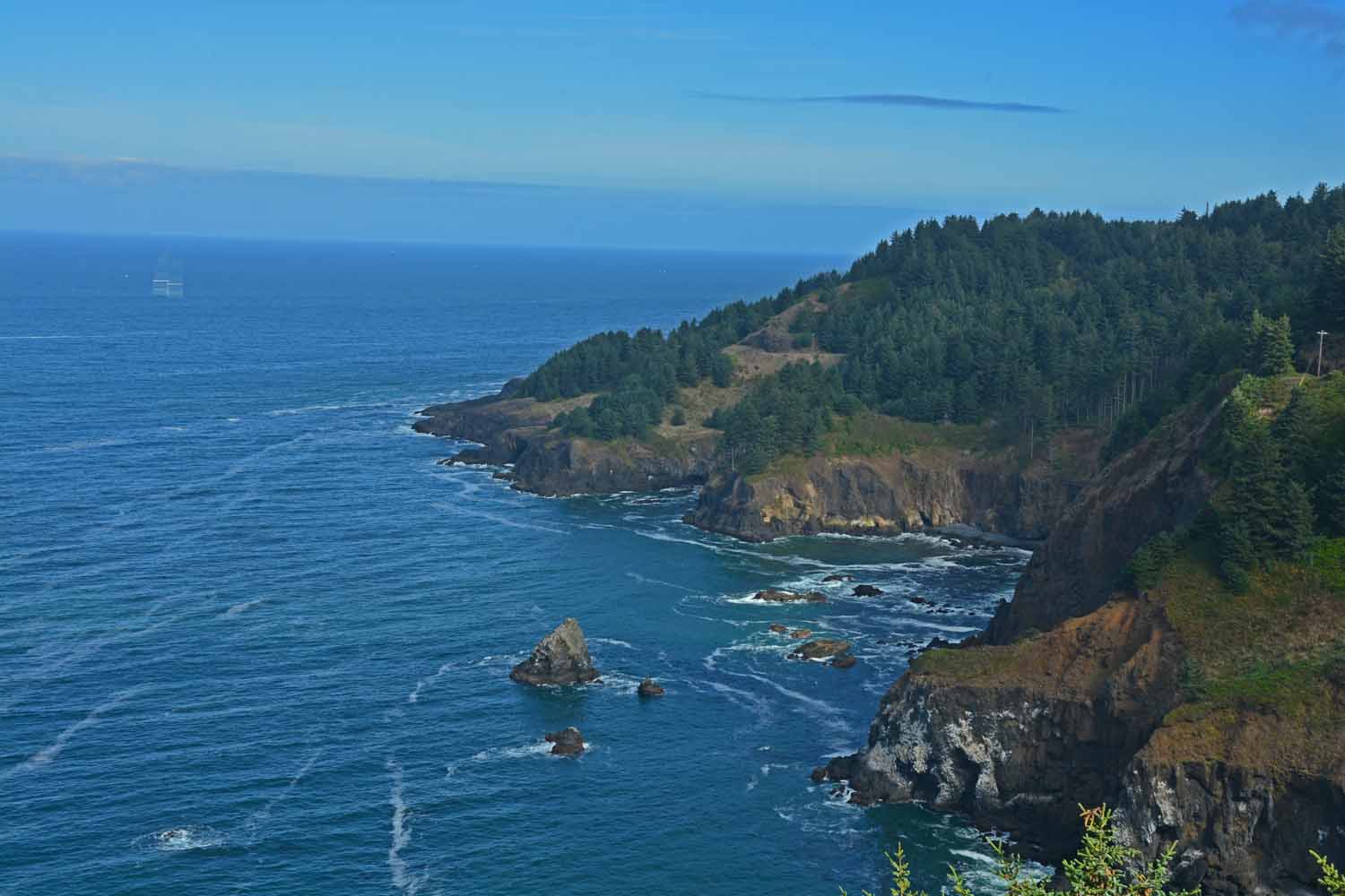
Oregon State Park system provides many well done turn outs and camping opportunities.  This shot has taken from a strategically placed view point.

Oregon State Park system provides many well done turn outs and camping opportunities. This shot has taken from a strategically placed view point.
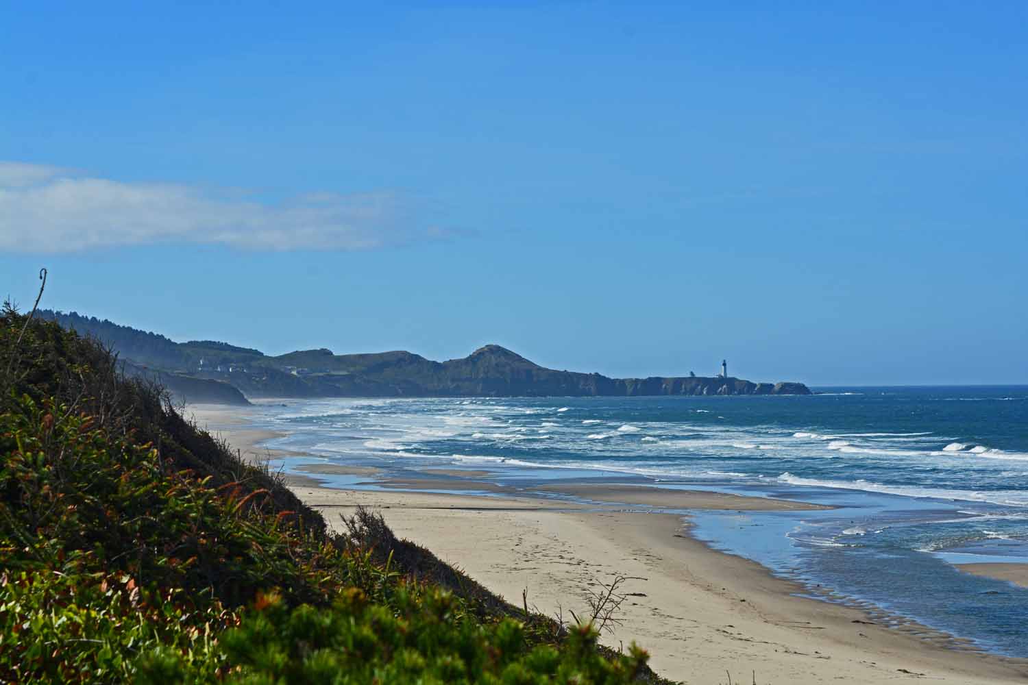
The coastline views are ever changing from sand to rock.

The coastline views are ever changing from sand to rock.

Not sure how many lighthouse photos I did as we travelled through Washington and Oregon on 101.  There was another one at every turn in the road.

Not sure how many lighthouse photos I did as we travelled through Washington and Oregon on 101. There was another one at every turn in the road.
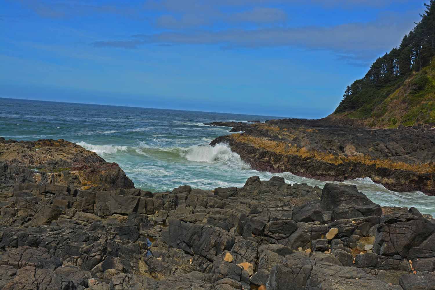
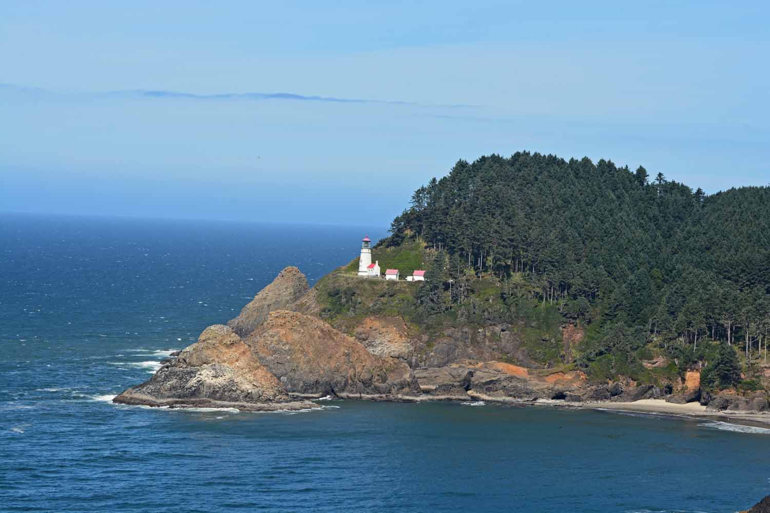
This lighthouse was posing for us as we went by.

This lighthouse was posing for us as we went by.

This place was called thunder rock...I am sure it was named from the noise all the waves make when they crash ashore.

This place was called thunder rock…I am sure it was named from the noise all the waves make when they crash ashore.

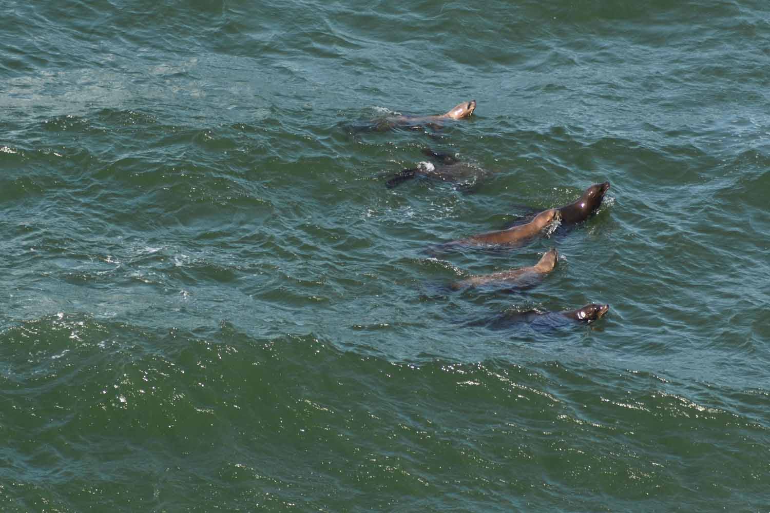
The water was filled with sea lions at this stop.  We also saw a whale water spout in the distance.

The water was filled with sea lions at this stop. We also saw a whale water spout in the distance.

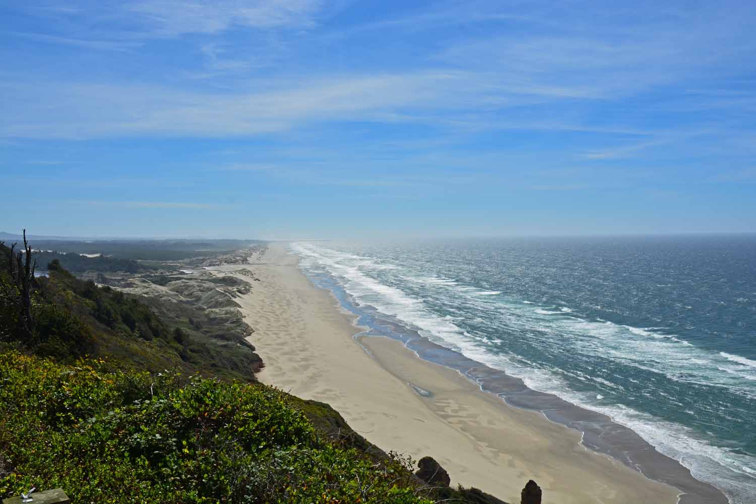
The shore line seemed to go on forever.

The shore line seemed to go on forever.

Crater Lake National Park blew us away. The weather was great, the lake is gorgeous and it is easy to get around. Crater Lake is created from a volcano that blew. The mountain here was 12,000 ft. before the eruption. There is a park drive that circles the lake. It is a great drive and expect it will be even better once they get done with their major reconstruction. Here we did several nice side trips as well plus a few hikes. One big one but I can tell you we were not alone on that trail. We decided this is a place we could come back to in the future.
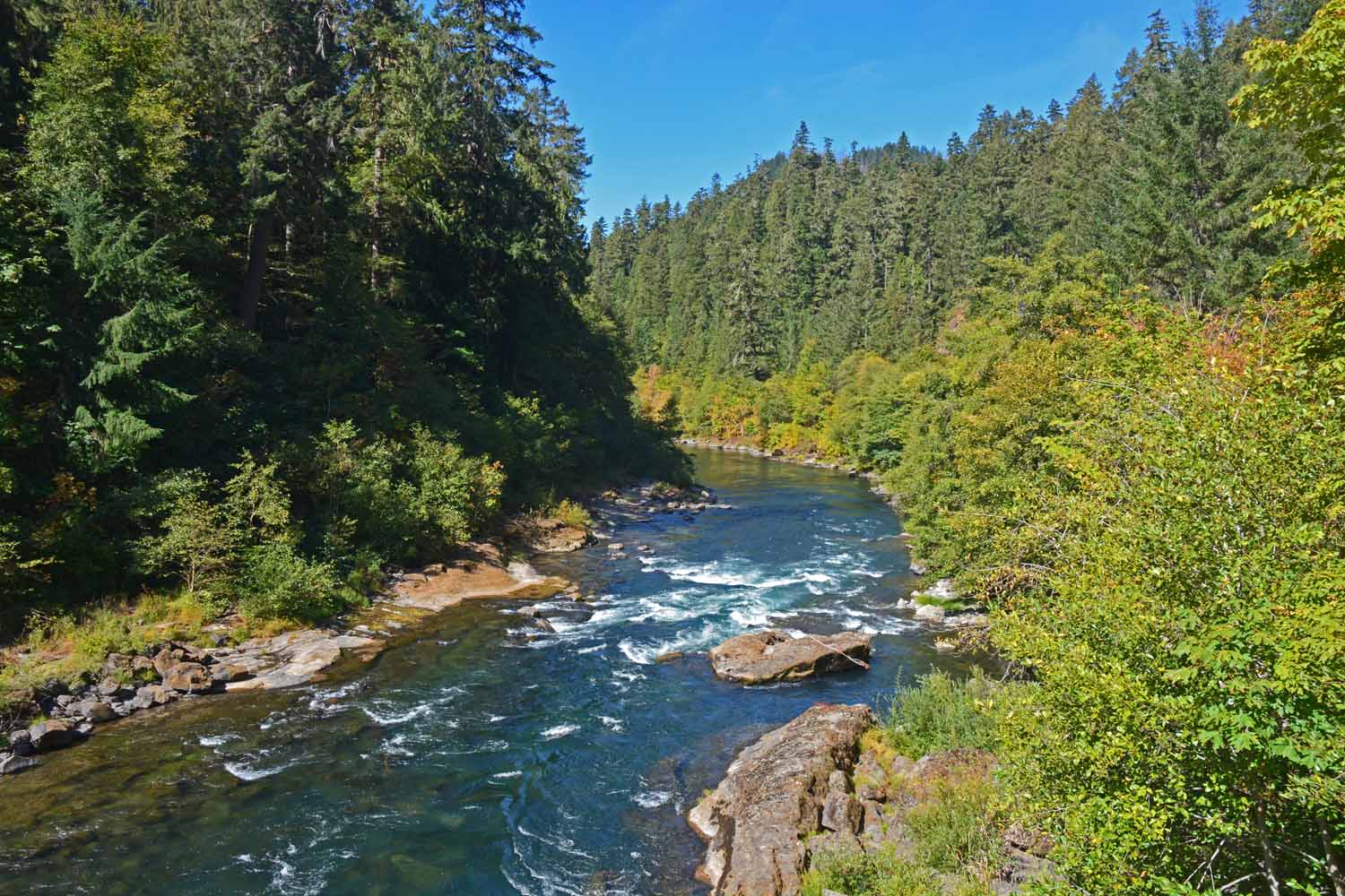
There is a road around Crater Lake maintained by the National Park system.  There were rivers along the road to catch your eye and demand a stop to look.

There is a road around Crater Lake maintained by the National Park system. There were rivers along the road to catch your eye and demand a stop to look.
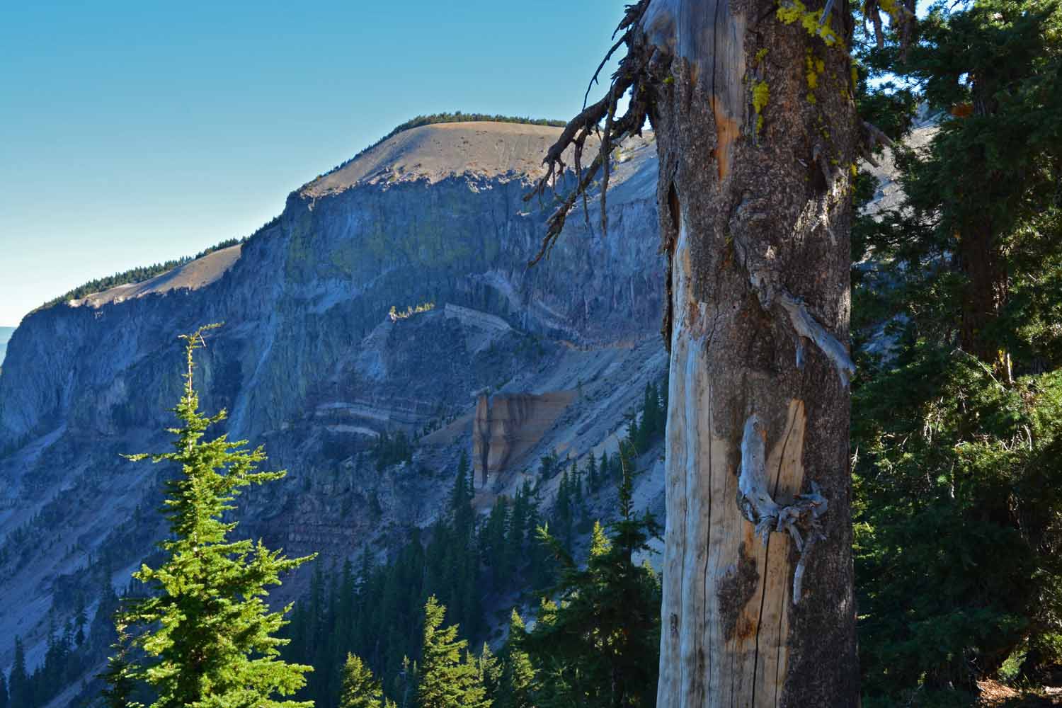
This is a shot of a rock(s) called Pumice Castle.  It is a volcanic vent that came out after the softer rock eroded away.  It is a very interesting formation on the side of the mountain.

This is a shot of a rock(s) called Pumice Castle. It is a volcanic vent that came out after the softer rock eroded away. It is a very interesting formation on the side of the mountain.
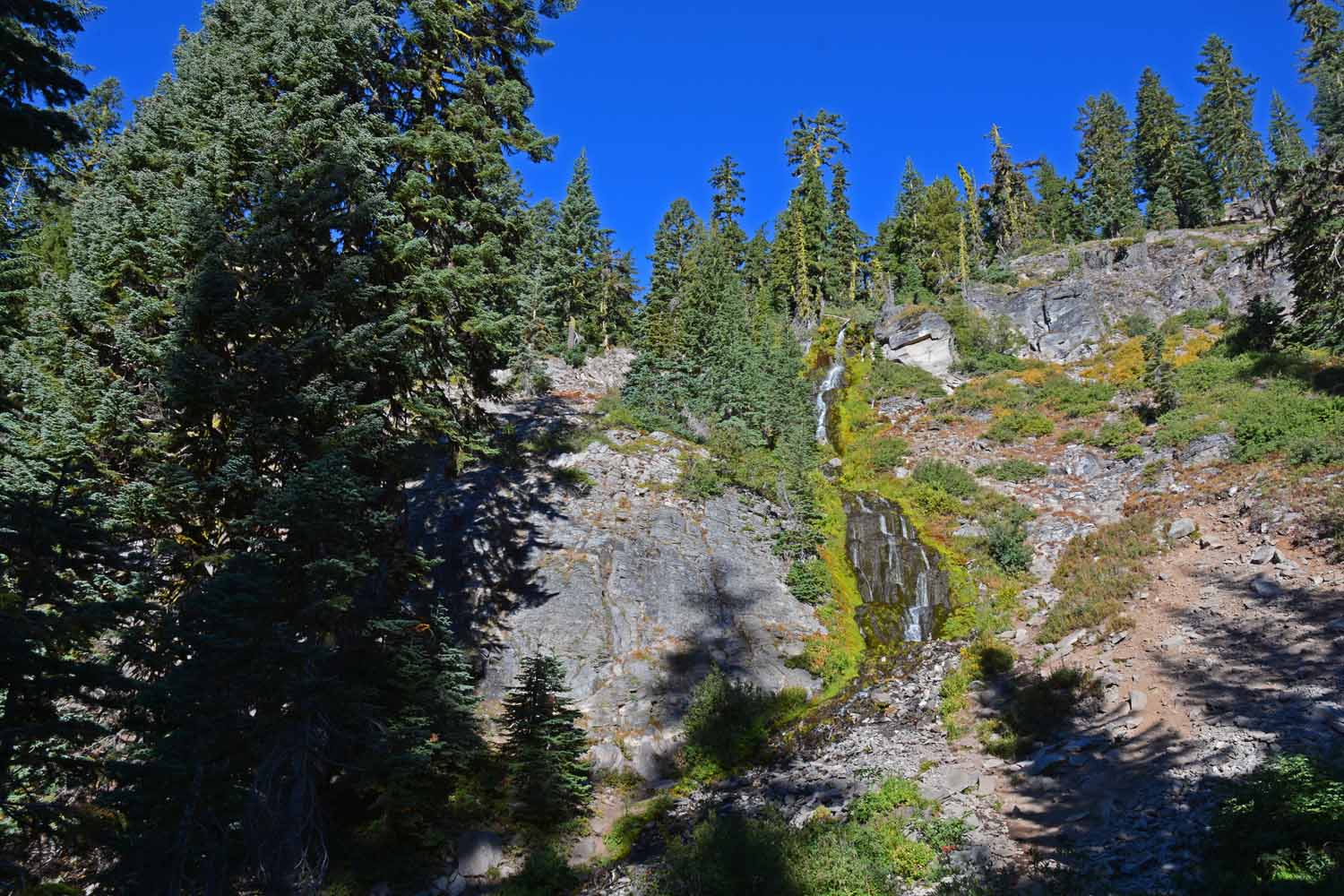
There were some waterfall to be found on the drive.  Many had slowed to a trickle as the summer moves on...  Here is a shot of the Videa Falls just a short hike from the road.

There were some waterfall to be found on the drive. Many had slowed to a trickle as the summer moves on… Here is a shot of the Videa Falls just a short hike from the road.
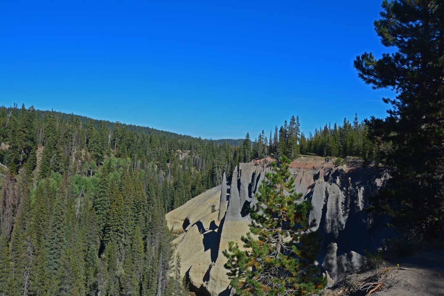
These formations are called the Pinnacles.  Again these are historic volcanic vents that have shown up after erosion has worn way the softer rock.  To get there you take a long side trip down a very narrow road.

These formations are called the Pinnacles. Again these are historic volcanic vents that have shown up after erosion has worn way the softer rock. To get there you take a long side trip down a very narrow road.
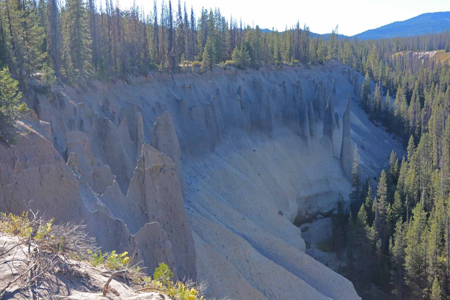
Turn around and there are more Pinnacles in the other direction.  The viewing trail is less than a mile long one way.

Turn around and there are more Pinnacles in the other direction. The viewing trail is less than a mile long one way.
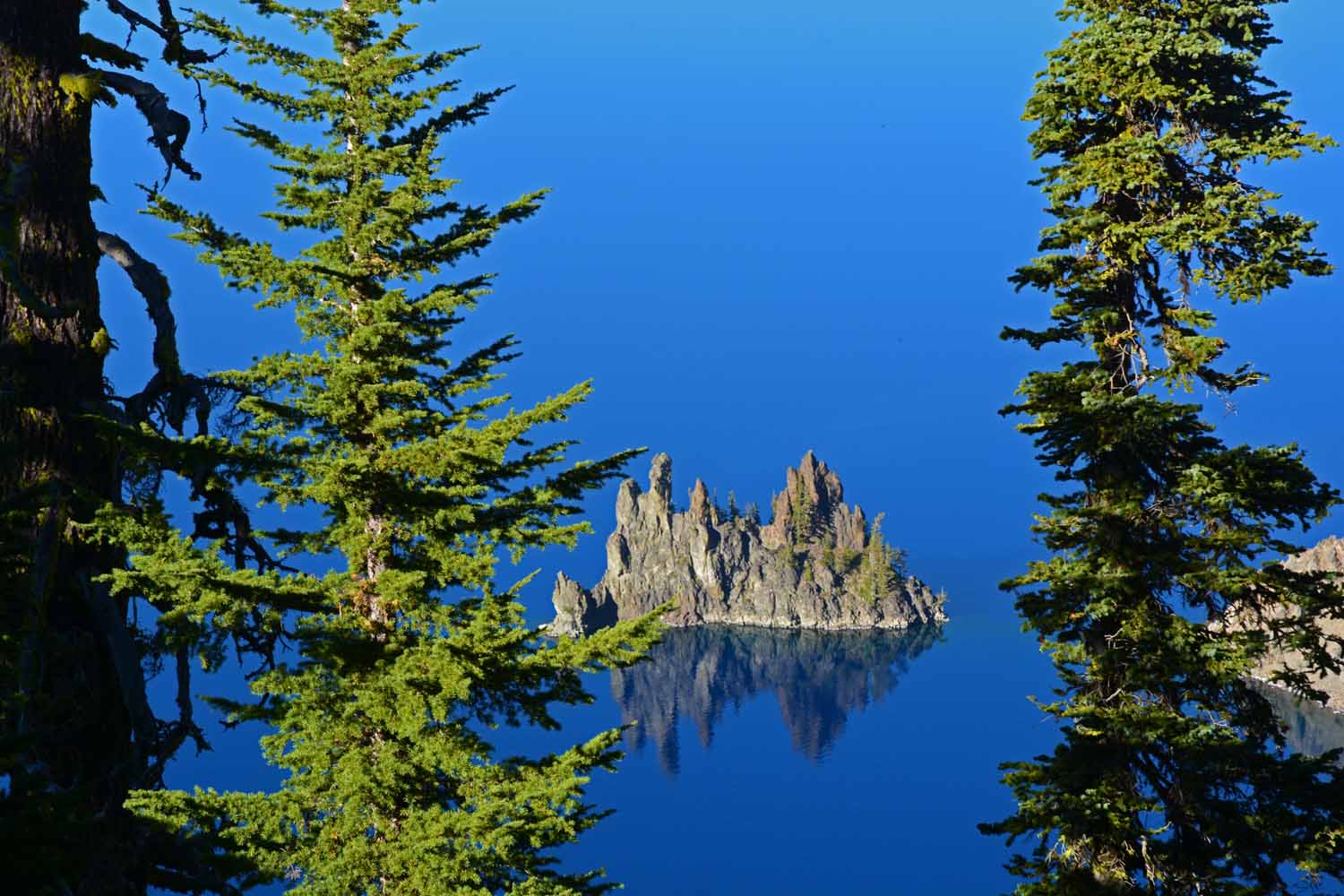
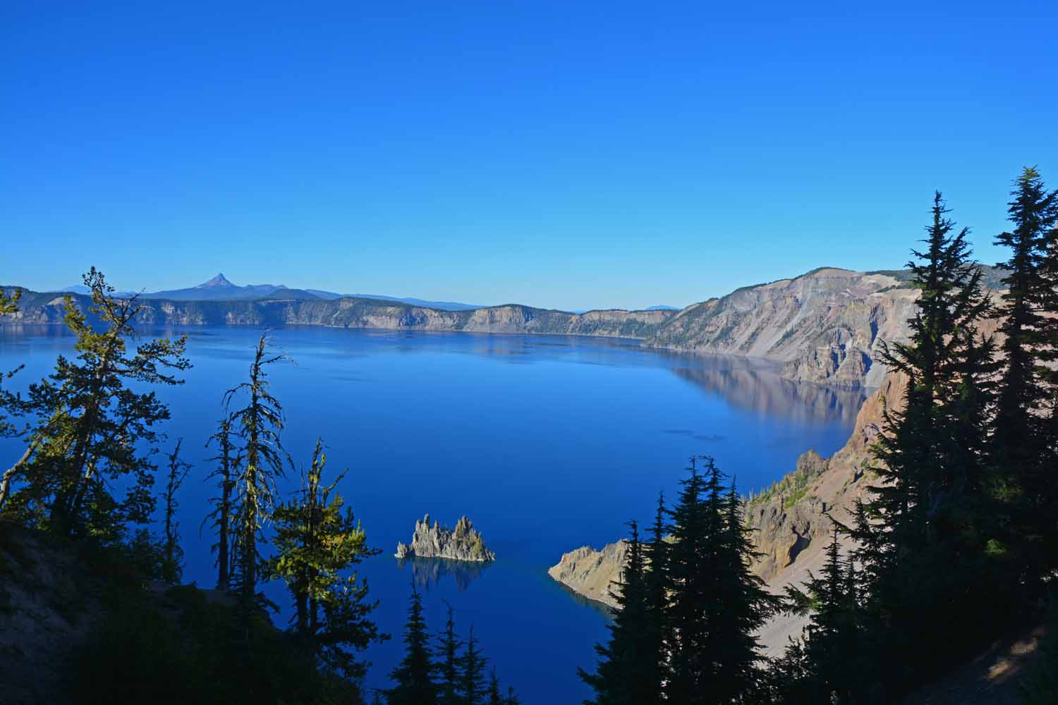
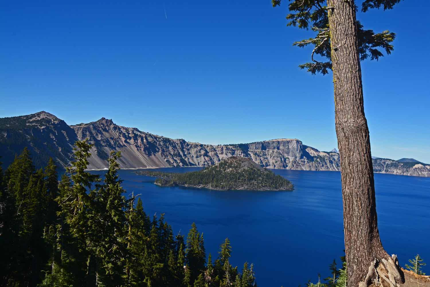
This rock formation in Crater Lake is called the Phantom Ship.  Would you believe it is over 12 stories tall above the water.  It too was created by a volcanic eruption.

This rock formation in Crater Lake is called the Phantom Ship. Would you believe it is over 12 stories tall above the water. It too was created by a volcanic eruption.
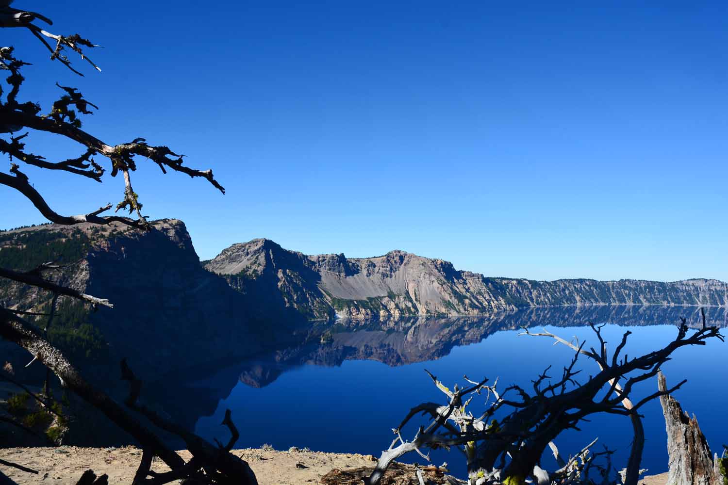
A long view of the Phantom Ship.  The blue water makes taking colorful pictures easy.

A long view of the Phantom Ship. The blue water makes taking colorful pictures easy.

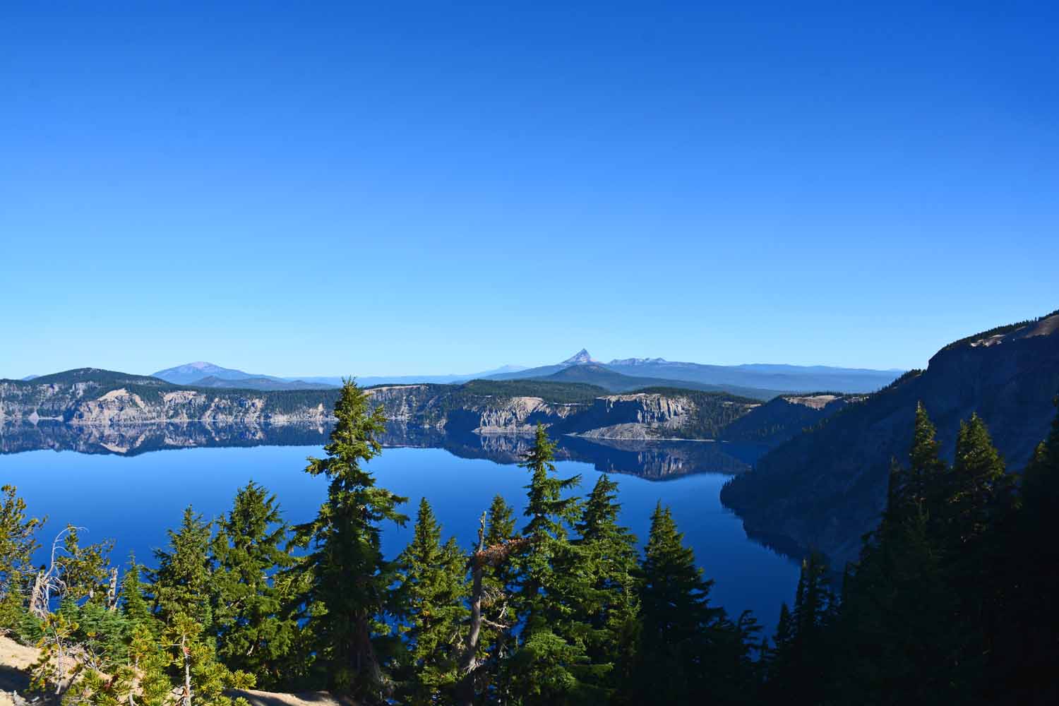
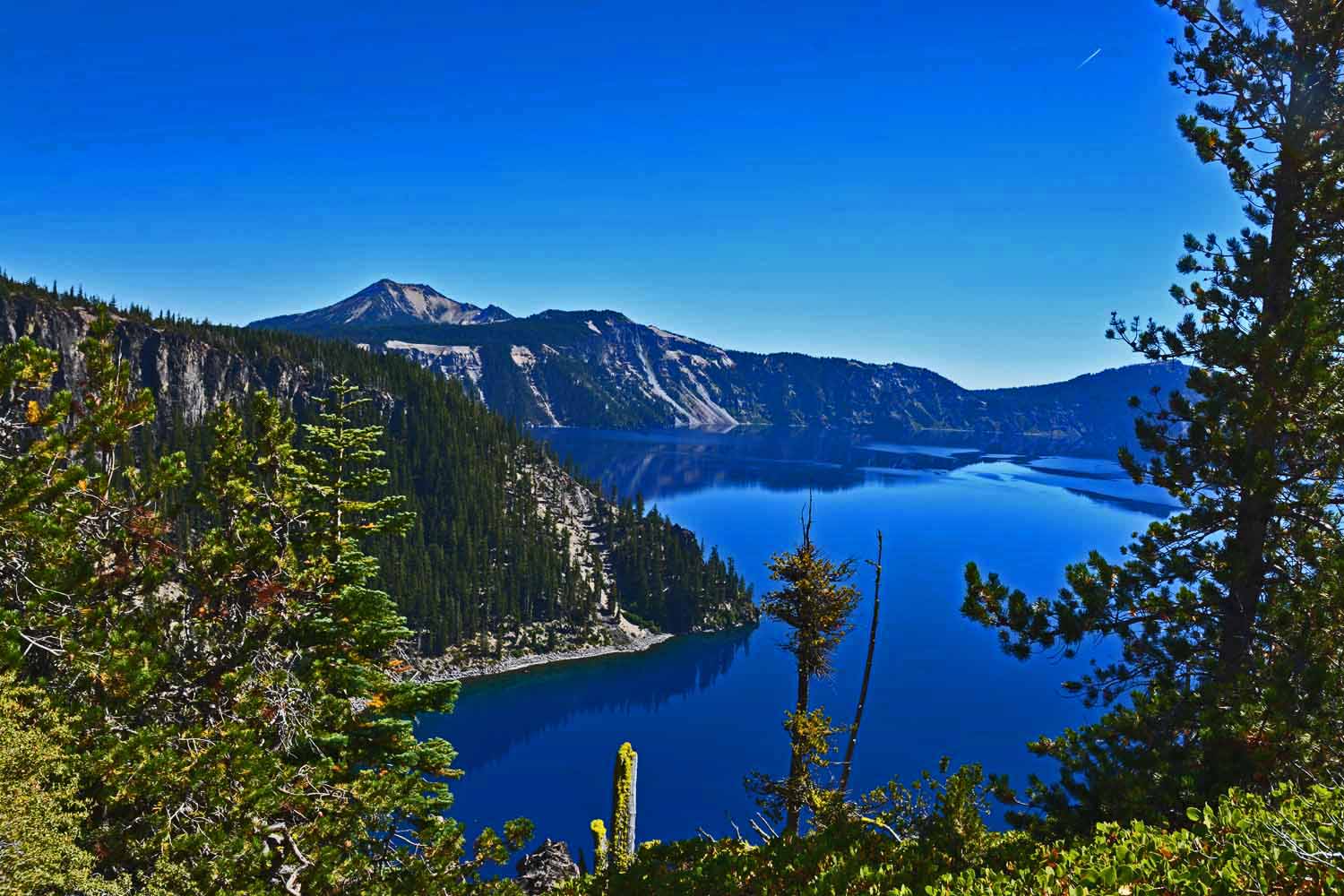
Crater Lake gets its blue color from the clear water.  There is little erosion running into the lake.  The two days we were there it was sunny and very little wind.

Crater Lake gets its blue color from the clear water. There is little erosion running into the lake. The two days we were there it was sunny and very little wind.
As you drive around the lake there are plenty of opportunities to stop and look.

As you drive around the lake there are plenty of opportunities to stop and look.

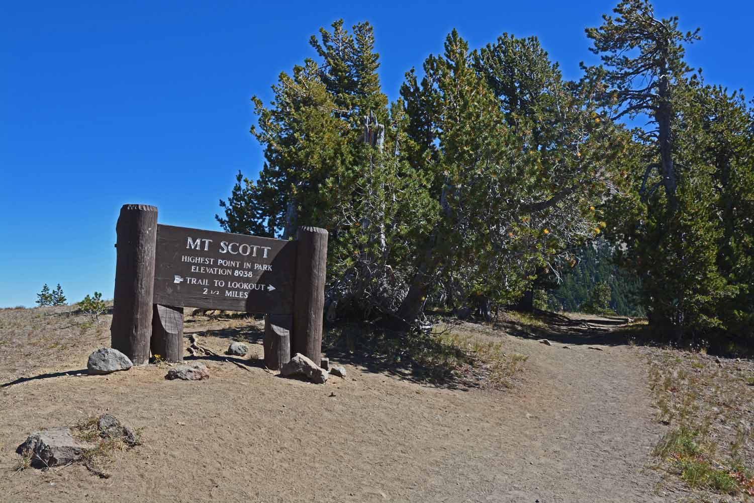
Mt Scott is the highest peak in the Crater Lake National Park.  This trail climbs over 1,200 ft. in 2.5 miles.  The views are worth the climb...at least that is what Jan and I thought.

Mt Scott is the highest peak in the Crater Lake National Park. This trail climbs over 1,200 ft. in 2.5 miles. The views are worth the climb…at least that is what Jan and I thought.
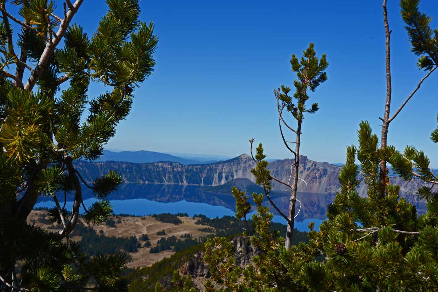
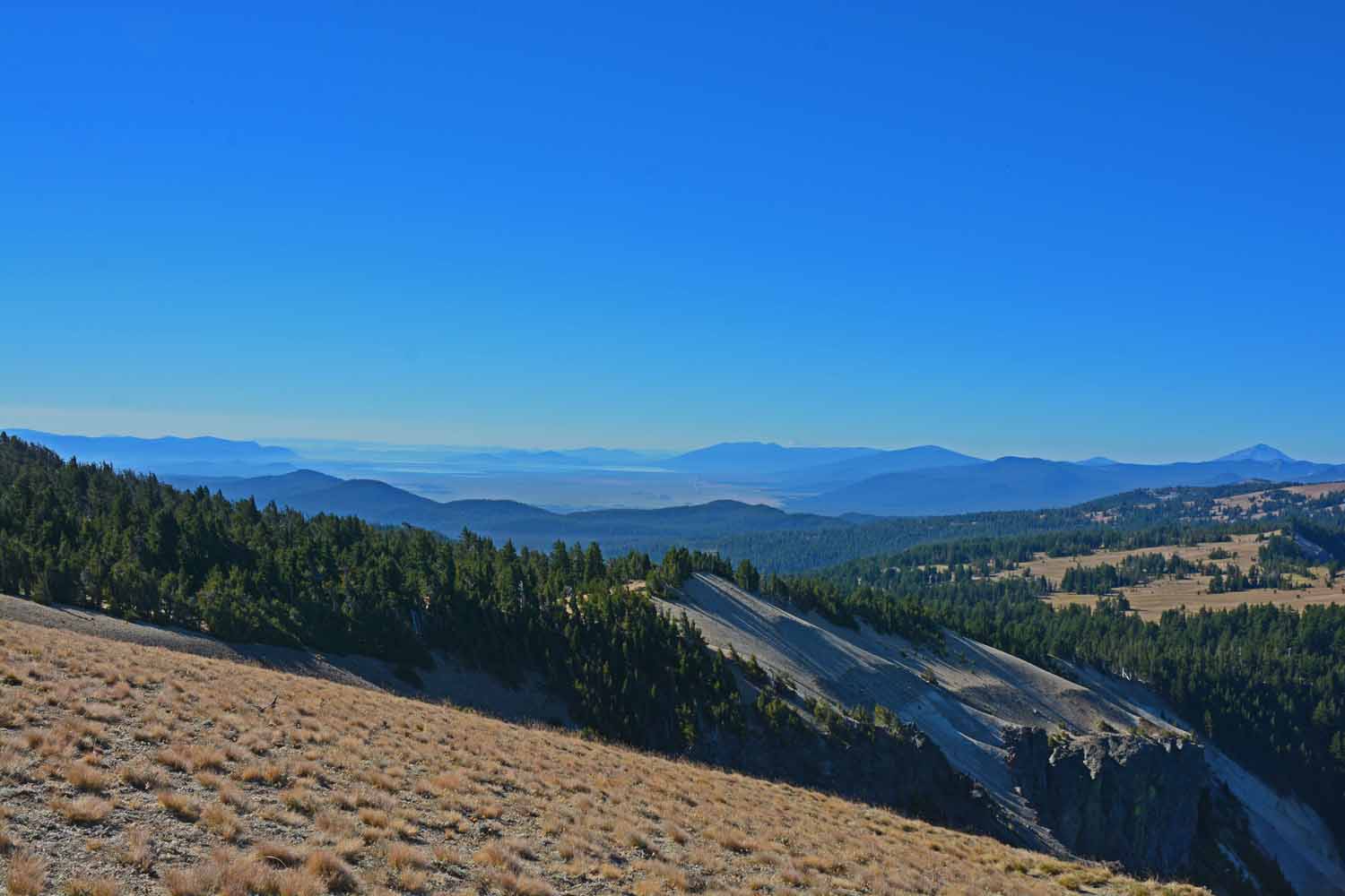
This is one of the long views on the Mt Scott trail.  Beautiful country...

This is one of the long views on the Mt Scott trail. Beautiful country…

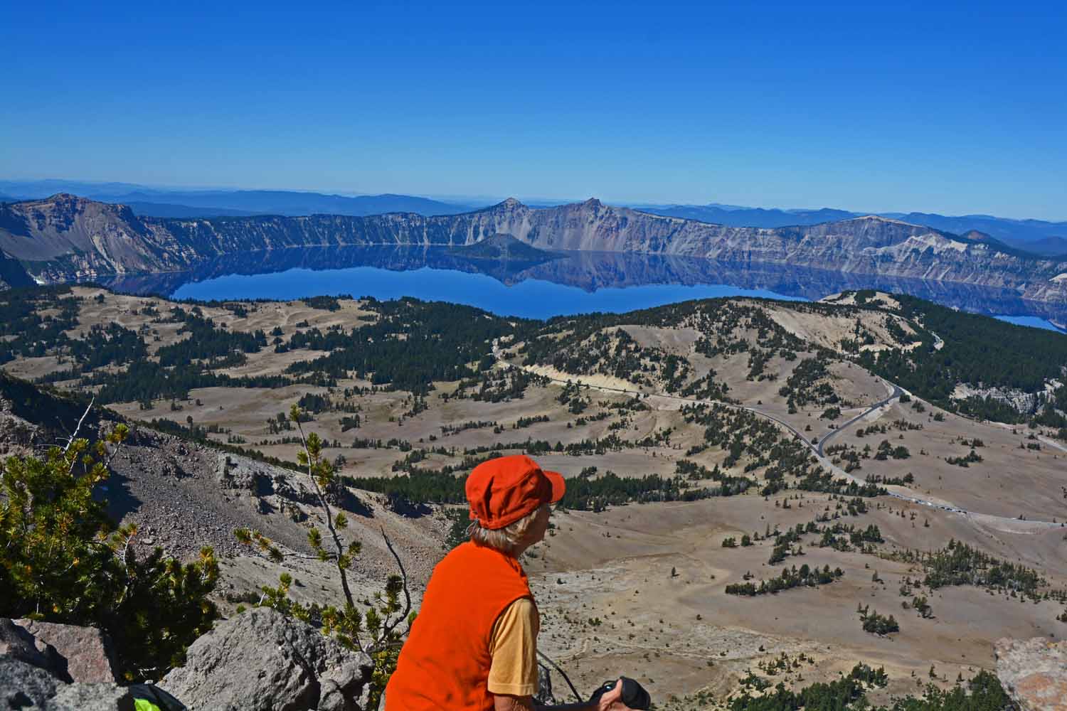
After you get half way up there are many views of the Lake.  Note Wizard Island on the other side of the lake.  We were there in the off season.  During the summer there is a ferry that will take you to island which has hiking trails and where the water is accessible.  The rim around the lake is so high it does not provide for easy access directly to the lake shore.  For the most part access is discouraged anyway.

After you get half way up there are many views of the Lake. Note Wizard Island on the other side of the lake. We were there in the off season. During the summer there is a ferry that will take you to island which has hiking trails and where the water is accessible. The rim around the lake is so high it does not provide for easy access directly to the lake shore. For the most part access is discouraged anyway.
Here is proof, Jan made it to the top of Mt. Scott.

Here is proof, Jan made it to the top of Mt. Scott.

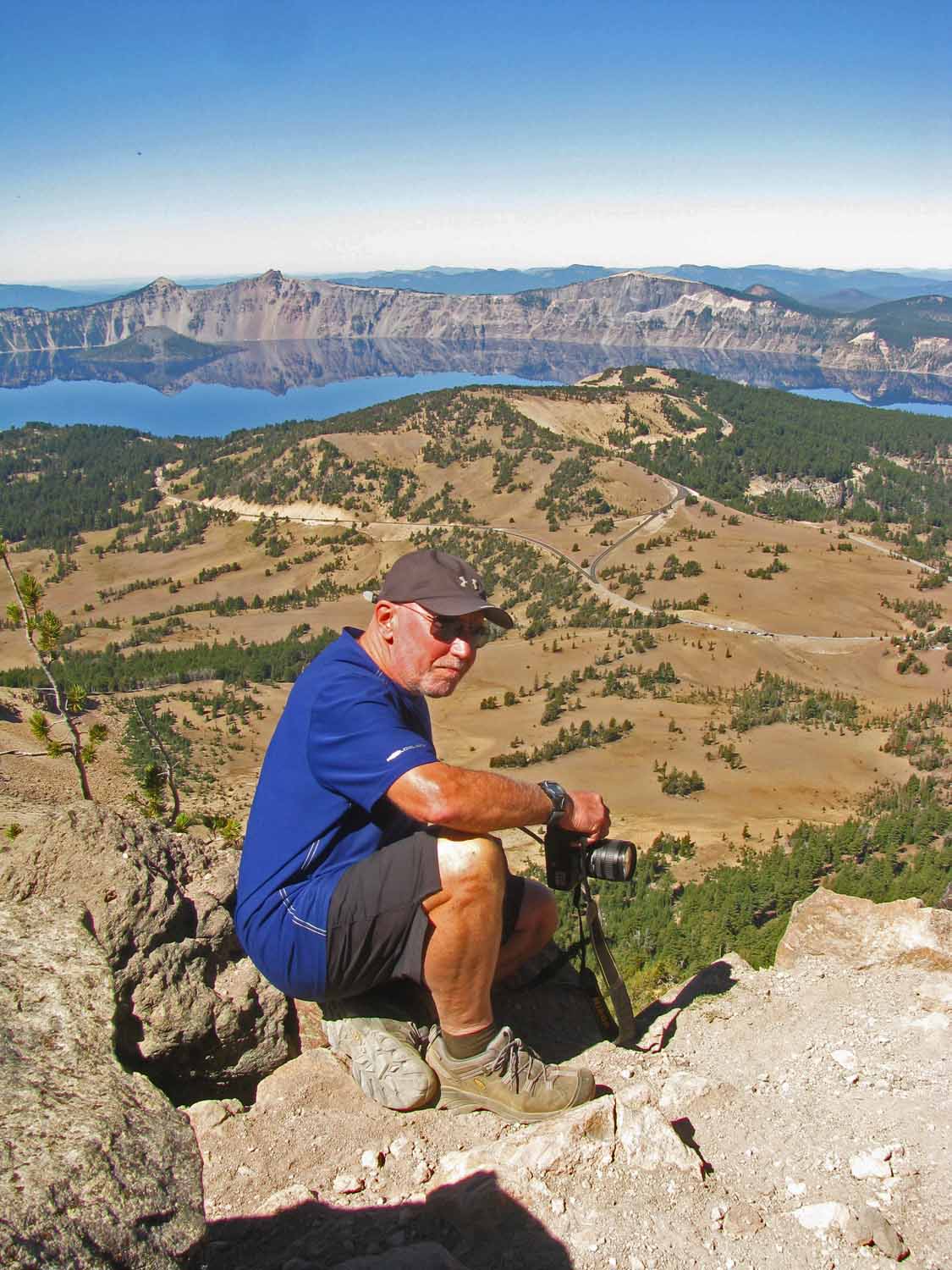
Here is Larry at the top with camera in hand.

Here is Larry at the top with camera in hand.

We are on the other side of the lake now.  Still great views!

We are on the other side of the lake now. Still great views!

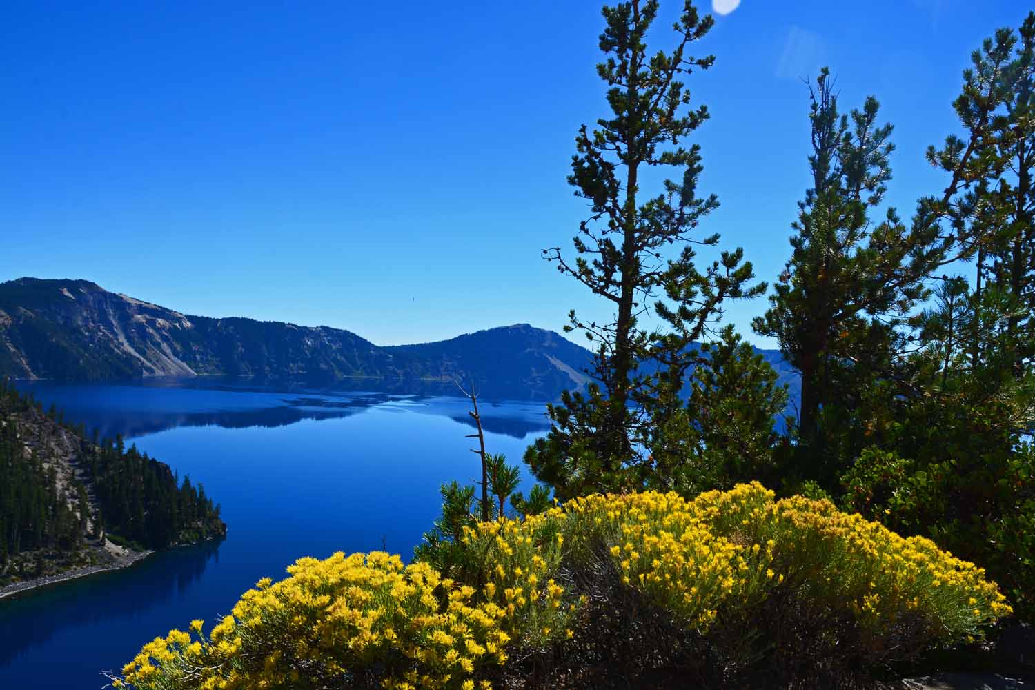
The yellow foreground gives this picture a bit more interest.  These flowers were all along the road.

The yellow foreground gives this picture a bit more interest. These flowers were all along the road.
Now we are back on the other side...looking at Wizard Island.

Now we are back on the other side…looking at Wizard Island.

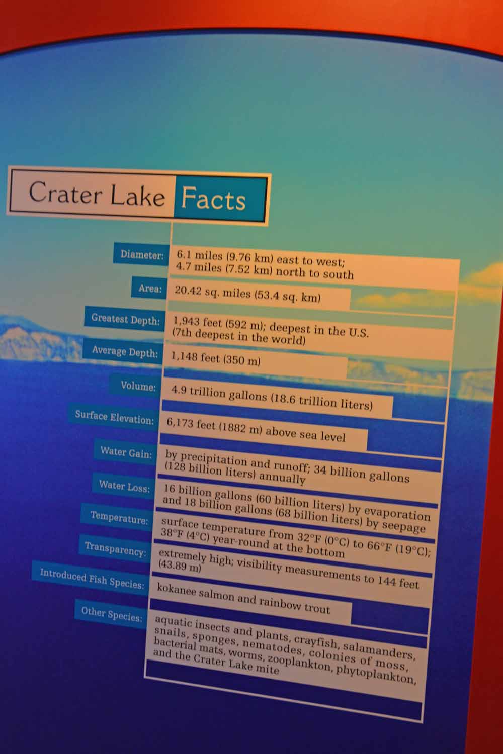
If you are interested here are some facts about Crater Lake.  This National Park ranks near the top on our list.  Of the 59 National Parks, by the end of this trip, we will have seen 33 of them.  There are 10 of the 59 that you can only reach by getting on a plane.  Yes, the remaining 26 are on our future travel list.

If you are interested here are some facts about Crater Lake. This National Park ranks near the top on our list. Of the 59 National Parks, by the end of this trip, we will have seen 33 of them. There are 10 of the 59 that you can only reach by getting on a plane. Yes, the remaining 26 are on our future travel list.

Continuing down the coast we headed to the Redwood National Park which is co-managed with the State of California. The weather was great for our visit. The Jedediah Smith Redwoods State Park was outstanding. It is an older park so getting a RV in the tight spaces takes a little work but is definitely work the effort. Here we did a lot of hikes, a lot of driving and in awe of the giant trees. Jan and I both took a lot of pictures trying to capture these huge trees. All I can say now is you have to see them for yourself to get the “real” picture.
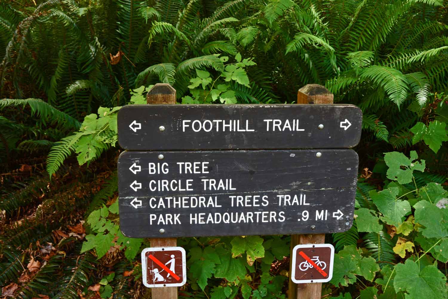
All I can say is the Redwoods are impressive.  We did plenty of hiking taking in the "Big Trees".  In the Redwood forest it is hard to even see the top of the trees let alone take a good photo.

All I can say is the Redwoods are impressive. We did plenty of hiking taking in the “Big Trees”. In the Redwood forest it is hard to even see the top of the trees let alone take a good photo.
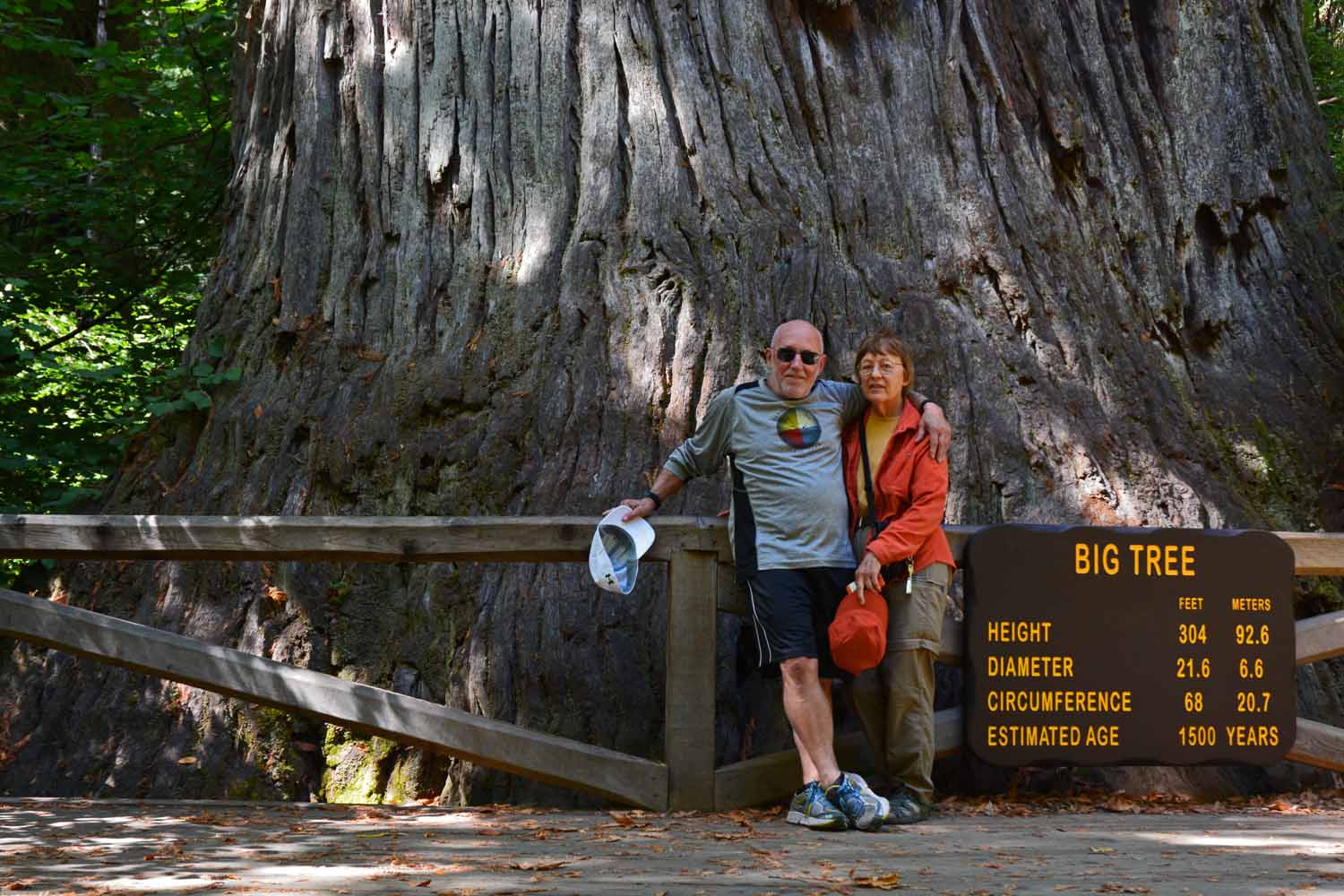
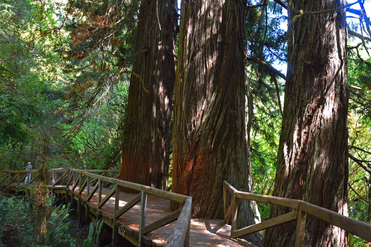
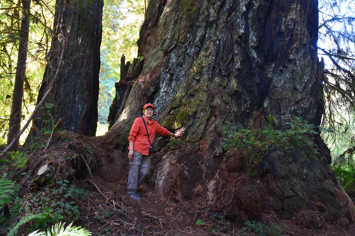
Jan and Larry in front of the Big Tree...interesting numbers.  There are trees here over 3,000 years old.

Jan and Larry in front of the Big Tree…interesting numbers. There are trees here over 3,000 years old.
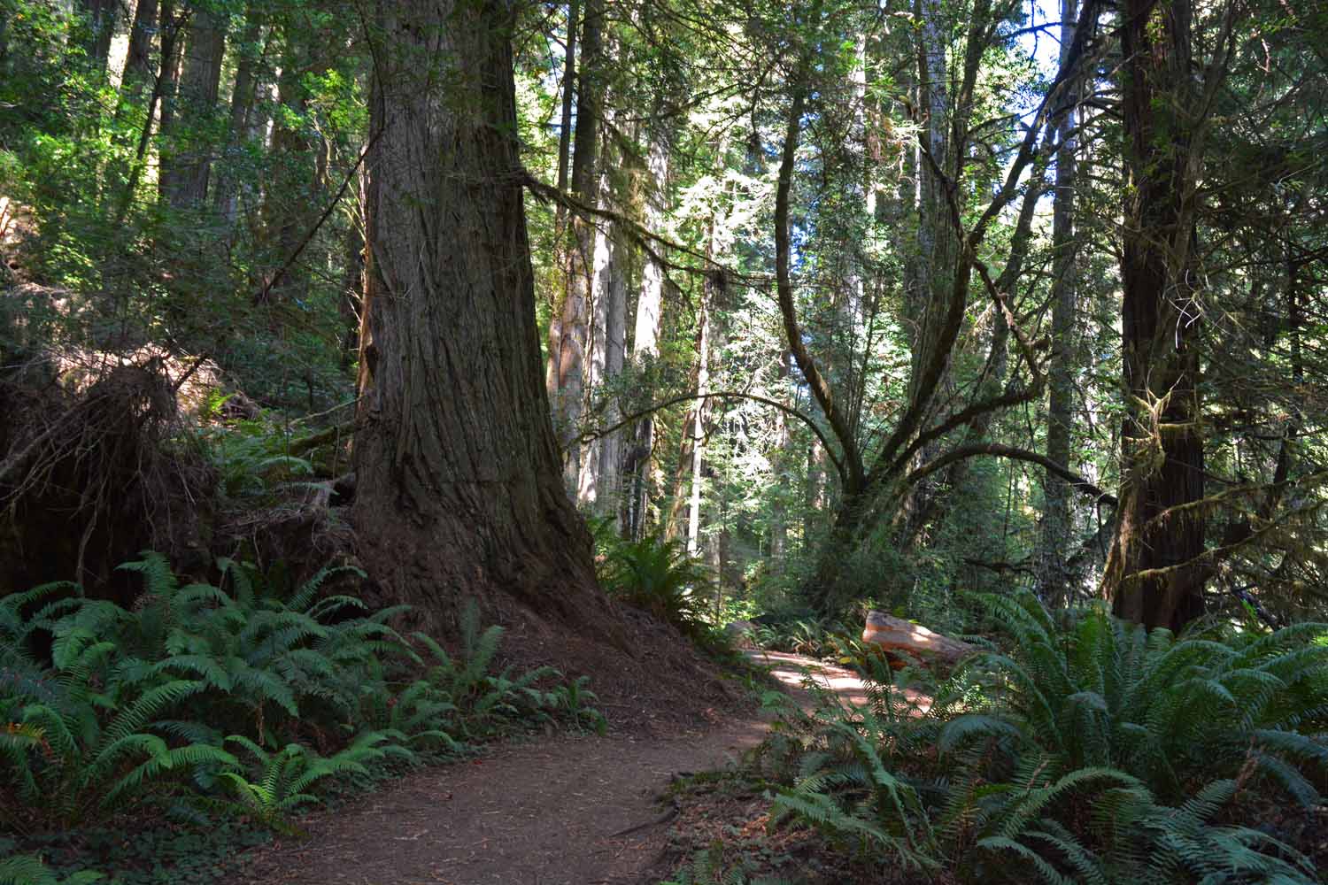
What can I say these trees are impressive in size.

What can I say these trees are impressive in size.

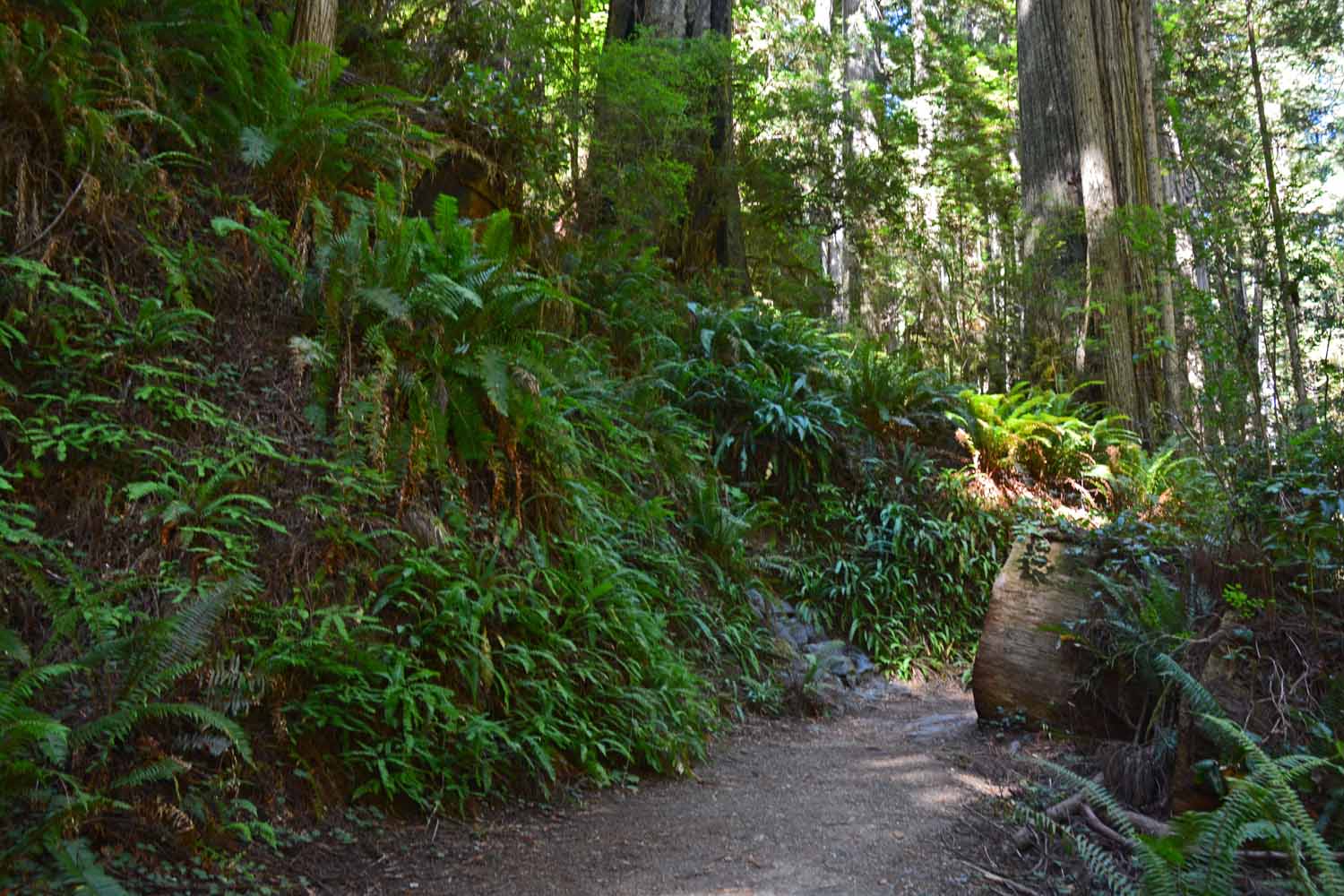
The Redwood National park is in the Rain Forest.  The ferns were also impressive as well as imposing.

The Redwood National park is in the Rain Forest. The ferns were also impressive as well as imposing.
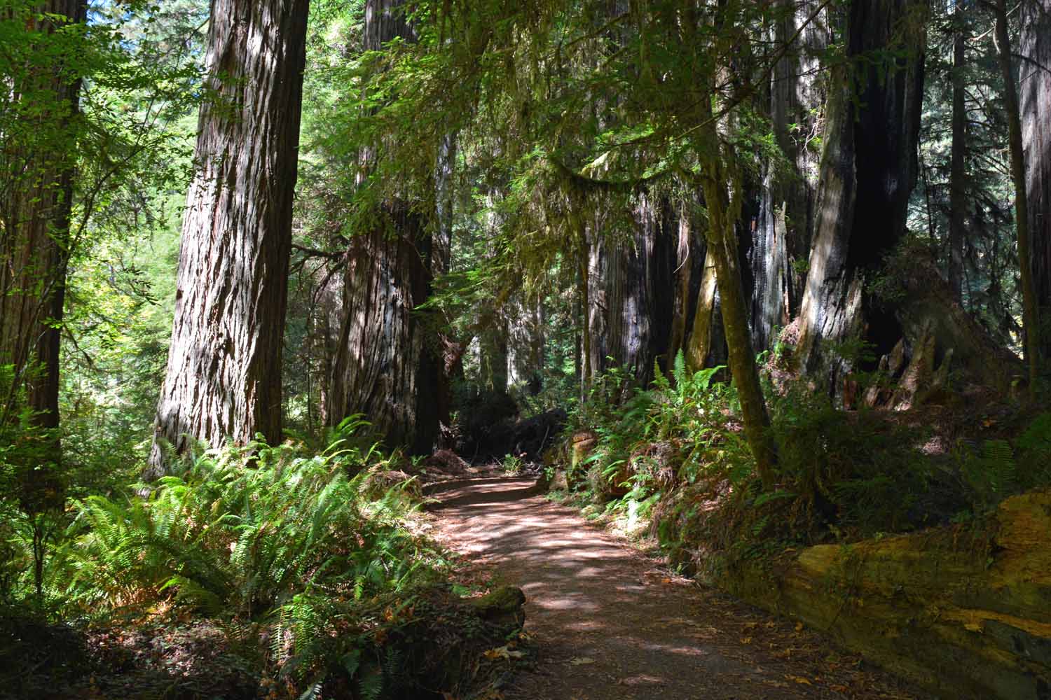
Along the trail you will find many hanging gardens.

Along the trail you will find many hanging gardens.

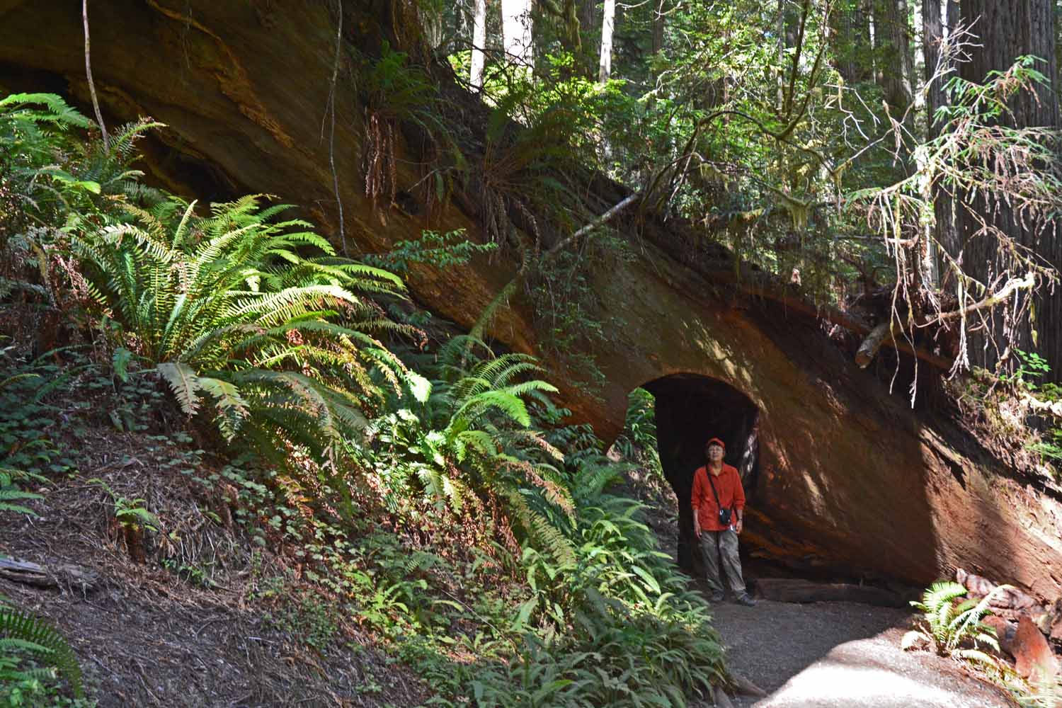
Trail access here is through, not around.

Trail access here is through, not around.

When it comes to size this picture tell all.

When it comes to size this picture tell all.

This trail is in the Jedediah Smith Redwoods State Park which in the Northern section.  Great RV park by the way.  The feeling here is one of being in a cathedral.  Our other hikes were in the Prairie Creek area which is more central.    Inland and to the south there is more Redwoods National Park but we did not make it that far. Getting around in this park requires a lot of driving.
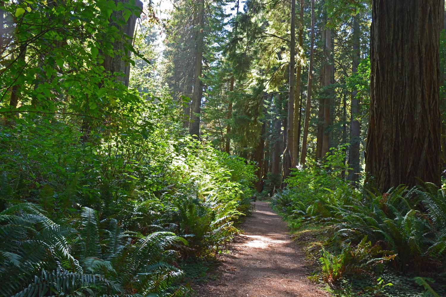
This trail is in the Jedediah Smith Redwoods State Park which in the Northern section. Great RV park by the way. The feeling here is one of being in a cathedral. Our other hikes were in the Prairie Creek area which is more central. Inland and to the south there is more Redwoods National Park but we did not make it that far. Getting around in this park requires a lot of driving.

Liked this picture as generally you do not get any sun on the trail as it blocked by the heavy canopy.
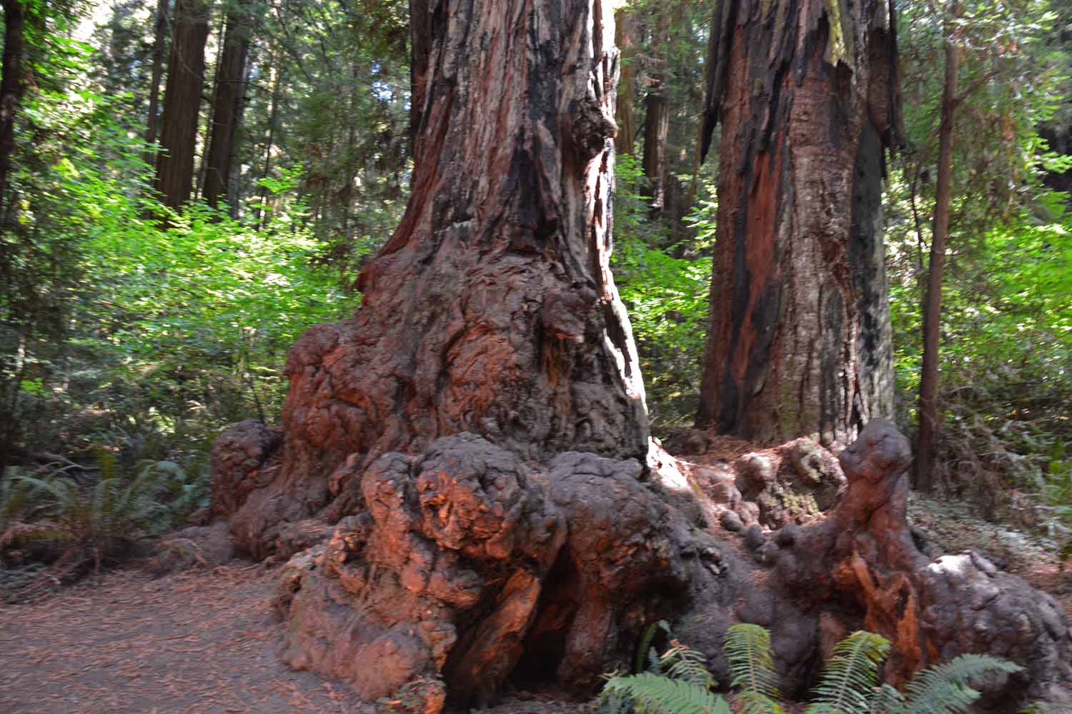
Liked this picture as generally you do not get any sun on the trail as it blocked by the heavy canopy.

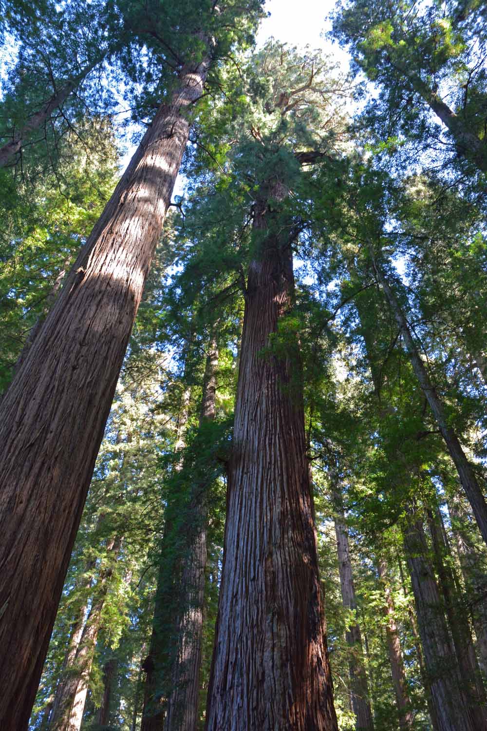
Interesting shot trying to reach the top of this 350 ft. tree.

Interesting shot trying to reach the top of this 350 ft. tree.

These trees quite often grow together.  Because their roots are shallow the trees lock their roots together for stability.

These trees quite often grow together. Because their roots are shallow the trees lock their roots together for stability.

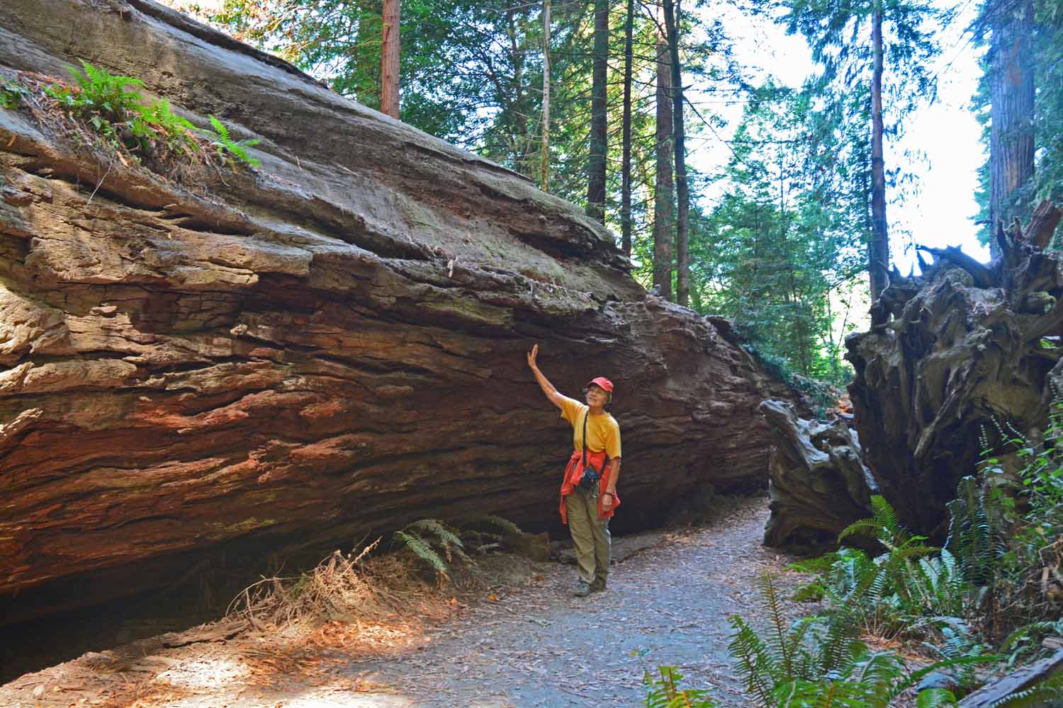
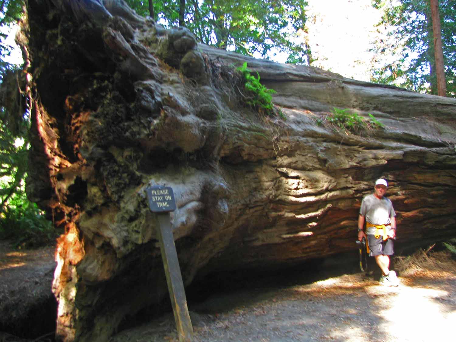
Downed tree, it is still big. Jan sizing up things.

Downed tree, it is still big. Jan sizing up things.

Larry hanging out in the shade...

Larry hanging out in the shade…

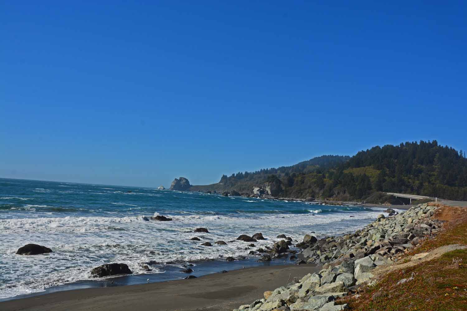
Northern California has a great coast too.

Northern California has a great coast too.

Lassen Volcanic National Park is midway between the Redwoods and Yosemite. After reading up on this park we decided to spend a couple of days which was really more than enough time. Again lots of driving to get from one side to the other. The experience of being in an earthquake prone area and where there are many hydrothermal areas was a new experience. The area is very well curated on the events of the past. Good experience and glad we did it.
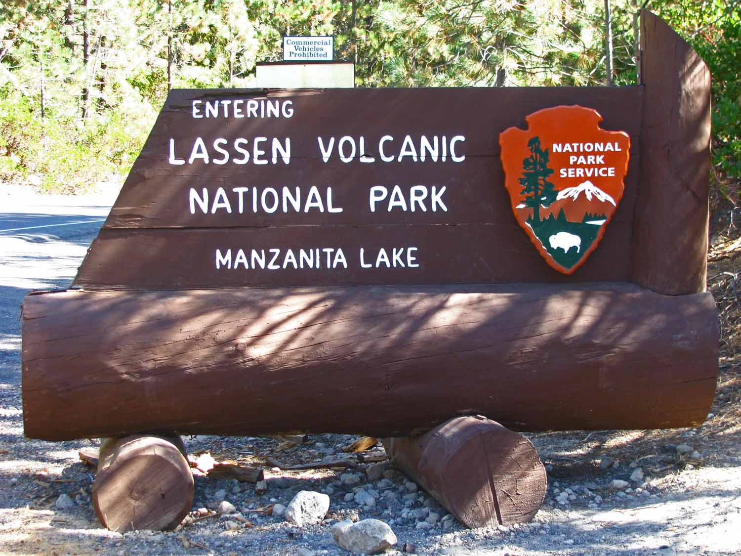
I had never heard of Lassen before we started planning for this trip.  It was a great one time adventure and was a nice stop as we travelled from the Redwoods to Yosemite National Parks.
I had never heard of Lassen before we started planning for this trip. It was a great one time adventure and was a nice stop as we travelled from the Redwoods to Yosemite National Parks.

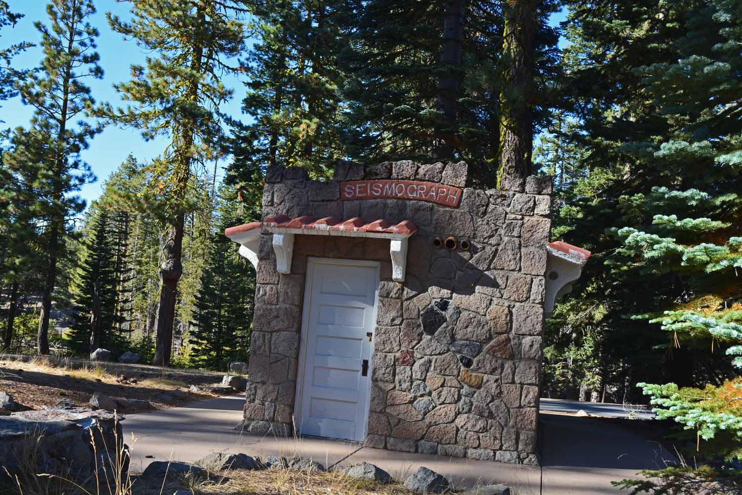
Plenty of seismic activity here.  There are several tremors every day.  You can check out the active areas at the visitor center.  We enjoyed our visit here as long as you did not think about it too much...

Plenty of seismic activity here. There are several tremors every day. You can check out the active areas at the visitor center. We enjoyed our visit here as long as you did not think about it too much…
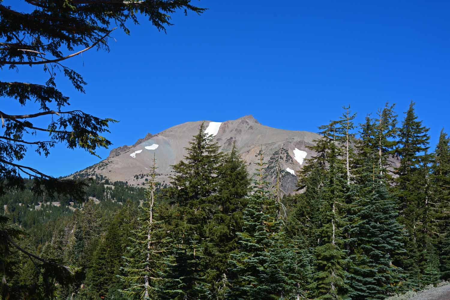
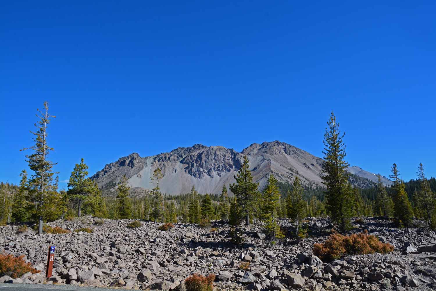
This is Mt. Lassen topping out at over 10,000 ft.  The major eruption was 7,700 years ago.  There were also big eruptions in 1914 and 1915.

This is Mt. Lassen topping out at over 10,000 ft. The major eruption was 7,700 years ago. There were also big eruptions in 1914 and 1915.
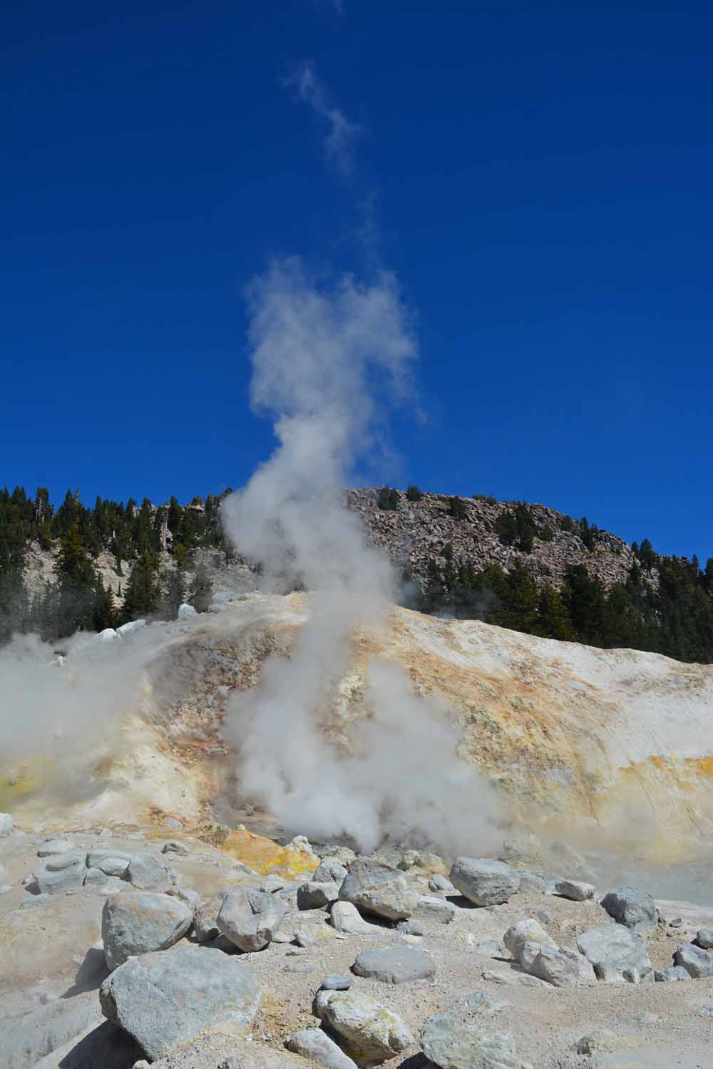
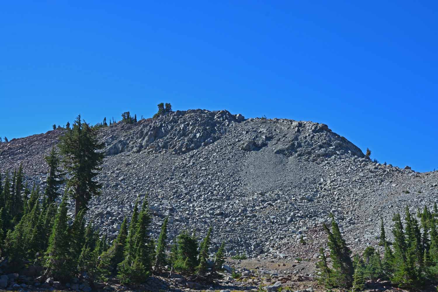
Much of the area is barren and still in recovery mode.

Much of the area is barren and still in recovery mode.

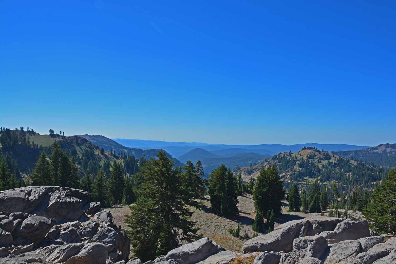
Great views at 7,000 ft.

Great views at 7,000 ft.

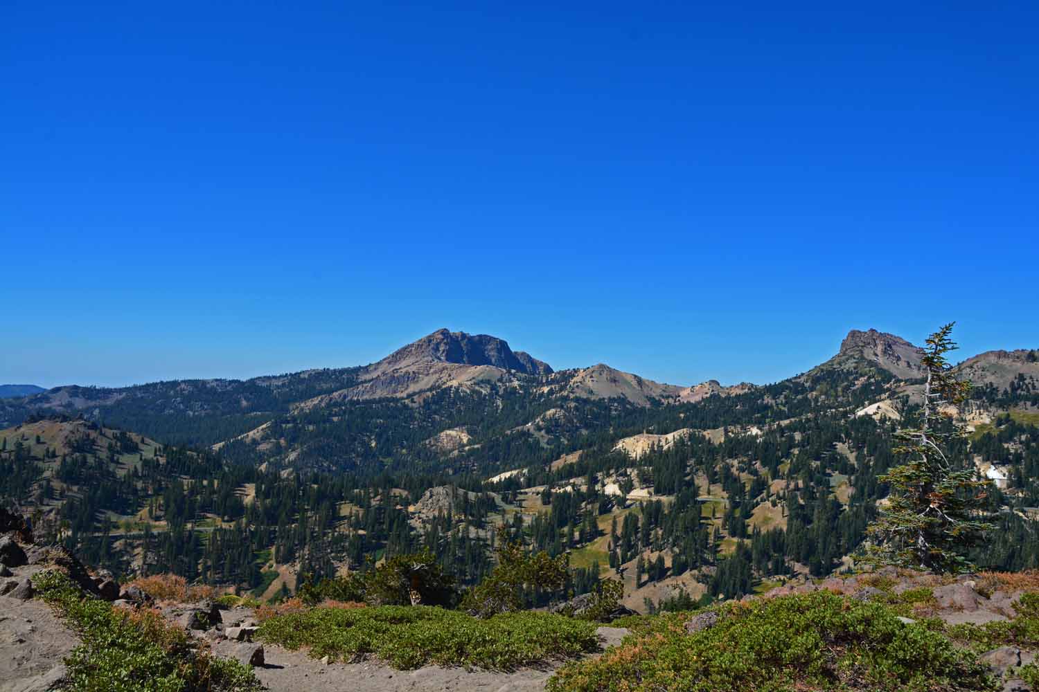
Even nice view at 5,000 ft.

Even nice view at 5,000 ft.

Debris from the last eruption.

Debris from the last eruption.

Lassen from the other side of the mountain.

Lassen from the other side of the mountain.

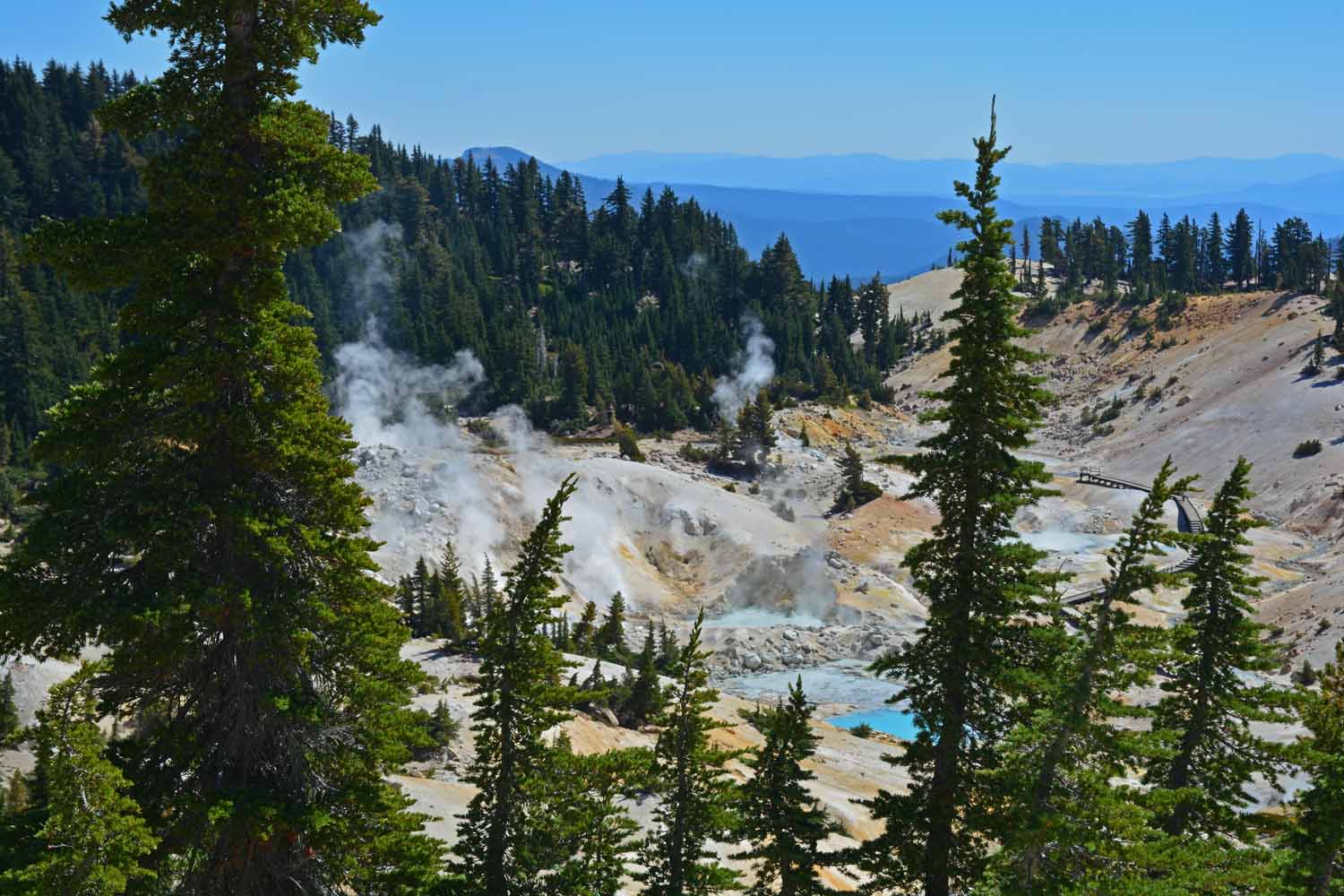
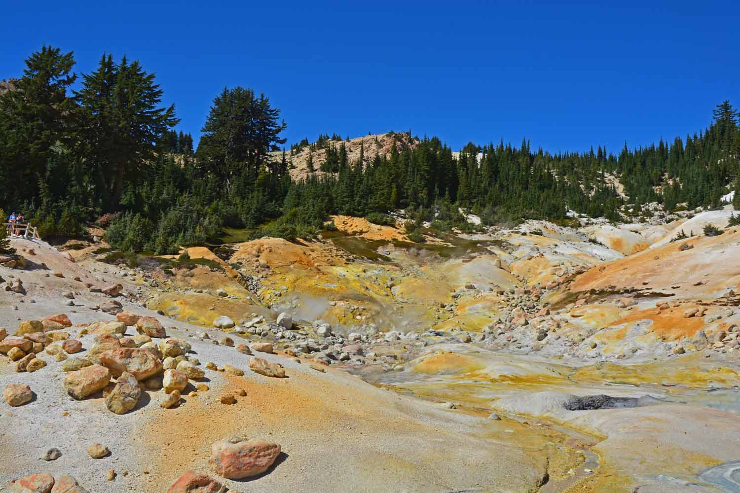
This park has many active hydrothermal areas.

This park has many active hydrothermal areas.

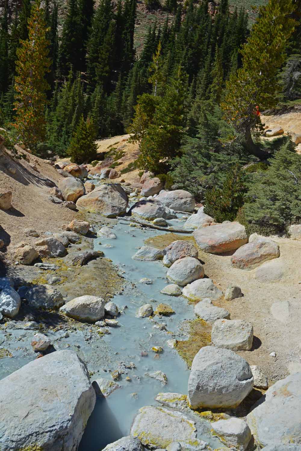
Lots of hot water flowing everywhere...

Lots of hot water flowing everywhere…

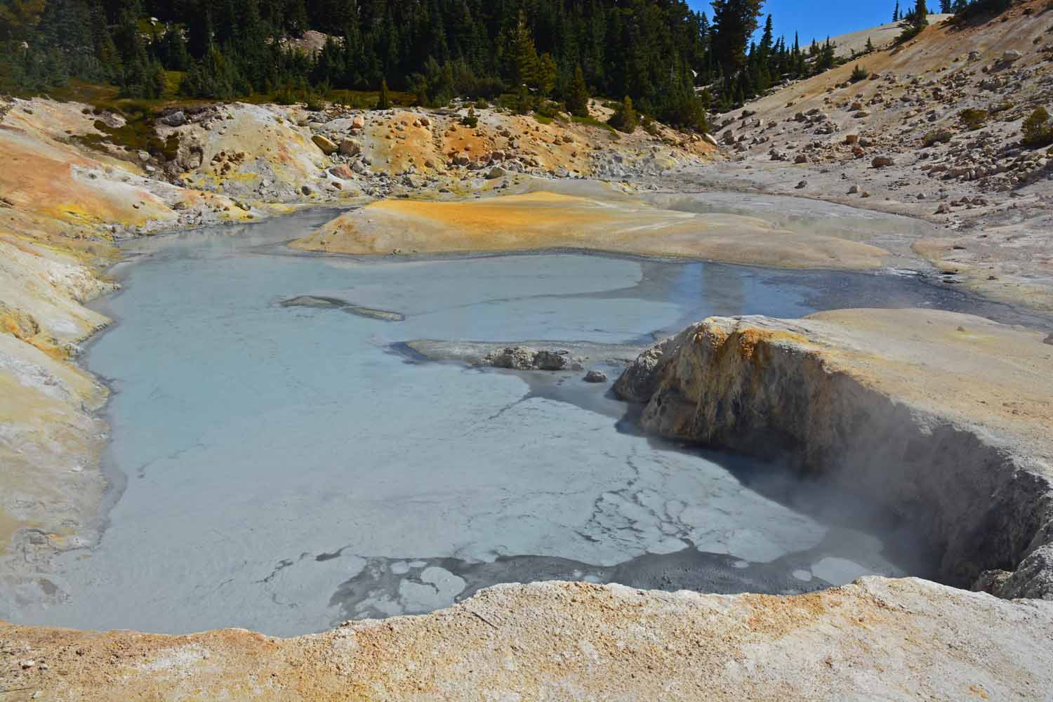
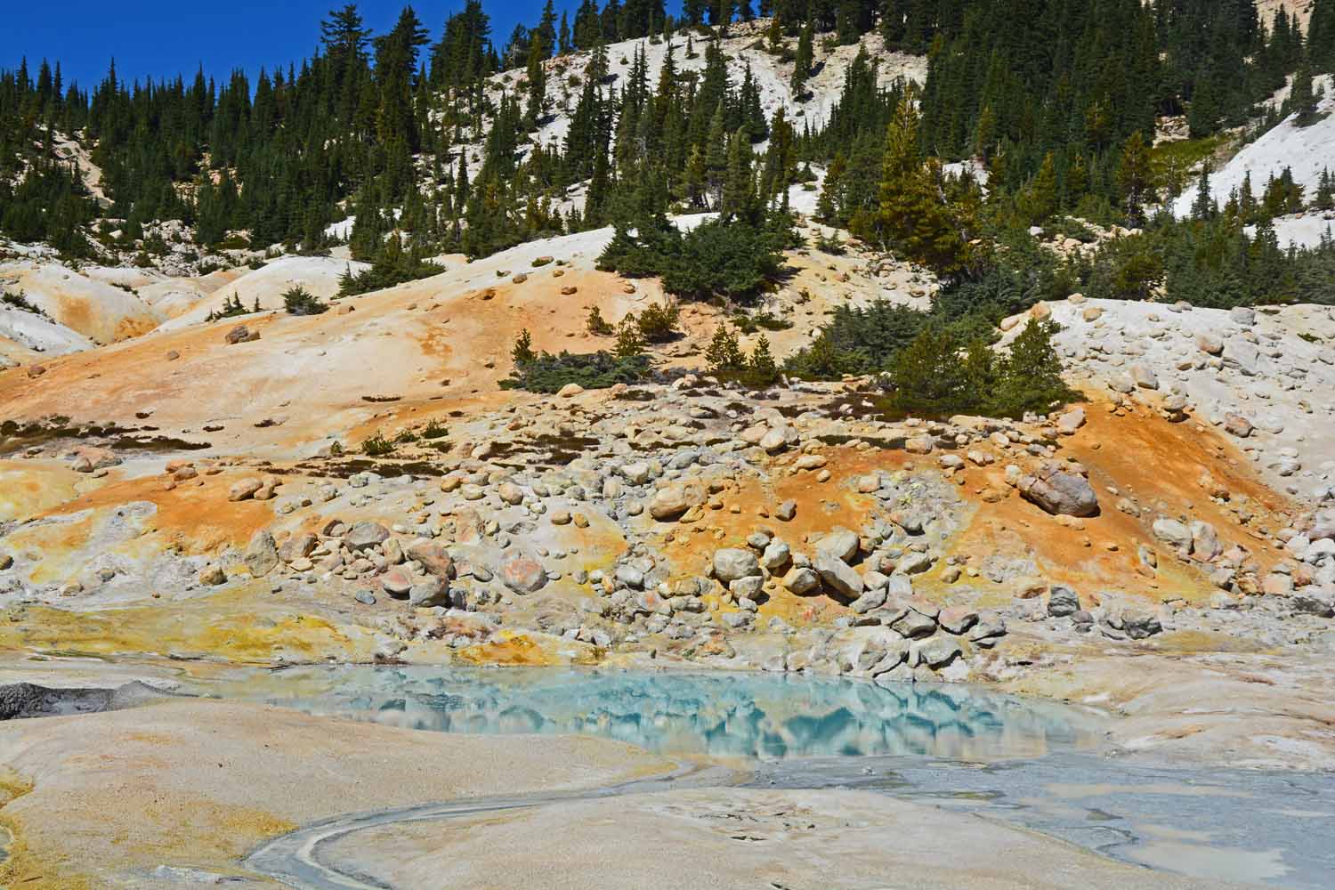
This hot water pool was covered with pyrite, fools gold, which took in some fools from the past.

This hot water pool was covered with pyrite, fools gold, which took in some fools from the past.

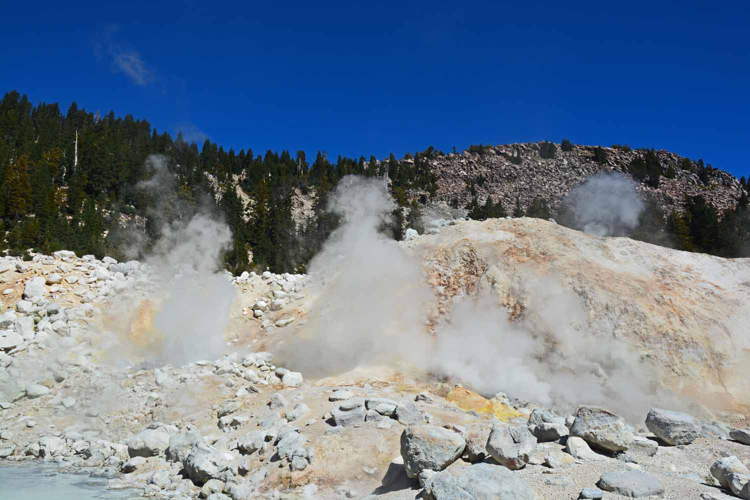
Yes, you can smell the sulfur...

Yes, you can smell the sulfur…

Colorful displays from the sulfur and the steam.

Colorful displays from the sulfur and the steam.

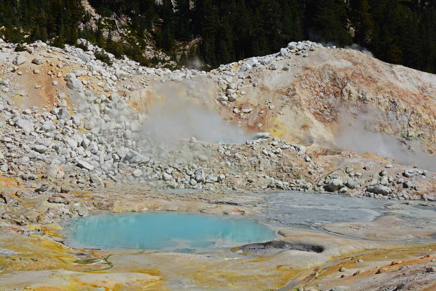
The water was Robin egg blue...

The water was Robin egg blue…

Lots of steam vents.  Warning signs to stay on the trail.

Lots of steam vents. Warning signs to stay on the trail.

The main active thermal area is called Bumpas Hell.  Bumpas was going to mine here but fell through a thin thermal crust which cut his dreams short as he ended up losing a leg from the event.

The main active thermal area is called Bumpas Hell. Bumpas was going to mine here but fell through a thin thermal crust which cut his dreams short as he ended up losing a leg from the event.

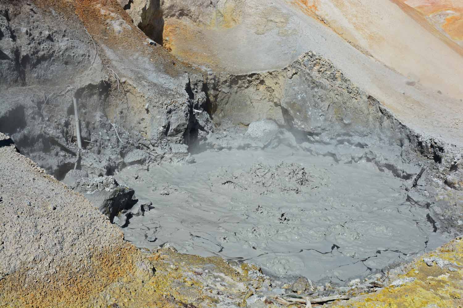
This boiling mud pot was right along the park road.

This boiling mud pot was right along the park road.

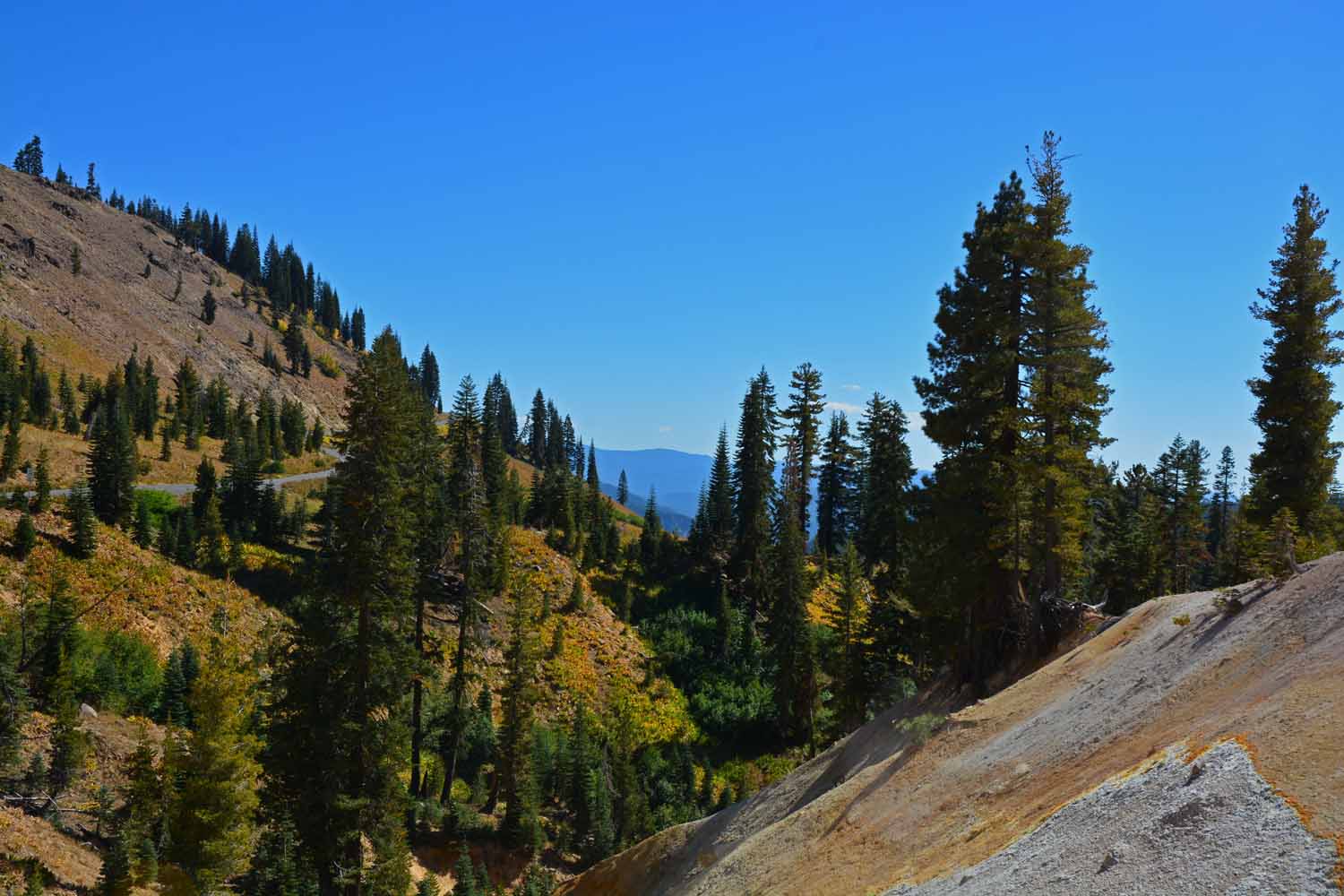
As you come down off the mountain things got greener at Lassen.

As you come down off the mountain things got greener at Lassen.

The smaller RV is working good for us. The routine has emerged and this trip seems easier than last year’s trip to Utah. The days on this adventure are ticking off. The next post will be on Yosemite, Sequoia/King, Death Valley and Joshua Tree National Parks.
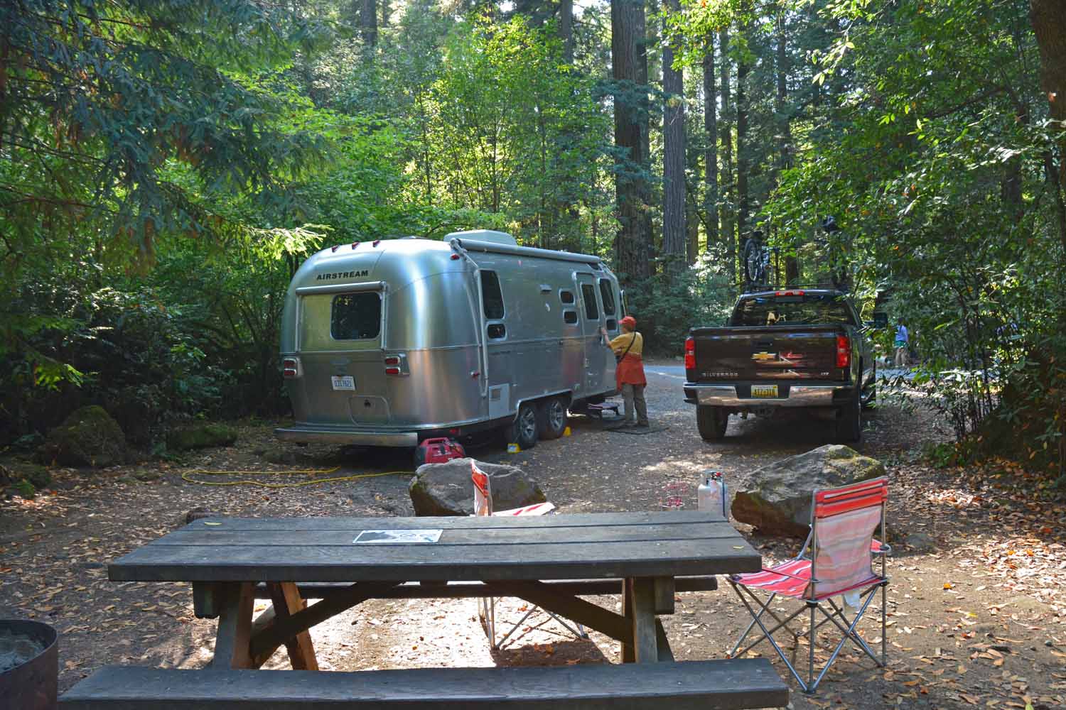
Our trip is half over already.  Life on the road is good, we are having a good time and so far the travel schedule has survived the test of reality.

Our trip is half over already. Life on the road is good, we are having a good time and so far the travel schedule has survived the test of reality.

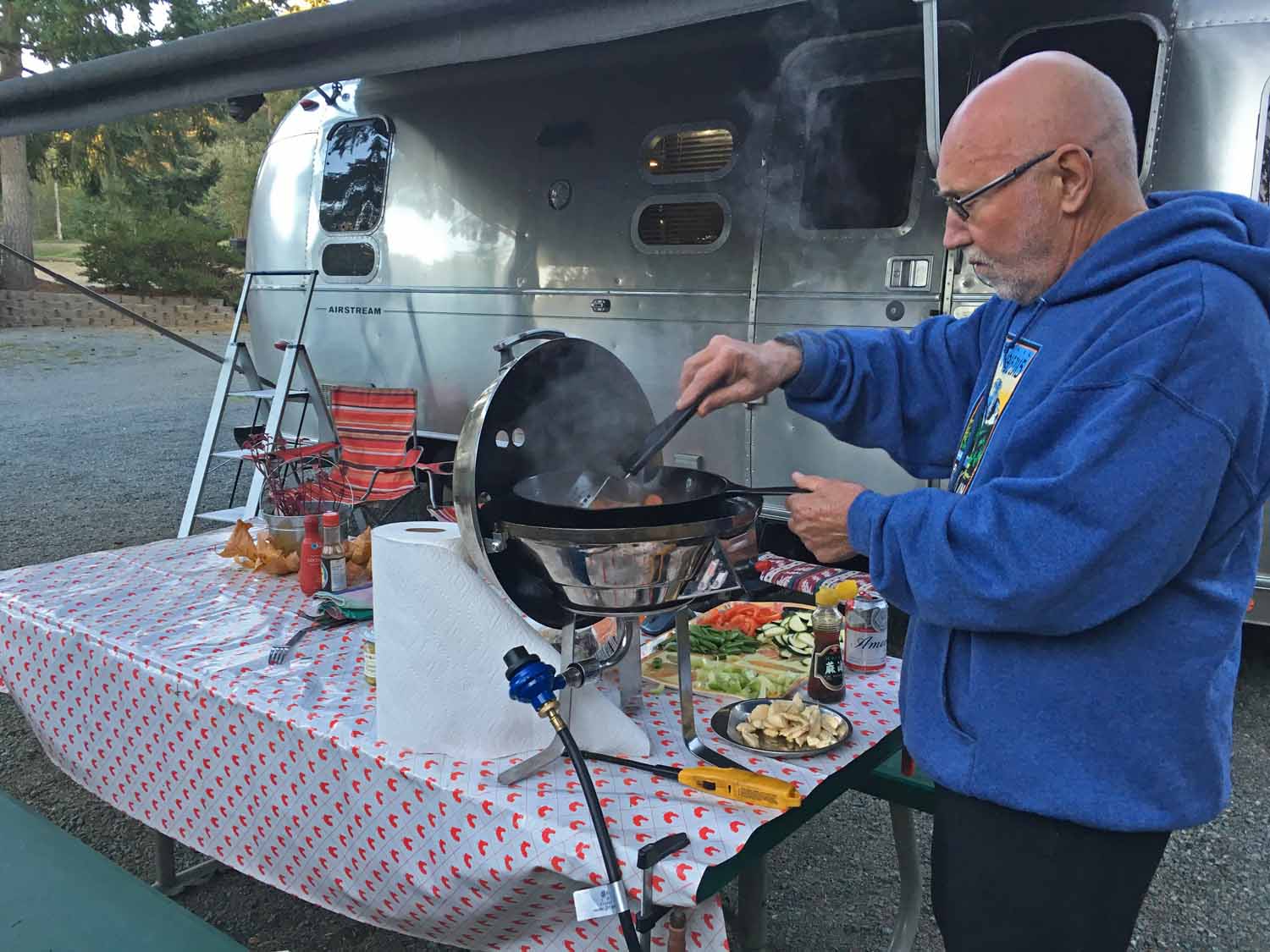
The one thing about being on the road...we eat well.  This evening is a stir fry under the RV awning...

The one thing about being on the road…we eat well. This evening is a stir fry under the RV awning…

Where has summer gone? Hope all you had a good summer too and kicking off fall doing something fun. We find that this retirement life style is a full time job.

God Bless,

Larry and Jan
One thought on “Mt. Rainier to Lassen Volcanic National Park – Summer Travels 2016 – Part Two
  1. Peggy

    I got many double thrills in watching this section of your trip since I’ve been to many of those places. Your photos are wonderful. Thanks for sharing. Safe traveling, Love, Peggy

    Reply

Leave a Reply

Your email address will not be published. Required fields are marked *

This site uses Akismet to reduce spam. Learn how your comment data is processed.