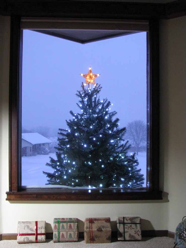
Winter Escape
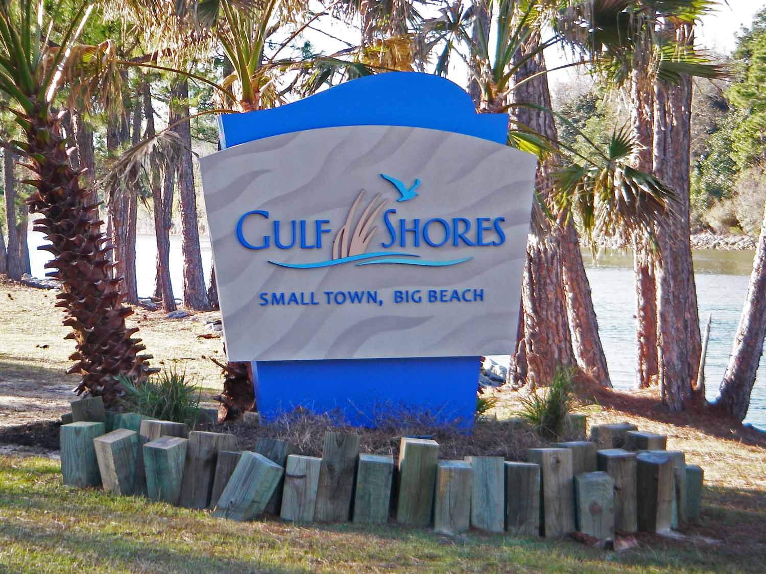
Well here it is spring already and we are back in Michigan. Looks like time for another blog update, the last one show cased our Gulf Shores renovation project around Christmas time. The posting strategy for larry-jan-tvc.net has been to communicate at the end of an event. We found that winter passed more quickly in the land of no snow. If you asked how it went, the response would be it meets expectations. The townhouse was a good pick, great beaches, extensive bike trails and we love the community. However, by the end of our stay, we missed being on the move, seeing new places and meeting new people. Yes, we will go back next fall. You will need to stay tuned as we take on another winter looking for action in the land of “Small town and Big Beach”.
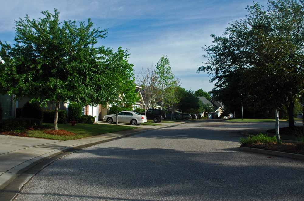
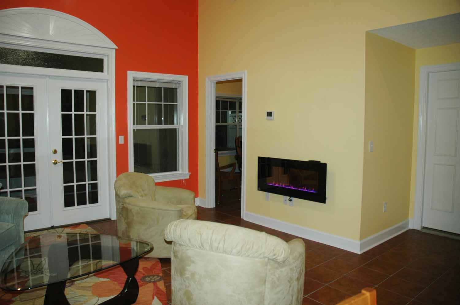
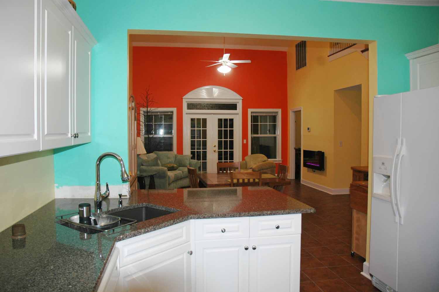
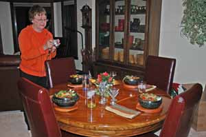
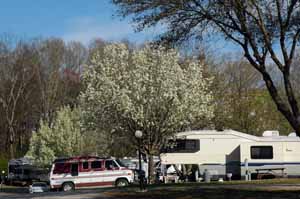
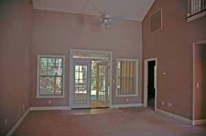
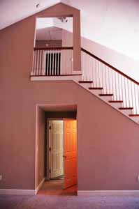
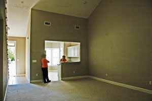
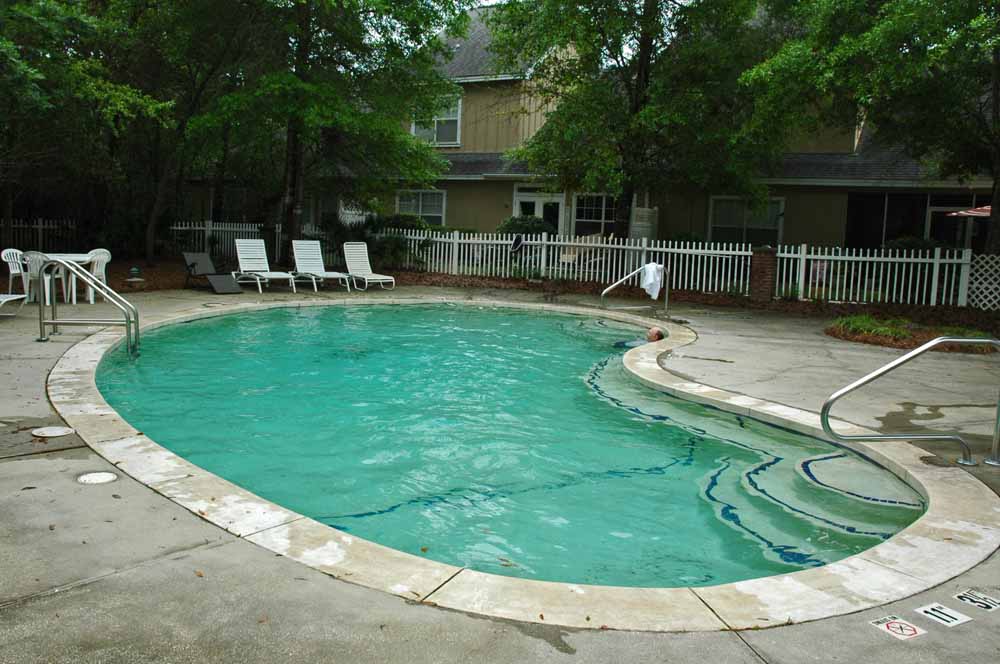
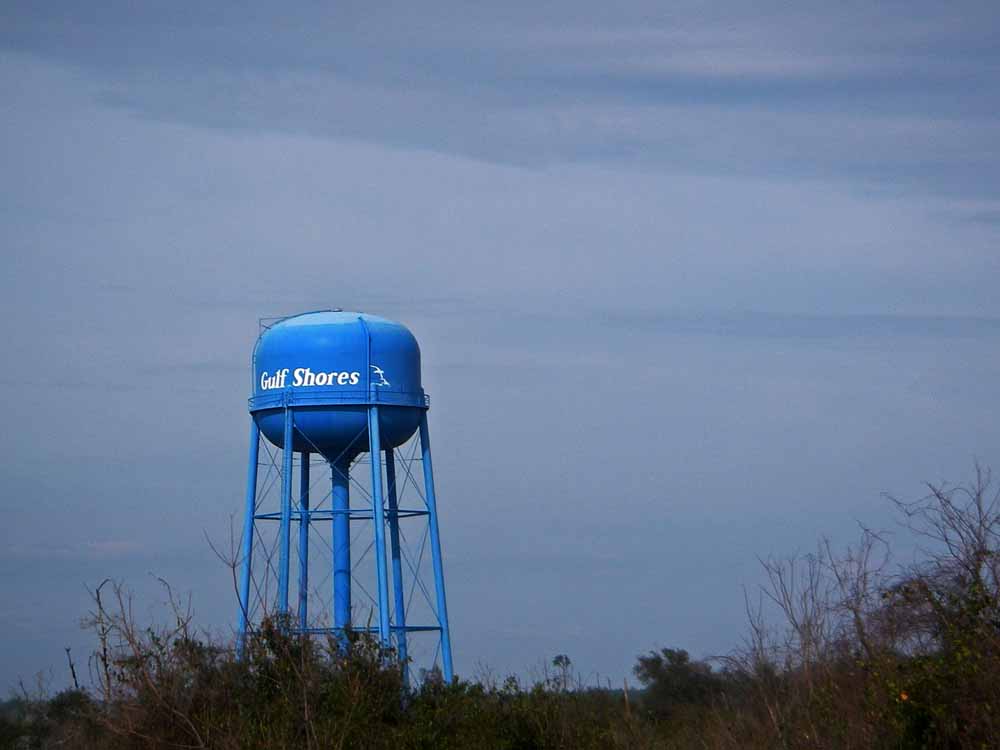
This is Home for the Winter
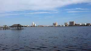
Life is Ok Here on the Coast
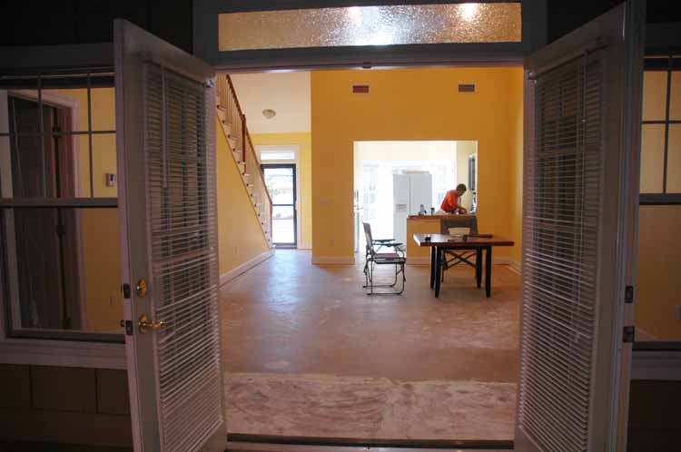
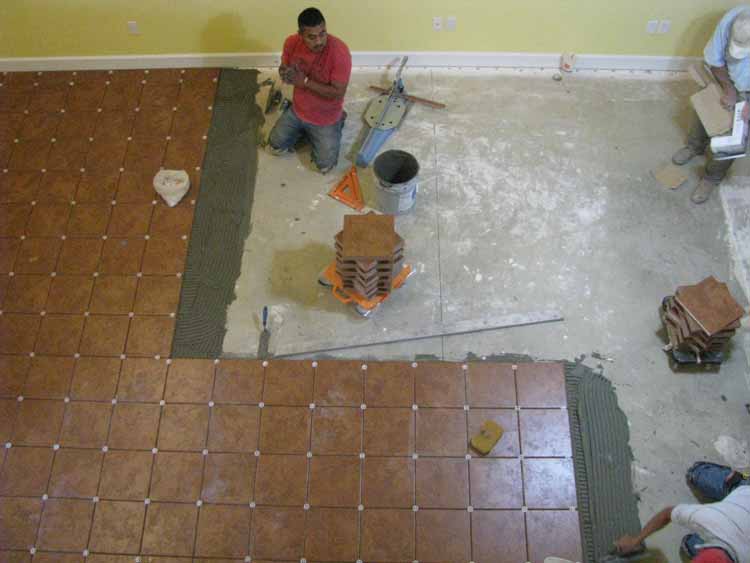
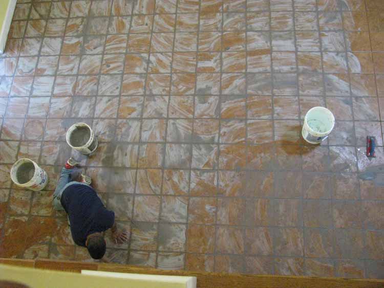
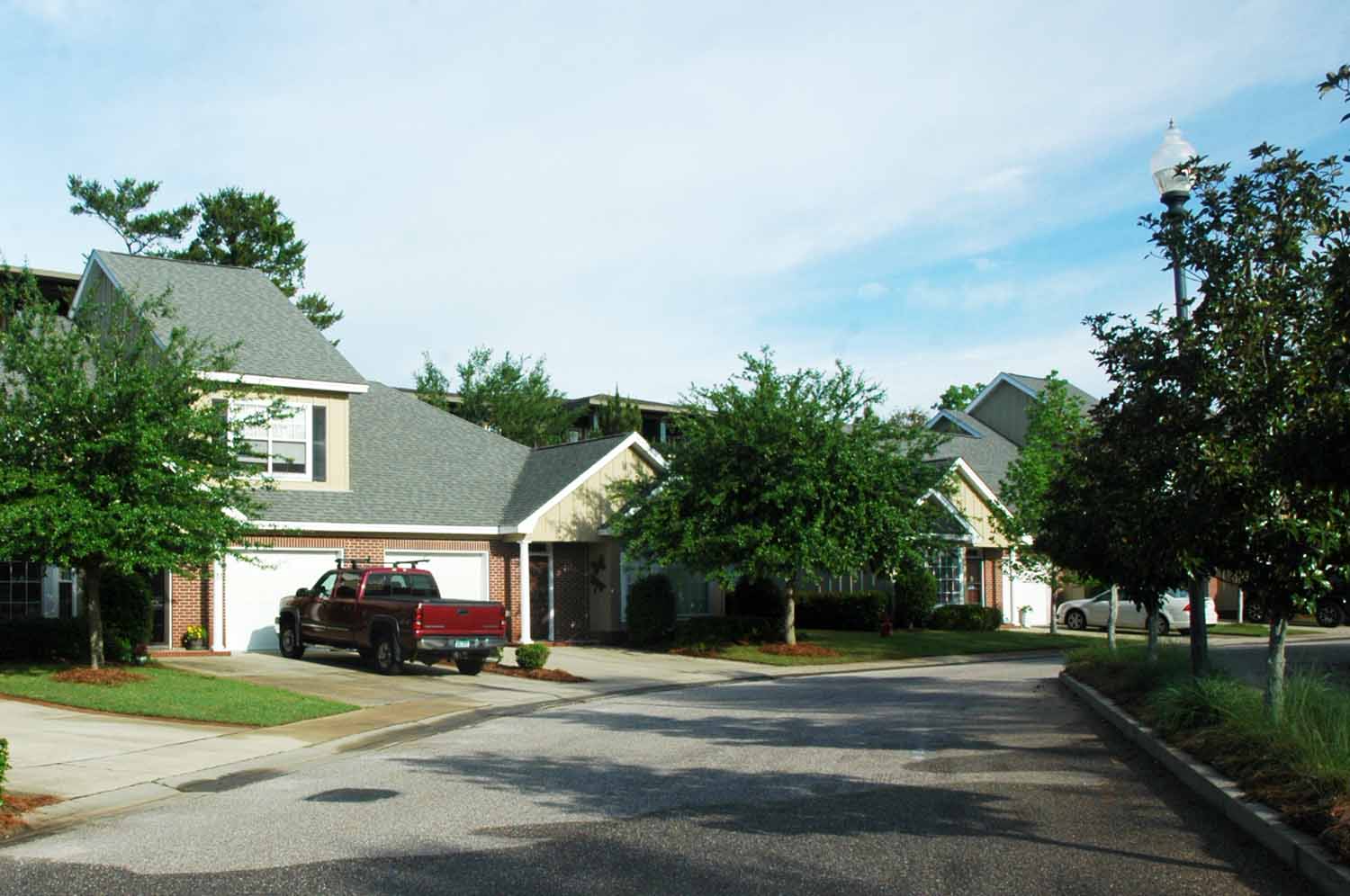
The Ridge complex is made up of 55 units with the addition of 17 more over the next two years. This has turned out to be a great community. The grounds are well maintained, the pool is nice and most importantly it a welcoming and friendly place to be. Living in a condo complex is a new experience. Gulf Shores is a fairly new community being incorporated in the late forties. The demographics here are almost the same as Traverse City. The climate is moderate which attracts Snowbirds from the mid-west and in the summer the focus is on the beaches. Many folks from Florida and Alabama have summer homes and cottages here.
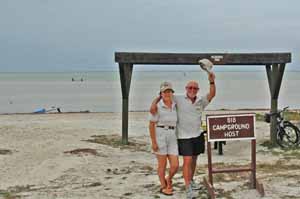
Christmas Day
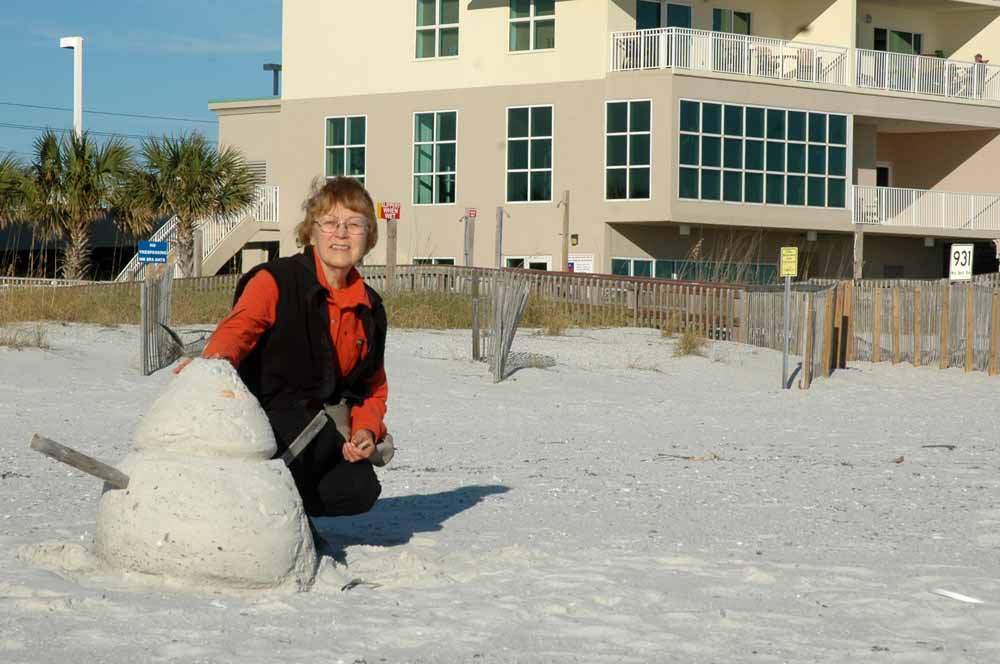
Christmas Day Sand Man
Christmas day finds us on the beach enjoying the water and sun. Jan made a sandman in lieu of the traditional snowman.
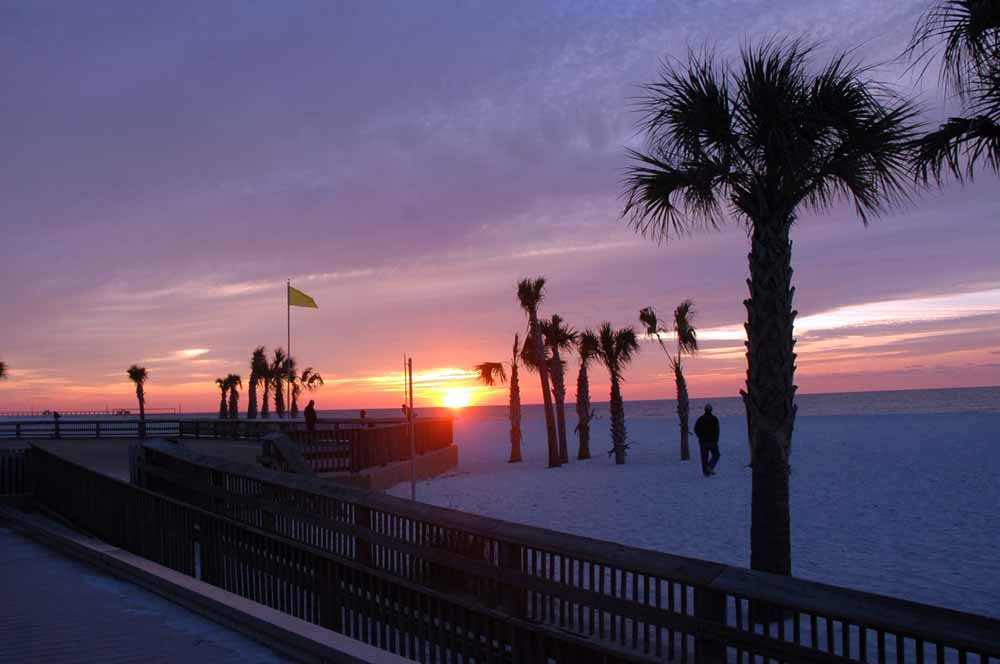
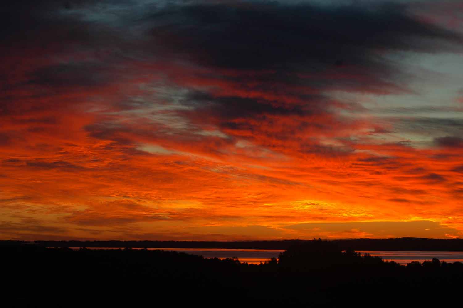
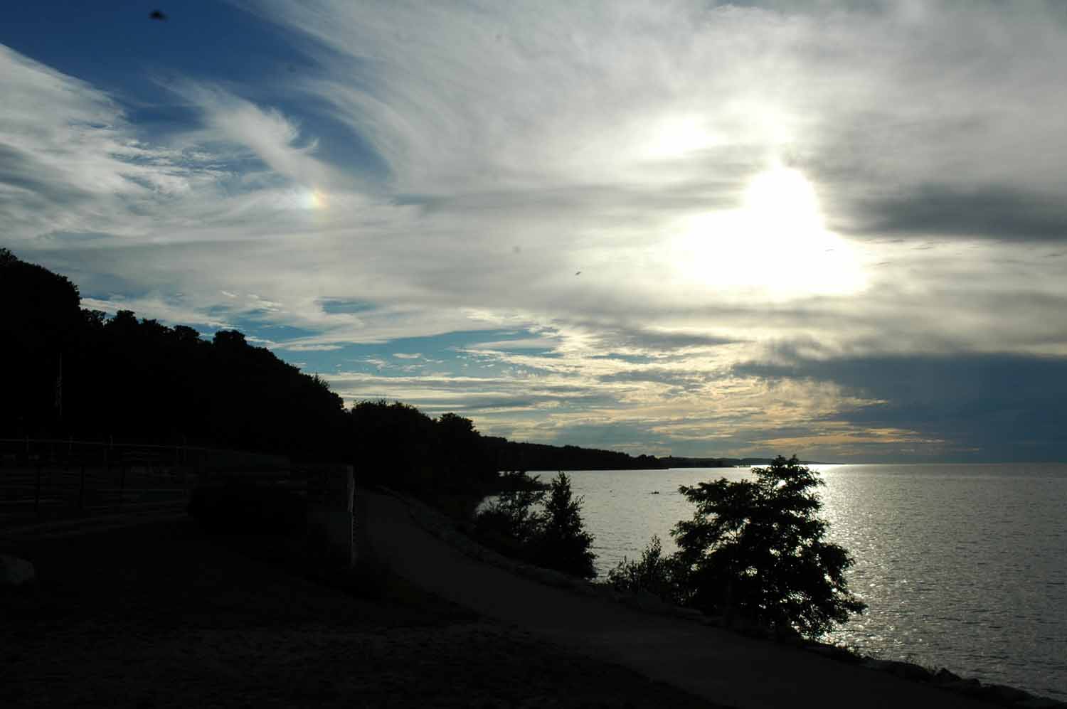
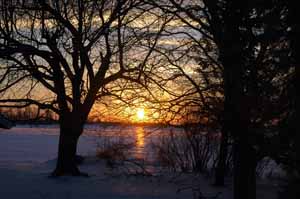
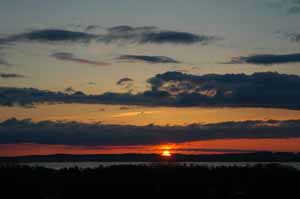
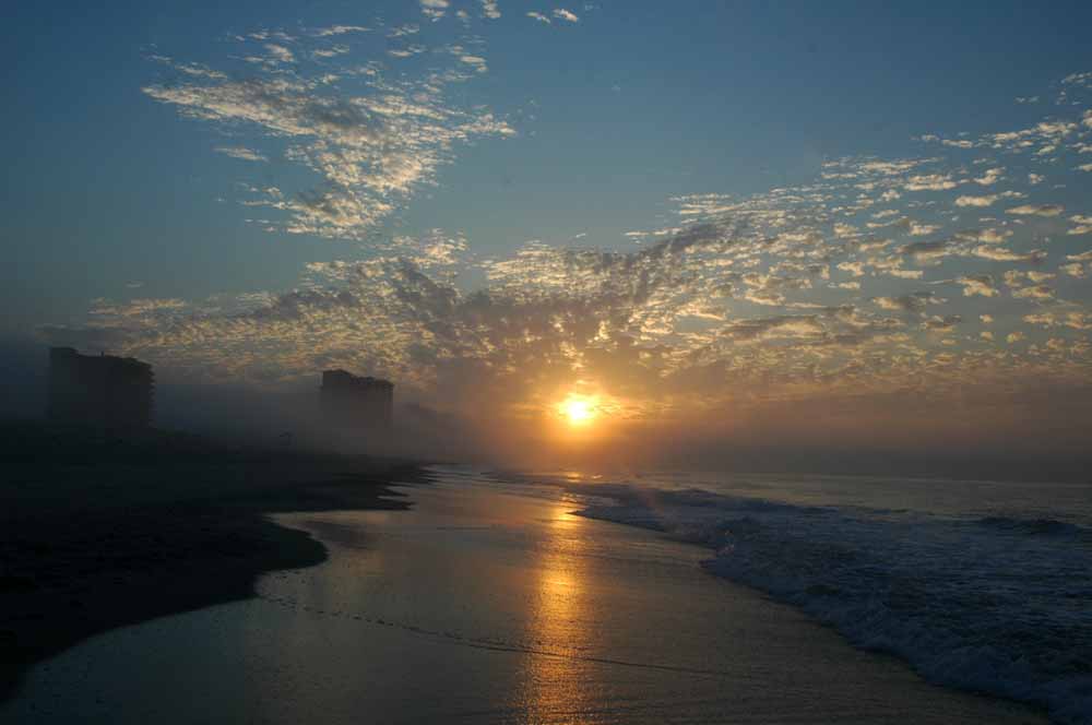
Sunrise on the Beach
Sunrise on the Beach
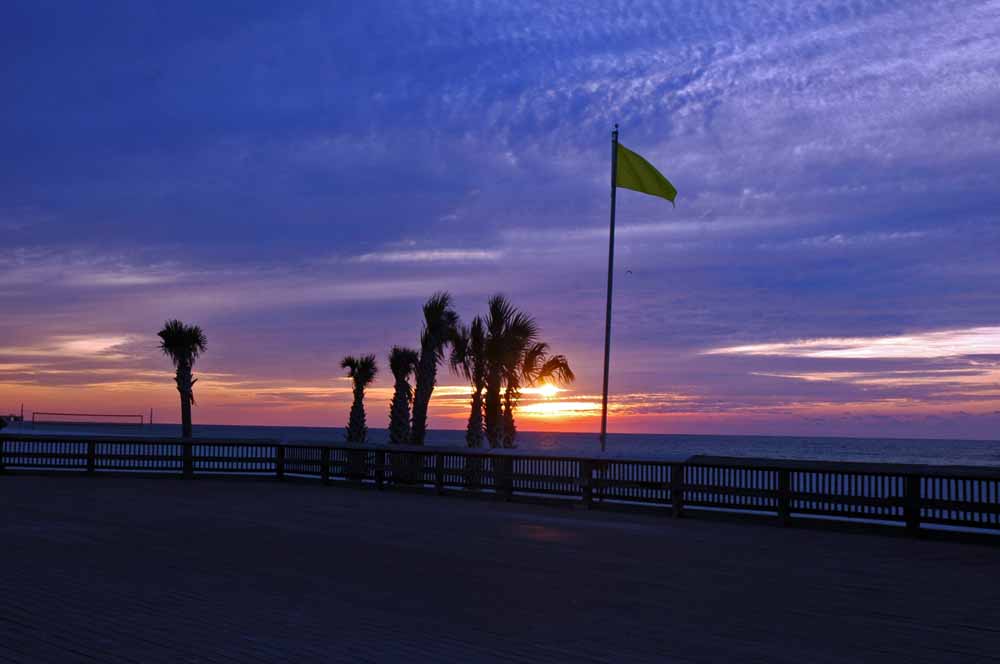
Sunrise on the Beach
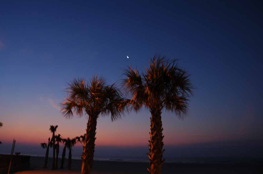
Sunrise on the Beach
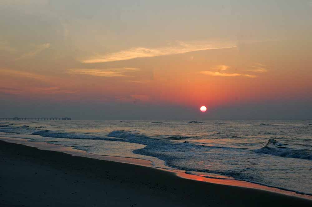
Sunrise on the Beach
Sunrise on the Beach
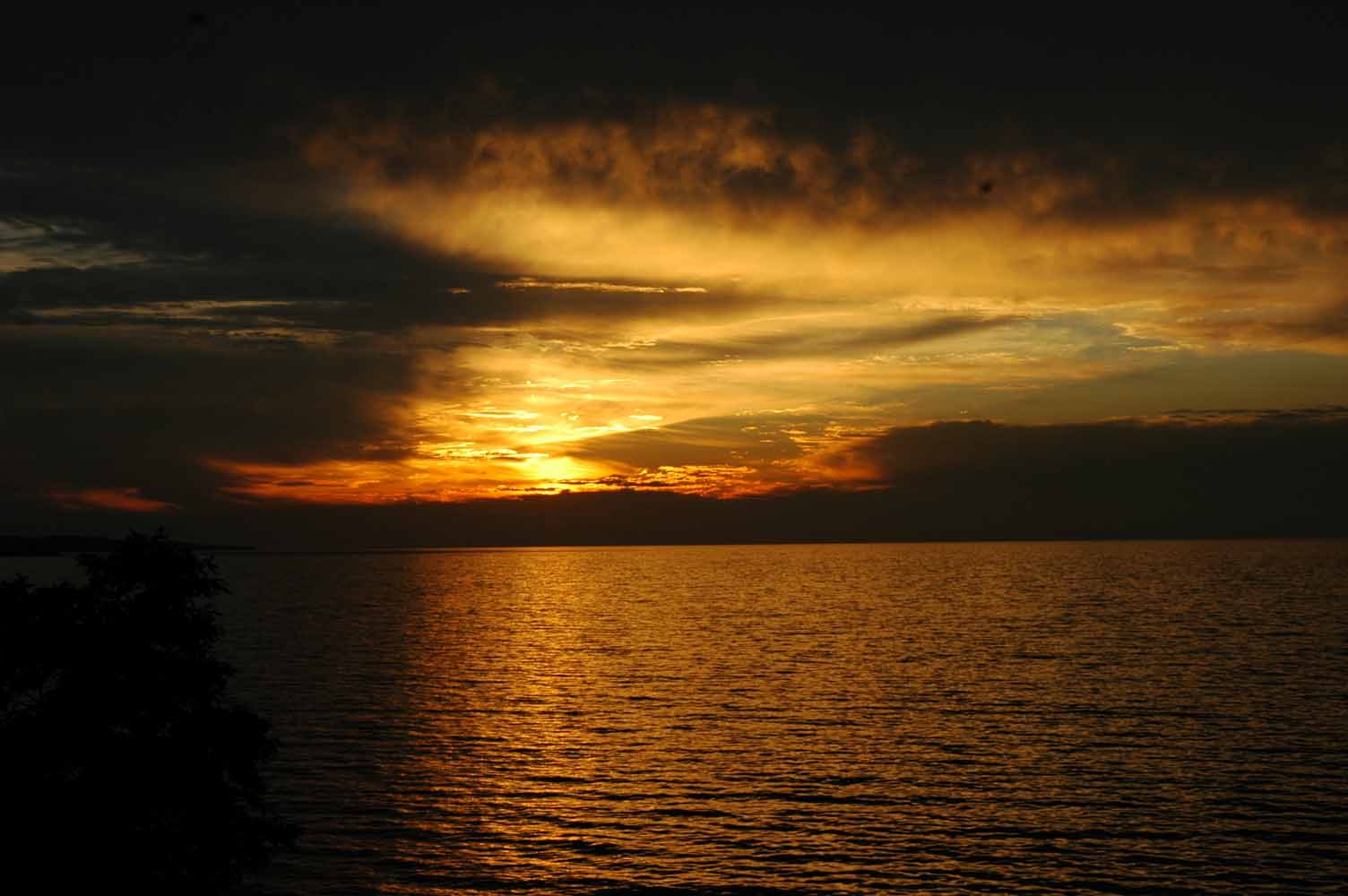
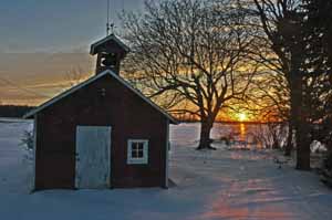
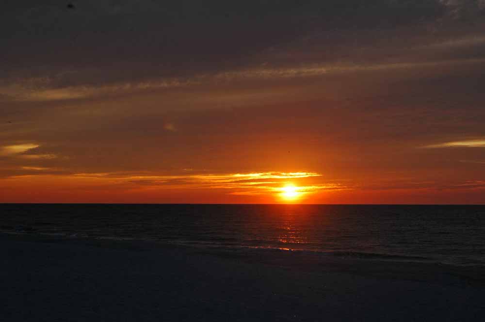
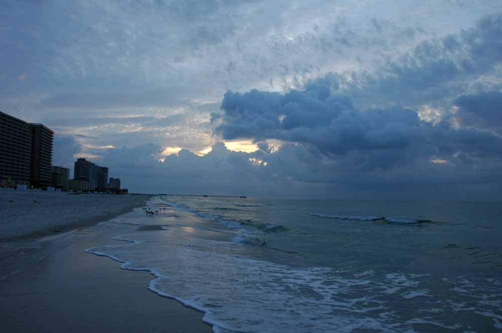
Sunrise with Rain
Sunrise with Rain
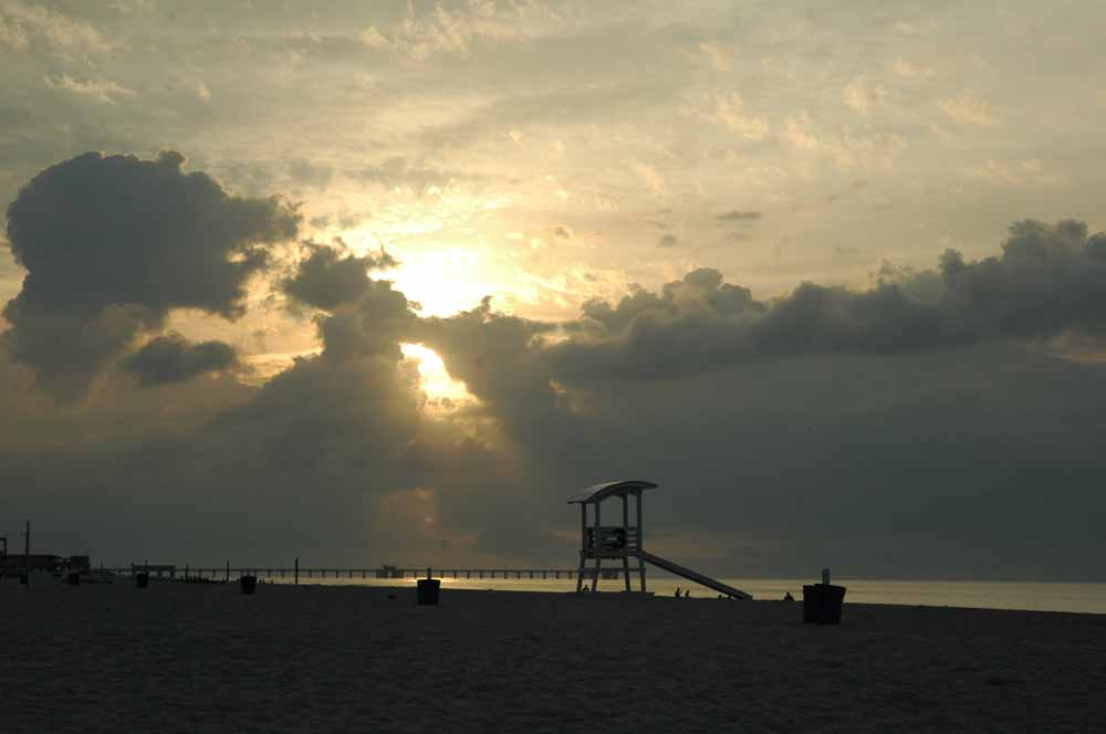
Sunrise with Fog
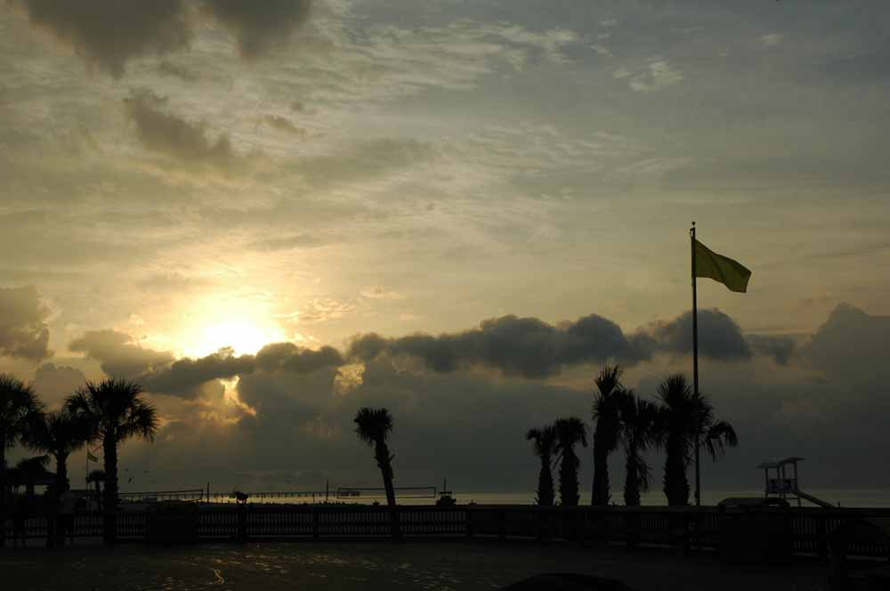
Of course those of you who know me…I love to get up early for those early morning photo opts. Lots of early morning walks on the beaches for sure… Living near the ocean the weather is never boring.
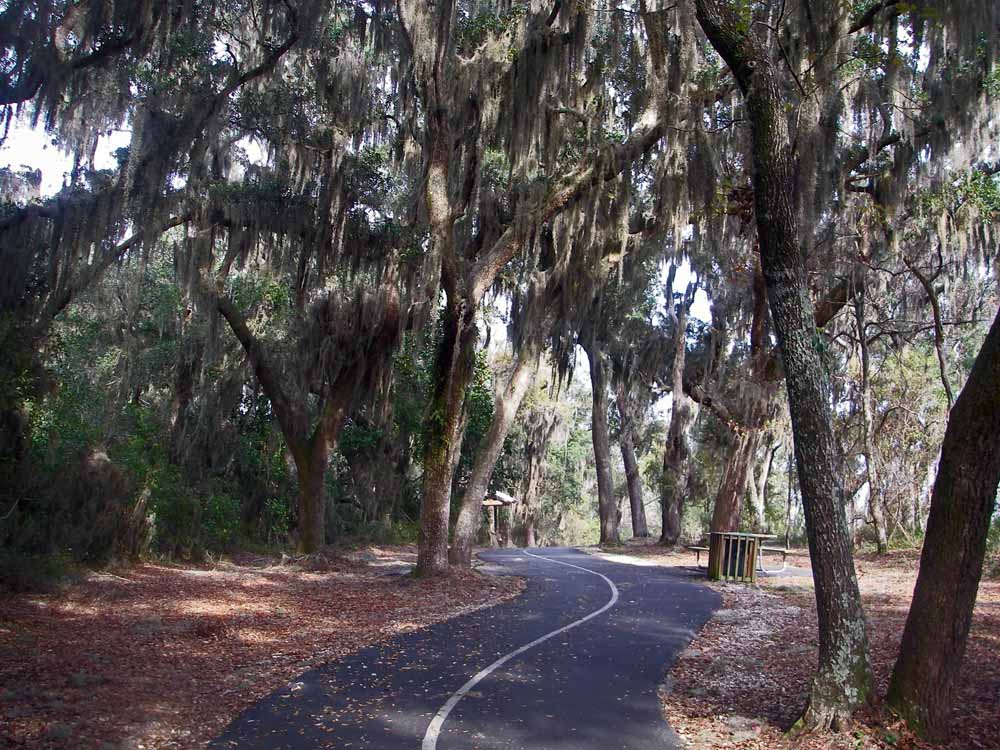
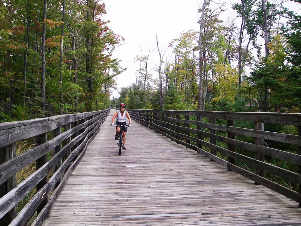
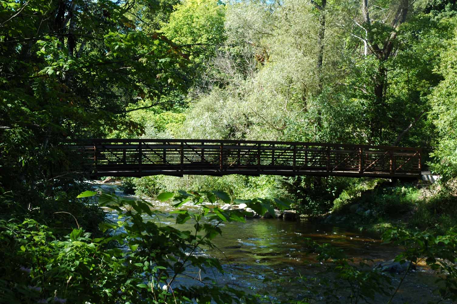
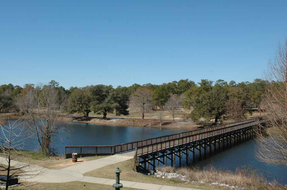
Bike Trail – State Park
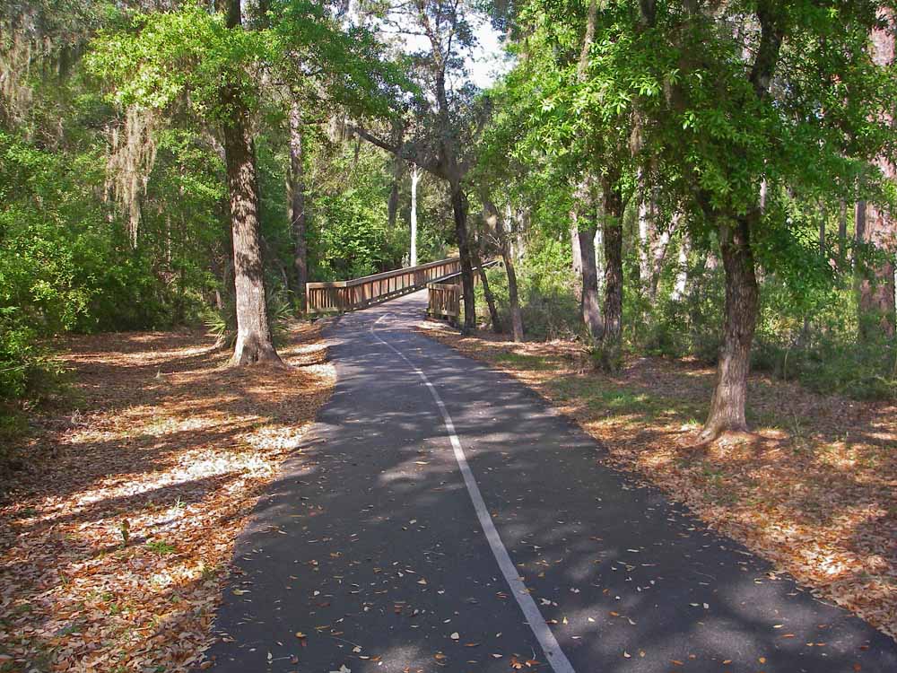
Bike Trail – State Park
State Park Trail
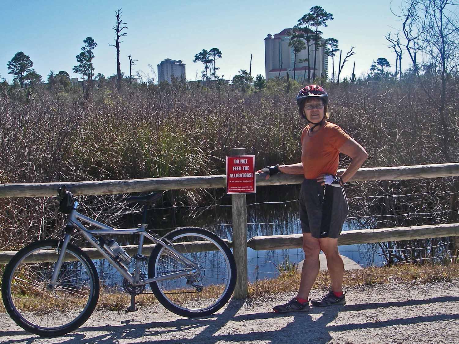
Bike Trail – Landmark
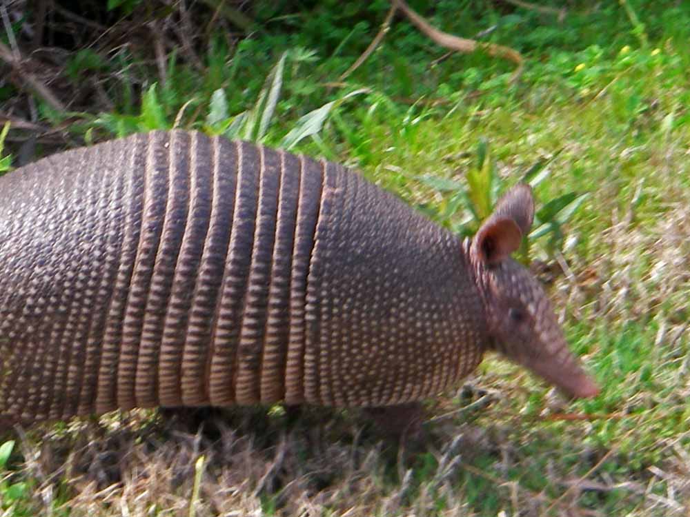
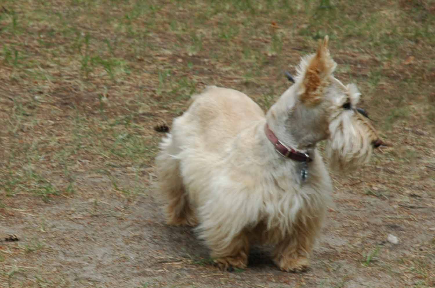
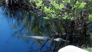
Locals call this Possum on the Half Shell
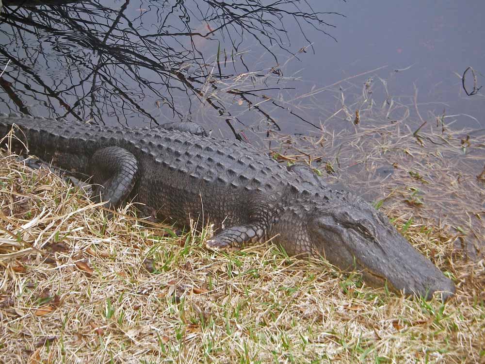
Bike Trail -This is Lefty
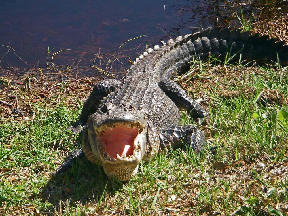
Lefty Protecting Her Offspring
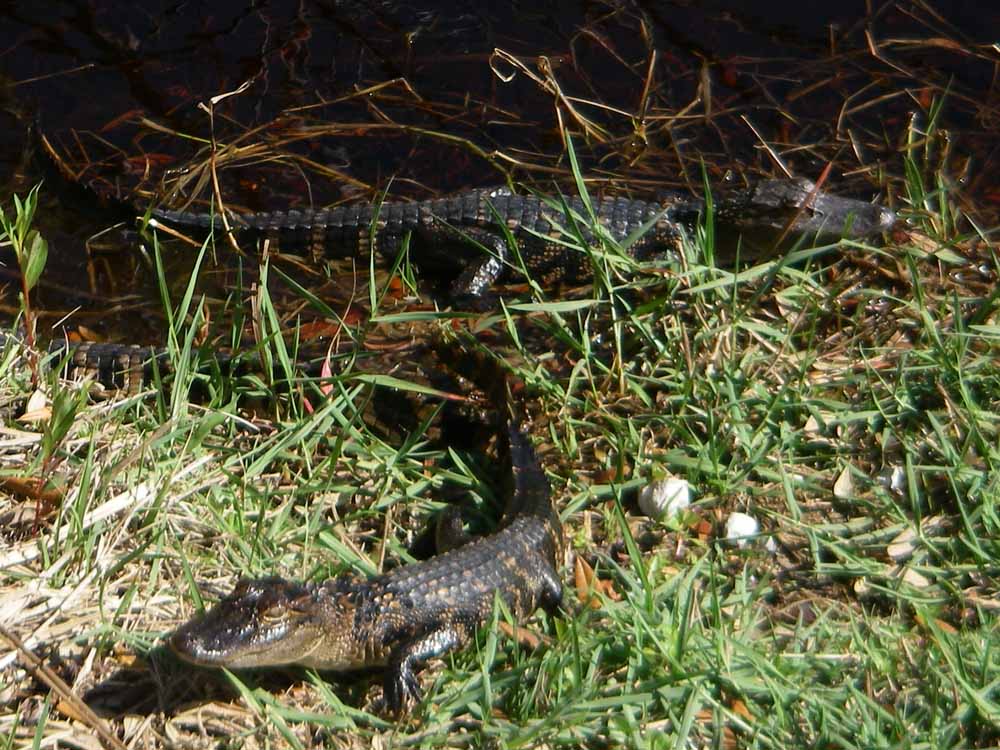
Lefty’s 2015 Hatch
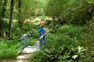
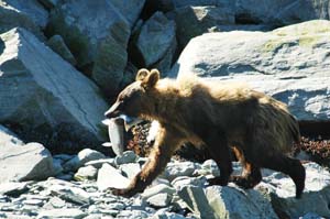
The bike trail is right out the front door. It connects with the State Park trail system plus the roads here are very bike friendly. New road bike is on the list for next year. Catching the wild life along the trail is much different than the mid-west. Many of you may have already heard of Lefty. Actually Lefty is the mother of two this year…there are also two hanging around from last year. She is called Lefty as she lost and eye and foot in a fight many years ago. Although she is not on Face book she does have lots of followers every day. However, it does not take much to entertain the retired folks who walk the trails to see her.
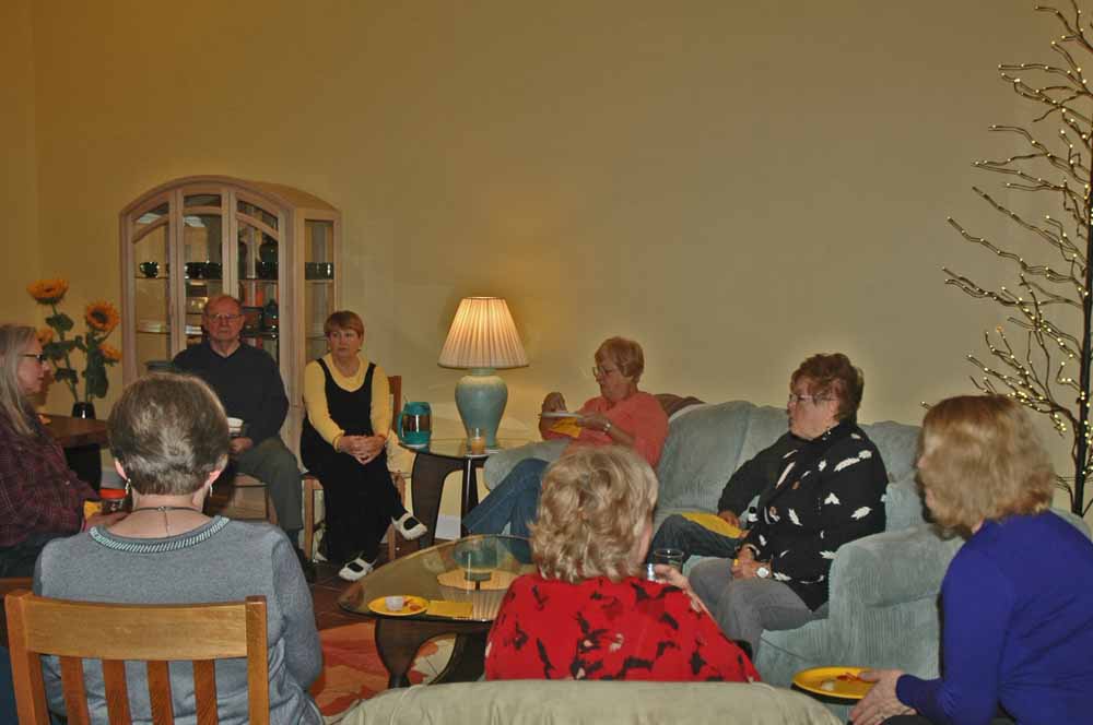
The Ridge – Pool Party Group
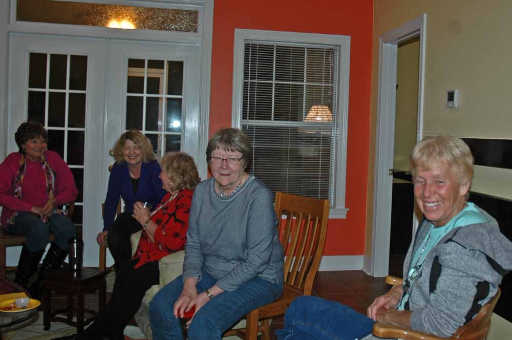
The Ridge – Pool Party Group
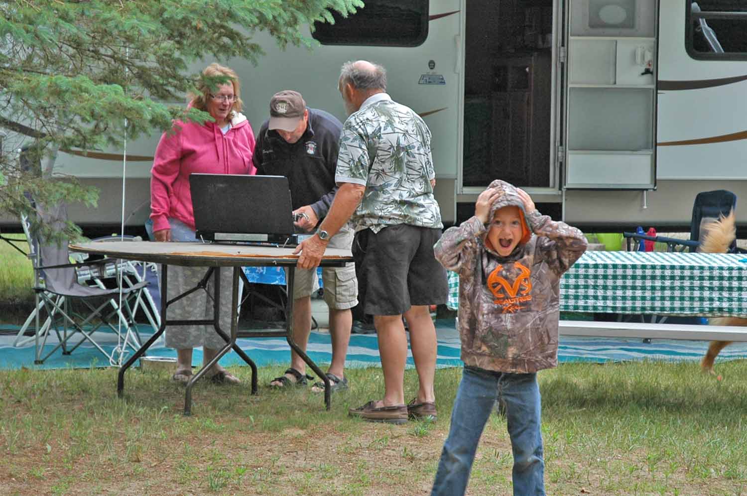
Every Friday at five is the standing get together at the pool for The Ridge residents. However once December comes, the group is not that hearty and moves inside. Hosting this event gave us a chance to show off our new digs.
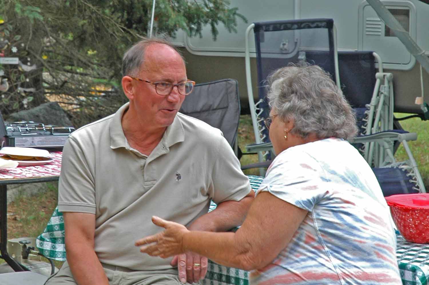
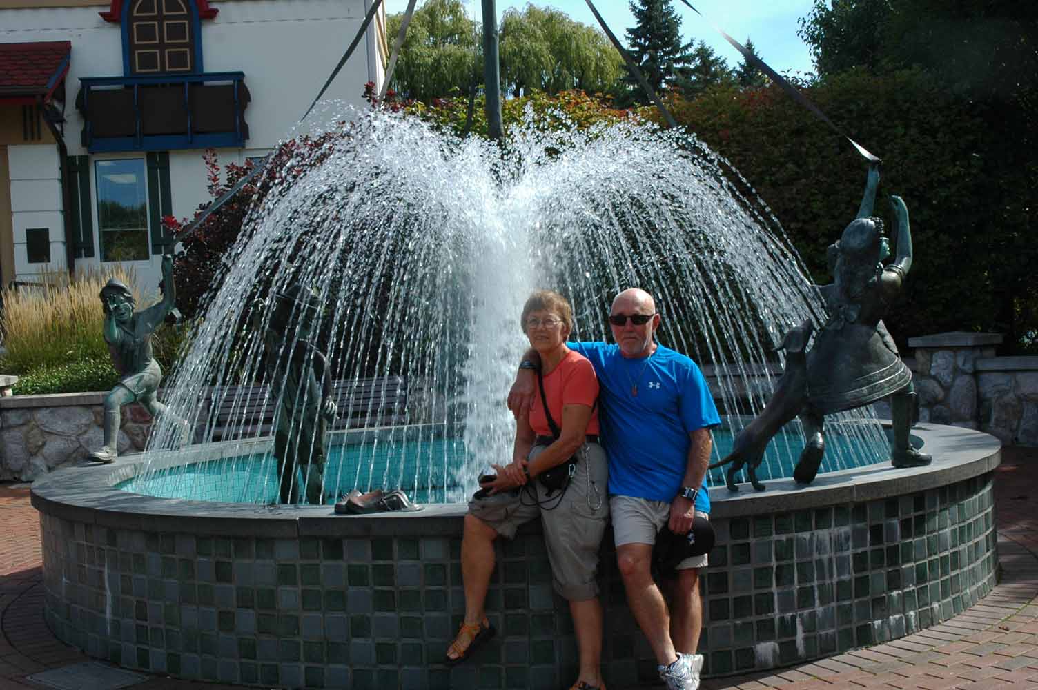
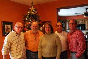
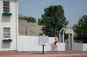
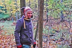
Uncle Larry (Shimer) – Visit
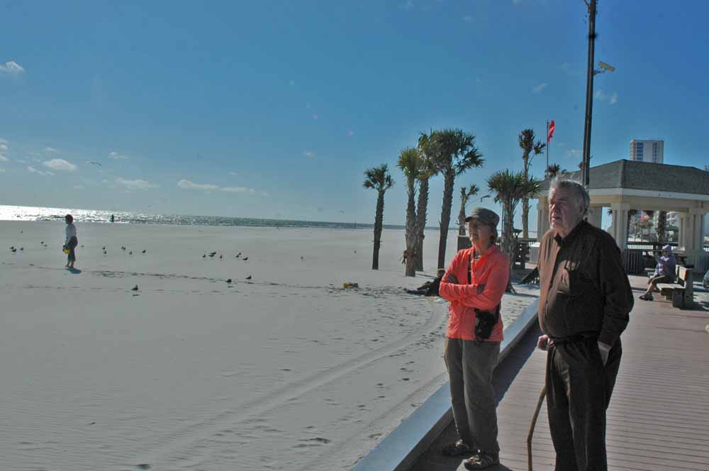
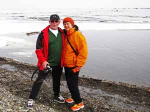
Larry and Jan on the Beach
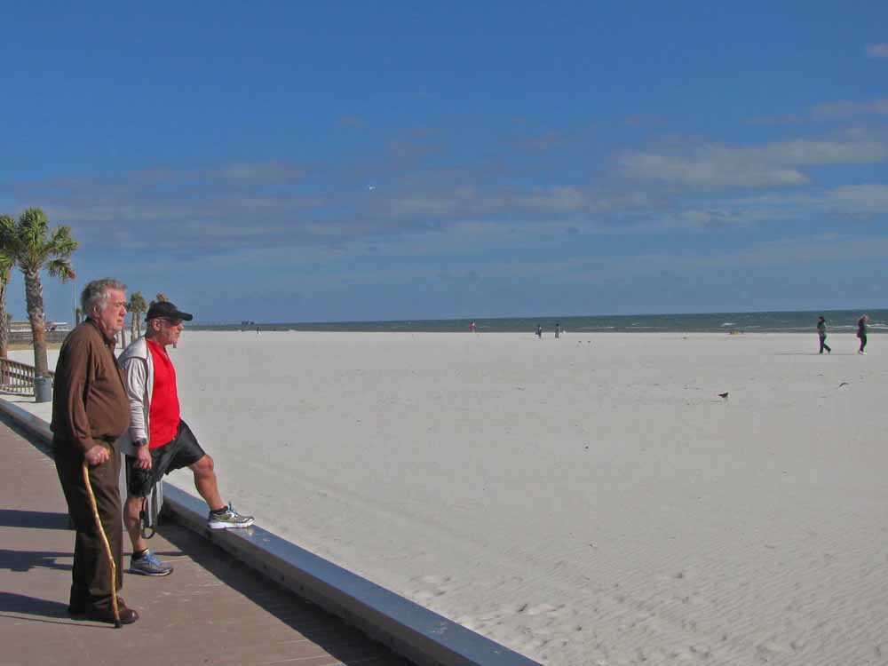
Larry and Larry Enjoying the Sights
Illeana and David at Billy’s Seafood
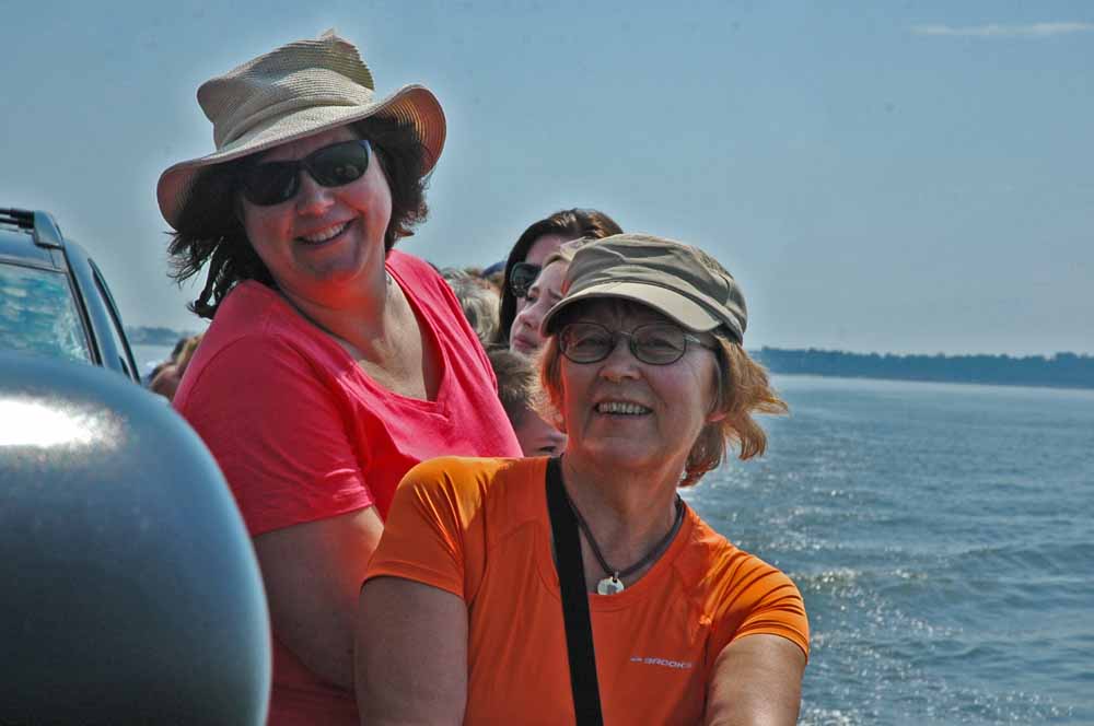
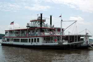
Ileana and Jan – Ferry to Daulphin Island
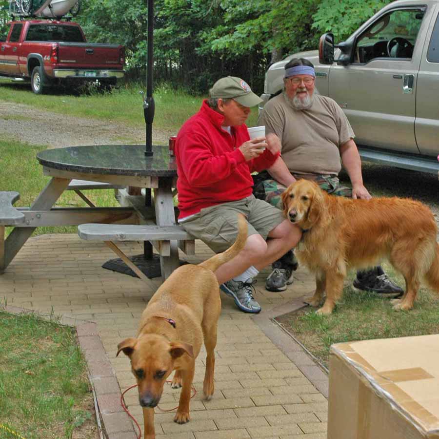
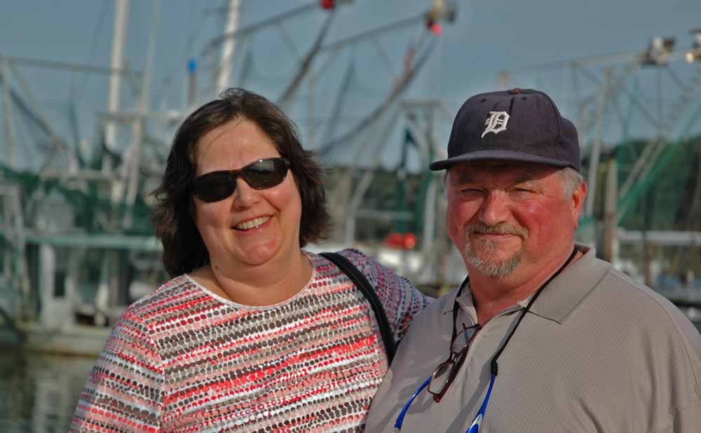
There were visitor from the North. Jan’s brother in-law (Larry) and my cousin (David and his wife Ileana) stopped to see us this winter. Tom and Karen Sabin (an Interlochen work colleague) came for lunch one day on their way from Florida to New Orleans. Visitors give us the opportunity to tour the region and we are hoping more show up next year to continue the exploration.
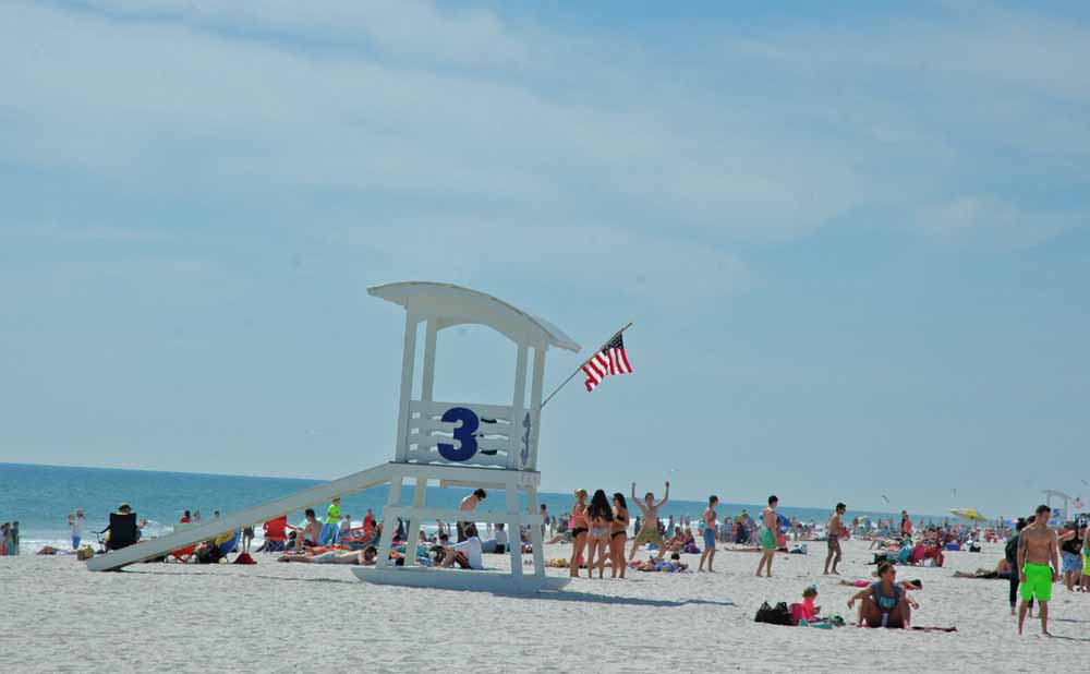
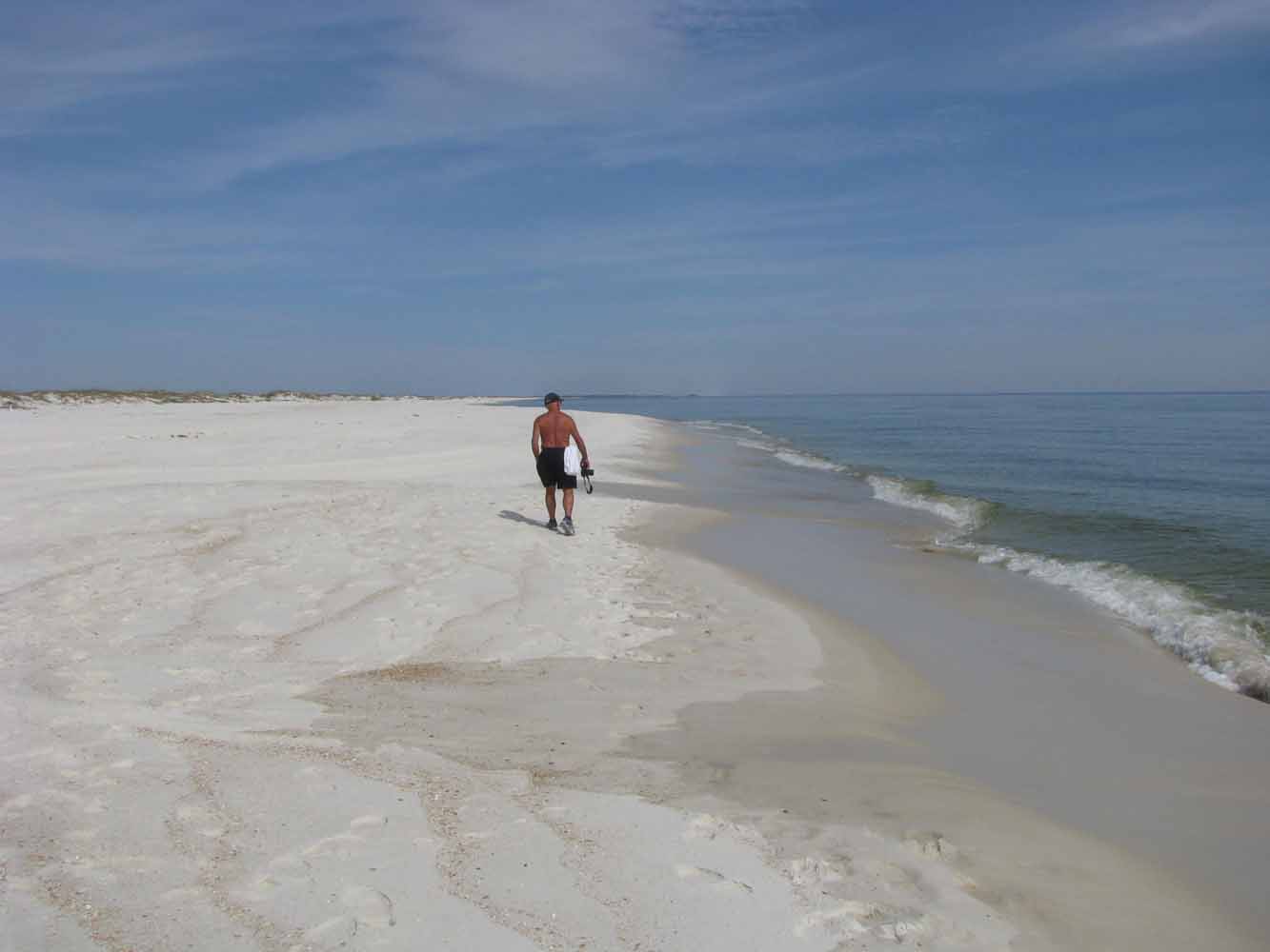
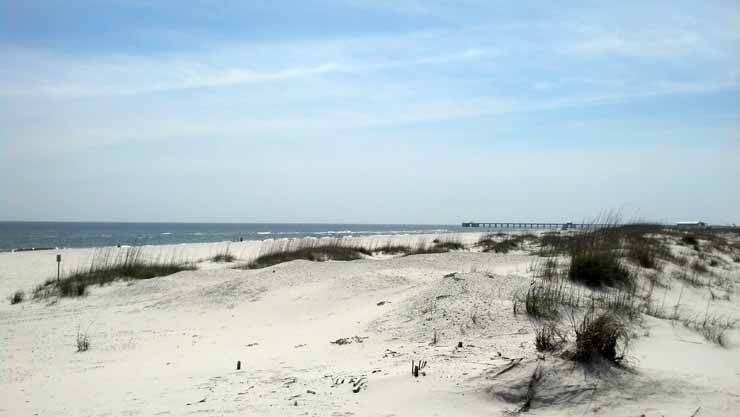
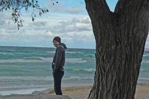
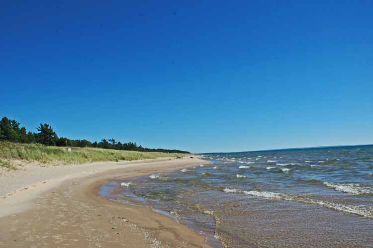
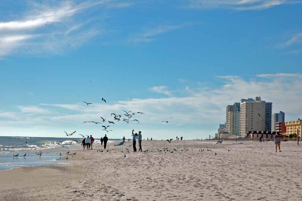
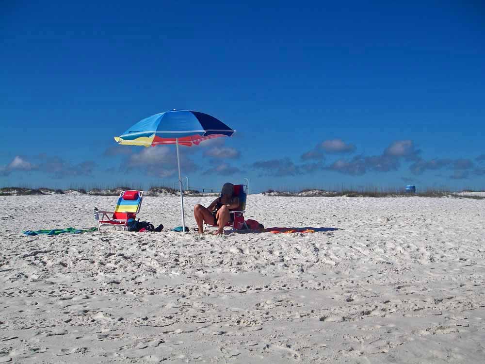
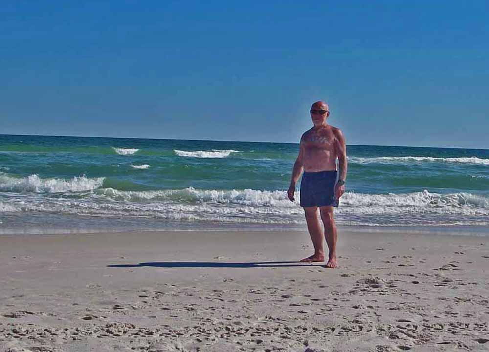
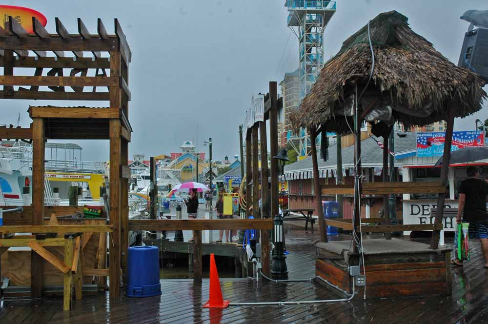
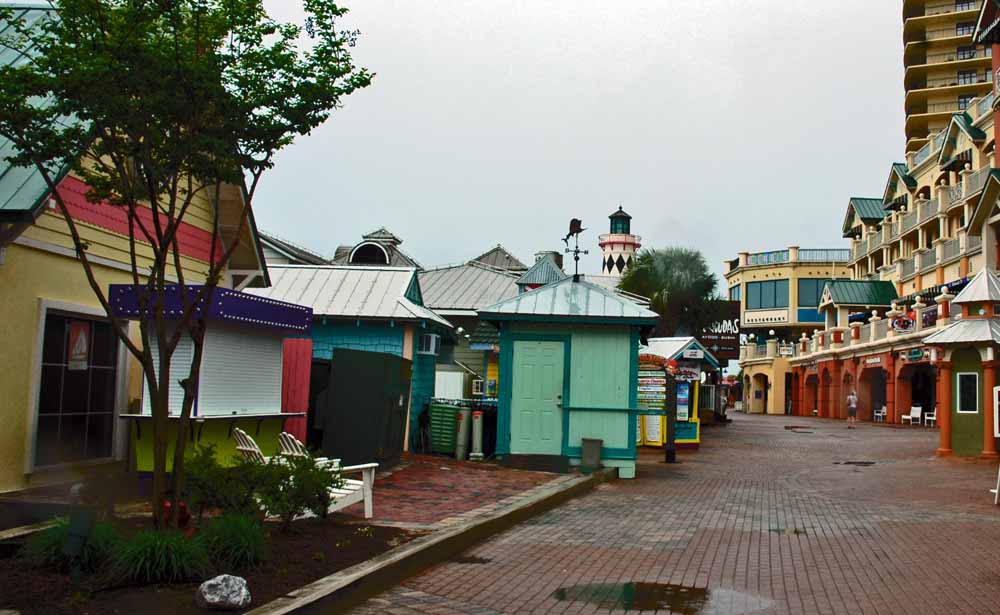
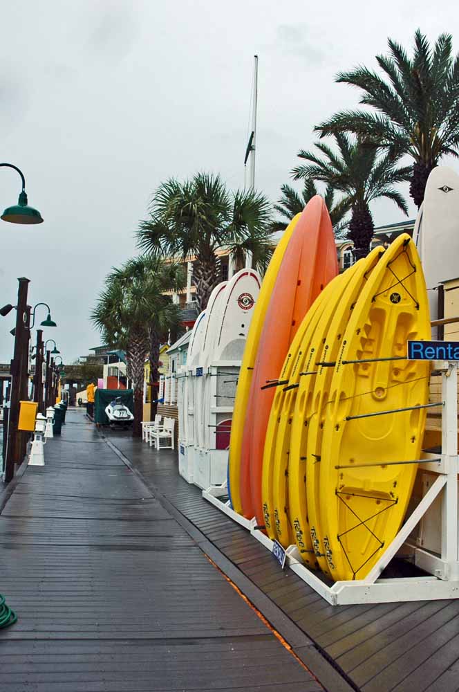
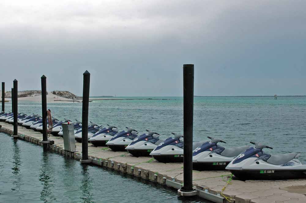
Gulf Shores Beach
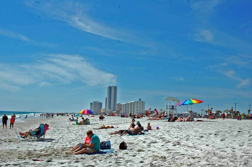
Gulf Shores Beach

Fort Morgan Beach
Gulf Shores State Park Beach
Gulf Shores State Park Beach
Being less than two miles to the beach gives new meaning to a day at the beach. We tried out lots of different beaches and the favorites are emerging. …of course there are pictures!
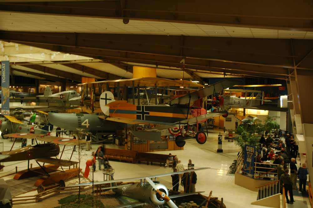
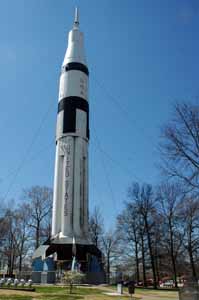
Naval Aviation Museum
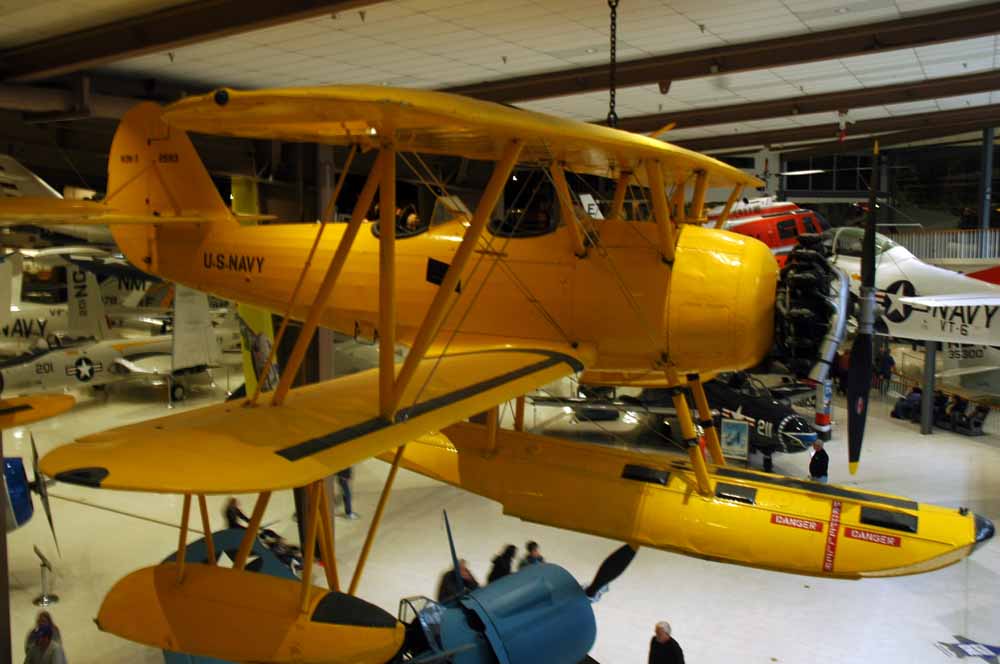
Naval Aviation Museum
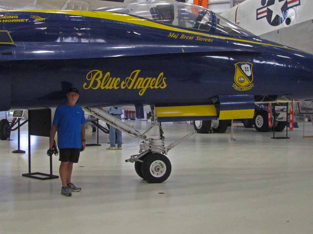
Naval Aviation Museum – Larry
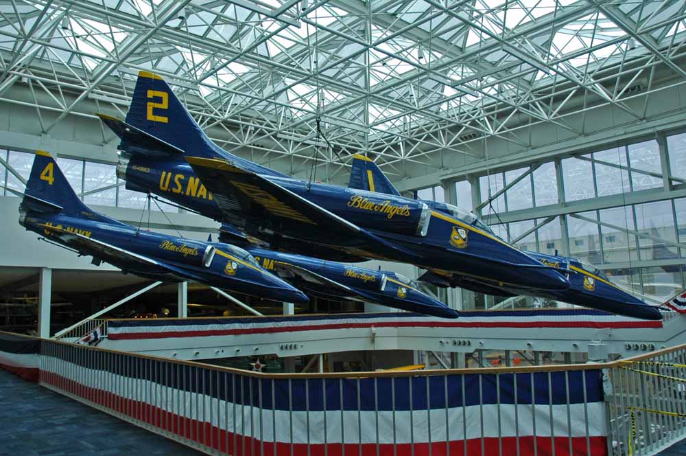
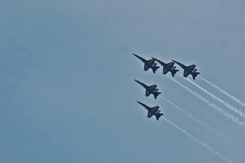
Naval Aviation Museum
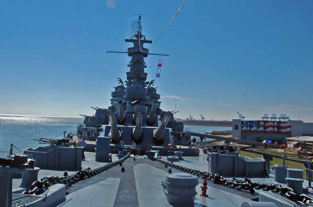
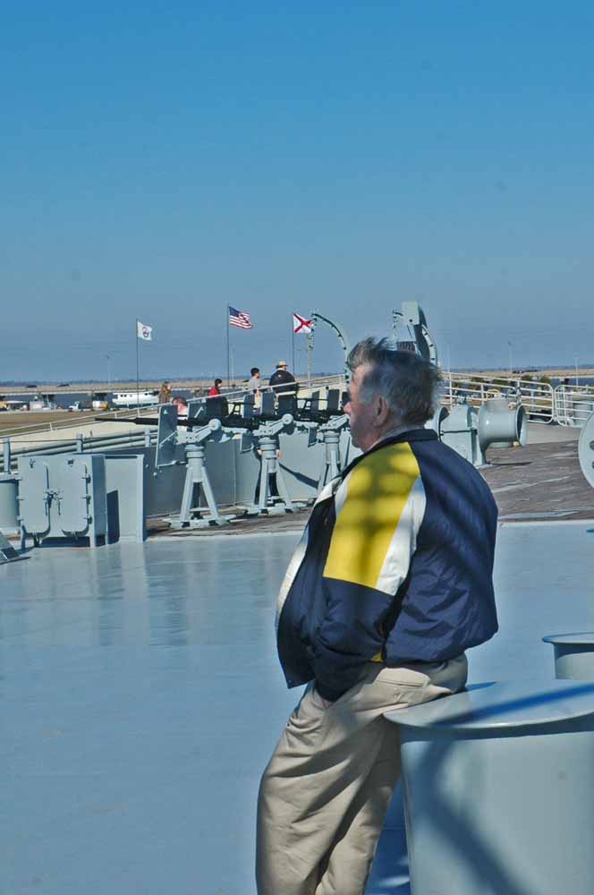
USS Alabama at Mobile
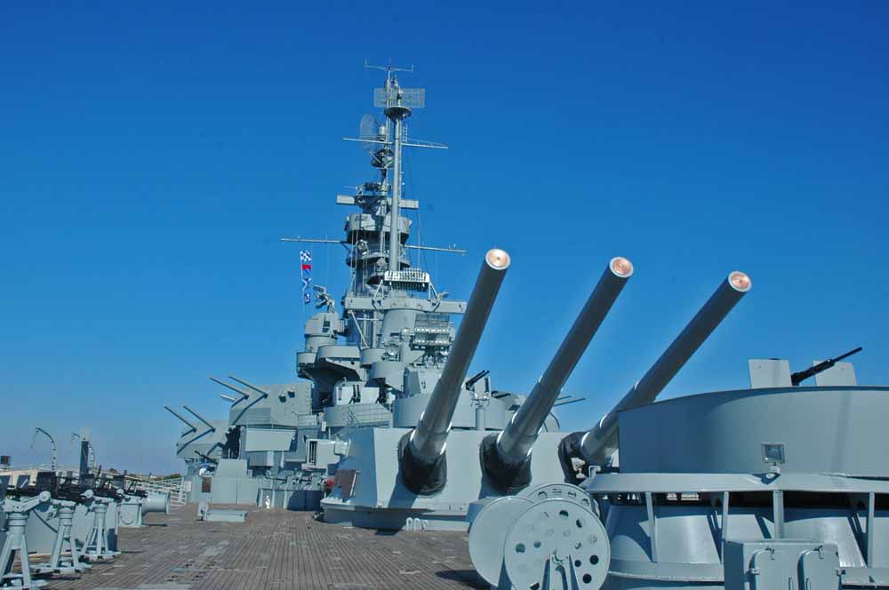
SS Alabama at Mobile
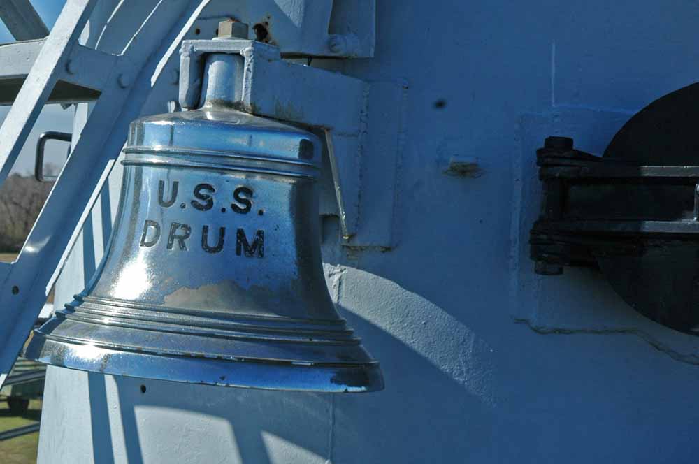
Submarine at Mobile
Two or our favorite and really interesting places are the National Naval Aviation Museum in Pensacola and the USS Alabama in Mobile. It is easy to lose a day at each one. Pensacola is home base for the Blue Angels. It worked to see their first show of year after returning from their winter home in California.
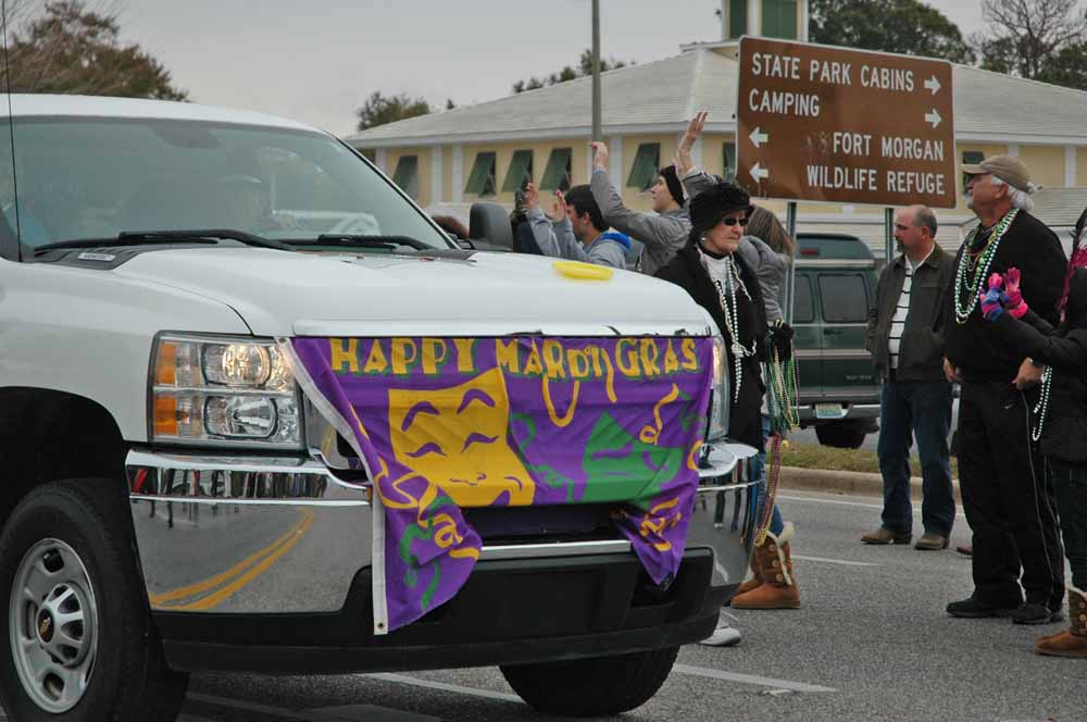
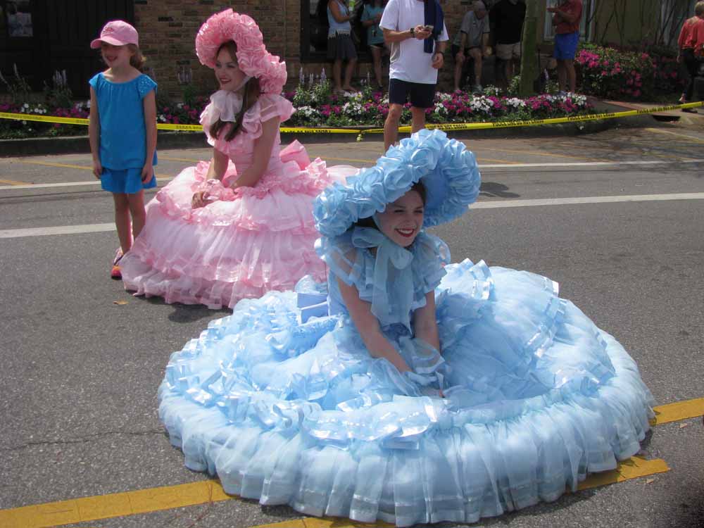
Mardi Gras – Gulf Shores
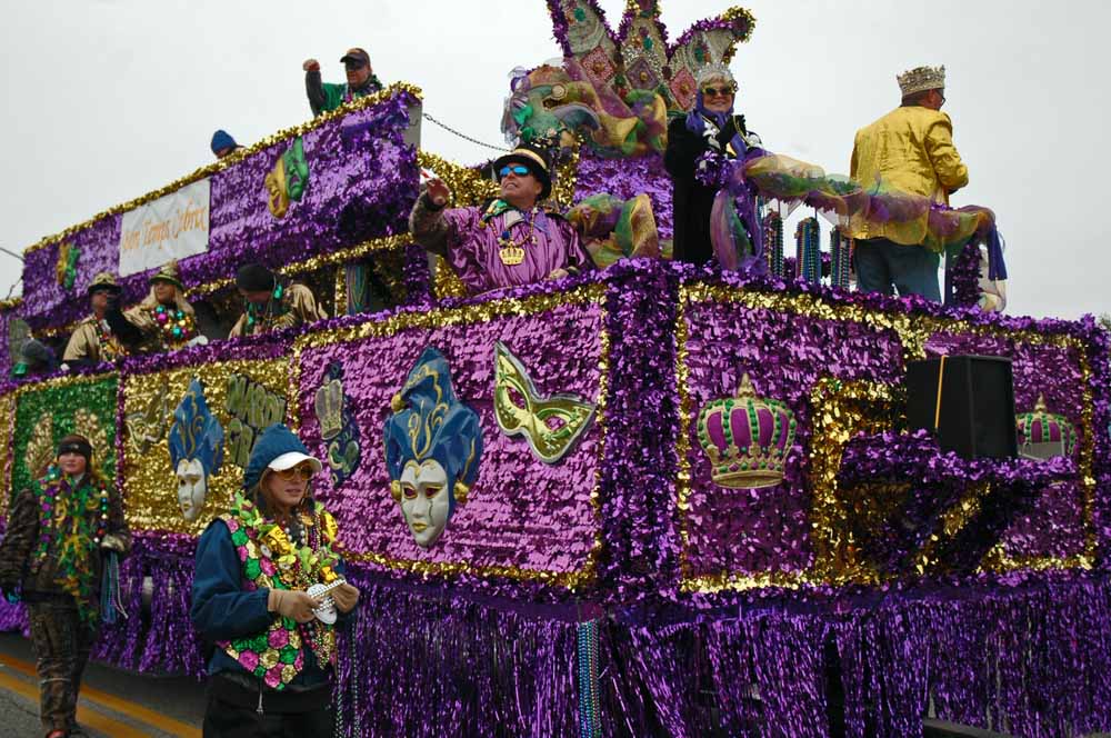
Mardi Gras – Gulf Shores
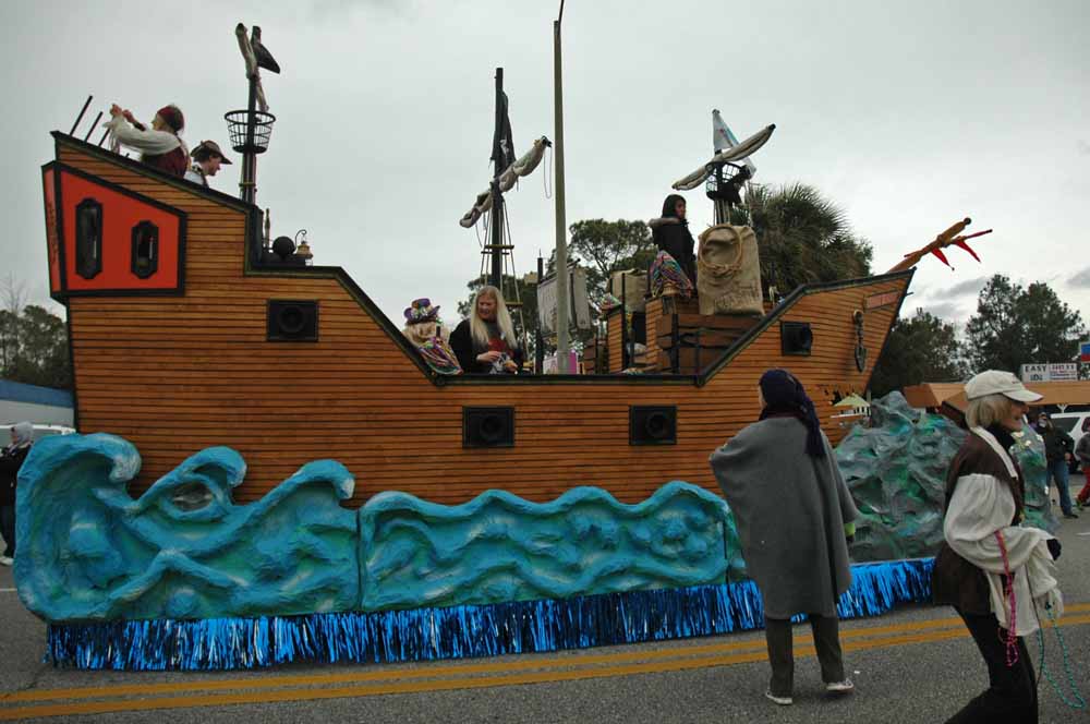
Mardi Gras – Gulf Shores
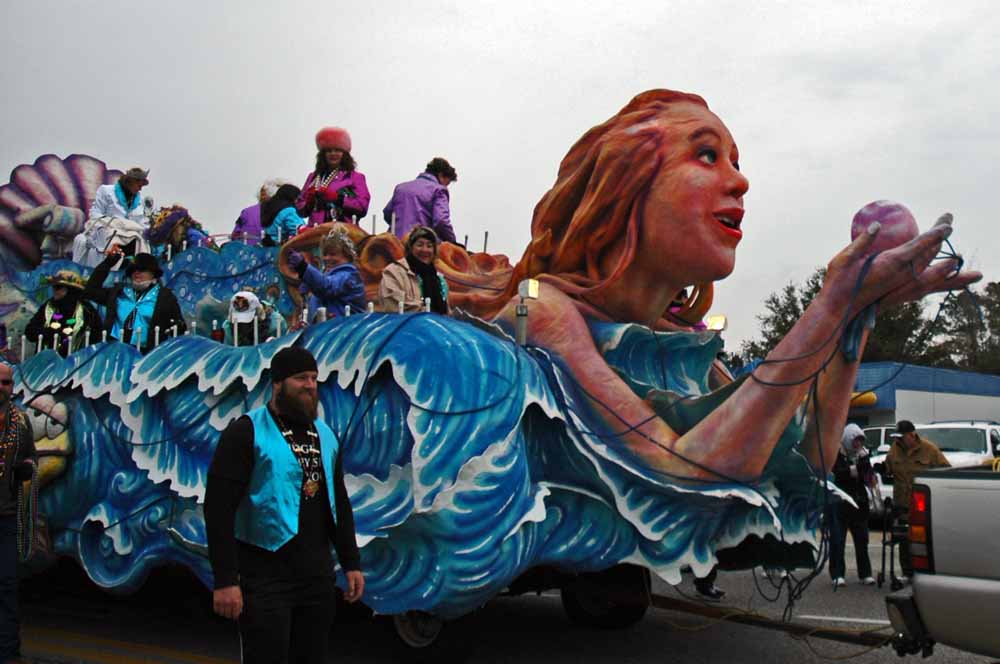
Mardi Gras – Gulf Shores
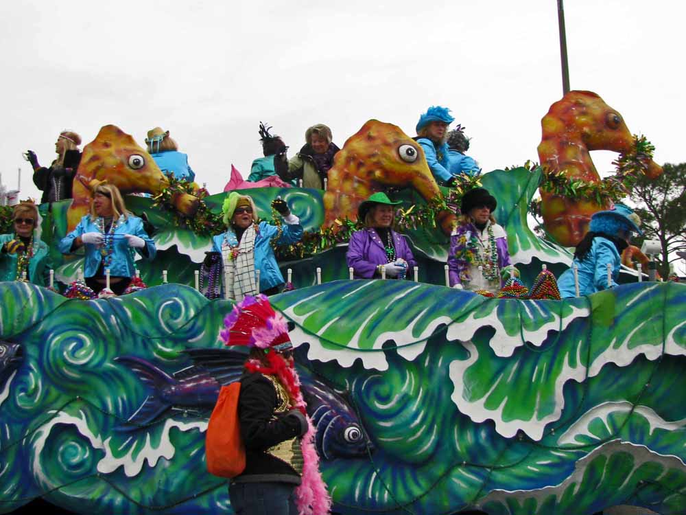
Mardi Gras Gulf Shores
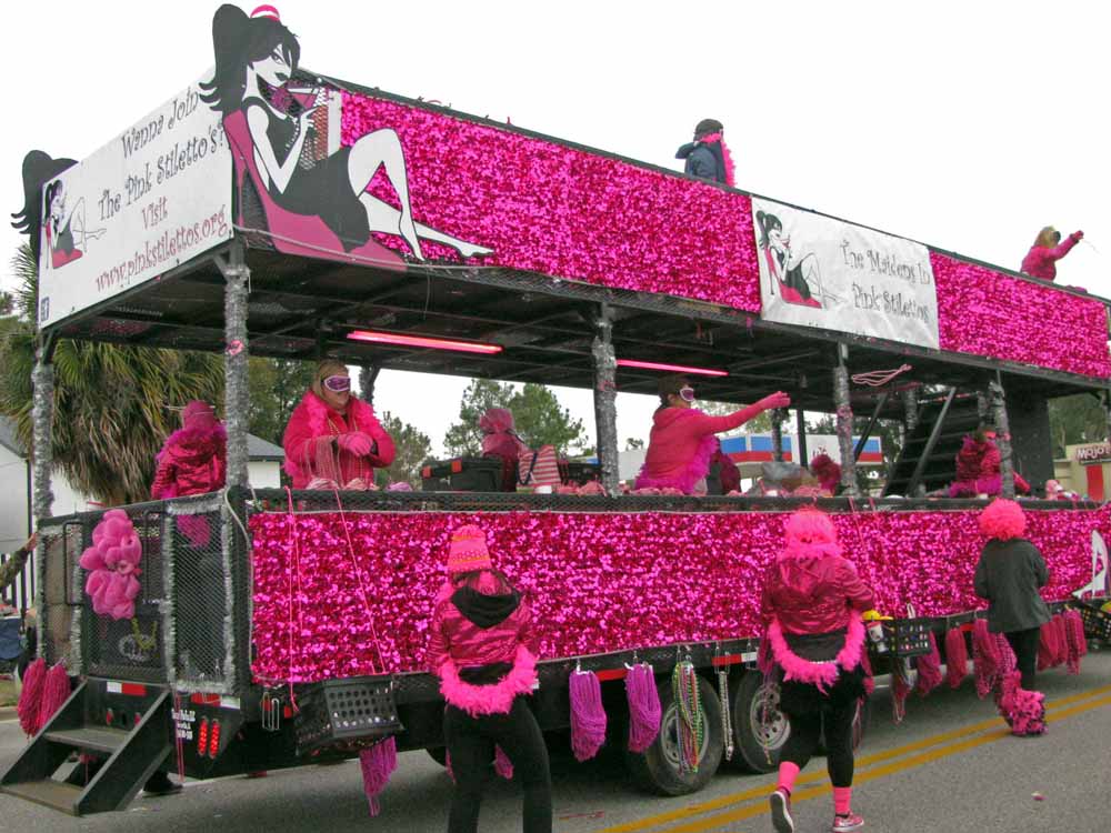
Mardi Gras Gulf Shores
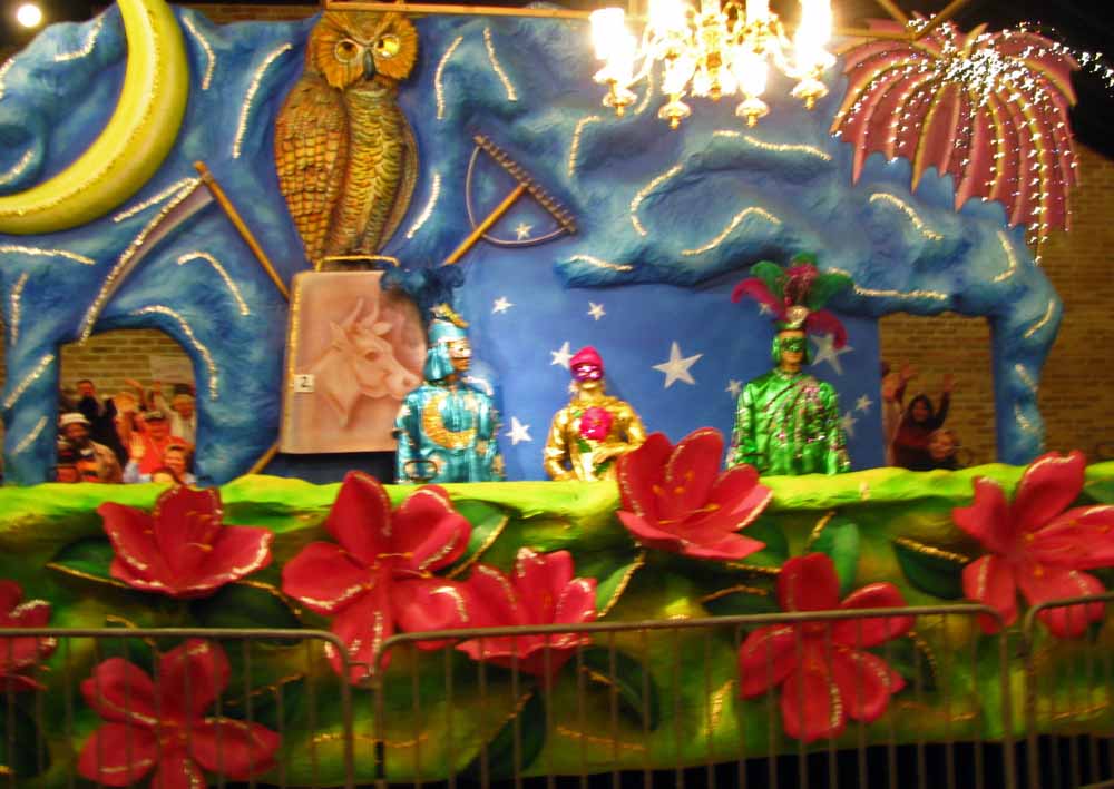
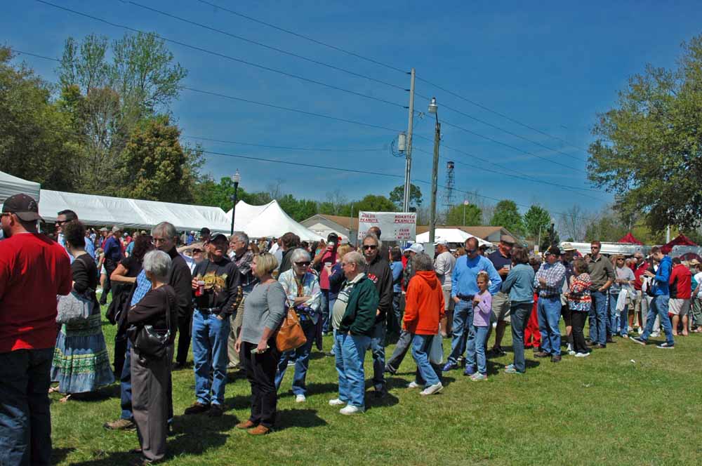
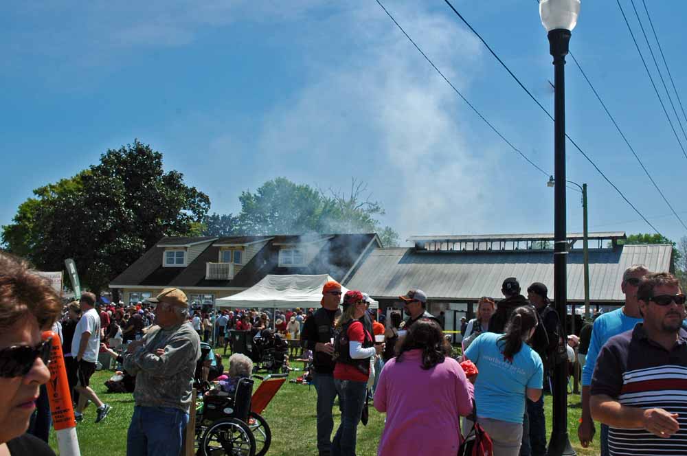
Gulf Shores has a nice Mardi Gras parade. Great experience for sure… Many of the communities here have parades. Schools here actually close for the week to take part in the celebration.
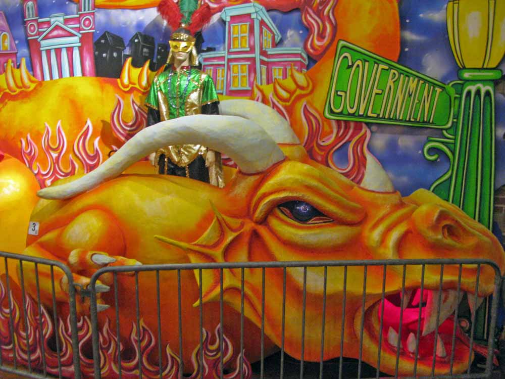
Mardi Gras Carnival Museum (2)
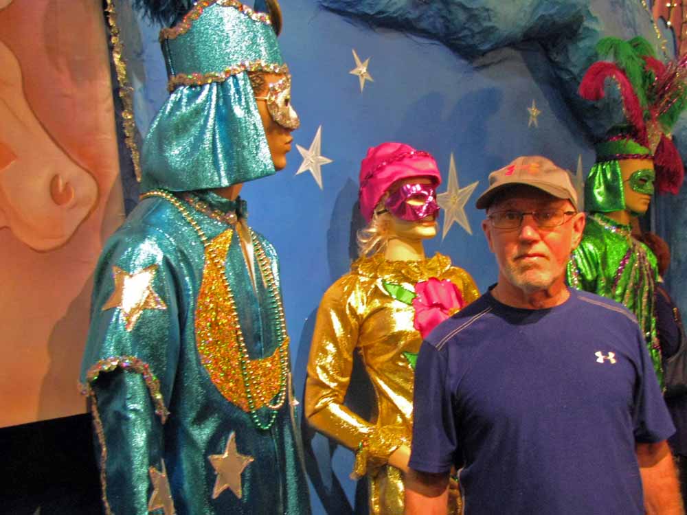
Mardi Gras Carnival Museum (3)
Mardi Gras Carnival Museum (4)
Mardi Gras Carnival Museum (5)
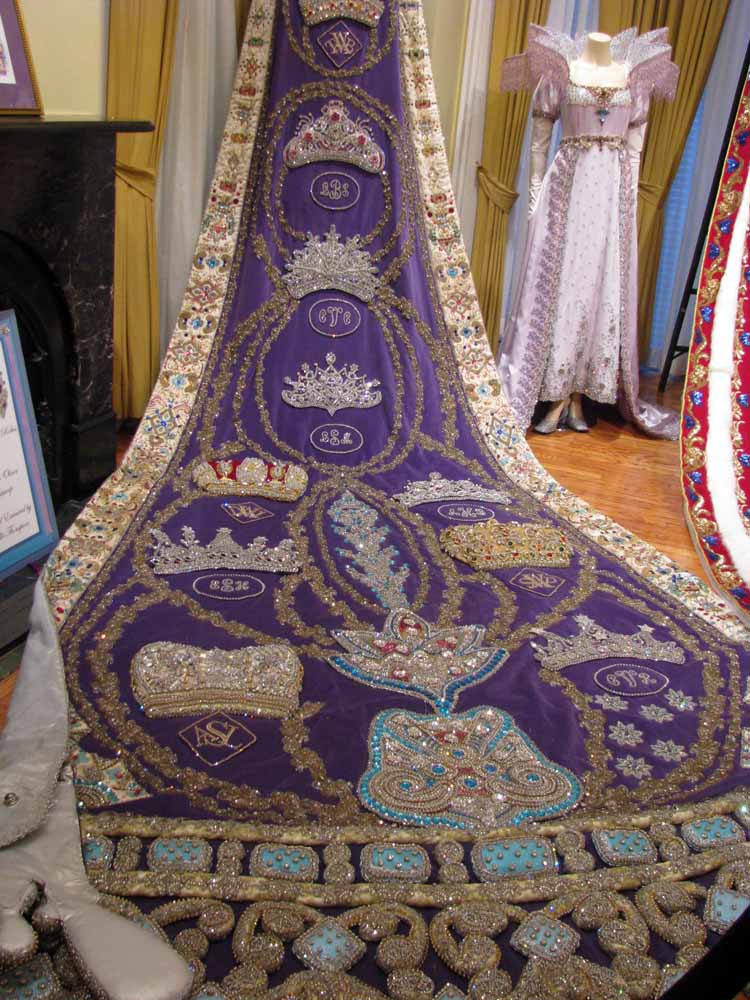
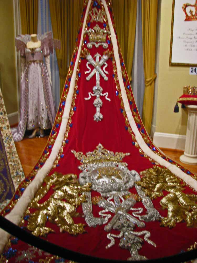
Mardi Gras Carnival Museum
Mobile Museum of Art
Mobile Museum of Art
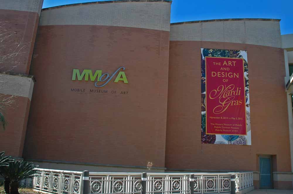
Mobile claims they started the Mardi Gras celebration in the South. However New Orleans has stolen the show from them. Lots of “old” Mobile money still supports the effort. However there is a new movement trying to upstage the “old” style celebration. We took on learning all we could about the celebration. The Carnival Museum was key resource for us. Their theme is just the Mardi Gras. It is educational, has a strong historical perspective as well as impressive exhibits. This year the Mobile Museum of Art had outstanding exhibits as well. Pictures included…
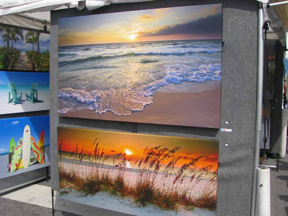
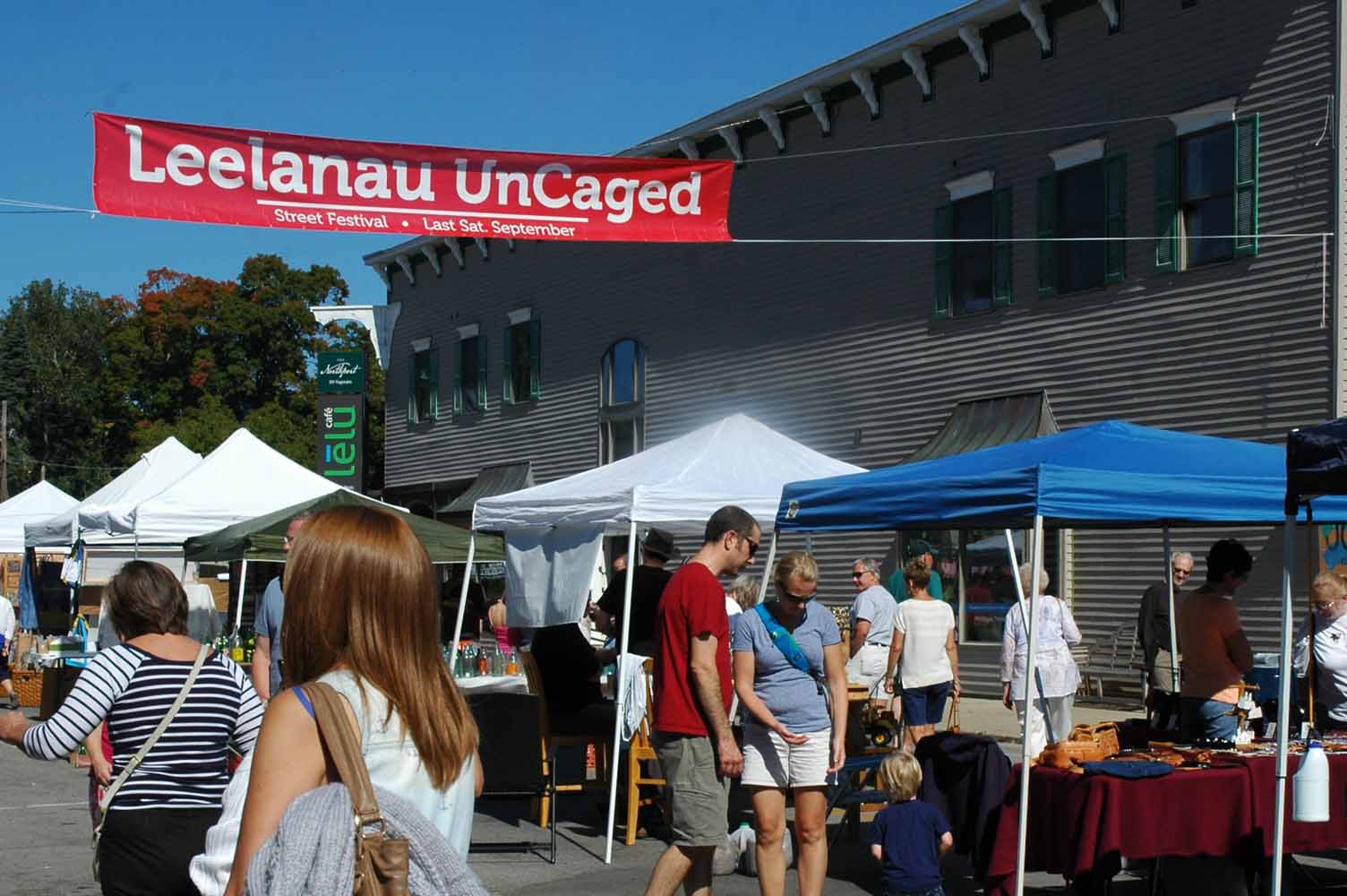
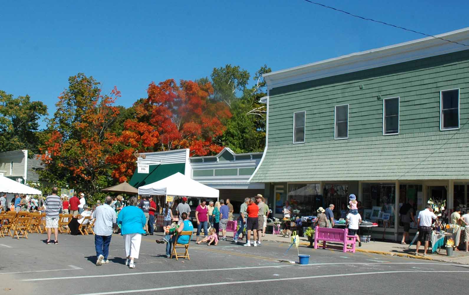
Fairhope Art Show
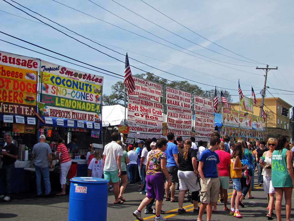
Fairhope Art Show – Food Court
Fairhope Art Show

Fairhope Art Show
Destin Florida Waterfront
Destin Flordia Waterfront
Destin Florida Waterfront
Destin Florida Waterfront
Elberta German Sausage Festival
lberta German Sausage Festival
Whenever we could we caught local festivals plus lots of touring along the coast and nearby towns. The Fairhope Arts Festival was huge…hundreds of booth. The food was outstanding…see the photo for the menu. Fairhope is a favorite hang out for us with lots to do and plenty of places to eat and drink. During Spring Break time we headed down the Florida coast. The last stop was Destin, a great place to have some fun. We stopped short of Panama City where many of the Spring Breakers hangout. Our last festival was the Sausage Festival in Elberta. Would you believe I stood in line for almost an hour to experience their famous offering. It was worth the wait plus you did get to know those standing near you.
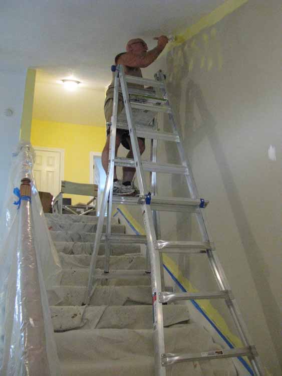
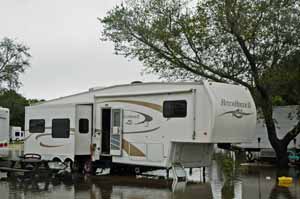
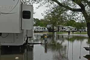
This is What We Left Behind
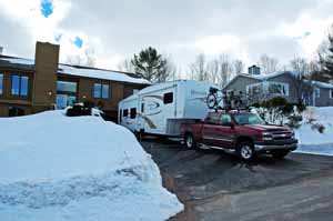
Packing for the New RV
On the Way North
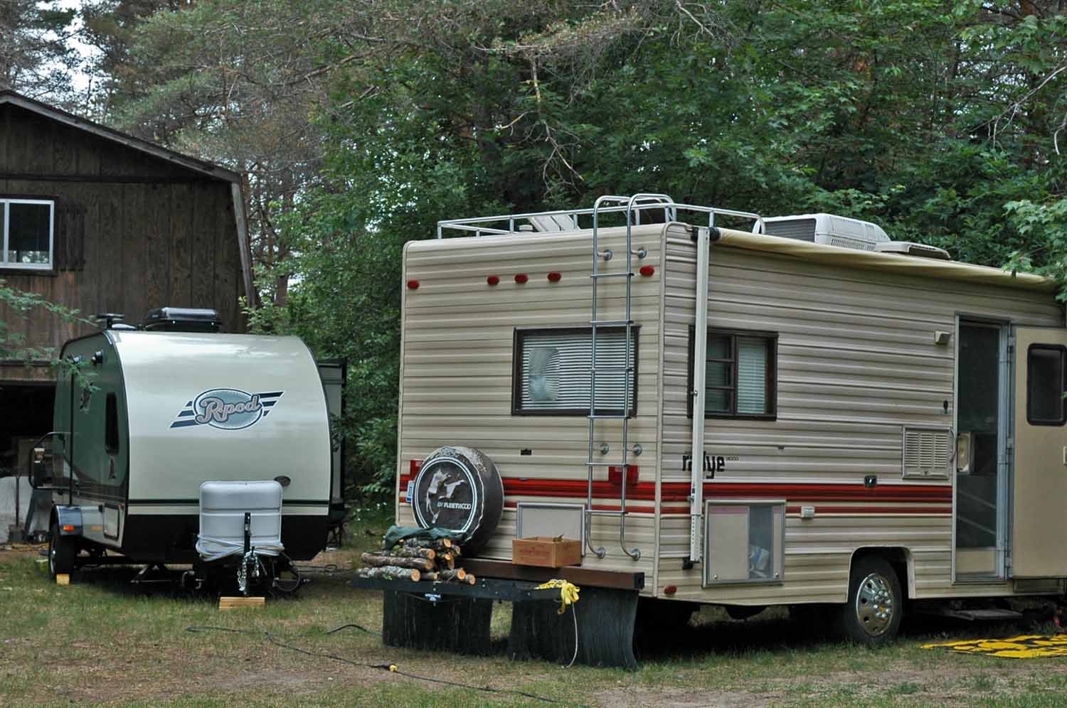
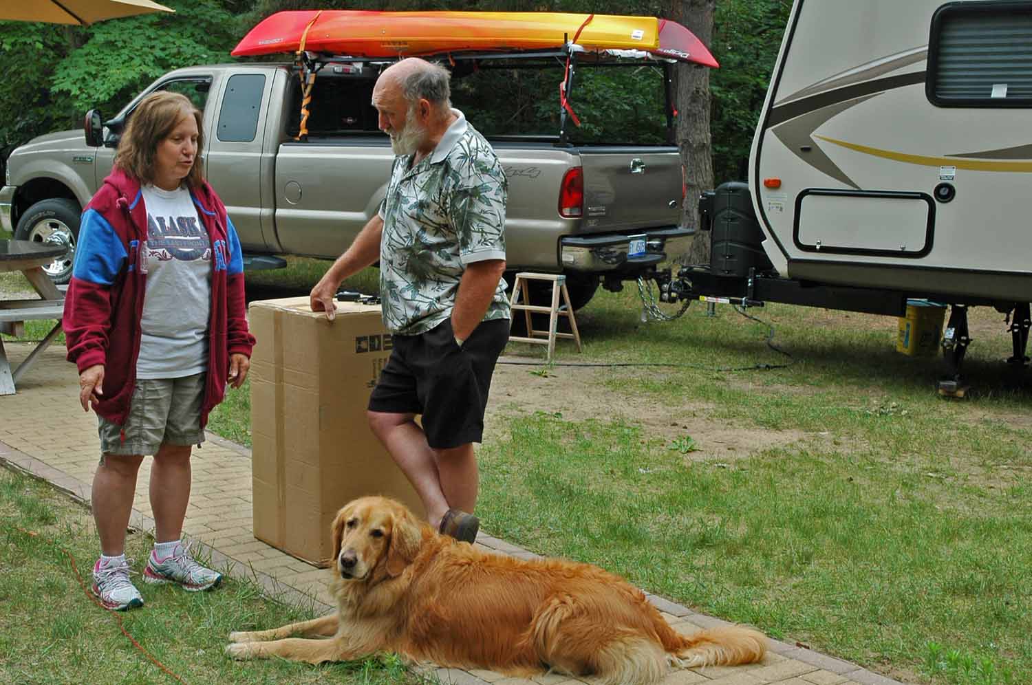
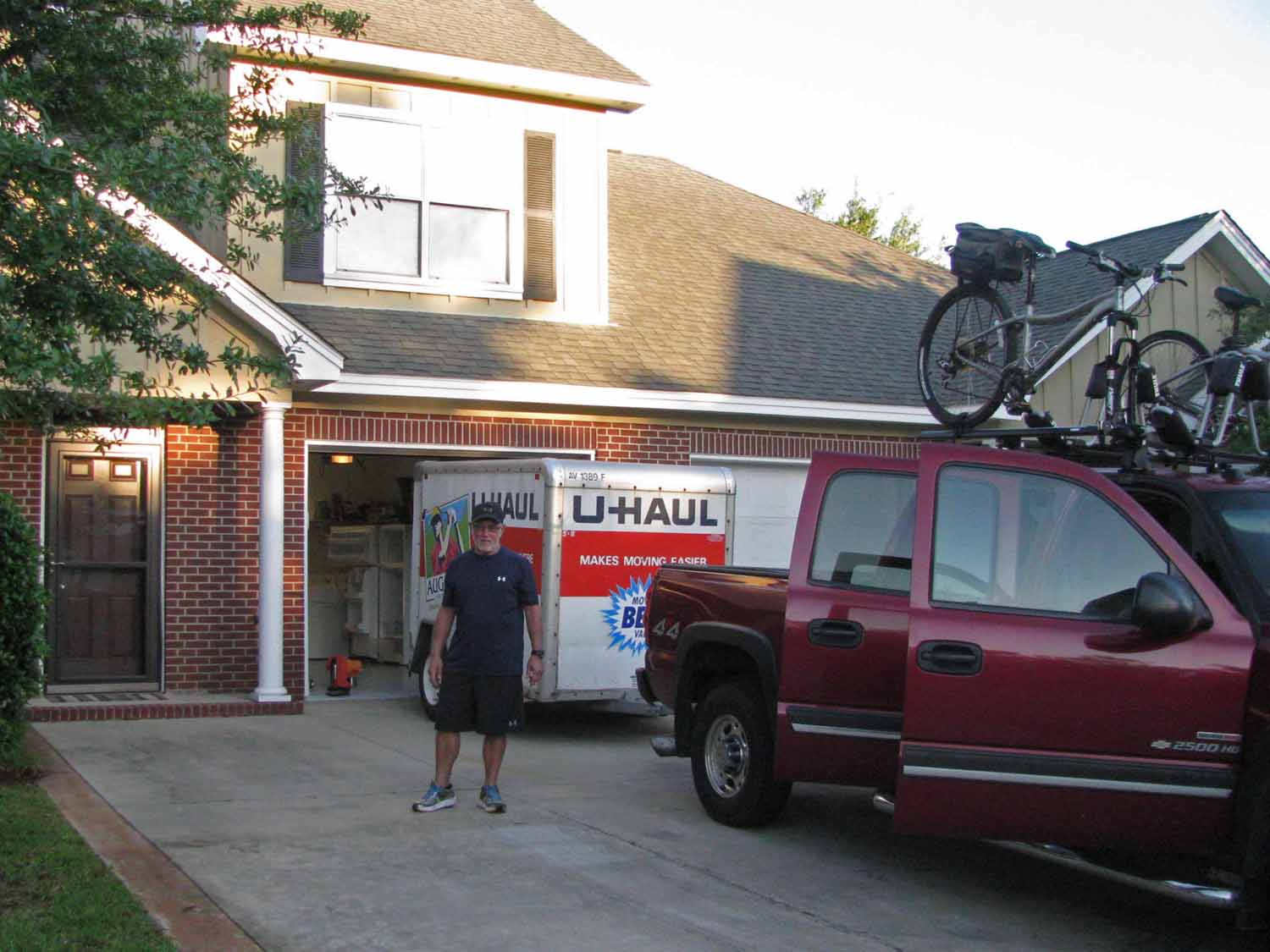
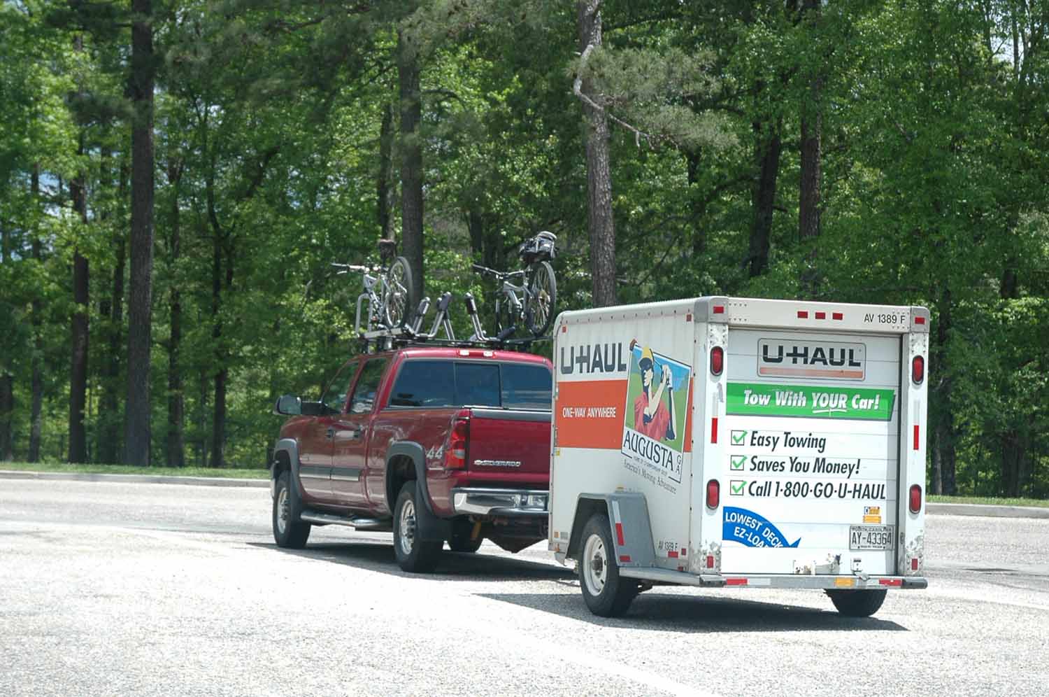
The time on the coast ended on a good note with 80 degree temps and moderate humidity. The fallout from selling the RV last fall was lots of “stuff”. We had to rent a storage unit. There was also a load of tools brought for the one time renovation project. Getting everything back to Michigan was also complicated by the purchase of a new RV to be picked up in Hamilton, Ohio near Cincinnati. So as we pulled out for the trip back the truck was full as well as a tag along U-haul trailer. The plan was to transfer the “stuff” in the trailer into the new RV.
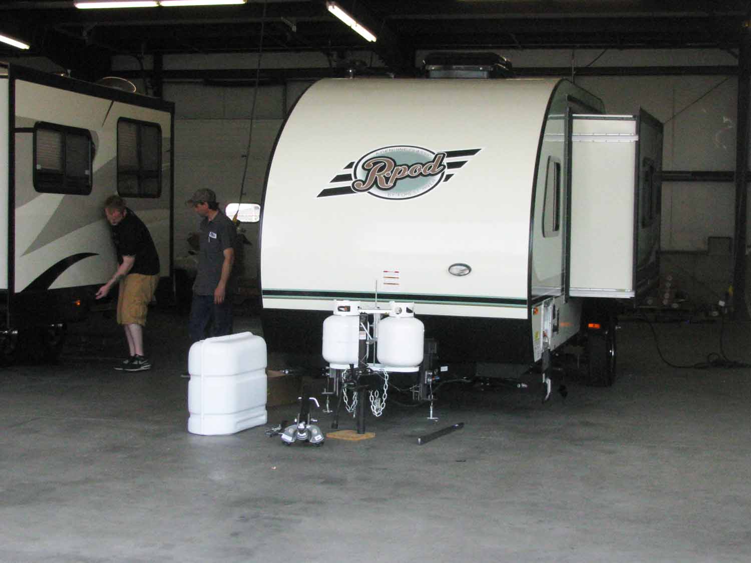
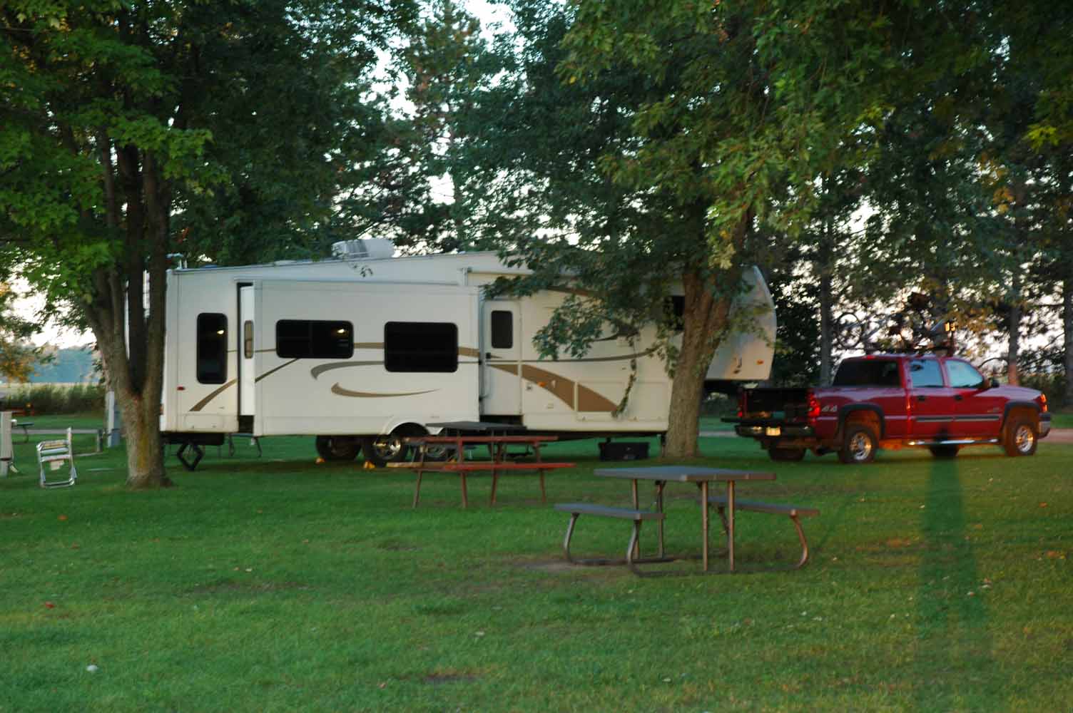
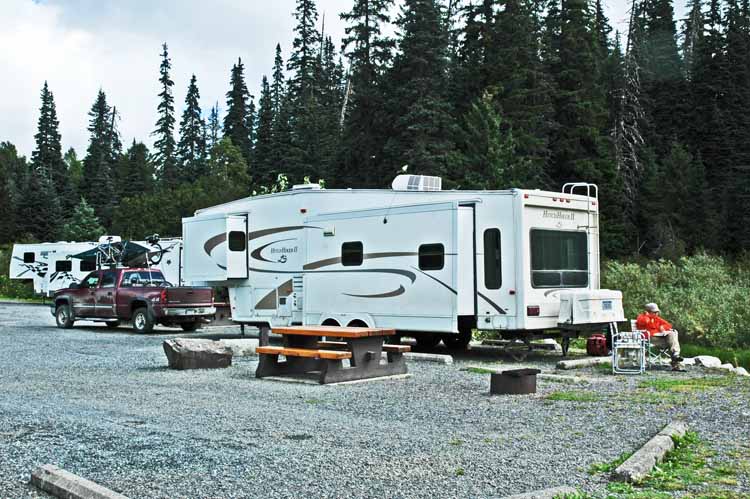
Prepping the Unit
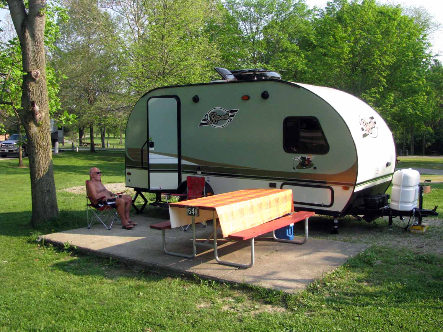
Set up Complete – First Night Out
Well, what do you think? The new RV (Rpod 179) is 15 ft shorter and 10,000 pounds lighter than the 5th wheel. Once we transferred all the “Stuff” there was hardly room for us. Guess we will need to regroup on the other end! Before we left Ohio we stayed in an RV park close by the dealership just in case. Everything worked great and headed back to home base in Michigan.
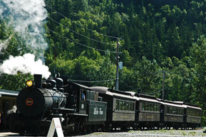
Larry Shimer and Jan at EnterTRAINment
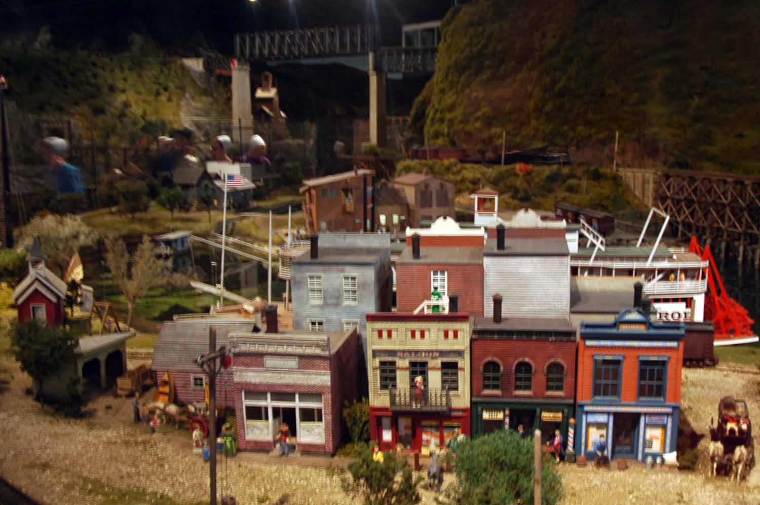
Old River Town EnterTRAINment
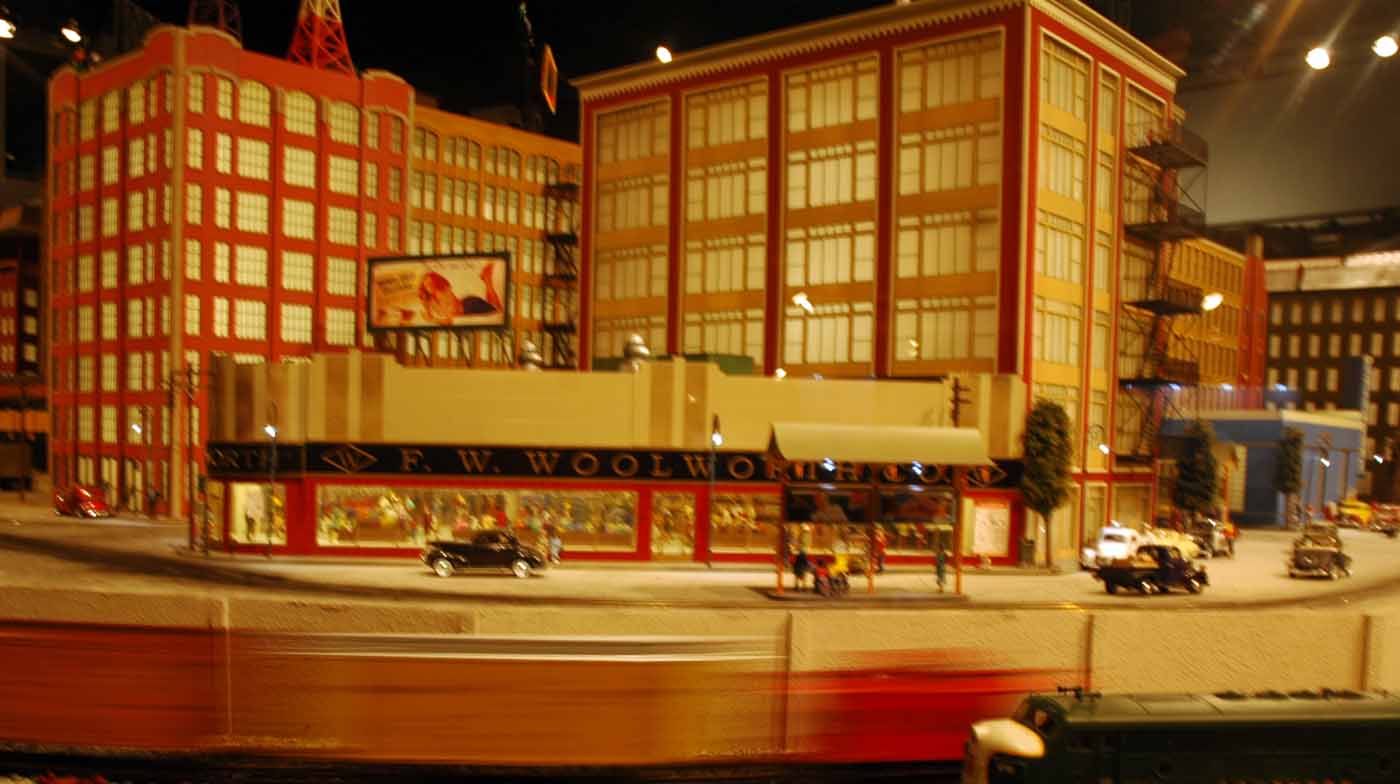
EnterTRAINment Downtown
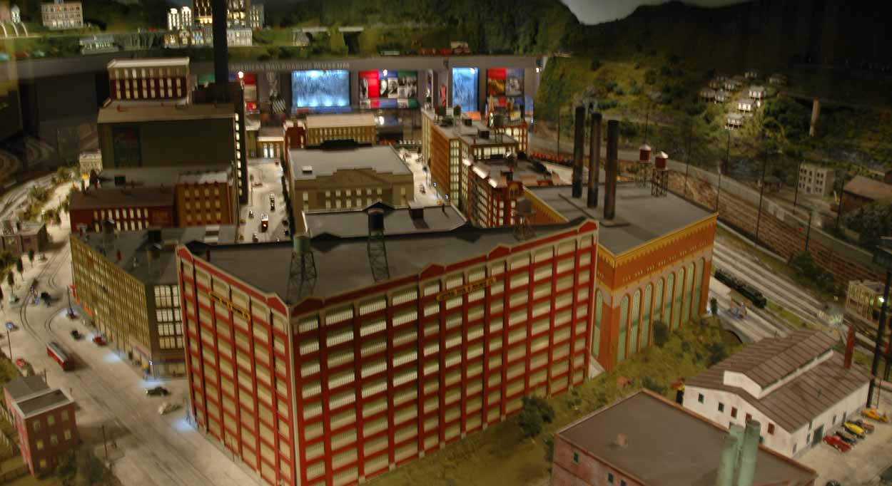
EnterTRAINment City Scene
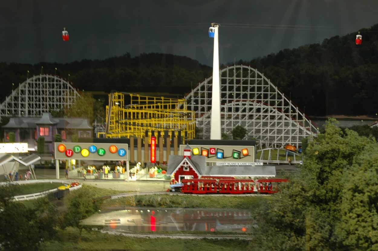
EnterTRAINment – Would You Believe Coney Island
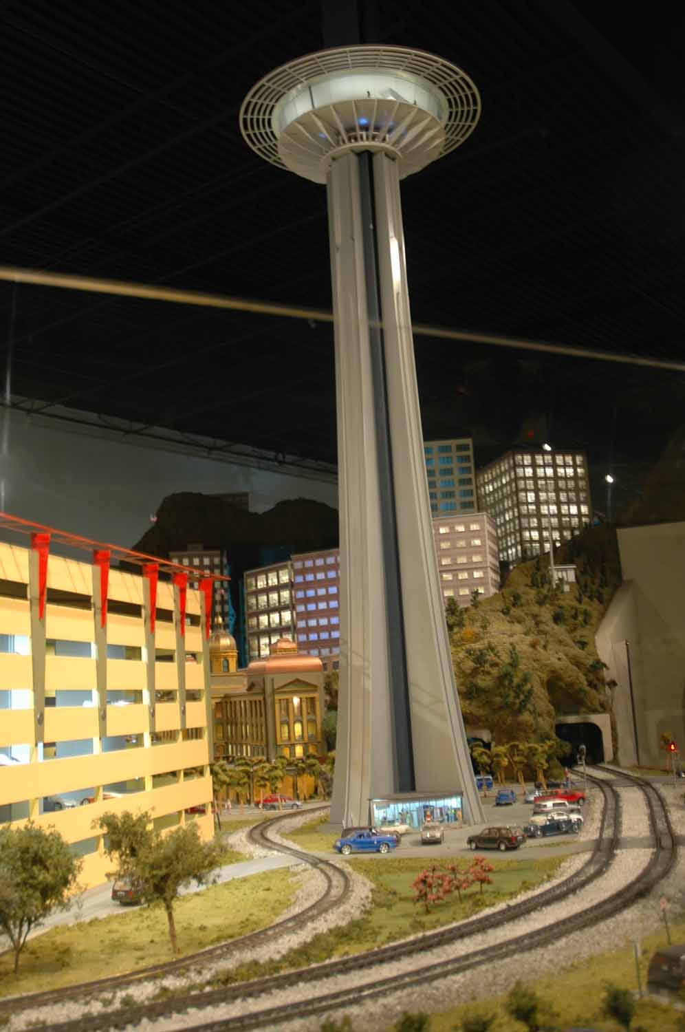
EnterTRAINment Seattle
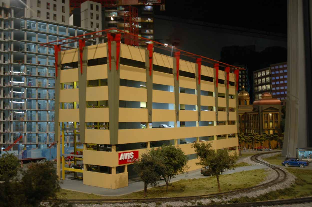
EnterTRAINment Seattle Parking
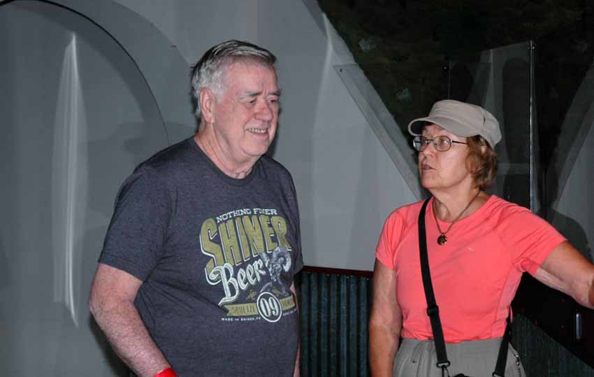
While we were staying in Ohio, we caught up with Larry again. He is a model train enthusiast and a favor stop for him is a place called EnterTRAINment. The displays are realistic as well as impressive. The displays are ever changing. It was a great experience and a worthwhile stop. We will go back.
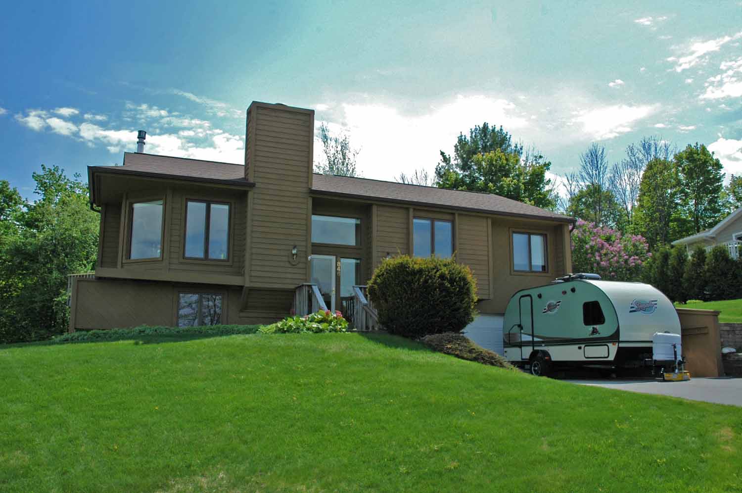
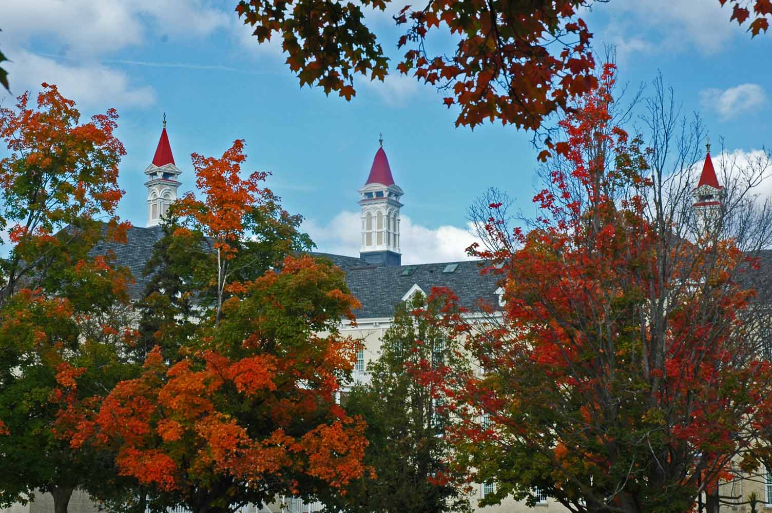
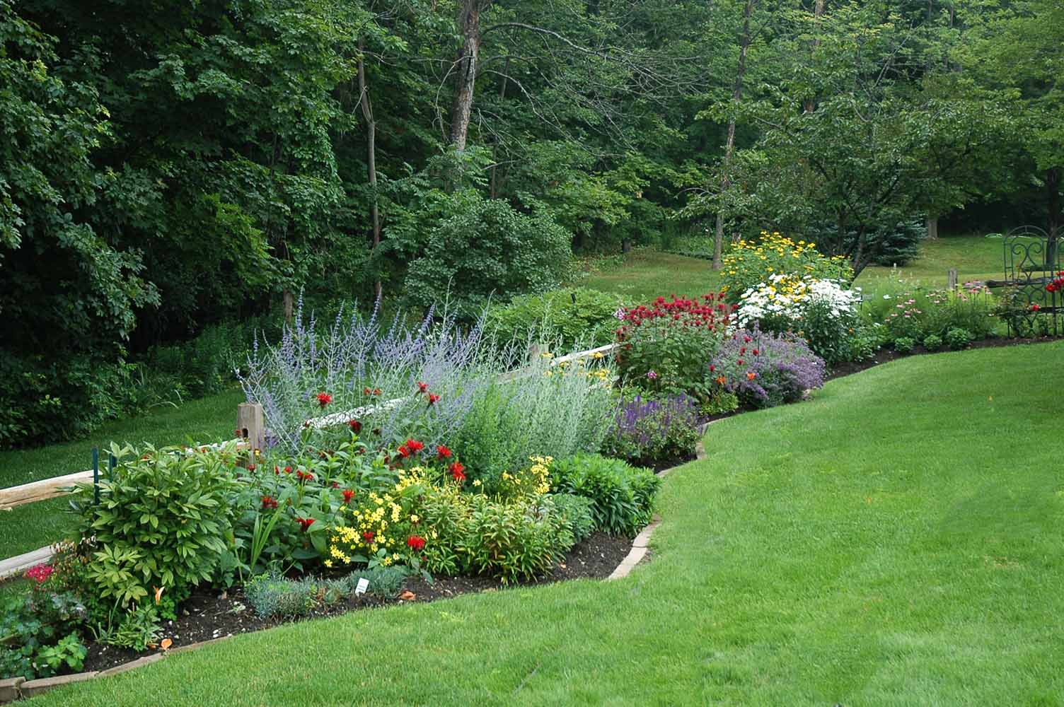
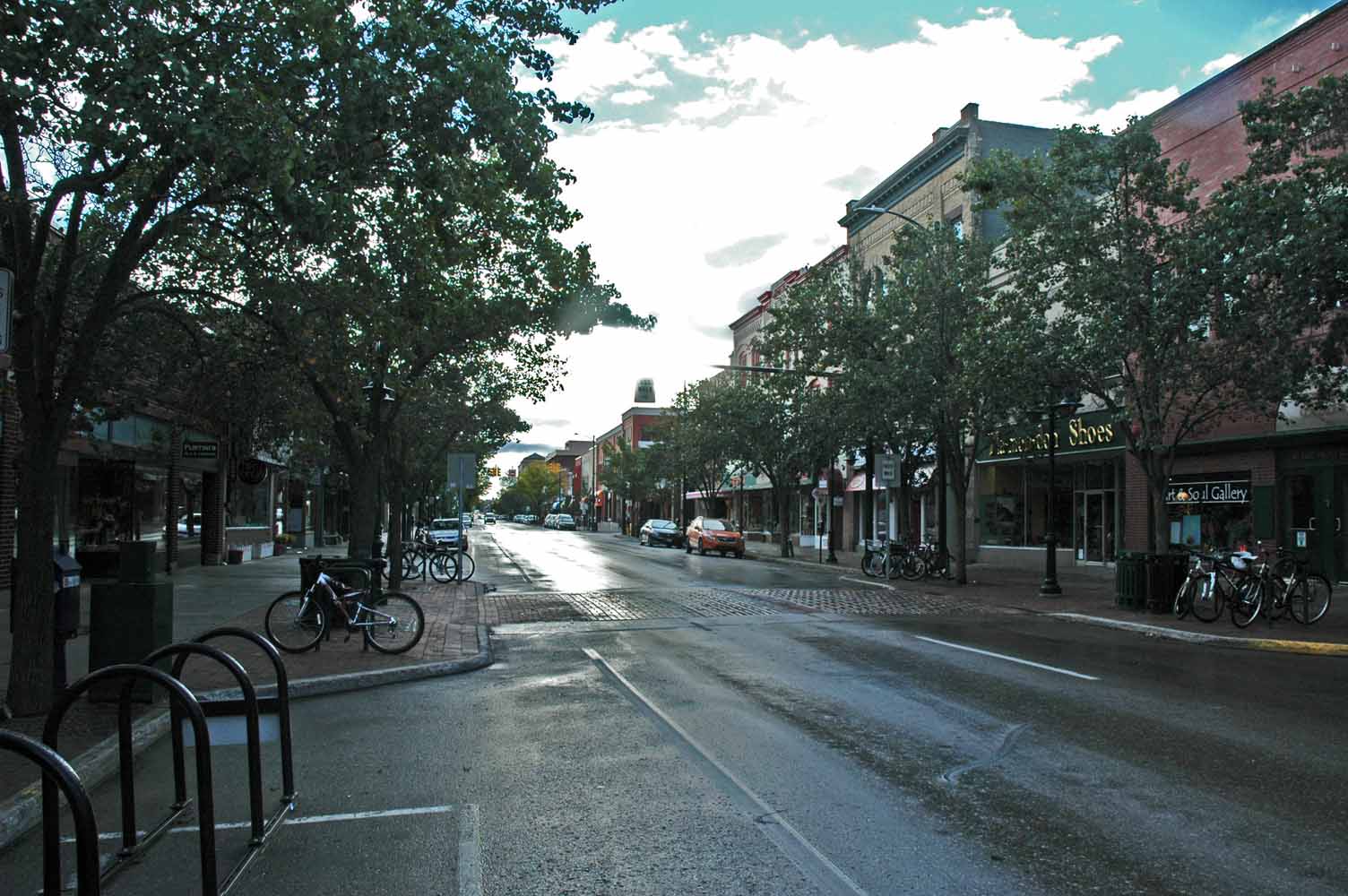
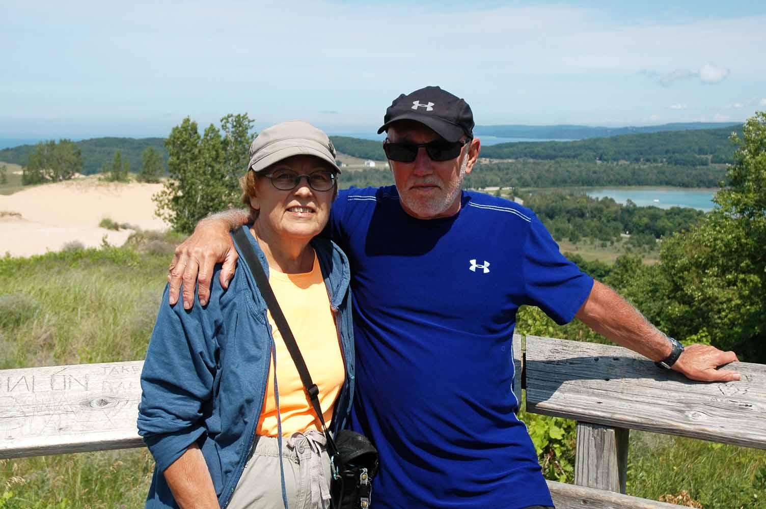
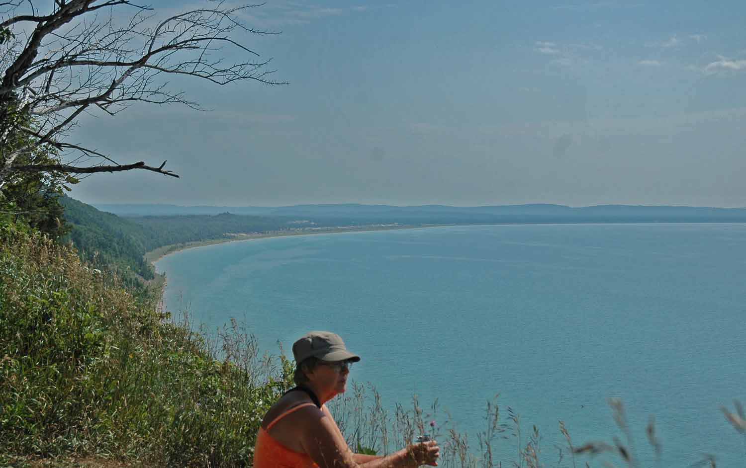
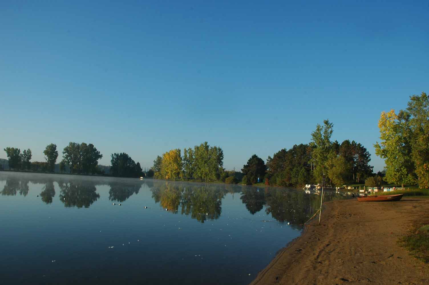
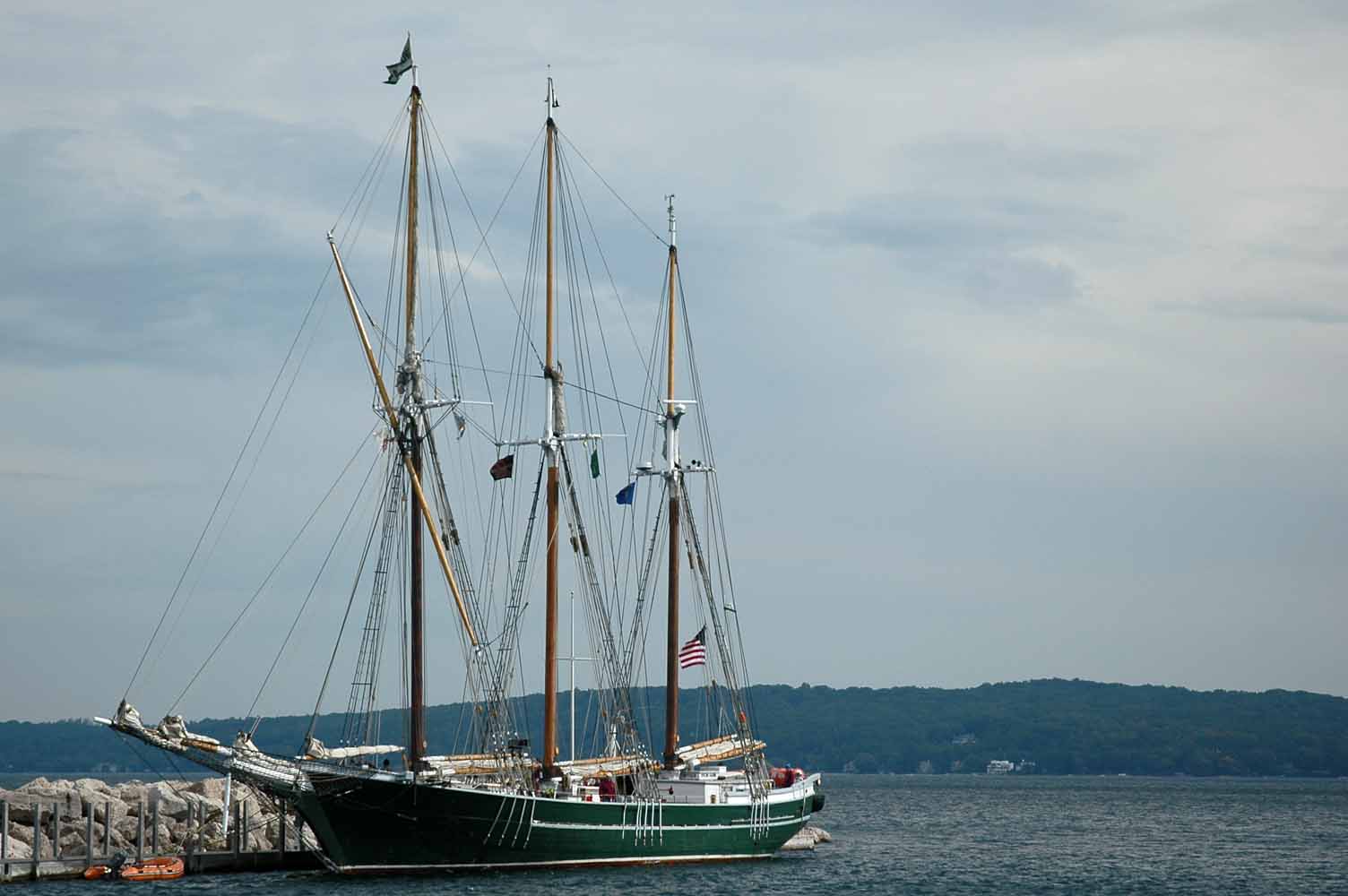
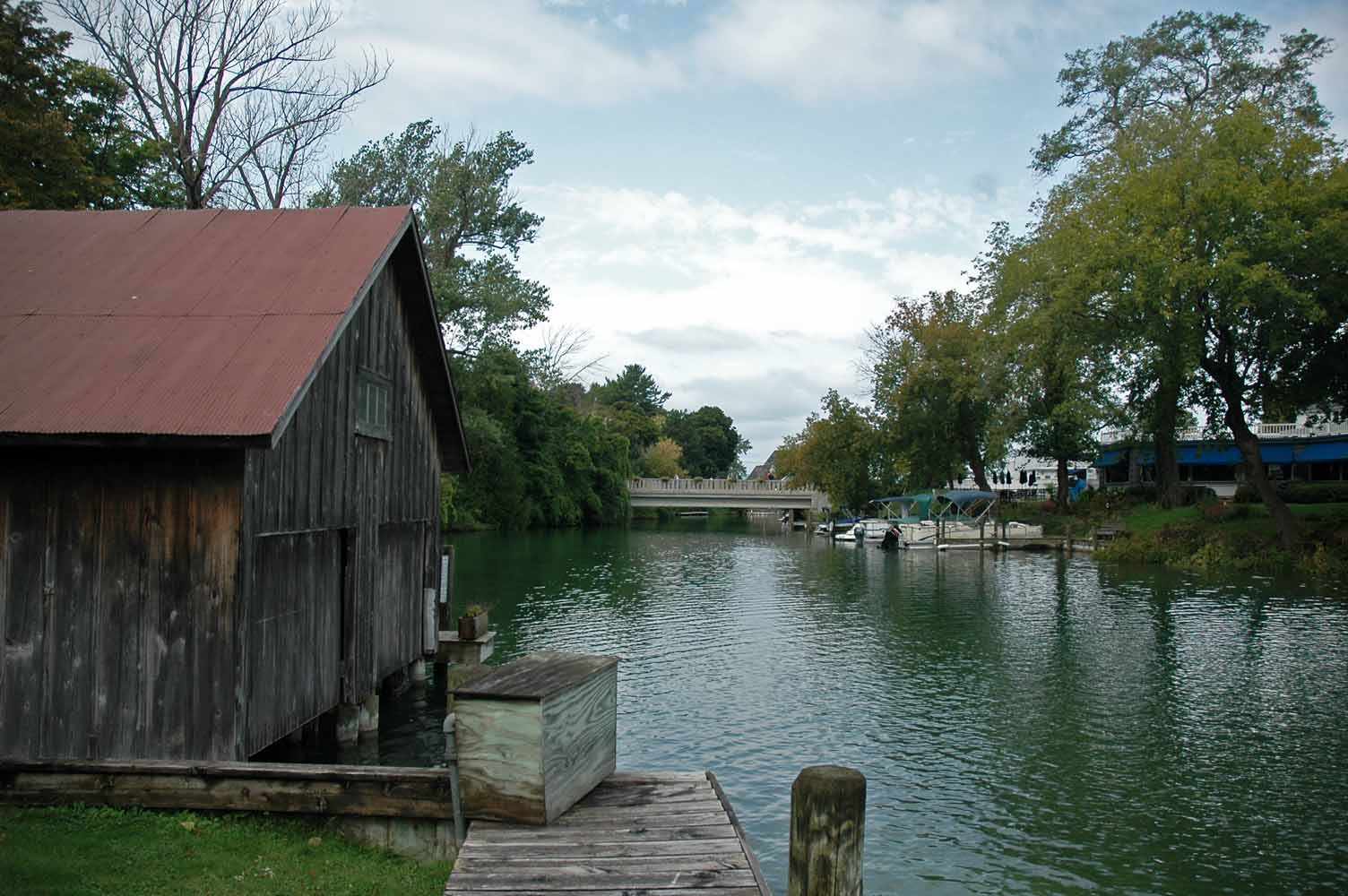
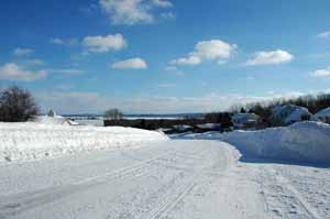
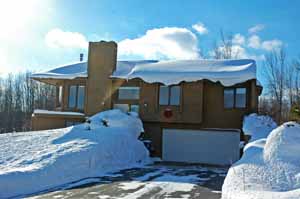
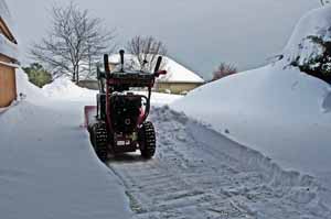
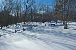
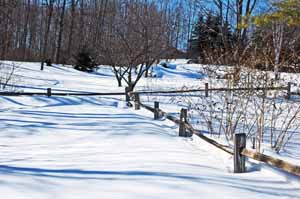
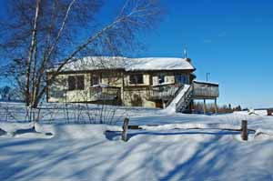
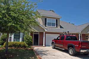
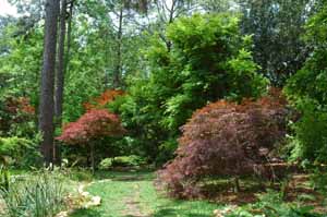
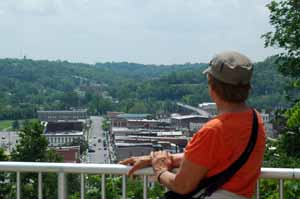
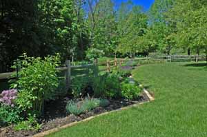
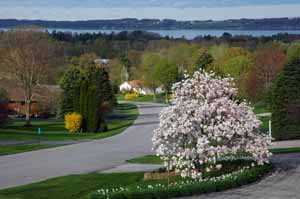
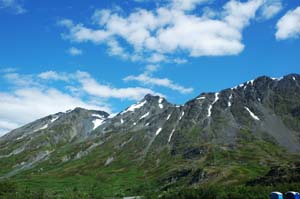
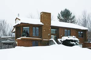
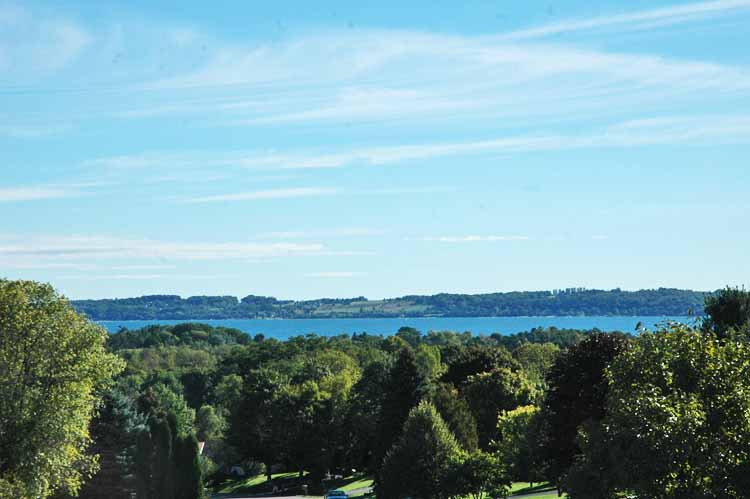
Back Home in Michigan
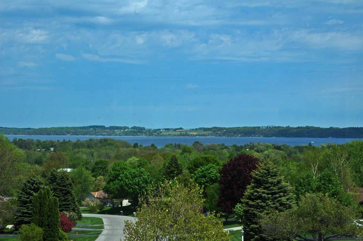
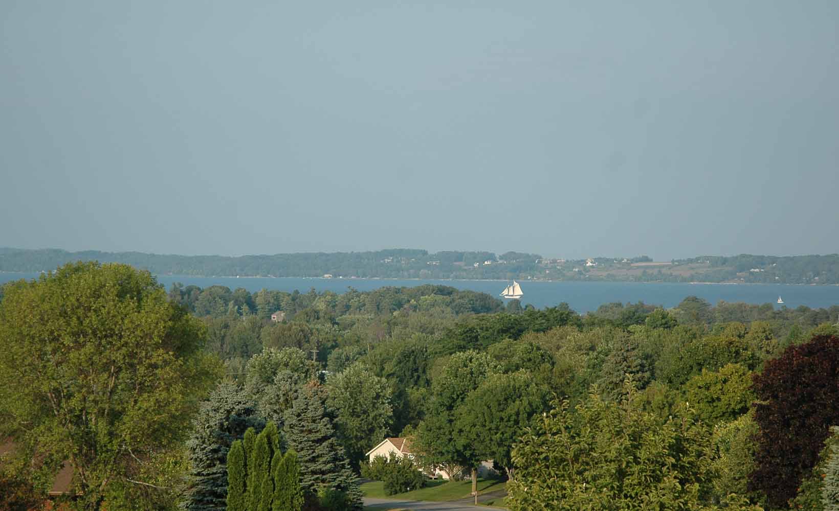
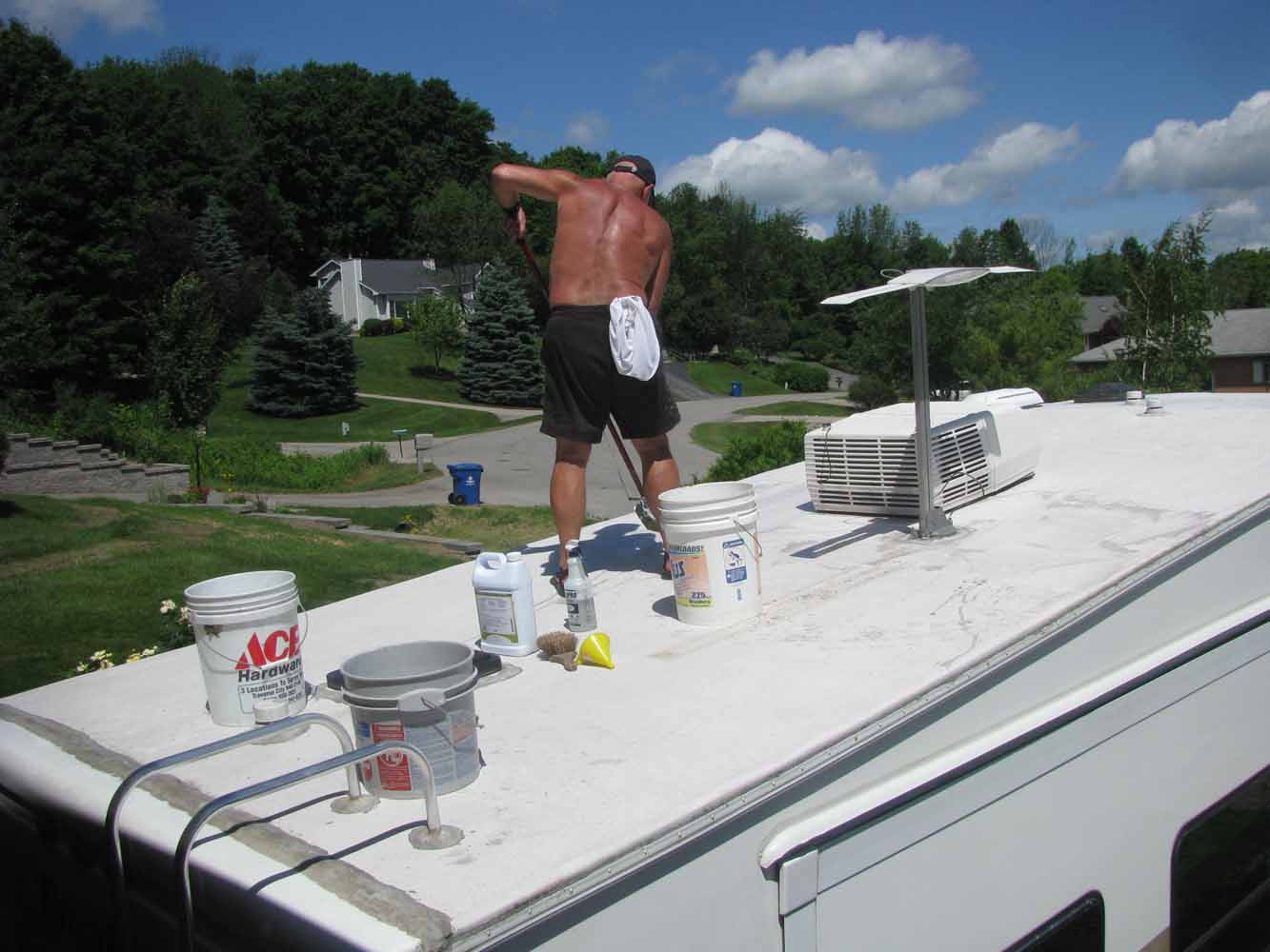
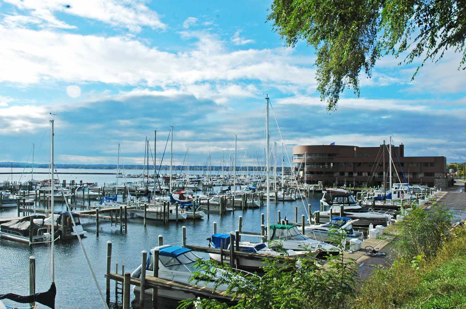
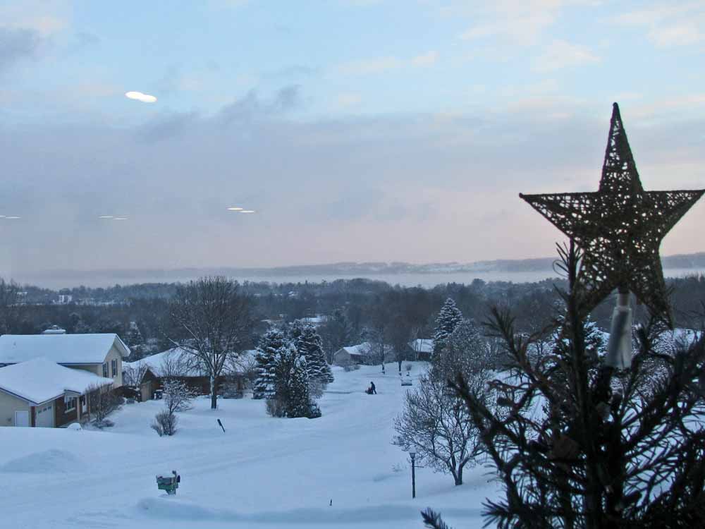
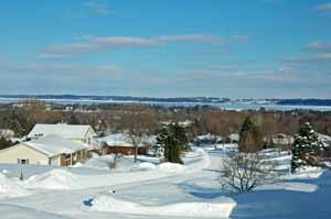
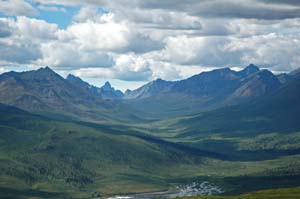
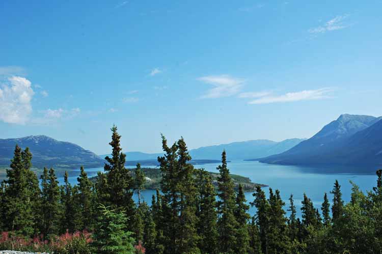
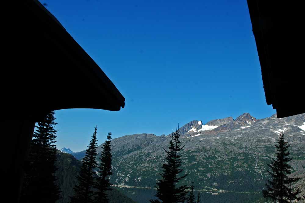
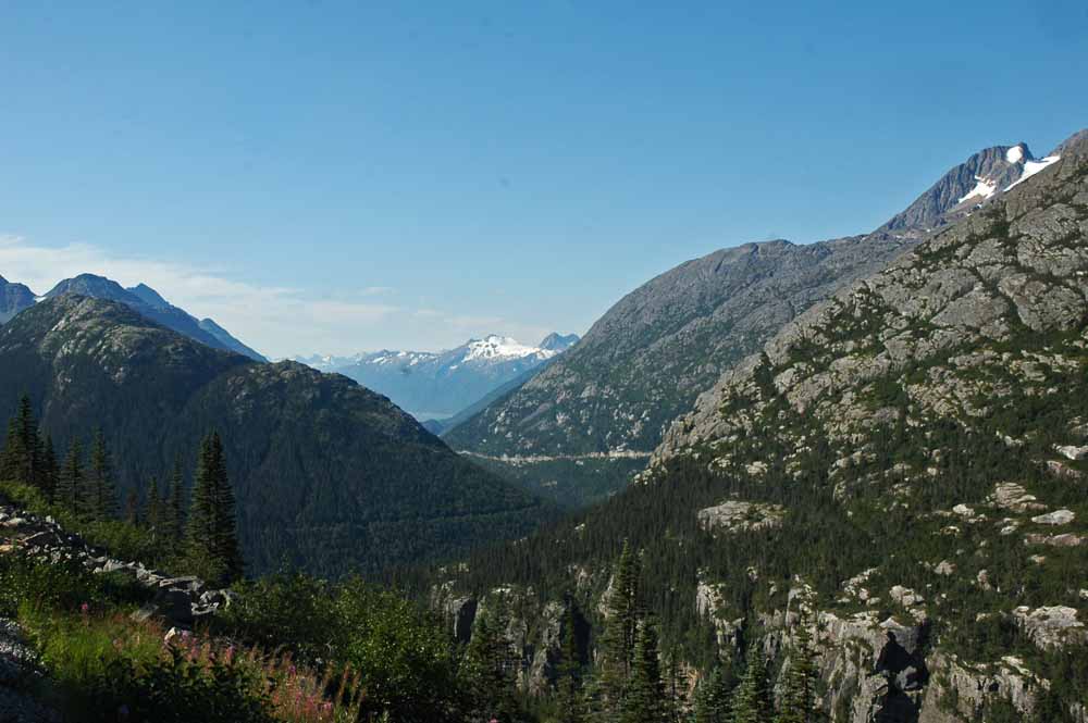
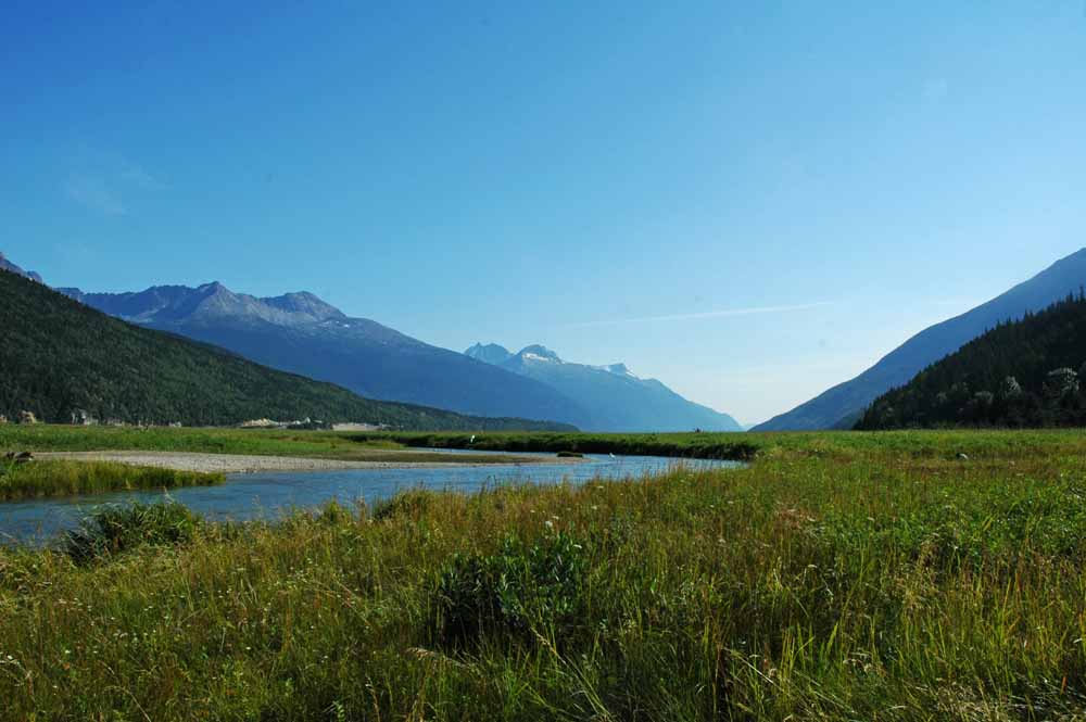
View from the Top
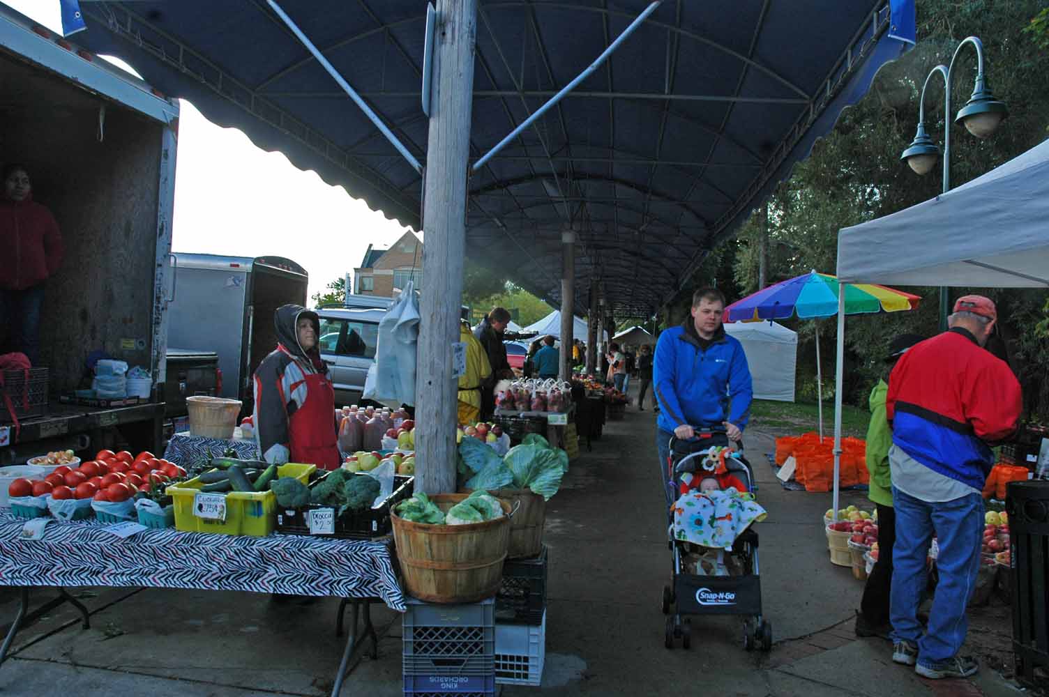
It is great to be back in Traverse City. We did miss the view. The grass was green and needing to be cut. For us the summer will have many projects, people to see and places to go. First is getting everything unpacked and settled in…
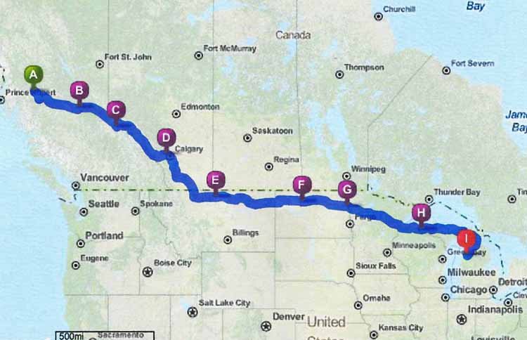
By design our summer will be short in Michigan. The middle of August we leave for two months on the road in the new RV. The ultimate destination is Utah along with enjoying other national parks in Arizona, Colorado, Nevada and New Mexico along the way. In October we end up in Mississippi and Louisiana finishing the trip up in Vicksburg and the land of the Acadians in Lafayette. Before the first of November we will be back at The Ridge.
Have a great summer!
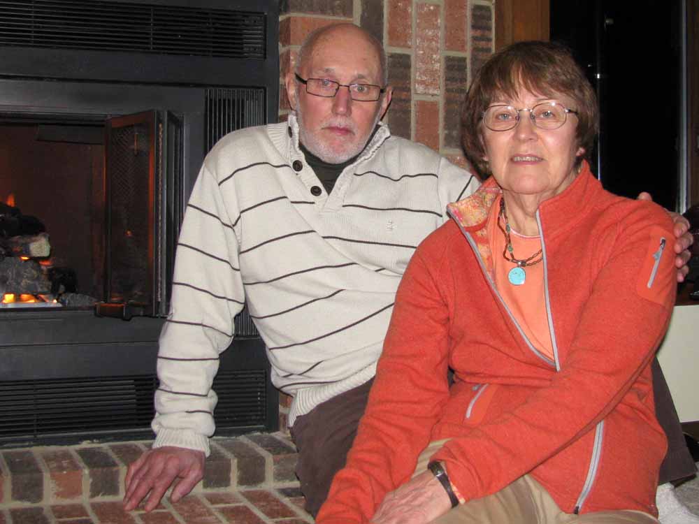
God Bless,
Larry and Jan